The best walks and hikes around Burlington
4.7
(231)
2,762
hikers
41
hikes
Hiking around Burlington, Vermont, offers diverse landscapes, from the shores of Lake Champlain to the foothills of the Green Mountains. The region features extensive forested areas, river floodplains, and wetlands, providing varied terrain for outdoor activities. Trails often provide views of the lake and the distant Adirondack Mountains, alongside opportunities to explore local woodlands and natural parks.
Best hiking trails around Burlington
- The most popular hiking route is Bronte Creek Ravine and Trillium Trail, a 6.7 miles (10.8 km) trail that takes 2 hours 48 minutes to complete. This moderate path features varied terrain through a ravine and forested areas.
- Another top favourite among local hikers is Bruce Trail — Iroquoia Section from Black Woods, a difficult 12.9 miles (20.7 km) path. This route offers significant elevation changes and extensive forest sections.
- Local hikers also love the Confederation Beach Park via Waterfront Trail — Burlington, a 12.9 miles (20.8 km) trail leading through waterfront areas, often completed in about 5 hours 15 minutes.
- Hiking around Burlington is defined by lakeside paths, forested ravines, and river floodplains, offering options for different ability levels.
- The routes in Burlington are highly rated by the komoot community with an average score of 4.8 stars from more than 110 reviews. More than 1500 hikers have used komoot to explore Burlington's varied terrain.
Last updated: November 13, 2026
5.0
(1)
21
hikers
10.8km
02:49
60m
60m
Moderate hike. Good fitness required. Easily walkable paths.
5.0
(1)
18
hikers
5.62km
01:33
90m
90m
Easy hike. Easily walkable paths.

17
hikers
2.64km
00:43
40m
40m
Easy hike. Easily walkable paths.
5.0
(2)
10
hikers
20.7km
05:44
360m
360m
Hard hike. Very good fitness required. Easily walkable paths.
12
hikers
12.2km
03:24
220m
220m
Moderate hike. Good fitness required. Easily walkable paths.
Get access to more routes and recommendations from other explorers.
Already have an account?
Our route recommendations are based on thousands of hikes, rides, and runs completed by other people on komoot.
Start today with a free account
Your next adventure awaits.

Tips from the Community

South Bridle Trail curves around the southern edge of the Grindstone Marshes, and is an easy route with peaceful wetland scenery and two lookout points over the marsh. Compared with the more elevated North Bridle Trail, this section stays lower and feels more open in places, making it a good spot for birdwatching and views across the water.
0
0
North Bridle Trail follows the northern side of the Bridle Loop in the Royal Botanical Gardens trail system, crossing a boardwalk over Grindstone Creek and marsh habitat before climbing gently along the upper valley edge. The route combines wetland views with a slightly more elevated feel, with short, rooty sections and overlooks of the beautiful surrounding valley. Often paired with the South Bridle Trail to form a loop, it offers a great mix of marsh scenery and wooded hillside walking.
0
0

You get a nice mix of singletrack and doubletrack on the way between Guelph Line and Fisher's Pond. There is parking alongside the road at Guelph Line, and you climb up and over a wooden fence via short ladder steps to get to the trail.
0
0

The Iroquoia Section of the Bruce Trail makes up 122 kilometers of the 900+ kilometers that encompass the full Bruce Trail. This particular portion runs through forests and along ridgelines just outside of Burlington. You'll find a mix of lush forest and open views across the treetops and lake. There are multiple entry and exit point so you can tailor the hike to fit your needs.
0
0
This is an excellent vantage point to take in the view across the forest and city. You can access it via the stairs up the side of the hill or by taking one of the trails.
0
0

The Iroquoia Section of the Bruce Trail stretches nearly 122 kilometers and is one of the trail’s nine sections. This portion of the Bruce Trail passes through a mix of forests, rocky escarpment cliffs, and scenic lookouts overlooking the surrounding countryside and Lake Ontario. With its varied landscapes and accessible trailheads, the Iroquoia Section is one of the most popular stretches of the Bruce Trail for day hikes.
0
0
Fisher’s Pond is a small, quiet natural area tucked into a residential neighborhood. The pond is surrounded by wetlands and trees, creating a peaceful spot that attracts birds, turtles, and other wildlife. A short network of natural trails loops around the pond, making it a nice place for a relaxed walk or a bit of birdwatching. In a few areas, boardwalks help you cross the wetter sections of the trail.
0
0
Hendrie Valley Sanctuary, part of the Royal Botanical Gardens, is a beautiful 100-hectare protected area centred around an expansive river-mouth marsh complex, forested slopes, and four creeks, including Grindstone Creek, forming one of the most ecologically significant wetland corridors on Lake Ontario. Boardwalks and trails follow the creek through marsh pools, wooded slopes, and oxbows, with plenty of chances to spot herons, turtles, and warblers. There is a lovely 4.5-kilometre trail network with several easy access points, making it an excellent place for a leisurely walk, with plenty of wildlife to see along the way.
0
0
Frequently Asked Questions
What types of hiking trails can I find around Burlington?
Burlington offers a diverse range of hiking experiences, from leisurely lakeside strolls along Lake Champlain to more challenging ascents in the Green Mountains. You'll find trails winding through extensive forested areas, river floodplains, and wetlands. Many routes provide picturesque views of Lake Champlain and the distant Adirondack Mountains.
Are there easy hiking trails suitable for beginners or families in Burlington?
Yes, Burlington has numerous easy trails perfect for beginners or families. For example, the Grindstone Marshes Trail is an easy 2.8 km path, and the Fisher's Pond loop is another easy option at 2.3 km. These trails often feature gentle terrain and offer opportunities to enjoy nature without significant elevation changes. Parks like Oakledge Park and the Intervale Center also provide accessible walking paths.
What are some popular natural attractions or landmarks to see while hiking near Burlington?
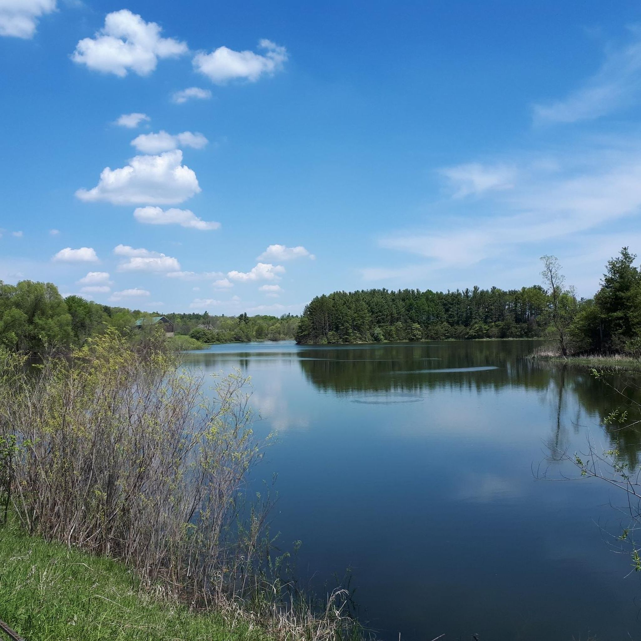
While hiking near Burlington, you can explore various natural attractions. The region is known for its beautiful lakes, such as Crawford Lake and the scenic views from Lake view from the dam. There are also several waterfalls to discover, including Borer's Falls and Hilton Falls, which can be a rewarding sight along your route.
What do other hikers say about the trails around Burlington?
The hiking trails around Burlington are highly regarded by the komoot community, boasting an average rating of 4.8 out of 5 stars from over 110 reviews. Hikers frequently praise the diverse landscapes, from serene lakeside paths to challenging mountain routes, and the accessibility of nature from the city center.
Are there any challenging long-distance hikes in the Burlington area?
Yes, for experienced hikers seeking a challenge, there are more difficult and longer routes available. An example is the Bruce Trail — Iroquoia Section from Black Woods, a difficult 20.7 km path with significant elevation changes. The region also offers access to iconic peaks like Camel's Hump in the Green Mountains for strenuous alpine experiences.
Can I find trails with waterfront views in Burlington?
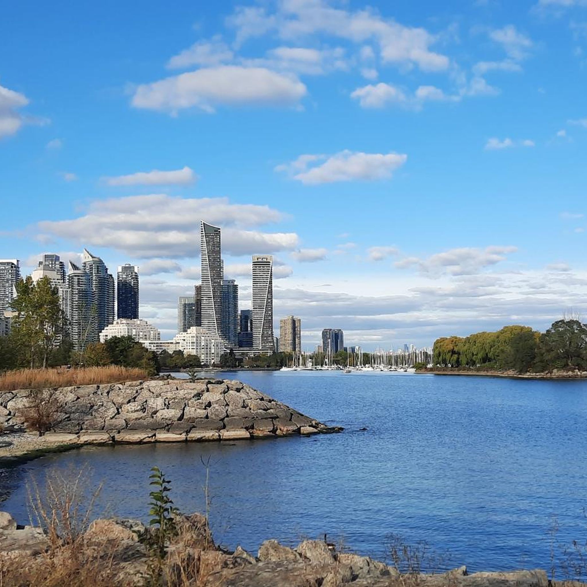
Absolutely. Burlington's location on Lake Champlain means many trails offer stunning waterfront views. Parks like Oakledge Park, Red Rocks Park, and Rock Point feature trails directly along the rocky shores or with serene lake vistas. The Confederation Beach Park via Waterfront Trail — Burlington is a notable route that leads through waterfront areas.
Are there any circular hiking routes available?
Yes, many trails around Burlington are designed as loops, offering varied scenery without retracing your steps. The Fisher's Pond loop is an example of a circular route, ideal for a shorter, easy hike. Other parks and natural areas also feature extensive trail networks with loop options.
What is the best time of year to go hiking in Burlington?
Burlington offers hiking opportunities year-round. Spring and fall provide beautiful foliage and comfortable temperatures. Summer is popular for lakeside trails and enjoying the water. Even winter offers chances for snowshoeing and cross-country skiing on many trails, though conditions can be challenging on higher mountain routes.
Are there any trails that pass through unique natural features like ravines or marshes?
Yes, the region's diverse landscape includes trails through unique natural features. The Bronte Creek Ravine and Trillium Trail, for instance, takes you through a ravine and forested areas. The Grindstone Marshes Trail offers a chance to explore wetland environments.
How many hiking routes are available around Burlington?
There are over 30 hiking routes available around Burlington, catering to various skill levels. This includes 23 easy trails, 8 moderate trails, and 2 difficult trails, ensuring options for everyone from casual walkers to experienced hikers.
Are there any trails that offer panoramic views of the surrounding area?
Many trails in and around Burlington provide expansive views. Mount Philo State Park offers a moderate hike to the highest point in the Champlain Valley, rewarding hikers with panoramic views of Lake Champlain and the Adirondacks. Ethan Allen Park, with its historic tower, also provides breathtaking vistas of Burlington and the lake.
Most popular attractions around Burlington

Get inspired with the komoot mobile app


Explore more
Browse the best Hikes in other regions.
