The best running trails around Reinsvatnet
4.8
(14)
890
runners
84
runs
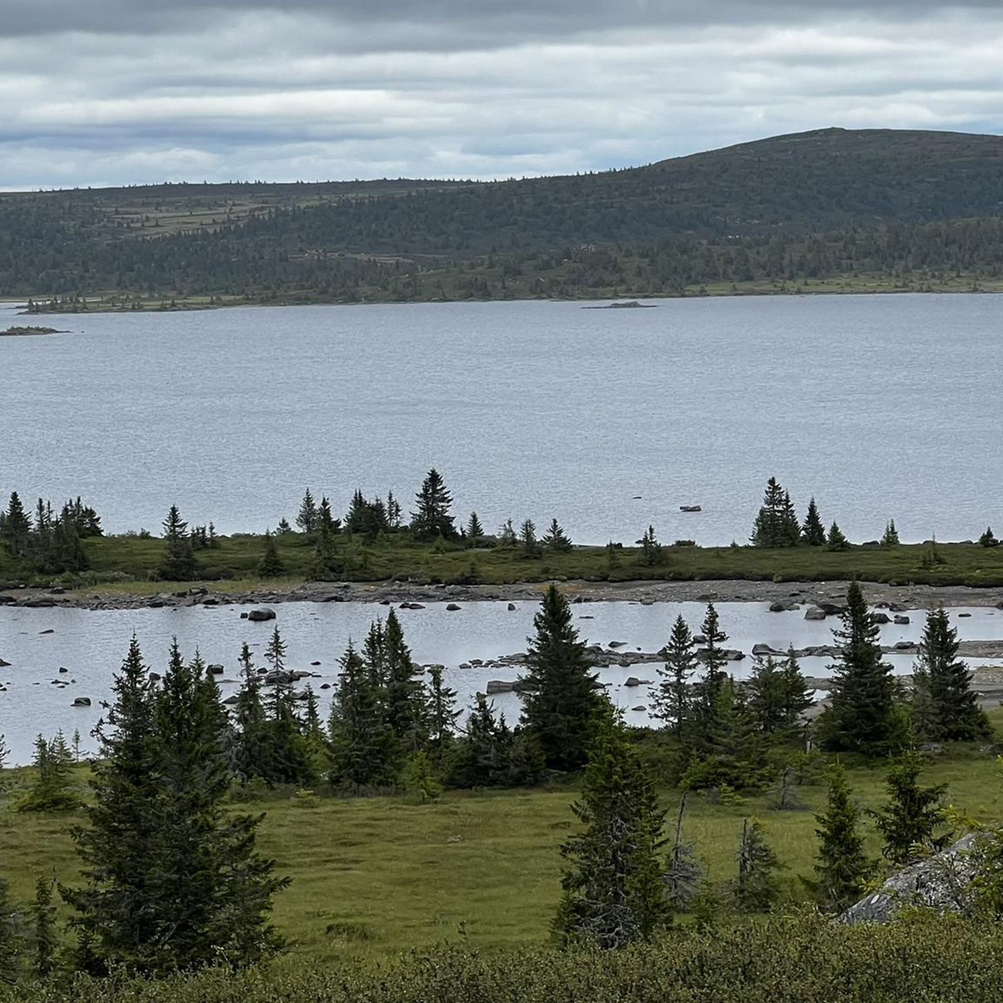
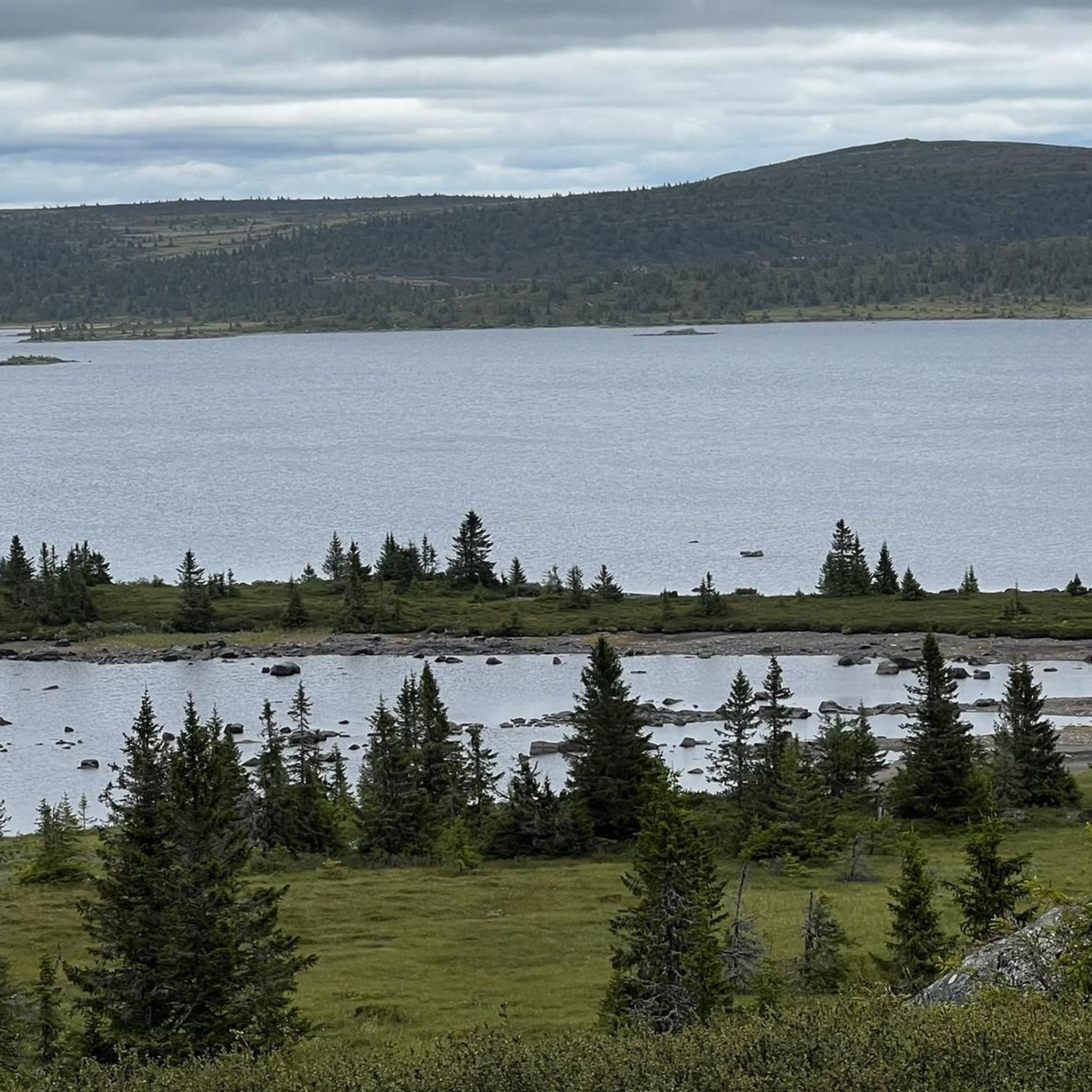
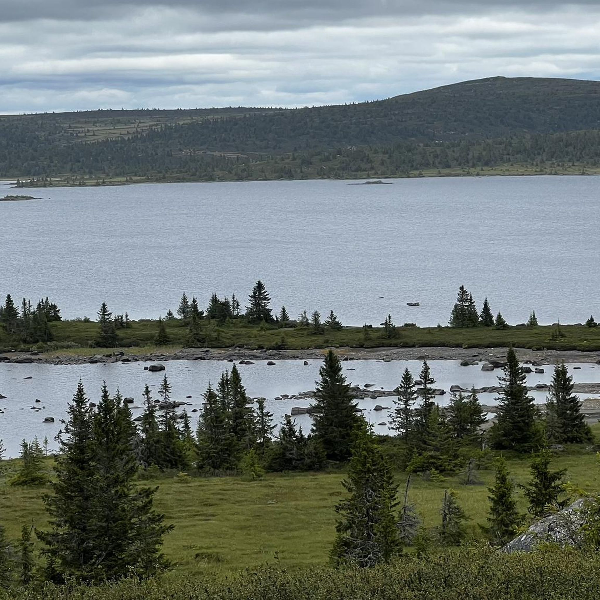
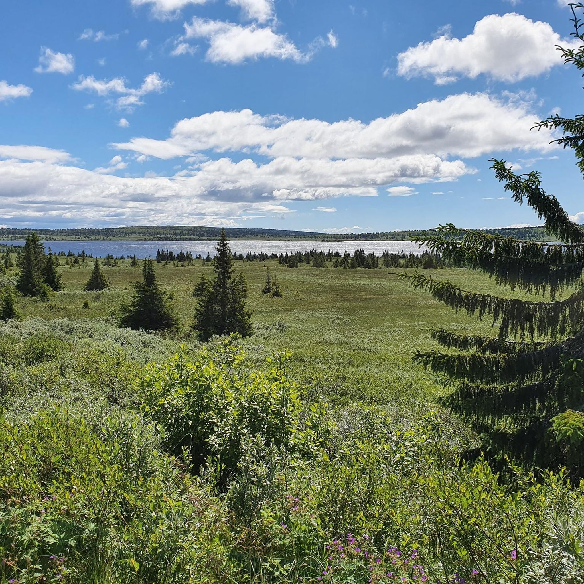
Jogging routes around Reinsvatnet offer diverse landscapes for running, characterized by winding trails that traverse forests, mountain ridges, and scenic plateaus. The region features hills, fishing lakes, and moors, providing a varied natural experience. Many paths are largely natural, accommodating various fitness levels, from easy, family-friendly options to more challenging mountain ascents.
Best jogging routes around Reinsvatnet
- The most popular jogging route is Reinsfjellet, Kriksfjellet, and Hitfjellet Loop Trail, an 8.5 miles (13.6 km) trail that takes 1 hour…
Last updated: June 29, 2026
7
runners
13.6km
01:43
340m
340m
Hard run. Very good fitness required. Sure-footedness, sturdy shoes and alpine experience required.
8
runners
15.0km
01:57
410m
410m
Hard run. Very good fitness required. Sure-footedness, sturdy shoes and alpine experience required.

Sign up for free
14
runners
30.0km
03:48
810m
810m
Hard run. Very good fitness required. Sure-footedness, sturdy shoes and alpine experience required.
15
runners
Hard run. Very good fitness required. Mostly paved surfaces. Suitable for all skill levels.
5.0
(1)
11
runners
27.1km
03:04
440m
440m
Hard run. Very good fitness required. Mostly paved surfaces. Suitable for all skill levels.
Get access to more routes and recommendations from other explorers.
Sign up for free
Already have an account?
Our route recommendations are based on thousands of hikes, rides, and runs completed by other people on komoot.
Start today with a free account
Your next adventure awaits.
Login or Signup

Tips from the Community

The refurbished Pellestova Hotel, situated on the slopes of Mount Hafjell, is a superb base for hiking, skiing and cycling in the Lillehammer region. It's an accommodation option at the end of the first stage of the SignaTUR SAGA long-distance trail. It has modern facilities and 68 rooms.
0
1
This is a charming picnic area on the shores of Nevelvatnet. There's a fine loop around the lake, the Nevelvatnet Rundt, while a hike up neighbouring Nevelfjell takes you to the highest point in the Lillehammer municipality, at 1,089 metres (3,573 ft).
0
0

Whether you're hiking or cycling, this is a great spot to relax by the water. There's also a playground nearby for the kids.
0
0
Reinsfjellet can be combined with Kriksfjell and Hitfjell to create a hugely satifying Øyerfjellet round. The plateau here is not too far from Lillehammer and makes for some great adventures.
0
1
Hitfjellet is a summit in the Øyerfjellet region. A run in this area boasts tremendous views towards Rondane and Jotunheimen and all without too much elevation change.
0
1
Kriksfjell boasts some of Øyerfjellet's most breathtaking views. It can be worked into a marvellous loop along with Hitfjellet and Reinsfjellet which, despite taking in three summits, doesn't involve a huge amount of vert.
0
1

The shelter, which was lovingly restored in 2021, offers wonderful protection from the rigors of nature in icy winds ;-).
0
0

Small hut on the windy summit. There's a very good view from the summit.
0
0
Frequently Asked Questions
How many running routes are available around Reinsvatnet?
The Reinsvatnet area offers a wide selection of running routes, with over 80 trails documented on komoot. These range from easy paths to challenging mountain ascents, catering to various fitness levels.
Are there any easy or beginner-friendly jogging routes in Reinsvatnet?
Yes, Reinsvatnet has several easy and family-friendly paths. The region research highlights loops around Reinsfjellet and Nevelvatnet as suitable for a relaxed jog. While many routes are more challenging, there are options designed for beginners to enjoy the scenic landscape.
What kind of terrain can I expect on the jogging trails around Reinsvatnet?
The terrain around Reinsvatnet is incredibly varied, featuring winding trails through forests, mountain ridges, and scenic plateaus. You'll encounter hills, fishing lakes, and moors. Many paths are largely natural, providing an authentic outdoor experience. Some trails, like the one to Hitfjellet, are noted for having 'not too much elevation change,' making them ideal for running while still offering great views.
Are there any circular running routes in the Reinsvatnet area?
Yes, many of the routes around Reinsvatnet are designed as loops. For example, the challenging Reinsfjellet, Kriksfjellet, and Hitfjellet Loop Trail is a popular option. Another is the difficult Nevelfjellhytta – Neveltoppen loop from Nevelvatn, which leads to a summit.
What are the best starting points for running routes in Reinsvatnet?
Nearby Nordseter and Pellestova are excellent starting points for outdoor activities in the Reinsvatnet area. Nordseter is particularly highlighted as an 'ideal starting point for both short and long hikes' due to its diverse landscapes and well-maintained trails. Pellestova Hotel also serves as a convenient base.
Are there any running routes with notable viewpoints or scenic vistas?
Absolutely. The region is known for its breathtaking views of distant mountain ranges like Rondane and Jotunheimen, especially from elevated points such as Kriksfjellet. Routes leading to summits like Reinsfjellet (1,066 meters), Neveltoppen, and Hitfjellet (1,083 meters) offer tremendous panoramic views.
What do other runners say about the trails in Reinsvatnet?
The running routes in Reinsvatnet are highly rated by the komoot community, with an average score of 4.8 stars from more than 10 reviews. Over 800 runners have used komoot to explore the varied terrain, often praising the diverse landscapes and the authentic outdoor experience.
Are the running trails around Reinsvatnet suitable for families?
Yes, the area offers routes suitable for all fitness levels, including easy, family-friendly paths. Loops around Reinsfjellet and Nevelvatnet are specifically mentioned as being easy and perfect for a relaxed jog with the family.
Is there parking available near the running routes?
While specific parking locations aren't detailed, Nordseter and Pellestova serve as convenient hubs, suggesting that parking facilities would be available in these areas, which are common starting points for trails.
Are there any amenities like cafes or places to rest near the running trails?
Nordseter and Pellestova are mentioned as convenient hubs for outdoor enthusiasts. Pellestova Hotel acts as a base for various activities, implying that amenities like cafes or places to rest would be available in these areas, particularly at the starting points for many routes.
Can I bring my dog on the running trails in Reinsvatnet?
The region is generally welcoming to outdoor activities. While specific leash rules are not detailed in the provided information, many natural trails in Norway allow dogs, often requiring them to be on a leash, especially during certain seasons or in protected areas. It's always best to check local regulations upon arrival.
What is the longest challenging running route in the area?
One of the longest and most challenging routes is the Nevelfjellet Shelter – Nevelfjell Summit loop from Nordseter. This difficult trail spans 18.7 miles (30.0 km) through mountain terrain, typically taking around 3 hours 48 minutes to complete.
Most popular routes around Reinsvatnet

Get inspired with the komoot mobile app


Explore more
Browse the best Running Trails & Routes in other regions.
