The best road cycling routes around Oakville
4.6
(98)
2,357
riders
27
rides
Road cycling routes around Oakville offer an extensive network of trails and dedicated cycling infrastructure. The region features over 200 kilometers of recreational trails and more than 260 kilometers of on-road bike lanes and off-road cycling paths. Cyclists can explore diverse landscapes including waterfront areas along Lake Ontario, forested ravines, and open meadows, with routes varying in elevation and length. The terrain is generally characterized by gentle rolling hills and flat sections, making it accessible for various fitness levels.
Best…
Last updated: August 28, 2026
5.0
(1)
97
riders
57.2km
02:22
250m
250m
Moderate road ride. Good fitness required. Some segments of this route may be unpaved and difficult to ride.
5.0
(2)
83
riders
50.0km
02:04
190m
190m
Moderate road ride. Good fitness required. Some segments of this route may be unpaved and difficult to ride.

Sign up for free
3.0
(2)
54
riders
Moderate road ride. Great for any fitness level. Some segments of this route may be unpaved and difficult to ride.
5.0
(1)
36
riders
Easy road ride. Great for any fitness level. Mostly well-paved surfaces and easy to ride.
19
riders
51.5km
02:05
180m
180m
Moderate road ride. Good fitness required. Mostly well-paved surfaces and easy to ride.
Get access to more routes and recommendations from other explorers.
Sign up for free
Already have an account?
Our route recommendations are based on thousands of hikes, rides, and runs completed by other people on komoot.
Start today with a free account
Your next adventure awaits.
Login or Signup
Tips from the Community

These informative signs sit along the Bronte Creek Heritage Trail, and create an educational journey down the “Moccasin Trail”. Learn about the tradition of the Anishinaabe (the Original People), and the Haudenosaunee (People of the Longhouse), their traditional teachings, native animals and more. Be sure to stop and take in all the signs have to say while enjoying the surrounding nature.
0
0

Bronte Heritage Waterfront Park sits at the mouth of Bronte Creek on Lake Ontario, with open lawns, a sandy beach, beautiful views of the harbour and paths connecting to the Waterfront Trail. The park has a picnic area, washrooms, parking, and plenty of space to sit by the water, making it a great place to stop for a break or lunch while exploring the waterfront. While you’re here, look out for the colourfully painted Muskoka chairs scattered throughout that have become something of a local trademark.
0
0
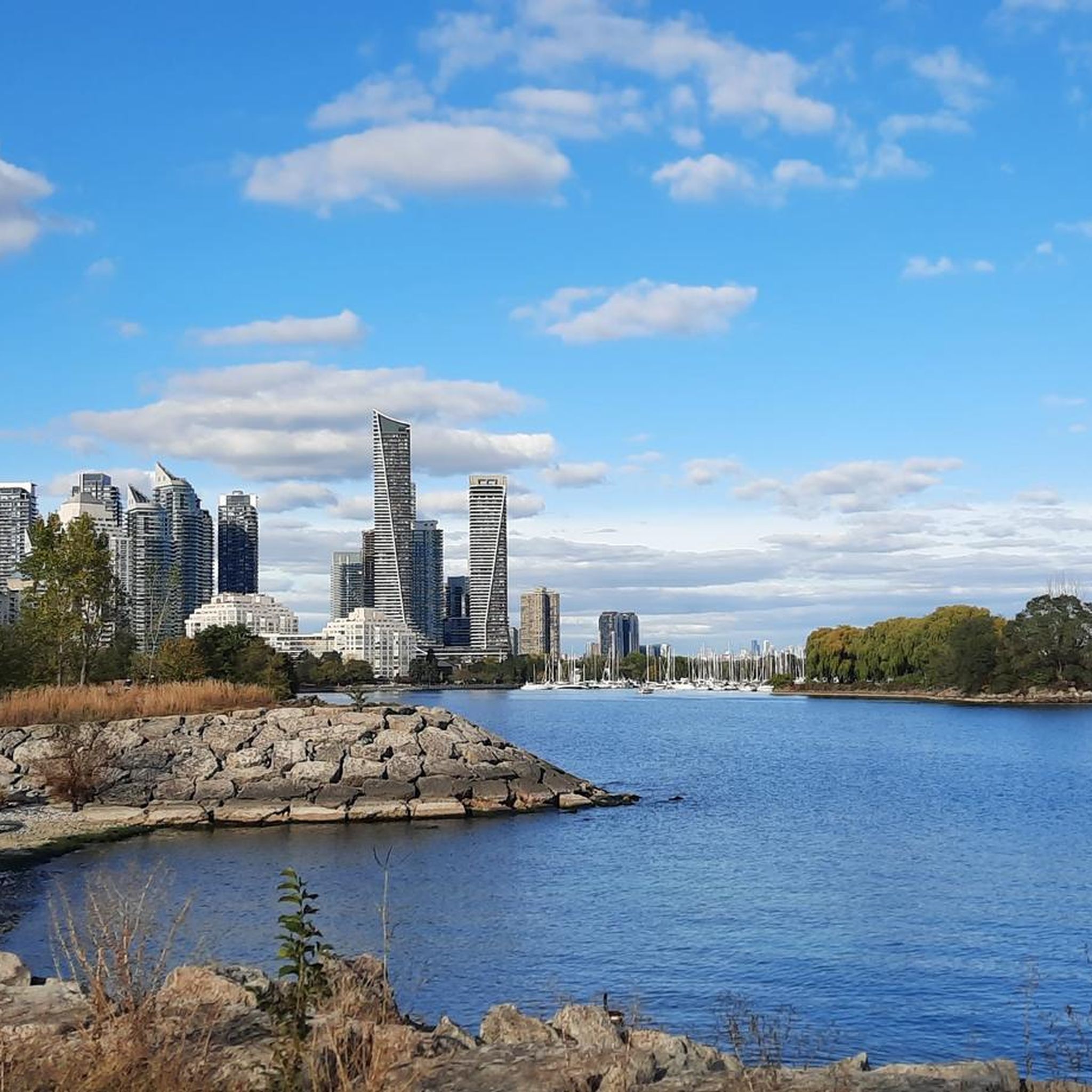
From this spot along the waterfront, Lake Ontario opens up in every direction, where you can watch sailboats drifting past to and from the marina and catch a glimpse of an occasional heron or cormorant working the shoreline. The water's edge is home to waterfowl, turtles, and small fish, making it one of the best places along this stretch of shoreline to stop and take in the scenery.
0
0
Bronte Creek, officially known as Twelve Mile Creek, flows down from near Morriston through Bronte Creek Provincial Park before reaching Lake Ontario at Bronte Harbour. The village of Bronte was founded here in 1834, right where the creek meets the lake, and by the mid-1800s it grew into a busy port before becoming the marina and waterfront park it is today. Cabins once stood on both sides of the creek here, built by freedom seekers who crossed the border via the Underground Railroad, making this stretch of water a significant part of Oakville’s Black history.
0
0
The Nine Creeks Trail stretches 12 kilometres, bringing hikers and bikers east and west across Mississauga. The paved pathway connects neighbourhoods, green spaces, and nine different creeks, as the name suggests. It is a popular trail in town, and maybe busy on weekends.
0
0
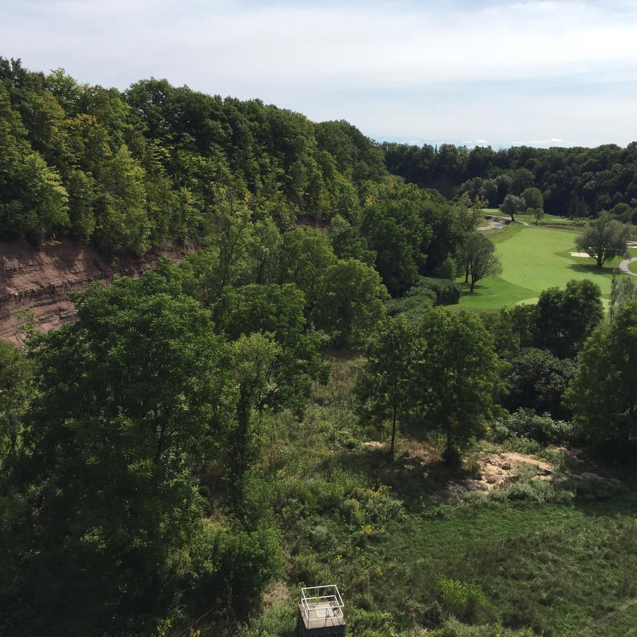
Whiteoaks Park sits in Mississauga’s Lorne Park neighbourhood but feels like a true escape into a remote forest. There is a trail network that brings hikers through thick forests, open grassy areas, and access points to Nine Creeks Trail.
0
0
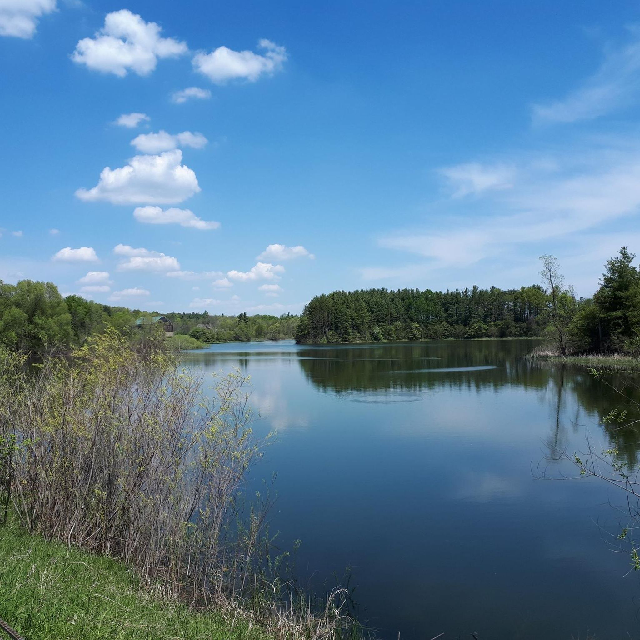
Nine Creeks Trail passes over Sheridan Creek, and there is a nice view from this bridge down to the waterway below. The creek is not very long; it only flows 6.5 kilometres through urban Mississauga, but it's very scenic and home to wild salmon and trout.
0
0
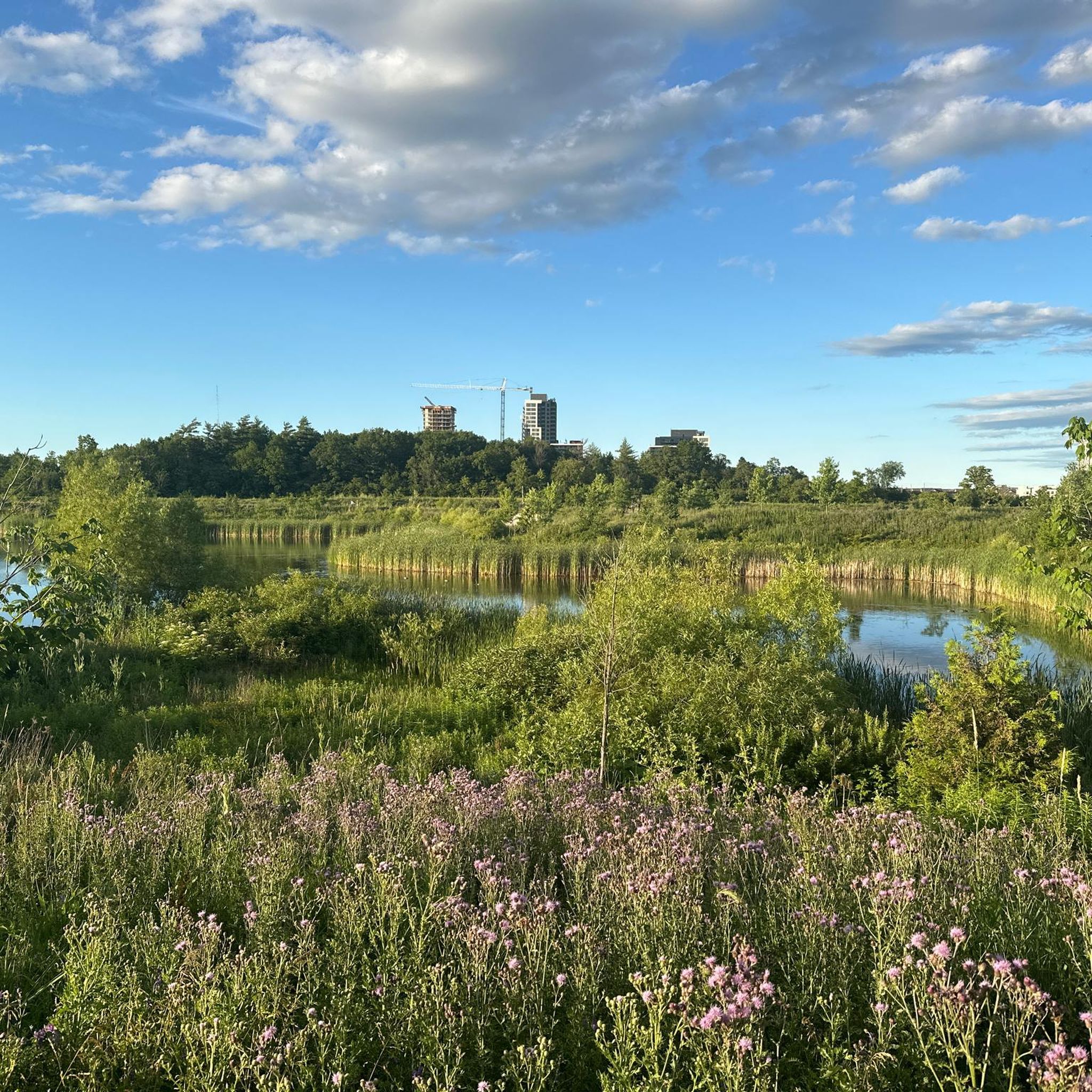
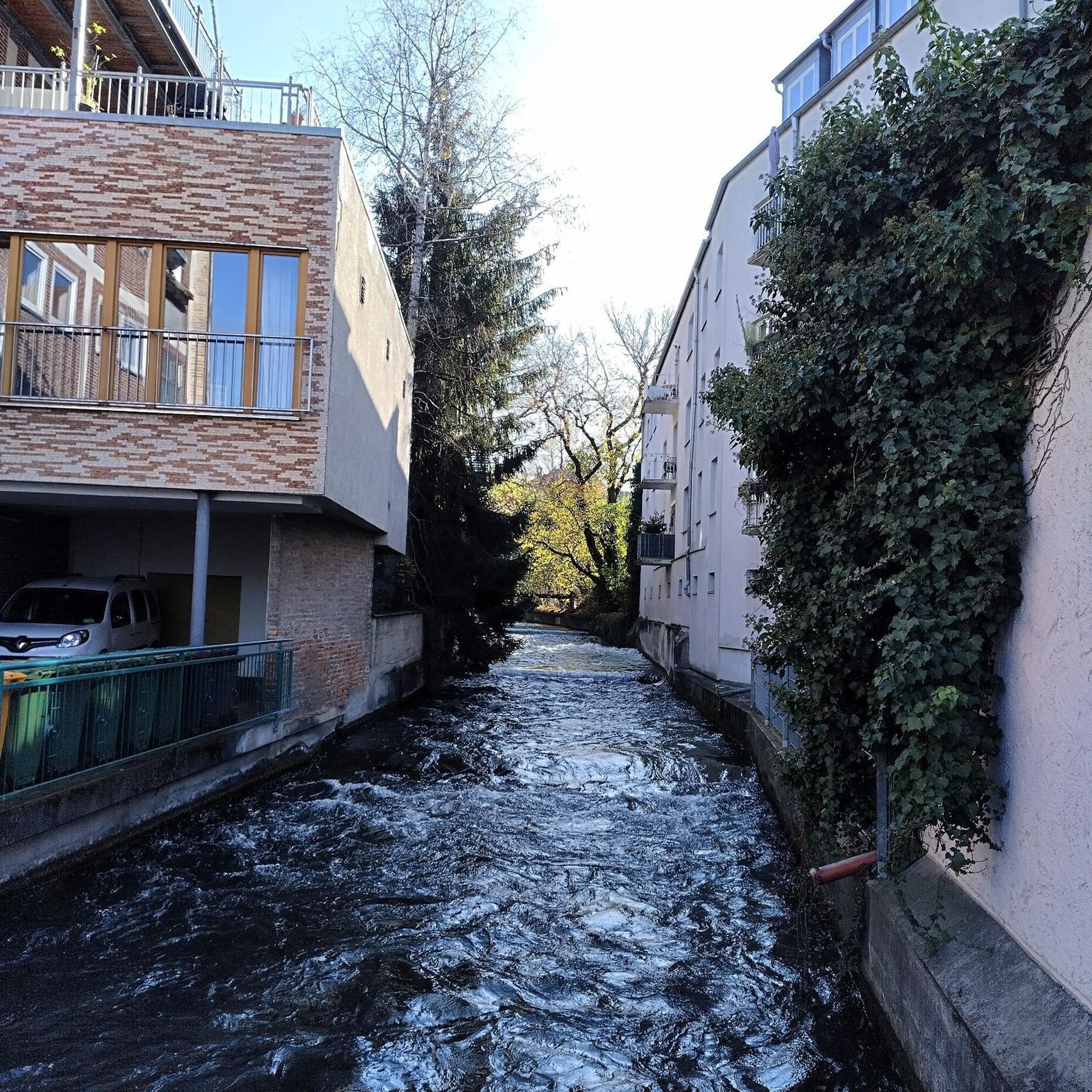
This small creek flows through a quiet green corridor on its way to Lake Ontario. A network of boardwalks, bridges, and paved paths runs alongside it, and while not remote, wildlife like foxes, rabbits, and various birds are often spotted here, sometimes even a snapping turtle. The mix of wetlands, shaded forest, and open edges supports a surprisingly diverse habitat for an urban creek.
0
0
Frequently Asked Questions
What kind of terrain can I expect on road cycling routes in Oakville?
Oakville offers a diverse range of terrain for road cyclists. You'll find picturesque waterfront trails along Lake Ontario, such as sections of the Great Lakes Waterfront Trail, offering scenic views. Many routes also wind through creek systems like Sixteen Mile Creek and Joshua's Creek, providing paths through woodlands and ravines. While some routes are relatively flat, others, particularly those extending towards Burlington, feature rolling hills, adding variety to your ride. The town has invested in over 260 kilometers of on-road bike lanes and off-road paths, ensuring a mix of dedicated infrastructure and shared routes.
Are there any easy road cycling routes suitable for beginners in Oakville?
Yes, Oakville has several easy road cycling routes perfect for beginners or those looking for a relaxed ride. For example, the Lakeshore Drive – View of Lake Ontario loop from Chalmers Street is an easy 23.1 km route. Another accessible option is the Creek Path Woods Park – First Rest Stop loop from Oakville, which covers 27.5 km. These routes typically feature less elevation gain and are great for enjoying the scenery at a comfortable pace.
What are some scenic viewpoints or natural features to look out for along the routes?
Oakville's road cycling routes are rich with scenic beauty. Along the waterfront, you'll enjoy stunning views of Lake Ontario, especially on routes like the Lakeshore Drive – View of Lake Ontario loop from Proudfoot Bus Stop. The creek systems, such as Sixteen Mile Creek and Joshua's Creek, offer peaceful forested paths and opportunities for birdwatching. You might also encounter tranquil ponds like North Ridge Trail Pond. For specific highlights, consider visiting St. Lawrence Park Gazebo for waterfront vistas or exploring the natural beauty around Rattray Marsh Conservation Area.
Are there any long-distance road cycling routes available in Oakville?
For cyclists seeking longer distances, Oakville offers several routes that extend beyond 50 kilometers. The Rolling Hills – Beach at Burlington Waterfront loop from Bronte is a substantial 71.5 km ride. Other routes like the Lakeshore Drive – View of Lake Ontario loop from Proudfoot Bus Stop (57.3 km) and the Beach at Burlington Waterfront – Rolling Hills loop from Bronte (54.7 km) also provide excellent options for extended rides, often combining waterfront views with inland sections.
What do other road cyclists say about the routes in Oakville?
The road cycling routes in Oakville are highly regarded by the komoot community, with an average rating of 4.3 out of 5 stars from 11 reviews. Cyclists frequently praise the well-maintained paths, the beautiful waterfront scenery, and the variety of routes that cater to different skill levels. Many appreciate the extensive network of trails and the commitment to cycling infrastructure in the area.
Can I find loop road cycling trails in Oakville?
Yes, the majority of road cycling routes in Oakville are designed as loops, offering convenient starting and ending points. Examples include the Lakeshore Drive – View of Lake Ontario loop from Clarkson and the View of Lake Ontario – Lakeshore Drive loop from Winston Churchill Blvd At Deer Run. These circular routes allow you to experience diverse landscapes without retracing your path, making for a more engaging ride.
Are there any historical sites or cultural attractions near the cycling routes?
While cycling, you can explore several historical and cultural points of interest. The Bradley Museum and Farm offers a glimpse into local history. Oakville's harbours, such as Bronte Harbour and Oakville Harbour, are also scenic spots with historical significance. Many routes pass through or near parks like Tannery Park and Lakeside Park, which often have their own local history.
What is the best time of year for road cycling in Oakville?
The best time for road cycling in Oakville is typically from spring through fall (April to October). During these months, the weather is generally mild and pleasant, with less precipitation. Spring brings blooming flowers, while fall offers vibrant foliage, especially along the creek systems and wooded areas. Summer is also popular, but be prepared for warmer temperatures and potential humidity. Winter cycling is possible but requires appropriate gear due to colder temperatures and potential snow or ice.
Are there family-friendly road cycling options in Oakville?
Oakville is very family-friendly for cyclists, with many trails suitable for all ages. The town's extensive network includes multi-purpose trails and dedicated bike lanes that are safer for families. Routes with less elevation and away from heavy traffic, such as sections of the Great Lakes Waterfront Trail or paths within Bronte Creek Provincial Park, are ideal. The Lakeshore Drive – View of Lake Ontario loop from Winston Churchill Blvd At Deer Run (25.8 km) offers a moderate but manageable distance for active families.
Where can I find parking for road cycling routes in Oakville?
Many of Oakville's parks and trailheads offer parking facilities. For routes along the waterfront, you can often find parking near public parks like Coronation Park or Lakeside Park. If you're starting a route further inland, such as the Joshua’s Creek Trail – Joshua Creek loop from Dundas Street West at Vega Boulevard, look for parking in nearby community centers or designated trail parking areas. Bronte Creek Provincial Park also provides ample parking for its trails. It's always a good idea to check local parking regulations before you go.
Can I access Oakville's cycling routes using public transport?
Yes, Oakville's cycling infrastructure is designed with accessibility in mind. Oakville Transit buses are equipped with bike racks, allowing you to combine public transport with your cycling adventures. This makes it convenient to reach various starting points for routes across the town, including those along the waterfront or near major trail systems. Check the Oakville Transit website for specific routes and schedules.
Are there any places to stop for coffee or food along the road cycling routes?
Oakville's urban and suburban routes often pass through areas with cafes, restaurants, and shops, providing plenty of opportunities for refreshment. Along Lakeshore Drive and near the harbours (Bronte and Oakville), you'll find numerous establishments. Routes that venture into town centers or near commercial areas will offer more options for coffee stops or meals. Planning your route with komoot allows you to identify points of interest, including cafes, along your chosen path.
Most popular routes around Oakville
Most popular attractions around Oakville

Get inspired with the komoot mobile app


Explore more
Browse the best Road cycling routes in other regions.
