The best walks and hikes around Oro-Medonte
4.8
(13)
195
hikers
36
hikes
Hiking around Oro-Medonte offers diverse terrain characterized by picturesque rolling hills, sprawling forests, and tranquil lakes in Central Ontario. The region features extensive woodlands, including the 4,400-acre Copeland Forest and numerous Simcoe County Forest tracts. Trails often follow former railway lines, such as the Oro-Medonte Rail Trail, or traverse natural wetlands and valleys. This varied landscape provides a range of natural features for outdoor activities.
Best hiking trails around Oro-Medonte
- The most popular hiking route is Scout Valley - Ganaraska Trail Loop, a 3.6 miles (5.7 km) trail that takes 1 hour 33 minutes to complete. This easy route explores woodlands within Scout Valley, offering views of the surrounding natural areas.
- Another top favourite among local hikers is North Shore Trail: Johnson's Beach Park to Centennial Park, an easy 4.4 miles (7.1 km) path. This trail follows the shoreline, connecting two parks with minimal elevation gain.
- Local hikers also love the Tudhope Park loop from Atherley, a 2.4 miles (3.9 km) trail leading through parkland, often completed in about 59 minutes.
- Hiking around Oro-Medonte is defined by rolling hills, extensive forest canopies, and tranquil lakefront paths. The network offers options for different ability levels, from easy loops to moderate trails.
- The routes in Oro-Medonte are highly rated by the komoot community with an average score of 4.8 stars from 4 reviews. More than 100 visitors have used komoot to explore Oro-Medonte's varied terrain.
Last updated: August 19, 2026
4.5
(2)
10
hikers
5.73km
01:34
90m
90m
Easy hike. Great for any fitness level. Easily-accessible paths. Suitable for all skill levels.
6
hikers
7.12km
01:49
20m
20m
Easy hike. Great for any fitness level. Easily-accessible paths. Suitable for all skill levels.

Sign up for free
4
hikers
6.79km
01:45
30m
30m
Easy hike. Great for any fitness level. Easily-accessible paths. Suitable for all skill levels.
3
hikers
7.88km
02:02
50m
50m
Moderate hike. Good fitness required. Easily-accessible paths. Suitable for all skill levels.
2
hikers
9.19km
02:27
100m
100m
Moderate hike. Good fitness required. Easily-accessible paths. Suitable for all skill levels.
Get access to more routes and recommendations from other explorers.
Sign up for free
Already have an account?
Our route recommendations are based on thousands of hikes, rides, and runs completed by other people on komoot.
Start today with a free account
Your next adventure awaits.
Login or Signup

Tips from the Community

Breedon Tract Black & Red Trails follows the outer boundaries of the Breedon Tract. For mountain bikers, this section of trail has tight corners, flowy berms, and punchy short climbs and descents. The other trail on the track is Breedon Tract Red, and is the more internal part of the trail. The red and black trails are not separate, but different ends of the same trail seamlessly transition into the other.
0
0
Breedon Tract is open to hiking, mountain biking, and snowshoeing. It's not a very busy area, so you will likely find peace and solitude here. Dogs are welcome as long as they on a leash. The trails here wind through a canopy of managed pine plantations and native northern hardwoods, creating a lot of shade.
0
0
The main parking area for the Breedon Tract is located on Line 9 North in Oro-Medonte, just north of Old Barrie Road East. It's a small dirt parking lot with no water fountains or restrooms, so come prepared. There is a general store to the north, about 10 minutes' drive away, that sells snacks and water.
0
0

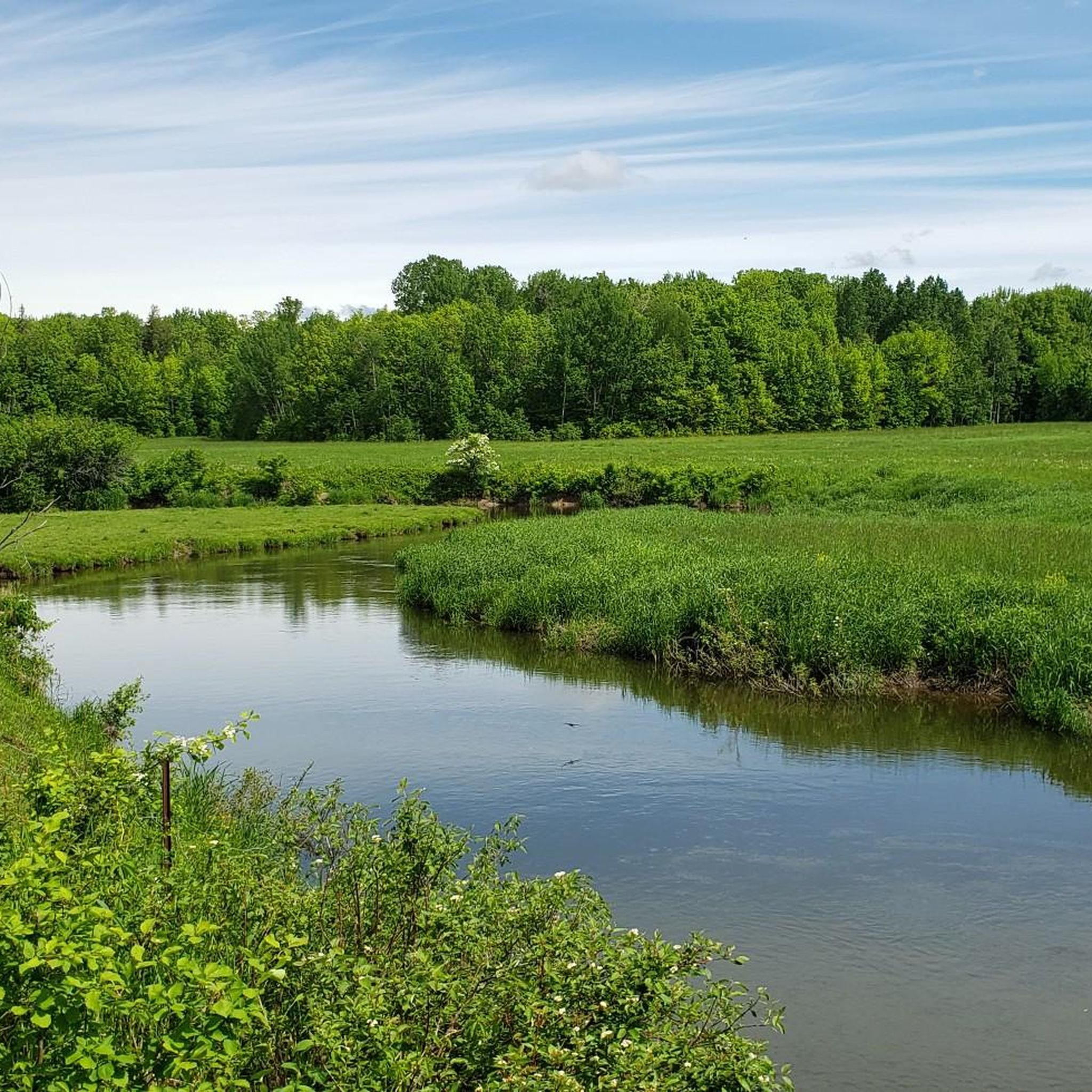
This wetland in Copeland Forest provides an important contrast to the surrounding upland forest. Open water, marsh vegetation, and seasonally flooded areas create valuable habitat for birds, amphibians, turtles, and countless insects. The quieter pace of the wetland makes it one of the best places in Copeland Forest to pause and look for wildlife, particularly during spring and early summer when activity is at its peak.
0
0
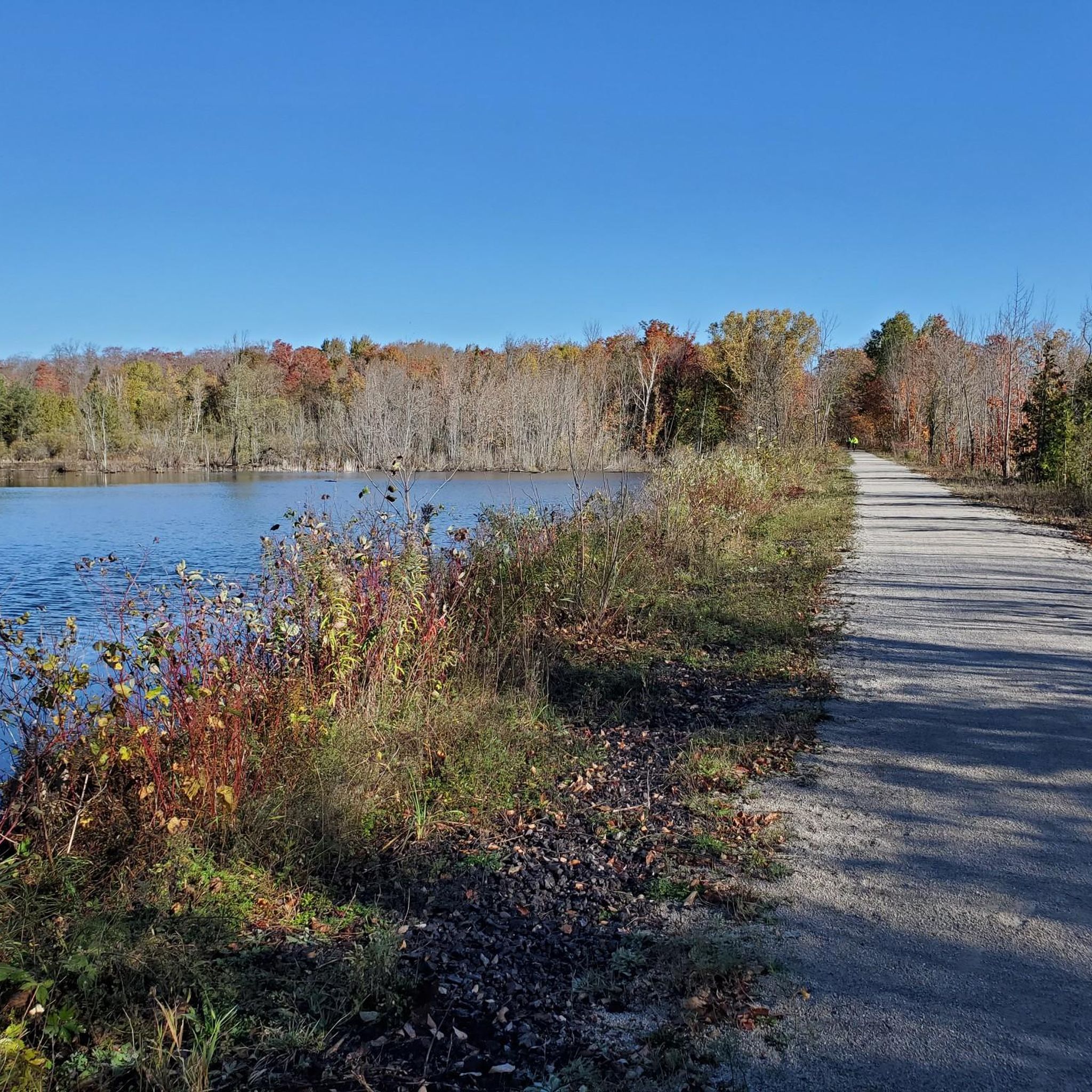
The trail in Copeland Forest passes through one of the most varied sections of the area, linking drier forest terrain with low-lying wetland habitat. The route is mostly level and easy to follow, making it a pleasant walk through a landscape shaped by both natural wetlands and the area's historic transportation routes.
0
0
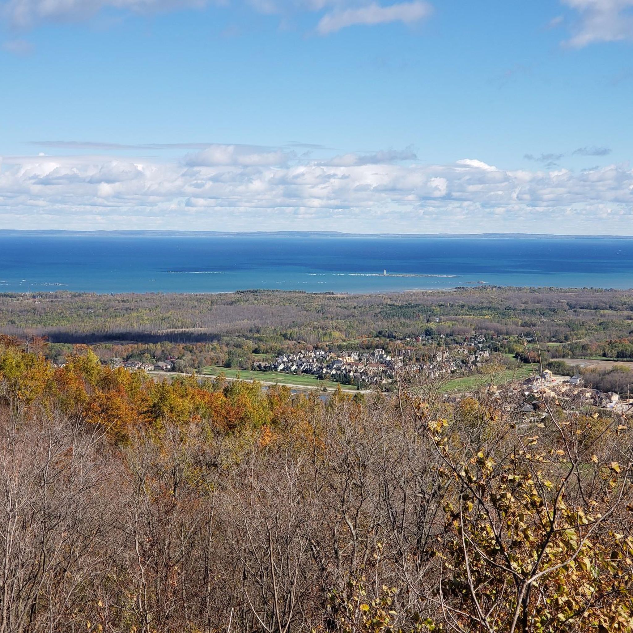
Covering more than 1,700 hectares between Barrie and Orillia, Copeland Forest is one of the largest publicly accessible forests in Simcoe County. The forest protects a diverse landscape of pine plantations, hardwood stands, wetlands, rolling hills, and wildlife habitat, all connected by an extensive network of multi-use trails. Despite its popularity with hikers, cyclists, and horseback riders, many sections feel surprisingly remote once you're away from the main access points.
0
0

The hills aren't as continuous on this trail as for some other parts of the Creeks loop. Keep an eye (and ear) out for mountain bikes that often travel in either direction here.
0
0
This is the western edge of the Creeks Black Trail, almost 6km of rollicking, hilly singletrack traveled in a downhill (clockwise) direction. This is primarily a mountain biking trail, so watch out for quiet, fast-moving bikers.
0
0
Frequently Asked Questions
How many hiking trails are available in Oro-Medonte?
Oro-Medonte offers over 20 hiking trails, catering to various preferences. The region is known for its diverse landscapes, including extensive woodlands and tranquil lakefront paths.
What kind of terrain can I expect on hikes in Oro-Medonte?
You can expect a mix of picturesque rolling hills, sprawling forests, and tranquil lakefront paths. Trails often traverse extensive woodlands like the Copeland Forest and Simcoe County Forest tracts, or follow former railway lines such as the Oro-Medonte Rail Trail, which features a crushed gravel path through wetlands.
Are there any family-friendly hiking options in Oro-Medonte?
Yes, many trails in Oro-Medonte are suitable for families. For instance, the Scout Valley - Ganaraska Trail Loop is an easy 5.7 km route through woodlands. Another accessible option is the Tudhope Park loop from Atherley, a 3.9 km trail through parkland.
Can I bring my dog on the hiking trails in Oro-Medonte?
Many trails within the Simcoe County Forest tracts and the Oro-Medonte Rail Trail are generally dog-friendly, though it's always best to check specific trail regulations for leash requirements. These areas provide ample space for you and your canine companion to enjoy the outdoors.
Are there any circular hiking routes available?
Yes, Oro-Medonte features several circular routes. The Scout Valley - Ganaraska Trail Loop is a popular 5.7 km option, and the Hiking loop from Hidden Spring Farm offers a 4.5 km experience. These loops allow you to start and end at the same point, making for convenient outings.
What natural features or landmarks can I see while hiking?
While hiking in Oro-Medonte, you can explore diverse natural features. The Copeland Forest offers extensive woodlands, while the Oro-Medonte Rail Trail showcases active beaver ponds and osprey nests. Scout Valley provides views of Lake Simcoe and Lake Couchiching. You might also encounter highlights like the Sagebrush Trail within Scout Valley or enjoy views from Gov't Dock.
What is the best season for hiking in Oro-Medonte?
Oro-Medonte is a premier four-season destination. Spring and fall offer vibrant foliage and comfortable temperatures, while summer provides lush greenery. The region's varied terrain, including rolling hills and canopied forests, makes it enjoyable throughout the year.
Are there options for winter hiking in Oro-Medonte?
Yes, many trails in Oro-Medonte are suitable for winter hiking, snowshoeing, and cross-country skiing. Bass Lake Provincial Park, for example, offers a 2.8 km trail that can be enjoyed throughout the seasons. The extensive network of trails in areas like Copeland Forest also provides opportunities for winter exploration.
How can I access the trailheads, and is parking available?
Many trailheads in Oro-Medonte are easily accessible. Copeland Forest, for instance, has five designated parking lots and 22 access points. The Oro-Medonte Rail Trail also has various access points along its 28-kilometer length. Parking availability varies by specific trailhead, but many popular spots are well-equipped.
What do other hikers say about the trails in Oro-Medonte?
The trails in Oro-Medonte are highly rated by the komoot community, with an average score of 4.8 stars from numerous reviews. Hikers often praise the quiet woodlands, well-maintained paths, and the diverse scenery, from lakefront views to dense forests.
Are there any longer or more challenging trails for experienced hikers?
While many trails are easy to moderate, the extensive network of Simcoe County Forest tracts offers opportunities for longer hikes by combining different sections. The region's rolling hills provide some elevation gain, and trails like those in Copeland Forest can be linked for extended outings, though no routes are classified as 'difficult' in the immediate area.
What are some unique places to explore near the hiking trails?
Beyond the trails, you can explore places like Scales Nature Park, which features 21 hectares of wetlands and 4 km of trails for wildlife observation. For a relaxing experience after a hike, Vetta Nordic Spa in Horseshoe Valley offers a retreat surrounded by nature. You can also visit Johnson’s Beach Park or the historic Oro African Methodist Episcopal Church.
Are there any trails that offer views of Lake Simcoe or Lake Couchiching?
Yes, Scout Valley features trails like the Sagebrush Trail and Homestead Trail, which offer scenic views of both Lake Simcoe and Lake Couchiching as you traverse through its forests and wetlands. Additionally, the North Shore Trail follows the shoreline, providing continuous lake views.
Can I use public transport to reach hiking trails in Oro-Medonte?
While Oro-Medonte is primarily accessed by car, especially for reaching more remote trailheads, some trails might be accessible via local transit options connecting to nearby towns like Barrie or Orillia. For example, the Oro-Medonte Rail Trail connects to the Waterfront Trail in Orillia, which may have public transport links. It's advisable to check local transit schedules for specific routes.
Most popular attractions around Oro-Medonte

Get inspired with the komoot mobile app


Explore more
Browse the best Hikes in other regions.
