The best walks and hikes around Milton
4.7
(249)
2,211
hikers
41
hikes
Hiking around Milton offers diverse landscapes along the Niagara Escarpment, characterized by varied terrain, rock fissures, and sweeping scenic views. The region features a mix of forests, wetlands, and fields, providing a range of natural environments for outdoor exploration. Lush forests and prominent lookout points are common, especially within its numerous conservation areas.
Best hiking trails around Milton
- The most popular hiking route is Rattlesnake Point and Crawford Lake — Rattlesnake Point Conservation Area, a 6.6 miles (10.7 km) trail that takes 2 hours 55 minutes to complete. This moderate route leads through conservation areas with varied terrain and scenic views.
- Another top favourite among local hikers is Nassagaweya Canyon via Bruce Trail loop, a moderate 5.6 miles (9.0 km) path. This trail explores the Nassagaweya Canyon and connects to the extensive Bruce Trail network.
- Local hikers also love the Robert Edmondson Conservation Area loop — Milton, a 1.2 miles (1.9 km) trail leading through a conservation area, often completed in about 29 minutes.
- Hiking around Milton is defined by the Niagara Escarpment, lush forests, and diverse conservation areas, offering options for different ability levels.
- The routes in Milton are highly rated by the komoot community with an average score of 4.9 stars from over 140 reviews. More than 1200 hikers have used komoot to explore Milton's varied terrain.
Last updated: October 10, 2026
4.7
(11)
141
hikers
10.7km
02:56
160m
160m
Moderate hike. Good fitness required. Easily-accessible paths. Suitable for all skill levels.
5.0
(10)
63
hikers
8.96km
02:27
130m
130m
Moderate hike. Good fitness required. Easily-accessible paths. Suitable for all skill levels.

5
hikers
5.62km
01:28
30m
30m
Easy hike. Great for any fitness level. Easily-accessible paths. Suitable for all skill levels.
4.51km
01:09
20m
20m
Easy hike. Great for any fitness level. Easily-accessible paths. Suitable for all skill levels.
1.94km
00:32
30m
30m
Easy hike. Great for any fitness level. Easily-accessible paths. Suitable for all skill levels.
Get access to more routes and recommendations from other explorers.
Already have an account?
Our route recommendations are based on thousands of hikes, rides, and runs completed by other people on komoot.
Start today with a free account
Your next adventure awaits.
Tips from the Community

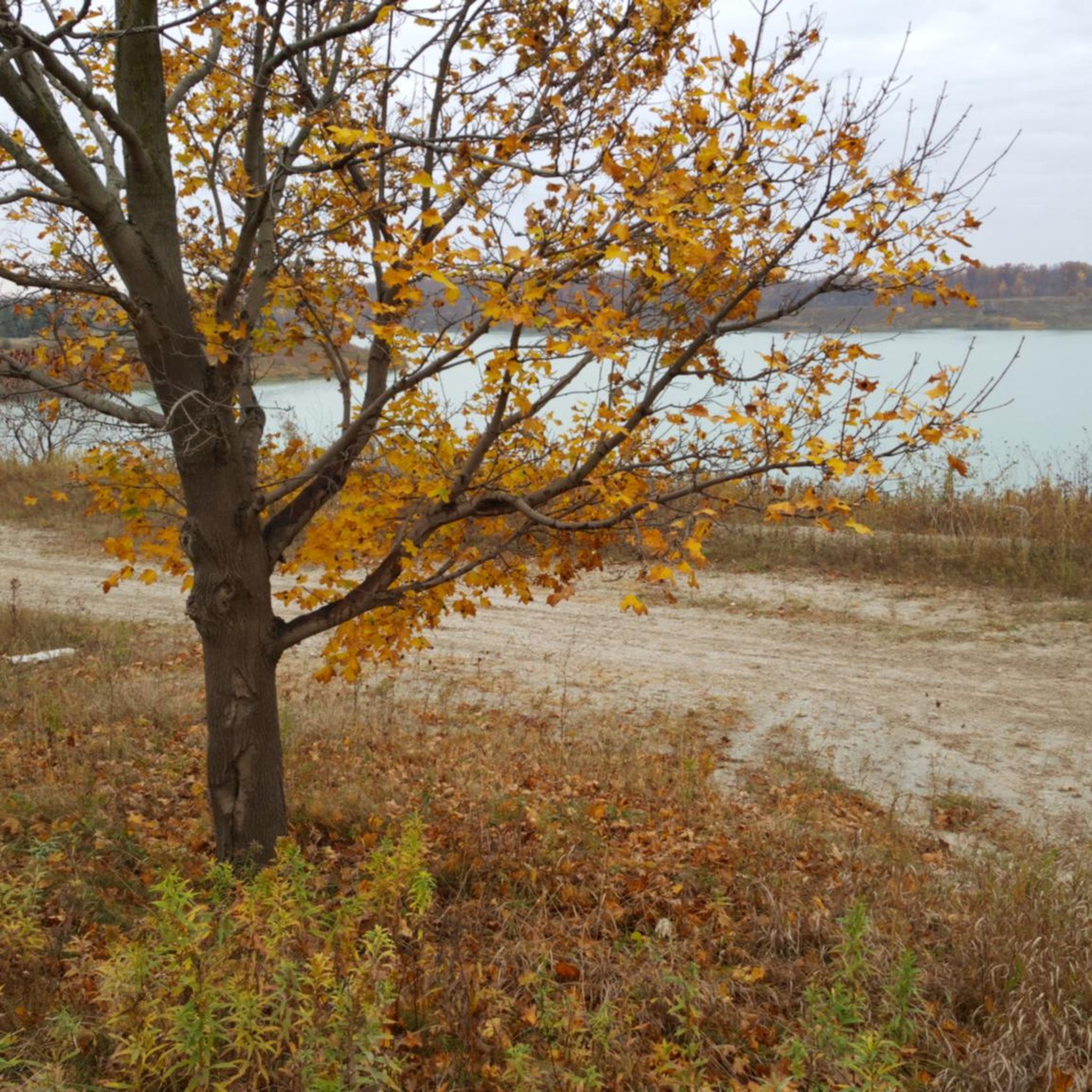
Crawford Lake is much more unusual than it first appears. Its upper and lower waters never fully mix, making it a rare meromictic lake, and the yearly sediment layers on the bottom preserve an incredibly detailed environmental record. A newly rebuilt boardwalk now circles the shoreline, with interpretive signs explaining the lake’s ecology, scientific importance and Indigenous history.
0
0

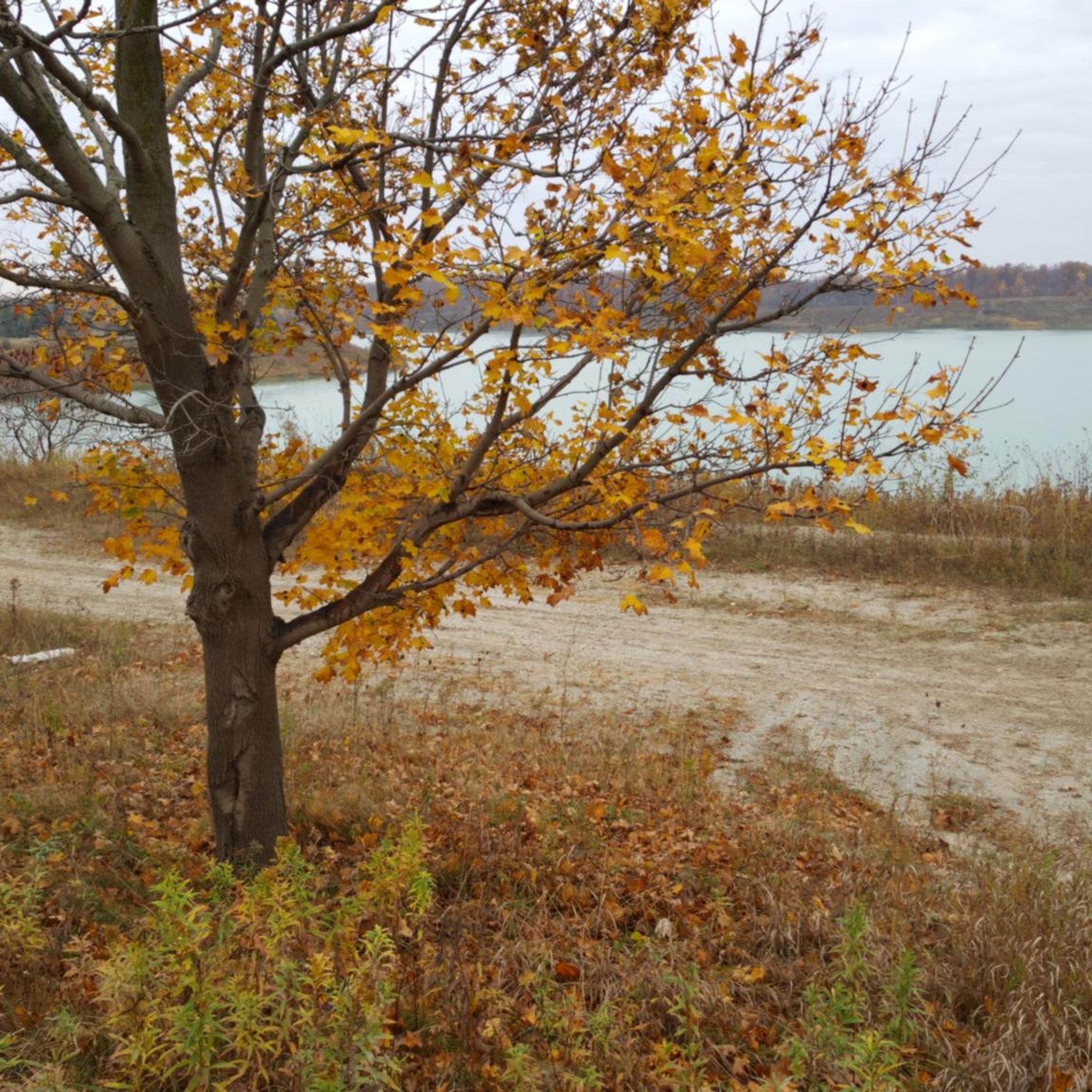
The Beaver Dam Trail is a loop trail in the Hilton Falls Conservation Area. The quickest access to the trail is from the north on Sixth Lane Nassagaweya; parking is available at the Halton Region Forest 6th Line Parking (South). The hike follows forest paths and boardwalks through the headwaters of Sixteen Mile Creek, featuring several wetlands and streams. While the hiking distance from the north is five kilometers, the distance from the visitor centre to the south is eight kilometers. (Visited June 17, 2026)
0
0
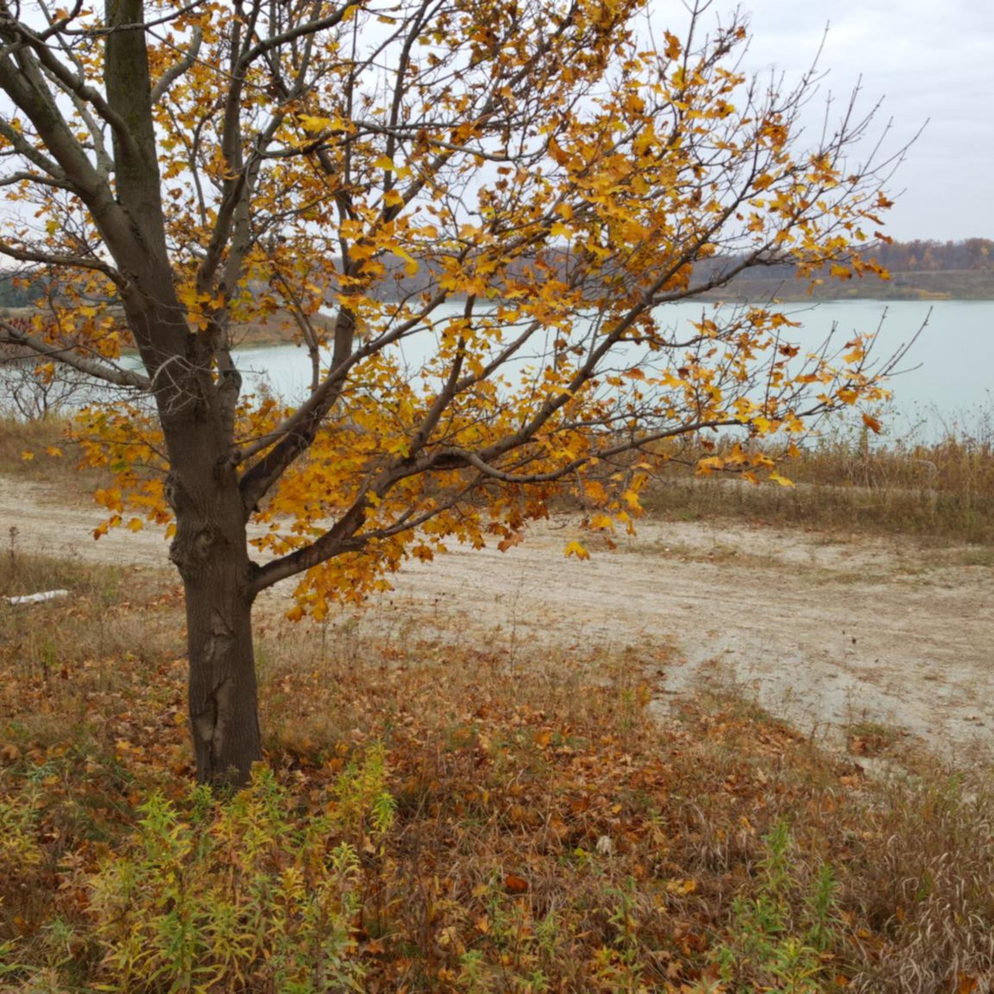
Following the edge of the Niagara Escarpment, the Vista Adventure Trail delivers some of the best views in the conservation area. Lookouts along the cliff edge reveal sweeping views across forests, farmland, and communities stretching towards Lake Ontario. The trail passes weathered limestone outcrops and cliffside cedar trees that have managed to survive in the thin escarpment soils for centuries. The route is mostly level but stays close to exposed edges in places, so take care near the viewpoints.
0
0

Covering 645-hectares of the Niagara Escarpment, Hilton Falls Conservation Area seamlessly blends industrial history with rugged geography. With over 30 kilometers of multi-use trails, including a scenic stretch of the Bruce Trail, the area provides a year-round destination for everything from summer hiking and mountain biking to winter fat biking and XC skiing.
0
0
The Beaver Dam Trail offers a relaxing loop through Hilton Falls Conservation Area. This 5-kilometer trail winds around forests and wetlands and by active beaver ponds. You'll cross over several wooden bridges and the path leads to other trails in the area should you want to extend your excursion.
0
0
The Bruce Trail is Ontario's oldest and longest walking path at over 900 kilometres. If that's not enough there are also a number of "side trails" that take you to scenic lookouts, landmarks, or separate loops that are not part of the main Bruce Trail.
0
0
The Hilton Falls Side Trail is an off shoot of the main Bruce Trail. The trail passes through forested sections and some high grasses. In summer you'll want to bring bug spray and be sure to check for ticks after your hike.
0
0

As you step out onto the escarpment’s edge, the limestone cliffs open into a sweeping view of valleys and farmland below. From here, you can watch for eagles soaring over your head or simply take in the wide panorama stretching toward the ridge tops. It's the perfect place to pause and absorb the beautiful landscape before continuing on the trail.
1
0
Frequently Asked Questions
How many hiking trails are available around Milton?
Milton offers a diverse network of over 40 hiking trails, catering to various preferences and skill levels. These routes explore the unique landscapes shaped by the Niagara Escarpment, including dense woodlands, conservation areas, and scenic viewpoints.
Are there hiking trails for all skill levels in Milton?
Yes, Milton provides a wide range of trails suitable for different abilities. You'll find over 20 easy routes perfect for a leisurely stroll, around 18 moderate trails for those seeking a bit more challenge, and a few difficult options for experienced hikers looking for a strenuous workout. The varied terrain of the Niagara Escarpment ensures there's something for everyone.
Can I find waterfalls on hikes near Milton?
Absolutely! Hilton Falls Conservation Area is a prime destination for waterfall enthusiasts. The Hilton Falls Side Trail loop is an easy route that leads directly to the picturesque Hilton Falls. This area also features unique geological formations and the ruins of a 19th-century mill.
Are there any family-friendly hiking options in Milton?
Many trails in Milton are suitable for families. Crawford Lake Conservation Area, for instance, offers an accessible boardwalk around its rare meromictic lake and features a reconstructed 15th-century Iroquoian Village, providing both natural beauty and historical context. The Robert Edmondson Conservation Area loop is another easy, shorter option perfect for a family outing.
What kind of natural features and landmarks can I expect to see on Milton's trails?
Milton's trails are rich with natural beauty and interesting landmarks. You can explore the dramatic cliffs and lookout points of the Niagara Escarpment, discover the unique meromictic Crawford Lake, and witness the stunning Hilton Falls. Many routes also pass through dense woodlands, offering opportunities for wildlife spotting and enjoying the region's diverse flora.
Are there any circular hiking routes available?
Yes, Milton offers several excellent circular routes. A popular choice is the Nassagaweya Canyon via Bruce Trail loop, which provides a moderate challenge and explores the scenic canyon while connecting to the extensive Bruce Trail network. Another option is the Wooden Bridge and Boardwalk – View of Rattlesnake Point loop from Crawford Lake Conservation Area, offering diverse scenery.
What do other hikers enjoy the most about hiking in Milton?
The hiking experience in Milton is highly rated by the komoot community, with an average score of 4.9 stars from over 140 reviews. Hikers frequently praise the region's diverse landscapes, the well-maintained trails within the conservation areas, and the stunning views from the Niagara Escarpment. The variety of routes, from easy strolls to more challenging climbs, is also a common highlight.
Can I bring my dog on the hiking trails in Milton?
Many conservation areas and trails in Milton are dog-friendly, but it's always best to check the specific rules of each park before your visit. Generally, dogs are welcome on leash. Areas like Rattlesnake Point and Hilton Falls Conservation Areas often permit dogs, allowing your furry friend to join you on your outdoor adventures.
Are there challenging hiking trails for experienced hikers?
For those seeking a more strenuous hike, Milton offers several challenging options, particularly within the Conservation Halton parks along the Niagara Escarpment. While specific 'difficult' routes are fewer, trails like those found at Rattlesnake Point Conservation Area, which include steep ascents and varied terrain, can provide a good workout. The Bruce Trail sections also offer opportunities for longer, more demanding treks.
What are the parking and public transport options for accessing Milton's hiking trails?
Most conservation areas in Milton, such as Rattlesnake Point, Hilton Falls, and Crawford Lake, offer dedicated parking facilities, though fees or reservations may be required. Public transport access to the trailheads can be limited, so driving is often the most convenient option. It's advisable to check the specific conservation area's website for the latest information on parking and access.
What is the best time of year to go hiking in Milton?
Milton offers excellent hiking opportunities throughout the year. Spring brings lush greenery and blooming wildflowers, while autumn showcases spectacular fall foliage along the Escarpment. Summer is ideal for enjoying shaded forest trails, and even winter offers unique experiences with snow-covered landscapes, though some trails may require appropriate gear or be less accessible. Each season provides a distinct and beautiful hiking experience.
Most popular attractions around Milton

Get inspired with the komoot mobile app


Explore more
Browse the best Hikes in other regions.
