The best road cycling routes around Sturgeon County
4.7
(3)
221
riders
17
rides
Road cycling around Sturgeon County, Alberta, features diverse landscapes suitable for various skill levels. The region is characterized by high, flat plains, broad ravines, and small river valleys, offering varied terrain for cyclists. Mixedwood forests and wetlands are present, alongside the prominent Sturgeon River, which provides scenic routes. The area's topography includes gentle elevation changes, making it accessible for different road cycling experiences.
Best road cycling routes around Sturgeon County
- The most popular road cycling route is Walterdale Bridge – Tawatina Bridge loop from Dovercourt, a 19.8 miles (31.9 km) trail that takes 1 hour 35 minutes to complete. This moderate route includes a total elevation gain of 219 meters.
- Another top favourite among local road cyclists is Hermitage Park – Hermitage Park Trail loop from Horse Hill, a moderate 28.0 miles (45.1 km) path. This route offers varied terrain with 327 meters of elevation gain, passing through natural areas.
- Local road cyclists also love the Roadbike loop from Metro Line, a 26.7 miles (42.9 km) trail leading through the local landscape, often completed in about 1 hour 45 minutes.
- Road cycling around Sturgeon County is defined by high plains, river valleys, and mixedwood forests. The network offers options for different ability levels, from easy rides to more moderate challenges.
- The routes in Sturgeon County are highly rated by the komoot community with an average score of 4.8 stars from over 4 reviews. More than 200 road cyclists have used komoot to explore Sturgeon County's varied terrain.
Last updated: June 27, 2026
33
riders
29.6km
01:26
190m
190m
Easy road ride. Great for any fitness level. Mostly well-paved surfaces and easy to ride.
31
riders
42.8km
02:02
310m
310m
Moderate road ride. Good fitness required. Some segments of this route may be unpaved and difficult to ride.

Sign up for free
17
riders
42.9km
01:46
180m
180m
Moderate road ride. Great for any fitness level. Some segments of this route may be unpaved and difficult to ride.
30
riders
36.3km
02:22
260m
260m
Moderate road ride. Good fitness required. Some segments of this route may be unpaved and difficult to ride.
6
riders
53.1km
02:09
190m
190m
Moderate road ride. Good fitness required. Some segments of this route may be unpaved and difficult to ride.
4
riders
Easy road ride. Great for any fitness level. Mostly well-paved surfaces and easy to ride.
4.0
(1)
7
riders
Easy road ride. Great for any fitness level. Mostly well-paved surfaces and easy to ride.
2
riders
51.0km
01:57
100m
100m
Easy road ride. Great for any fitness level. Mostly well-paved surfaces and easy to ride.
2
riders
33.6km
01:21
70m
70m
Easy road ride. Great for any fitness level. Mostly well-paved surfaces and easy to ride.
3
riders
38.7km
01:46
120m
120m
Easy road ride. Great for any fitness level. Mostly well-paved surfaces and easy to ride.
Get access to more routes and recommendations from other explorers.
Sign up for free
Already have an account?
Our route recommendations are based on thousands of hikes, rides, and runs completed by other people on komoot.
Start today with a free account
Your next adventure awaits.
Login or Signup
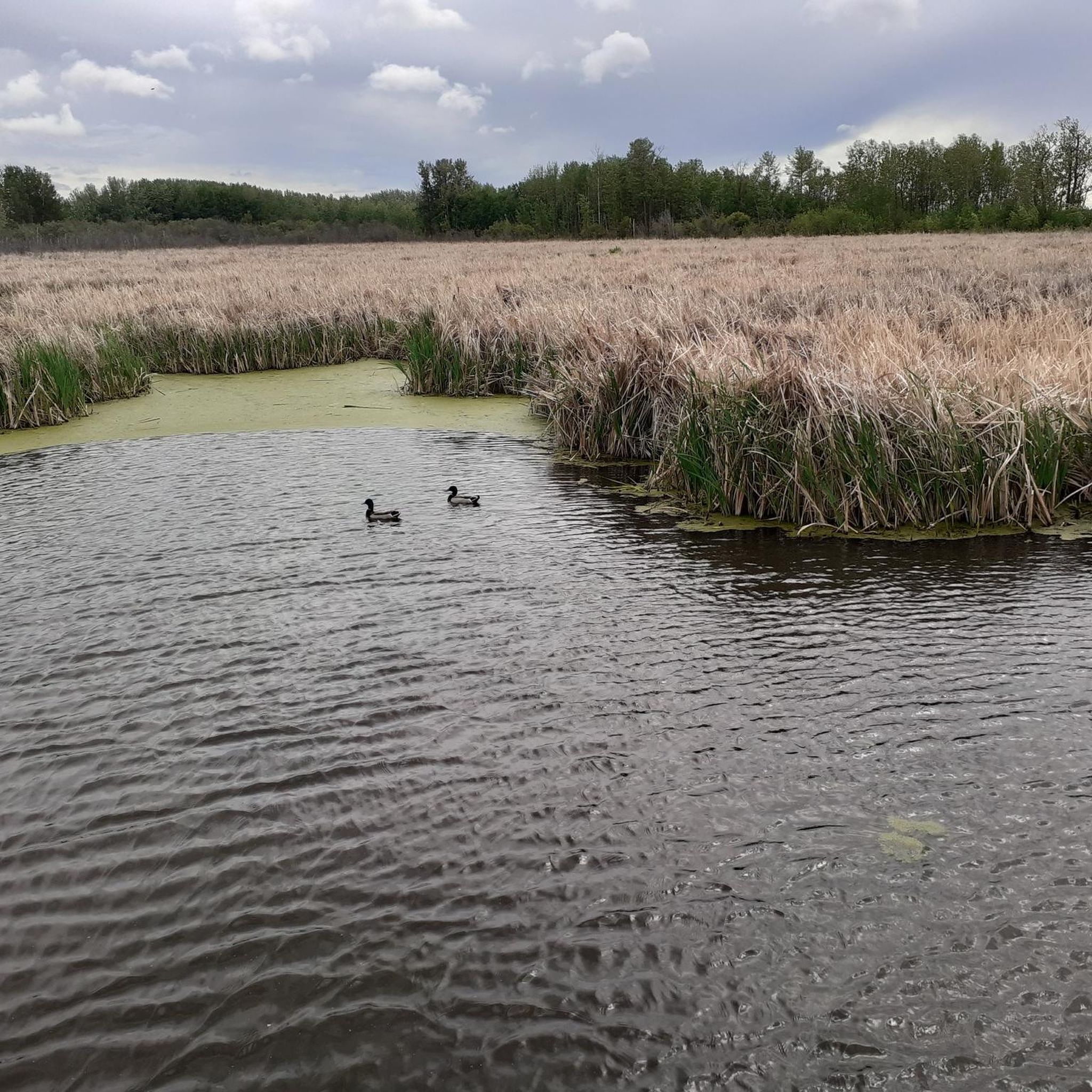
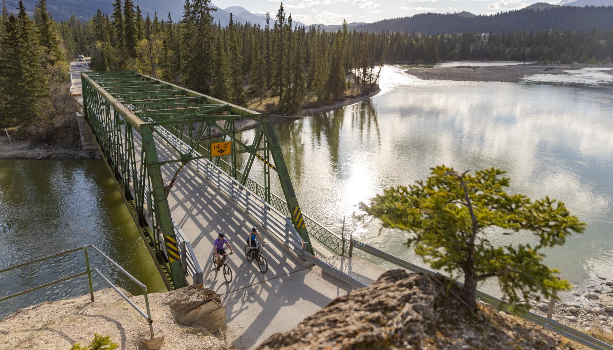
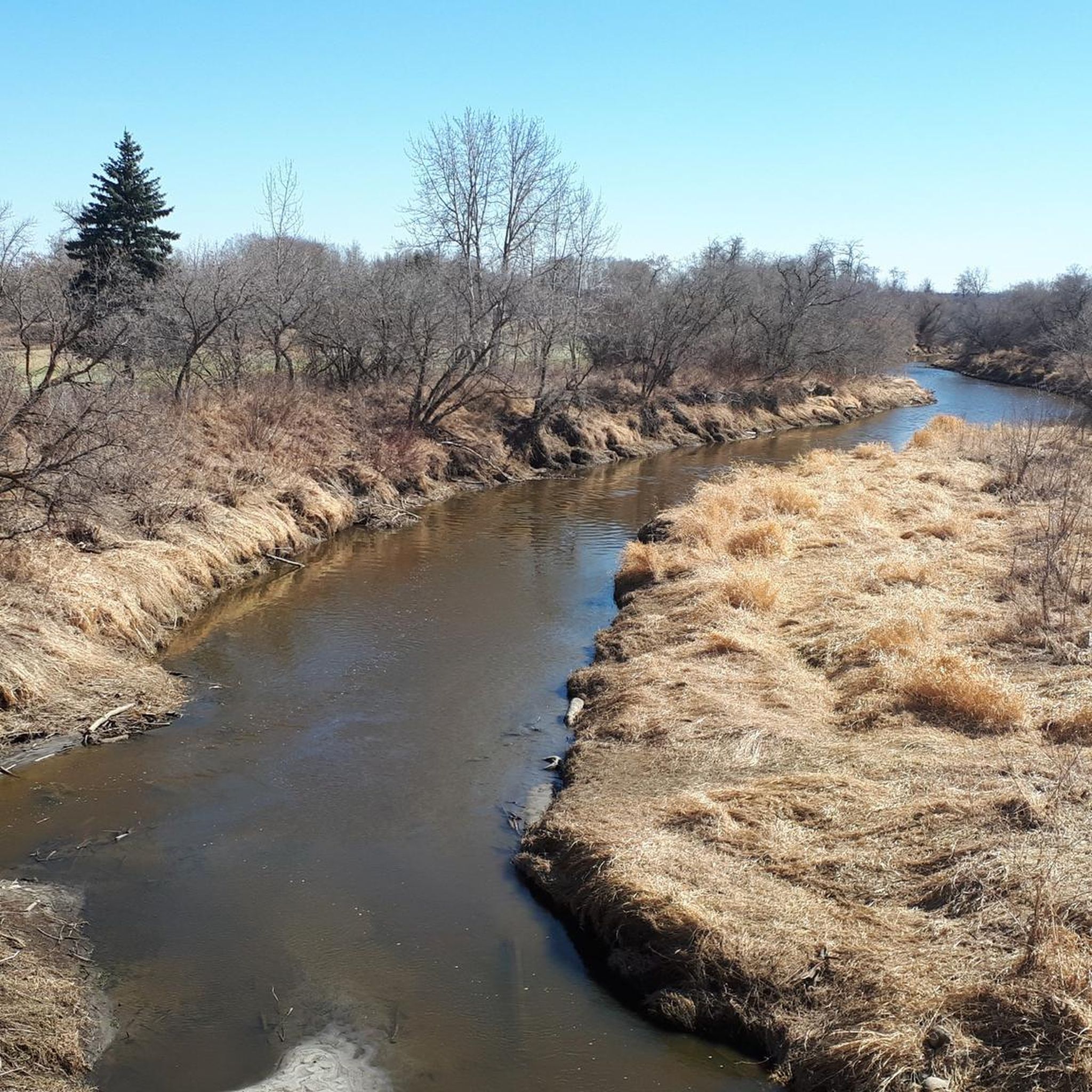
Other adventures around Sturgeon County

Tips from the Community

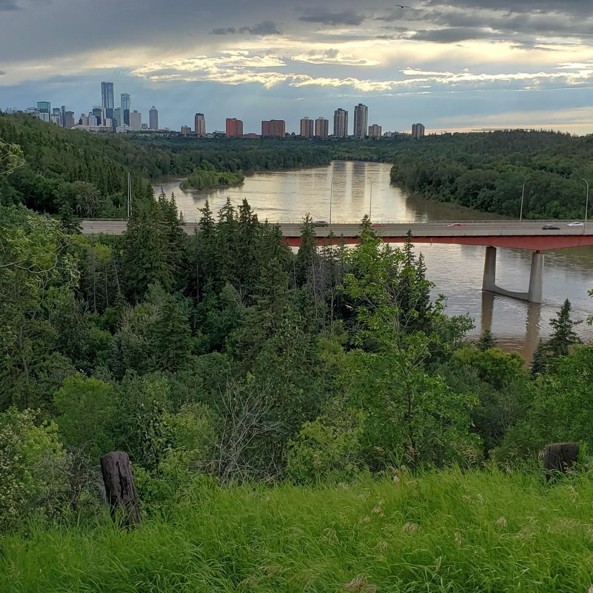
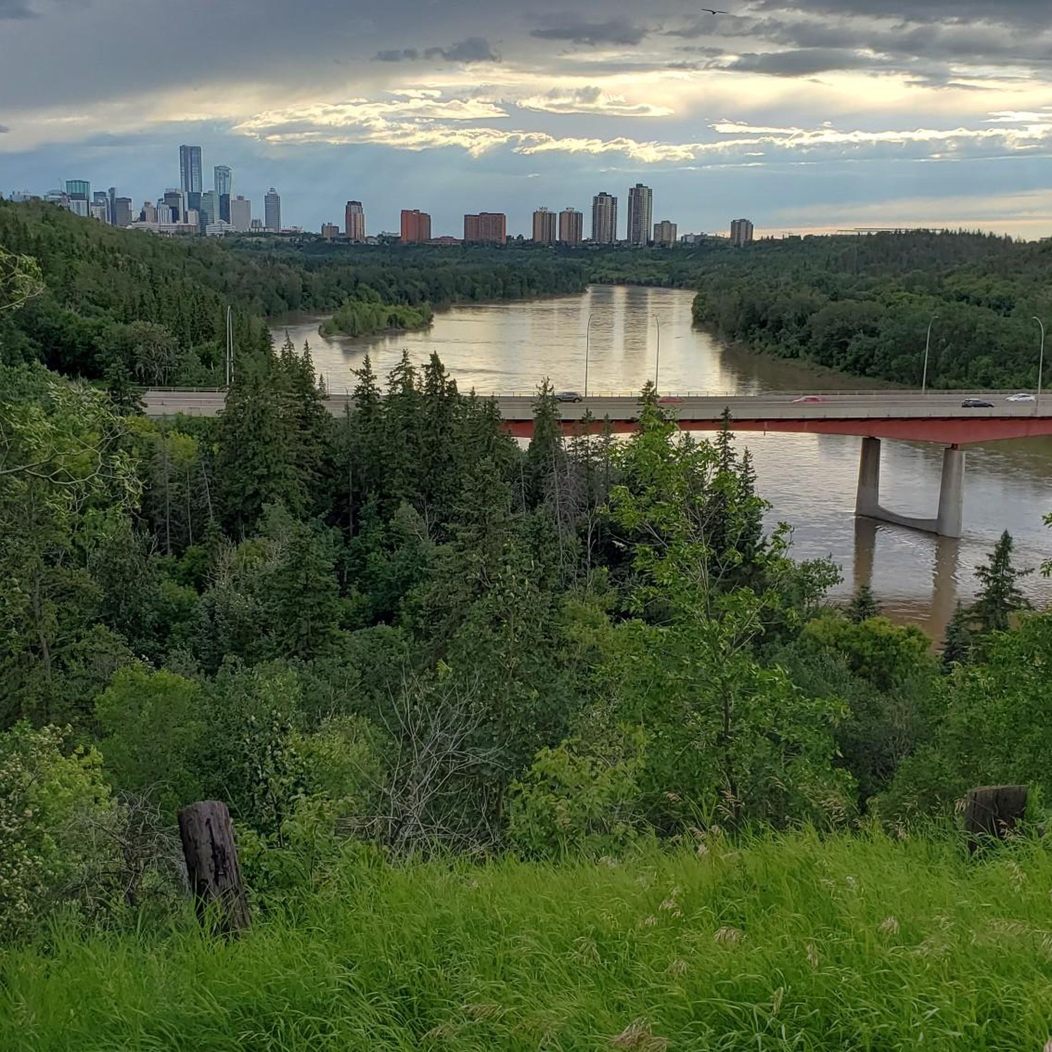
Flowing for more than 1,200 kilometres from the Columbia Icefield in the Canadian Rockies to central Saskatchewan, the North Saskatchewan River has shaped Edmonton's landscape for thousands of years. Here, the river winds through a broad valley lined with forests, and parkland, creating one of the largest urban river valley systems in North America. The constantly changing water levels, sandbars, and riverside habitat support a wide variety of wildlife and make the river the defining feature of this part of the city.
0
0

Nice park in central St. Albert. Next to the Sturgeon River, with lots of places to sit and enjoy the scenery.
0
0

Millennium Park is a relatively small riverside green space in downtown St. Albert, set along the Sturgeon River and connected to the city’s extensive trail network. There are open lawns with benches and picnic tables nestled under mature trees, river views, easy access to nearby shops and restaurants, and a hub for community events and seasonal gatherings. It's an ideal spot for a waterfront picnic and a great place to relax under the trees.
0
0
The reason why one of Edmonton's nicknames is River City.
0
0
Nice park with amenities at the ACT Centre. The paths can be quite busy, since it is a popular park.
0
0
Nice park to ride through. Just need to keep an eye out for dogs, since there is an off-leash area here.
0
0
A nice ride through this park. You just have to keep your eyes peeled for dogs, since it is an off-leash area.
0
0
Frequently Asked Questions
How many road cycling routes are available in Sturgeon County?
Sturgeon County offers a diverse selection of road cycling routes, with over 18 routes available on komoot. These routes cater to various preferences, including 10 easy and 8 moderate options.
What kind of terrain can I expect on road cycling routes in Sturgeon County?
The region is characterized by high, flat plains, broad ravines, and small river valleys, providing varied terrain for cyclists. You'll encounter mixedwood forests and wetlands, with many routes following the picturesque Sturgeon River. The topography generally includes gentle elevation changes, making it accessible for different road cycling experiences.
What is the best time of year to go road cycling in Sturgeon County?
The best time for road cycling in Sturgeon County is typically during the warmer months, from spring through fall, when trails are clear and weather conditions are favorable. The region's natural beauty, including its forests and river valleys, is particularly enjoyable during these seasons.
Are there family-friendly road cycling routes in Sturgeon County?
Yes, Sturgeon County offers several family-friendly road cycling options, particularly within its developing trail networks. The Lacombe Park Lake loop from Lacombe Park is an easy route, and the Peggy Holmes Park – St. Albert Botanic Park loop is another easy option suitable for families. The Sturgeon Valley Trails System, including the Bellerose River Walk and Sturgeon River Trail, also provides paved paths separated from vehicle traffic, ideal for a comfortable family ride.
What natural features or attractions can I see along road cycling routes in Sturgeon County?
Road cycling routes in Sturgeon County often feature scenic views of the Sturgeon River and pass through mixedwood forests and wetlands. You might encounter highlights like the Highway 15 Footbridge, the St. Albert Botanic Park, and the Sturgeon River Trail. The region also boasts areas like Sandy Lake Wilderness Area and Boisvert's Greenwoods, known for their natural beauty and wildlife.
Are there any specific trail systems for cyclists in Sturgeon County?
Yes, the Sturgeon Valley Trails System is actively being developed to create a safe and interconnected network for active transportation, including cycling. Key parts of this system include the Bellerose River Walk, offering paved paths along the Sturgeon River, and the Sturgeon River Trail, part of St. Albert's extensive Red Willow Trail System, providing nearly 100 kilometers of interconnected, mostly paved pathways.
What are the elevation gains like on road cycling routes in Sturgeon County?
Road cycling routes in Sturgeon County feature gentle elevation changes, making them accessible for various fitness levels. For example, the Walterdale Bridge – Tawatina Bridge loop has an elevation gain of approximately 219 meters, while the Hermitage Park – Hermitage Park Trail loop has about 327 meters of elevation gain over its 45.1 km. Many routes offer moderate challenges rather than steep climbs.
Are there loop road cycling routes available in Sturgeon County?
Yes, many road cycling routes in Sturgeon County are designed as loops, offering convenient starting and ending points. Popular loop options include the Roadbike loop from Metro Line and the Lacombe Park Lake loop from Lacombe Park, allowing you to explore the area without retracing your path.
What do other road cyclists enjoy most about cycling in Sturgeon County?
The road cycling routes in Sturgeon County are highly rated by the komoot community, with an average score of 4.8 stars from over 4 reviews. Cyclists often praise the diverse landscapes, the presence of river valleys, and the variety of routes that cater to different ability levels, from easy rides to more moderate challenges.
Is parking available at the trailheads for road cycling routes?
While specific parking details vary by route, many popular trailheads and parks in Sturgeon County, such as Cardiff Park and those along the Sturgeon River Trail system, offer designated parking areas for visitors. It's advisable to check individual route details for the most accurate parking information.
Are there any long-distance road cycling routes in Sturgeon County?
Sturgeon County offers several routes that provide a good distance for road cyclists. The Ted Hole Park – Erin Ridge North loop from Metro Line covers approximately 53 kilometers, and the Johnny's Store – Dr. William Rowan Park loop is also around 53 kilometers, offering longer rides to explore the region's diverse landscapes.
Can I find cafes or pubs near the cycling routes in Sturgeon County?
While specific cafes and pubs directly on every route may vary, Sturgeon County and its surrounding communities offer various amenities. Cyclists can typically find places to refuel or relax in nearby towns and urban centers that are often accessible from the cycling networks.
Most popular routes around Sturgeon County
Most popular attractions around Sturgeon County

Get inspired with the komoot mobile app


Didn’t find what you were looking for?
Check out more Road cycling routes throughout Sturgeon County below and find the perfect route in your destination.
Explore more
Browse the best Road cycling routes in other regions.
