The best road cycling routes around Okanagan-Similkameen D
5.0
(5)
1,101
riders
23
rides
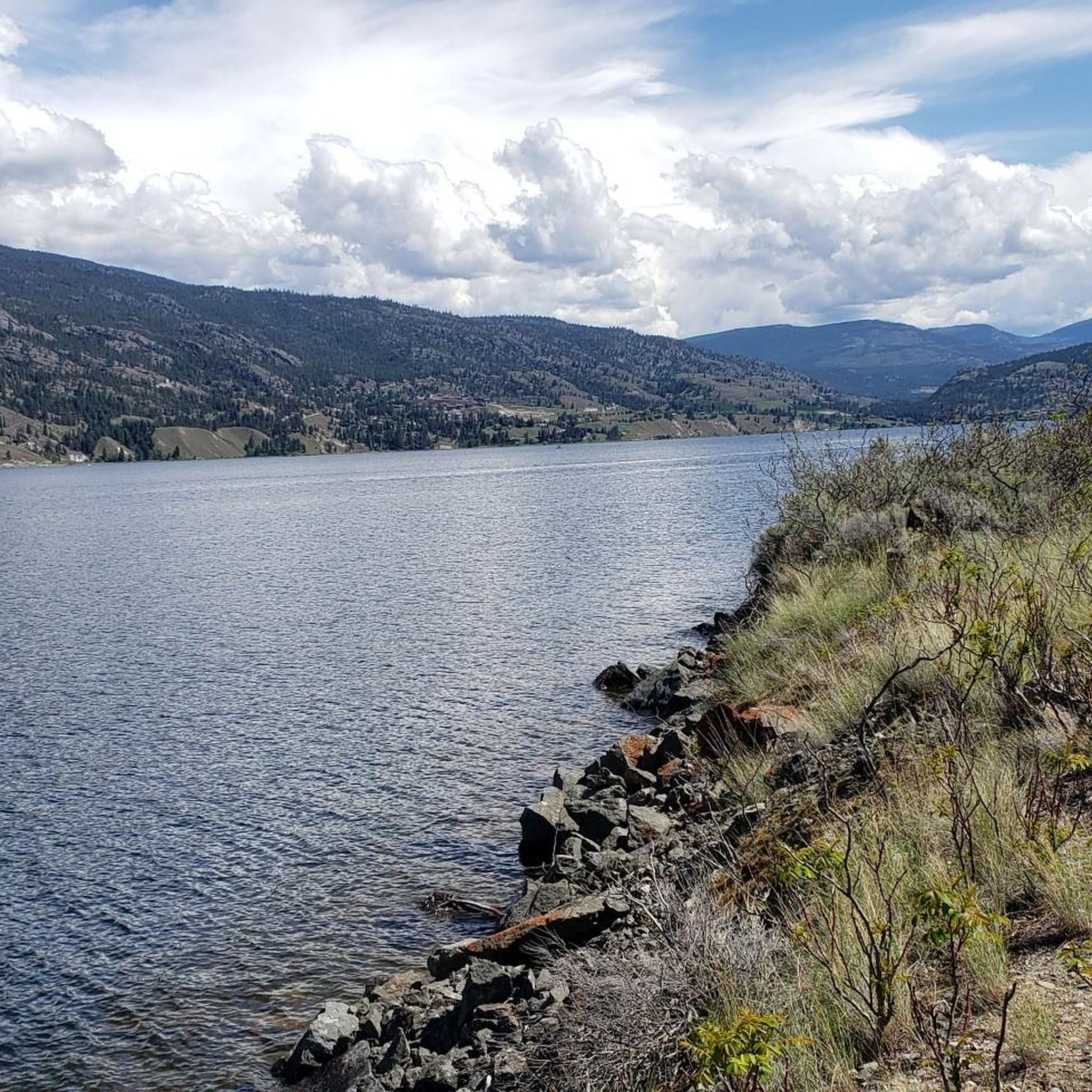
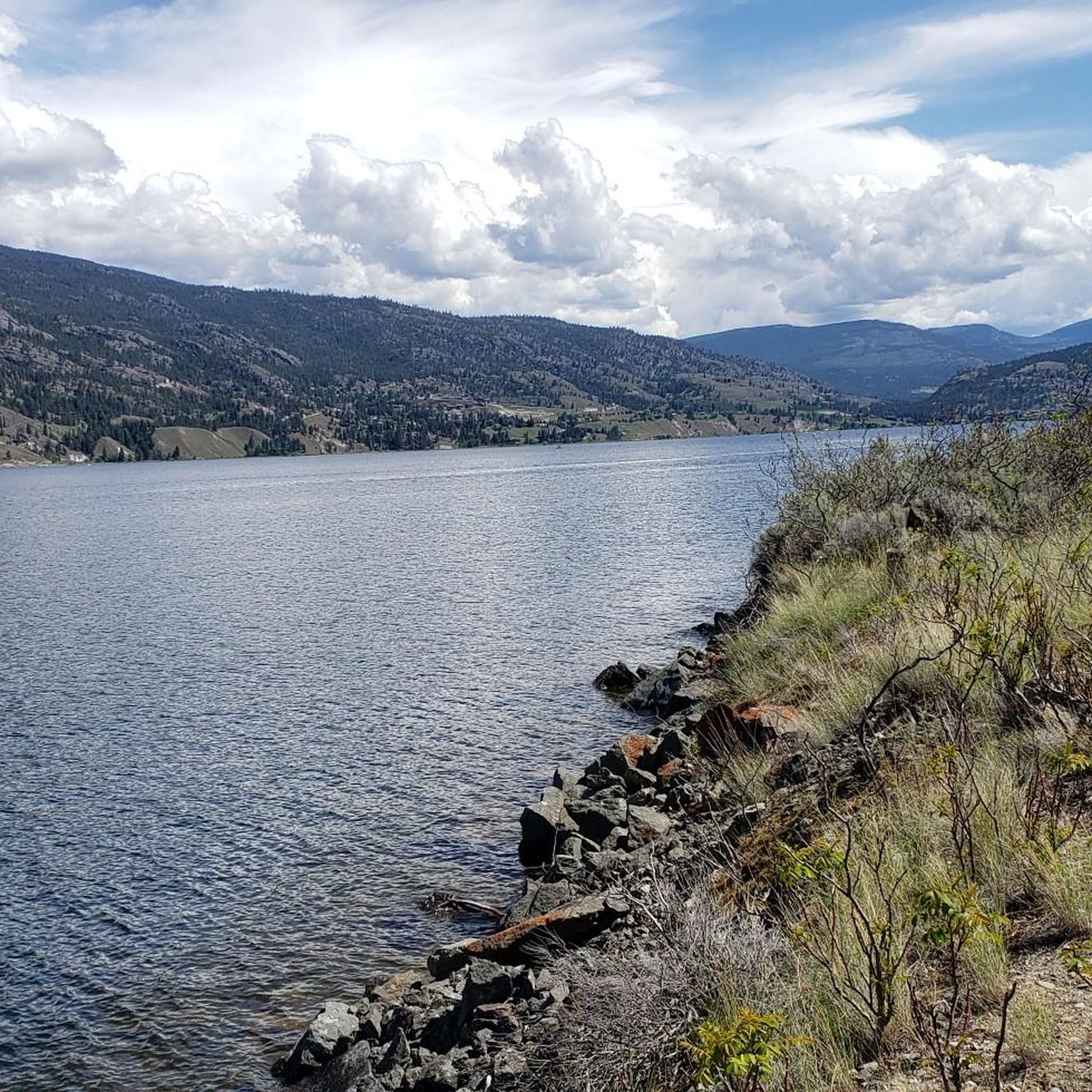
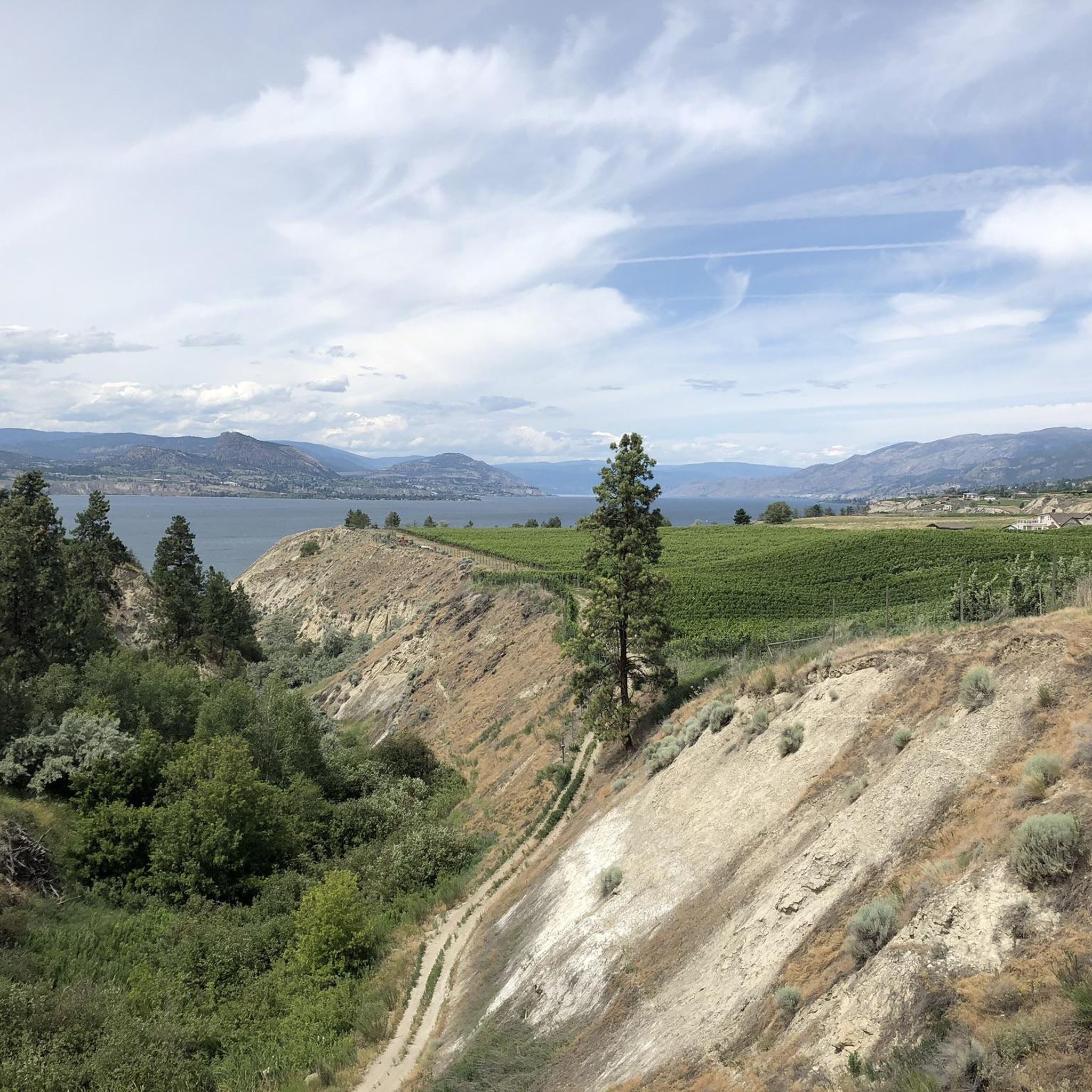
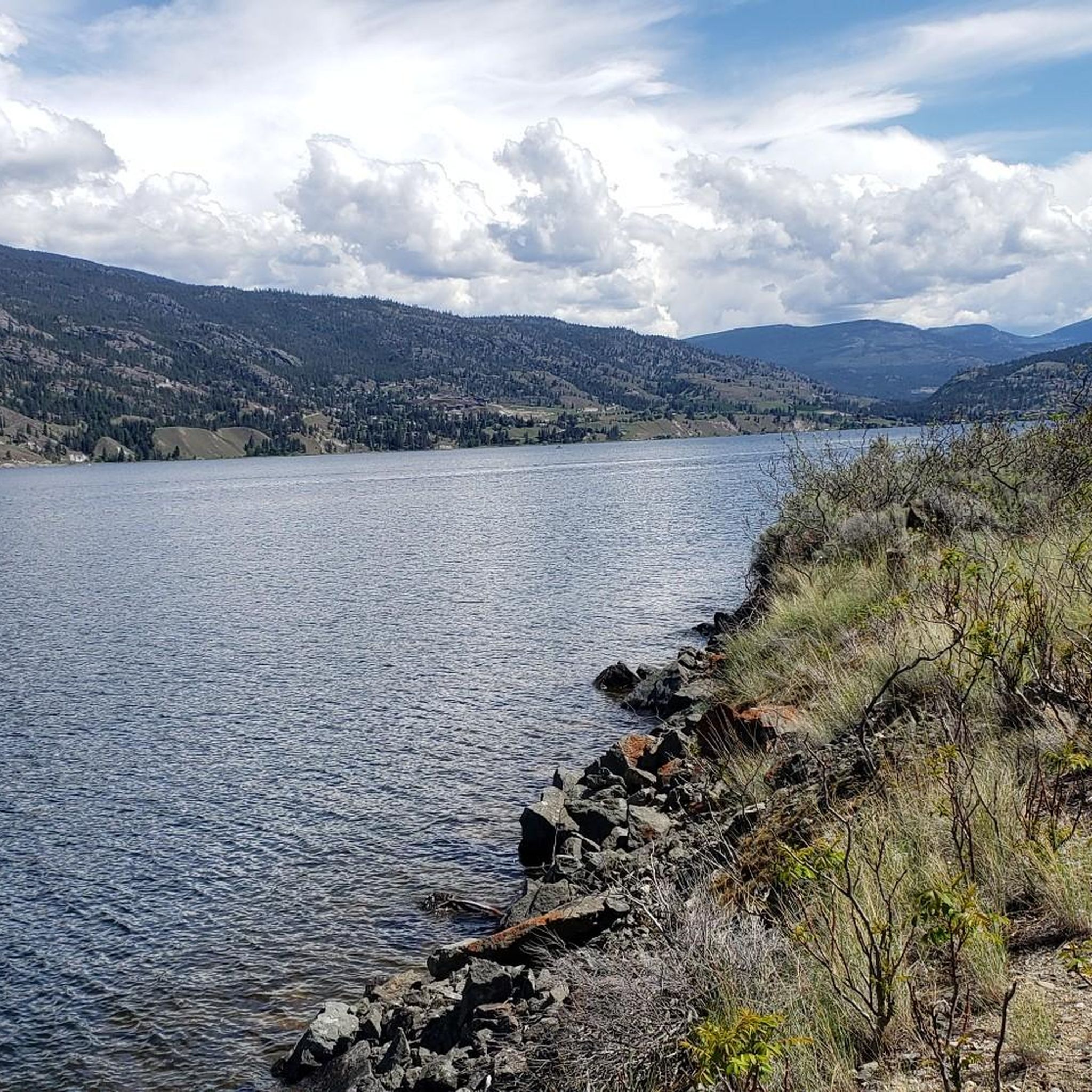
Road cycling around Okanagan-Similkameen D offers diverse landscapes, from semi-arid desert environments to rolling hills and sweeping valleys. The region features large lakes and the Similkameen River, which influence local temperatures and create varied terrain. Cyclists can expect routes that traverse sagebrush grasslands, ponderosa pine groves, and areas with mountainous backdrops, providing a unique setting for exploration.
Best road cycling routes around Okanagan-Similkameen D
- The most popular road cycling route is Along the Lake loop from Okanagan Falls, a 19.9 miles (31.9 km) trail that takes 1 hour 22 minutes to complete. This easy route follows the scenic shores of Skaha Lake.
- Another top favourite among local road cyclists is Bighorn Sheep Pasture – Along the Lake loop from MacCleave at Carmi (EB), a moderate 33.7 miles (54.3 km) path. This route features rolling hills and views of the surrounding valleys.
- Local road cyclists also love the Along the Lake – Bighorn Sheep Pasture loop from Penticton, a 70.6 miles (113.6 km) trail leading through varied terrain with significant elevation gain, often completed in about 5 hours 9 minutes.
- Road cycling around Okanagan-Similkameen D is defined by large lakes, rolling hills, and semi-arid desert landscapes. The network offers options for different ability levels, from easy rides to challenging routes with substantial elevation gains.
- The routes in Okanagan-Similkameen D are highly rated by the komoot community with an average score of 5.0 stars from over 4 reviews. More than 1000 road cyclists have used komoot to explore Okanagan-Similkameen D's varied terrain.
Last updated: August 28, 2026
5.0
(1)
183
riders
54.3km
02:23
530m
530m
Moderate road ride. Good fitness required. Mostly well-paved surfaces and easy to ride.
5.0
(1)
183
riders
113km
05:09
1,130m
1,130m
Hard road ride. Very good fitness required. Mostly well-paved surfaces and easy to ride.

Sign up for free
86
riders
96.0km
04:20
970m
970m
Hard road ride. Very good fitness required. Mostly well-paved surfaces and easy to ride.
5.0
(1)
70
riders
31.6km
01:21
280m
280m
Easy road ride. Great for any fitness level. Mostly well-paved surfaces and easy to ride.
71
riders
124km
05:44
1,320m
1,320m
Hard road ride. Very good fitness required. Some segments of this route may be unpaved and difficult to ride.
Get access to more routes and recommendations from other explorers.
Sign up for free
Already have an account?
Our route recommendations are based on thousands of hikes, rides, and runs completed by other people on komoot.
Start today with a free account
Your next adventure awaits.
Login or Signup
Tips from the Community

Trout Creek is a small yet vital river located just south of Summerland, serving as the primary water source for the district. Further upstream, the creek becomes a popular destination for whitewater kayaking in the dramatic Trout Creek Canyon.
0
0


Scenic ride with minimal vehicle traffic
0
0
Frequently Asked Questions
How many road cycling routes are available in Okanagan-Similkameen D?
The Okanagan-Similkameen D region offers a wide variety of road cycling routes, with over 20 routes available on komoot. These routes cater to all fitness levels, from easy rides to challenging routes with significant elevation gains.
What is the best time of year for road cycling in Okanagan-Similkameen D?
The moderate climate of Okanagan-Similkameen D makes it suitable for road cycling for much of the year. Spring and fall offer pleasant temperatures and stunning scenery, while summer provides warm, sunny conditions ideal for lakeside rides. Be aware that some areas experience a semi-arid desert environment, so hydration is key during warmer months.
Are there any easy road cycling routes suitable for beginners or families?
Yes, there are several easy routes perfect for beginners or families. A great option is the Along the Lake loop from Okanagan Falls, which is 31.9 km long and follows the scenic shores of Skaha Lake. The Oliver Trail, mentioned in regional research, is also described as an easygoing 20 km ride along the Okanagan River.
What are some challenging road cycling routes with significant elevation gain?
For experienced cyclists seeking a challenge, the region offers routes with substantial elevation gain. The Along the Lake – Bighorn Sheep Pasture loop from Penticton is a demanding 113.6 km route with over 1,100 meters of elevation gain, typically taking around 5 hours to complete. Another difficult option is the Bighorn Sheep Pasture – Along the Lake loop from Penticton, covering 96.1 km with nearly 1,000 meters of ascent.
Are there road cycling routes that offer scenic viewpoints or natural features?
Absolutely. The region is known for its diverse landscapes. Many routes offer views of the large lakes, rolling hills, and semi-arid desert environments. For panoramic views, consider routes that pass by View of Okanagan Lake or the Giants Head Summit. The Naramata Bench Road Cycle, for instance, follows the scenic shores of Okanagan Lake, passing numerous wineries.
What kind of natural features can I expect to see along the road cycling trails?
Road cycling in Okanagan-Similkameen D will expose you to a unique blend of natural features. You'll encounter rolling hills of sagebrush grassland, sweeping valleys dotted with ponderosa pine groves, and the expansive Okanagan and Skaha Lakes. The Similkameen River is also a central feature, nourishing farmlands and providing scenic backdrops. The region is also home to a unique semi-arid desert environment, the northernmost extension of North America's Great Basin Desert.
Are there any loop road cycling routes in the area?
Yes, many of the road cycling routes in Okanagan-Similkameen D are designed as loops, offering varied scenery without retracing your path. Examples include the Bighorn Sheep Pasture – Along the Lake loop from MacCleave at Carmi (EB), a moderate 54.3 km route, and the Green Valley Road loop from Penticton, a moderate 48.9 km ride.
What do other road cyclists enjoy most about road cycling in Okanagan-Similkameen D?
The area is highly rated by the komoot community, with an average score of 5.0 stars from over 4 reviews. Cyclists often praise the diverse landscapes, from lakeside views to rolling hills and vineyards, and the well-maintained network of routes that cater to various skill levels. The unique semi-arid environment also provides a distinct and memorable cycling experience.
Are there any specific landmarks or attractions I can visit while road cycling?
Yes, the region offers several points of interest. You can cycle past the historic Kettle Valley Railway: Steep and Challenging Section or the Adra Tunnel (Kettle Valley Railway). Many routes also pass by the beautiful Okanagan Lake and its beaches, such as Lakeside Beach on Okanagan Lake.
Are there amenities like cafes or accommodation near the road cycling routes?
The Okanagan-Similkameen D region is well-equipped for visitors. Many routes, particularly those around Penticton, Naramata, and Osoyoos, pass through or near towns with cafes, restaurants, and various accommodation options. The Naramata Bench Road Cycle, for example, is known for passing numerous picturesque wineries, many of which offer dining options.
Is the Kettle Valley Rail (KVR) Trail suitable for road bikes?
While the Kettle Valley Rail (KVR) Trail is a popular and scenic route, it's important to note that some sections are gravel. This makes it more suitable for hybrid or mountain bikes. However, other parts are well-maintained and may be accessible for road bikes, especially if they have wider tires. Cyclists often incorporate sections of the KVR Trail into road rides, such as the Naramata Bench route.
Most popular routes around Okanagan-Similkameen D
Most popular attractions around Okanagan-Similkameen D

Get inspired with the komoot mobile app


Explore more
Browse the best Road cycling routes in other regions.
