The best walks and hikes around Bordalsvatn
4.5
(234)
1,021
hikers
27
hikes
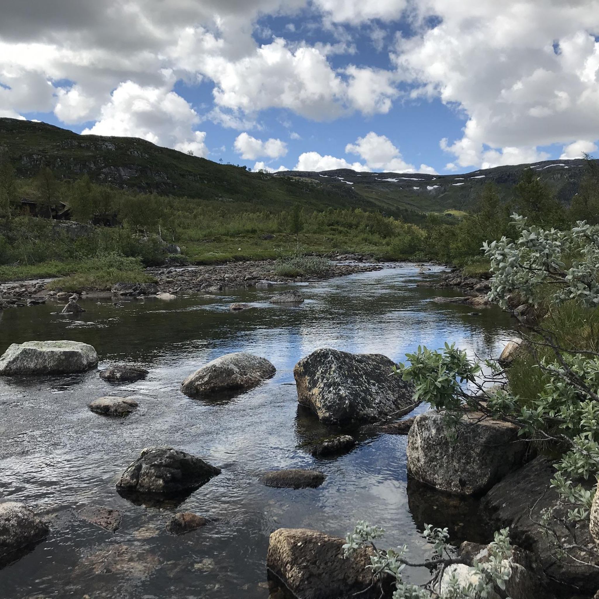
Hiking around Bordalsvatn offers a diverse landscape characterized by its lake, surrounding mountains, and forested areas. The region features varied terrain, including both gentle inclines and more demanding ascents, providing options for different fitness levels. Natural features such as water crossings and specific landmarks contribute to the hiking experience. The area is situated in Telemark, Norway.
Best hiking trails around Bordalsvatn
- The most popular hiking route is Bridge Over Dam loop from Vågsli, a 5.5 miles (8.9 km) trail…
Last updated: May 13, 2026
4.1
(12)
43
hikers
7.14km
01:54
80m
80m
Easy hike. Great for any fitness level. Easily-accessible paths. Suitable for all skill levels.
4.2
(10)
41
hikers
8.94km
02:25
120m
120m
Moderate hike. Good fitness required. Easily-accessible paths. Suitable for all skill levels.

Sign up for free
4.5
(2)
13
hikers
9.82km
03:02
340m
350m
Moderate hike. Good fitness required. Easily-accessible paths. Suitable for all skill levels.
5.0
(1)
1
hikers
14.9km
04:00
190m
190m
Moderate hike. Good fitness required. Easily-accessible paths. Suitable for all skill levels.
4.9
(39)
146
hikers
6.98km
02:00
60m
60m
Moderate hike. Great for any fitness level. Mostly accessible paths. Sure-footedness required.
Get access to more routes and recommendations from other explorers.
Sign up for free
Already have an account?
Our route recommendations are based on thousands of hikes, rides, and runs completed by other people on komoot.
Start today with a free account
Your next adventure awaits.
Login or Signup
Popular around Bordalsvatn
Tips from the Community

A gapahuk is a simple open-sided wooden shelter, often found in the forest and used as a place to rest or stay dry. Set in peaceful natural surroundings, it’s a welcoming spot to take a break, enjoy a snack, or pause by the fire pit if there is one nearby.
0
0
This charming wooden cabin sits quietly among the trees, surrounded by soft forest paths, grass, and dappled sunlight.
0
0
This bridge over the dam at Arbuvatn offers a dramatic crossing where powerful water crashes through the narrow outlet below.
0
0

No time to really go up the Hardangervidda then an option is to go up a nice path from the Gamle Haukeliveien. First a view of the snowy mountains and then the plateau of Hardangervidda.
0
0

There are a lot of beaten tracks, so we have more branches than there should be, but there is the signpost.
0
0
Frequently Asked Questions
How many hiking trails are available around Bordalsvatn?
There are over 20 hiking routes documented around Bordalsvatn, offering a diverse range of experiences. The majority are moderate, with a few more challenging options for experienced hikers.
What kind of landscapes can I expect to see while hiking in Bordalsvatn?
The Bordalsvatn area features a rich mix of landscapes, including expansive views of the lake and surrounding mountains, dense forested areas, and varied terrain with natural features like water crossings. You'll find both gentler inclines and more demanding ascents.
Are there any trails suitable for families with children?
While specific 'easy' trails are not detailed, the region offers paths suitable for various fitness levels. Look for routes with lower elevation gain and shorter distances, which are generally more family-friendly. The area's diverse terrain means there are options for less strenuous walks.
Can I bring my dog on the hiking trails around Bordalsvatn?
Generally, dogs are welcome on hiking trails in Norway, but it's always important to keep them on a leash, especially during lambing season (typically April-June) and to protect wildlife. Always clean up after your pet. Check local signage for any specific restrictions.
What are some notable landmarks or natural features to look out for on the trails?
Many trails offer stunning views of the lake and mountains, including vistas of Haukelifjell. Specific routes feature landmarks like Midtkullane and Hermodshola, which hint at varied terrain and natural formations. You might also encounter wooden cabins in the forest and dam crossings.
Are there any circular hiking routes in the Bordalsvatn area?
Yes, many of the routes around Bordalsvatn are designed as loops. For example, the Midtkullane – Hermodshola loop from Prestegård offers varied terrain and notable landmarks. Another option is the View of the lake and mountains – View of Haukelifjell loop from Kjelaneset, providing scenic vistas.
What is the best time of year to go hiking in Bordalsvatn?
The best time for hiking in Bordalsvatn is typically from late spring to early autumn (May to September), when the weather is milder and trails are generally free of snow. Summer offers the longest daylight hours, while autumn brings beautiful fall foliage. Always check local weather conditions before heading out.
Where can I park my car when hiking in Bordalsvatn?
Parking availability varies by trailhead. Many routes, such as those starting from Vågsli or Prestegård, will have designated parking areas nearby. It's advisable to check specific route descriptions or local maps for precise parking locations before your hike.
Is public transport available to reach the hiking trailheads?
While specific public transport details are not provided, Vågsli is a known starting point for several trails. It's recommended to research local bus services or other transport options to Vågsli or other key access points in the Telemark region to plan your journey.
What do other hikers say about the trails in Bordalsvatn?
The hiking routes in Bordalsvatn are highly regarded by the komoot community, holding an average rating of 4.5 stars from over 250 reviews. Hikers often praise the diverse terrain, beautiful lake and mountain views, and the variety of options for different skill levels.
Are there any longer, more challenging hikes for experienced trekkers?
Yes, the region offers more demanding routes for those seeking a challenge. For instance, the Wooden Cabin in the Forest – Bridge Over Dam loop from Vågsli is a difficult 12.4-mile trail that can take over 5 hours to complete, leading through forested areas and past a charming cabin.
Are there any easy or moderate routes with good views?
Absolutely. A moderate option with scenic rewards is the Bridge Over Dam loop from Vågsli. This 5.5-mile trail takes about 2.5 hours and features a dam crossing and pleasant forested sections. Another moderate choice offering views of Haukelifjell is the View of Haukelifjell loop from Bjødnatun.
Most popular routes around Bordalsvatn

Get inspired with the komoot mobile app


Explore more
Browse the best Hikes in other regions.
