The best walks and hikes around Area G (Forster Creek/Mount Assiniboine)
4.8
(574)
5,996
hikers
41
hikes
Hiking around Area G (Forster Creek/Mount Assiniboine) offers a wilderness experience dominated by towering, glacier-clad mountains and shimmering alpine lakes. The region features expansive alpine meadows and larch forests, particularly vibrant in late September. Geological formations, including distinctive pyramidal peaks, contribute to the area's unique landscape. This remote backcountry area is accessible primarily by hiking, providing a true immersion in nature.
Best hiking trails around Area G (Forster Creek/Mount Assiniboine)
- The most popular hiking route is Lower Bugaboo Falls Trail…
Last updated: October 5, 2026
4.9
(7)
68
hikers
2.82km
00:49
70m
70m
Hike the easy Lower Bugaboo Falls Trail in Bugaboo Provincial Park to a majestic glacier-fed waterfall, covering 1.8 miles in under an hour.
41
hikers
11.7km
04:03
680m
540m
Moderate hike. Good fitness required. Easily-accessible paths. Suitable for all skill levels.

5.0
(3)
27
hikers
12.2km
04:07
650m
650m
Moderate hike. Good fitness required. Easily-accessible paths. Suitable for all skill levels.
13
hikers
13.3km
03:39
220m
220m
Moderate hike. Good fitness required. Easily-accessible paths. Suitable for all skill levels.
5.0
(1)
17
hikers
7.14km
02:43
480m
480m
Moderate hike. Good fitness required. Easily-accessible paths. Suitable for all skill levels.
Get access to more routes and recommendations from other explorers.
Already have an account?
Our route recommendations are based on thousands of hikes, rides, and runs completed by other people on komoot.
Start today with a free account
Your next adventure awaits.
Popular around Area G (Forster Creek/Mount Assiniboine)
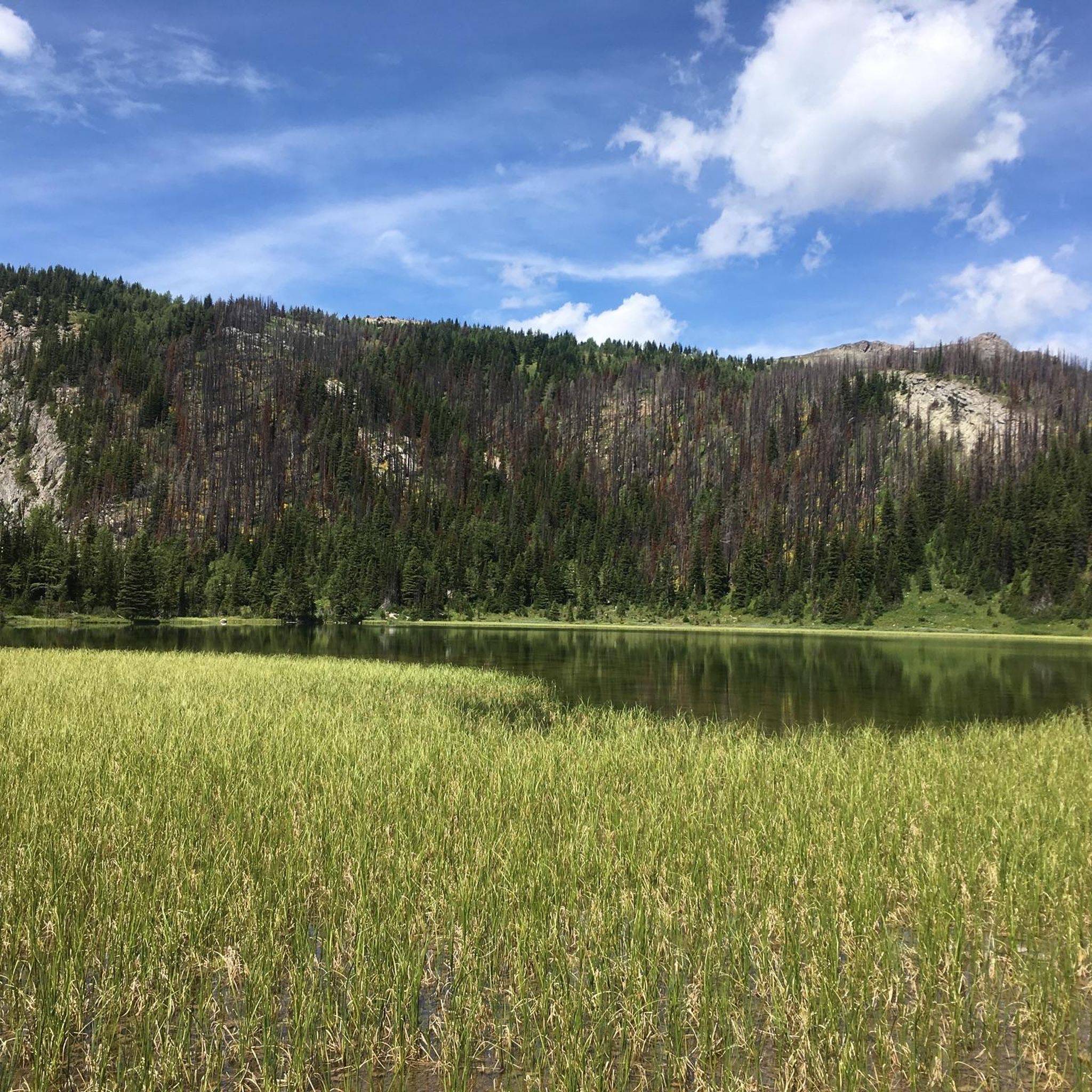
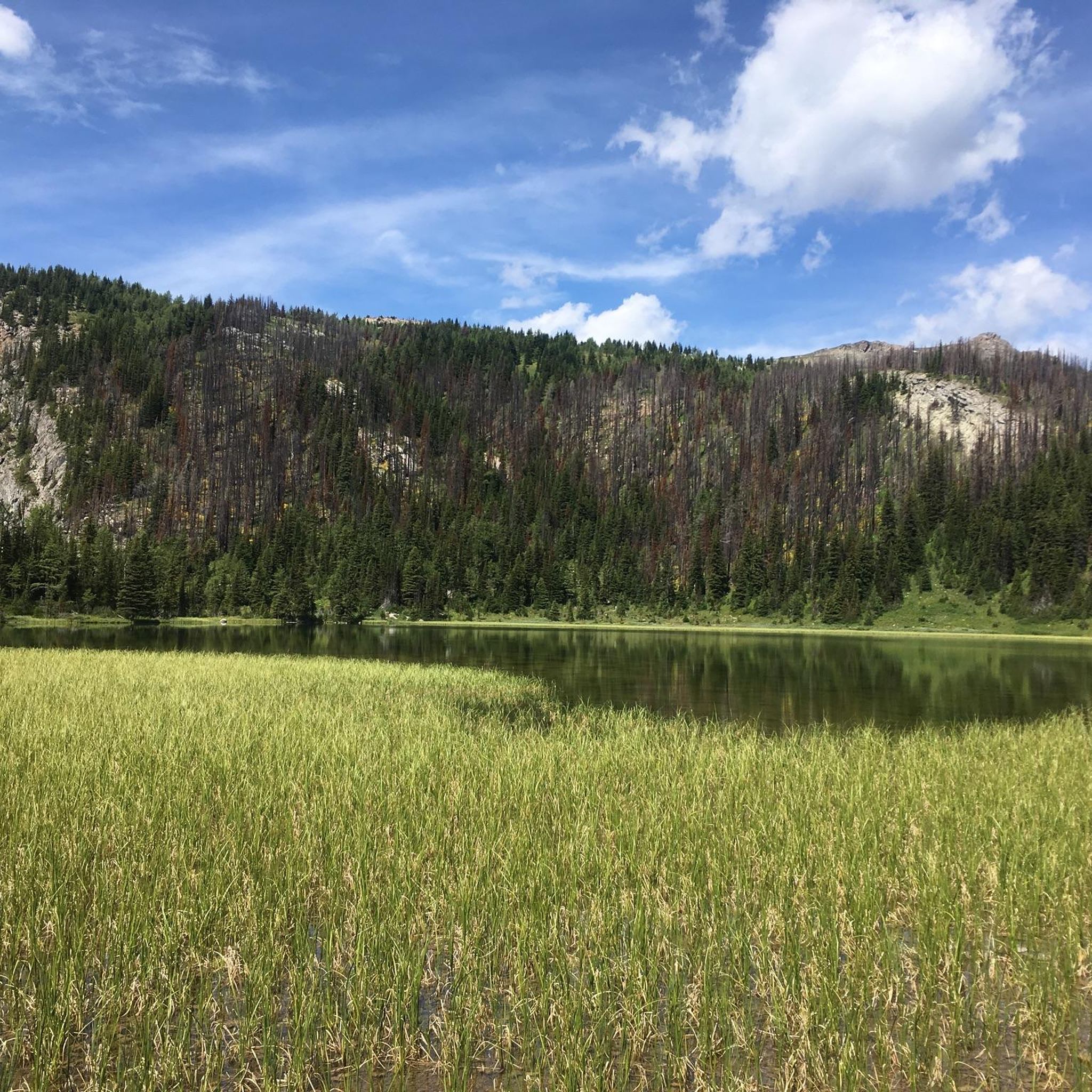
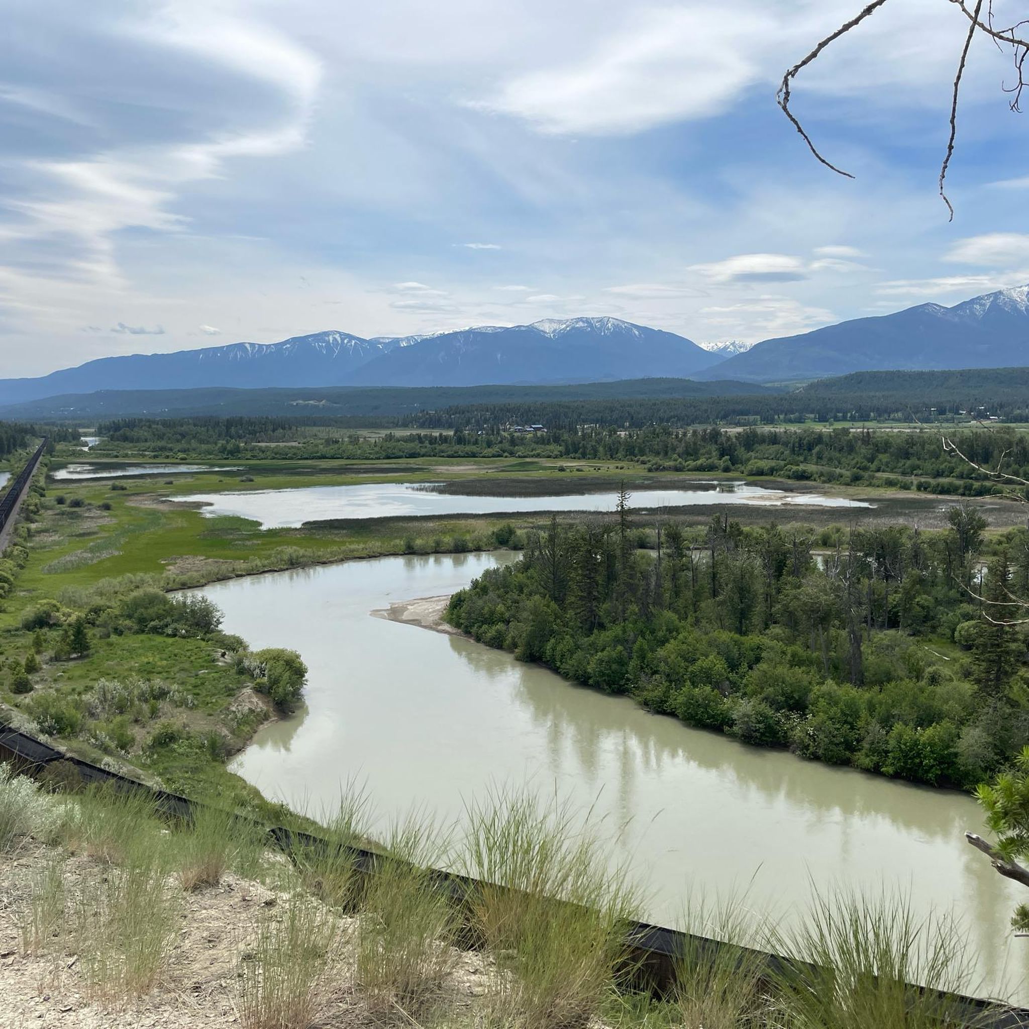
Tips from the Community

Tumbling Creek Campground is a beautiful backcountry base along the Rockwall trail, with shady tent pads, outhouses, and food lockers; plus you can fetch some water from the nearby creek. The site opens into meadows with mountain views, and there are two eating areas: for the best reward, keep walking to the benches with the big scenery.
0
0
Rockwall Pass feels immense, with glacier views, a larch-lined trail, and limestone peaks rising like a natural fortress around you. The path can be rocky, but it is well built and easy to follow. Watch for marmots along the way, and imagine these cliffs beginning as seabed nearly 500 million years ago.
0
0
This unnamed pass along the Rockwall Trail opens into a huge alpine world of limestone cliffs, glaciers, larch-filled meadows, and wildflowers. The trail rolls gently toward a lake below the moraine, with the cliffs rising a kilometre above you. Insect repellent helps here: the views are spectacular, but the bugs know it too.
0
0

Here’s a great view of Welsh Creek as it flows down the canyon, with the Purcell Mountains towering above.
0
0
This is where the trail becomes more adventurous as it ascends a steep talus field. It’s not as difficult as it looks, but be careful and make sure your footing is secure before taking the next step.
0
0
Lower Welsh Lake is a stunning turquoise alpine lake in the Purcell Mountains, located at the headwaters of Welsh Creek. Welsh and Irish Peaks rise behind the lake, creating a spectacular mountain backdrop.
0
0

Lower Bugaboo Falls Trail traverses dense woods, making roots and rocks a bit of a hazard along this relatively short trail. There are a few steep sections that make you work to see the roaring waterfall at the end.
0
0
This powerful and towering waterfall can only safely be viewed from afar, either as you look down at it from a canyon wall or from a sandy spot down river.
0
0
Frequently Asked Questions
How many hiking trails are there in Area G (Forster Creek/Mount Assiniboine)?
Area G (Forster Creek/Mount Assiniboine) offers over 35 hiking trails, catering to a range of experience levels. The komoot community has explored these routes over 2000 times, providing an average rating of 4.6 stars.
What natural features and landmarks can I expect to see while hiking in this region?
The region is dominated by towering, glacier-clad mountains, including the distinctive pyramidal peak of Mount Assiniboine. You'll encounter shimmering alpine lakes such as Lake Magog, Og Lake, and Cerulean Lake, along with vast alpine meadows and vibrant larch forests, particularly stunning in late September. Notable viewpoints include those from The Niblet, Nublet, and Nub Peak trails, offering iconic vistas over Lake Magog and the surrounding peaks.
Are there any waterfalls in Area G (Forster Creek/Mount Assiniboine)?
Yes, you can find waterfalls in the area. A popular and easy trail that leads to a notable waterfall is the Lower Bugaboo Falls Trail, which is a 1.8-mile (2.8 km) route.
What is the best time of year to hike in Area G (Forster Creek/Mount Assiniboine)?
The summer months offer expansive alpine meadows bursting with wildflowers. For a particularly stunning experience, visit in late September when the larch forests turn a vibrant golden. This remote backcountry area is accessible primarily by hiking, cross-country skiing, or helicopter, so conditions vary significantly by season.
Are there family-friendly hiking options in the Mount Assiniboine area?
Yes, there are several easier trails suitable for families. For instance, the Lower Bugaboo Falls Trail is an easy 1.8-mile (2.8 km) path. Additionally, easy walks along the western shoreline of Lake Magog offer great spots for sunrise and sunset viewing, which can be enjoyable for all ages.
Are dogs allowed on the hiking trails in Area G (Forster Creek/Mount Assiniboine)?
While specific regulations can vary, Mount Assiniboine Provincial Park is a wilderness area. It's crucial to check current park regulations regarding dogs, especially due to the presence of wildlife like grizzly bears. If dogs are permitted, they must be kept on a leash, and you should always practice Leave No Trace principles.
Do I need permits or reservations for hiking or camping in Mount Assiniboine Provincial Park?
Yes, Mount Assiniboine Provincial Park is a remote backcountry park. Reservations are often required for backcountry camping, especially during peak season, at popular destinations like Magog Lake and Og Lake. It is highly recommended to check the official park website for the most up-to-date information on permits and booking requirements before your visit.
What is the general difficulty level of hikes in this region?
The region offers a variety of trails for different abilities. You'll find easy paths like the Lower Bugaboo Falls Trail, moderate routes such as Diana Lake — East Kootenay, and more strenuous treks like The Niblet, Nublet, and Nub Peak trail, which offers iconic views but requires significant effort.
Are there any circular or loop trails in Area G (Forster Creek/Mount Assiniboine)?
Yes, there are loop options available. An example is the Deja View Trail and Old Coach Road loop — Radium Hot Springs, which is a moderate 10.9-mile (17.6 km) hike. Many trails also offer out-and-back sections that can be combined for varied experiences.
What kind of wildlife might I encounter while hiking?
As a remote wilderness area, the park is prime habitat for various animals. You might spot grizzly bears, so carrying bear spray and knowing how to use it is essential. Other potential sightings include bighorn sheep, mountain goats, pikas, marmots, and wolverines. The park also supports 93 avian species.
Are there any huts or shelters available for hikers in the area?
Yes, there are huts and shelters in the broader region. Notable options include the Lake Agnes Tea House and the Plain of Six Glaciers Tea House. For a more rustic experience, the Diana Lake Lodge and Teahouse also provides accommodation.
What should I wear or pack for hiking in Mount Assiniboine Provincial Park?
Given the remote and mountainous terrain, layered clothing is essential, even in summer, as weather can change rapidly. Sturdy hiking boots, rain gear, navigation tools, sufficient water and food, and bear spray are highly recommended. For late season visits, be prepared for colder temperatures and potential snow, especially at higher elevations.
Most popular routes around Area G (Forster Creek/Mount Assiniboine)
Most popular attractions around Area G (Forster Creek/Mount Assiniboine)

Get inspired with the komoot mobile app


Explore more
Browse the best Hikes in other regions.
