The best road cycling routes around Spallumcheen
5.0
(1)
136
riders
8
rides
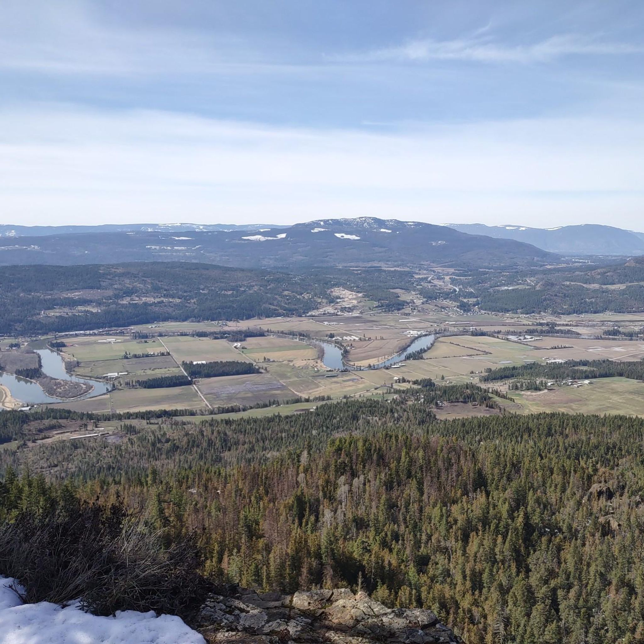
Road cycling around Spallumcheen features an extensive network of quiet roads winding through a picturesque agricultural landscape. The region is characterized by a pastoral patchwork of ranches, dairy farms, and fields, set within a wide valley bottom framed by evergreen slopes. These routes offer varied terrain, from flat sections suitable for easy rides to more challenging excursions with significant climbs. The area's natural features, including the Shuswap River and various lakes, contribute to the scenic backdrop for road cyclists.
Best…
Last updated: July 2, 2026
58
riders
98.4km
05:30
980m
980m
Hard road ride. Very good fitness required. Mostly well-paved surfaces and easy to ride.
5.0
(1)
19
riders
76.9km
04:15
740m
740m
Moderate road ride. Good fitness required. Mostly well-paved surfaces and easy to ride.

Sign up for free
17
riders
68.9km
03:56
670m
670m
Moderate road ride. Good fitness required. Some segments of this route may be unpaved and difficult to ride.
6
riders
99.2km
05:49
1,120m
1,120m
Hard road ride. Very good fitness required. Some segments of this route may be unpaved and difficult to ride.
3
riders
51.8km
02:54
490m
490m
Moderate road ride. Good fitness required. Mostly well-paved surfaces and easy to ride.
Get access to more routes and recommendations from other explorers.
Sign up for free
Already have an account?
Our route recommendations are based on thousands of hikes, rides, and runs completed by other people on komoot.
Start today with a free account
Your next adventure awaits.
Login or Signup
Popular around Spallumcheen
Tips from the Community

Shuswap Lake, which has more than 250 miles of navigable shoreline, is home to several species of salmonids, including chinook salmon, coho, sockeye, rainbow trout, and lake trout. These fish are of great importance for recreational fishing in the area.
1
0
Salmon Arm is a community located on the south arm of Shuswap Lake in the Thompson Okanagan region, British Columbia. This lake is known for its recreational activities, including water sports, fishing, and hiking.
1
0
Frequently Asked Questions
What kind of road cycling experience can I expect in Spallumcheen?
Spallumcheen offers a diverse road cycling experience with an extensive network of quiet, mostly paved back roads. You'll ride through a picturesque agricultural landscape, featuring a pastoral patchwork of ranches, dairy farms, and fields, all set within a wide valley bottom framed by evergreen slopes. The region caters to various skill levels, from easy rides lasting up to two hours to more challenging excursions of five hours or more with significant climbs.
Are there routes suitable for beginners or those looking for an easier ride?
Yes, Spallumcheen has routes suitable for easier rides. While many routes involve varied terrain, there are options with minimal elevation gain, perfect for a relaxed outing. For example, the area offers routes that can be completed in under two hours, providing a gentle introduction to the region's scenic beauty.
What are some of the natural features or landmarks I might see while cycling?
As you cycle through Spallumcheen, you'll encounter a variety of natural features. Routes often wind past the Shuswap River and various lakes, including Otter Lake, known for birdwatching. You might also catch glimpses of Mount Rose Swanson, which offers spectacular views of the valley, and the Thomas Hayes Ecological Reserve, a haven for diverse plant and animal life.
Are there any challenging road cycling routes for experienced riders?
Absolutely. For experienced riders seeking a challenge, Spallumcheen offers routes with significant climbs and longer distances. An example is the Parkinson Lake loop from Pleasant Valley at Hwy 97A (SB), a difficult 98.4 km route with substantial elevation gain, typically taking over five hours to complete.
What do other road cyclists say about the routes in Spallumcheen?
The road cycling routes in Spallumcheen are highly regarded by the komoot community, with an average rating of 5.0 stars. Over 100 road cyclists have used komoot to explore the varied terrain, often praising the quiet roads, scenic agricultural views, and the overall enjoyable riding experience.
Can I find loop routes in Spallumcheen?
Yes, loop routes are a prominent feature of road cycling in Spallumcheen. Many routes are designed as loops, often averaging between 40 and 50 kilometers, allowing you to start and finish in the same location. A popular moderate loop is the Shuswap River – Waby Lake loop from Armstrong, which winds through agricultural lands.
Are there any specific areas known for good road cycling?
Many popular road cycling routes in Spallumcheen wind through the scenic Spallumcheen farmland, particularly around Armstrong and Grandview Flats. These areas offer a classic pastoral backdrop for your ride, with quiet roads and picturesque views of ranches and fields.
What is the total distance of paved roads available for cycling in Spallumcheen?
The Township of Spallumcheen boasts an impressive 213 kilometers of quiet back roads, with many segments being paved. This extensive network provides ample opportunities for road cyclists to explore the region.
Are there any attractions or activities near the cycling routes?
Beyond cycling, Spallumcheen offers several attractions. You can explore agri-tourism by visiting local cideries like Farmstrong Cider Company or vineyards. For outdoor enthusiasts, Mount Rose Swanson and the Thomas Hayes Ecological Reserve offer hiking trails and birdwatching opportunities. In Armstrong, Memorial Park provides amenities like an outdoor heated pool and playground.
Where can I find more information about cycling in the broader Armstrong-Spallumcheen area?
For additional information about cycling and other activities in the Armstrong-Spallumcheen area, you can visit the local tourism website: tourismarmstrongspall.com/cycling.
How many road cycling routes are available in this guide for Spallumcheen?
This guide features 8 road cycling routes around Spallumcheen, ranging from easy to difficult, ensuring options for various fitness levels and preferences.
Is there a route that explores the Shuswap River valley?
Yes, the Shuswap River loop from Enderby is a popular 99.2 km route that leads through the scenic Shuswap River valley, offering beautiful riverside views and a challenging ride.
Most popular routes around Spallumcheen

Get inspired with the komoot mobile app


Explore more
Browse the best Road cycling routes in other regions.
