The best walks and hikes around Cardston County
4.2
(76)
824
hikers
10
hikes
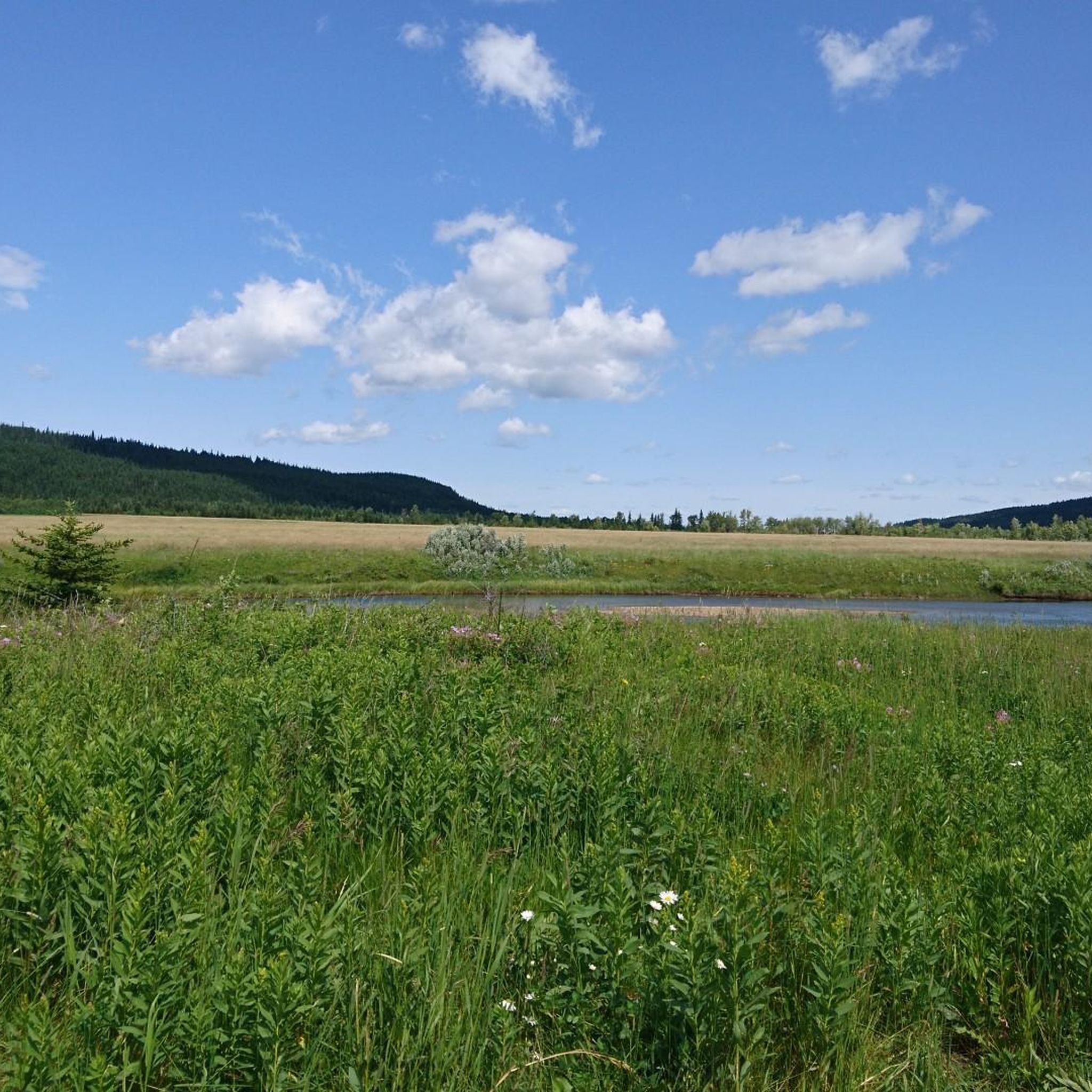
Hiking around Cardston County offers diverse landscapes in the rolling foothills of southwest Alberta. The region features varied terrain, from prairie environments to mountain views, with prominent natural features like the St. Mary River and Lee Creek. It provides views of the Canadian Rockies and is located near Waterton-Glacier International Peace Park, offering extensive trail systems.
Best hiking trails around Cardston County
- The most popular hiking route is Belly River Trail, a 10.4 miles (16.7 km) trail that takes…
Last updated: September 30, 2026
20
hikers
16.7km
04:33
200m
340m
Moderate hike. Good fitness required. Easily-accessible paths. Suitable for all skill levels.
4.8
(31)
383
hikers
2.38km
00:57
180m
180m
Easy hike. Great for any fitness level. Easily-accessible paths. Suitable for all skill levels.

8
hikers
1.91km
00:29
10m
10m
Easy hike. Great for any fitness level. Easily-accessible paths. Suitable for all skill levels.
7.95km
04:14
1,020m
1,020m
Hard hike. Very good fitness required. Easily-accessible paths. Suitable for all skill levels.
1
hikers
3.83km
00:58
10m
10m
Easy hike. Great for any fitness level. Easily-accessible paths. Suitable for all skill levels.
14.8km
03:54
130m
130m
Moderate hike. Good fitness required. Easily-accessible paths. Suitable for all skill levels.
2.89km
00:47
40m
40m
Easy hike. Great for any fitness level. Easily-accessible paths. Suitable for all skill levels.
1.63km
00:25
0m
0m
Easy hike. Great for any fitness level. Easily-accessible paths. Suitable for all skill levels.
5.51km
01:26
40m
40m
Easy hike. Great for any fitness level. Easily-accessible paths. Suitable for all skill levels.
4.5
(4)
31
hikers
6.72km
02:08
240m
240m
Moderate hike. Good fitness required. Easily-accessible paths. Suitable for all skill levels.
Our route recommendations are based on thousands of hikes, rides, and runs completed by other people on komoot.
Start today with a free account
Your next adventure awaits.
Popular around Cardston County
Tips from the Community

This replica of an 1800s fur trading fort now functions as an interpretive centre, focusing on the viewpoints of local Indigenous peoples and early settlers. Listen to stories, look for wildlife in the prairie badlands all around you, or try your hand at unusual skills and experiences, like horse-drawn wagons.
0
0
This paved multiuse trail makes a fine hiking or biking path as you go past the Helen Schuler Nature Centre. Keep an eye out for benches along the way, and consider linking this trail up with the Coal Banks Trail for a full loop.
0
0
This 24.6 kilometre trail winds past some of Lethbridge's most important sites — and some of its most scenic sights. This stretch roughly parallels the Oldman River, which is responsible for carving out the valley all around it.
0
0

This is a great spot to get a fantastic view of Middle Waterton Lake, surrounded by the rugged peaks and forested slopes of Waterton Lakes National Park. As you stand by the lake, the still waters mirror the stunning mountain scenery, inviting you to take a moment to appreciate the beauty of the Waterton Valley.
0
0
Kootenai Brown Trail is an easy, paved multi-use path that follows along Middle Waterton Lake, Blakiston Creek and Lower Waterton Lake through some of the park’s most picturesque valley landscapes. With minimal elevation gain, it passes aspen groves, colourful wildflower meadows, and the Blakiston alluvial fan, with beautiful views of Mount Vimy and the surrounding peaks. It’s an easy walk or bike ride with excellent opportunities to spot wildlife, from beavers and waterfowl to deer grazing along the valley.
0
0

In the heart of the Riverstone neighbourhood, Grand River Park is a pleasant little green space. It acts as a green corridor between local walkways, with canal paths and bridges. To the south, on the other side of Grand River Boulevard, is the lovely William Pearce Park.
0
0
Named after the 19th-century "father of irrigation" for his work irrigating the prairies, William Pearce Park is a delightful green space. It includes a scenic pond and a fishing deck, as well as a small playground.
0
0

This man-made lake forms the centrepiece of Nicholas Sheran Park and supports everything from trout and pike to whitefish, making it a popular local fishing spot. During the warmer months, kayakers and other non-motorised boaters are often seen on the water, while ducks and other waterfowl are regular visitors to the shoreline.
0
0
Frequently Asked Questions
How many hiking trails are available in Cardston County?
Cardston County offers a selection of hiking routes, with approximately 6 trails featured in this guide. These range from easy walks to more challenging mountain scrambles, providing options for various skill levels.
Are there hiking options for beginners or families in Cardston County?
Yes, Cardston County provides several easy hiking options suitable for beginners and families. For instance, Bear's Hump – Waterton Lakes National Park is an easy 1.5-mile path offering panoramic views. The Driftwood Beach Shore is another easy option, and the Cardston Nature Trail / Cardston Lee Creek Path offers accessible paved and dirt sections along Lee Creek.
What kind of terrain can I expect on hikes in Cardston County?
Hiking in Cardston County features diverse terrain, from the picturesque rolling foothills to more rugged mountain environments. You'll find paths along riparian areas like the St. Mary River and Lee Creek, as well as trails offering views of the majestic Canadian Rockies. Some routes, like the Mount Crandell East Route, involve steep sections and loose rock, characteristic of mountain scrambles.
Are there any challenging hikes for experienced trekkers in the area?
Experienced trekkers can find challenging routes, particularly within the nearby Waterton Lakes National Park. The Mount Crandell East Route is a difficult 4.9-mile scramble that rewards with panoramic views but requires comfort with route-finding and exposure. The Belly River Trail, while moderate, is a longer 10.4-mile trail with varied terrain.
Are dogs allowed on the hiking trails in Cardston County?
While specific regulations vary by trail and park, many areas in Cardston County and its surroundings are dog-friendly, often requiring dogs to be on a leash. For trails within Waterton Lakes National Park, it's always best to check the park's official guidelines for the most current information on pet policies and any restricted areas.
What is the best time of year to go hiking in Cardston County?
The best time for hiking in Cardston County is generally from late spring through early fall (May to October), when the weather is mild and trails are clear of snow. Summer offers the warmest temperatures, while spring and fall provide beautiful scenery with fewer crowds. Always check local conditions, especially for higher elevation trails, as seasonal closures or snow can persist into early summer.
Is public transport available to reach trailheads in Cardston County or Waterton Lakes National Park?
Public transport options directly to trailheads in Cardston County or Waterton Lakes National Park are limited. Most visitors rely on personal vehicles to access hiking routes. Within Waterton Lakes National Park, there may be shuttle services during peak season for certain popular trails, but it's advisable to verify this with the park directly.
Are there any specific permits or fees required for hiking in the area?
Hiking within Waterton Lakes National Park requires a valid park pass. For trails outside the national park, such as the Cardston Nature Trail, permits are generally not required. It's always recommended to check the specific requirements for any provincial parks or protected areas you plan to visit.
Where can I find parking for hiking trails in Cardston County?
Parking is typically available at designated trailheads for most routes in Cardston County and surrounding parks. For trails within Waterton Lakes National Park, there are often parking lots near popular starting points. For local trails like the Cardston Nature Trail, parking can be found within the town of Cardston. Always look for official parking areas and adhere to any posted regulations.
What are some scenic viewpoints or natural attractions to look out for?
Cardston County offers stunning natural beauty. You can enjoy views of the Canadian Rockies and iconic landmarks like Chief Mountain. The Bear's Hump hike provides panoramic vistas of Upper Waterton Lake and the surrounding peaks. The St. Mary River and Lee Creek also offer picturesque riparian landscapes. Additionally, the St. Mary Reservoir Provincial Recreation Area features an interpretive loop trail with views of the southwestern Rockies.
Are there any loop trails available in Cardston County?
Yes, there are loop trail options in the region. The Elizabeth Hall Wetlands loop offers a pleasant circuit. Additionally, the St. Mary Reservoir Provincial Recreation Area has a short interpretive loop trail. For more extensive loop options, exploring the trail networks within Waterton Lakes National Park can provide various circular routes.
What do other hikers enjoy most about hiking in Cardston County?
The hiking routes in Cardston County are highly rated by the komoot community, with an average score of 4.9 stars from over 60 reviews. Hikers often praise the diverse landscapes, from rolling foothills to mountain views, and the abundant wildlife. The accessibility of trails for various skill levels and the proximity to world-class parks like Waterton Lakes National Park are also frequently highlighted.
Most popular routes around Cardston County

Get inspired with the komoot mobile app


Explore more
Browse the best Hikes in other regions.
