The best road cycling routes around Calgary
4.6
(198)
5,044
riders
155
rides
Road cycling around Calgary benefits from an extensive urban pathway network, connecting various parks and natural areas. The city's landscape features river valleys, such as the Bow and Elbow Rivers, and large urban parks like Fish Creek Provincial Park and Nose Hill Park. While the immediate city offers mostly gentle terrain, its proximity to the Rocky Mountains provides options for routes with greater elevation. This diverse geography supports a wide range of road cycling experiences.
Best road cycling routes around…
Last updated: October 5, 2026
4.9
(19)
308
riders
59.8km
02:51
320m
320m
Moderate road ride. Good fitness required. Mostly well-paved surfaces and easy to ride.
4.6
(17)
232
riders
72.1km
03:02
360m
360m
Moderate road ride. Good fitness required. Mostly well-paved surfaces and easy to ride.

4.0
(2)
95
riders
22.5km
01:10
120m
120m
Easy road ride. Great for any fitness level. Mostly well-paved surfaces and easy to ride.
4.6
(13)
216
riders
Easy road ride. Great for any fitness level. Mostly well-paved surfaces and easy to ride.
4.4
(5)
206
riders
57.1km
02:49
400m
400m
Moderate road ride. Good fitness required. Mostly well-paved surfaces and easy to ride.
Get access to more routes and recommendations from other explorers.
Already have an account?
Our route recommendations are based on thousands of hikes, rides, and runs completed by other people on komoot.
Start today with a free account
Your next adventure awaits.

Other adventures around Calgary

Tips from the Community

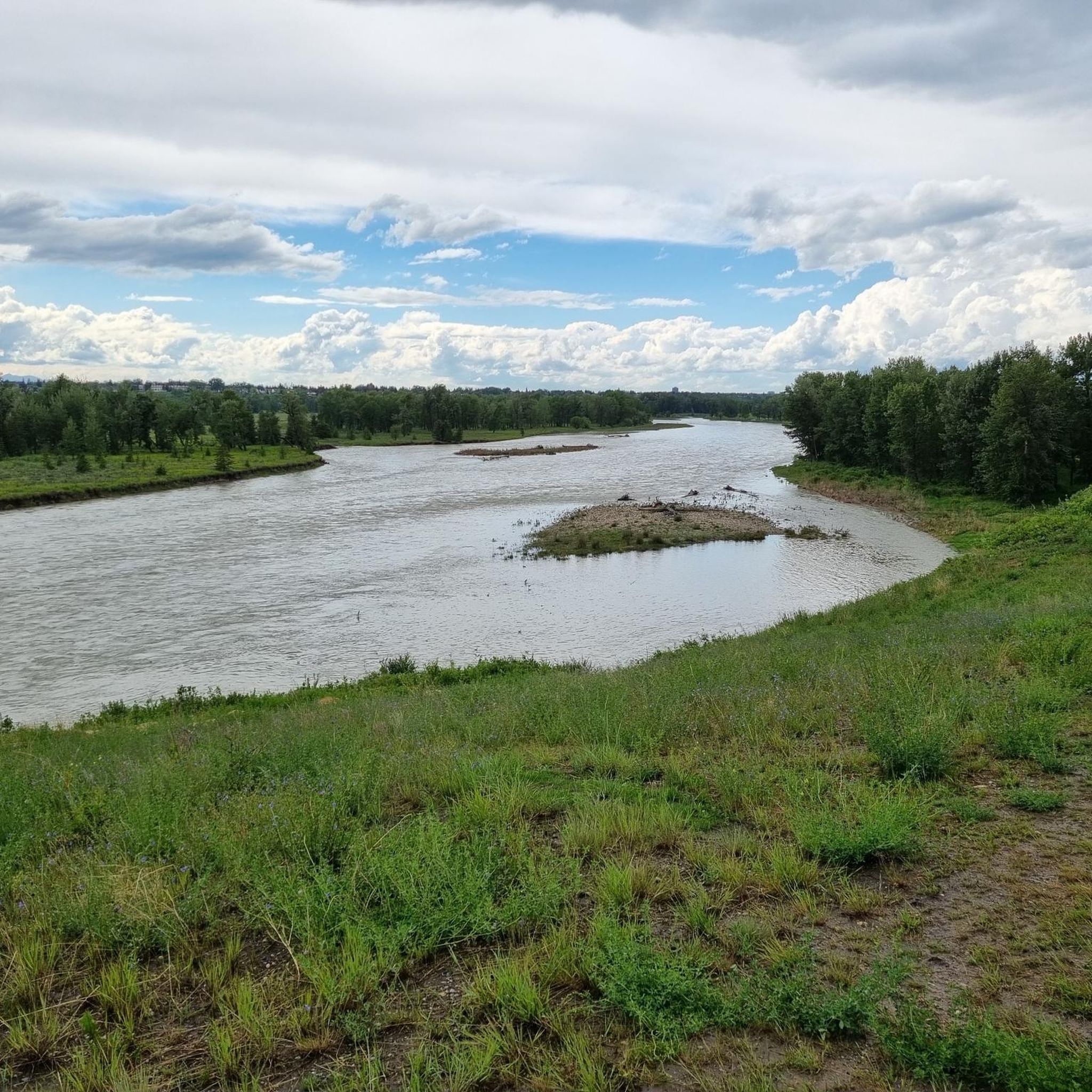
Following both banks of the Bow River through Calgary, the Bow River Pathway forms part of a city-wide trail network stretching for approximately 48 kilometres. This section passes through the Inglewood Bird Sanctuary, where the river supports a rich mix of forest, wetland, and wildlife habitat. Wide paved paths and regular river views make it one of the most enjoyable places in the city for walking, cycling, and wildlife watching.
0
0

Fish Creek has maintained much of its natural state thanks to the large provincial park that surrounds it as it flows through southern Calgary. Providing vital habitat for a wide range of flora and fauna the creek is known for trout fishing and the over 200 bird species that have been spotted along its banks. The park that surrounds it as over 100 kilometres of trails ranging in difficulty and terrain type, so just about everyone is likely to find a stretch of trail that suits them.
0
0

The Rise Firepit is perched on a manmade hill, The Rise, on Saint Patrick Island. In the winter when there's enough snow, you're sure to find some kids tobogganing here, and in the summer the large grass area is great for picnics and lying out and enjoying the view.
0
0
Originating in the Rocky Mountains near Bragg Creek, the Elbow River flows east through Calgary before joining the Bow River downtown. Along its course, it passes through popular parks like Sandy Beach and Stanley Park, offering calm stretches for paddling and scenic riverside trails. Its clear waters and tree-lined banks make it one of Calgary’s most recognizable natural features.
0
0
Harvey Passage is a man-made whitewater channel on the Bow River, designed for safe kayaking, rafting, and surfing near the western edge of Pierce Estate Park. The passage includes both an easy channel for beginners and a more challenging route with waves and drops for skilled paddlers. It’s a great spot to watch paddlers from the Bow River Pathway, especially in summer when the water is high and activity on the river is constant.
0
0
Located where the Bow and Elbow Rivers meet, The Confluence marks the birthplace of Calgary and the site of the original Fort Calgary built in 1875. This area has long been a gathering place for Indigenous peoples and today serves as both a historic landmark and a place of reflection on the region’s layered past. Walking paths and interpretive signs make it easy to explore this meaningful site right at the edge of downtown.
0
0
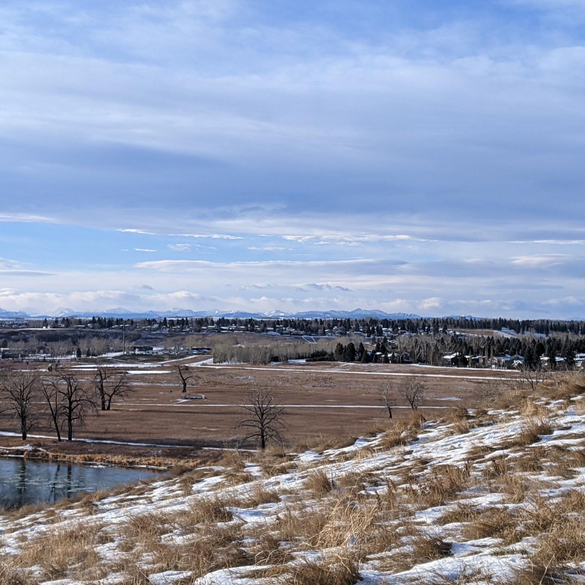
This peninsula has benches and a great view of Glenmore Reservoir. The reservoir was dammed in 1932 and is one of Calgary's primary sources of drinking water.
0
0
Pumphouse Park sits on the south bank of the Bow River, adjacent to the historic Bow River Pumphouse No. 2 ( or Pumphouse Theatre), built in 1913. This park offers picnic areas, benches, and stunning views of the Bow River, along with access to riverside trails.
0
0
Frequently Asked Questions
How many road cycling routes are available around Calgary?
Calgary offers a vast network of road cycling routes, with over 180 routes available on komoot. This includes a wide variety of options, from easy urban loops to more challenging rides with moderate elevation changes.
What types of terrain can I expect on road cycling routes in Calgary?
Calgary's road cycling terrain is diverse. Within the city, you'll find mostly gentle, well-paved pathways along river valleys like the Bow and Elbow, and through large urban parks. For those seeking more challenge, the proximity to the Rocky Mountains provides options for routes with greater elevation, such as the 'Road to Nepal' in the Priddis Area, known for significant climbing.
Are there family-friendly road cycling routes in Calgary?
Yes, Calgary's extensive pathway system includes many family-friendly options. Routes along the Bow River Pathway or around the Glenmore Reservoir offer mostly flat, paved surfaces, making them suitable for cyclists of all ages and abilities. These paths often connect to parks and amenities, perfect for a family day out.
What are some scenic stops or landmarks I can see while road cycling in Calgary?
Calgary's routes offer numerous scenic stops. Along the Bow River Pathway, you can enjoy views of the city skyline and pass through Peace Bridge (Calgary) and Prince's Island Park. The Glenmore Reservoir loop provides views of sailboats and the Weaselhead Natural Area. Other notable landmarks include Barry Erskine Bridge and the vast landscapes of Fish Creek Provincial Park.
Are there any long-distance road cycling routes in the Calgary area?
For distance riders, Calgary offers several options. The Rotary/Mattamy Greenway forms a 138-kilometer ring around the city, connecting numerous communities and parks. Outside the city, routes like the Calgary to Chestermere ride can extend up to 80 km, and the Canola Century Ride offers a 100-mile experience through farmlands north of Calgary.
What is the best time of year for road cycling in Calgary?
The best time for road cycling in Calgary is typically from late spring to early autumn (May to October). During these months, the weather is generally mild and pleasant, and the pathways are clear of snow and ice. Late July is particularly scenic for the Canola Century Ride when the canola fields are in bloom.
Can I find routes with cafes or places to stop for refreshments?
Many urban routes in Calgary, especially those along the Bow River Pathway, pass through or near neighborhoods like Kensington, which offer numerous cafes and restaurants. Prince's Island Park, a popular stop on river pathways, also hosts eateries. For example, the Lazy Loaf Bakery – View of Bowmont Park loop from Barlow/Max Bell starts near a popular bakery.
What are the difficulty levels of road cycling routes in Calgary?
Calgary caters to all skill levels. You'll find a significant number of easy routes, perfect for beginners or leisurely rides, making up about 84 of the total routes. Moderate routes are also abundant, with 94 options, offering longer distances or gentle climbs. There are a few difficult routes (3 total) for experienced cyclists seeking more challenging elevation gains, particularly closer to the mountains.
How do other cyclists rate the road cycling experience in Calgary?
The road cycling routes around Calgary are highly regarded by the komoot community, boasting an average rating of 4.5 stars from over 200 reviews. Cyclists frequently praise the extensive, well-maintained pathway network, the scenic river views, and the variety of routes suitable for different fitness levels.
Are there any specific routes that offer views of the Glenmore Reservoir?
Yes, the Glenmore Reservoir is a popular feature for road cyclists. Routes like the Barry Erskine Bridge – Weaselhead Natural Area loop from Sunalta and the View of the Reservoir – Weaselhead Natural Area loop from Shaganappi Point offer beautiful views of the reservoir and its surrounding natural areas, including the Weaselhead Natural Area.
What are some options for parking near road cycling routes in Calgary?
Calgary offers various parking options near its extensive pathway network. Many parks, such as Fish Creek Provincial Park and Nose Hill Park, have designated parking lots. Additionally, many urban routes are accessible from neighborhood streets with street parking, or from public transit hubs, allowing for flexible starting points.
Can I explore the Bow River Pathway on a road bike?
Absolutely. The Bow River Pathway is one of Calgary's most iconic and extensive pathways, perfect for road cycling. It offers stunning city skyline views, passes through key attractions like Prince's Island Park, and connects to other pathways, providing a smooth and scenic ride through the heart of the city. A popular option is the Prince's Island Park – Bow River loop from Shaganappi Point.
Most popular routes around Calgary
Most popular attractions around Calgary

Get inspired with the komoot mobile app


Explore more
Browse the best Road cycling routes in other regions.
