The best road cycling routes around Area E (Balfour/Cottonwood Lake)
5.0
(2)
175
riders
12
rides
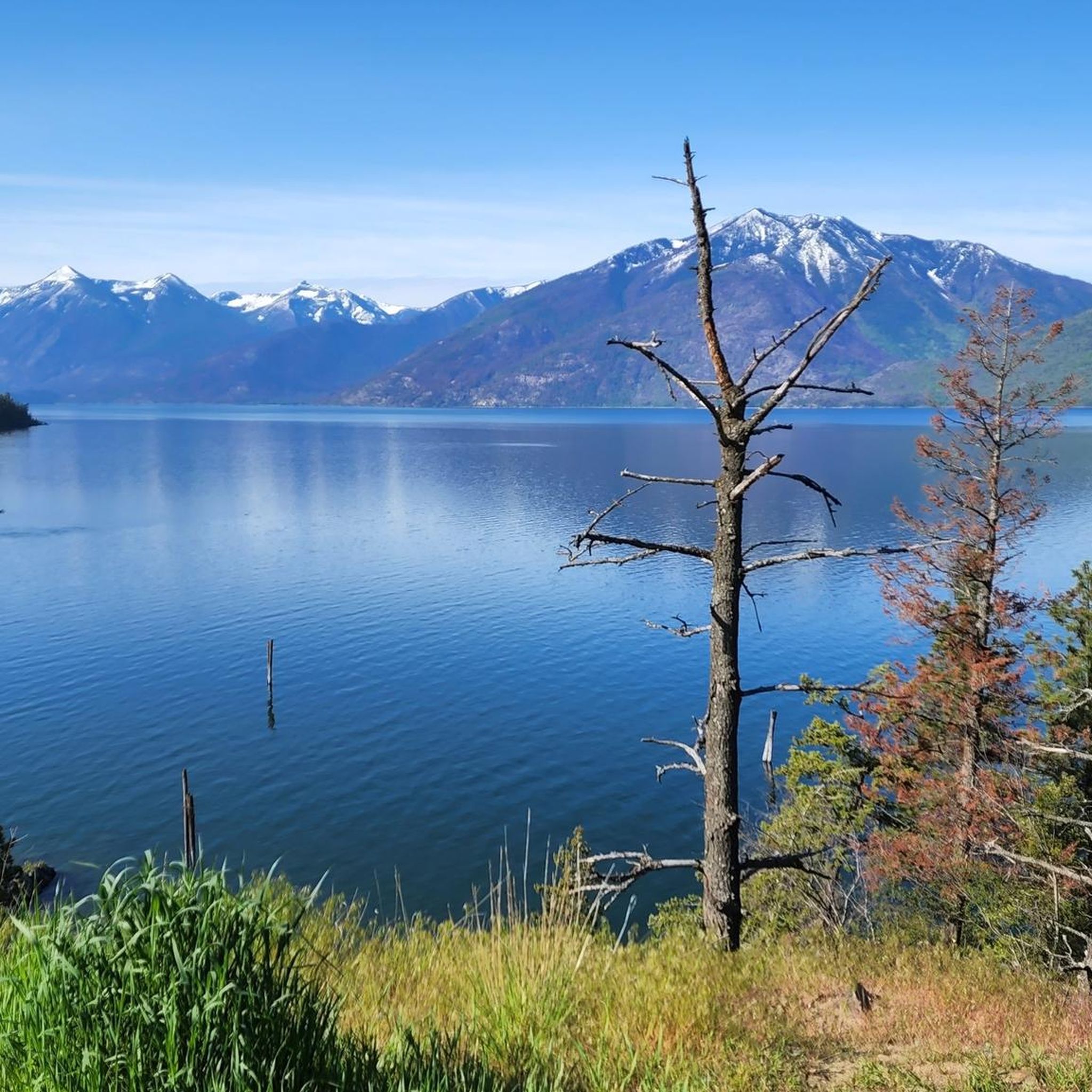
Road cycling around Area E (Balfour/Cottonwood Lake) offers diverse routes through a landscape characterized by prominent lakes, mountains, and forests. The region, located south of Nelson, features smoothly paved, winding roads along the waterfront of Kootenay Lake and well-maintained highways. Cyclists encounter varying distances and elevation gains, with hills becoming more pronounced in areas like the North Shore of Kootenay Lake. The terrain includes sections near Cottonwood Lake Regional Park, nestled within the Selkirk Mountains.
Best road cycling routes around…
Last updated: July 10, 2026
30
riders
65.3km
02:56
590m
590m
Moderate road ride. Good fitness required. Some segments of this route may be unpaved and difficult to ride.
23
riders
37.5km
01:36
320m
320m
Moderate road ride. Good fitness required. Mostly well-paved surfaces and easy to ride.

Sign up for free
5.0
(1)
26
riders
84.3km
03:43
800m
800m
Moderate road ride. Good fitness required. Mostly well-paved surfaces and easy to ride.
15
riders
51.3km
02:29
670m
670m
Moderate road ride. Good fitness required. Some segments of this route may be unpaved and difficult to ride.
9
riders
43.8km
01:59
460m
450m
Moderate road ride. Good fitness required. Some segments of this route may be unpaved and difficult to ride.
Get access to more routes and recommendations from other explorers.
Sign up for free
Already have an account?
Our route recommendations are based on thousands of hikes, rides, and runs completed by other people on komoot.
Start today with a free account
Your next adventure awaits.
Login or Signup
Popular around Area E (Balfour/Cottonwood Lake)
Frequently Asked Questions
What is the overall difficulty level of road cycling routes in Area E (Balfour/Cottonwood Lake)?
Area E offers a diverse range of road cycling routes. You'll find options for various fitness levels, including 8 moderate routes and 4 more challenging routes. There is also 1 easy route available for those seeking a gentler ride.
Are there options for beginner road cyclists in Area E?
Yes, there is at least one easy road cycling route available in Area E. Many of the moderate routes, especially those on smoothly paved surfaces along Kootenay Lake, can also be suitable for beginners looking for a slightly longer ride with manageable elevation changes.
How many road cycling routes are available in Area E (Balfour/Cottonwood Lake)?
There are 13 road cycling routes around Area E (Balfour/Cottonwood Lake) documented on komoot, offering a variety of distances and terrains.
What scenic viewpoints can I expect along road cycling routes in Area E?
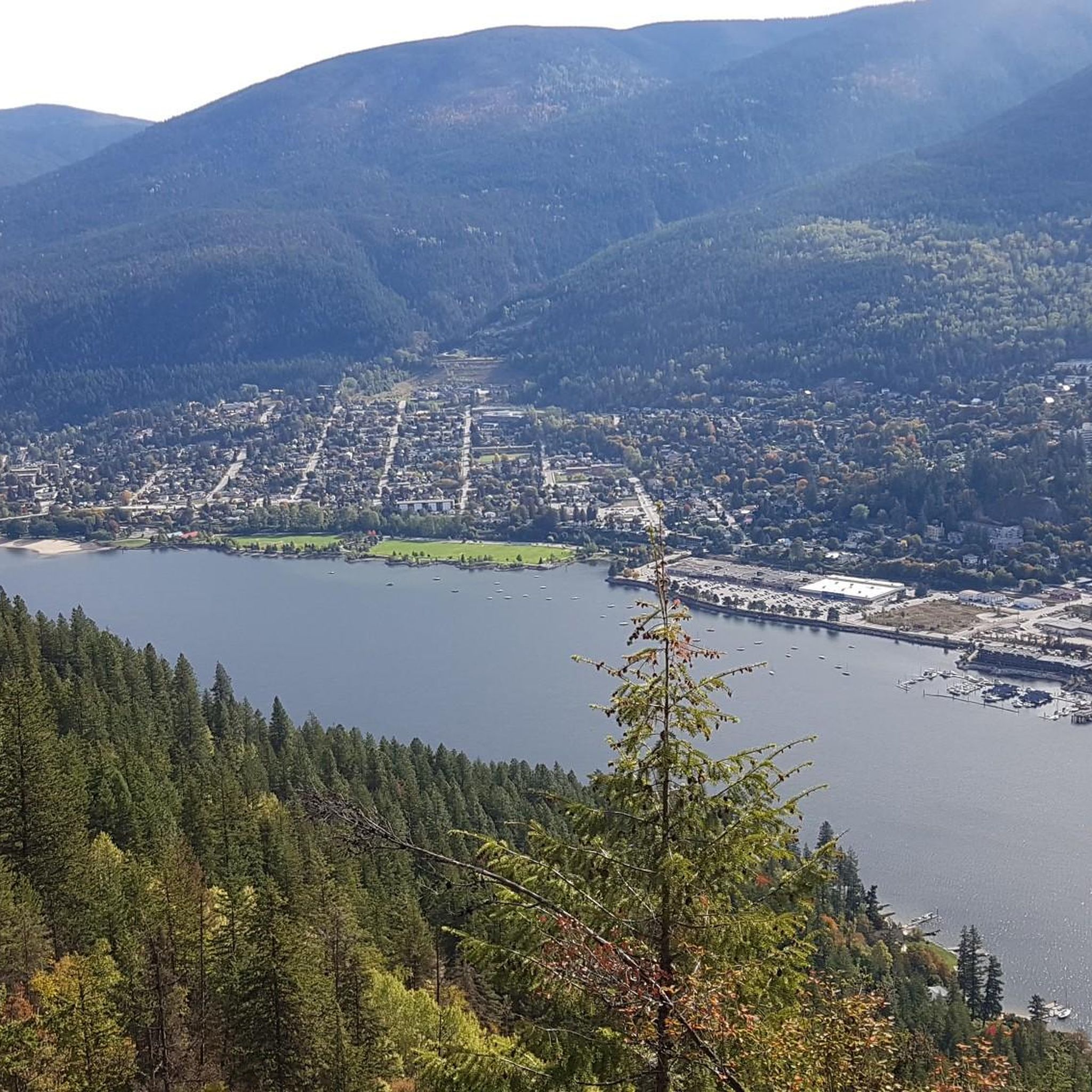
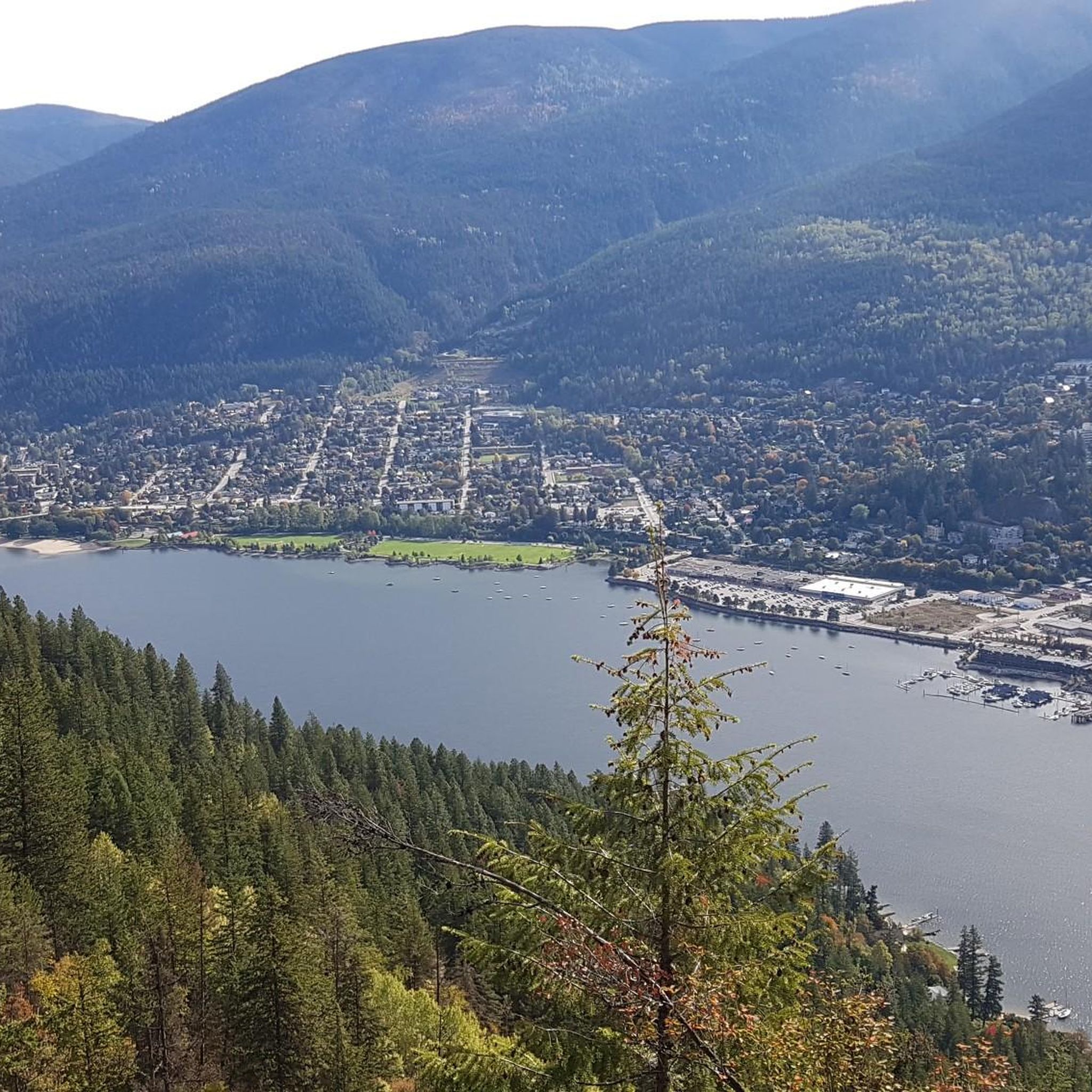
Many routes offer stunning views of Kootenay Lake and the surrounding Selkirk Mountains. A notable viewpoint is the View of Nelson from Pulpit Rock, which can be incorporated into rides originating closer to Nelson. The entire region is known for its picturesque lake and mountainous scenery.
Are there any interesting landmarks or attractions near the road cycling routes?
Yes, the region is rich in natural beauty and attractions. You can explore Cottonwood Lake Regional Park, known for its old-growth trees and waterfront access. The Gray Creek Pass offers a challenging climb with rewarding vistas. Additionally, the Kootenay Lake Ferry, a free service, is a scenic attraction in itself.
Can I cycle along Kootenay Lake?
Absolutely. Many road cycling routes in Area E feature smoothly paved, winding roads along the waterfront of Kootenay Lake. The North Shore of Kootenay Lake, in particular, offers varying distances and elevation gains, with hills becoming more pronounced between Balfour and Kaslo.
Are there any loop road cycling routes in the Balfour area?
Yes, loop routes are a popular way to experience the region. For example, the Crescent Bay – Roberts Bay loop from Balfour is a moderate 40.6-mile (65.3 km) ride that offers paved surfaces along the Kootenay Lake waterfront. Another option is the Norns Creek – Crescent Valley Beach loop from South Slocan.
Are the road cycling routes mostly paved?
Yes, the road cycling routes in Area E are primarily on smoothly paved surfaces, including well-maintained highways and winding roads along the Kootenay Lake waterfront. Some longer or more challenging routes might have short unpaved segments, but the core experience is paved.
Where can I find parking for road cycling routes in Area E?
Parking is generally available at key access points for routes, such as in Balfour itself or near Cottonwood Lake Regional Park. For routes starting from Nelson, various parking options exist within the town. Specific parking details can often be found on individual route pages.
Is public transport available to access road cycling routes?
While specific public transport options directly to trailheads might be limited, the Kootenay Lake Ferry offers a unique way to traverse the lake and can be incorporated into multi-day cycling adventures. For routes starting from Nelson, local transit might provide access to certain areas, but it's best to check schedules and bike-carrying policies in advance.
Are there family-friendly road cycling options?
For families, routes with less elevation gain and smoother, quieter roads are ideal. The paved sections along Kootenay Lake, particularly those closer to Balfour or Cottonwood Lake Regional Park, can offer pleasant and manageable rides for families. Always check the route's difficulty and elevation profile before heading out.
What is the best time of year for road cycling in Area E?
The best time for road cycling in Area E is typically from spring through fall. During these seasons, the weather is generally mild, and the roads are clear of snow and ice. Summer offers warm temperatures, while spring and fall provide vibrant foliage and cooler riding conditions. Always check local weather forecasts before your ride.
What do other road cyclists enjoy most about the routes in Area E?
The komoot community highly rates the road cycling experience in Area E, with an average score of 5.0 stars. Cyclists often praise the stunning natural beauty, including the prominent lakes, mountains, and lush forests, as well as the smoothly paved, winding roads along the Kootenay Lake waterfront.
Are there any challenging multi-day road cycling routes in the region?
For ambitious cyclists, the broader West Kootenay region offers multi-day routes like the Glacier Loop (Nelson, Balfour, Kaslo, New Denver, Silverton, Slocan, Winlaw, Crescent Valley, Nelson) and the Salmo Creston Loop, which includes Canada's highest four-season highway, the Salmo Creston Pass, offering spectacular vistas.
Most popular routes around Area E (Balfour/Cottonwood Lake)
Most popular attractions around Area E (Balfour/Cottonwood Lake)

Get inspired with the komoot mobile app


Explore more
Browse the best Road cycling routes in other regions.
