The best road cycling routes around Ritchot
5.0
(1)
103
riders
6
rides
Road cycling routes around Ritchot are characterized by the flat topography of the Red River Valley, offering accessible rides. The region's landscape is predominantly flat, making it suitable for covering distances with less elevation gain. The Red River is a significant natural feature, with routes often providing views of the tranquil riverine environment. This area provides a blend of natural features and local attractions for road cyclists.
Best road cycling routes around Ritchot
- The most popular road cycling route is…
Last updated: June 27, 2026
54
riders
Moderate road ride. Good fitness required. Some segments of this route may be unpaved and difficult to ride.
5
riders
27.7km
01:24
20m
20m
Easy road ride. Great for any fitness level. Mostly well-paved surfaces and easy to ride.

Sign up for free
5
riders
11.6km
00:35
10m
10m
Easy road ride. Great for any fitness level. Mostly well-paved surfaces and easy to ride.
4
riders
Moderate road ride. Good fitness required. Some segments of this route may be unpaved and difficult to ride.
3
riders
19.9km
00:54
10m
10m
Easy road ride. Great for any fitness level. Mostly well-paved surfaces and easy to ride.
Our route recommendations are based on thousands of hikes, rides, and runs completed by other people on komoot.
Start today with a free account
Your next adventure awaits.
Login or Signup
Popular around Ritchot

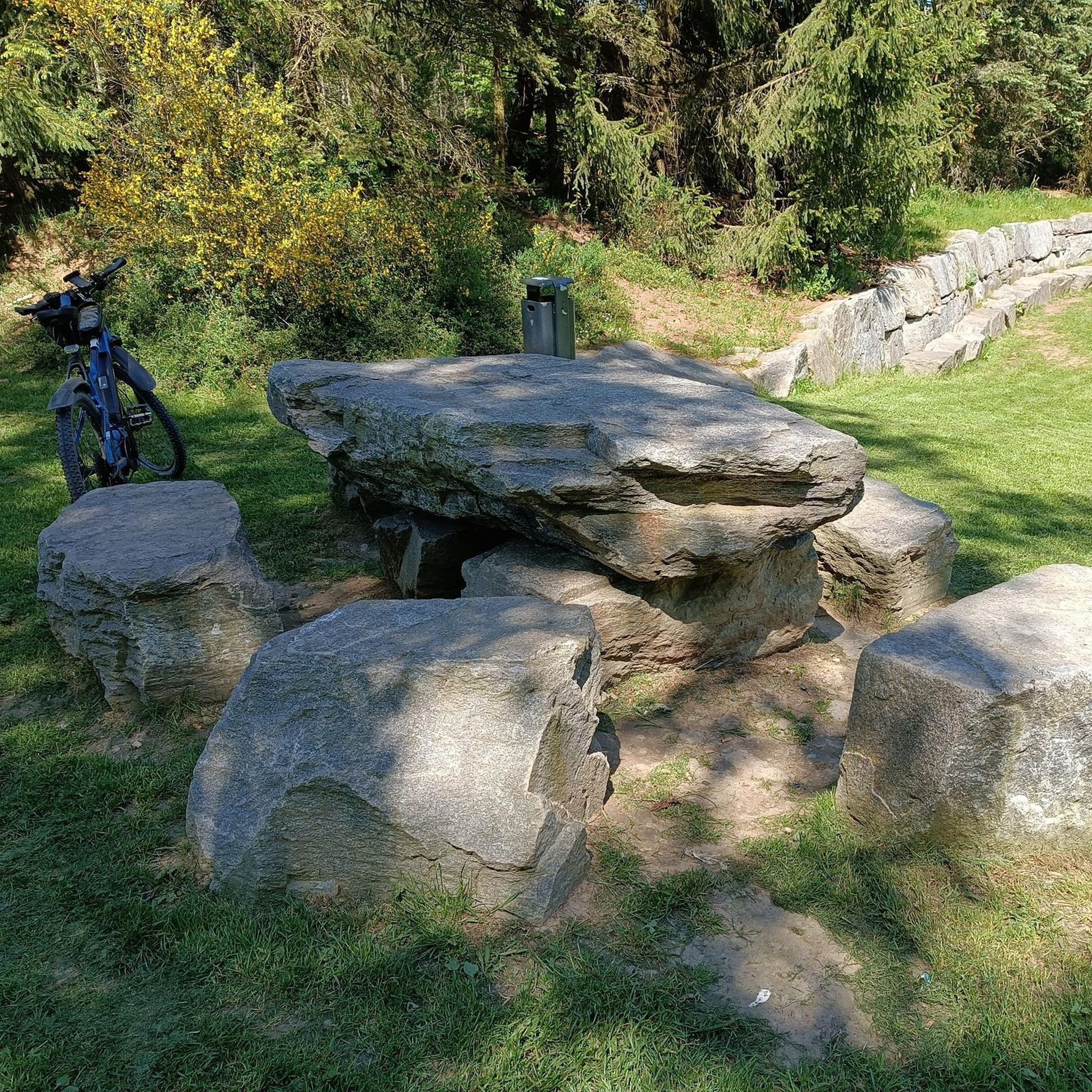
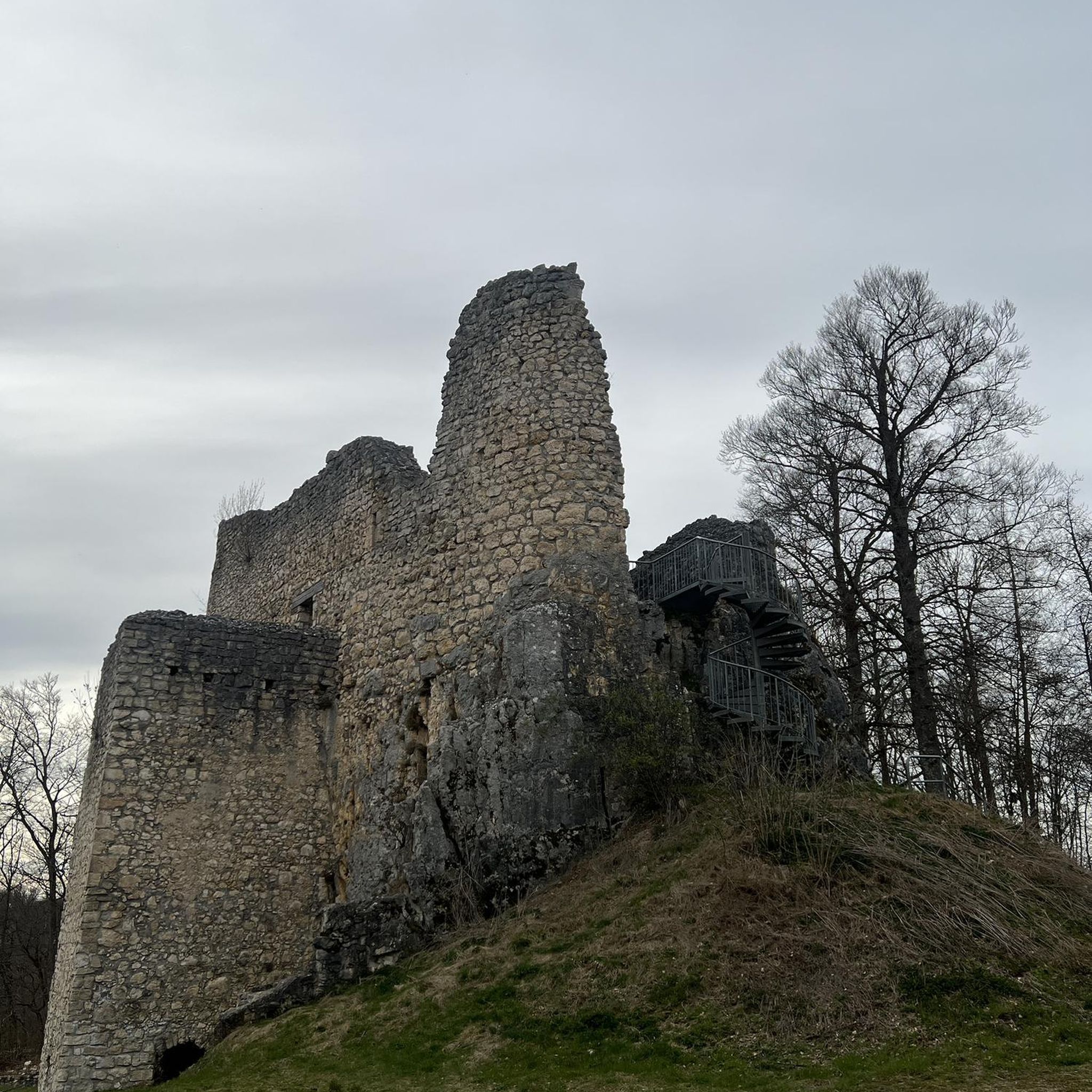
Tips from the Community

The Red River is a broad, slow-moving body of water, fed by snowy mountains and flowing through mellow prairie land. The water levels will be higher in spring and flowing stronger. Watch out for alerts when the water level is high, as parts of the Saint Adolphe Friendship Trail can sometimes be subjected to flooding.
0
0
The quaint community of Saint Adolphe sits just south of Winnipeg and due east of the Red River, surrounded by quiet prairie. This rural town has French roots, and though not a crowded tourist destination, it's a cute town to stop in. From this part of the Saint Adolphe Friendship Trail is the closest access point to town for food and drink. Take Saint Paul Road east for a few blocks, and you'll find a few affordable restaurants.
0
0

This small park sits at the foot of Winnipeg's historic Maryland Bridge. You'll have access to the Assiniboine River as well as open grassy areas, and the pedestrian & cycle crossings that run along the bridge.
0
0

The Forks is the heart of Winnipeg. Frequented by Indigenous peoples thousands of years ago, it is now home to a pleasant park on the banks of the Red and Assiniboine Rivers, the Canadian Museum for Human Rights, and a lively market hall with shops and restaurants.
0
0

Fort Gibraltar is a replica of the 1809 North West Company trading post that once stood near the junction of the Red and Assiniboine rivers. Rebuilt in 1978 by the Festival du Voyageur, it serves as an interpretive site that illustrates Métis culture and the fur trade era. Today, the fort hosts educational programs and cultural events and plays a central role in the annual Festival du Voyageur.
0
0
This is a beautiul spot with a lovely bench situated right along the river, where you can take in the view of its forested banks and the gently flowing water as it passes you by. It’s the perfect place for a scenic short break or a trailside snack, and is especially beautiful in the late afternoon when the light hits the river just right.
0
0
Crescent Drive Park is a beautiful 25-hectare riverside green space, with mature trees, quiet trails, and open picnic areas. There is a year-round pavilion with a fireplace and patio, a 9-hole golf course at its centre, a playground, and a network of walking paths with access to the Red River, making it a popular spot for relaxed strolls, family gatherings, and year-round outdoor enjoyment.
0
0
Sturgeon Creek is a beautiful, winding tributary of the Assiniboine River that flows through Winnipeg’s St. James area. Lined with trees, grasses, and restored wetlands, it supports a wide variety of fish, birds, and other urban wildlife. The creek’s natural corridor also provides a scenic backdrop for trails and parks along its course through the city.
0
0
Frequently Asked Questions
How many road cycling routes are available in Ritchot?
Komoot offers over 5 road cycling routes around Ritchot. These routes cater to various preferences, from shorter loops to longer rides, all within the flat topography of the Red River Valley.
What is the typical terrain like for road cycling in Ritchot?
The terrain in Ritchot is predominantly flat, characteristic of the Red River Valley. This makes for generally easy and enjoyable road cycling, allowing riders to cover distances with less exertion compared to hilly areas. You'll find paved backcountry roads and stretches of highway suitable for cycling.
Are there any easy road cycling routes suitable for beginners in Ritchot?
Yes, Ritchot offers several easy road cycling routes perfect for beginners. For example, the Pancoe Pond loop from St. Boniface—St. Vital is a 7.2-mile (11.6 km) trail leading through local park areas, often completed in about 35 minutes. Another easy option is the Roadbike loop from Winnipeg South.
Can I find longer road cycling routes in the Ritchot area?
Yes, for those looking for longer rides, Ritchot and its surroundings offer moderate routes. The Assiniboine Park Zoo – Kettle Sculpture in Winnipeg loop from Train Ride is a 45.7-mile (73.5 km) trail, and the Manitoba Railway Museum – Esplanade Riel Footbridge loop from Winnipeg covers 40.5 miles (65.1 km), both offering extensive riding through the Red River Valley.
What kind of natural features or landmarks can I expect to see while cycling in Ritchot?
While cycling in Ritchot, you'll primarily experience the tranquil prairie landscapes and views of the Red River. The region's flat topography provides open vistas. The Manitoba Railway Museum – Esplanade Riel Footbridge loop from Winnipeg, for instance, features views of the Red River and urban landscapes.
Is the St. Adolphe Friendship Trail suitable for road cycling?
The St. Adolphe Friendship Trail is a 2.7 km loop along the Red River, primarily designed for walking and relaxation. While casual cycling is possible, it's more suited for leisurely rides than dedicated road cycling, offering a tranquil riverine environment.
Are there any family-friendly road cycling options in Ritchot?
Given the predominantly flat terrain, many of Ritchot's road cycling routes can be considered family-friendly, especially the shorter, easier loops. The Pancoe Pond loop from St. Boniface—St. Vital is a good example of a shorter, accessible route through park areas.
What is the best time of year for road cycling in Ritchot?
The best time for road cycling in Ritchot is typically from spring through fall, when the weather is mild and roads are clear of snow and ice. The flat terrain makes it enjoyable during these seasons, allowing you to appreciate the prairie and river views.
Where can I park my car when accessing road cycling routes in Ritchot?
Parking availability varies by route. For community trails like the St. Adolphe Friendship Trail, local parking is usually available. For longer road cycling routes that might start from urban centers like Winnipeg, you would typically find parking in those areas, often near parks or public access points.
Can I use public transport to reach cycling routes in Ritchot with my bike?
While Ritchot is a rural municipality, public transport options from Winnipeg might be limited for carrying bikes directly into Ritchot. It's advisable to check with Winnipeg Transit or regional transport services for their specific policies on bicycles, or consider driving to a starting point within Ritchot.
What do other road cyclists enjoy the most about road cycling in Ritchot?
The road cycling routes in Ritchot are highly rated by the komoot community, with an average score of 5.0 stars. Reviewers often praise the flat topography, which makes for accessible and enjoyable rides, and the scenic views along the Red River Valley.
Are there any specific points of interest or attractions near the cycling routes?
Beyond the cycling itself, you can explore local attractions. Near St. Adolphe, the historic Mennonite Landing at the confluence of the Red and Rat Rivers is a notable spot. For a unique seasonal experience, 'A Maze In Corn' offers various outdoor activities, especially known for its winter snow maze.
Most popular routes around Ritchot
Most popular attractions around Ritchot

Get inspired with the komoot mobile app


Explore more
Browse the best Road cycling routes in other regions.
