The best walks and hikes around Area E (Naramata/Greyback)
4.7
(78)
861
hikers
62
hikes
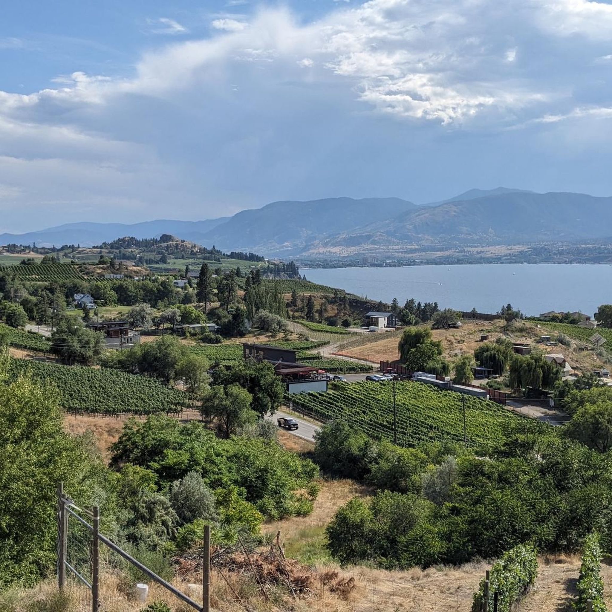
Hiking around Area E (Naramata/Greyback) offers diverse landscapes, including views of Okanagan Lake, vineyards, and the Monashee Mountains. The terrain features varied ecosystems, from bunchgrass and ponderosa pine zones to interior Douglas fir forests. Canyons, waterfalls, and rugged wilderness areas characterize the region, alongside rock bluffs and grasslands. These natural features provide a range of environments for outdoor exploration.
Best hiking trails around Area E (Naramata/Greyback)
- The most popular hiking route is Little Tunnel and Naramata Falls via Kettle Valley…
Last updated: November 15, 2026
5.0
(1)
32
hikers
11.2km
03:01
140m
140m
Moderate hike. Good fitness required. Easily walkable paths.
4.0
(2)
12
hikers
1.91km
00:36
80m
80m
Easy hike. Easily walkable paths.

5
hikers
6.73km
01:52
130m
120m
Easy hike. Easily walkable paths.
5.0
(1)
28
hikers
Easy hike. Easily walkable paths.
5.0
(1)
22
hikers
4.82km
01:13
10m
10m
Easy hike. Easily walkable paths.
Get access to more routes and recommendations from other explorers.
Already have an account?
Our route recommendations are based on thousands of hikes, rides, and runs completed by other people on komoot.
Start today with a free account
Your next adventure awaits.
Tips from the Community

Sufferin to DQ is a classic Campbell Mountain connector with a name that tells you exactly what to expect: a steady climb with a little bite. The trail works its way up through dry hillside and singletrack toward the old DQ table, where the views give your legs a reason to forgive you.
0
0
The Whoop! Trail brings a playful twist to Campbell Mountain, following a fast, flowy singletrack once called “Whoop-dee-doo.” It’s a lively tree-covered hillside section, but stay sharp on corners: this is a popular mountain bike trail too.
0
0

This trail follows the flow of its eponymous creek towards the beautiful waterfall that plunges over the cliffside. It's roughly 1 kilometer long but has enough elevation gain and tricky sections to keep even experience hikers on their toes. You can hike this as an out and back to the falls, or connect to the Kettle Valley Rail Trail for a longer day out.
0
0

Little Tunnel along the Kettle Valley River Rail Trail. It's the first tunnel you get to when you're riding East out of Penticton. Great spot to take in the views of Okanagan Lake or take a break, the trail surface is asphalt by the tunnel, but gravel elsewhere.
0
0

A family-run brewery that produces European-style beers using barley grown on the property. Located among vineyards and wineries right on the Kettle Valley Rail Trail. Enjoy the sun on the patios with an ice-cold craft beer and pizza with spectacular views of the Naramata Bench along the Kettle Valley Rail Trail. Discover the magic of award-winning beer, great people and unforgettable experiences. A wonderful place where everyone can relax and feel good.
0
0

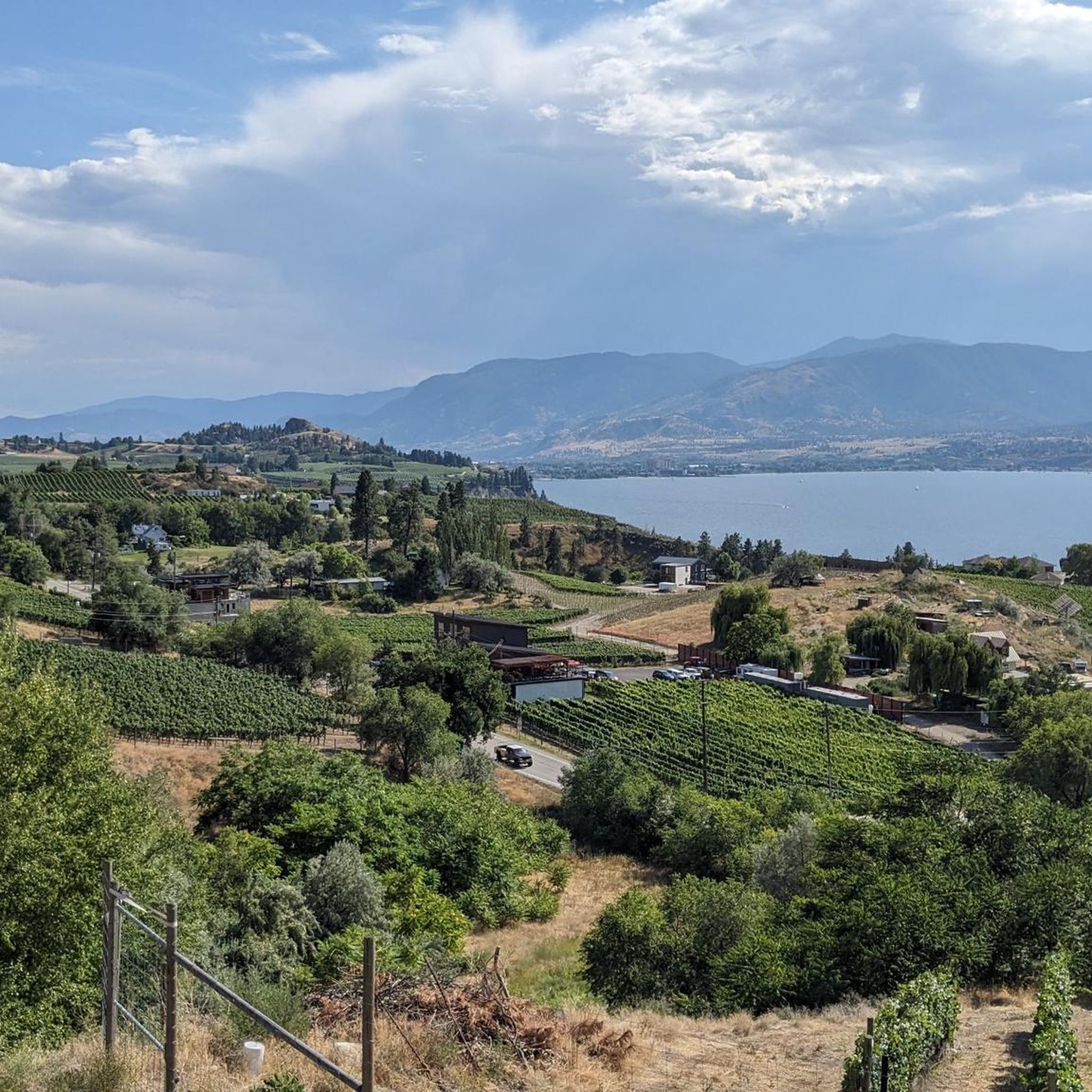
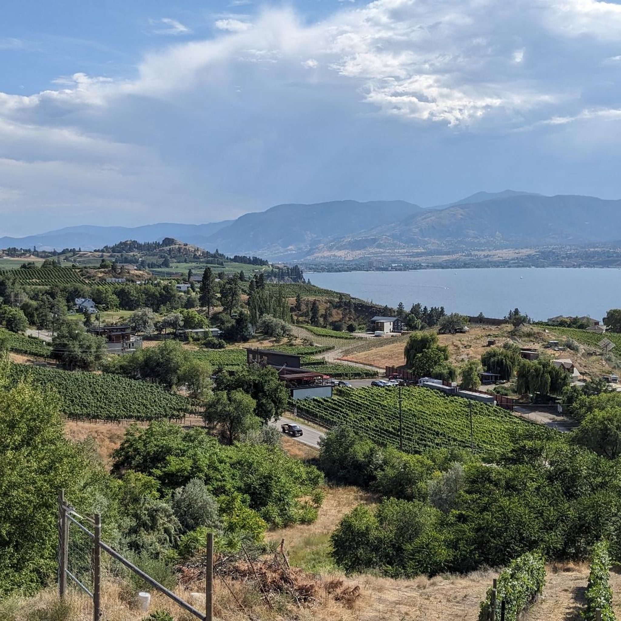
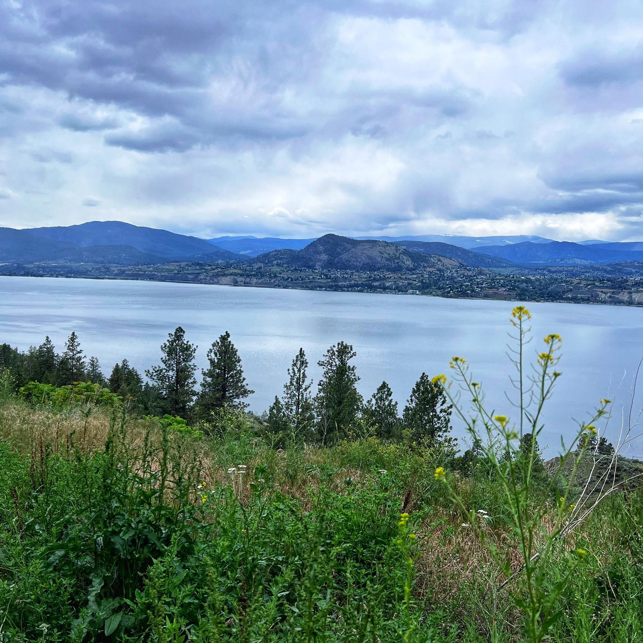
A former railway line is now a beautiful panoramic trail and extends beyond this section. Here you will meet cyclists, dogs, hikers. Here and there there is a bench with a fantastic view of Okanagan Lake.
1
0
The climb is steep and is not recommended in wet weather. But the effort is worth it because the waterfalls are enormous. The trail itself is beautifully enchanted and requires very sure-footedness.
1
0

A park in memory of the fallen soldiers
0
0
Frequently Asked Questions
How many hiking trails are there in Area E (Naramata/Greyback)?
Area E (Naramata/Greyback) offers a wide variety of hiking opportunities, with over 45 trails available. These range from easy strolls to more challenging routes, ensuring options for every skill level.
What kind of terrain can I expect on the trails in Area E (Naramata/Greyback)?
The region boasts diverse terrain, from the flat, well-maintained paths of the Kettle Valley Rail Trail to rugged wilderness in Okanagan Mountain Provincial Park. You'll encounter deeply incised meltwater channels, rock bluffs, grasslands, and forests of ponderosa pine, Douglas fir, and spruce. Some trails also feature shaded canyons and creeksides.
Are there any trails with waterfalls in Area E (Naramata/Greyback)?
Yes, Naramata Creek Park offers a refreshing hike through a cool, shaded canyon that leads to a picturesque cascading waterfall. The route Little Tunnel and Naramata Falls via Kettle Valley Rail Trail — Naramata incorporates this feature.
Are there family-friendly hiking options in Naramata/Greyback?
Absolutely. Many trails in Area E are suitable for families, including easy, stroller-friendly paths. The Sun-Oka Beach and Trout Creek loop is an easy option featuring lakeside and creek-side scenery, perfect for a relaxed family outing.
What are the best times of year to hike in Area E (Naramata/Greyback)?
Area E offers year-round access for outdoor activities. While summer is ideal for hiking, the region also provides opportunities for snowshoeing in winter. Spring brings powerful waterfalls, and fall offers beautiful foliage, making it an appealing destination in any season.
Are there any dog-friendly trails in the Naramata/Greyback area?
Many trails in Area E (Naramata/Greyback) are dog-friendly, allowing you to enjoy the outdoors with your canine companion. It's always recommended to keep dogs on a leash and check specific park regulations before heading out.
Can I find trails with great viewpoints of Okanagan Lake?
Yes, many trails in Area E offer incredible views of Okanagan Lake, often framed by vineyards, orchards, and the distant Monashee Mountains. Climbing to the summit of Okanagan Mountain within Okanagan Mountain Provincial Park provides spectacular scenic lake views. The View of Okanagan Lake highlight is a popular spot.
Are there any circular hiking routes in Area E (Naramata/Greyback)?
Yes, there are several circular routes available. For example, the Sun-Oka Beach and Trout Creek loop offers an easy, scenic circular walk. Another option is the Alice the Dinosaur – Abandoned Rail Brewing Co. loop from Uplands.
What historical landmarks can I see along the trails?
The region is rich in history, particularly along the Kettle Valley Rail (KVR) Trail. You can explore the historic Little Tunnel and the McCulloch Trestle. Okanagan Mountain Provincial Park also holds historical significance with archaeological sites and First Nations pictographs. The Adra Tunnel (Kettle Valley Railway) is another notable landmark.
What do other hikers enjoy the most about hiking in Area E (Naramata/Greyback)?
The area is highly rated by the komoot community, with an average score of 4.7 stars from over 40 reviews. Hikers often praise the stunning views of Okanagan Lake, the diverse natural landscapes, and the variety of trails suitable for different abilities, from the flat KVR to more rugged mountain paths.
Are there any challenging hikes for experienced hikers?
Yes, for those seeking a more rugged wilderness experience, Okanagan Mountain Provincial Park offers backcountry routes, alpine lakes, and challenging multi-day hikes. The terrain can be quite demanding, providing a true test for experienced hikers.
Where can I find parking for hiking trails in Naramata/Greyback?
Parking is generally available at trailheads for popular routes and provincial parks. For specific trails like those in Naramata Creek Park or access points to the Kettle Valley Rail Trail, designated parking areas are usually provided. It's advisable to check specific route details for precise parking information.
Are there any places to eat or drink near the hiking trails?
Naramata village and surrounding areas offer various amenities. Many local wineries are accessible directly from the Kettle Valley Rail Trail, providing unique 'hike and wine' experiences. You can also find cafes, pubs, and restaurants in nearby communities for post-hike refreshments.
Most popular routes around Area E (Naramata/Greyback)
Most popular attractions around Area E (Naramata/Greyback)

Get inspired with the komoot mobile app


Explore more
Browse the best Hikes in other regions.
