The best MTB trails around Salt Spring Island Electoral Area
4.8
(11)
209
riders
5
rides
Mountain biking around Salt Spring Island Electoral Area offers a diverse landscape of rugged coastline, lush forests, and challenging mountainous terrain. The region features a blend of gravel roads and developing trail networks, providing varied riding experiences. Riders can expect steep sections and panoramic views from higher elevations. This area is characterized by its blend of natural beauty and evolving mountain biking infrastructure.
Best mountain bike trails around Salt Spring Island Electoral Area
- The most popular mountain bike trail is Start of Phoem Trail – Maple Mountain Summit loop from North Cowichan Municipal Forest Reserve, a 9.8 miles (15.8 km) moderate trail that takes 1 hour 40 minutes to complete. This route offers a climb to a summit with potential for panoramic views.
- Another top favourite among local mountain bikers is Start of Phoem Trail loop from Crofton, a moderate 9.1 miles (14.6 km) path. This loop provides a solid ride through varied terrain.
- Local mountain bikers also love the View of Maple Bay – Start of Phoem Trail loop from Mount Tzuhalem Ecological Reserve, a 25.8 miles (41.6 km) trail leading through an ecological reserve and past Maple Bay, often completed in about 3 hours 49 minutes.
- Mountain biking around Salt Spring Island Electoral Area is defined by rugged coastlines, lush forests, and challenging mountainous terrain. The network offers options for easy, moderate, and difficult routes.
- The routes in Salt Spring Island Electoral Area are highly rated by the komoot community with an average score of 4.8 stars from more than 10 reviews. More than 200 mountain bikers have used komoot to explore Salt Spring Island Electoral Area's varied terrain.
Last updated: August 28, 2026
5.0
(1)
69
riders
Moderate mountain bike ride. Good fitness required. Suitable for all skill levels.
4.5
(2)
57
riders
14.6km
01:34
400m
400m
Moderate mountain bike ride. Good fitness required. Advanced riding skills necessary.

Sign up for free
5.0
(4)
41
riders
41.6km
03:49
1,080m
1,080m
Hard mountain bike ride. Very good fitness required. Advanced riding skills necessary. Some portions of the route may require you to push your bike.
4.7
(3)
36
riders
7.08km
00:47
210m
210m
Easy mountain bike ride. Great for any fitness level. Suitable for all skill levels.
5.0
(1)
6
riders
7.81km
01:24
330m
330m
Hard mountain bike ride. Good fitness required. Advanced riding skills necessary. Some portions of the route may require you to push your bike.
Our route recommendations are based on thousands of hikes, rides, and runs completed by other people on komoot.
Start today with a free account
Your next adventure awaits.
Login or Signup
Tips from the Community

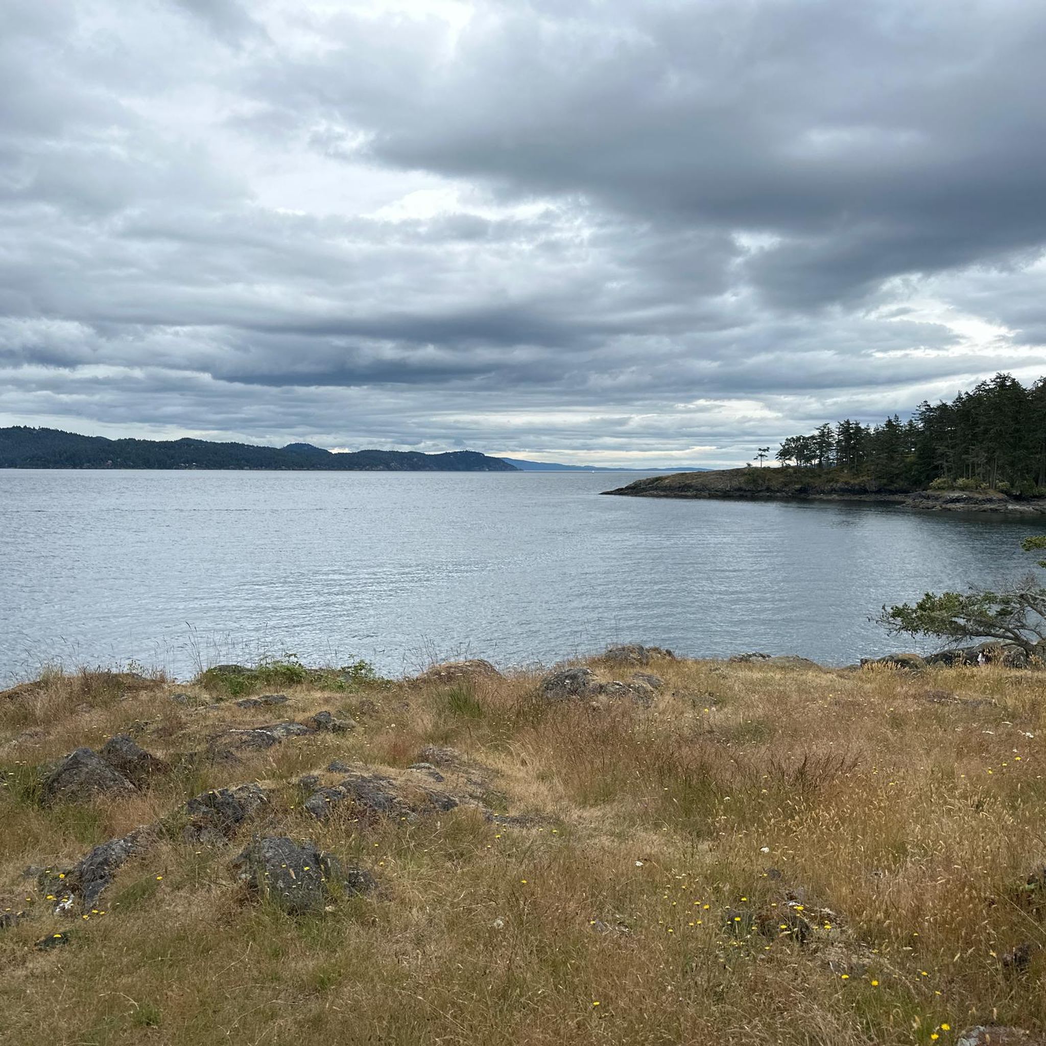
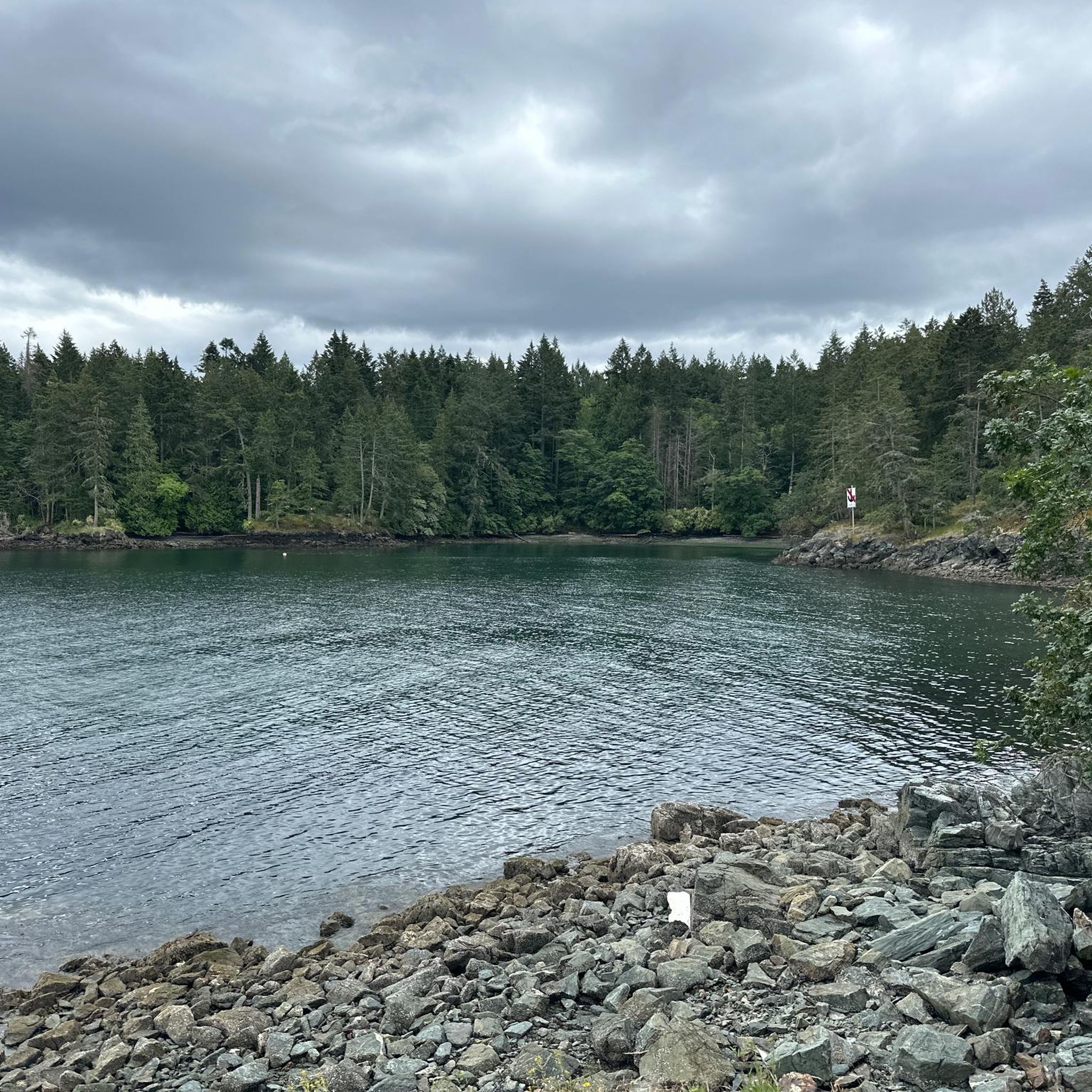
Maple Bay Beach is nestled in a small seaside community of a deep-water inlet in the Sansum Narrows. It is sheltered by surrounding land and Salt Spring Island, which usually gives it calmer waters.
0
0

The summit of Maple Mountain, with its views over BirdsEye Cove and Maple Bay, is a must-see destination for nature lovers visiting Vancouver Island. It offers a combination of outdoor activities, stunning landscapes and rich ecological diversity, making this area a perfect place to explore and enjoy.
1
0
Frequently Asked Questions
How many mountain bike trails are available in Salt Spring Island Electoral Area?
There are 7 mountain bike routes available in the Salt Spring Island Electoral Area, offering a mix of easy, moderate, and difficult options to explore the island's diverse terrain.
What is the general difficulty level of mountain biking trails on Salt Spring Island?
The trails on Salt Spring Island Electoral Area cater to various skill levels, with 3 easy, 2 moderate, and 2 difficult routes. This includes challenging gravel roads and some developing enduro-type trails, particularly around Mount Maxwell Provincial Park.
Are there any trails with significant elevation gain or panoramic viewpoints?
Yes, several trails offer significant climbs and rewarding views. For instance, the Start of Phoem Trail – Maple Mountain Summit loop from North Cowichan Municipal Forest Reserve includes a climb to the Maple Mountain Summit, providing panoramic vistas. Mount Maxwell Provincial Park is also known for its steep ascent to Baynes Peak, offering extensive views of the Gulf Islands, Vancouver Island, and the mainland.
What do other mountain bikers say about the trails in Salt Spring Island Electoral Area?
The mountain bike routes in Salt Spring Island Electoral Area are highly regarded by the komoot community, holding an average rating of 4.8 stars from over 10 reviews. Riders often appreciate the varied terrain, from rugged coastlines to lush forests, and the challenging mountainous sections.
Are there any family-friendly mountain bike trails on Salt Spring Island?
While many trails offer a challenge, there are easy options suitable for families. The Start of Phoem Trail loop from North Cowichan Municipal Forest Reserve is an easy route that provides a good introduction to mountain biking in the area without overly demanding sections.
What kind of natural features or landmarks can I expect to see along the trails?
Salt Spring Island offers diverse natural beauty. You can expect lush forests, meadows, and coastal views. Some trails lead to summits like Maple Mountain Summit, while others might pass by freshwater lakes such as St. Mary Lake or Cusheon Lake. Keep an eye out for wildlife, including birds, deer, and marine life in the surrounding waters.
Are there any circular mountain bike routes available?
Yes, many of the routes are designed as loops. For example, the Start of Phoem Trail loop from Crofton is a moderate circular path, and the more challenging View of Maple Bay – Start of Phoem Trail loop from Mount Tzuhalem Ecological Reserve also offers a substantial loop ride.
What is the best time of year to go mountain biking on Salt Spring Island?
Salt Spring Island is suitable for mountain biking for much of the year. While the island's climate is generally mild, spring and fall offer pleasant temperatures and vibrant scenery. Summer provides longer daylight hours, but trails can be dusty. Winter riding is possible, but some trails may be wet or muddy, requiring appropriate gear.
Are there any challenging trails for experienced mountain bikers?
Absolutely. For experienced riders seeking a challenge, trails like the Cobble Hill loop from Cobble Hill are rated as difficult. The island is also developing more dedicated 'enduro-type trails' and features steep sections, particularly in areas like Mount Maxwell Provincial Park, which will test your skills.
Are there opportunities to combine mountain biking with other activities, like visiting attractions or cafes?
Salt Spring Island's diverse landscape means you can often combine your ride with other activities. While specific cafes directly on trails are not listed, the island has various amenities in its towns. You can also explore nearby attractions like Ruckle Provincial Park for coastal views or Mount Erskine Provincial Park, known for its scenic trails and 'fairy doors,' after your ride.
What should I consider regarding trail conditions during wet weather?
During wet weather, trails on Salt Spring Island can become muddy and slippery, especially in forested areas and on steep descents. It's advisable to check local conditions before heading out and to ride with appropriate tires and gear. Some trails, particularly those with gravel sections, may hold up better than singletrack in damp conditions.
Is there public transport access to mountain biking areas, or is parking generally available?
While Salt Spring Island has some public transport options, direct access to all mountain biking trailheads via public transport might be limited. Many riders opt for personal vehicles. Parking availability can vary by trailhead; it's generally advisable to check specific starting points for designated parking areas, especially at popular spots like Mount Maxwell Provincial Park.
Most popular routes around Salt Spring Island Electoral Area
Most popular attractions around Salt Spring Island Electoral Area

Get inspired with the komoot mobile app


Explore more
Browse the best MTB trails in other regions.
