The best running trails around Abbotsford
4.8
(18)
336
runners
15
runs
Jogging routes around Abbotsford offer diverse terrain within British Columbia's Fraser Valley, nestled between mountain ranges and the Fraser River. The region features a mix of natural environments, including river shorelines, forested areas, and developed green spaces. Trails range from paved corridors and gravel dikes to more challenging mountain paths with significant inclines. This varied landscape provides numerous opportunities for runners to explore the area's natural beauty.
Best jogging routes around Abbotsford
- The most popular jogging route is Sumas Mountain Viewpoint – Sumas Mountain Regional Park loop from Camp Sumas, a difficult 19.8 miles (31.8 km) trail that takes 4 hours 26 minutes to complete. This challenging route offers significant elevation gain through mountain terrain.
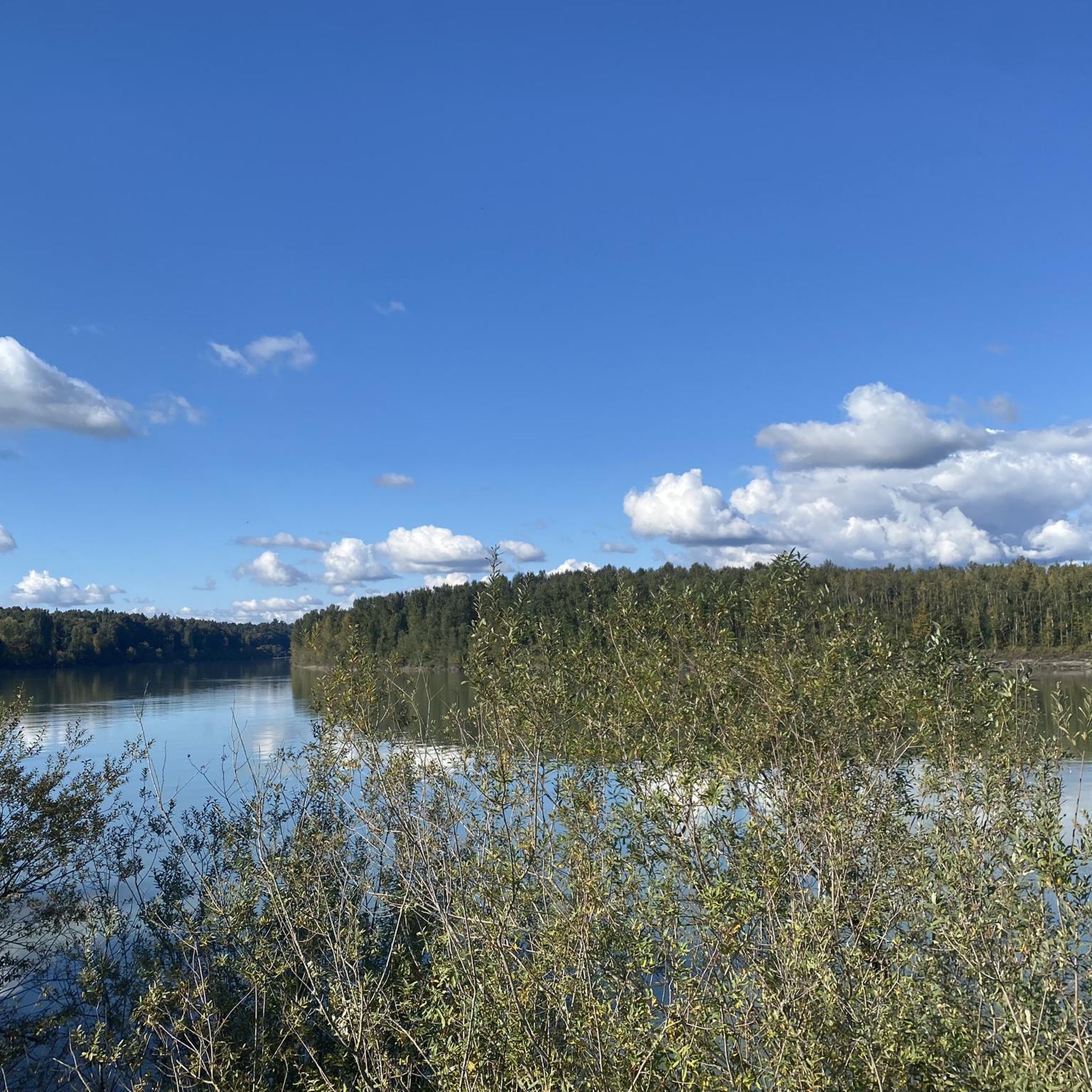
- Another top favourite among local runners is Matsqui Trail Regional Park – Trail Bridge loop from Mission City, a moderate 4.8 miles (7.7 km) path. This route follows the Fraser River, providing scenic views along a gravel dike.
- Local runners also love the Abbotsford Exhibition Park loop from Abbotsford, a 3.4 miles (5.5 km) trail leading through parkland, often completed in about 35 minutes.
- Jogging around Abbotsford is defined by Fraser River shorelines, mountain trails, and green parklands. The network offers options for various ability levels, from easy park loops to strenuous mountain climbs.
- The routes in Abbotsford are highly rated by the komoot community with an average score of 4.8 stars from over 10 reviews. More than 400 runners have used komoot to explore Abbotsford's varied terrain.
Last updated: November 4, 2026
29
runners
30.5km
04:27
1,200m
1,200m
Hard run. Very good fitness required. Sure-footedness, sturdy shoes and alpine experience required.
11
runners
7.67km
00:47
20m
20m
Moderate run. Good fitness required. Mostly paved surfaces.

8
runners
Moderate run. Good fitness required. Mostly paved surfaces.
8
runners
10.5km
01:32
440m
440m
Hard run. Very good fitness required. Mostly runnable paths. Some sure-footedness required.
5.0
(1)
9
runners
9.27km
01:17
410m
410m
Hard run. Very good fitness required. Mostly paved surfaces.
Get access to more routes and recommendations from other explorers.
Already have an account?
Our route recommendations are based on thousands of hikes, rides, and runs completed by other people on komoot.
Start today with a free account
Your next adventure awaits.
Tips from the Community

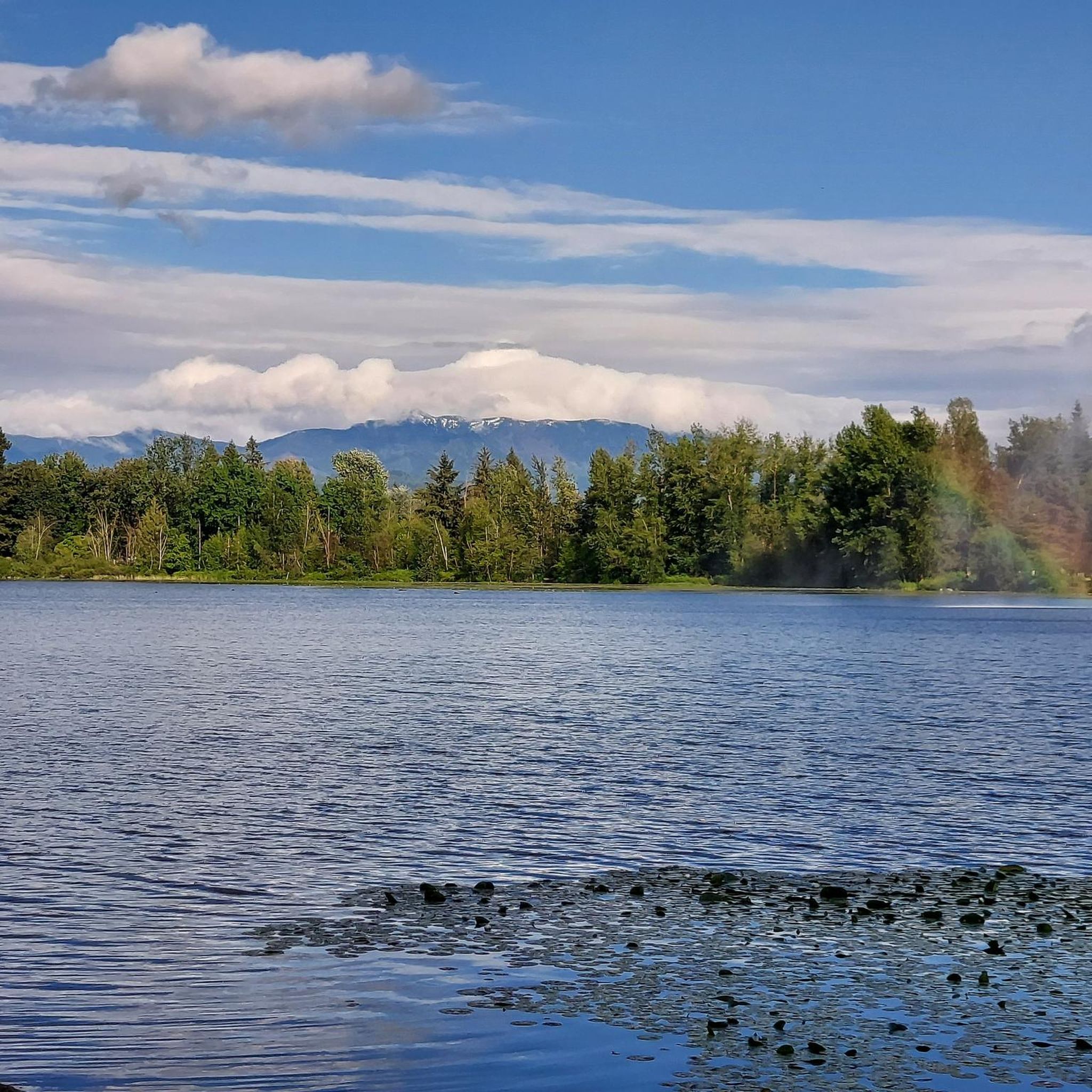
At 796 metres, Taggart Peak is a peaceful, forested summit in Sumas Mountain Regional Park, with a pair of communication towers marking the top. The trees keep the views partial, but if you look through the gaps, you’ll catch Mount Robie Reid, Golden Ears Peak, Sumas Peak and the Fraser Valley spread out below. If you’re here on a clear day, be sure to wander around the tower for a look at Mount Baker, a nice reward after the climb.
0
0

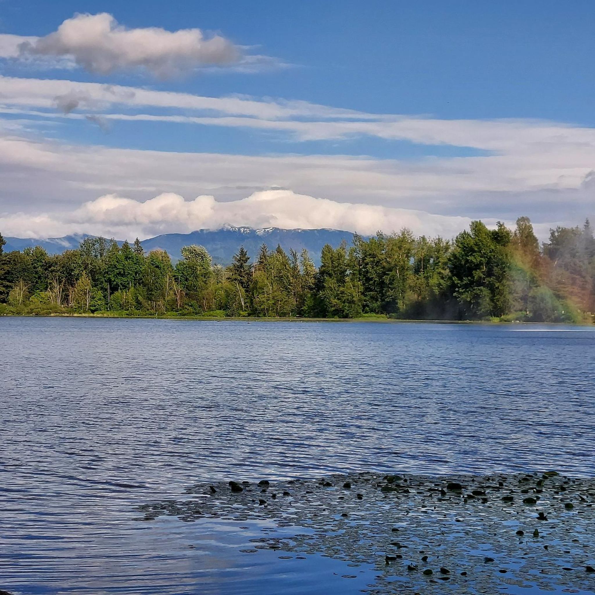
This is the true summit of Sumas Mountain. From here you stop climbing, but the view is a bit obstructed, so most like to continue along to Baker Rock for a clearer view.
0
0

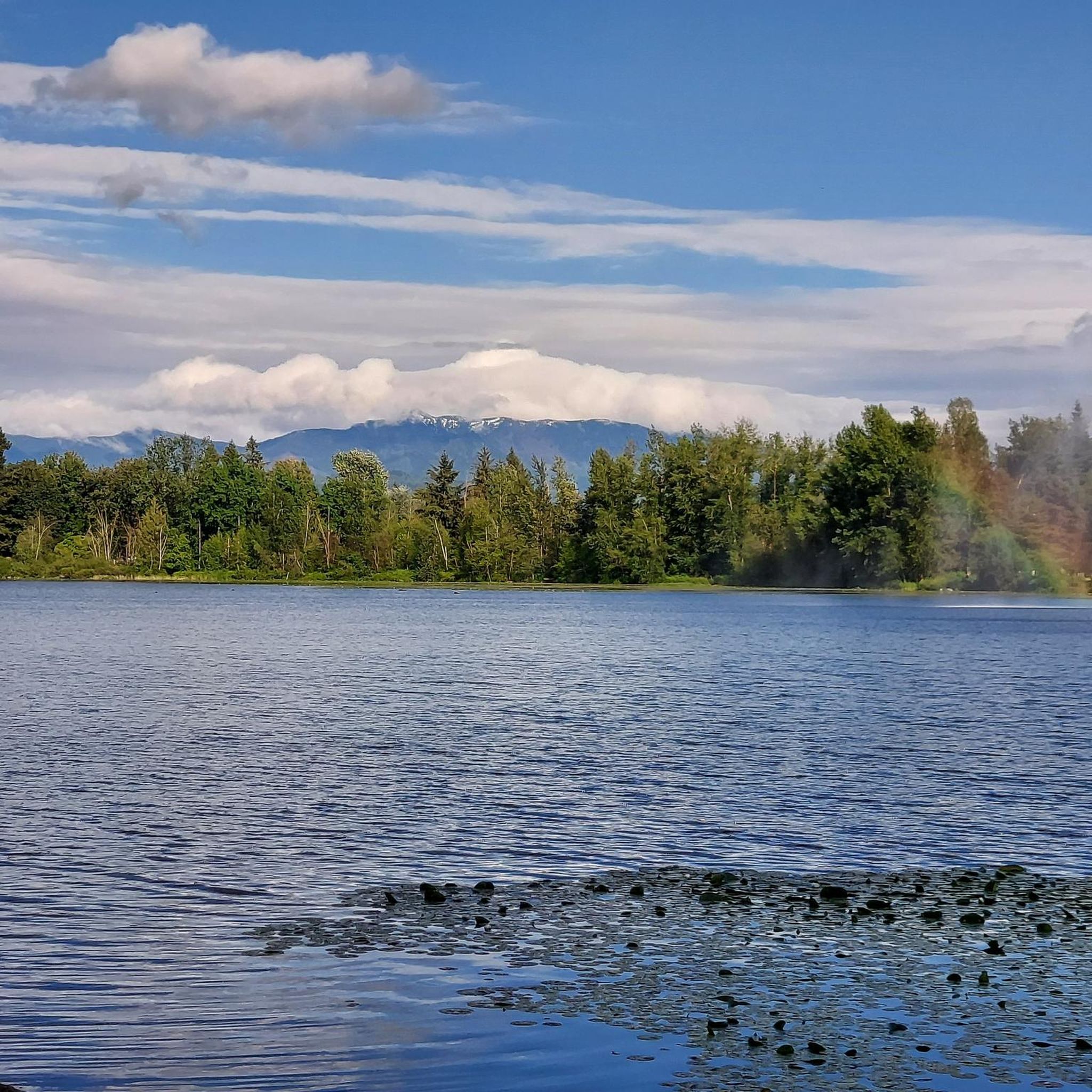
This trail is made from an old logging road and is one of the more straightforward routes to McKee Peak. There are dozens of trail in the area and it is quite easy to get turned around and end of on the wrong path, so be sure to download your maps and double check your routing any time you come to an intersection.
0
0
As the high point of McKee Park, McKee Peak offers great views over Abbotsford, the Fraser Valley, and surrounding mountains such as Mt. Robie & Mt. Judge Howay. There's a large communication tower to use as a landmark since the many trails around the summit can be confusing.
1
0

Tucked inside Abbotsford, Downes Bowl Park is a small but surprisingly wild pocket of nature. Once you leave the sports fields behind, the trail drops into a forested ravine known as “the bowl,” where a network of paths winds through woodland and marshland. Boardwalks and small bridges cross streams and wetland areas filled with plants like skunk cabbage, and it’s common to spot birds along the quiet trails. Even though the park sits near busy roads, the bowl itself feels peaceful and removed from the city.
0
0
Abbotsford Exhibition Park offers 148 acres of green space perfect for walking a loop, enjoying a picnic, or playing a game on one of the sports fields. With a network of nicely paved and unpaved paths winding through woodlands, open fields, and a duck‑filled pond, it’s a relaxed stop for a gentle stroll or a break during a longer walk. Be aware that occasional events may close sections of the park, so check the schedule if you’re passing through.
0
0
Frequently Asked Questions
What types of running terrain can I expect in Abbotsford?
Abbotsford offers a diverse range of running terrain. You'll find everything from paved corridors like the Discovery Trail, gravel dikes along the Fraser River, to more challenging mountain paths with significant inclines in areas like Sumas Mountain and McKee Peak. The region blends natural environments with developed green spaces, ensuring a varied experience.
Are there challenging running routes for experienced trail runners in Abbotsford?
Yes, Abbotsford has several challenging routes. For instance, the Sumas Mountain Viewpoint – Sumas Mountain Regional Park loop from Camp Sumas is a difficult 19.8-mile (31.8 km) trail with significant elevation gain, ideal for those seeking a strenuous mountain run. Another demanding option is the McKee Peak loop from McKee, which features substantial climbs.
What are some scenic viewpoints or natural attractions along Abbotsford's running trails?
Many routes offer beautiful scenery. Trails along the Fraser River, such as those in Matsqui Trail Regional Park, provide tranquil views of the river and the Cascade Mountains. Areas like Sumas Mountain offer sweeping vistas of the Fraser Valley. You can also explore highlights like Sumas Mountain Regional Park and Fishtrap Creek Park, known for its serene creekside paths.
Are there any family-friendly running paths in Abbotsford?
While the guide doesn't specifically list 'easy' routes, many of Abbotsford's green spaces and paved trails are suitable for families. Mill Lake Park is a popular local spot for running, and the Discovery Trail, a paved corridor spanning the community, is excellent for all ages and abilities. Shorter, moderate loops like the Abbotsford Exhibition Park loop from Abbotsford are also good options.
Can I find dog-friendly running trails in Abbotsford?
Abbotsford is generally very welcoming to outdoor activities with dogs. Many of the city's extensive trail systems and parks, including Matsqui Trail Regional Park and various green spaces, are suitable for running with your canine companion. Always ensure your dog is on a leash and follow local park regulations.
Are there running routes that feature lakes or other water bodies?
Yes, Abbotsford's trails often wind through areas with water features. Fishtrap Creek Park is noted for its serene creekside paths. Mill Lake Park is a well-known spot with a lake, and Albert Dyck Lake offers another pleasant running environment. You can also find highlights like Cultus Lake Park nearby.
What do other runners say about the trails in Abbotsford?
The running routes in Abbotsford are highly rated by the komoot community, with an average score of 4.8 stars from over 10 reviews. Runners frequently praise the varied terrain, from river shorelines to mountain trails, and the well-maintained green parklands that offer options for various ability levels.
Are there long-distance running options available in Abbotsford?
Absolutely. For those looking for longer runs, the Sumas Mountain Viewpoint – Sumas Mountain Regional Park loop from Camp Sumas is a significant 19.8-mile (31.8 km) trail. Matsqui Trail Regional Park also offers 16.86 kilometers of gravel dike and foreshore trail, part of the 'Great Trail,' which is excellent for extended runs.
Are there loop running routes in Abbotsford?
Yes, many of the running routes in Abbotsford are designed as loops, offering a convenient way to start and finish at the same point. Examples include the Matsqui Trail Regional Park – Trail Bridge loop from Mission City and the Abbotsford Exhibition Park loop from Abbotsford.
What are some notable landmarks or historical sites near the running trails?
While running, you might encounter various points of interest. The Discovery Trail includes interpretive signage about the local ecosystem. For historical context, the Fort-to-Fort Trail and the Fort Langley National Historic Site are nearby attractions that offer a glimpse into the region's past.
How many running routes are available in the Abbotsford area?
There are over 15 dedicated running routes available around Abbotsford, catering to a range of difficulties from moderate to difficult. These routes are spread across the diverse landscapes of the Fraser Valley.
What is the best time of year for jogging in Abbotsford?
Abbotsford's diverse landscapes make it suitable for jogging year-round, though spring and fall offer particularly pleasant temperatures and vibrant scenery. Summer is also popular, but it's advisable to run in the mornings or evenings to avoid the midday heat. Winter running is possible, but some higher elevation trails might have snow or ice.
Most popular routes around Abbotsford
Most popular attractions around Abbotsford

Get inspired with the komoot mobile app


Explore more
Browse the best Running Trails & Routes in other regions.
