The best running trails around Surrey
4.8
(8)
248
runners
35
runs
Jogging around Surrey offers diverse terrain, from the rolling hills of the Surrey Hills Area of Outstanding Natural Beauty to expansive parklands and serene riverside paths. The region is characterized by ancient woodlands, chalk heath, and numerous green spaces, providing varied environments for runners. This landscape includes challenging ascents like Box Hill and Leith Hill, as well as flatter routes along rivers and through urban parks.
Best jogging routes around Surrey
- The most popular jogging route is Serpentine River loop from Fleetwood—Port Kells, a 4.5 miles (7.2 km) trail that takes 45 minutes to complete, offering a moderate challenge along the river.
- Another top favourite among local runners is Elgin Heritage Park – Nicomekl River loop from South Surrey—White Rock, a moderate 6.5 miles (10.4 km) path. This route features forested trails and a boardwalk through marshlands along the Nicomekl River.
- Local runners also love the Running loop from Surrey Bend Regional Park, a 6.6 miles (10.7 km) trail leading through wetlands and along the Fraser River floodplain, often completed in about 1 hour 14 minutes.
- Jogging around Surrey is defined by rolling hills, expansive parklands, and serene rivers. The network offers options for different ability levels, from easy, flat paths to more challenging, undulating trails.
- The routes in Surrey are highly rated by the komoot community with an average score of 4.9 stars from 7 reviews. More than 250 runners have used komoot to explore Surrey's varied terrain.
Last updated: October 8, 2026
5.0
(1)
75
runners
5.51km
00:35
60m
60m
Moderate run. Good fitness required. Mostly paved surfaces. Suitable for all skill levels.
4.5
(2)
15
runners
10.7km
01:14
20m
20m
Moderate run. Good fitness required. Mostly paved surfaces. Suitable for all skill levels.

13
runners
8.51km
00:53
70m
70m
Moderate run. Good fitness required. Mostly paved surfaces. Suitable for all skill levels.
11
runners
10.5km
01:07
100m
100m
Moderate run. Good fitness required. Mostly paved surfaces. Suitable for all skill levels.
9
runners
Hard run. Very good fitness required. Mostly paved surfaces. Suitable for all skill levels.
Get access to more routes and recommendations from other explorers.
Already have an account?
Our route recommendations are based on thousands of hikes, rides, and runs completed by other people on komoot.
Start today with a free account
Your next adventure awaits.

Tips from the Community

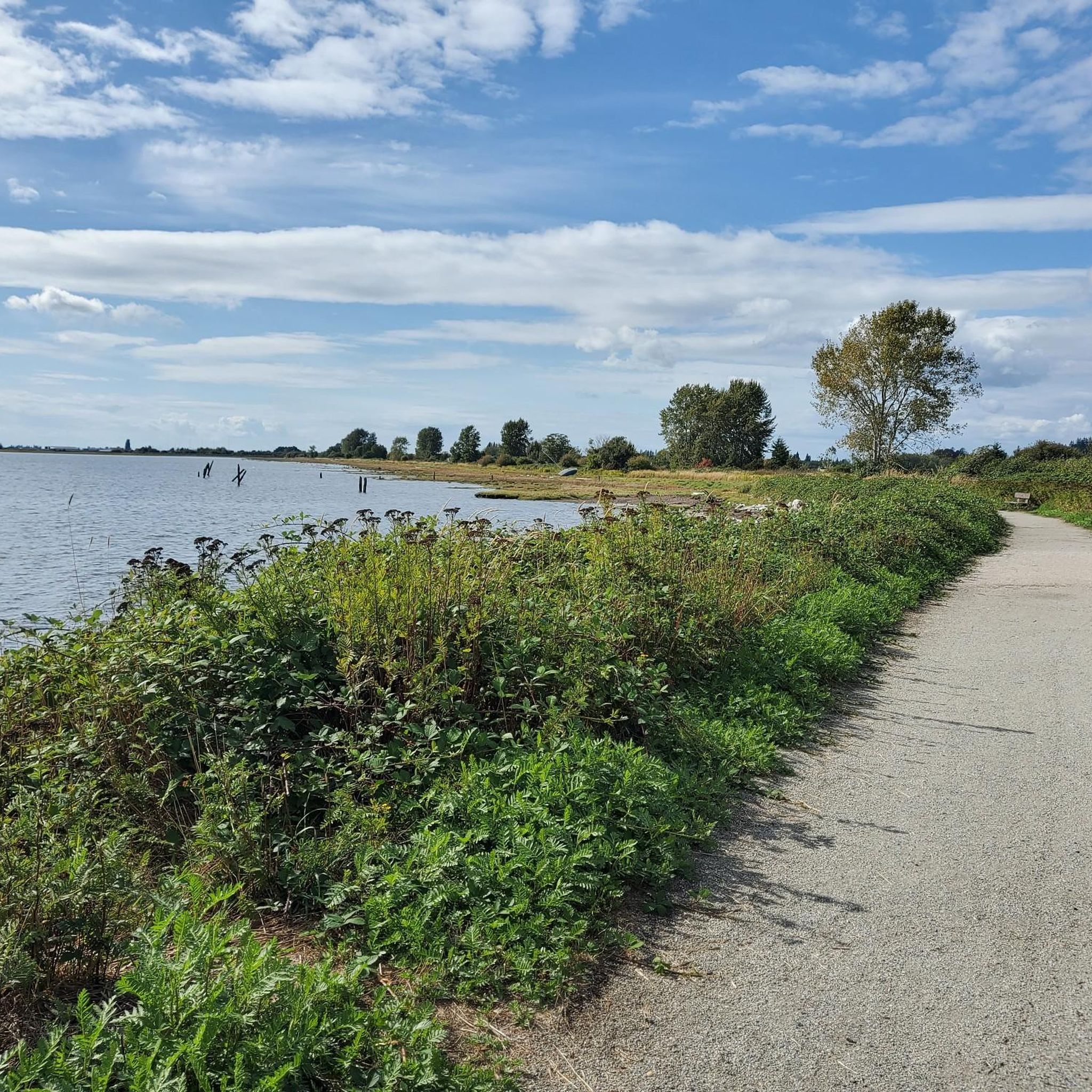
Derby Reach stretches along a calm bend of the Fraser River, where open fields, quiet forests, and wide riverside trails make for easy wandering. You'll find a mix of flat shoreline paths and the hillier Houston Trail loop with some multi-use trails open to hikers, joggers, cyclists, and even horseback riders. A large campground sits right at the water’s edge, with picnic shelters, washrooms, drinking water, and plenty of space to settle in for the night. Dogs are welcome on‑leash throughout most of the park, with a large off‑leash zone near Edgewater Bar. In short, you'll find that Derby Reach delivers a peaceful break with all the essentials close at hand.
0
0
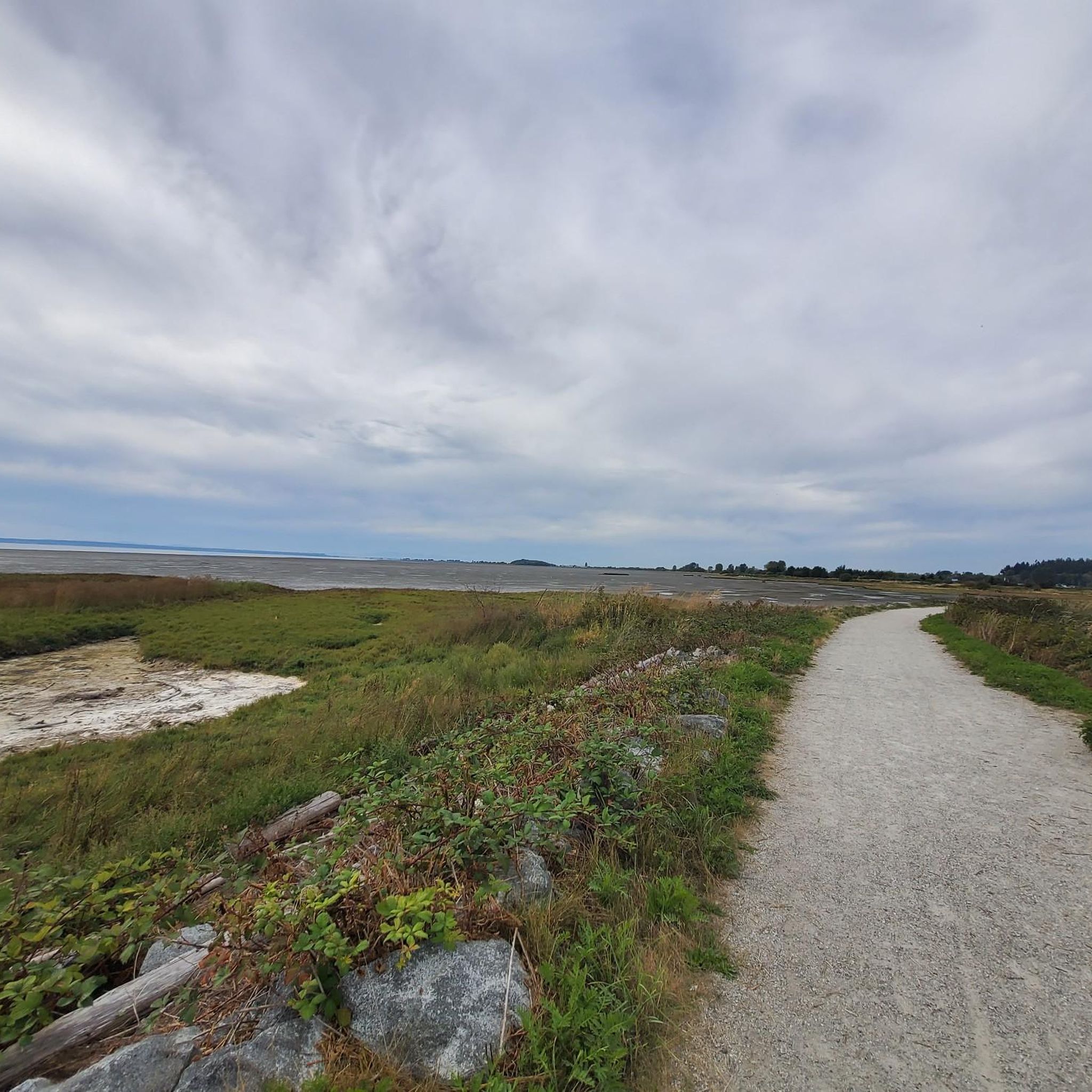
The Canyon to Coast trail runs for 550 kilometers between Hope and the Salish Sea. This particular section follows the Fraser River through parkland, nature reserve and historic sites as it nears its end at the sea.
0
0
This paved, multi-use trail traces thee edges of Tynehead Regional Park in a four kilometer loop. You'll find interpretive signage placed along the loop as you make your way around.
0
0

Chickadee Trail winds through the shaded forest of Sunnyside Acres Urban Forest beneath a canopy of Douglas-fir and alder trees. The easy trail is known for its birdlife, especially chickadees, and offers a quiet walk through one of South Surrey’s best-preserved urban forests. Along this part of the trail you can also spot a large moss-covered boulder dotted with licorice ferns. This is a glacial erratic, a rock carried here thousands of years ago by the glacier that once covered the region before dropping it as the ice retreated.
0
0
This section of the Chickadee Trail shows how the forest is actively managed to protect its health. In 2004, Douglas-fir trees in this area were removed to contain laminated root rot, a disease that spreads through tree roots and causes them to decay. The clearing allowed more sunlight to reach the forest floor, encouraging plants such as salmonberry to thrive. Today the more open understory attracts a variety of birds, including chickadees, wrens, and dark-eyed juncos.
0
0
The Sunnyside Acres Urban Forest protects about 140 hectares of coastal forest in Surrey. Around 4 kilomtres of winding trails run beneath a dense canopy of Douglas fir and other native trees, creating a quiet, shaded place for walking and cycling. Despite being surrounded by residential neighbourhoods, the forest feels surprisingly secluded and supports a variety of wildlife, including birds and black-tailed deer. It’s a peaceful green space and one of South Surrey’s most popular nature walks.
0
0

Sunnyside Acres Urban Forest Park is a 140-hectare park known for its towering second-growth trees and tranquil forest setting, offering a peaceful escape within the city. A network of trails winds through the forest, making it a popular destination for walking, cycling, and horseback riding. Sections of boardwalk help protect sensitive habitats while allowing visitors to experience the forest up close.
0
0
The Semiahmoo Trail is a 5-kilometer, mostly unpaved multi-use trail that runs from the Nicomekl River to 20th Avenue. The route follows a historic pathway used by Indigenous peoples and early settlers and was once one of the first roads in Surrey.
0
0
Frequently Asked Questions
How many running routes are available in Surrey?
Surrey offers a wide variety of running experiences, with over 40 routes available on komoot. These range from easy, flat paths to more challenging, undulating trails, catering to different fitness levels.
Are there easy jogging routes suitable for beginners in Surrey?
Yes, Surrey has several easy jogging routes perfect for beginners or those seeking a relaxed run. For instance, the Mud Bay Viewpoint – Nicomekl Estuary loop from Blackie Spit Environmental Sensitive Area is an easy 4.8 km (3 miles) path, offering a gentle introduction to the region's scenic beauty.
What kind of terrain can I expect on Surrey's running trails?
Surrey's running trails feature diverse terrain, from the rolling hills of the Surrey Hills Area of Outstanding Natural Beauty to expansive parklands and serene riverside paths. You'll find ancient woodlands, chalk heath, and green spaces, offering a mix of challenging ascents like Box Hill and Leith Hill, as well as flatter routes along rivers and through urban parks.
Are there any circular running routes in Surrey?
Many of Surrey's running routes are circular, allowing you to start and finish in the same location. A popular option is the Running loop from Surrey Bend Regional Park, which is a 10.7 km (6.6 miles) trail leading through wetlands and along the Fraser River floodplain.
Can I bring my dog on the running trails in Surrey?
Many parks and trails in Surrey are dog-friendly, but it's always best to check specific park regulations as some areas may require dogs to be on a leash or restrict access to certain sections. Generally, the expansive green spaces and woodlands offer great opportunities for running with your canine companion.
Are there family-friendly running routes in Surrey?
Yes, Surrey offers several family-friendly running routes, particularly in its numerous parks and green spaces. These often feature flatter, well-maintained paths suitable for all ages. Areas like Nonsuch Park and Hatchlands Park provide beautiful settings with plenty of space for families to enjoy a run together.
What are some notable landmarks or attractions I might see while running in Surrey?
While jogging in Surrey, you can encounter various interesting sights. Depending on your chosen route, you might pass by the White Rock Pier and Waterfront, or the Tynehead Pedestrian Overpass. The region also boasts natural monuments like the View of Indian Arm and Burrard Inlet.
Are there running routes in Surrey with good viewpoints?
Absolutely. Surrey is known for its stunning landscapes and offers many routes with rewarding viewpoints. Iconic locations like Box Hill and Leith Hill, part of the Surrey Hills AONB, provide breathtaking panoramic views over the countryside, making for highly scenic runs.
How accessible are Surrey's running routes by public transport?
Many of Surrey's parks and trails are accessible by public transport, particularly those closer to urban centers. However, for some of the more remote trails within the Surrey Hills, planning your journey in advance or considering car access might be necessary. Always check local transport links for specific starting points.
What do other runners say about the jogging routes in Surrey?
The running routes in Surrey are highly rated by the komoot community, with an average score of 4.9 stars from 7 reviews. Runners often praise the diverse terrain, from serene riverside paths to challenging hills, and the overall natural beauty of the region's woodlands and parklands.
Are there any running routes along rivers or coastlines in Surrey?
Yes, Surrey offers beautiful running experiences along its waterways. You can find routes along the Fraser River floodplain, such as the Serpentine River loop from Fleetwood—Port Kells, or explore trails along the Nicomekl River, like the Elgin Heritage Park – Nicomekl River loop from South Surrey—White Rock. Coastal paths near Crescent Beach and White Rock also provide scenic waterfront jogs.
Where can I find a moderate running challenge in Surrey?
For a moderate running challenge, consider the Running loop from Ocean Park. This 8.4 km (5.2 miles) route offers a good balance of distance and elevation, providing an engaging run without being overly strenuous. Surrey has 29 moderate routes in total.
Most popular routes around Surrey
Most popular attractions around Surrey

Get inspired with the komoot mobile app


Explore more
Browse the best Running Trails & Routes in other regions.
