The best walks and hikes around Area G (Deroche/Dewdney/Sumas Mountain)
4.7
(20)
451
hikers
34
hikes
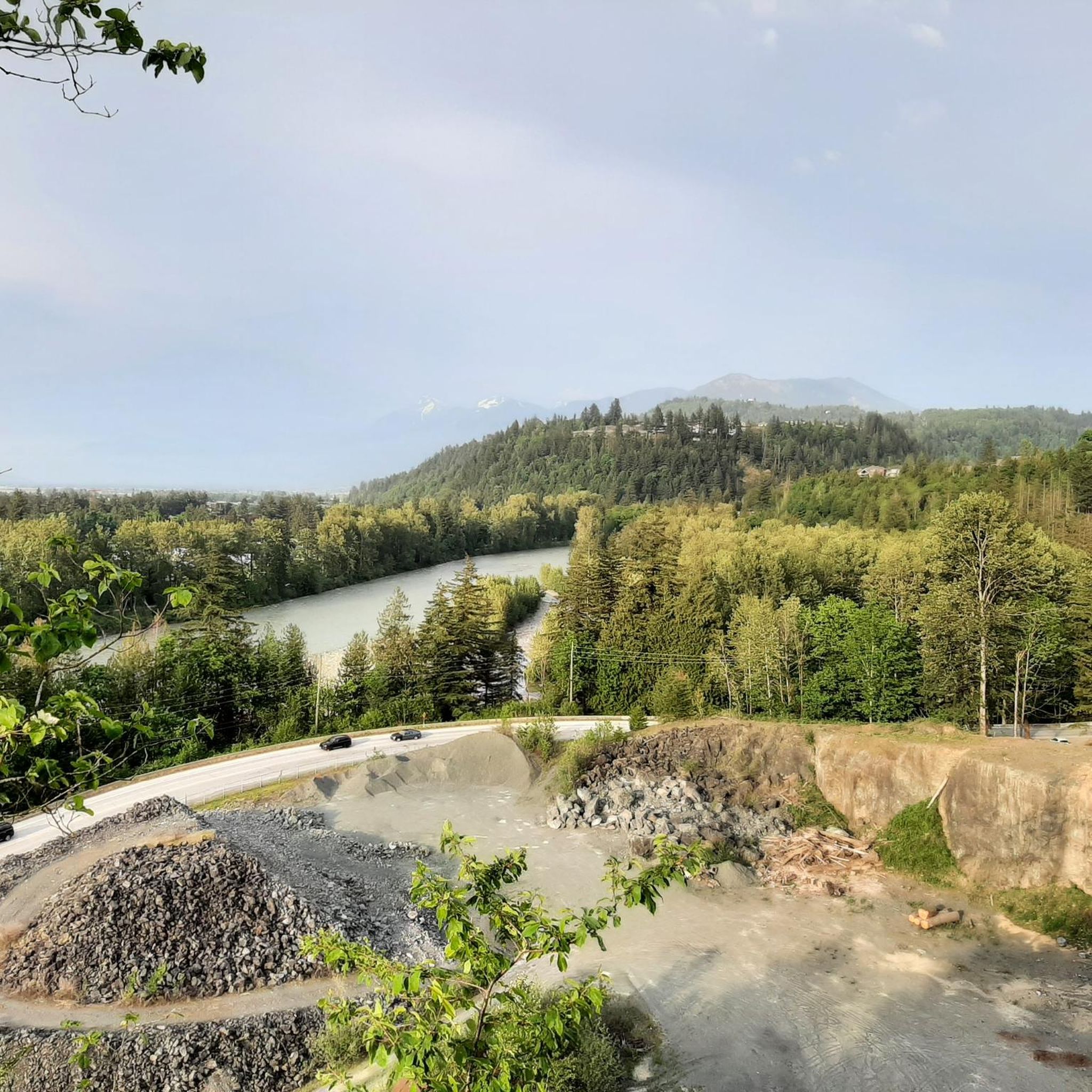
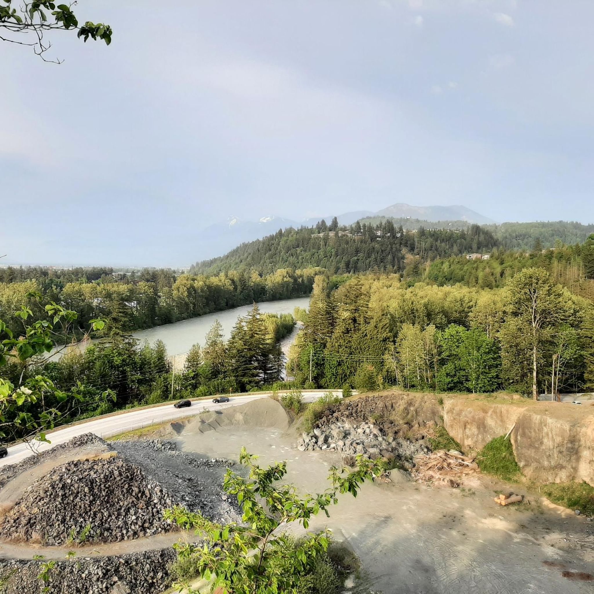
Hiking around Area G (Deroche/Dewdney/Sumas Mountain) offers diverse landscapes within the Fraser Valley Regional District of British Columbia. The region is characterized by prominent peaks like Sumas Mountain, extensive forest terrain, and views of the Fraser River. Elevations range significantly, providing varied hiking experiences from river-level paths to challenging mountain ascents. This area features a network of trails suitable for different skill levels, traversing through deciduous and coniferous woods, and open areas.
Best hiking trails around Area G (Deroche/Dewdney/Sumas Mountain)
- The most popular hiking route is Abby Grind Trail — Sumas Mountain Regional Park, a 2.0 miles (3.2 km) trail that takes 2 hours 5 minutes to complete. This moderate route features a significant elevation gain within Sumas Mountain Regional Park.
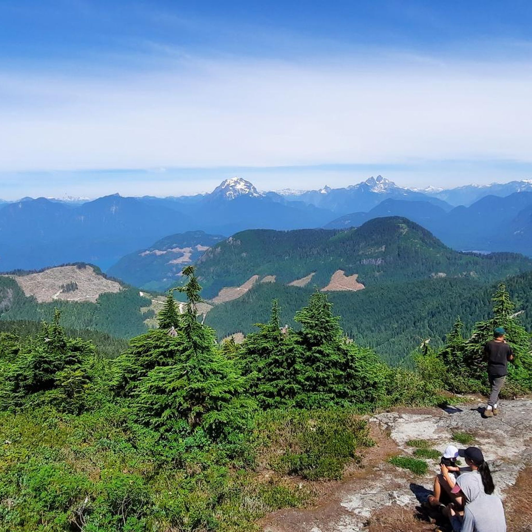
- Another top favourite among local hikers is Nicomen Mountain Trail, a difficult 8.9 miles (14.3 km) path. This trail involves a challenging ascent, rewarding hikers with panoramic views of the Fraser Valley.
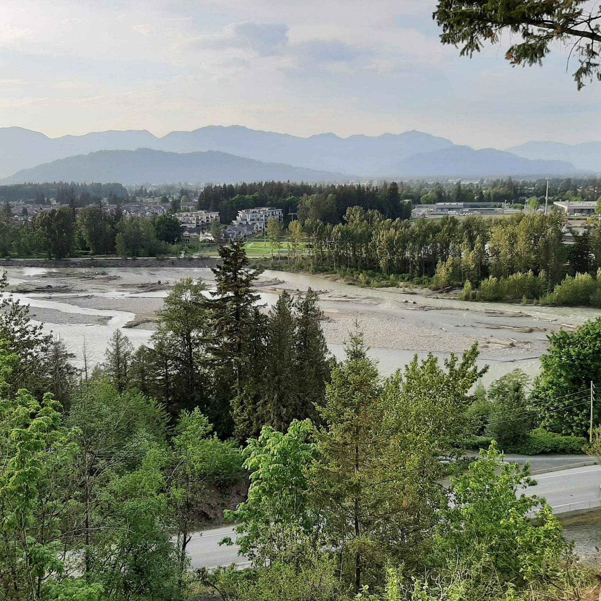
- Local hikers also love the Matsqui Trail Loop, a 2.1 miles (3.5 km) trail leading through the Fraser River area, often completed in about 53 minutes.
- Hiking around Area G (Deroche/Dewdney/Sumas Mountain) is defined by mountain ascents, riverfront paths, and varied forest terrain. The network offers options for different ability levels, from easy strolls to demanding climbs.
- The routes in Area G (Deroche/Dewdney/Sumas Mountain) are highly rated by the komoot community with an average score of 4.7 stars from over 10 reviews. More than 400 hikers have used komoot to explore Area G (Deroche/Dewdney/Sumas Mountain)'s varied terrain.
Last updated: July 7, 2026
4.7
(3)
17
hikers
3.19km
02:05
390m
390m
Moderate hike. Good fitness required. Mostly accessible paths. Sure-footedness required.
6
hikers
3.30km
01:13
220m
220m
Easy hike. Great for any fitness level. Easily-accessible paths. Suitable for all skill levels.

Sign up for free
5
hikers
4.55km
01:17
100m
100m
Easy hike. Great for any fitness level. Easily-accessible paths. Suitable for all skill levels.
3
hikers
10.2km
02:35
10m
10m
Moderate hike. Good fitness required. Easily-accessible paths. Suitable for all skill levels.
3
hikers
14.3km
07:51
1,200m
1,200m
Hard hike. Very good fitness required. Sure-footedness, sturdy shoes and alpine experience required.
Get access to more routes and recommendations from other explorers.
Sign up for free
Already have an account?
Our route recommendations are based on thousands of hikes, rides, and runs completed by other people on komoot.
Start today with a free account
Your next adventure awaits.
Login or Signup
Popular around Area G (Deroche/Dewdney/Sumas Mountain)
Tips from the Community

Clayburn Creek Park is a thickly forested area, full of western red cedar, western hemlock, and bigleaf maple trees. The area gets its name from the history of the Clayburn Brick Factory, whose bricks can still be seen in some old buildings today. The Clayburn Creek Trail, which is open to hiking and biking, was once the path used by the railway for delivering and transporting bricks from the factory.
0
0
Clayburn Creek Trail is a packed dirt and gravel trail. It's wide and easy to follow, and starting at the trail's western end, there will be a gentle downhill the entire way. There is one short staircase made of wood along the way. Locals mention resident bears who are seen regularly here, so be bear aware while hiking on this wooded trail.
0
0
Straiton Road is the western end of the Clayburn Creek Trail. It's not an ideal starting place, though there are 2-3 unoffical spots for cars, the better starting place for an adventure on the Clayburn Creek Trail is at its eastern end on Blauson Boulevard, where just a few yards north of the trailhead is official street parking.
0
0
Norrish Creek Beach is a sandy and rocky beach front of Norrish Creek. Don't be surprised to see someone here with no clothes at all, as it is a nude beach. The waters are gentle unless there has been significant rainfall, and the cold, clear water is the perfect place for a dip.
0
0
Nicomen Mountain sits at 1,221 meters above sea level at the southernmost major summit of the Douglas Ranges. The hike to the summit is an out-and-back and a mix of forest service roads and trails. From the summit, visitors can enjoy panoramic views of the Fraser Valley and surrounding ranges, from multiple viewpoints just past the high point.
0
0
Dyke Road is less of a formal hiking trail and more of a wide dirt road used by walkers and bikers. If you want to walk side by side with a friend, this is the perfect trail. This road traces the top of the flood-control dike, across farms, fields, and sloughs. There is almost no elevation gain and loss, very flat the whole way, and keep your eyes open for all sorts of birds along the wetlands.
0
0
Nicomen Slough is a side channel and wetland area connected to the Fraser River, spanning 14 kilometers. The slough is very important to waterfowl under the Pacific Birds Habitat Joint Venture because it is an important migration area for wintering and breeding of many kinds of birds.
0
0
Frequently Asked Questions
How many hiking trails are available in Area G (Deroche/Dewdney/Sumas Mountain)?
Area G offers a diverse network of over 25 hiking trails, catering to various skill levels. You'll find everything from easy strolls to challenging mountain ascents within the region.
What kind of terrain can I expect on hikes in Area G?
The terrain in Area G is quite varied, ranging from river-level paths along the Fraser River to significant mountain ascents on Sumas Mountain. You can expect to traverse through dense deciduous and coniferous woods, open clear-cut sections, and even ravines. Some trails, particularly on Sumas Mountain, can be rugged or occasionally muddy.
Are there any easy or family-friendly hiking options in Area G?
Yes, Area G has several easy trails suitable for families or those seeking a relaxed walk. For instance, the Matsqui Trail Loop offers a gentle 2.1-mile path with scenic Fraser River views. Another accessible option is the Cranks Trail in Mission Municipal Forest, which leads to the Moon Rock Viewpoint.
Are there challenging hikes for experienced hikers in the region?
Absolutely. For experienced hikers seeking a demanding adventure, the Nicomen Mountain Trail is an excellent choice. This difficult 8.9-mile route features a significant ascent and steep terrain, rewarding hikers with panoramic views of the Fraser Valley from its 1,221-meter summit. The Abby Grind Trail also offers a moderate challenge with a substantial elevation gain.
What are the best viewpoints or landmarks to see while hiking?
Many trails offer stunning views. Sumas Mountain provides expansive vistas of the Fraser Valley, and on clear days, you might even see Mount Baker. The Sumas Mountain Regional Park itself is a major highlight. The Cranks Trail leads to the scenic Moon Rock Viewpoint. Additionally, the Matsqui Trail Loop and other points along the Fraser River offer picturesque views of the river and surrounding farmlands.
Are there any trails with waterfalls in Area G?
Yes, the trail leading to Chadsey Lake (formerly Lost Lake) within Sumas Mountain Regional Park is known to pass a small waterfall. This scenic lake is nestled among thick Douglas Fir trees and is a popular attraction, especially in summer.
Can I bring my dog on the hiking trails in Area G?
Many trails in Area G are dog-friendly, but it's always best to check specific park regulations before heading out. Generally, dogs are welcome on leash in regional parks like Sumas Mountain Regional Park and Matsqui Trail Regional Park.
When is the best time of year to go hiking in Area G?
Area G is a year-round hiking destination. While trails are accessible throughout the year, higher elevations on Sumas Mountain can have snow in winter. Spring and fall offer pleasant temperatures and vibrant scenery, while summer is ideal for enjoying attractions like Chadsey Lake. Always check local conditions before your hike.
Are there any circular hiking routes in Area G?
Yes, there are several circular routes available. The Matsqui Trail Loop is a popular easy option that forms a circuit along the Fraser River. Many trails within Sumas Mountain Regional Park also offer loop configurations for varied experiences.
What do other hikers enjoy most about hiking in Area G?
The hiking routes in Area G are highly rated by the komoot community, with an average score of 4.7 stars from over 18 reviews. Hikers often praise the diverse landscapes, from challenging mountain ascents to serene riverfront paths, and the rewarding panoramic views of the Fraser Valley.
Is parking available at the trailheads in Area G?
Parking is generally available at popular trailheads within Area G, especially at regional parks like Sumas Mountain Regional Park and Matsqui Trail Regional Park. Specific parking details can often be found on individual trail pages or local park websites.
Are there any trails with good views of the Fraser River?
Yes, several trails offer excellent views of the Fraser River. The Matsqui Trail Loop and the Dyke Road trail trace the south bank of the river, providing wide paths with continuous views of the majestic Fraser River and the surrounding farmlands.
Most popular routes around Area G (Deroche/Dewdney/Sumas Mountain)
Most popular attractions around Area G (Deroche/Dewdney/Sumas Mountain)

Get inspired with the komoot mobile app


Explore more
Browse the best Hikes in other regions.
