The best road cycling routes around Electoral Area A
4.8
(73)
3,995
riders
47
rides
Road cycling routes around Electoral Area A traverse a diverse landscape within Metro Vancouver, encompassing the University Endowment Lands, the University of British Columbia, and rural communities like Barnston Island. The region features well-paved surfaces suitable for road cycling, with routes offering varying elevation gains. Coastal areas along Howe Sound and Indian Arm, alongside the Fraser River, contribute to the varied terrain.
Best road cycling routes around Electoral Area A
- The most popular road cycling route is Stanley Park Drive – Lions Gate Bridge loop from Hollyburn, a 21.5 miles (34.6 km) trail that takes 1 hour 37 minutes to complete. This route offers an easy ride with scenic views of the Lions Gate Bridge.
- Another top favourite among local road cyclists is Granville Island Public Market – View of English Bay loop from University of British Columbia, a moderate 19.0 miles (30.5 km) path. This route provides scenic views of English Bay and the urban-natural interface.
- Local road cyclists also love the View of English Bay – Stanley Park Drive loop from North Vancouver, a 42.4 miles (68.2 km) trail leading through coastal areas and urban parkland, often completed in about 3 hours 12 minutes.
- Road cycling around Electoral Area A is defined by coastal paths, urban parkland, and well-maintained roads, offering options for different ability levels.
- The routes in Electoral Area A are highly rated by the komoot community with an average score of 4.9 stars from over 80 reviews. More than 5000 road cyclists have used komoot to explore Electoral Area A's varied terrain.
Last updated: August 28, 2026
4.6
(18)
1,089
riders
34.6km
01:39
280m
280m
Easy road ride. Great for any fitness level. Mostly well-paved surfaces and easy to ride.
4.8
(17)
544
riders
45.0km
02:11
370m
370m
Moderate road ride. Good fitness required. Mostly well-paved surfaces and easy to ride.

Sign up for free
4.8
(10)
333
riders
Moderate road ride. Great for any fitness level. Some segments of this route may be unpaved and difficult to ride.
5.0
(3)
278
riders
50.8km
02:44
930m
930m
Hard road ride. Very good fitness required. Mostly well-paved surfaces and easy to ride.
4.5
(2)
269
riders
75.3km
03:29
770m
770m
Moderate road ride. Good fitness required. Some segments of this route may be unpaved and difficult to ride.
Get access to more routes and recommendations from other explorers.
Sign up for free
Already have an account?
Our route recommendations are based on thousands of hikes, rides, and runs completed by other people on komoot.
Start today with a free account
Your next adventure awaits.
Login or Signup
Popular around Electoral Area A

Canada by train – scenic hikes from Western stations

Pacific charm and peak happiness in British Columbia

MTB Road Trip Sea-to-Sky – dream trails in British Columbia
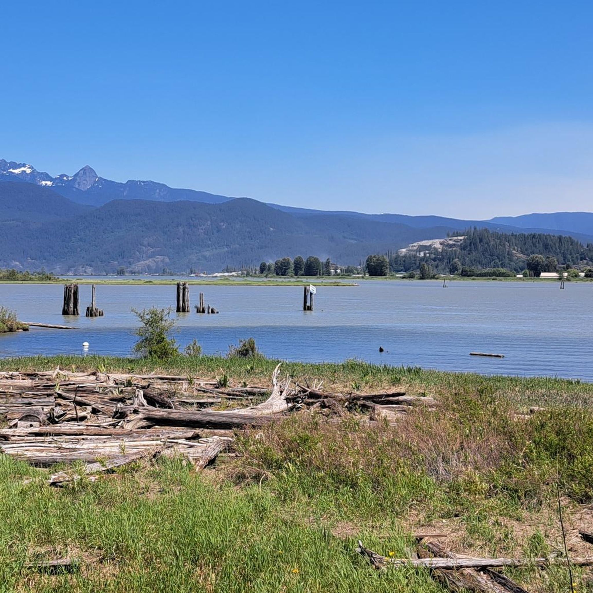
Hiking around Electoral Area A
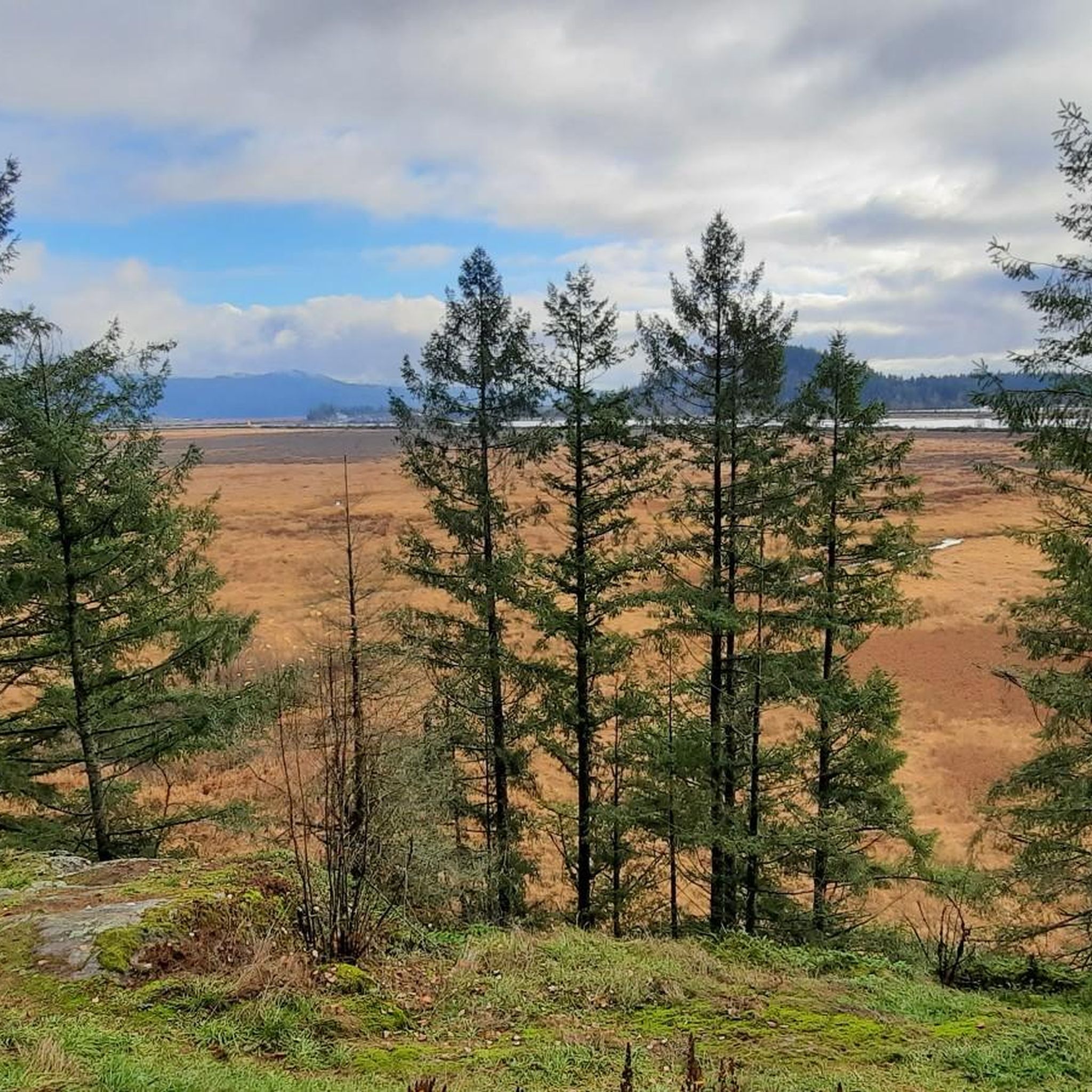
Cycling around Electoral Area A
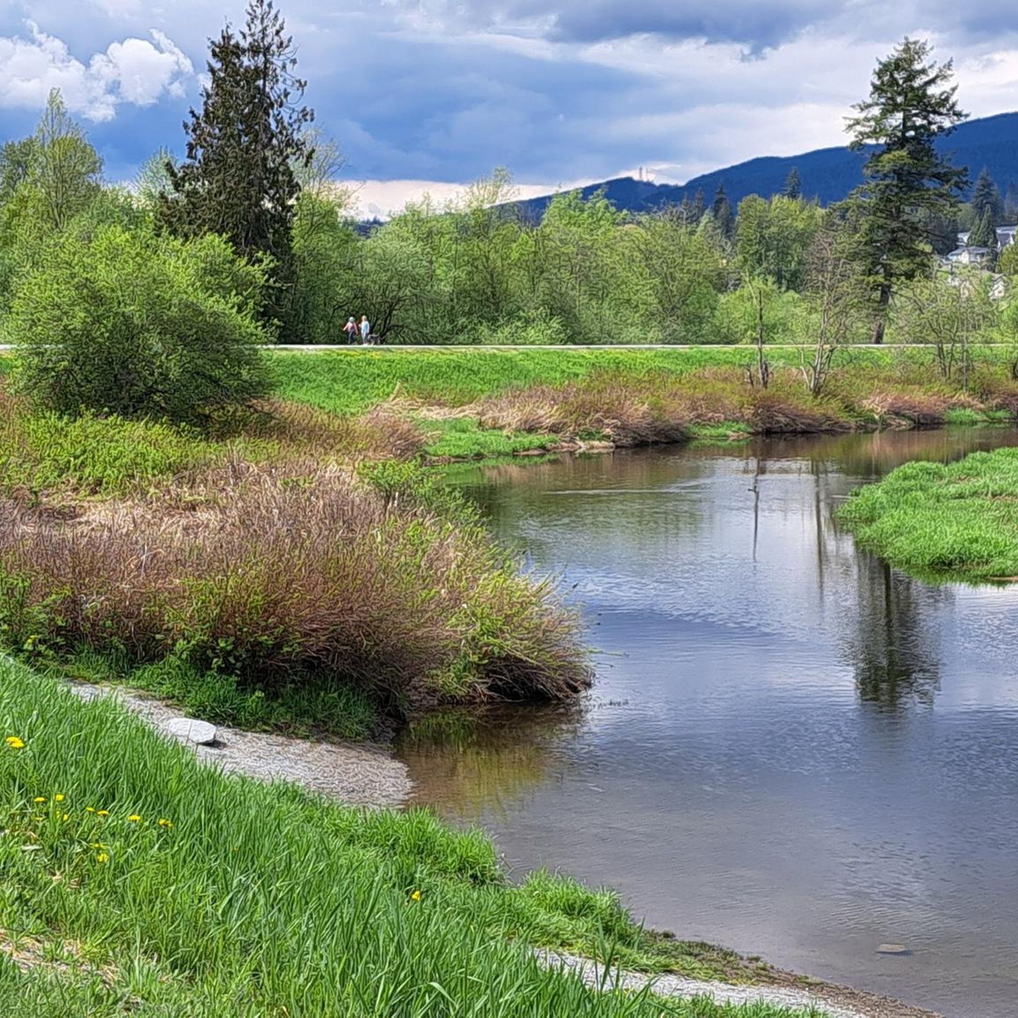
Running Trails around Electoral Area A
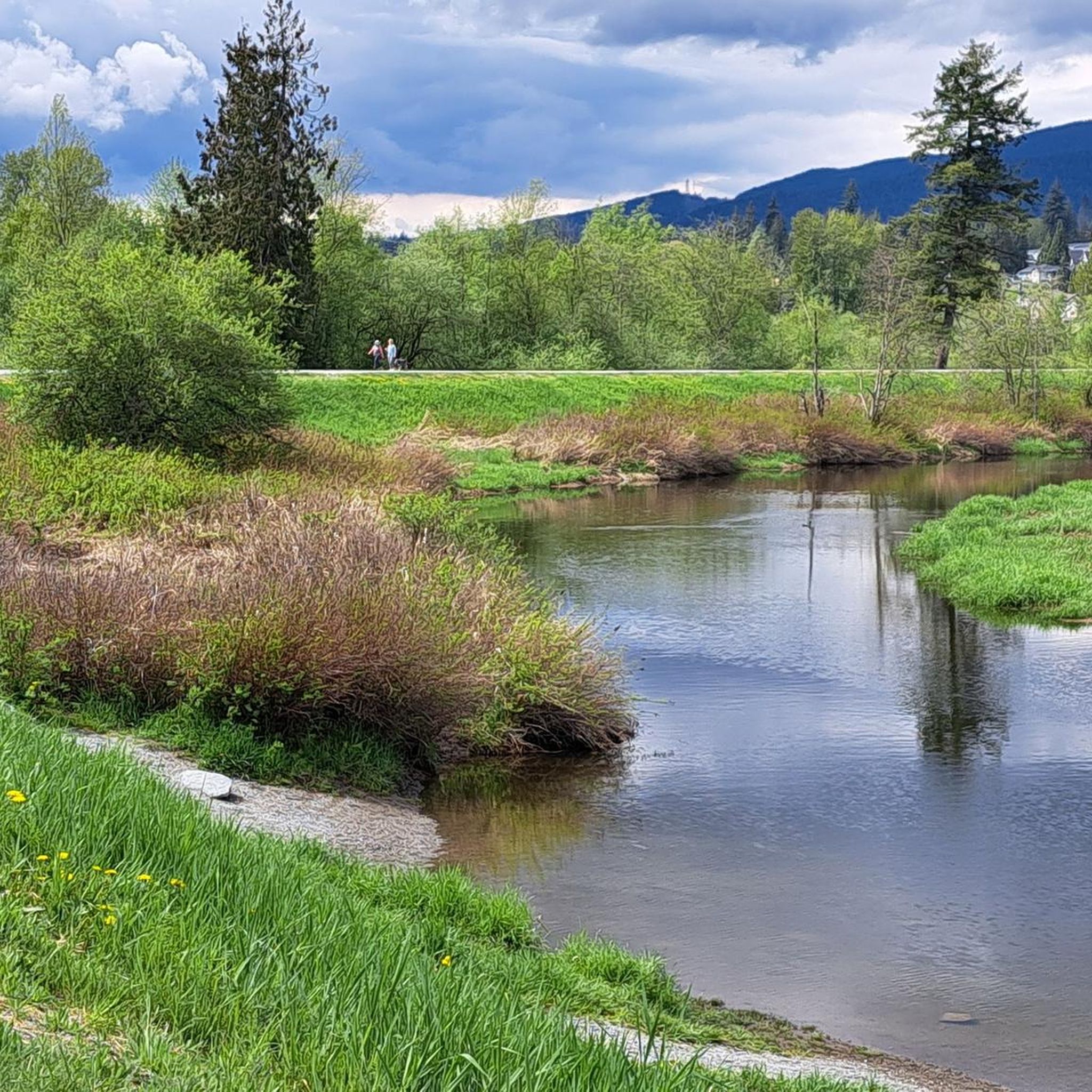
MTB Trails around Electoral Area A

Gravel biking around Electoral Area A
Other adventures around Electoral Area A


Tips from the Community

Here, the Avison Trail crosses over Stanley Park Causeway via a sidewalk on Stanley Park Drive and gives one of the best viewpoints over Lions Gate Bridge. There is an informational sign on the sidewalk about the bridge, and the viewpoints look straight down the bridge from between the forests.
1
0
Ambleside Park is a stunning waterfront public space on the shores of Howe Sound across the water from downtown Vancouver. This path is open for walking, jogging, or biking along the park's wide seaside boardwalk, which connects to the Centennial Seawalk. Looking south, freighters and sailboats dot the waters under the Vancouver skyline. The beach is a mix of sand and pebbles, popular for sunbathing, beachcombing, and swimming. Even dogs can enjoy the park in the designated off-leash zone. The park also has golfing, baseball, and pickleball fields, plenty of activities for everyone.
1
0

The Vancouver Maritime Museum focuses on Pacific Northwest and Arctic maritime history, including the historic RCMP schooner St. Roch, the first vessel to circumnavigate North America. The museum is generally open Tuesday to Sunday from 10:00 am to 5:00 pm, and general admission is about $22 for adults, with free entry for children under 5, and a monthly “pay-what-you-can” day on the first Sunday. Exhibits include coastal navigation, shipbuilding, and the region’s ocean-going heritage.
0
0


The Robert Burns Memorial is an outdoor memorial and statue of Scottish poet Robert Burns, located in Stanley Park in Vancouver, British Columbia, Canada.
0
0

The Vancouver Maritime Museum presents the maritime history of Vancouver and the Canadian Arctic. The museum is located in Vanier Park, west of False Creek. It opened in 1959 to commemorate Vancouver's centennial. https://vanmaritime.com/ https://en.wikipedia.org/wiki/Vancouver_Maritime_Museum
2
0
The Granville Island Public Market is located in the northern part of the peninsula. The market is open daily from 9:00 a.m. to 6:00 p.m. – until 7:00 p.m. during the summer months. The buildings of the Public Market once housed companies in the timber, mining, and shipping industries. https://granvilleisland.com/public-market https://granvilleisland.com/history/the-public-market
2
0
The Lions Gate Bridge crosses the First Narrows. Whether walking or cycling, the view is magnificent. To the west, the view extends across Burrard Inlet and the Strait of Georgia to the Gulf Islands, which lie off the coast of Vancouver Island. To the east, the high-rise buildings of the Vancouver skyline can be seen above the dense forest of Stanley Park and the striking roof structure of Canada Place. On occasion, you can watch large passenger and container ships leaving Vancouver Harbour.
1
0
Frequently Asked Questions
Where is Electoral Area A located, and what kind of landscapes does it offer for road cycling?
Electoral Area A is situated within Metro Vancouver, encompassing diverse areas like the University Endowment Lands (UEL), the University of British Columbia (UBC), and rural communities such as Barnston Island. Road cyclists can expect a unique blend of urban accessibility and natural escapes, with routes traversing coastal areas along Howe Sound and Indian Arm, as well as the Fraser River, offering varied terrain and scenic vistas.
What types of road cycling routes can I find in Electoral Area A?
Electoral Area A offers a wide variety of road cycling routes, catering to different fitness levels. You'll find well-paved surfaces with options ranging from easy, flat rides to more challenging routes with significant elevation gains. The area features coastal paths, urban parkland, and well-maintained roads, ensuring there's something for every road cyclist.
Are there easy road cycling routes suitable for beginners in Electoral Area A?
Yes, Electoral Area A has several easy road cycling routes perfect for beginners or those looking for a relaxed ride. An excellent option is the Stanley Park Drive – Lions Gate Bridge loop from Hollyburn, which is 21.5 miles (34.6 km) long and offers scenic views with an easy difficulty grade.
What are some challenging road cycling routes for experienced cyclists in Electoral Area A?
For experienced cyclists seeking a challenge, Electoral Area A offers routes with considerable elevation changes. The View of Burrard Inlet – Ambleside Park loop from North Vancouver is a difficult 32.1 miles (51.7 km) route with nearly 1000 meters of elevation gain, providing a demanding ride and rewarding views.
What natural features and landmarks can I see along the road cycling routes?
Road cycling routes in Electoral Area A offer access to stunning natural features and landmarks. You can cycle past coastal areas, urban parks, and even natural monuments. Notable sights include Siwash Rock (Slhx̱í7lsh), the serene Lost Lagoon, and the impressive Totem Poles in Stanley Park. The region's proximity to Howe Sound and Indian Arm also provides beautiful water-based vistas.
Are there any loop routes available for road cycling in Electoral Area A?
Yes, many of the road cycling routes in Electoral Area A are designed as loops, allowing you to start and finish at the same point. Examples include the Granville Island Public Market – View of English Bay loop from University of British Columbia and the View of English Bay – Stanley Park Drive loop from North Vancouver, which offer convenient circular journeys.
When is the best time of year to go road cycling in Electoral Area A?
The best time for road cycling in Electoral Area A is generally during the warmer months, from spring through early autumn. This period offers more predictable weather, longer daylight hours, and comfortable temperatures, making for an enjoyable experience on the well-paved roads and scenic coastal paths.
What do other road cyclists say about their experience in Electoral Area A?
The road cycling routes in Electoral Area A are highly rated by the komoot community, with an average score of 4.9 stars from over 80 reviews. Cyclists often praise the well-maintained roads, the diverse scenery that blends urban and natural landscapes, and the variety of routes suitable for all skill levels.
Are there family-friendly road cycling options in Electoral Area A?
While road cycling can be enjoyed by families, it's important to choose routes with less traffic and gentler gradients. The easier loop routes, particularly those within parks like Stanley Park, can be suitable for families with older children who are comfortable cycling on paved roads. Always assess the route's specific conditions and traffic levels for suitability.
How many road cycling routes are available in Electoral Area A?
There are over 60 road cycling routes available in Electoral Area A, offering a wide range of distances and difficulty levels. This includes 11 easy routes, 48 moderate routes, and 5 difficult routes, ensuring options for every type of cyclist.
Can I access road cycling routes in Electoral Area A using public transport?
Given Electoral Area A's location within Metro Vancouver and its proximity to urban centers, many starting points for road cycling routes are accessible via public transport. For example, routes originating from UBC or North Vancouver are often well-connected by bus services, allowing cyclists to reach the starting points without a car.
Are there places to stop for refreshments or amenities along the road cycling routes?
Yes, many road cycling routes in Electoral Area A pass through or near urban areas and attractions where you can find amenities. Routes that include areas like Granville Island Public Market or Stanley Park offer numerous cafes, restaurants, and shops for refreshments and breaks. Even routes near UBC or North Vancouver will have convenient stops.
Most popular routes around Electoral Area A
Most popular attractions around Electoral Area A

Get inspired with the komoot mobile app


Explore more
Browse the best Road cycling routes in other regions.
