The best road cycling routes around Area A (Baynes Sound)
4.8
(12)
305
riders
18
rides
Road cycling around Area A (Baynes Sound) offers diverse terrain, from coastal flats to rolling hills, situated between Vancouver Island and Denman Island. The region is characterized by its sheltered coastal channel, tidal estuaries, and adjacent forests, providing varied backdrops for rides. Cyclists can expect well-paved surfaces on many routes, with some sections potentially unpaved, traversing a mix of second-growth forests, agricultural lands, and small communities. This combination of natural features creates a dynamic environment for road cycling.
Best road…
Last updated: July 5, 2026
53
riders
Hard road ride. Very good fitness required. Some segments of this route may be unpaved and difficult to ride.
5.0
(2)
45
riders
76.9km
03:33
560m
560m
Moderate road ride. Good fitness required. Some segments of this route may be unpaved and difficult to ride.

Sign up for free
4.6
(7)
37
riders
30.3km
01:23
290m
290m
Easy road ride. Great for any fitness level. Mostly well-paved surfaces and easy to ride.
4.5
(2)
32
riders
27.5km
01:12
190m
190m
Easy road ride. Great for any fitness level. Mostly well-paved surfaces and easy to ride.
22
riders
66.9km
03:50
1,240m
1,240m
Hard road ride. Very good fitness required. Mostly well-paved surfaces and easy to ride.
Get access to more routes and recommendations from other explorers.
Sign up for free
Already have an account?
Our route recommendations are based on thousands of hikes, rides, and runs completed by other people on komoot.
Start today with a free account
Your next adventure awaits.
Login or Signup

Tips from the Community

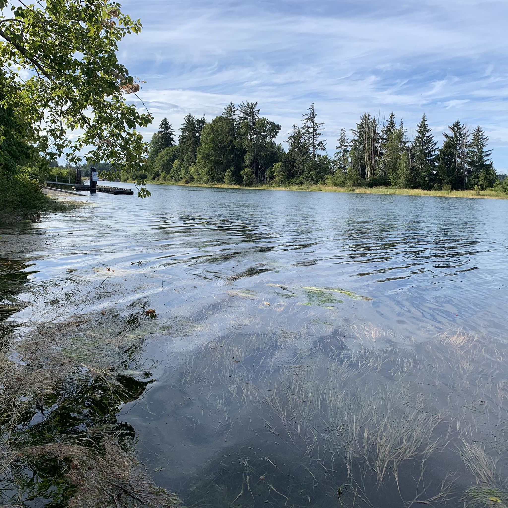
There are a bunch of seaplanes and other small aircraft that are usually parked along the fence opposite the Riverway Path. You can check them out as you pass by.
0
0

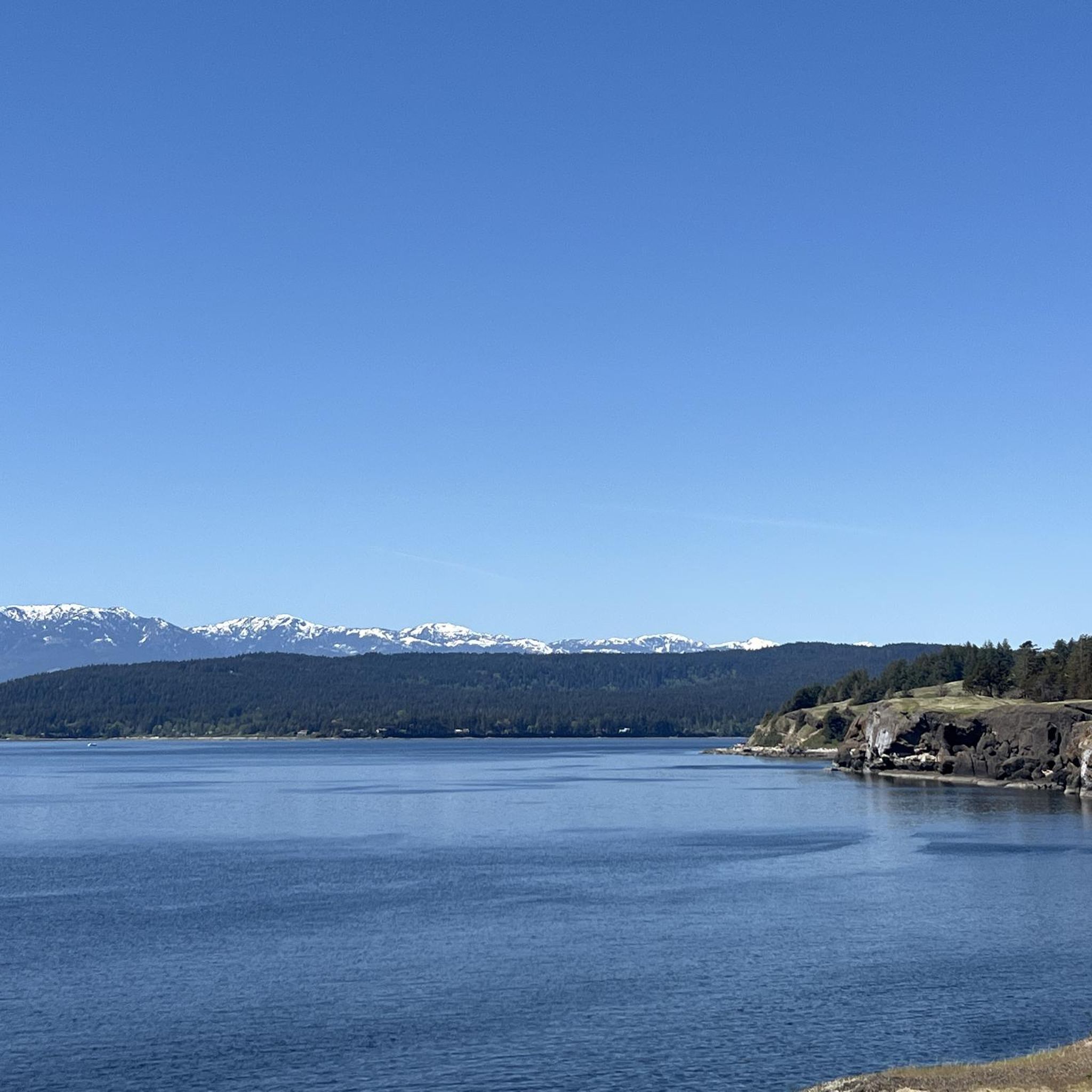
Comox Harbour is a sheltered inlet on the east coast of Vancouver Island, opening into the Strait of Georgia. The water is generally calm, shaped by tides that expose mudflats and sandbars along the shoreline. Backed by distant mountains and coastal communities, it forms a wide, open marine landscape that changes noticeably throughout the day.
0
0

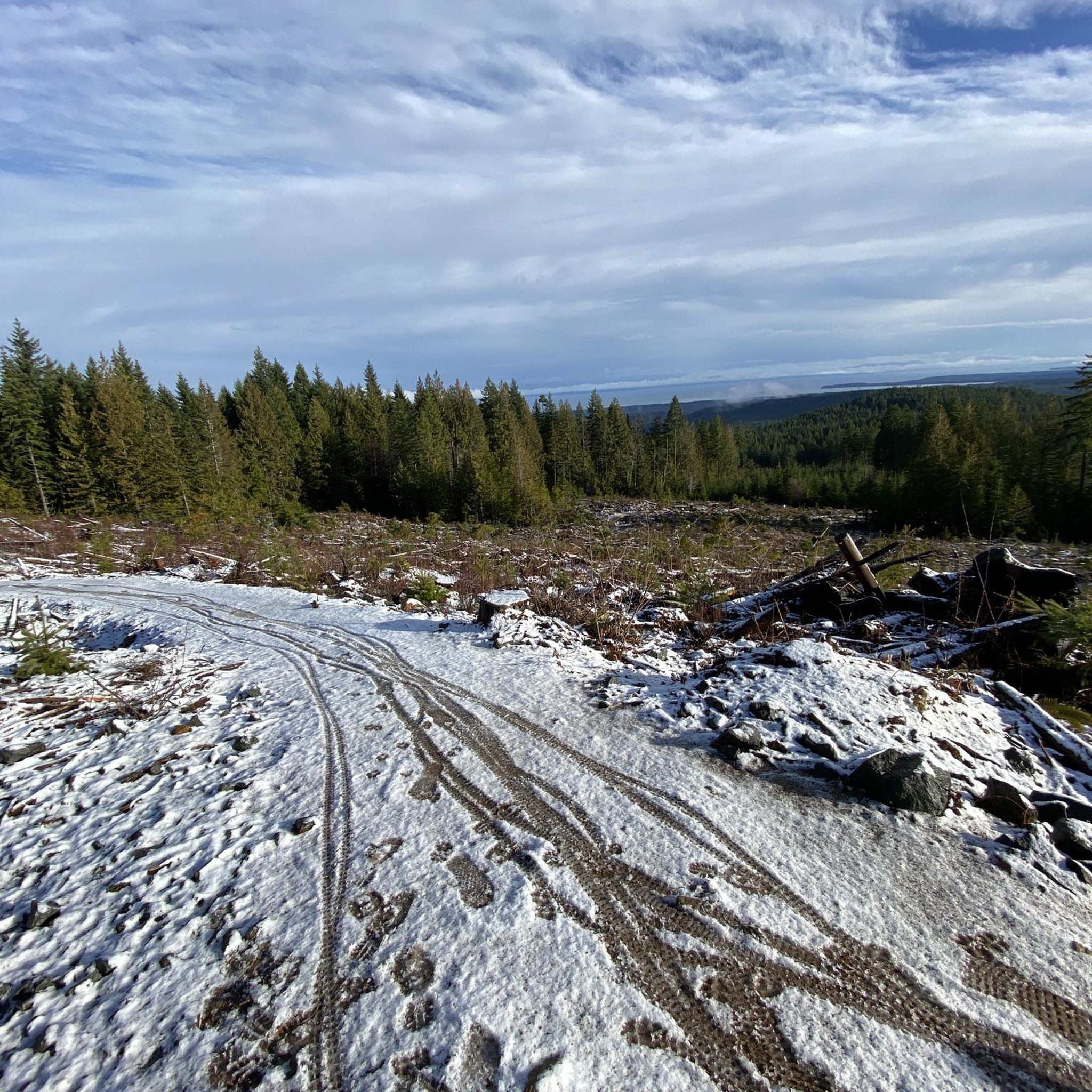
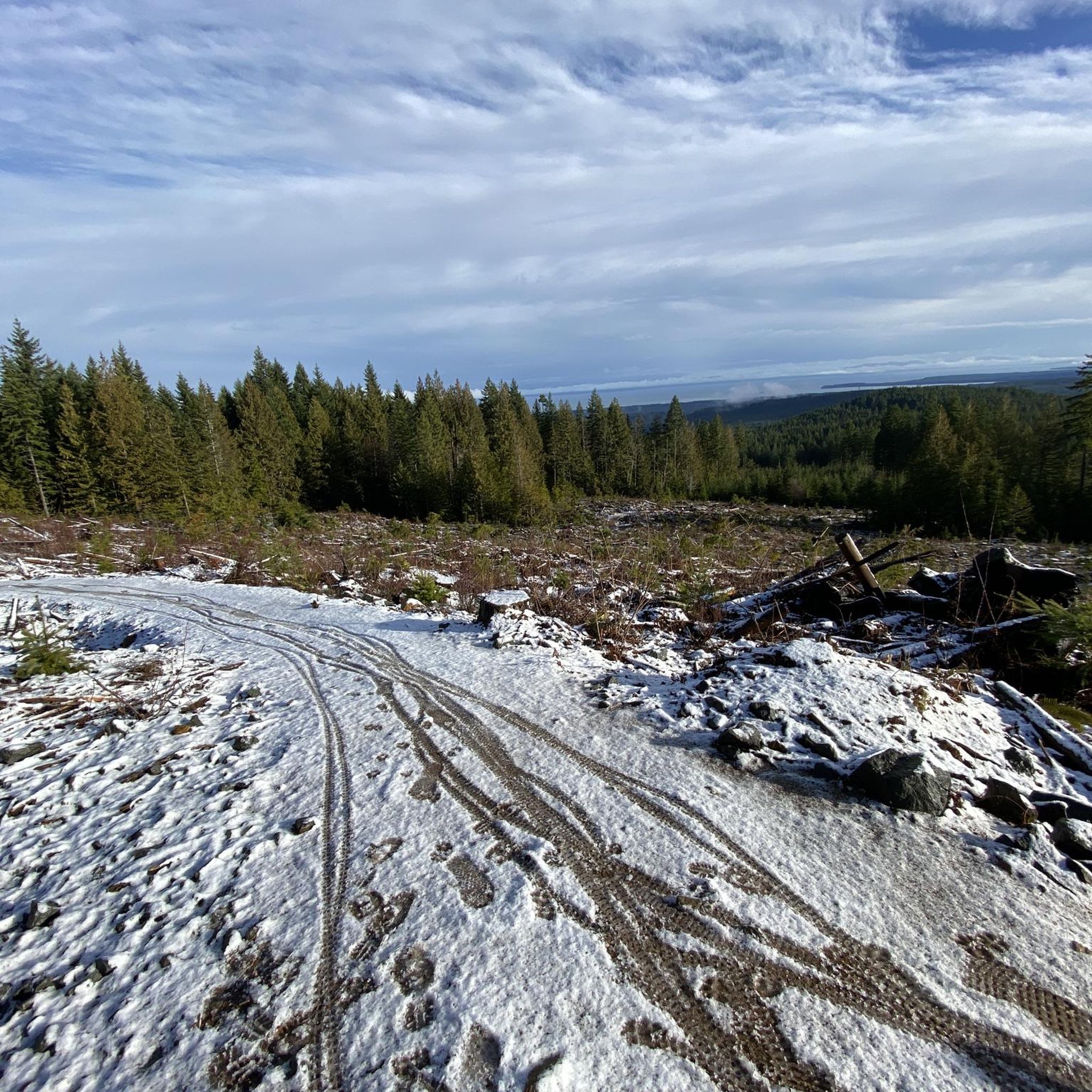
Rosewall Creek Provincial Park is a small day-use park with a short trail that runs through the forest along Rosewall Creek. Big-leaf maple and conifer stands provide pleasant shade, making this a good stop for a quiet nature walk or creekside break on Vancouver Island. There is roadside parking and pit toilets near the trailhead and picnic areas overlooking the water,
0
0

Lions Community Park is a neighborhood park with a parking lot, a playground, picnic tables, benches, a water fountain, and the Lighthouse Community Center. There is also access to the Lighthouse Country Regional Trail.
0
0

You can also grab a coffee and take it down to one of the picnic tables along Marine Drive. A great place to look across towards Comox Marina and Goosespit.
0
0

Cool little airport that has some interesting aircraft to check out.
0
0
Royston Coffee- Good morning coffee stop on the way to Cumberland via Royston Rd. When returning from Cumberland… fuel up with an awesome donut from the Cumberland Bakery and more coffee if you need it. The rest of the ride into Courtenay is all downhill once you are past the Inland Highway 19 overpass.
0
0
Rode a similar route starting from Ocean Front Village at 29’th and Cliffe Ave. Especially enjoyed the ride along the Salish Sea on Lazo Rd-Safe cycling route.
0
0
Frequently Asked Questions
What kind of terrain can I expect when road cycling in Area A (Baynes Sound)?
Road cycling in Area A (Baynes Sound) offers a diverse landscape, ranging from coastal flats with scenic water views to rolling hills that provide more challenging climbs. You'll find routes traversing sheltered coastal channels, tidal estuaries, and adjacent forests, with a mix of well-paved surfaces and some potentially unpaved sections.
Are there road cycling routes suitable for beginners or families in Baynes Sound?
Yes, Baynes Sound offers several easy road cycling routes perfect for beginners or families. For example, the Roadbike loop from Lerwick Nature Park is an easy 30.7 km (19.1 miles) trail that takes about 1 hour 24 minutes, leading through natural park areas. Another accessible option is the Roadbike loop from Lazo Marsh-North East Comox Wildlife Management Area, which is 27.5 km (17.1 miles) long.
What are some challenging road cycling routes in the Baynes Sound area?
For experienced cyclists seeking a challenge, Baynes Sound has difficult routes with significant elevation changes. A notable option is the Rosewall Creek Provincial Park – Qualicum Beach Heritage Forest loop from Courtenay, a demanding 124.3 km (77.2 miles) ride with extensive coastal views. Another difficult route is the Glen Urquhart Creek – Courtenay River loop from Comox, covering 66.9 km (41.6 miles) with substantial elevation.
What natural features or attractions can I see along the road cycling routes?
Baynes Sound is rich in natural beauty. Along your rides, you can expect coastal vistas, views of Denman Island, and the backdrop of distant mountains. The region is known for its diverse habitats, including wide sand and mud flats, protected bays, tidal estuaries, and forests. You might also encounter significant wildlife, especially various bird species. Specific attractions nearby include Nymph Falls, China Bowls, and the unique Horne Lake Caves.
Are there any circular road cycling routes in Baynes Sound?
Yes, many of the road cycling routes in Baynes Sound are designed as loops, offering a varied experience without retracing your path. Examples include the Roadbike loop from Lerwick Nature Park and the Roadbike loop from Lazo Marsh-North East Comox Wildlife Management Area, both providing scenic circular rides.
What is the best time of year to go road cycling in Baynes Sound?
Baynes Sound offers good cycling conditions for much of the year. The spring and fall seasons are particularly pleasant, with milder temperatures and beautiful scenery. Spring brings the herring spawn, attracting abundant birdlife, while fall showcases vibrant foliage. Summer is also popular, though it can be warmer. Winter cycling is possible, especially for birdwatching, but be prepared for cooler, potentially wetter weather.
Where can I find parking for road cycling routes in Baynes Sound?
The small communities lining the Vancouver Island shore of Baynes Sound, such as Royston, Union Bay, Buckley Bay, Mud Bay, Fanny Bay, and Deep Bay, often provide convenient starting points with parking options. Many routes also begin near parks or public access points where parking is available. It's advisable to check specific route details for recommended parking locations.
What do other road cyclists say about their experience in Area A (Baynes Sound)?
The road cycling routes in Area A (Baynes Sound) are highly rated by the komoot community, with an average score of 4.9 stars from 9 reviews. Cyclists often praise the diverse terrain, from coastal views to rolling hills, and the well-paved surfaces. The scenic vistas and the opportunity to explore charming small communities along the sound are frequently highlighted as enjoyable aspects of the experience.
Are there any places to stop for food or drinks along the cycling routes?
Yes, the small communities situated along the Vancouver Island side of Baynes Sound, including Royston, Union Bay, Buckley Bay, Mud Bay, Fanny Bay, and Deep Bay, offer opportunities for breaks. These towns often have local cafes, restaurants, or small shops where you can refuel and experience local charm during your ride.
Can I access road cycling routes in Baynes Sound using public transport?
While specific public transport options directly to trailheads may vary, the communities along Baynes Sound are generally accessible. For detailed information on public transport routes and schedules that might connect to cycling starting points, it's best to consult local transit authorities for the Comox Valley region.
How many road cycling routes are available in Area A (Baynes Sound)?
There are over 18 road cycling routes available in Area A (Baynes Sound) documented on komoot, catering to various skill levels from easy to difficult. This provides a wide selection for cyclists looking to explore the region.
Are there any specific viewpoints or scenic spots recommended for road cyclists?
Many routes along Baynes Sound offer captivating views of the water, Denman Island, and the distant mountains. The coastal sections, in particular, provide picturesque vistas. For a specific viewpoint, Helliwell Provincial Park is a notable highlight in the broader region that offers stunning views and can be incorporated into longer rides or visited separately.
Most popular routes around Area A (Baynes Sound)
Most popular attractions around Area A (Baynes Sound)

Get inspired with the komoot mobile app


Explore more
Browse the best Road cycling routes in other regions.
