The best road cycling routes around Area F (Alberni Highway)
5.0
(2)
199
riders
18
rides
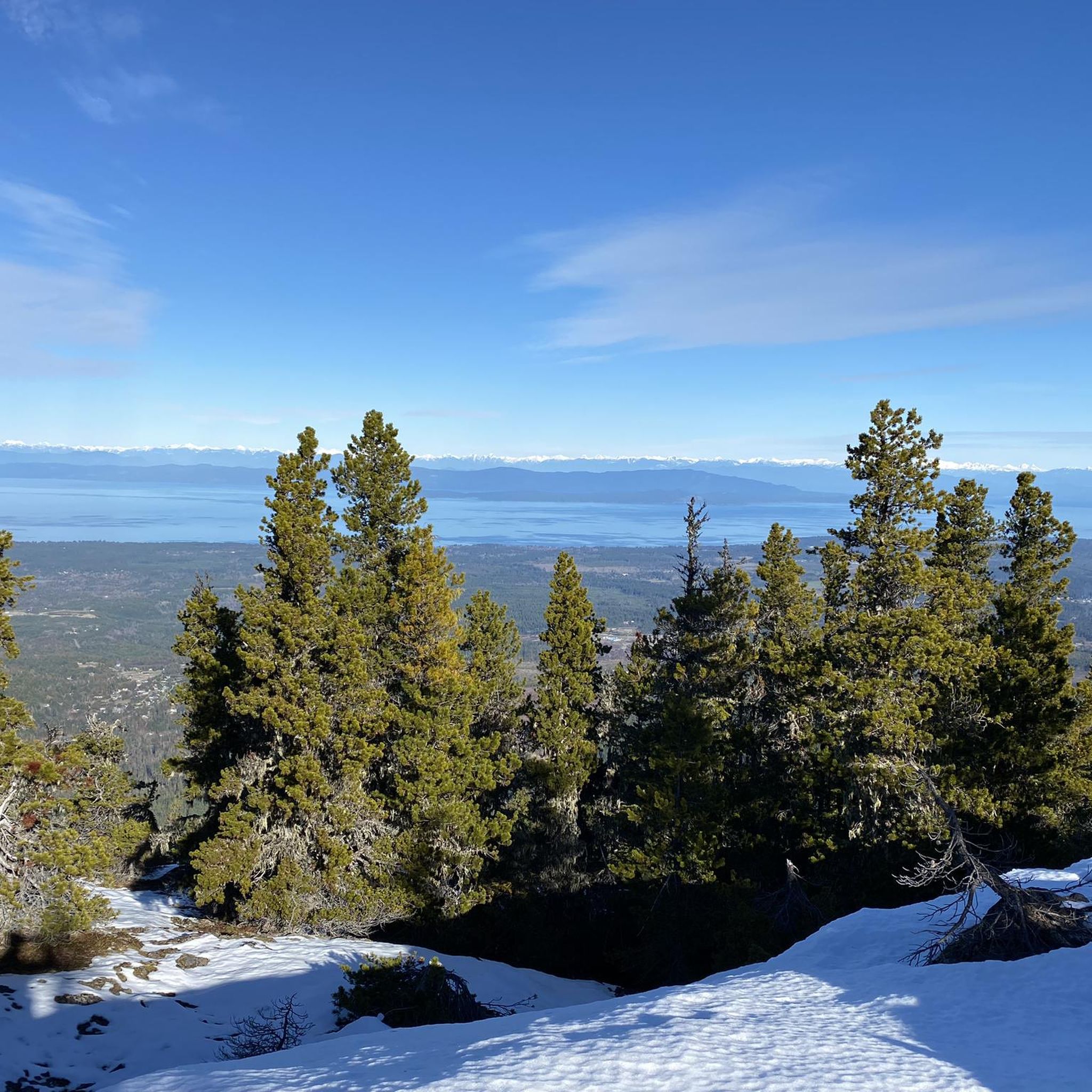
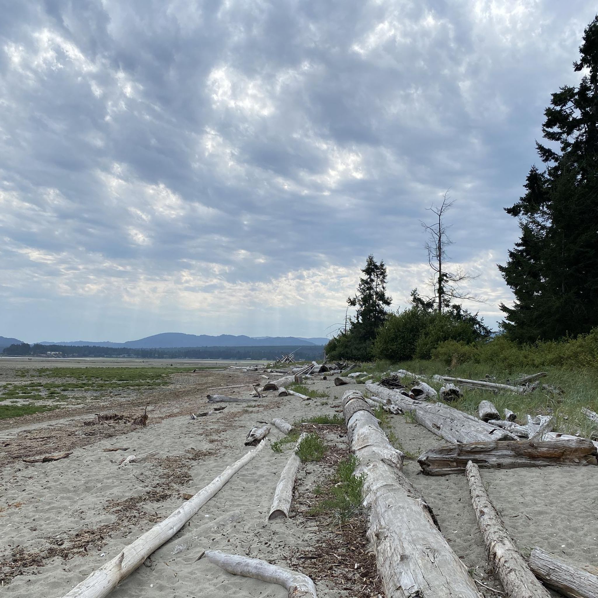
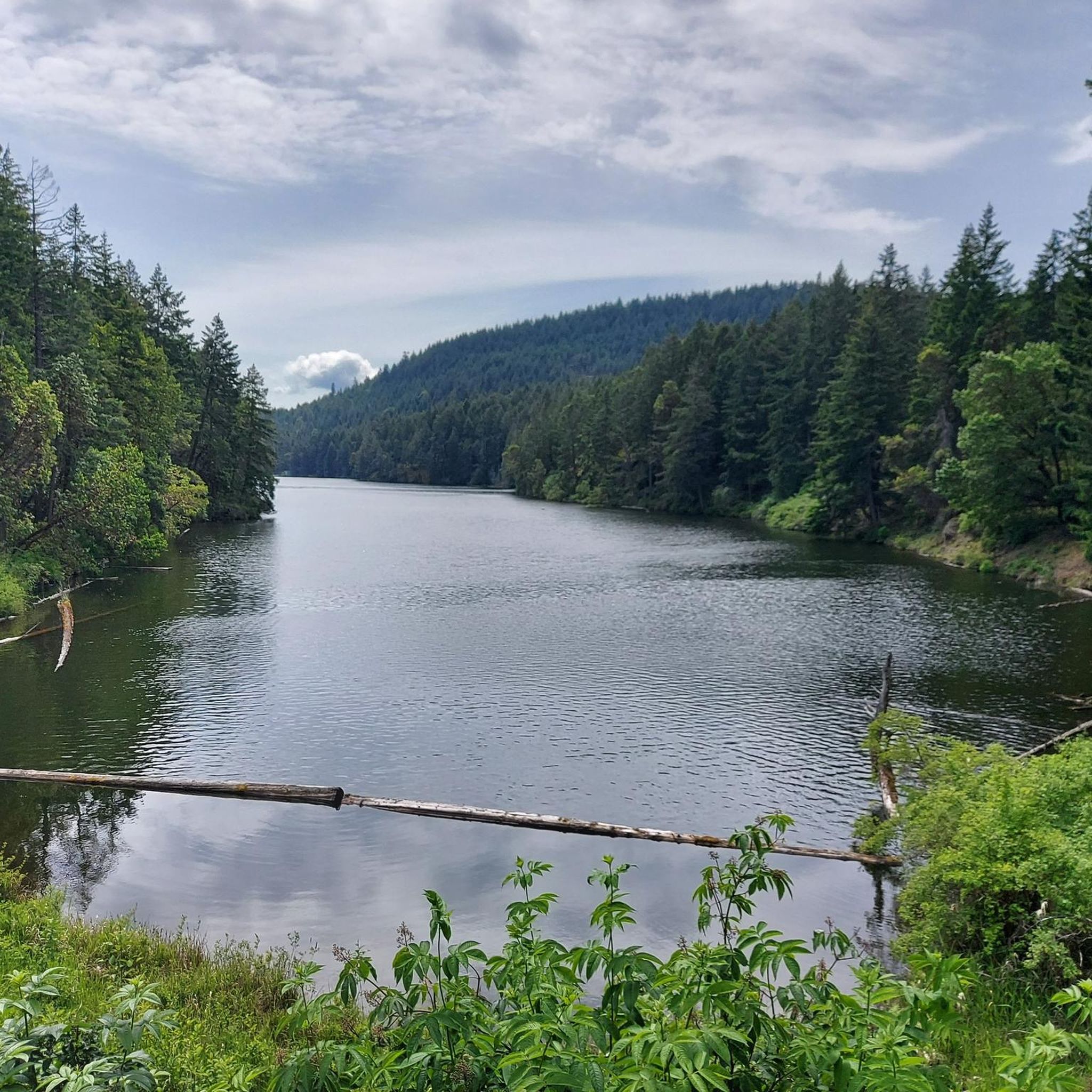
Road cycling routes around Area F (Alberni Highway) traverse a diverse landscape on Vancouver Island, British Columbia. The region features a mix of coastal areas, river valleys, and rolling terrain, with routes offering varied gradients. Cyclists can experience lush forests, views of Cameron Lake, and stretches along the Alberni Highway. The area is characterized by its natural features, including ancient forests and freshwater lakes.
Best road cycling routes around Area F (Alberni Highway)
- The most popular road cycling route is…
Last updated: July 5, 2026
26
riders
42.5km
02:10
450m
450m
Moderate road ride. Good fitness required. Mostly well-paved surfaces and easy to ride.
23
riders
Moderate road ride. Good fitness required. Mostly well-paved surfaces and easy to ride.

Sign up for free
5.0
(1)
12
riders
28.8km
01:24
200m
200m
Moderate road ride. Great for any fitness level. Some segments of this route may be unpaved and difficult to ride.
5.0
(1)
10
riders
Moderate road ride. Good fitness required. Mostly well-paved surfaces and easy to ride.
7
riders
Moderate road ride. Good fitness required. Some segments of this route may be unpaved and difficult to ride.
Get access to more routes and recommendations from other explorers.
Sign up for free
Already have an account?
Our route recommendations are based on thousands of hikes, rides, and runs completed by other people on komoot.
Start today with a free account
Your next adventure awaits.
Login or Signup
Popular around Area F (Alberni Highway)
Tips from the Community

This wide, level, gravel trail covers the seven kilometres between Coombs and Parksville. The path is level and multi-use so most users will find the way easy, whether they're going for a short out and back hike or travelling the full way.
0
0
This small town has a lot of unique charm that you can't find anywhere else. The main attraction is the Old Country Market, which is probably more commonly known as Goats on the Roof, because...there's goats on the roof of course. Inside you'll find unique gift and home decor items as well as a varied selection of groceries. The town also has "Butterfly World" which is an indoor tropical rainforest designed to be a sanctuary for a wide range of butterfly species.
0
0

This extension of the Hoylake Pathway is to the west and follows Hoylake Road closely. The roadside section of trail is out of the woods but then dips back into the woods and follows Grandon Creek out to the sea.
0
0

Qualicum Beach Heritage Forest is 50 acres of old-growth forest with some trees over 500 years in age. The well-marked, mulched trails make for an easy outing.
0
0

A cute little museum, made with a lot of love. Next door is the former train station with a steam locomotive.
1
0

Stop for an adventurous round of mini-golf or just a delicious ice-cream.
0
0
Frequently Asked Questions
Are there easy road cycling routes in Area F (Alberni Highway)?
Yes, Area F (Alberni Highway) offers a selection of easy road cycling routes. There are 4 routes specifically categorized as easy, providing a gentler experience for beginners or those looking for a relaxed ride through the region's coastal and river valley landscapes.
What are some longer road cycling routes in Area F (Alberni Highway)?
For those seeking a longer ride, the Ice Cream Stop – Rocky Coastal Viewpoint loop from Qualicum Beach is a great option, covering 44.9 miles (72.3 km) with extensive coastal views. Another substantial route is the Roadbike loop from Qualicum Beach Airport, which spans 42.9 miles (69.1 km).
Are there any circular road cycling routes in Area F (Alberni Highway)?
Many of the road cycling routes in Area F (Alberni Highway) are designed as loops, offering convenient starting and ending points. Examples include the Ice Cream Stop – Rocky Coastal Viewpoint loop from Qualicum Beach and the Pool – Englishman River loop from Temple at Soriel (NB), allowing you to return to your starting location without retracing your path.
What scenic attractions can I see while road cycling in Area F (Alberni Highway)?
Road cycling in Area F (Alberni Highway) offers views of the Pacific coastline and passes through areas near the Englishman River. You can also find natural attractions such as Cathedral Trail, MacMillan Park, the impressive The Big Tree (Douglas-fir), MacMillan Provincial Park, and the picturesque Hole-in-the-Wall waterfall.
When is the best time of year for road cycling in Area F (Alberni Highway)?
The best time for road cycling in Area F (Alberni Highway) is typically from late spring through early autumn (May to October). During these months, the weather is generally milder and drier, making for more comfortable riding conditions along the coastal paths and river valleys.
Can I go road cycling in Area F (Alberni Highway) during winter?
While road cycling is possible in winter, conditions can be variable. The region experiences a milder climate compared to other parts of Canada, but rain is common, and temperatures can drop. It's advisable to check local weather forecasts and road conditions, and ensure you have appropriate gear for wet and cooler weather if cycling during the winter months.
Are there any specific permits required for road cycling in Area F (Alberni Highway)?
Generally, no specific permits are required for road cycling on public roads and designated cycling routes in Area F (Alberni Highway). However, if you plan to access any private lands or specific park areas, it's always best to check for any local regulations or entry requirements beforehand.
What do other road cyclists enjoy the most about road cycling in Area F (Alberni Highway)?
The komoot community highly rates road cycling in Area F (Alberni Highway), with an average score of 5.0 stars. Reviewers often praise the diverse scenery, including extensive coastal views and rides along the Englishman River, as well as the varied gradients suitable for different skill levels.
Are there any family-friendly road cycling routes in Area F (Alberni Highway)?
While many routes are moderate, the region does offer easier options that can be suitable for families, especially those with some cycling experience. The routes often feature rolling terrain and scenic views, making for an enjoyable outing. Always check the route's difficulty and distance to ensure it matches your family's ability.
Where can I find cafes or pubs near the road cycling routes in Area F (Alberni Highway)?
The routes in Area F (Alberni Highway) often pass through or near communities like Qualicum Beach and Parksville. These towns offer various amenities, including cafes and pubs where you can refuel. For example, the Old Country Market is a notable stop for refreshments and local goods.
What kind of terrain can I expect on road cycling routes in Area F (Alberni Highway)?
The terrain in Area F (Alberni Highway) is characterized by a mix of rolling hills and flatter stretches, particularly along the Alberni Highway. You'll encounter coastal areas, river valleys, and open landscapes, providing varied gradients and scenic backdrops for your ride.
How many road cycling routes are available in Area F (Alberni Highway)?
There are 18 road cycling routes available in Area F (Alberni Highway) for you to explore. These routes cater to various skill levels, with 4 easy and 14 moderate options, ensuring there's a suitable ride for most road cyclists.
Most popular routes around Area F (Alberni Highway)
Most popular attractions around Area F (Alberni Highway)

Get inspired with the komoot mobile app


Explore more
Browse the best Road cycling routes in other regions.
