The best road cycling routes around Våja
3.0
(1)
108
riders
7
rides
Road cycling around Våja, a lake situated at 425 meters above sea level in Hadeland, Norway, offers routes through a landscape characterized by forested areas and the lake itself. The region is part of the Skjervavassdraget river system, providing varied terrain for cyclists. Routes often feature mostly paved surfaces, with some segments potentially unpaved. The area provides a mix of elevation gains suitable for different fitness levels.
Best road cycling routes around Våja
- The most popular road cycling route is…
Last updated: June 29, 2026
2
riders
55.6km
03:12
890m
890m
Moderate road ride. Good fitness required. Some segments of this route may be unpaved and difficult to ride.
2
riders
69.3km
03:39
1,130m
1,130m
Hard road ride. Very good fitness required. Some segments of this route may be unpaved and difficult to ride.

Sign up for free
3.0
(1)
7
riders
28.4km
01:28
420m
420m
Moderate road ride. Good fitness required. Mostly well-paved surfaces and easy to ride.
5
riders
99.0km
05:10
1,230m
1,230m
Hard road ride. Very good fitness required. Some segments of this route may be unpaved and difficult to ride.
20
riders
127km
06:07
1,360m
1,360m
Hard road ride. Very good fitness required. Some segments of this route may be unpaved and difficult to ride.
Get access to more routes and recommendations from other explorers.
Sign up for free
Already have an account?
Our route recommendations are based on thousands of hikes, rides, and runs completed by other people on komoot.
Start today with a free account
Your next adventure awaits.
Login or Signup
Popular around Våja
Tips from the Community

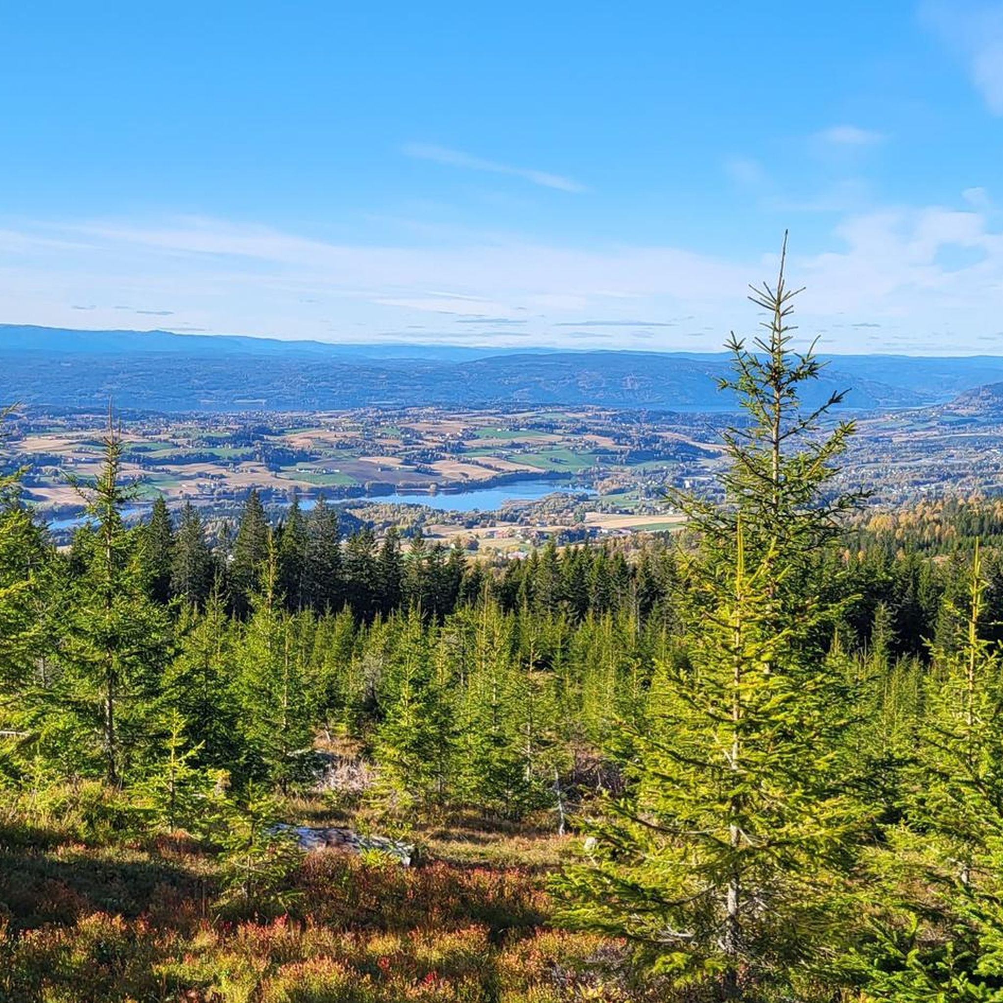
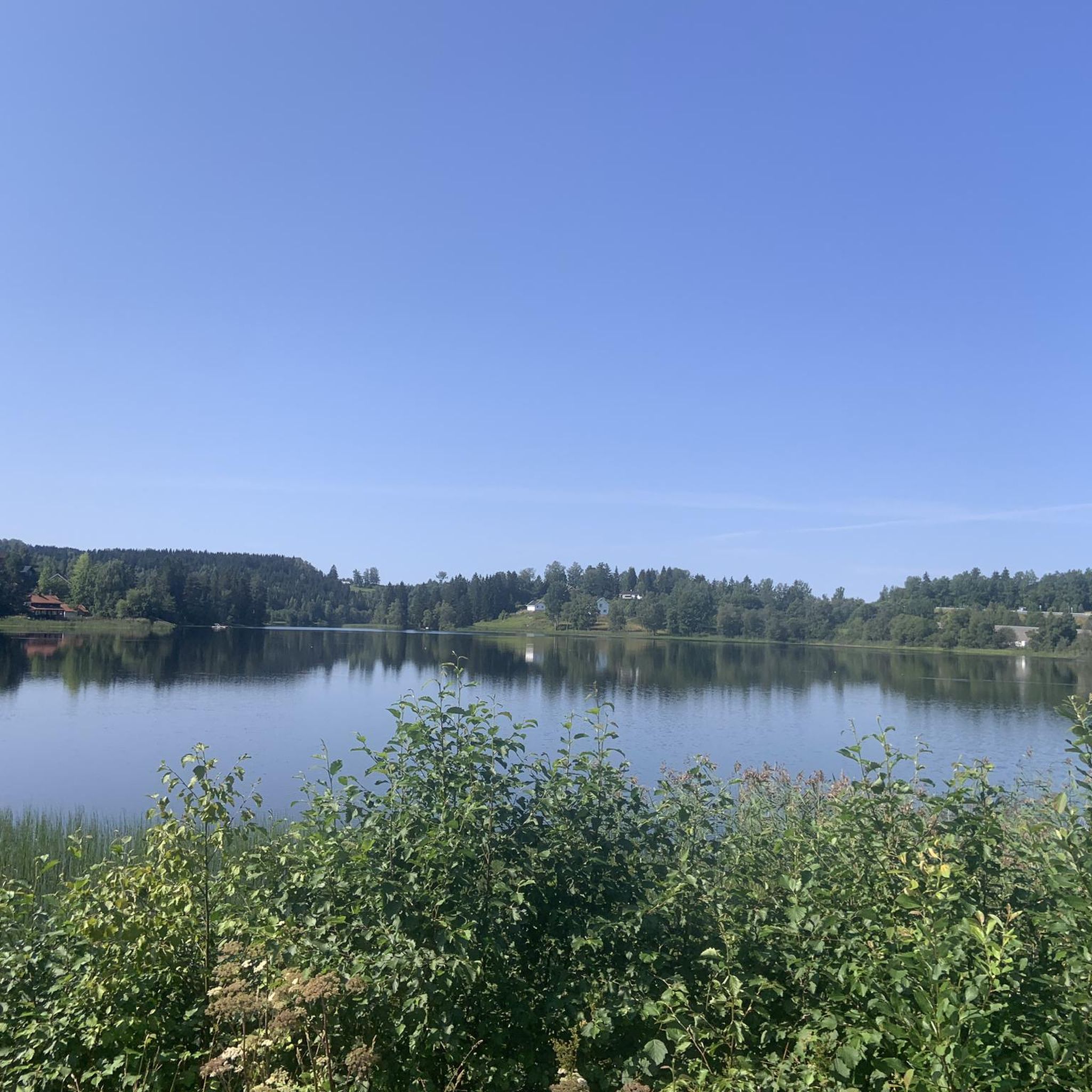
The lake is well hidden behind the forest, but from here you can see its shores and enjoy the magnificent scenery.
0
0
This beautiful forest trail offers a fun and nature-friendly walking experience. In fact, you’ll find several sections designed to protect the ground, with paths built on wooden logs and others on wooden walkways. Please be careful: in wet weather, these paths can be slippery.
0
0

You will spot this church if you go through the village of Bjørke. As is common with many rural churches, it acts as a useful landmark for navigation. Take the chance for a brief pause during your bike tour to observe the building and its setting before continuing on your way.
0
0
This bridge on the Nedre Granlivegen road goes across the Leira river. It serves as a functional crossing point while cycling on the quiet routes in the area. It's a good chance to take a break and enjoy a pleasant view of the river flowing below.
0
0

Frequently Asked Questions
How many road cycling routes are available around Våja?
There are 9 road cycling routes around Våja, offering a mix of moderate and difficult options to explore the region's diverse landscapes.
What kind of terrain can I expect on road cycling routes in Våja?
Routes around Våja feature diverse terrain, primarily forested landscapes and scenic lakeside paths. While most surfaces are paved, some segments might be unpaved, adding to the challenge and variety of the ride.
Are there road cycling routes suitable for different fitness levels in Våja?
Yes, Våja offers routes catering to various fitness levels. You'll find 4 moderate routes, such as the Velofoss loop from Lunner, and 5 more difficult options, like the challenging Kalvsjøtjernet – Stortjernet loop from Grua, which includes significant elevation changes.
What are some notable natural features or landmarks I might see while cycling around Våja?
As you cycle around Våja, you'll experience characteristic Nordic forested landscapes and the serene Våja lake itself, which is situated at 425 meters above sea level. The region is also part of the Skjervavassdraget river system, offering picturesque views of water and reflections of pine trees.
Are there any circular road cycling routes in the Våja area?
Yes, many of the routes around Våja are designed as loops, providing circular journeys. Examples include the Brattfossen – Svenskesletta loop from Stokke and the Kruka – Fulgetårnet i Røykenvik loop from Gran, allowing you to start and end at the same point.
What do other road cyclists enjoy most about cycling in Våja?
The area is highly rated by the komoot community, with an average score of 3.0 stars. Cyclists often praise the varied terrain, the beautiful forested landscapes, and the peaceful atmosphere around Våja lake.
What is the best time of year for road cycling in Våja?
Given Våja's location in Norway, the best time for road cycling is typically during the warmer months, from late spring through early autumn (May to September), when the weather is milder and the roads are clear of snow and ice. This allows for optimal enjoyment of the forested and lakeside scenery.
Are there any particularly long or challenging road cycling routes for experienced riders?
For experienced riders seeking a challenge, routes like the Elgsjøen – Kalvsjøtjernet loop from Slattumhagen stand out. This difficult route covers nearly 100 km and features over 1200 meters of elevation gain, demanding very good fitness.
Can I find routes that offer significant elevation gain for training?
Absolutely. Many routes in Våja offer substantial elevation gain. For instance, the Kalvsjøtjernet – Stortjernet loop from Grua includes over 1000 meters of ascent, making it ideal for challenging climbs and training.
Are there any road cycling routes that are particularly scenic or offer great viewpoints?
The routes around Våja are inherently scenic, winding through forested areas and alongside the lake. The diverse terrain ensures varied views, from tranquil lakeside reflections to panoramic vistas over the Hadeland region, especially on routes with higher elevation gains.
What is the typical duration for road cycling routes in Våja?
The duration varies significantly based on the route's length and difficulty. For example, a moderate route like the Velofoss loop from Lunner can be completed in about 1 hour 28 minutes, while a difficult, longer route such as the Elgsjøen – Kalvsjøtjernet loop from Slattumhagen might take over 5 hours.

Get inspired with the komoot mobile app


Explore more
Browse the best Road cycling routes in other regions.
