The best cycling routes around Comox Valley B (Lazo North)
4.9
(11)
214
riders
24
rides
Touring cycling routes around Comox Valley B (Lazo North) traverse a diverse landscape featuring coastal intertidal zones, wetlands, and old-growth upland forests. The region includes the Comox Peninsula, offering scenic seaside views, and significant natural areas like Lazo Marsh-North East Comox Wildlife Management Area. Cyclists can explore varied terrain, from flat multi-use paths to routes with moderate elevation gains. This area provides a rich variety of ecosystems for touring cyclists.
Best touring cycling routes around Comox Valley B (Lazo North)
…Last updated: September 1, 2026
5.0
(1)
34
riders
29.1km
01:47
250m
250m
Moderate bike ride. Good fitness required. Mostly paved surfaces. Suitable for all skill levels.
5.0
(1)
15
riders
Moderate bike ride. Good fitness required. Mostly paved surfaces. Suitable for all skill levels.

Sign up for free
5.0
(1)
8
riders
Moderate bike ride. Good fitness required. Mostly paved surfaces. Suitable for all skill levels.
5.0
(2)
16
riders
43.0km
03:11
370m
370m
Moderate bike ride. Good fitness required. Mostly paved surfaces. Suitable for all skill levels.
12
riders
Moderate bike ride. Good fitness required. Mostly paved surfaces. Suitable for all skill levels.
Get access to more routes and recommendations from other explorers.
Sign up for free
Already have an account?
Our route recommendations are based on thousands of hikes, rides, and runs completed by other people on komoot.
Start today with a free account
Your next adventure awaits.
Login or Signup

Tips from the Community

Wildwood Interpretive Forest is a popular natural area located near Courtenay in the Comox Valley. Covering approximately 276 hectares (682 acres), the forest features an extensive network of well-maintained multi-use trails that provide opportunities for hiking, trail running, mountain biking, and nature appreciation. Surrounded by the beauty of Vancouver Island’s coastal landscape, the forest offers visitors a peaceful setting for outdoor recreation and exploration.
0
0
This vintage British Columbia legal survey monument, located within the Wildwood Interpretive Forest, is a fascinating reminder of the province’s rich history of land measurement, mapping, and resource management. Constructed from durable materials such as metal or concrete, these markers were designed to withstand the elements and remain identifiable for generations.
0
0

You can park on Piercy Road across from the yellow gate under the power lines, by the K'omos Treat Lands sign. From here, walk past the yellow gate and follow the powerline trail for a short ways to reach the turnoff for the falls.
0
0

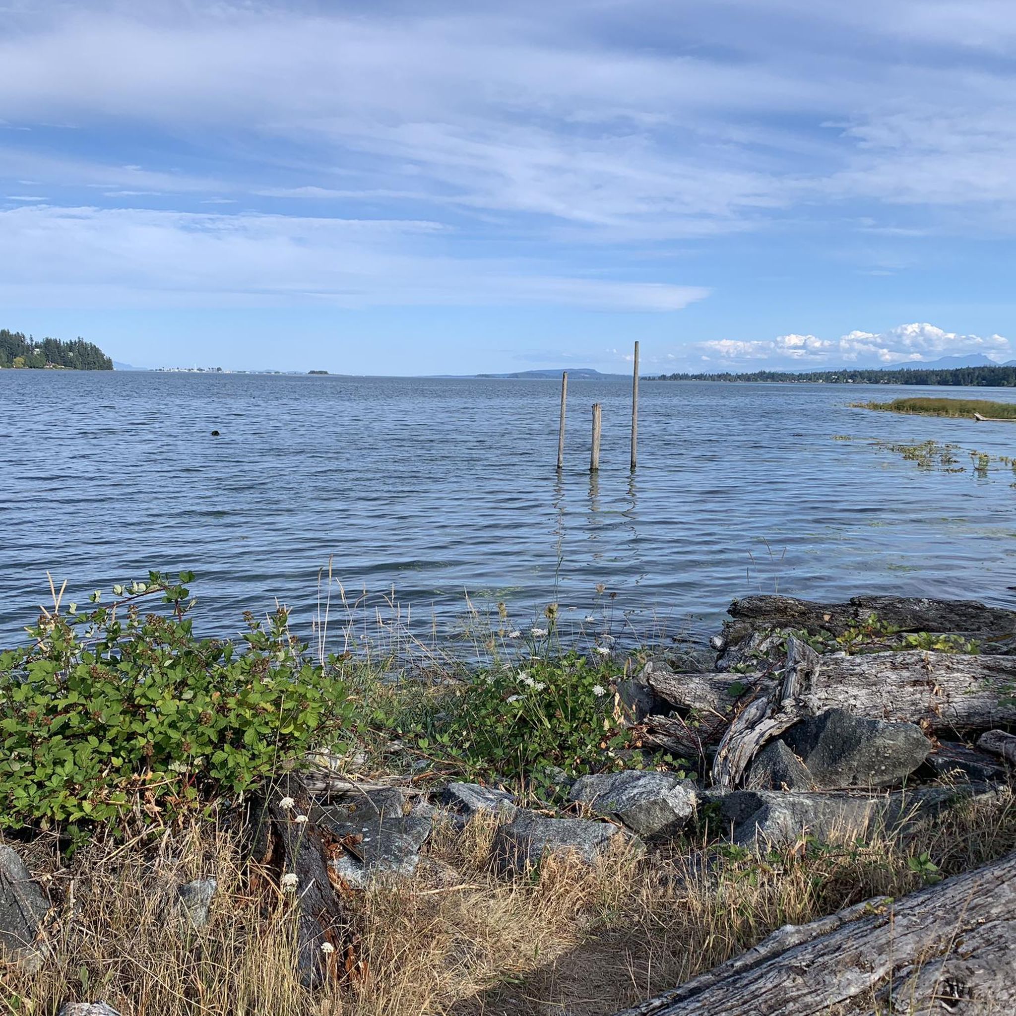
Comox North East Woods is a protected forest shaped by residents who resisted development plans in the 1990s and helped secure the land for conservation. With additional forest and trails leased by K’ómoks First Nation for public recreation, the area protects a rich mix of habitats, from wetlands and riparian zones to rare sand dune plant communities and old-growth upland forest.
0
0

The Puntledge River Trail is a fantastic way to explore the banks of the Puntledge River and Bevan City ruins. This area has bears, so be bear aware, and don't leave food in parked cars. The trail itself is really flat and well-maintained and passes through tall second growth forests with wonderful river viewpoints and a few swimming holes along the way.
0
0
The Puntledge River flows 48 kilometres from Comox Lake until reaching the Strait of Georgia. This river is teeming with life, with massive salmon runs as well as great swimming, tubing and hiking opportunities. Be careful when taking a dip as many areas have strong currents, so choose designated swimming holes in calm parts of the river.
0
0
This path takes you through Courtenay's urban area, partially sheltered on either side by strips of greenery, between downtown and the riverfront. You share the path with cyclists, but the trail is paved and divided to ease multi-use traffic.
0
0

Great neighborhood pub. Friendly service, good food, wonderful patio in the summer.
0
0
Frequently Asked Questions
How many touring cycling routes are available in Comox Valley B (Lazo North)?
Comox Valley B (Lazo North) offers a diverse network of over 20 touring cycling routes. These routes cater to various skill levels, including 6 easy, 17 moderate, and 4 more challenging options, ensuring there's a ride for every cyclist.
What kind of landscapes will I experience while touring cycling in Comox Valley B (Lazo North)?
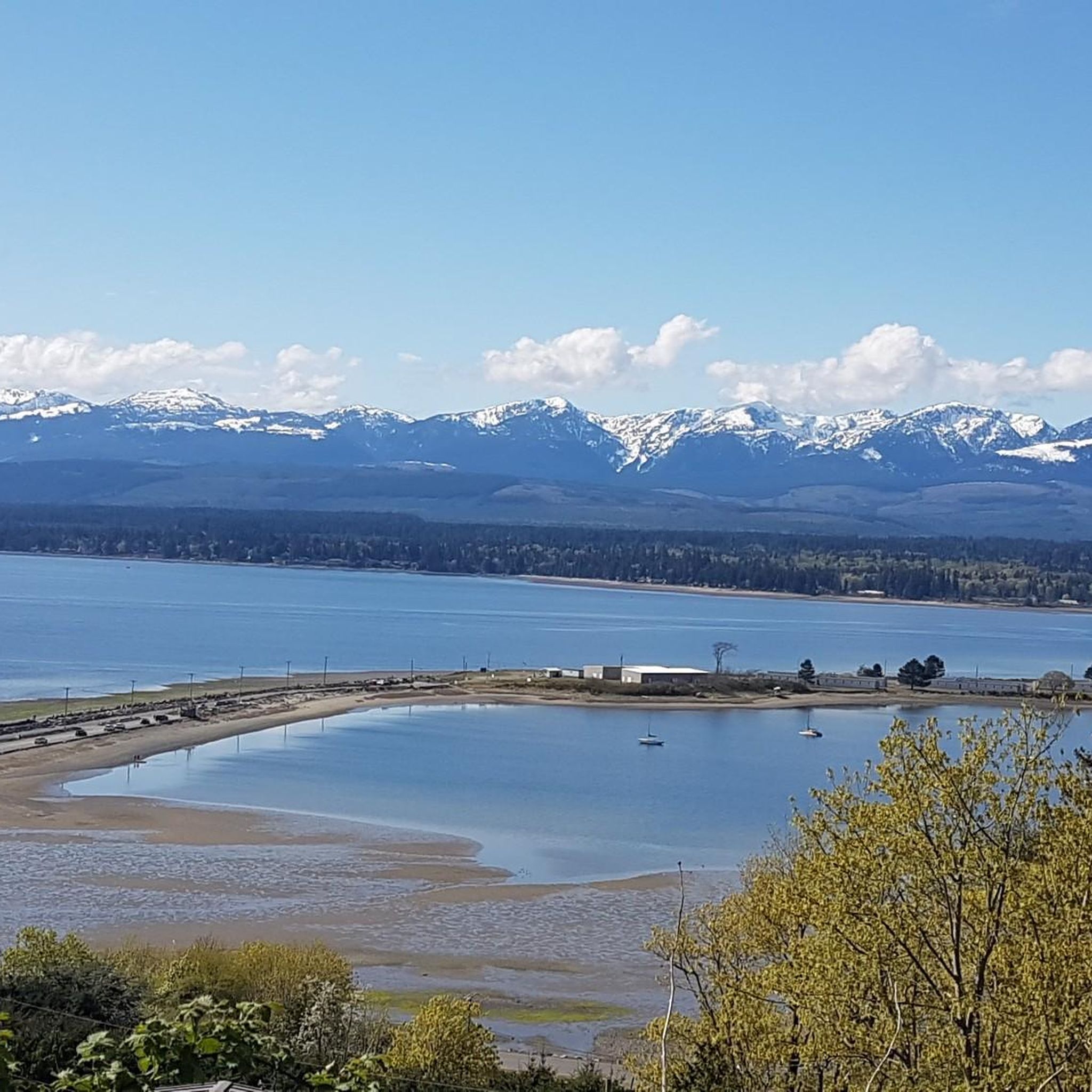
You'll encounter a rich variety of landscapes, from coastal intertidal zones and wetlands to old-growth upland forests. The region features the scenic Comox Peninsula, offering seaside views, and significant natural areas like the Lazo Marsh-North East Comox Wildlife Management Area and Seal Bay Nature Park, known for their unique ecosystems and abundant wildlife.
Are there any family-friendly touring cycling routes in Comox Valley B (Lazo North)?
Yes, there are several options suitable for families. The region offers 6 easy touring cycling routes that are generally shorter and flatter, perfect for a leisurely ride. While specific family-designated routes aren't listed, you can look for routes that pass by places like Air Force Beach, which is known as a family-friendly spot.
What are some notable landmarks or attractions I can see along the cycling routes?
Many routes offer access to beautiful natural attractions. You might encounter the impressive Nymph Falls, explore the regenerating forests and cobbled beaches of Seal Bay Nature Park, or enjoy the serene waters of China Bowls. The Kye Bay beach is also a lovely spot to visit.
Are there any circular touring cycling routes in Comox Valley B (Lazo North)?
Yes, many of the touring cycling routes in the area are designed as loops, allowing you to start and end at the same point. Examples include the Robb Bluff – Comox Heritage Airpark loop from Comox, the Church Street Taphouse – Comox Heritage Airpark loop from Kin Beach Provincial Park, and the One Spot Trailhead – Lerwick Forest loop from Courtenay Airpark.
What is the best time of year to go touring cycling in Comox Valley B (Lazo North)?
The Comox Valley B (Lazo North) region is generally pleasant for cycling from spring through fall. The mild climate means many routes are accessible for much of the year. Summer offers the warmest weather, while spring and fall provide cooler temperatures and vibrant natural scenery, especially around areas like Lazo Marsh and Seal Bay Nature Park.
Are there any challenging touring cycling routes for experienced riders?
Yes, for experienced touring cyclists seeking a challenge, there are 4 difficult routes in the area. One notable option is the Robb Bluff – One Spot Trailhead loop from Lazo Marsh-North East Comox Wildlife Management Area, which covers over 55 km with significant elevation gain, offering a demanding yet rewarding experience through diverse terrain.
Where can I find parking for touring cycling routes in Comox Valley B (Lazo North)?
Parking availability varies by route. Many popular starting points, such as Kin Beach Provincial Park or areas near the Comox Heritage Airpark, offer designated parking. For specific routes, it's advisable to check the route details on komoot for information on recommended starting points and parking facilities.
What do other touring cyclists enjoy most about cycling in Comox Valley B (Lazo North)?
The area is highly rated by the komoot community, with an average score of 4.9 stars from over 9 reviews. Cyclists often praise the diverse terrain, which includes coastal sections, wetlands, and forests, as well as the well-maintained paths and the scenic views, particularly along the Comox Peninsula.
Can I access these touring cycling routes using public transport?
While specific public transport connections directly to every trailhead may vary, the Comox Valley Transit System serves the broader region. You may be able to reach areas close to some route starting points, such as Courtenay or Comox, and then cycle to the trailhead. It's recommended to check local transit schedules and bike-on-bus policies for detailed planning.
Are there any cafes or pubs near the touring cycling routes for a break?
Yes, the towns of Comox and Courtenay, which serve as starting or passing points for several routes, offer various cafes, pubs, and restaurants. For example, the Church Street Taphouse – Comox Heritage Airpark loop from Kin Beach Provincial Park is named after a local establishment, indicating opportunities for refreshment along or near the routes.
What is the longest touring cycling route available in the area?
One of the longer routes is the Robb Bluff – One Spot Trailhead loop from Lazo Marsh-North East Comox Wildlife Management Area, spanning over 55 kilometers. Another substantial option is the Church Street Taphouse – Comox Heritage Airpark loop from Aspen Grove Centre, which is approximately 51.5 kilometers long.
Most popular routes around Comox Valley B (Lazo North)
Most popular attractions around Comox Valley B (Lazo North)

Get inspired with the komoot mobile app


Explore more
Browse the best Cycling routes in other regions.
