The best running trails in Kings Canyon National Park
5.0
(1)
107
runners
13
runs
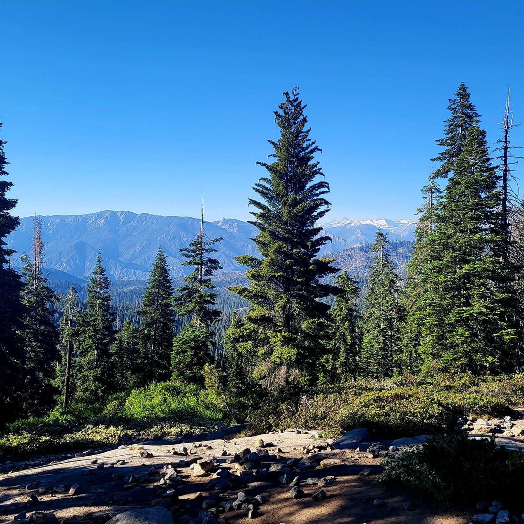
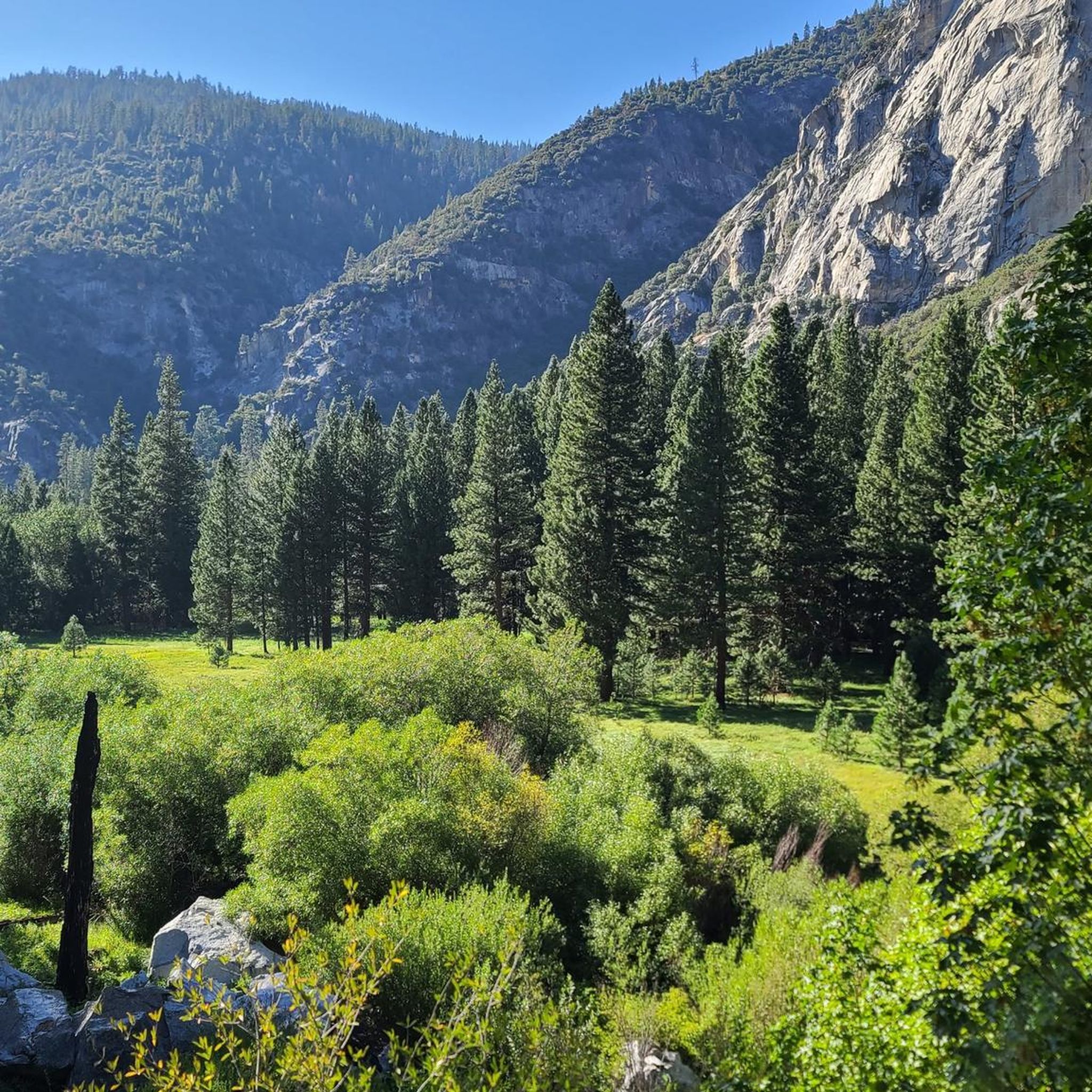
Jogging in Kings Canyon National Park offers diverse terrain, from towering granite walls and glacially carved valleys to expansive sequoia forests. The region features significant elevation changes, providing a variety of running experiences. Runners can explore paths alongside rivers and through alpine meadows, encountering a range of ecosystems. The park's landscape provides a compelling backdrop for both easy and challenging running routes.
Best jogging routes in Kings Canyon National Park
- The most popular jogging route is North Grove Loop,…
Last updated: July 7, 2026
1
runners
6.20km
00:48
140m
140m
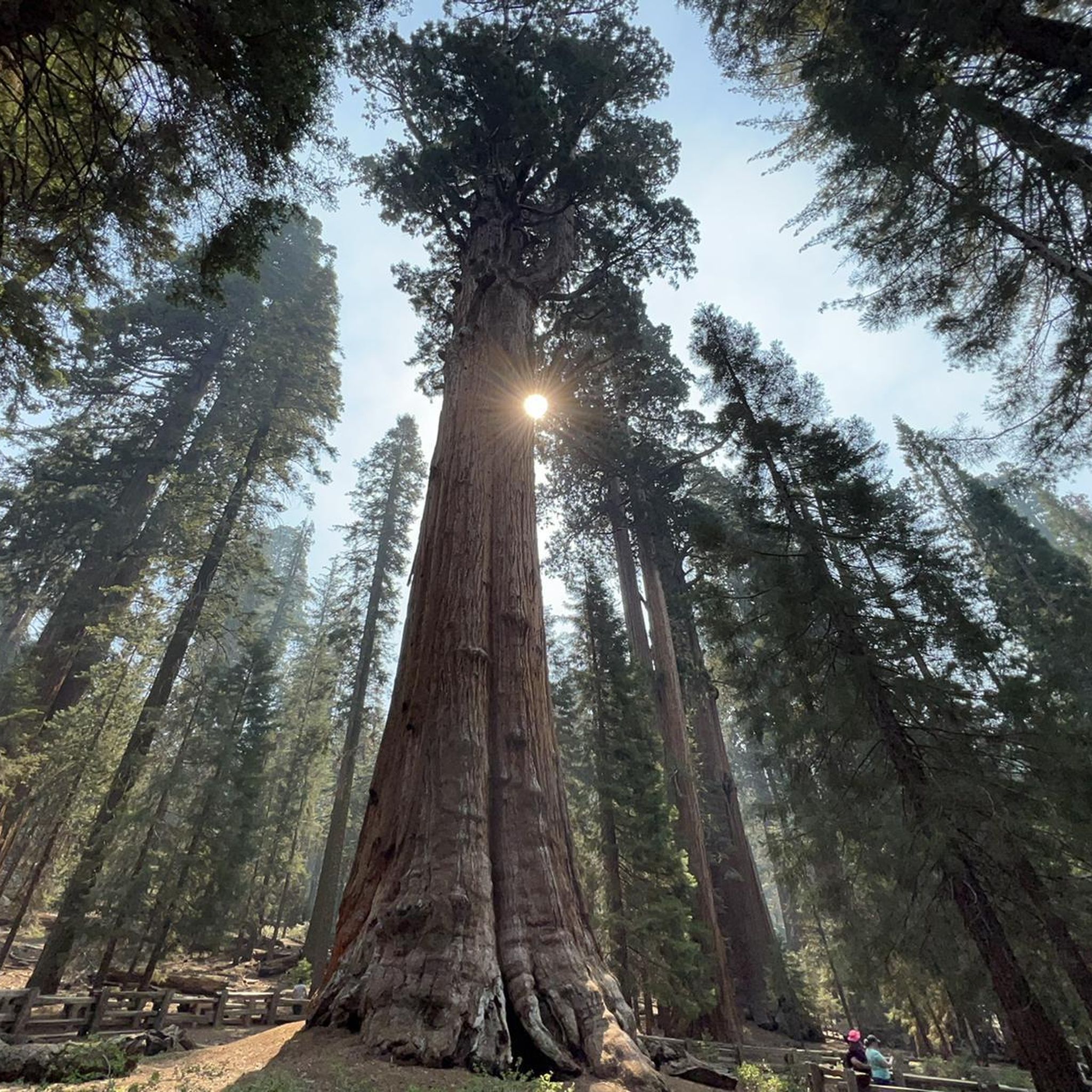
Jog the North Grove Loop in Kings Canyon National Park, a moderate 3.9-mile route through a majestic sequoia forest.
4
runners
10.7km
01:31
420m
420m
Embark on a difficult jogging route through the high Sierra on the Chocolate Lakes loop via Bishop Pass Trail. This challenging 6.7-mile (10.7 km) loop will have you gaining 1386…

Sign up for free
5.0
(1)
51
runners
6.63km
00:52
180m
180m
If you're looking for a scenic jogging route that feels like a true mountain adventure without being overly strenuous, the Tokopah Falls Trail is a top pick. This moderate 4.1…
20
runners
17.4km
02:33
780m
780m
The North Fork Big Pine Creek Trail offers a challenging jogging experience through the stunning High Sierra. You will cover a distance of 10.8 miles (17.4 km) with a significant…
5
runners
9.61km
01:25
430m
430m
The Sabrina Basin Trail presents a difficult jogging challenge, covering 6.0 miles (9.6 km) with a substantial elevation gain of 1408 feet (429 metres). Expect to spend around 1 hour…
Get access to more routes and recommendations from other explorers.
Sign up for free
Already have an account?
Our route recommendations are based on thousands of hikes, rides, and runs completed by other people on komoot.
Start today with a free account
Your next adventure awaits.
Login or Signup
Popular around Kings Canyon National Park

John Muir Trail – Along the legendary trail through the magical Sierra Nevada

The Sierra High Route — Solitude in California's alpine country

Pacific Crest Trail from Mexico to Canada – 4,200 kilometres of wilderness
Hiking in Kings Canyon National Park
Cycling in Kings Canyon National Park
Road Cycling Routes in Kings Canyon National Park
Other adventures in Kings Canyon National Park


Tips from the Community

From this spot you get a great view of a short cascade over a rock step and down bare rock face. The cascade is created by the Kaweah River, which begins in Sequoia National Park and is fed largely by snowmelt.
1
0

The pictures taken from this small rocky outcrop above Second Lake, marked here by a tentsite symbol, are ICONIC. If the pictures above look familiar, that’s because… well.. they are! Temple Crag from across Second Lake is one of the most frequently photographed “scenes” of the Eastern Sierras. Just a quick search on the internet of “Big Pine Lakes” will pull up countless pictures almost identical to each other of this exact lake/peak combo. (Seriously, try it 😂) And honestly, it’s easy to understand why! The setting is otherwordly!
1
0
FIRST Lake is, ironically, the LAST place for this water to rest before heading down through Big Pine Valley as the North Fork Big Pine Creek and entering, as a tributary, the Owens River 6,000ft below! To the east you are offered a lovely view to Mount Alice, while to the south Temple Crag commands your attention! The water in First Lake, as well as the ither Big Pine Lakes, often can be seen with a beautiful teal hue, caused by the refraction of sunlight on particles of glacial silt in the water!
0
0

Blue Lake sits just a few miles after South Lake, in a beautiful alpine landscape. After Blue Lake you can choose your path to many other pristine and isolated alpine lakes.
1
0

Third Lake, like the other reservoirs along the North Fork Big Pine Creek Trail, has a bunch of camping around the shores of the water. Just make sure to follow LNT principles if you stay overnight (or even if you just hang out by the lake for part of the day).
0
0
Every alpine lake has its own qualities that make it stand out, but Second Lake has often been called the most beautiful of the numbered lakes in this part of the John Muir Wilderness. This could be because it's the biggest or because it's the easiest to explore in depth since there is a spur trail that travels between this lake and First Lake.
0
0
First Lake is one of many reservoirs in this section of the John Muir Wilderness and Inyo National Forest. This is a gorgeous lake that you'll view from above from the North Fork Big Pine Creek Trail with Mount Alice towering in the background.
0
0

Ruwau Lake is one of several lakes you will pass along the Chocolate Ruwau Loop Trail. Towering around the lake are the peaks of Mount Goode and Picture Puzzle, which makes it a great place for a break to enjoy the amazing view.
0
0
Frequently Asked Questions
How many running routes are available in Kings Canyon National Park?
Kings Canyon National Park offers over 15 running routes, catering to various skill levels. These trails range from easy, family-friendly paths to challenging, high-elevation runs.
What kind of terrain can I expect on the running trails in Kings Canyon National Park?
You can expect a diverse range of terrain, from relatively flat, mostly paved paths winding through majestic sequoia forests, such as the North Grove Loop, to rugged, high-elevation trails with significant climbs and alpine views. The park's landscape includes glacially carved valleys, granite walls, and expansive forests.
Are there any easy or moderate running trails suitable for beginners or families?
Yes, Kings Canyon National Park has several easy to moderate options. The North Grove Loop is a moderate 3.9-mile route through a sequoia forest, offering a relatively flat surface. The Zumwalt Meadow Trail also provides scenic and mostly flat running opportunities. For a shorter, easy option, consider the Hume Lake – Hume Lake loop from Hume.
What are some challenging running routes for experienced runners in Kings Canyon National Park?
For experienced runners, Kings Canyon offers several demanding trails. The Gilbert Lake – Big Pothole Lake Viewpoint loop from Little Pothole Lake is a difficult 8.5-mile path with alpine views. Another challenging option is the Chocolate Lakes loop via Bishop Pass Trail, which leads through high Sierra landscapes. The Long Lake, North End – Bishop Pass loop from Hillside Dam is also a hard run demanding very good fitness.
Are there any circular running routes in the park?
Yes, many of the running routes in Kings Canyon National Park are circular, allowing you to start and end at the same point. Examples include the North Grove Loop, the Chocolate Lakes loop via Bishop Pass Trail, and the Hume Lake – Hume Lake loop from Hume.
What kind of natural attractions or landmarks can I see while running in Kings Canyon National Park?
Kings Canyon National Park is rich with natural beauty. You can run past towering sequoia trees, including the General Grant Tree, which has its own trailhead: General Grant Tree Trailhead. Other sights include the Fallen Monarch Tree, stunning waterfalls like Ella Falls and Roaring River Falls, and beautiful alpine lakes such as Middle Rae Lake and Lake and campsites below Glen Pass.
What do other runners enjoy most about jogging in Kings Canyon National Park?
The running routes in Kings Canyon National Park are highly rated by the komoot community, with an average score of 5.0 stars. Reviewers often praise the breathtaking scenery, diverse terrain, and the opportunity to experience both majestic sequoia forests and dramatic alpine landscapes. The variety of routes ensures there's something for every fitness level.
Are there any specific permits required for running or overnight trips in Kings Canyon National Park?
While day running generally doesn't require permits, overnight trips, especially into the wilderness areas, typically require a wilderness permit. It's always best to check the official National Park Service website or visit a visitor center like the Grant Grove Visitor Center for the most current regulations regarding permits, especially for longer or high-elevation routes like the Rae Lakes Loop.
What is the best time of year for trail running in Kings Canyon National Park?
The best time for trail running in Kings Canyon National Park is generally from late spring through early fall (May to October). During these months, most trails are clear of snow, and the weather is more favorable. However, conditions can vary significantly with elevation; high-elevation trails may remain snow-covered into July. Always check current trail conditions before heading out.
Are there options for public transport to access trailheads in Kings Canyon National Park?
Public transport options within Kings Canyon National Park are limited. While there are shuttle services available in certain areas during peak season, most trailheads are best accessed by private vehicle. It's advisable to check the official park website for current shuttle schedules and accessibility information if you plan to rely on public transport.
What should I bring for a summer run in Kings Canyon National Park?
For summer running in Kings Canyon, essential items include plenty of water, sun protection (hat, sunglasses, sunscreen), appropriate trail running shoes, layers of clothing as temperatures can change, and a map or GPS device. For longer runs, consider carrying snacks, a first-aid kit, and bear spray, as wildlife is present. Always inform someone of your planned route and expected return time.
Are there any less crowded running routes in Kings Canyon National Park?
To find less crowded running routes, consider exploring trails that are slightly off the main tourist paths or visiting during off-peak hours (early mornings or late afternoons). High-elevation or more challenging routes, such as the Gilbert Lake – Big Pothole Lake Viewpoint loop from Little Pothole Lake, tend to see fewer visitors than popular, easily accessible trails.
Most popular routes in Kings Canyon National Park
Most popular attractions in Kings Canyon National Park

Get inspired with the komoot mobile app


Explore more
Browse the best Running Trails & Routes in other regions.
