Sequoia National Park
Sequoia National Park
Top 7 Mountain Passes in Sequoia National Park
Best mountain passes in Sequoia National Park are located in California's southern Sierra Nevada. The park is characterized by deep canyons and towering mountain landscapes, offering high-alpine experiences. These passes traverse significant natural features, providing routes for hikers and backpackers.
Best mountain passes in Sequoia National Park
- The most popular mountain passes is Forester Pass, a mountain pass that is the highest point along both the Pacific Crest Trail and the John Muir Trail. It is known for its…
Last updated: September 29, 2026
Forester Pass
Highlight • Mountain Pass
Tip by

George Stewart Memorial
Highlight • Mountain Pass
Tip by

Sign up now to discover places like this
Get recommendations on the best single tracks, peaks, & plenty of other exciting outdoor places.
Trail Crest
Highlight • Mountain Pass
Tip by

Shepherd Pass summit
Highlight • Summit
Tip by
Whitney Portal junction
Highlight • Trail
Tip by
Sign up for free to discover even more mountain passes in Sequoia National Park.
Already have an account?
Start today with a free account
Your next adventure awaits.
Popular around Sequoia National Park

John Muir Trail – Along the legendary trail through the magical Sierra Nevada
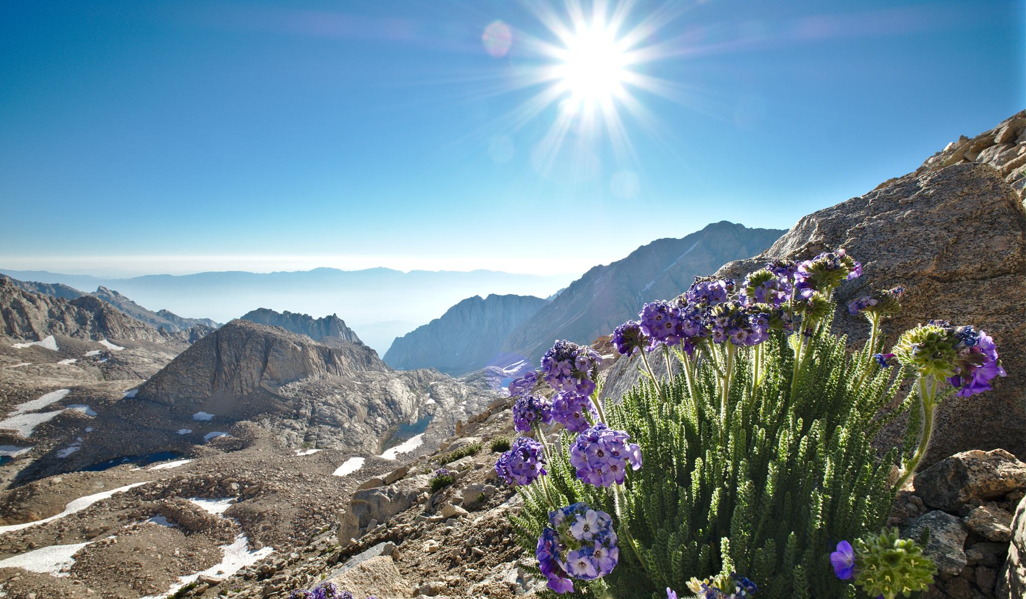
The High Sierra Trail — The Ultimate Sierra Experience

The pristine beauty of the US National Parks
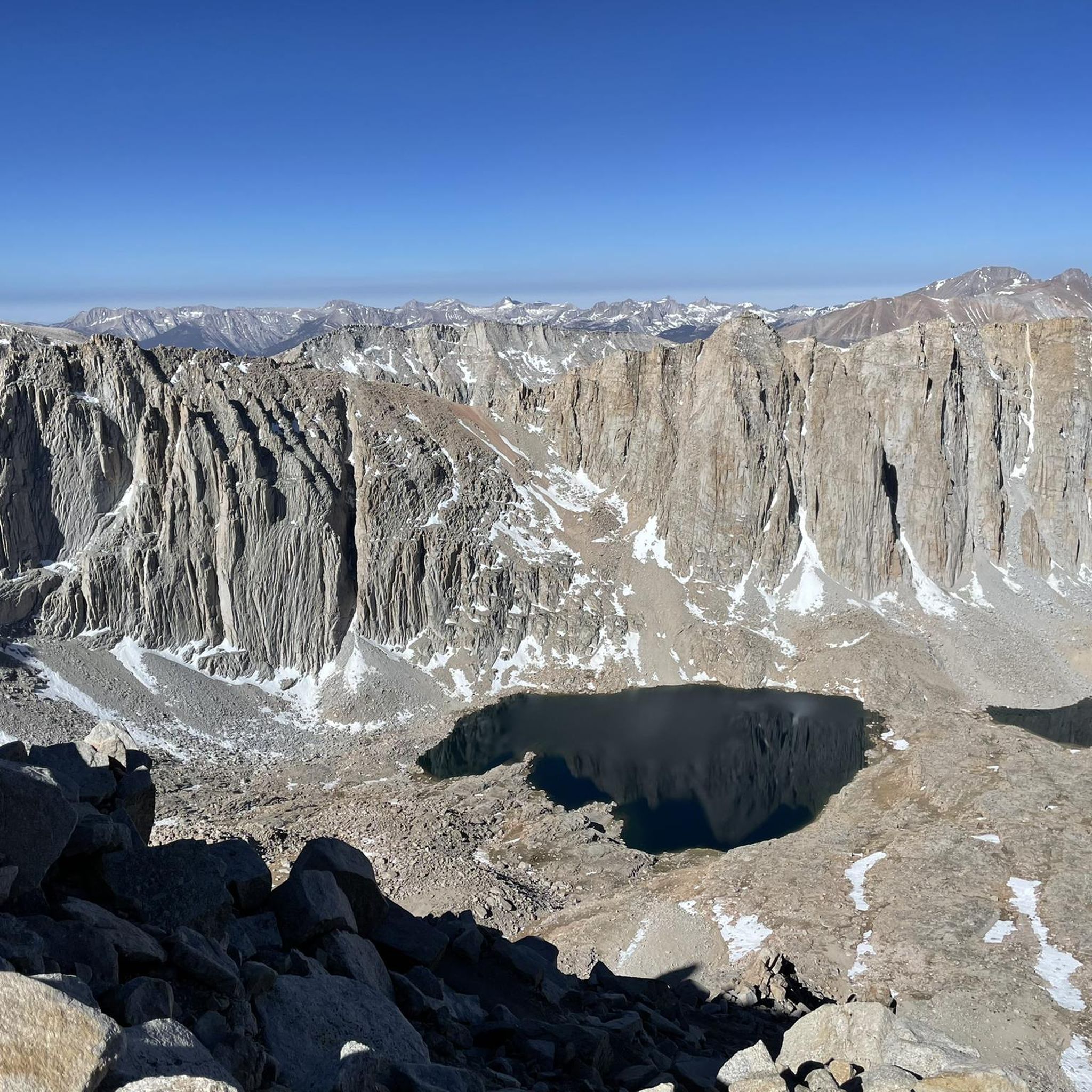
Hiking in Sequoia National Park
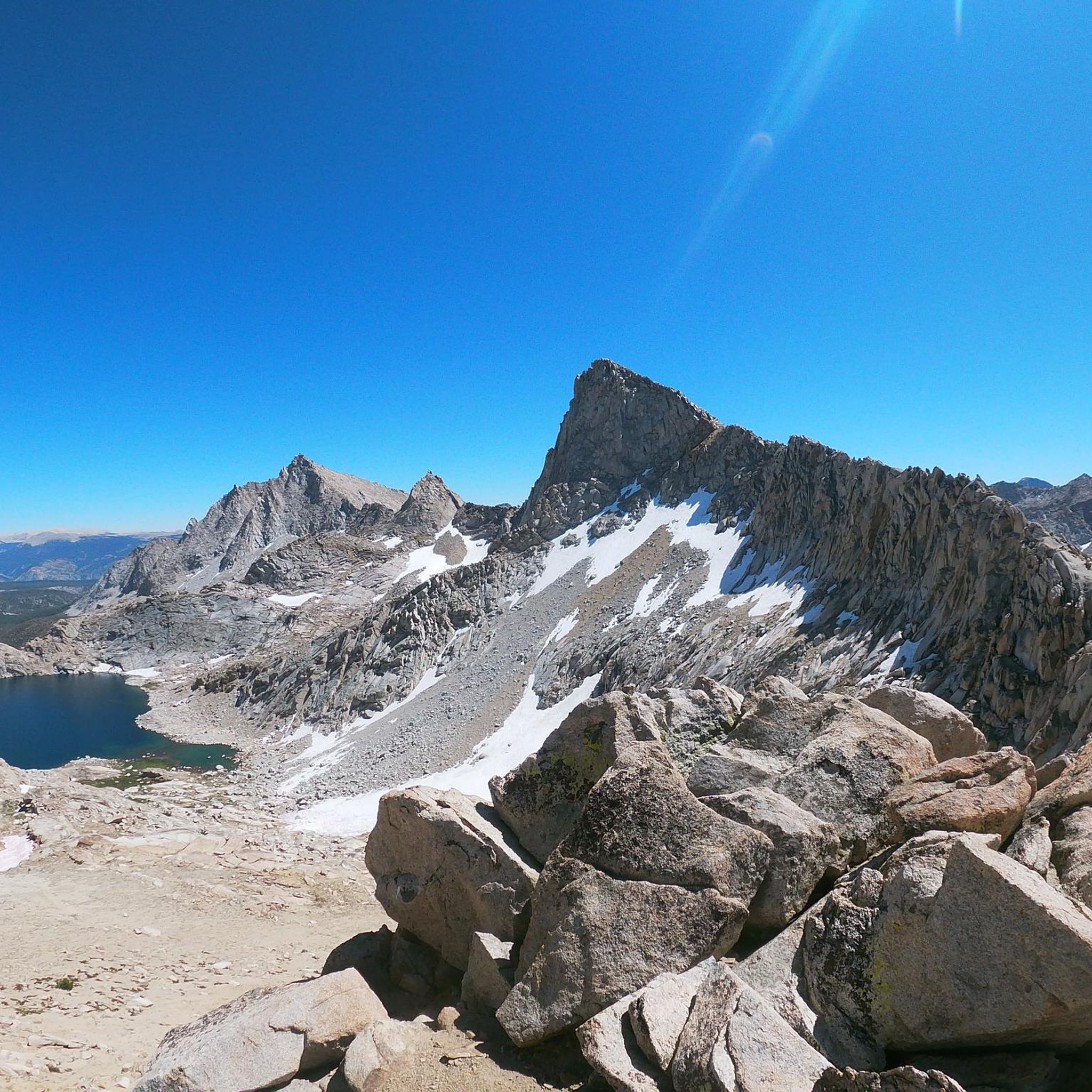
Running Trails in Sequoia National Park
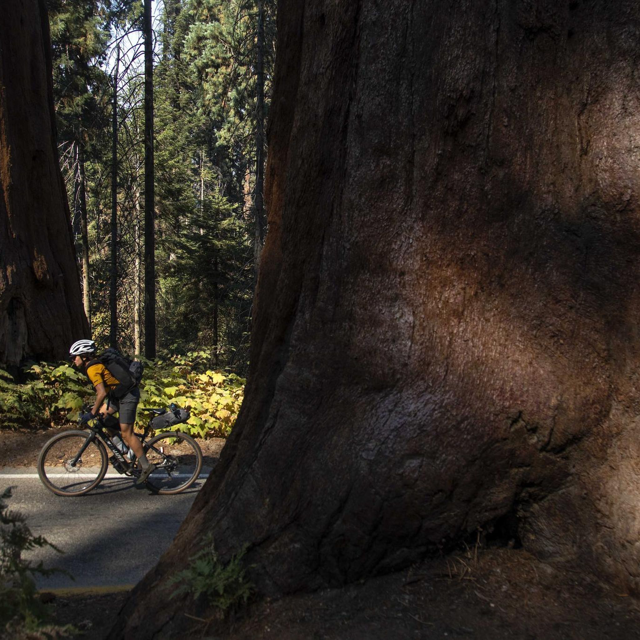
Cycling in Sequoia National Park
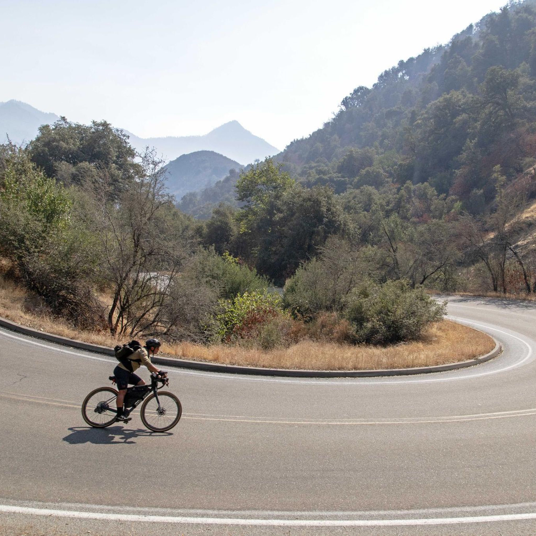
Road Cycling Routes in Sequoia National Park
Other adventures in Sequoia National Park


Tips from the Community

Trail Crest is a major junction at 13,600 feet where the High Sierra Trail meets the Mt. Whitney Trail on the eastern side of the Sierra Nevada. It marks the highest pass on the route before summiting Mount Whitney (14,505 feet) or descending toward Whitney Portal (8,360 feet). Located about 2 miles from the Whitney summit and 8.5 miles from Whitney Portal, Trail Crest is the point where High Sierra Trail hikers must decide whether to continue to the summit or begin their long descent to Whitney Portal. Many hikers stash their heavy packs here before the final push to the top, but this comes with risks from marmots, and, unfortunately, thieves. From Trail Crest, the path to Whitney follows a rocky ridge with breathtaking views of both the western and eastern Sierra before reaching the summit. The descent from Trail Crest is long and steep, with countless switchbacks dropping into the Whitney Zone before reaching Whitney Portal, the official end of the High Sierra Trail.
0
0
The Kaweah Gap is a 10,689 foot pass that sits right on the Great Western Divide along the High Sierra Trail. It is a challenging climb no matter which direction you approach it from, but from the top you get stunning views over the the High Sierras, to the surrounding peaks and lakes below, and of Mount Stewart to the north and Eagle Scout Peak to the south, on either side of the pass.
0
0

The Kaweah Gap is a 10,689 foot pass that sits right on the Great Western Divide along the High Sierra Trail. It is a challenging climb no matter which direction you approach it from, but from the top you get stunning views over the the High Sierras, to the surrounding peaks and lakes below, and of Mount Stewart to the north and Eagle Scout Peak to the south, on either side of the pass. A metal plaque commemorates the founder of Sequoia National Park (1957-1931), after whom Mt Stewart is named. Arroyo Lake lies at the foot of the climb from the east, Precipice Lake on the west.
2
0

Forester Pass is the highest point along the iconic Pacific Crest Trail and the John Muir Trail. Therefor, you have to work your way up over several switchbacks. The upper part can be dangerous in a high snow year, so bring winter gear such as microspikes and an ice axe.
0
0
Forester Pass is one of the major passes in the Sierra Nevada. Besides its stunning views from the top, it is a special mile stone for hikers along the Pacific Crest Trail, since it is the (official) highest point of the trail that stretches from Mexico to Canada. The ascent and descent are likely to have snow fields. Best time to cross the pass is in the early morning, when the snow is still frozen, so your microspikes will have a good grip. The snow will be too slushy in the afternoon. If you like to take a break, there is a really nice lake just below Forester Pass.
3
0

"Forester Pass is a mountain pass in the Sierra Nevada. Forester Pass lies on the Kings Kern Divide and on the border between Sequoia National Park and Kings Canyon National Park and connects the outlets of Bubbs Creek and Kern River. " (Wikipedia, 2022) The highest point of the PCT! The ascent to Mt. Whitney was easier than we thought - but we didn't have any snow either.
0
3
This is where the trails from Whitney Portal (Lone Pine) and Guitar Lake (Crabtree Meadows) meet and reunite to the final ascent to the summit of Mount Whitney.
6
0

Forester Pass is the highest mountain pass on the PCT. Indescribable views make this stage a highlight on the trail.
0
0
Frequently Asked Questions
What are some of the most challenging mountain passes in Sequoia National Park?
Sequoia National Park is home to several challenging mountain passes, often requiring significant effort and preparation. Forester Pass, at 13,153 feet, is known for its demanding ascent and descent with multiple switchbacks and potential snowfields. George Stewart Memorial (Kaweah Gap) is another challenging climb on the High Sierra Trail, offering stunning views. Trail Crest, a major junction at 13,600 feet, is also considered challenging, especially as it leads towards Mount Whitney.
When is the best time to visit the mountain passes in Sequoia National Park?
The best time to visit the high mountain passes in Sequoia National Park is typically from late summer to early fall. Many passes, such as Forester Pass and Glen Pass, can retain snowfields well into early summer, making them challenging and requiring winter gear like microspikes and ice axes. Crossing in the early morning when the snow is firm is often recommended during these periods. Always check current conditions before planning your trip.
What kind of views can I expect from the mountain passes?
The mountain passes in Sequoia National Park offer breathtaking panoramic views. From Forester Pass, you'll see dramatic high-alpine scenery. Glen Pass is renowned for its 'postcard views' of the High Sierra. Colby Pass provides stunning vistas of Colby Lake to the north and the Kaweah Basin to the south. Panther Gap offers superb photographic opportunities of the surrounding forest and mountains.
Are there any mountain passes that are part of long-distance trails?
Yes, several mountain passes in Sequoia National Park are significant points on famous long-distance trails. Forester Pass is the highest point along both the iconic Pacific Crest Trail (PCT) and the John Muir Trail (JMT). Kearsarge Pass is also highly valued by JMT and PCT hikers as a primary resupply detour point. Trail Crest is where the High Sierra Trail meets the Mt. Whitney Trail.
What outdoor activities can I do near the mountain passes in Sequoia National Park?
Beyond hiking the passes themselves, Sequoia National Park offers a variety of outdoor activities. You can explore numerous hiking trails, including easy options like the General Sherman Tree Trail or Tokopah Falls Trail. For cycling enthusiasts, there are road cycling routes such as the Generals Highway Scenic Drive or the challenging Three Rivers to Mineral King Valley route. You can find more details on these activities in our guides for easy hikes, road cycling, and general cycling in Sequoia National Park.
What should I wear or bring when hiking mountain passes in Sequoia National Park?
Given the high-alpine environment and potential for snow, even into early summer, it's crucial to be prepared. For challenging passes like Forester Pass or Glen Pass, especially in early season, microspikes and an ice axe are highly recommended. Always bring layers of clothing, as weather conditions can change rapidly at high elevations. Sturdy hiking boots, plenty of water, navigation tools, and sun protection are essential for any high-country trek.
Are there any mountain passes that serve as important trail junctions or dividing lines?
Yes, several passes have significant geographical or trail-related importance. Forester Pass is the highest point on both the Pacific Crest Trail and the John Muir Trail. Colby Pass marks the dividing line between Sequoia National Park and Kings Canyon National Park. Trail Crest is a major junction where the High Sierra Trail meets the Mt. Whitney Trail.
What makes Shepherd Pass summit notable?
Shepherd Pass summit is a high point where the trail crosses the eastern ridge of the Sierra Nevada. From here, hikers can either descend towards the Eastern Sierra valley or follow a stream to the West. It's a significant point for those on the Sierra High Route, with the area offering challenging terrain and opportunities for winter camping near the confluence of Milestone Creek with the Kern River.
Is there a pass that offers a good day hike option with sweeping views?
Kearsarge Pass is an excellent option for a day hike, being relatively accessible at about 4.6 miles from the Onion Valley trailhead. The trail to Kearsarge Pass leads through beautiful alpine scenery, passing five mountain lakes, and provides sweeping vistas into Kings Canyon National Park from the summit.
What is the significance of George Stewart Memorial (Kaweah Gap)?
The George Stewart Memorial, located at Kaweah Gap (10,689 feet), sits directly on the Great Western Divide along the High Sierra Trail. It offers stunning views over the High Sierras, surrounding peaks, and lakes below. A metal plaque at the pass commemorates George Stewart, the founder of Sequoia National Park, after whom Mount Stewart is named.
Are there any passes known for their unique natural features or landmarks?
Many passes offer unique natural features. Glen Pass is known for its picturesque views and challenging snowfields. Panther Gap provides excellent views of the vast Sequoia National Park landscape. Forester Pass is notable for being the highest point on the PCT and JMT, with a beautiful lake just below it, offering a nice spot for a break.
Most popular routes in Sequoia National Park
Most popular attractions in Sequoia National Park

Get inspired with the komoot mobile app


