The best MTB trails in Grand County
4.5
(9)
877
riders
47
rides
Mountain biking in Grand County, Colorado, offers an extensive network of trails across diverse landscapes. The region features high-mountain peaks, sweeping river valleys, and dense forests, providing varied terrain for riders. With over 600 miles of trails, Grand County is known for its extensive singletrack, cross-country routes, and lift-served downhill options. This area includes significant portions of the Arapaho and Roosevelt National Forests, offering a range of elevations and natural features.
Best mountain bike trails in Grand County
- The most popular mountain bike trail is Shy Ann, Rainmaker, and Green World Loop, a 11.1 miles (17.8 km) trail that takes 1 hour 58 minutes to complete. This difficult route features varied terrain and significant elevation gain.
- Another top favourite among local mountain bikers is Zoom, Chainsaw, Flume Trails Loop, a moderate 7.5 miles (12.0 km) path. This loop offers a mix of flowy sections and technical challenges through forested areas.
- Local mountain bikers also love the Tipperary Creek Loop, a 13.2 miles (21.2 km) trail leading through alpine meadows and forests, often completed in about 2 hours 40 minutes.
- Mountain biking in Grand County is defined by high-mountain peaks, river valleys, and extensive forests. The network offers options for all ability levels, from beginner-friendly paths to challenging technical singletrack.
- The routes in Grand County are highly rated by the komoot community with an average score of 4.7 stars from over 6 reviews. More than 700 mountain bikers have used komoot to explore Grand County's varied terrain.
Last updated: September 28, 2026
115
riders
17.8km
01:58
590m
570m
Embark on the Shy Ann, Rainmaker, and Green World Loop for a challenging mountain biking adventure that spans 11.1 miles (17.8 km). This difficult route demands skill as you navigate varied terrain, from dense wooded sections to open ski runs offering expansive views. You will conquer a significant 1929 feet (588 metres) of elevation gain, with the entire ride estimated to take around 1 hour and 58 minutes, pushing your limits on groomed berms and thrilling jumps.
To access this exciting loop, you will need to visit the Trestle Bike Park at Winter Park Resort. Typically, you will reach the trails by taking a lift to the summit, so plan accordingly for lift ticket purchases. Parking is readily available at the resort, but always check the Trestle Bike Park's official website for current operating hours, lift schedules, and any seasonal conditions before you head out.
This loop is a highlight within the renowned Trestle Bike Park, offering a diverse experience across its named trails. You will find yourself tackling the adrenaline-pumping features of the black diamond Rainmaker trail, known for its sculpted berms and jumps. The Green World section then provides a scenic contrast, guiding you through lush areas with charming wooden stream crossings, perfect for a brief pause.
6
riders
12.0km
01:12
230m
240m
Get ready for a moderate mountain biking adventure on the Zoom, Chainsaw, Flume Trails Loop. This 7.5-mile (12.0 km) route, with 758 feet (231 metres) of elevation gain, takes about 1 hour and 12 minutes to complete. As you ride, you'll pass through clear forests and open meadows, especially on the Chainsaw section, where the landscape shows vibrant regrowth after past fires. The Flume Trail offers a fun, flowing descent, while the Zoom Trail provides a fast ride into Chainsaw, though watch out for some rocky parts. You'll enjoy picturesque views of the mountains surrounding the Fraser Valley throughout your ride.
Planning your ride on the Zoom, Chainsaw, Flume Trails Loop is straightforward. This trail system is part of a recently rejuvenated area in Fraser, Colorado, designed to enhance your riding experience. You can generally find parking available at trailheads in the Fraser West area, offering convenient access to the loop. Always remember to check local conditions before heading out, especially during the shoulder seasons, to ensure the best experience.
This loop is a great example of how the local community has invested in outdoor recreation, featuring both machine-built and hand-built sections. The trail system showcases the resilience of nature, with sections winding through areas that have regrown vibrantly after past fires. It offers a rewarding experience for intermediate mountain bikers looking for a well-maintained and scenic ride near Fraser, Colorado.

21
riders
21.2km
02:41
440m
440m
Get ready for a moderate mountain biking adventure on the Tipperary Creek Loop, a route that winds through Arapaho National Forest. You will experience diverse terrain, from spectacular singletrack carving through picturesque mountain meadows to dense pine forests. Expect several creek crossings and enjoy great mountain views as you ride this 13.2-mile (21.2 km) loop, which includes 1439 feet (439 metres) of elevation gain and typically takes about 2 hours and 40 minutes to complete.
Planning your ride on the Tipperary Creek Loop is straightforward, but keep in mind that the trail is generally accessible from July to October. While specific warnings are not always posted, be aware that trail conditions can vary, with some sections featuring loose rocks or rooty switchbacks. It is always a good idea to check local conditions before heading out to ensure a smooth and enjoyable experience.
This route is particularly notable for its Flume Trail section, which offers an engaging mix of twists, turns, and scenic vistas, providing a balanced ride with rewarding downhill segments. You will encounter lush green vegetation and vibrant wildflowers along the way. The Tipperary Creek Loop is also part of a larger network, giving you the flexibility to connect to other trails if you wish to extend your ride or create a custom loop.
18
riders
54.6km
05:19
1,080m
1,080m
This difficult 34.0-mile mountain biking route to The Trestle Bridge offers challenging terrain and scenic views through Arapaho National Fo
13
riders
15.5km
01:34
320m
320m
Get ready for a moderate mountain biking adventure on the Chainsaw and Creekside Loop, a 9.7-mile (15.5 km) route that promises a dynamic ride through Arapaho National Forest. You will gain 1060 feet (323 metres) in elevation, with an estimated completion time of 1 hour and 33 minutes. Expect to navigate smooth singletrack through scenic meadows and clear forested areas, encountering both moderate climbs and enjoyable descents that keep the ride engaging from start to finish.
Planning your visit is straightforward, as the trailhead for this loop is easily accessible, and parking is typically available. Before you head out, always make sure to check local conditions. Mountain weather can change quickly, especially during shoulder seasons, so being prepared will ensure you have the best possible experience on the trail.
The Chainsaw Trail section is a highlight of this route, known for its recent updates that have enhanced the flow and added exciting jumps, making it a favorite among local riders. This loop offers a rewarding experience for anyone looking for a good workout on two wheels while enjoying the natural beauty of the forest.
12
riders
7.39km
00:47
190m
190m
Embark on the Iko & Broken Spade Loop for a moderate mountain biking adventure spanning 4.6 miles (7.4 km). You will climb 634 feet (193 metres) over approximately 46 minutes, navigating varied terrain through dense forests and aspen roosts near Fraser, Colorado. The Iko Trail section offers a rooty start before opening into a flowing descent with banked turns and jumps. Meanwhile, the Broken Spade trail provides a good flow with berms, though you might encounter some tight turns and boggy spots. This route delivers an engaging ride for intermediate mountain bikers.
For the best experience on the Iko & Broken Spade Loop, plan to climb the Broken Spade trail and then descend the Iko Trail, which is designed for downhill flow. Parking is generally available near the trailhead, making access straightforward. While rated moderate, be aware that some sections may require advanced riding skills or even pushing your bike. This route is part of the improving Fraser West trail system, offering a well-maintained experience.
The Iko & Broken Spade Loop stands out for its dynamic trail design, blending technical challenges with enjoyable flow sections. You will ride through beautiful scenery typical of Fraser, Colorado, including distinct aspen roost sections. The trail's layout, with its specific recommendations for climbing and descending, highlights its thoughtful construction for mountain biking enthusiasts.
11
riders
26.0km
03:10
510m
510m
Embark on the Strawberry West Trail to Strawberry Lake for a moderate mountain biking adventure spanning 16.1 miles (26.0 km). You will climb 1687 feet (514 metres) over an estimated 3 hours and 10 minutes, riding through diverse landscapes. The route winds through remote meadows and deep forests, offering views of the Fraser Valley and Byers Peak. You will cross streams and bridges, experiencing areas of forest regrowth from past fires and pine beetle kill, which now show vibrant green undergrowth. This trail provides a rewarding ride with varied terrain.
Before you head out, be aware that some parts of the trail, especially as you approach Strawberry Lake, might be hard to follow and could require you to push your bike. The initial sections of the Strawberry Loop, which this route is part of, can also be very muddy even after dry weather. Parking is generally available at the trailhead, but it is always a good idea to check current trail conditions before you start your ride. Planning ahead ensures a smoother experience.
This route takes you deep into the Arapaho National Forest, offering a true backcountry feel. As you ride through the varied ecosystems, keep an eye out for local wildlife; the remote nature of the trail increases your chances of spotting animals. The journey through deep forests and wetlands, with contrasting brilliant green undergrowth, highlights the natural resilience of the area. This trail is a great way to experience the wild beauty of the region.
2
riders
10.6km
01:07
260m
260m
This mountain biking route from Dumont Lake to Rabbit Ears Peak offers a moderate challenge over 6.6 miles (10.6 km). You will gain 864 feet (263 metres) in elevation, typically taking about 1 hour and 7 minutes to complete. The trail winds through varied terrain, from smoother jeep roads to technical singletrack with rocky and rooty sections. As you climb, you'll pedal through open alpine meadows and dense aspen forests. The highlight is reaching Rabbit Ears Peak itself, where you can admire its distinctive stone monoliths and expansive views.
Be ready for a physical challenge on this route, especially given the high altitude around Dumont Lake, which sits at 9,620 feet. The peak itself is quite exposed, so you should always check the weather forecast for wind and storms before you head out. After rain, you might encounter muddy sections on the trail, so prepare your gear accordingly. Starting early in the day can help you avoid afternoon winds and potential thunderstorms.
This trail is located within the Medicine Bow-Routt National Forest, offering a true high-country experience. The distinctive Rabbit Ears Peak is a prominent landmark in the area, known for its unique geological formations. Keep an eye out for alpine lakes like Fishhook Lake as you navigate the diverse landscape. This ride provides a rewarding journey through a beautiful and rugged part of the Rockies.
1
riders
56.2km
04:46
680m
680m
Experience diverse mountain biking on the 34.9-mile Fraser to Granby Trail, winding through scenic valleys and offering varied terrain.
35.3km
03:30
700m
700m
Embark on a moderate mountain biking adventure through Medicine Bow-Routt National Forest, following the scenic Rock Creek drainage. This route, known as From Rock Creek Trailhead to CR 19 Junction via Big Rock Creek Road, spans 21.9 miles (35.3 km) and involves a total elevation gain of 2294 feet (699 metres). As you ride, you'll discover amazing views, with sections that deepen into a dramatic canyon and pass through beautiful aspen groves, often crossing side creeks with bridges.
Plan for a remote experience on this trail, which typically takes about 3 hours and 29 minutes to complete. It is advisable not to ride alone due to the challenging terrain and the potential for deadfall. Always check local conditions before you go, especially regarding seasonal closures or weather conditions in Medicine Bow-Routt National Forest, as the area can be quite demanding.
This route primarily follows Big Rock Creek Road, but it also connects you to the broader Rock Creek Trail system, which is well-known for its picturesque natural features. The trail offers a chance to immerse yourself in a wild landscape, providing a true backcountry feel within the forest.
Get access to more routes and recommendations from other explorers.
Already have an account?
Our route recommendations are based on thousands of hikes, rides, and runs completed by other people on komoot.
Start today with a free account
Your next adventure awaits.
Popular around Grand County
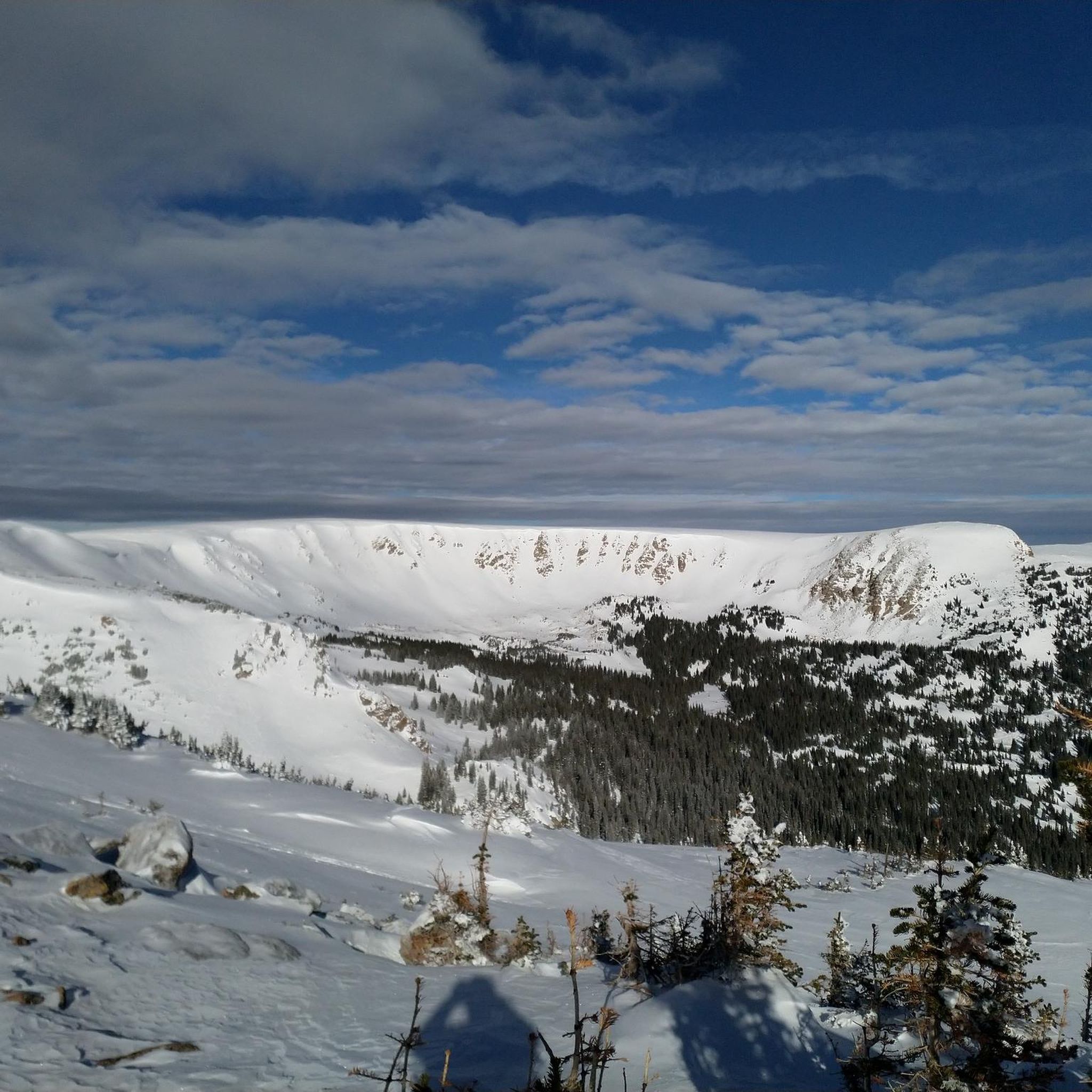
MTB Trails in Vasquez Peak Wilderness
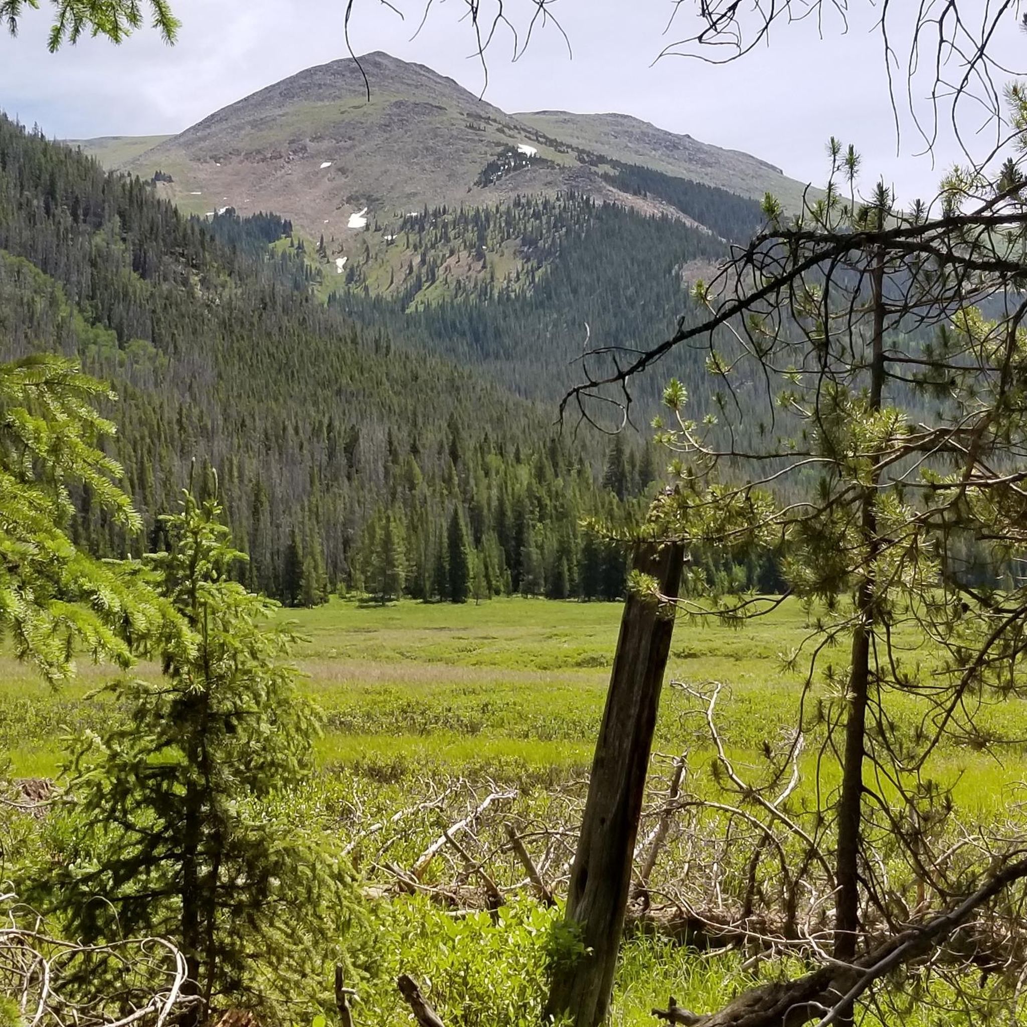
MTB Trails around Fraser
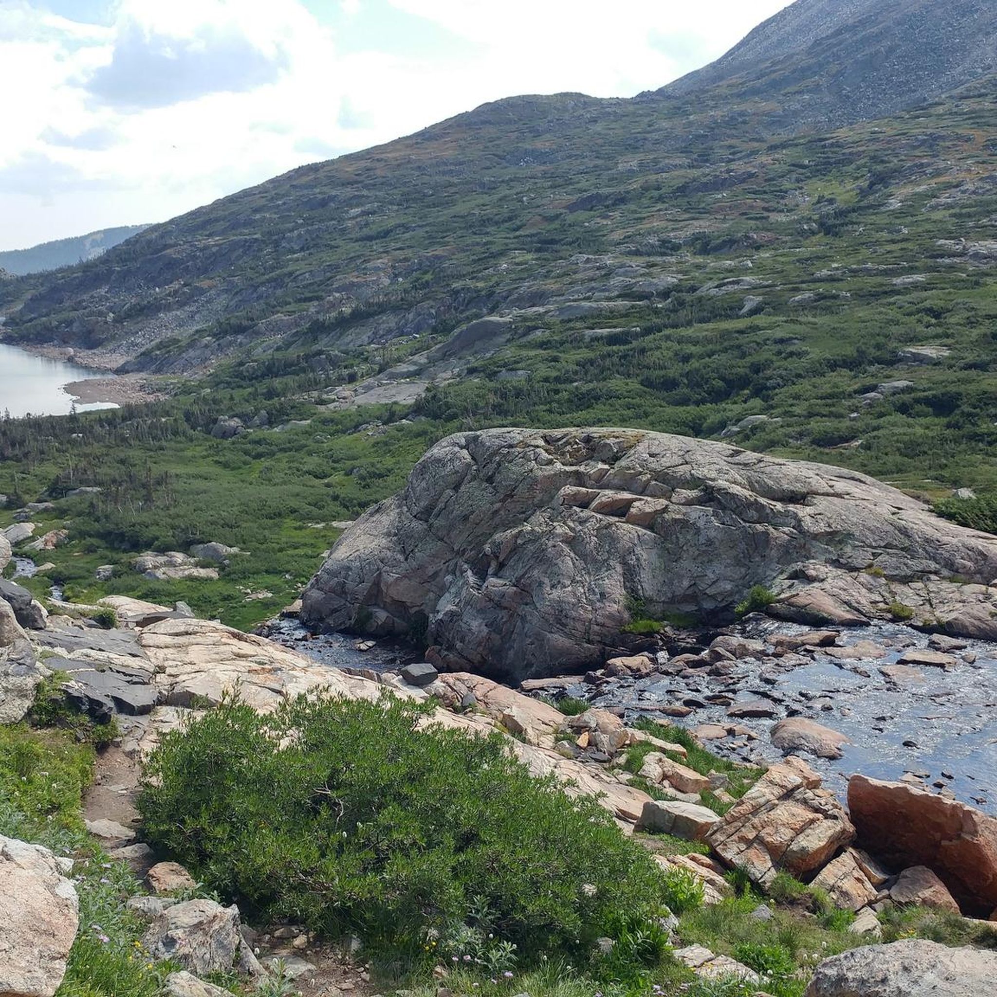
MTB Trails in Indian Peaks Wilderness
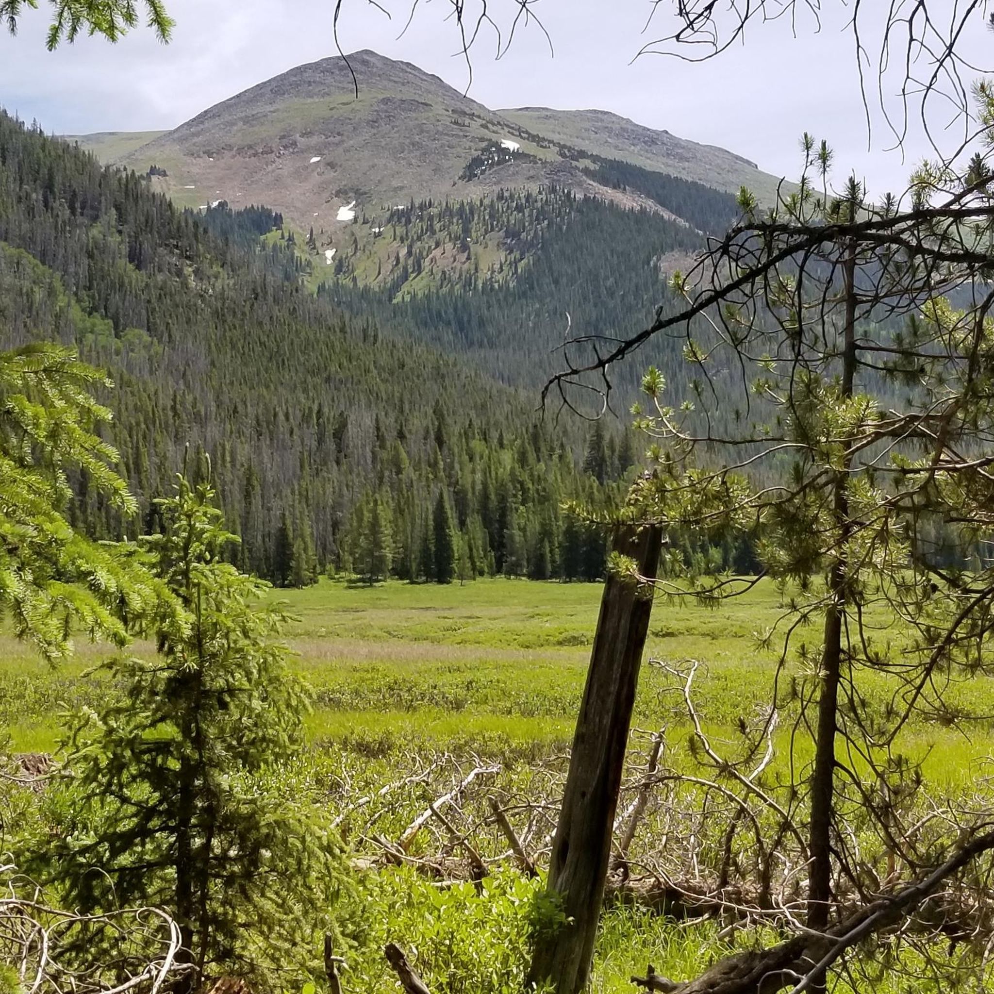
MTB Trails around Tabernash
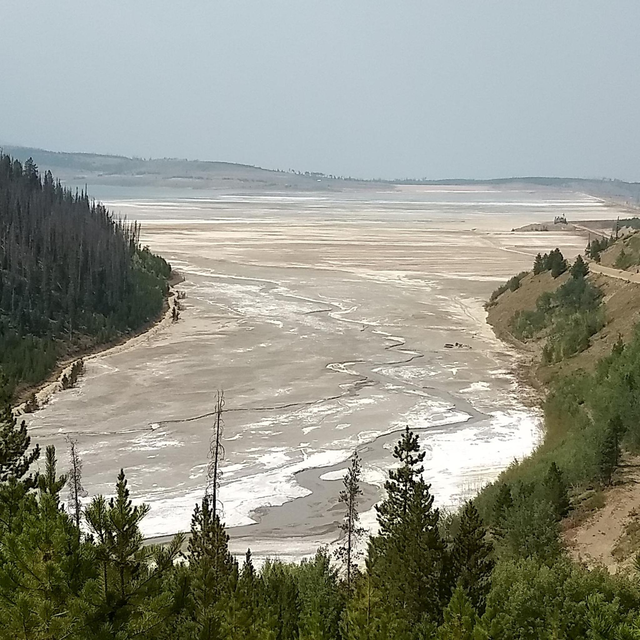
MTB Trails in Byers Peak Wilderness
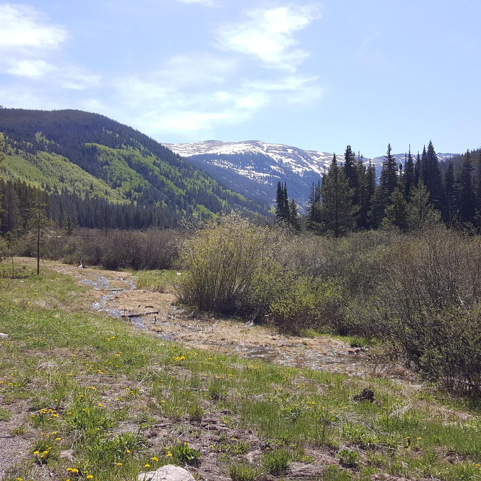
MTB Trails around Winter Park
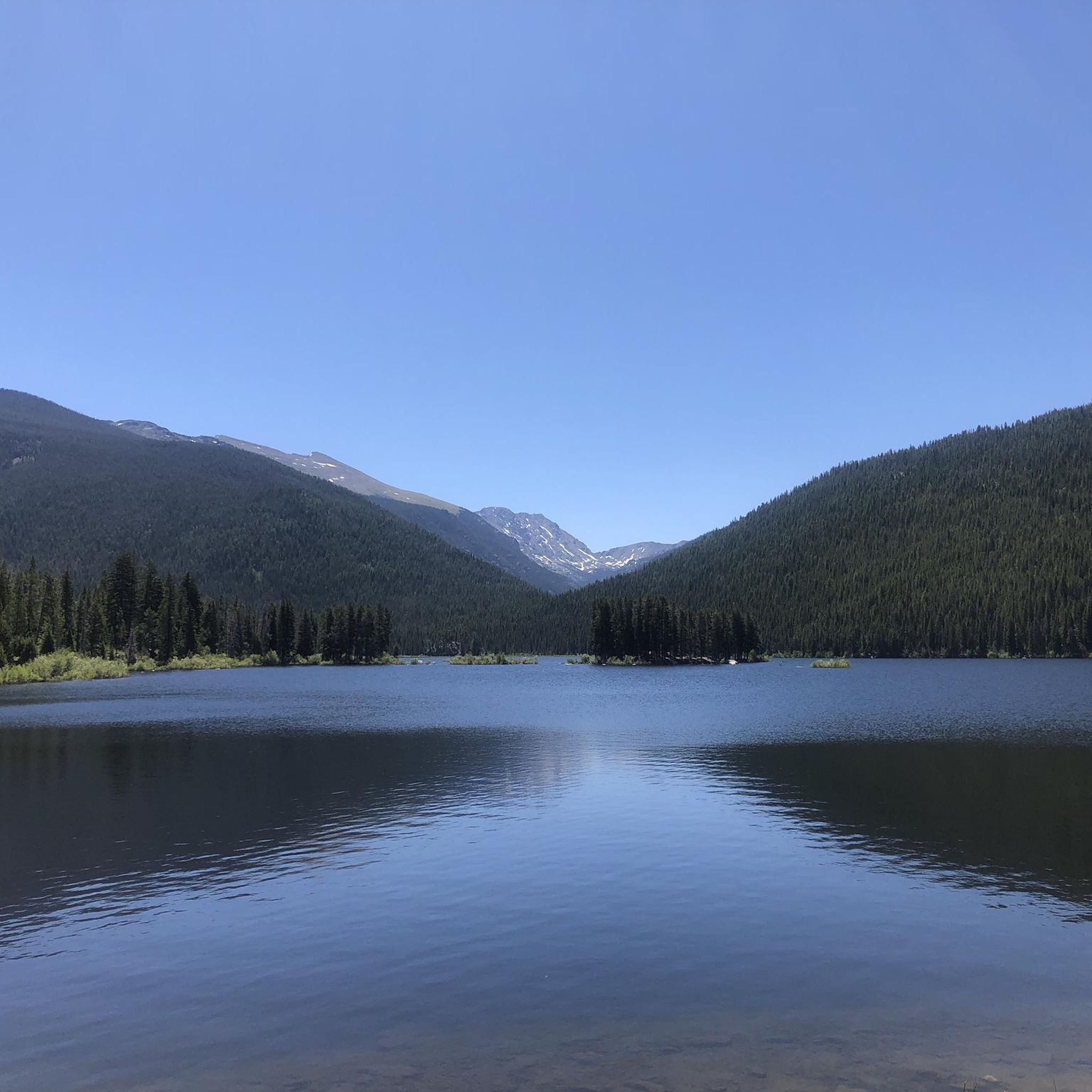
MTB Trails around Granby
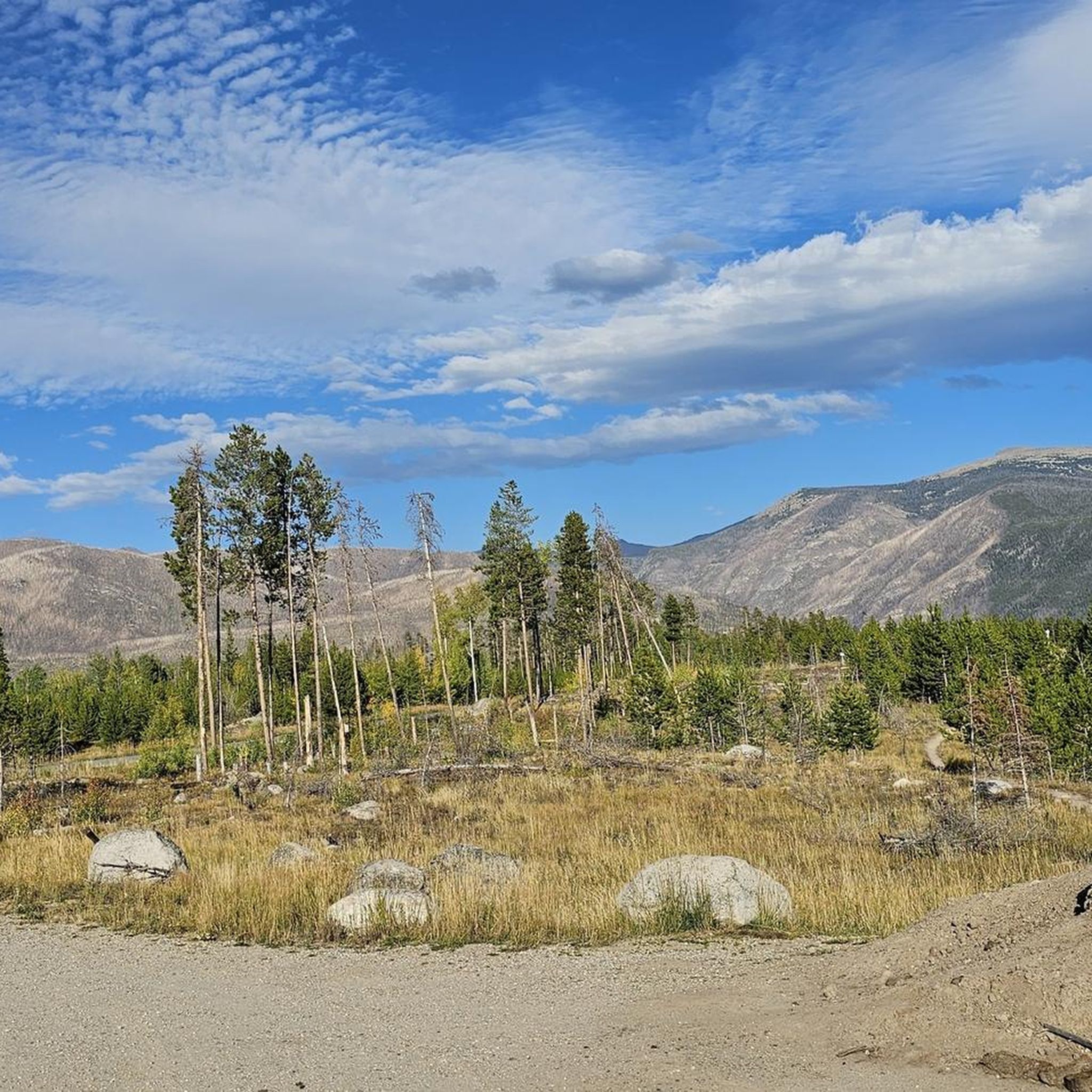
MTB Trails in Arapaho National Recreation Area
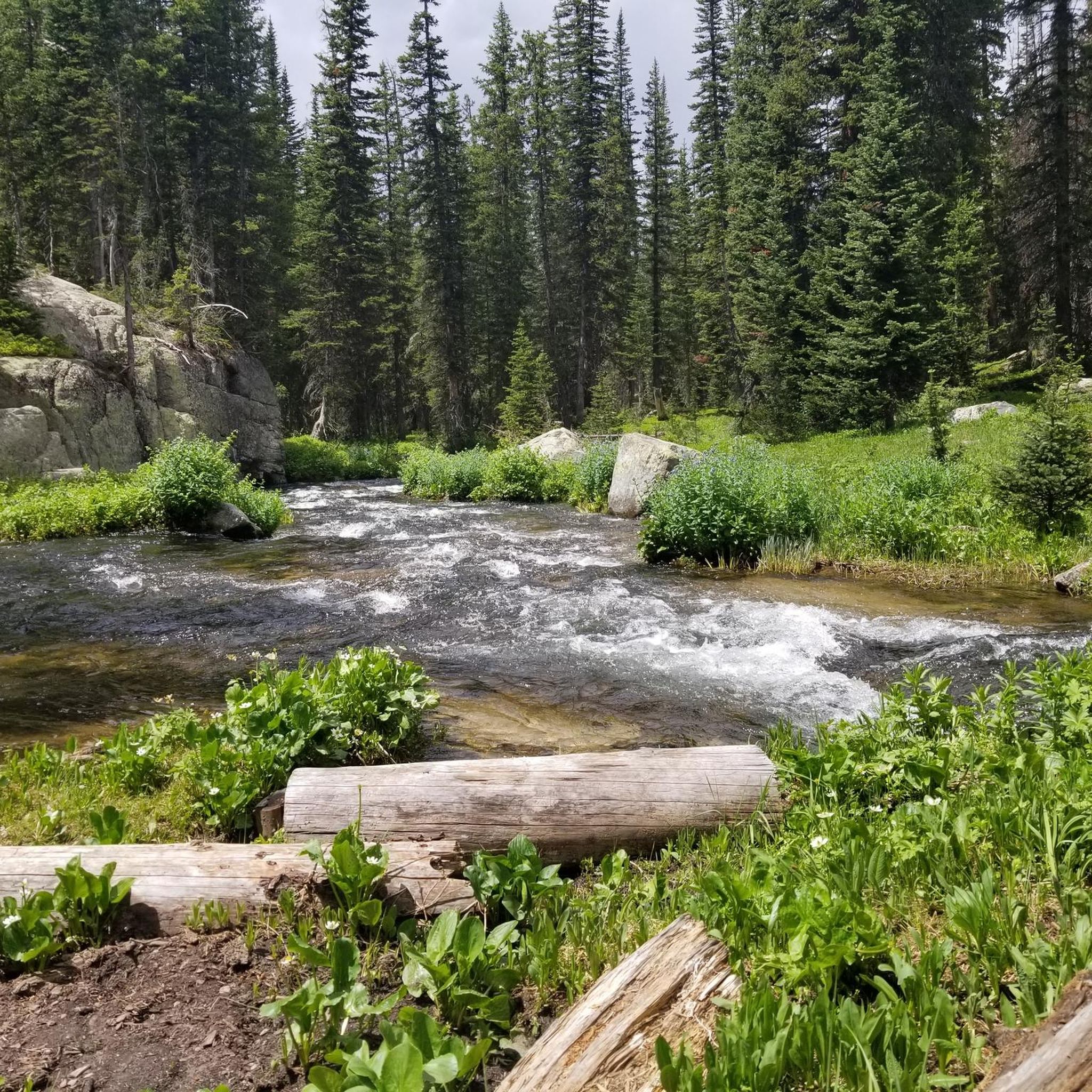
Hiking in Grand County
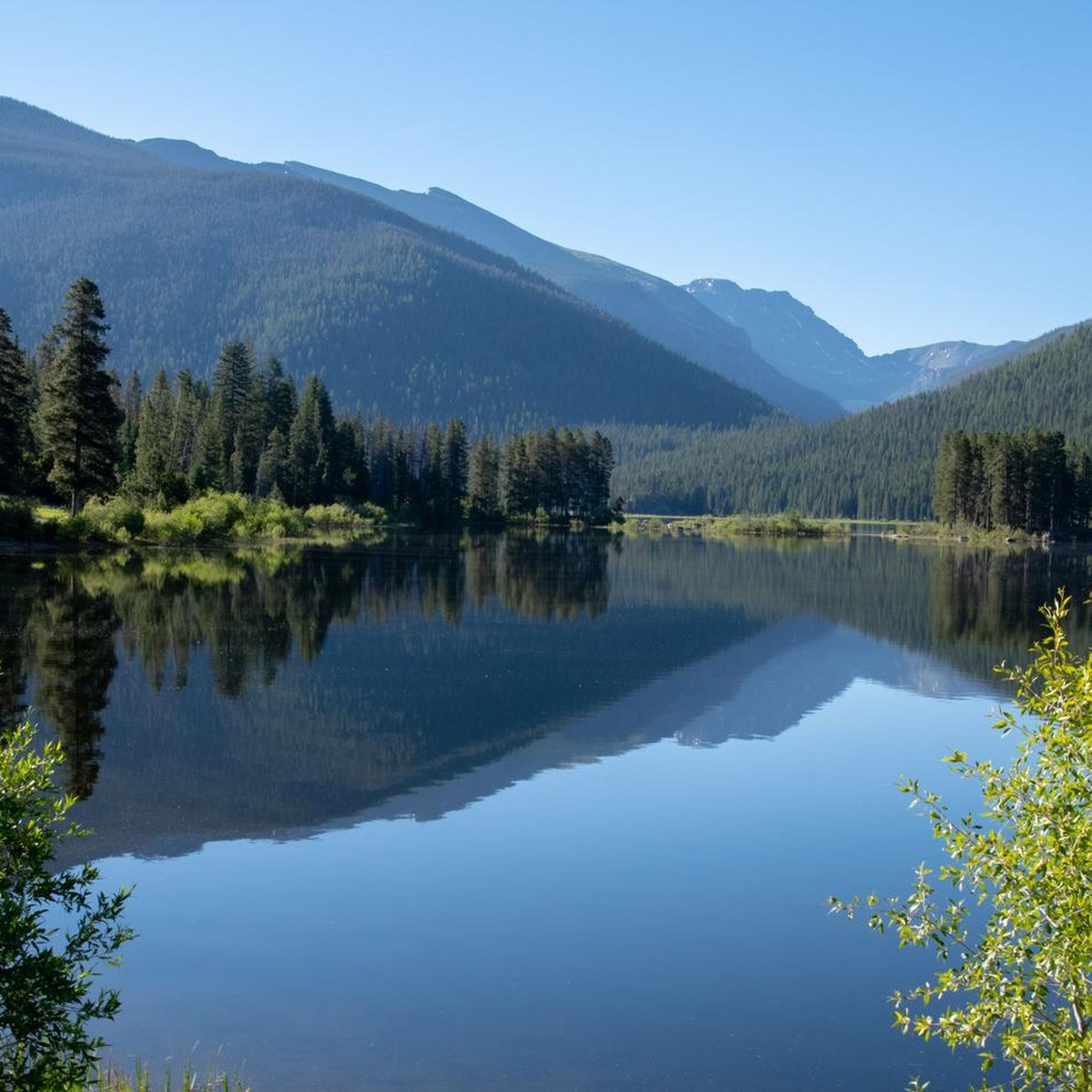
Running Trails in Grand County
Tips from the Community

Here, you can enjoy stunning views of Rabbit Ears. It's a great place to pause and take in the views before making your way back.
0
0
For mountain bikers, the Rabbit Ears Trail is a lung-scorching climb and a heart-pumping descent! This technically easy jeep road delivers postcard-worthy panoramas, but thin air and steep sections test your endurance.
0
0
Take in the scenic beauty of Big Rock Creek Road (FS 147) a peaceful forest road offering captivating views of the Medicine Bow-Routt National Forest. Remember, this route is part of a complete loop with FS 242 and 241.
0
0

Built in 1905 and at an elevation of 11,600 feet, this is the remnants of the old train trestle that connected Denver to Winter Park. The tracks were removed in 1938 and the bridge was used for automobile traffic until 1955. These days it can only be accessed by hiking or biking.
0
0

This park near the Fraser River has a small fishing pond, picnic areas and some short connected trails. It is an entrance point to Granby from the south, and ends the Fraser to Granby Trail.
0
0

Flume Trail is a 2-mile out-and-back trail between Fraser and Morse Mountain in Arapaho National Forest. The trail can be most easily reached via Chainsaw Trail beginning at the Lower Creekside parking area. If you're looking for a beautiful and short nature escape close to town, this is one to try out!
0
0
Tipperary Creek Trail runs parallel to Tipperary Creek, and then continues on past Spruce Creek as Spruce Creek Trail. It is a fun ride downhill, but can be a bit of a climb if you ride it as an out and back trail.
0
0
Frequently Asked Questions
How many mountain bike trails are there in Grand County?
Grand County offers an extensive network of mountain bike trails, with over 45 routes available on komoot. The region is known as 'Mountain Bike Capital, USA,' boasting over 600 miles of trails in total, catering to all skill levels from beginner-friendly paths to expert-level downhill runs.
What is the best time of year for mountain biking in Grand County?
The prime season for mountain biking in Grand County typically runs from late spring through early fall, generally May to October. During these months, trails are usually clear of snow, and the weather is favorable for riding. Always check local trail conditions before heading out, especially in shoulder seasons.
What kind of terrain can I expect on mountain bike trails in Grand County?
You can expect a diverse range of terrain, from mellow, meandering paths to demanding singletrack with steep climbs, technical descents, and rocky sections. Trails often traverse quiet forests, flowy hills, and alpine meadows, offering varied experiences across high-mountain peaks and sweeping river valleys. The region includes significant portions of the Arapaho and Roosevelt National Forests.
Are there mountain bike trails suitable for beginners in Grand County?
Yes, Grand County has trails suitable for beginners. Out of the routes listed on komoot, 4 are rated as easy. The region offers options for all ability levels, including beginner-friendly paths. The Fraser River Trail, for example, is known for its family-friendly aspects and mellow sections.
Where can I find challenging mountain bike trails in Grand County?
For challenging rides, Grand County offers 22 difficult routes on komoot. Trails like the Shy Ann, Rainmaker, and Green World Loop provide varied terrain and significant elevation gain. The region also features renowned bike parks like Trestle Bike Park at Winter Park Resort and Bike Granby Ranch, which offer highly technical pro-lines and expert-level gravity-fed options.
What natural features or landmarks can I see while mountain biking in Grand County?
Grand County is rich in natural beauty. You can encounter stunning vistas of the Never Summer Mountains, parts of Rocky Mountain National Park, and the Continental Divide. Many trails wind through forests and alpine environments. Notable natural attractions include Grand Lake, Colorado's largest natural lake, and Monarch Lake. You might also spot peaks like James Peak or Ptarmigan Peak.
Are there many circular mountain bike routes in Grand County?
Yes, many mountain bike routes in Grand County are designed as loops, offering a complete riding experience without retracing your steps. Examples include the Zoom, Chainsaw, Flume Trails Loop and the Tipperary Creek Loop, which lead through alpine meadows and forests.
What do other mountain bikers enjoy most about mountain biking in Grand County?
The mountain biking experience in Grand County is highly rated by the komoot community, with an average score of 4.7 stars. Riders often praise the diverse terrain, from flowy sections to technical challenges, and the breathtaking natural scenery, including views of high-mountain peaks and river valleys. Over 700 mountain bikers have used komoot to explore the area's varied trails.
Are there family-friendly mountain bike trails in Grand County?
Absolutely. Grand County offers several family-friendly mountain bike trails. The Fraser River Trail is a great example, known for its mellow and meandering sections that are suitable for riders of varying ages and skill levels. Many of the easier routes on komoot are also excellent choices for families.
Can I bring my dog on the mountain bike trails in Grand County?
Many trails in Grand County are dog-friendly, but leash laws and specific regulations can vary depending on the land management agency (e.g., National Forest, State Park, or private land). It's always best to check the specific trail rules before you go. Generally, dogs should be kept on a leash to protect wildlife and ensure a pleasant experience for all trail users.
Do I need a permit to mountain bike in Grand County?
For most general mountain biking trails in Grand County, a specific permit is not required. However, if you plan to ride within Rocky Mountain National Park, different rules and fees apply, and mountain biking is generally restricted to paved roads. For bike parks like Trestle Bike Park or Bike Granby Ranch, lift tickets or passes are required. Always check with the local land management office or bike park for the most current information.
Are there mountain bike trails near lakes or rivers in Grand County?
Yes, Grand County's trails often provide access to or views of its significant waterways. The Colorado River originates in Grand County, and you can find trails near Grand Lake and Lake Granby. The Strawberry West Trail to Strawberry Lake is an example of a route that leads to a beautiful lake.
What are some longer mountain bike routes in Grand County?
For longer rides, Grand County offers several extensive routes. The Fraser River Trail to The Trestle Bridge is a challenging 33.9-mile (54.6 km) route, while the Fraser to Granby Trail spans 34.9 miles (56.2 km), allowing riders to explore different towns and enjoy scenic views.
Most popular routes in Grand County
Most popular attractions in Grand County

Get inspired with the komoot mobile app


Didn’t find what you were looking for?
Check out more MTB trails throughout Grand County below and find the perfect route in your destination.
Explore more
Browse the best MTB trails in other regions.
