The best walks and hikes around Holsavatnet
4.0
(17)
143
hikers
4
hikes
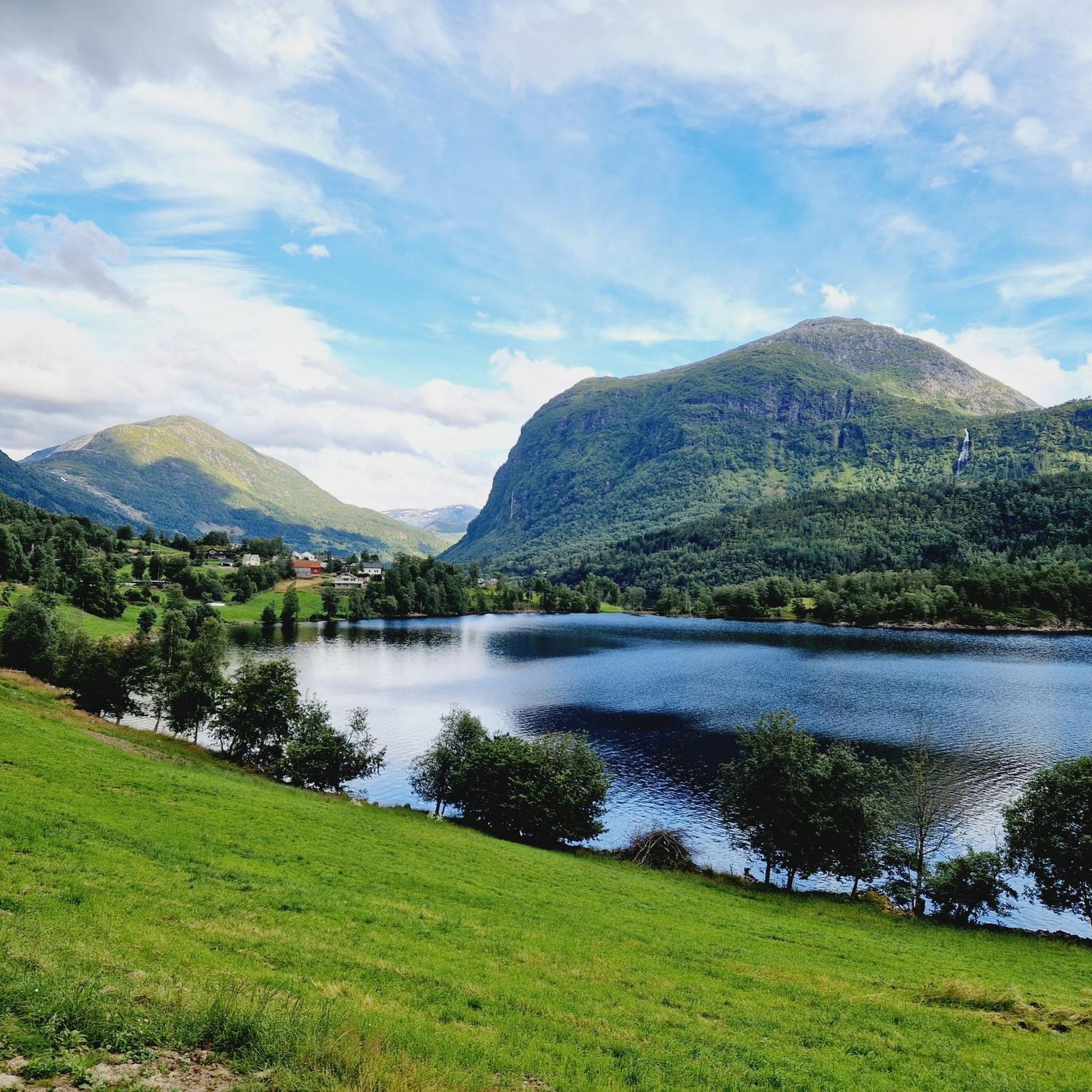
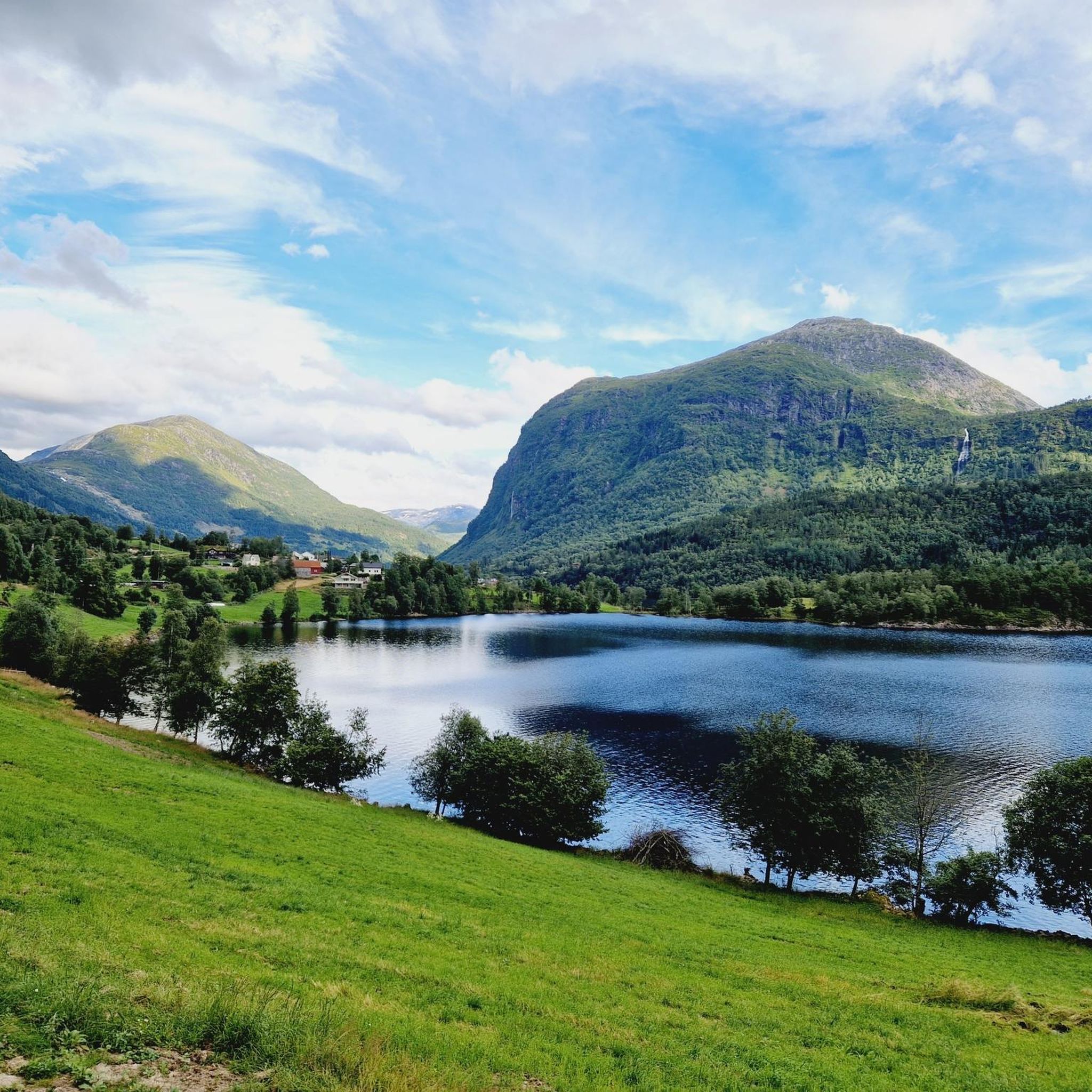
Hiking around Holsavatnet offers routes in Sunnfjord Municipality, Vestland county, Norway, characterized by a tranquil natural setting around the lake. The region's landscape typically includes fjords, mountains, and waterfalls, providing a picturesque backdrop for outdoor activities. Holsavatnet itself is a lake with a surface area of 3.33 square kilometers, fed by the Skorpaelva and Nyddalselva rivers. European route E39 passes west of the lake, making it accessible for exploration.
Best hiking trails around Holsavatnet
- The most popular hiking route is…
Last updated: August 23, 2026
4.7
(9)
37
hikers
1.13km
00:18
10m
10m
Easy hike. Great for any fitness level. Easily-accessible paths. Suitable for all skill levels.
4.0
(1)
12
hikers
11.0km
03:33
460m
460m
Moderate hike. Good fitness required. Easily-accessible paths. Suitable for all skill levels.

Sign up for free
5
hikers
4.51km
01:15
80m
80m
Easy hike. Great for any fitness level. Easily-accessible paths. Suitable for all skill levels.
4.8
(4)
27
hikers
9.76km
03:35
620m
620m
Moderate hike. Good fitness required. Easily-accessible paths. Suitable for all skill levels.
6
hikers
2.26km
00:52
160m
160m
Easy hike. Great for any fitness level. Easily-accessible paths. Suitable for all skill levels.
Our route recommendations are based on thousands of hikes, rides, and runs completed by other people on komoot.
Start today with a free account
Your next adventure awaits.
Login or Signup
Popular around Holsavatnet
Tips from the Community

Through this bridge you can cross Jølstra and observe the nature around.
0
0
The 22-kilometre Jølstra winds from Jølstravatnet at 207 meters down to Førdefjorden, a fast-flowing river where white water meets salmon-rich pools and the town of Førde turns its houses to watch it pass.
0
0

The short walk to the water fountain is worth it
0
0

Memorial stone for the agricultural scientist Martin Luther Storm, who died in 1916.
3
0

Great refuge with everything you need for a nice break.
2
0
There is a great all-round view from the summit. A gravel road leads up from the east side. But the climb over the path from the west is more exciting. A thick rope helps with climbing on a steep section over rock.
3
0
Easy to reach waterfall with enormous water masses. Here the Hulda pushes its way through a narrow passage.
2
1
Frequently Asked Questions
What kind of terrain can I expect on hikes around Holsavatnet?
Hiking around Holsavatnet features a mix of lake shore paths, forested areas, and ascents to local hills. The region, part of Vestland county, is known for its diverse Norwegian landscapes, including fjords, mountains, and waterfalls, providing a picturesque backdrop for your walks.
Are there any easy hiking trails suitable for beginners or families?
Yes, there are easy options available. For instance, the Gytta Day Trip Cabin – Litlefjellet loop from Førde sentralsjukehus is an easy 1.4-mile trail that takes about 52 minutes to complete, leading through local hills. Another easy option is the Turn to Huldevossen route, which is just over 1 km long.
What are the most popular hiking routes in the Holsavatnet area?
Among the local favorites, the Sjetdikshammaren – Bjørnhammaren loop from Gjesdal kraftverk is a popular moderate route, covering 6.8 miles. Another highly regarded trail is the Bruland to Hafstadfjellet summit out-and-back, a moderate 6.1-mile path offering views towards Hafstadfjellet summit.
Are there any circular hiking routes around Holsavatnet?
Yes, several circular routes are available. The Sjetdikshammaren – Bjørnhammaren loop from Gjesdal kraftverk is a moderate 6.8-mile loop. For a shorter option, consider the Gytta Day Trip Cabin – Litlefjellet loop from Førde sentralsjukehus, which is an easy 1.4-mile circuit.
What do other hikers say about the trails in Holsavatnet?
The trails around Holsavatnet are highly rated by the komoot community, with an average score of 4.2 stars from over 19 reviews. Hikers often praise the tranquil natural setting and the variety of terrain available for different skill levels.
Are there any specific viewpoints or natural attractions along the trails?
While specific named landmarks immediately adjacent to Holsavatnet are not prominently detailed, the Bruland to Hafstadfjellet summit out-and-back route is known for providing views of the surrounding area from Hafstadfjellet. The general Vestland county landscape offers dramatic scenery, including fjords and mountains.
How accessible is Holsavatnet by public transport?
Holsavatnet is situated in Sunnfjord Municipality, with European route E39 passing a few kilometers west of the lake, making it relatively accessible by car. While specific public transport routes directly to trailheads are not detailed, the village of Holsen is at the eastern end of the lake, and Førde is a nearby town, which may offer connections.
Is there parking available for hikers at Holsavatnet?
Many hiking routes in the region, including those around Holsavatnet, typically have designated parking areas near their starting points. For example, the Sjetdikshammaren – Bjørnhammaren loop starts from Gjesdal kraftverk, and the Gytta Day Trip Cabin – Litlefjellet loop begins from Førde sentralsjukehus, suggesting parking facilities at these locations.
What is the best time of year to go hiking around Holsavatnet?
The best time for hiking in Vestland county, including Holsavatnet, is generally during the warmer months from late spring to early autumn (May to September). During this period, the weather is milder, and trails are typically free of snow, offering optimal conditions to enjoy the natural environment.
Are there any dog-friendly trails in the Holsavatnet area?
Most natural trails in Norway are dog-friendly, provided dogs are kept on a leash, especially during lambing season (April-June) and to protect wildlife. It's always recommended to check local regulations for specific trails, but generally, the tranquil paths around Holsavatnet are suitable for walks with your dog.
Are there any cafes or restaurants near the hiking trails?
Holsavatnet is located in a tranquil natural setting. While specific cafes or restaurants directly adjacent to the trailheads are not highlighted, the nearby town of Førde and the village of Holsen may offer amenities and dining options for hikers before or after their adventures.
How many hiking trails are available around Holsavatnet?
There are several hiking trails available around Holsavatnet, offering options for various skill levels. Komoot lists a total of 4 routes in this guide, ranging from easy strolls to more moderate ascents.
Most popular routes around Holsavatnet

Get inspired with the komoot mobile app


Explore more
Browse the best Hikes in other regions.
