The best road cycling routes in Norfolk County
4.6
(137)
3,836
riders
422
rides
Road cycling routes in Norfolk County, Massachusetts, traverse a diverse landscape featuring suburban areas, state parks, and natural reservations. The region offers a mix of paved roads, connecting urban centers with quieter, forested sections and water bodies. Cyclists can expect varied terrain, including gentle inclines and some more challenging hills, with routes often passing by lakes, rivers, and historical landmarks.
Best road cycling routes in Norfolk County
- The most popular road cycling route is Arnold Mills Reservoir from Franklin loop, an easy 25.5 miles (41.1 km) trail that takes 1 hour 53 minutes to complete. This route offers a scenic ride around the Arnold Mills Reservoir.
- Another top favourite among local road cyclists is South Weymouth to Atlantic Avenue loop via Wompatuck State Park, a moderate 40.7 miles (65.5 km) path. This route features sections through Wompatuck State Park and along the Atlantic Avenue coastline.
- Local road cyclists also love the Walden Pond Lake from Coolidge Corner via Coburn Meadow, a 32.6 miles (52.5 km) trail leading through varied landscapes including Walden Pond, often completed in about 2 hours 8 minutes.
- Road cycling in Norfolk County is defined by its mix of urban and natural settings, including state parks, reservoirs, and river paths. The network offers options for different ability levels, from easy loops to moderate challenges.
- The routes in Norfolk County are highly rated by the komoot community with an average score of 4.5 stars from over 160 reviews. More than 3,400 road cyclists have used komoot to explore Norfolk County's varied terrain.
Last updated: October 10, 2026
5.0
(1)
28
riders
77.2km
03:12
440m
440m
The Valley Road to Atlantic Avenue via Bare Cove Park loop offers a delightful road cycling experience, blending the serene, paved paths of Bare Cove Park with the scenic coastal roads of Atlantic Avenue. This moderate 48.0 miles (77.2 km) route, featuring 1458 feet (444 metres) of elevation gain, takes about 3 hours and 12 minutes to complete, making it an ideal half-day adventure for cyclists who enjoy diverse landscapes.
For planning your ride, note that the Bare Cove Park sections are generally low-traffic and family-friendly, though some paved areas can be uneven, so suitable tires are recommended. While specific parking for the full loop isn't detailed, the park itself provides a safe, car-free environment for a significant portion of the ride. An early morning start is often best to enjoy the coastal views along Atlantic Avenue without too much traffic.
What makes this cycling route stand out is its unique blend of natural beauty and historical significance. Within Bare Cove Park, you'll traverse a 484-acre wildlife sanctuary, offering glimpses of the Weymouth Back River, salt marshes, and various animals. The park's past as a Naval Ammunition Depot also adds a fascinating historical layer to your journey, providing a rich backdrop to your ride.
5.0
(1)
36
riders
41.1km
01:53
270m
270m
Embark on an easy road cycling journey around the Arnold Mills Reservoir from Franklin loop, a route designed for a smooth experience. This 25.5 miles (41.1 km) loop offers a gentle ride, gaining 897 feet (273 metres) in elevation over an estimated 1 hours and 53 minutes. You will cycle past the picturesque Arnold Mills Reservoir, a freshwater body providing serene views, and enjoy mostly well-paved surfaces throughout the ride.
This route is considered easy, making it accessible for racebike cyclists of all fitness levels. The well-maintained surfaces ensure a pleasant journey, allowing you to focus on the scenery. While no specific warnings are noted for this trail, it is always a good practice to check local conditions before you head out, especially concerning weather or any unexpected road closures.
As you cycle, you will pass through areas rich in local history, including the Arnold Mills Historic District. Keep an eye out for old stone walls, second-growth woods, and fields that reflect the region's rural past, offering a glimpse into its heritage. The combination of natural beauty and historical elements makes this loop a notable option for a relaxed outing in the area.

5.0
(2)
35
riders
65.5km
02:36
320m
320m
Embark on a moderate 40.7-mile (65.5 km) racebike loop that takes you from the dense forests of Wompatuck State Park to the scenic Atlantic coast. You will gain 1040 feet (317 metres) of elevation over approximately 2 hours and 36 minutes, experiencing a dramatic shift in scenery. Pedal past the tranquil 136-acre Aaron River Reservoir before reaching picturesque ocean views and charming seaside towns. Keep an eye out for the historic Old Scituate Lighthouse as you ride along Atlantic Avenue, enjoying the fresh sea air and impressive coastal homes.
This route stitches together existing cycling-friendly paths and roads, offering varied terrain for your racebike. Many of the paved roads within Wompatuck State Park are automobile-free, providing a pleasant and safe cycling environment. While the route is generally flat, be aware that one entrance to the park on Leavitt Street in Hingham does feature a medium-sized hill. Plan your ride to enjoy both the shaded parkland and the open coastal stretches.
Wompatuck State Park, a key feature of this loop, holds unique historical significance as a former naval ammunition depot. As you cycle through the park, you will pass by old ammunition bunkers, offering a glimpse into its past. The journey then transitions to the coast, where you can appreciate the natural beauty of the ocean views and the distinct character of the seaside communities. This combination of history and natural beauty makes the South Weymouth to Atlantic Avenue loop a notable ride in the region.
26
riders
36.8km
01:34
290m
290m
The Beaconsfield to Coburn Meadow loop offers a delightful road cycling experience, blending suburban charm with natural vistas. You'll pedal past the expansive Chestnut Hill Reservoir, enjoying its calm waters, before heading towards the conservation lands around Coburn Meadow in Weston. This easy 22.9-mile (36.8 km) route, with a modest 943 feet (287 metres) of elevation gain, is designed for a relaxed pace, taking about 1 hour and 33 minutes to complete.
Planning your ride is straightforward; this route is accessible for most of the year, though checking local road conditions is always a good idea. While specific parking for the entire loop isn't widely detailed, starting points near Beaconsfield or Chestnut Hill Reservoir offer convenient access. This loop is ideal for those seeking a pleasant, low-stress ride rather than a strenuous workout.
This route provides a unique way to explore the transition from urban edges to more natural conservation areas in the region. The proximity to Coburn Meadow, historically a wet meadow, hints at the ecological efforts in the area, offering a glimpse into local conservation. It's a great option for popular cycling trails in the Beaconsfield area if you're looking for a gentle, scenic outing.
4.0
(1)
20
riders
52.5km
02:08
300m
300m
Embark on a moderate 32.6-mile (52.5 km) racebike journey from Coolidge Corner to the tranquil shores of Walden Pond. This route, which takes approximately 2 hours and 8 minutes to complete, guides you through a diverse landscape. You will experience a gradual change from suburban streets to picturesque natural settings, gaining about 994 feet (303 metres) in elevation. Along the way, expect to cycle through wooded areas, spot charming old farmhouses, and observe classic New England stacked stone walls. The serene Walden Pond Beach serves as a beautiful focal point for your ride.
This racebike route skillfully blends urban streets with dedicated cycling infrastructure, including sections of the popular Minuteman Bikeway. You will also navigate quieter suburban roads, offering a varied riding experience. Be aware that some parts, such as sections of the Battle Road gravel trail, may present rough surfaces that require extra caution, even on a road bike. For your safety, it is best to avoid the Concord Turnpike Cut-Off (Route 2A) due to its busy traffic and challenging steep climbs.
The destination, Walden Pond State Reservation, holds significant historical and literary importance as the site where Henry David Thoreau lived and wrote "Walden." This connection to a pivotal figure in American literature makes the pond more than just a scenic spot; it is a place of reflection and natural beauty. The route offers a unique opportunity to combine an invigorating racebike ride with a visit to a landmark that inspired a timeless work on simple living and nature.
3.5
(2)
33
riders
14.7km
00:37
110m
110m
Embark on an easy road cycling journey from Summit Avenue to Crystal Lake, covering 9.1 miles (14.7 km) with a gentle elevation gain of 363 feet (111 metres). This route, perfect for a 37-minute ride, offers a pleasant mix of urban and natural landscapes. You'll pedal through residential streets, catching glimpses of the city from higher vantage points. As you reach Chestnut Hill Reservation, enjoy the tranquil views across the reservoir, a refreshing contrast to the urban start. The ride culminates with the serene waters of Crystal Lake, providing a peaceful finish.
Planning your ride is straightforward, as the City of Newton encourages cycling with numerous bike lanes. While specific parking details for this exact route are not provided, you can generally find public parking options available near both Crystal Lake and Summit Avenue. If you prefer not to drive, public transport offers a convenient way to reach the starting point of your ride on Summit Avenue in Brookline. Consider starting your ride in the morning or late afternoon to enjoy cooler temperatures and potentially less traffic.
This route stands out for its dynamic blend of urban and natural scenery, offering a unique perspective on the area. It showcases the commitment of the City of Newton to cycling, integrating well-maintained paths and lanes into the urban fabric. The journey provides a refreshing escape, transitioning from bustling city views to the calm, reflective waters of the reservoir and Crystal Lake. It's an excellent option if you're looking for an accessible and varied ride within the greater Boston area.
4.0
(1)
19
riders
35.7km
01:59
390m
390m
Embark on the Coolidge Corner to Great Blue Hill via Stony Brook Reservation loop, a moderate racebike route that offers a substantial ride through varied scenery. This 22.2-mile (35.7 km) journey takes you from urban settings into the natural beauty of the Blue Hills Reservation, where you will gain 1265 feet (385 metres) in elevation. The highlight is reaching the Great Blue Hill Summit, providing expansive views of the Boston metropolitan area. You can expect to complete this challenging ride in approximately 1 hour and 58 minutes, cycling through woodlands, marshes, and rocky hills.
When planning your ride, be aware that while the route is primarily on well-paved surfaces, some sections within Stony Brook Reservation require caution. For instance, the Gavin Path may have overgrown areas and missing chunks of pavement, and the Overbrook Path features eroded pavement and water diverters that act as speed bumps. Given the hilly nature of both Stony Brook Reservation and the Blue Hills, you should be reasonably fit for this ride. Always check local conditions before you head out.
This route stands out for its unique blend of urban and natural environments, offering a green oasis close to the city. You will cycle through the 7,000-acre Blue Hills Reservation, a significant natural landmark in the region, and also experience the urban forest feel of Stony Brook Reservation. The diverse landscapes and the rewarding views from Great Blue Hill Summit make this loop a notable option for racebike enthusiasts looking for a challenging yet scenic outing in the Greater Boston Area.
22
riders
42.6km
01:47
280m
280m
Cycle the Boston Marathon and Charles River Loop for an easy road cycling experience that combines urban views with riverside tranquility. This 26.5-mile (42.6 km) route offers continuous vistas of the Charles River, passing landmarks like the Boston University Bridge. You will gain 920 feet (280 metres) in elevation, making it a gentle ride suitable for most cyclists. Expect to complete the loop in about 1 hour and 46 minutes, enjoying paved paths and green spaces throughout. The atmosphere is a pleasant mix of city energy and natural calm.
Planning your ride on the Boston Marathon and Charles River Loop is straightforward. You can find parking conveniently near various access points along the Charles River. Public transport options also provide easy access to the starting areas. Be aware that some sections of the Charles River path are mixed-use, so you will share the way with walkers and runners. It is always a good idea to check local conditions, especially during peak times, as the route can become quite busy.
This route uniquely blends the scenic beauty of the Charles River with a subtle nod to the famous Boston Marathon course. While the name evokes the marathon, this specific loop is designed for an enjoyable ride rather than the marathon's challenging climbs. You will see urban skylines, green spaces, and glimpses of historic universities as you pedal. It is a great way to experience Boston's iconic landscape from your bike.

5.0
(4)
9
riders
49.1km
02:19
460m
460m
Moderate road ride. Good fitness required. Mostly well-paved surfaces and easy to ride.
16
riders
84.7km
03:31
600m
600m
This moderate road cycling route from Wellesley Hills offers a substantial ride, covering 52.6 miles (84.7 km) with 1968 feet (600 metres) of elevation gain. You will experience a scenic transition from leafy suburban streets to more rural Massachusetts landscapes, passing through wooded sections and open fields. Keep an eye out for Willett Pond, a notable highlight that provides a picturesque break from your ride, all completed in about 3 hours and 31 minutes.
When planning your visit, be aware that while the route is mostly well-paved, some segments may be unpaved and challenging for a racebike. It is important to note that most trails inside Borderland State Park itself are unpaved and not suitable for typical road bikes, so you will stick to the perimeter roads. Parking is generally available in Wellesley Hills, but always check local regulations before you go to ensure a smooth start to your journey.
This route stands out for its varied scenery, taking you from residential areas into the quieter, expansive landscapes leading towards Borderland State Park. It provides a great opportunity to explore the changing environment of Massachusetts on two wheels. The journey offers a good workout and a chance to enjoy the outdoors, making it a popular choice for cyclists looking for a rewarding day trip.
Get access to more routes and recommendations from other explorers.
Already have an account?
Our route recommendations are based on thousands of hikes, rides, and runs completed by other people on komoot.
Start today with a free account
Your next adventure awaits.
Popular around Norfolk County
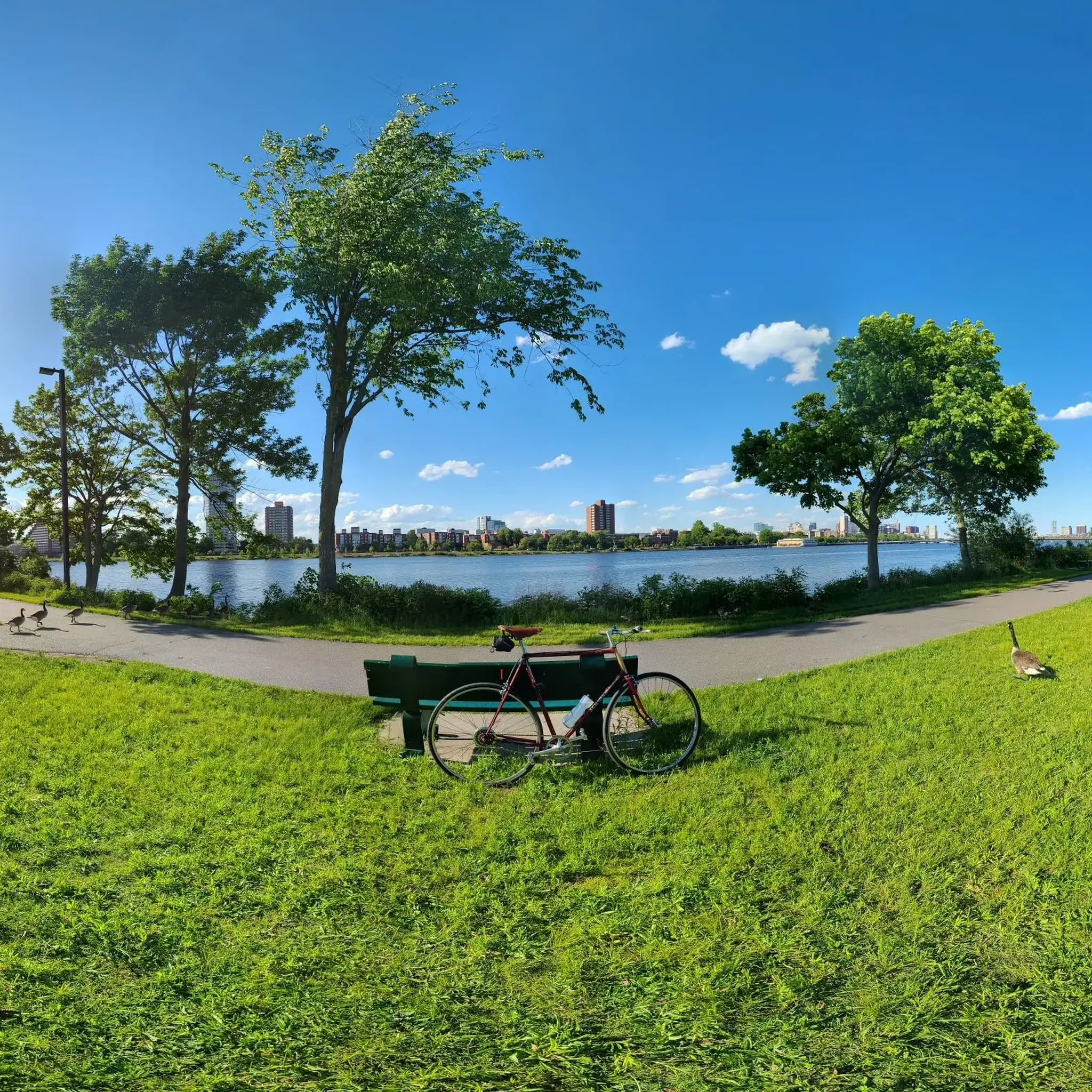
Road Cycling Routes around Brookline
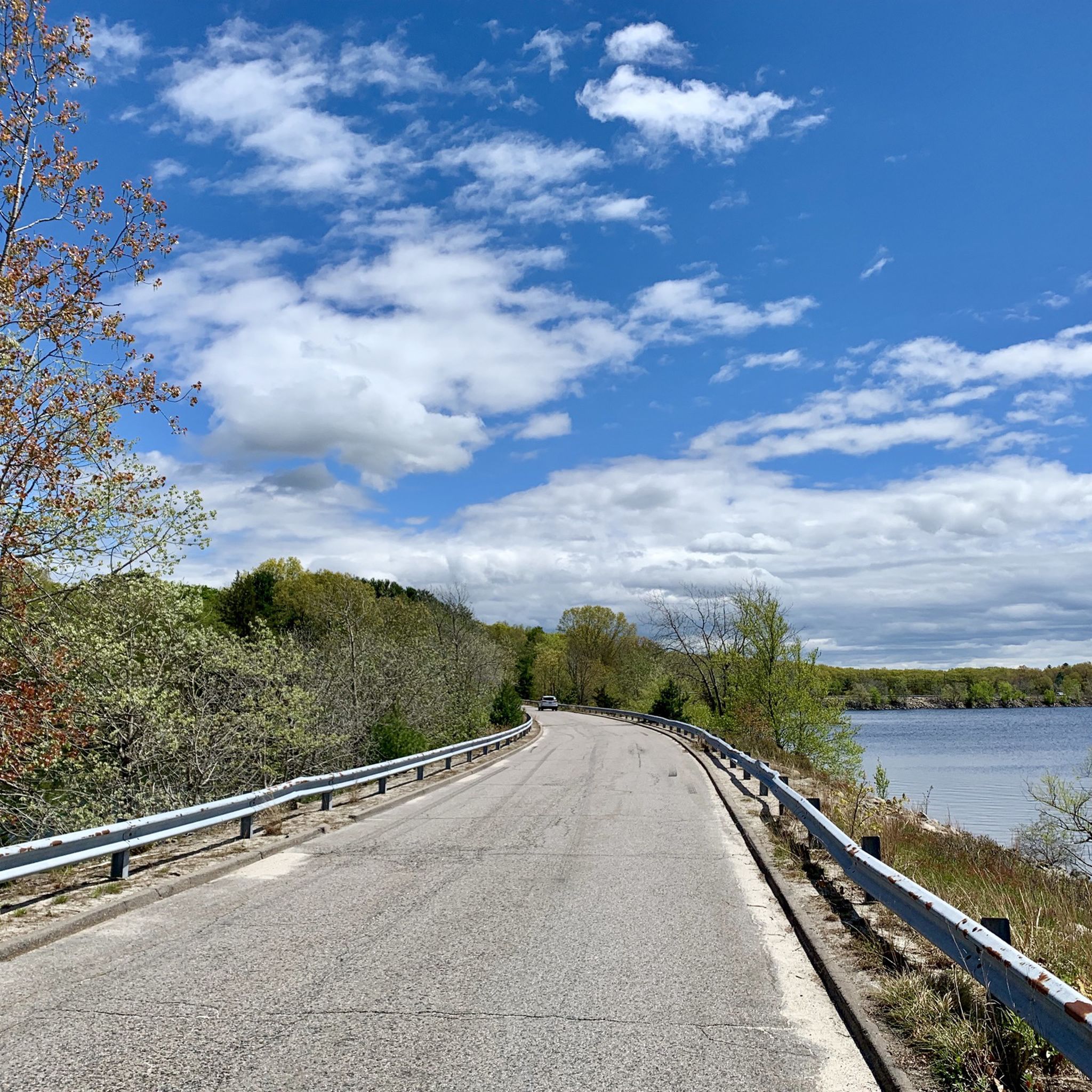
Road Cycling Routes around Quincy
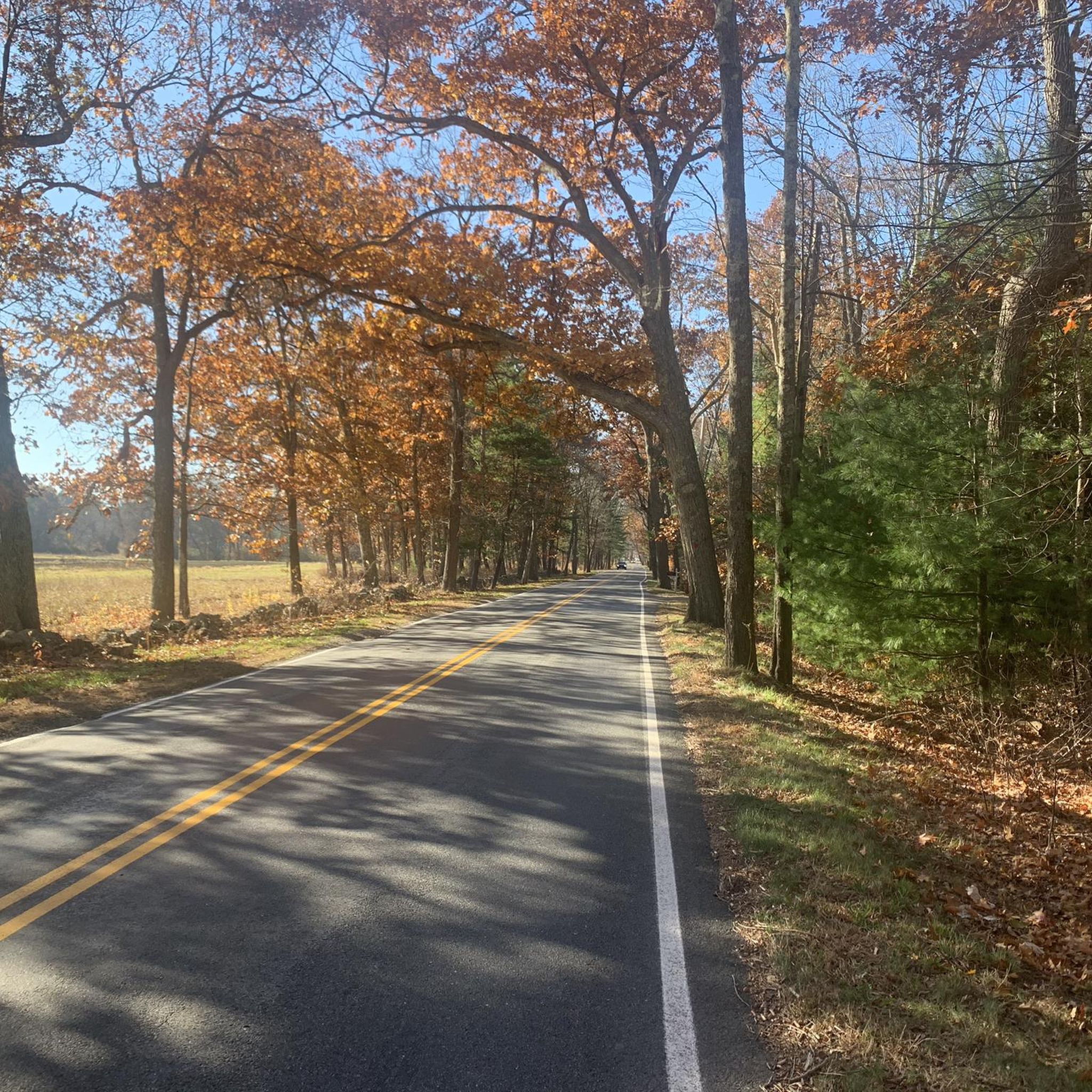
Road Cycling Routes around Wellesley
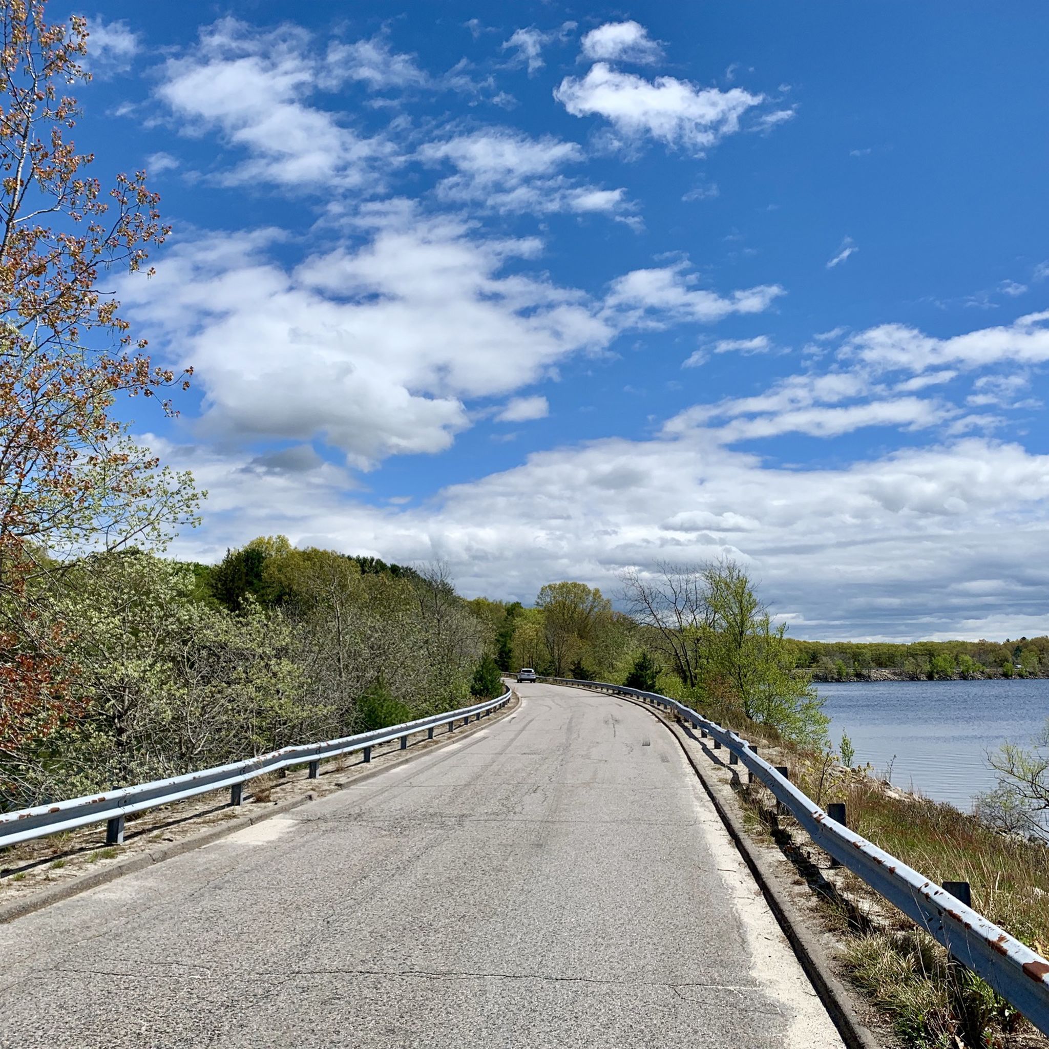
Road Cycling Routes around Milton
Road Cycling Routes around Dedham
Road Cycling Routes around Medfield
Road Cycling Routes around Needham
Road Cycling Routes around Millis-Clicquot
Road Cycling Routes around Randolph
Road Cycling Routes around Bellingham

Tips from the Community


Great for hiking, running, and mountain biking. A dirt road passes through the park to work into local road cycling journeys.
0
0

You can still see this reservoir's masterfully crafted waterworks, which date all the way back to the 1860s, and a couple of aqueducts as you zip past on the 1.5-mile paved loop that circles the water. This is also a nice spot for birding, and for swimming in the summer or ice skating in the winter.
0
0

Walden Pond in Concord, Massachusetts is a historic and natural landmark famously associated with author and philosopher Henry David Thoreau. In 1845, Thoreau lived in a small cabin by the pond for two years, inspiring his influential book Walden, which explores themes of simplicity, self-reliance, and harmony with nature. The pond, a glacial kettle-hole lake, is part of Walden Pond State Reservation, encompassing 335 acres of protected land. It features hiking trails, a beach area for swimming, fishing spots, and interpretive programs about Thoreau's life and work at the new visitors center. Visitors can also see a replica of Thoreau’s cabin and explore the environment he cherished.
1
0
It will take a long time to get the renaturation done. But it is also said that life always finds a way
0
0

Iron bridge with a beautiful view of the river and the city but above all with its own bike lanes!
3
0
Frequently Asked Questions
How many road cycling routes are available in Norfolk County, Massachusetts?
Norfolk County offers a wide selection of road cycling routes, with over 440 tours available on komoot. This includes a diverse range of options suitable for various skill levels.
What is the overall difficulty level of road cycling routes in Norfolk County?
The routes in Norfolk County cater to a broad spectrum of cyclists. You'll find approximately 180 easy routes, 250 moderate routes, and a smaller selection of 9 difficult routes, ensuring options for beginners and experienced riders alike.
What kind of terrain can I expect on road cycling routes in Norfolk County?
Road cycling routes in Norfolk County, Massachusetts, traverse a diverse landscape. You can expect a mix of paved roads connecting suburban areas with quieter, forested sections and water bodies. The terrain includes gentle inclines and some more challenging hills, often passing by lakes, rivers, and historical landmarks.
Are there any scenic circular road cycling routes in Norfolk County?
Yes, many routes in Norfolk County are designed as loops, offering scenic circular rides. For example, the Arnold Mills Reservoir from Franklin loop is an easy 25.5-mile route, while the South Weymouth to Atlantic Avenue loop via Wompatuck State Park offers a moderate 40.7-mile ride through varied landscapes.
What are some notable landmarks or natural features I might see along the routes?
Road cycling routes in Norfolk County often pass by significant natural features and landmarks. You might encounter areas like Saint Moritz Pond or Leverett Pond. For elevated views, routes can lead near Hancock Hill or Great Blue Hill Summit, offering scenic viewpoints.
Are there any routes that pass through state parks or natural reservations?
Absolutely. Several routes incorporate natural areas. The South Weymouth to Atlantic Avenue loop, for instance, features sections through Wompatuck State Park. Another option is the Coolidge Corner to Great Blue Hill via Stony Brook Reservation loop, which takes you through another beautiful reservation.
What do other road cyclists enjoy most about cycling in Norfolk County?
The road cycling experience in Norfolk County is highly rated by the komoot community, with an average score of 4.5 stars from over 160 reviews. Cyclists often praise the mix of urban and natural settings, including state parks, reservoirs, and river paths, as well as the variety of options for different ability levels.
Can I find routes that offer views of water bodies?
Yes, many routes in Norfolk County feature picturesque water views. For example, the Arnold Mills Reservoir from Franklin loop offers a scenic ride around the reservoir. You can also find routes that pass by the Charles River, such as the Boston Marathon and Charles River Loop.
Are there any routes suitable for a quick ride, under an hour?
While most routes are longer, you can find shorter segments or combine parts of routes for a quicker ride. The Summit Avenue to Crystal Lake via Chestnut Hill Reservation route is a shorter option, taking approximately 37 minutes to complete its 9.1 miles.
Which routes offer a good balance of distance and moderate challenge?
For a moderate challenge with a good distance, consider routes like the Walden Pond Lake from Coolidge Corner via Coburn Meadow. This 32.6-mile trail leads through varied landscapes and is typically completed in about 2 hours and 8 minutes.
Are there any routes that explore the coastal areas of Norfolk County?
Yes, you can find routes that take you towards the coast. The Valley Road to Atlantic Avenue via Bare Cove Park loop is a moderate 47.9-mile route that includes sections along Atlantic Avenue, offering coastal views.
What is a good route for exploring the Franklin area?
If you're starting from Franklin, the Arnold Mills Reservoir from Franklin loop is an excellent choice. It's an easy 25.5-mile route that provides a scenic ride around the reservoir, perfect for a relaxed outing.
Most popular routes in Norfolk County
Most popular attractions in Norfolk County

Get inspired with the komoot mobile app


Didn’t find what you were looking for?
Check out more Road cycling routes throughout Norfolk County below and find the perfect route in your destination.
Explore more
Browse the best Road cycling routes in other regions.
