The best walks and hikes around Finsevatnet
4.5
(97)
445
hikers
16
hikes
Hiking around Finsevatnet offers access to a high-alpine environment characterized by a glacial lake, rugged mountains, and the vast Hardangervidda plateau. The region features prominent natural landmarks such as the Hardangerjøkulen glacier and several accessible peaks. This landscape provides diverse terrain for hiking, ranging from lakeside paths to challenging mountain ascents.
Best hiking trails around Finsevatnet
- The most popular hiking route is Trail to Hardangerjøkulen Glacier from Finse, a 7.0 miles (11.2 km) trail that takes 4 hours 10 minutes to complete. This moderate path leads directly towards one of Norway's largest glaciers.
- Another top favourite among local hikers is Rallarvegen along the Bergen Railway from Finse to Hallingskeid, a difficult 13.3 miles (21.3 km) path. This historic construction road offers scenic views along the Bergen railway line.
- Local hikers also love the Loop hike to Store Finsenut (1559 m.), a 5.3 miles (8.5 km) trail leading through high-mountain terrain, often completed in about 2 hours 28 minutes.
- Hiking around Finsevatnet is defined by glacial lakes, the Hardangerjøkulen glacier, and the expansive Hardangervidda plateau. The network offers options for various ability levels, from leisurely walks to demanding alpine treks.
- The routes in Finsevatnet are highly rated by the komoot community with an average score of 4.5 stars from over 90 reviews. More than 400 hikers have used komoot to explore Finsevatnet's varied terrain.
Last updated: May 10, 2026
4.7
(51)
210
hikers
11.2km
04:10
370m
370m
Hike 7.0 miles (11.2 km) from Finse to Hardangerjøkulen, a moderate route through Norway's high mountain landscape with glacier views.
5.0
(4)
28
hikers
21.3km
05:42
200m
320m
Hard hike. Very good fitness required. Easily-accessible paths. Suitable for all skill levels.

Sign up for free
4.6
(5)
9
hikers
8.47km
02:28
350m
350m
Moderate hike. Good fitness required. Mostly accessible paths. Sure-footedness required.
5
hikers
17.9km
06:44
580m
580m
This difficult 11.2 miles (17.9 km) hike from Finse to Kyrkjedøri offers dramatic high-mountain scenery and geological wonders.
4.9
(9)
37
hikers
12.9km
04:58
460m
460m
Hard hike. Good fitness required. Sure-footedness, sturdy shoes and alpine experience required.
Get access to more routes and recommendations from other explorers.
Sign up for free
Already have an account?
Our route recommendations are based on thousands of hikes, rides, and runs completed by other people on komoot.
Start today with a free account
Your next adventure awaits.
Login or Signup



Tips from the Community

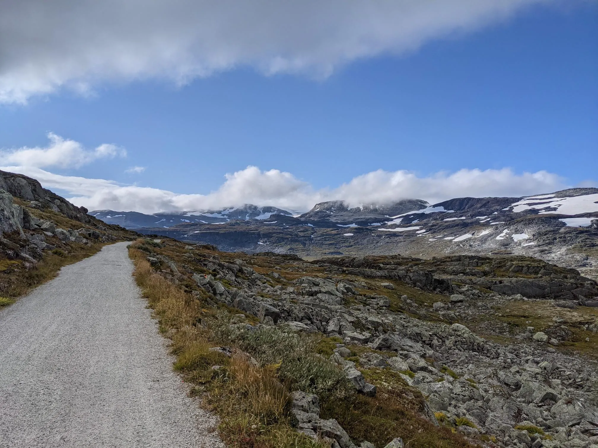
The path from Finse to Geiterygghytta leads several kilometers through scree, snowfields and rocky ground.
0
0
Please note: This hut is not designed for regular overnight stays.
0
0
The natural surroundings of Finse are exceptionally beautiful, making it a great starting point for various one-day and multi-day tours. The connection to the train line from Oslo to Bergen also makes travel to and from the area very convenient.
0
0
Finse Station is located on the railway line connecting Oslo and Bergen. Finse is the highest station in Scandinavia.
0
0

Don't hike in mid-June! There's massive amounts of snow, so you can't see the trail most of the way, and you have to check the Komoot app to make sure you're not walking over a frozen lake covered in snow. It was snowing everywhere, so we more than doubled our time! Additionally, there were some very dangerous sections where we were forced to hike over steep, avalanche-prone sections over several meters of snow.
1
1

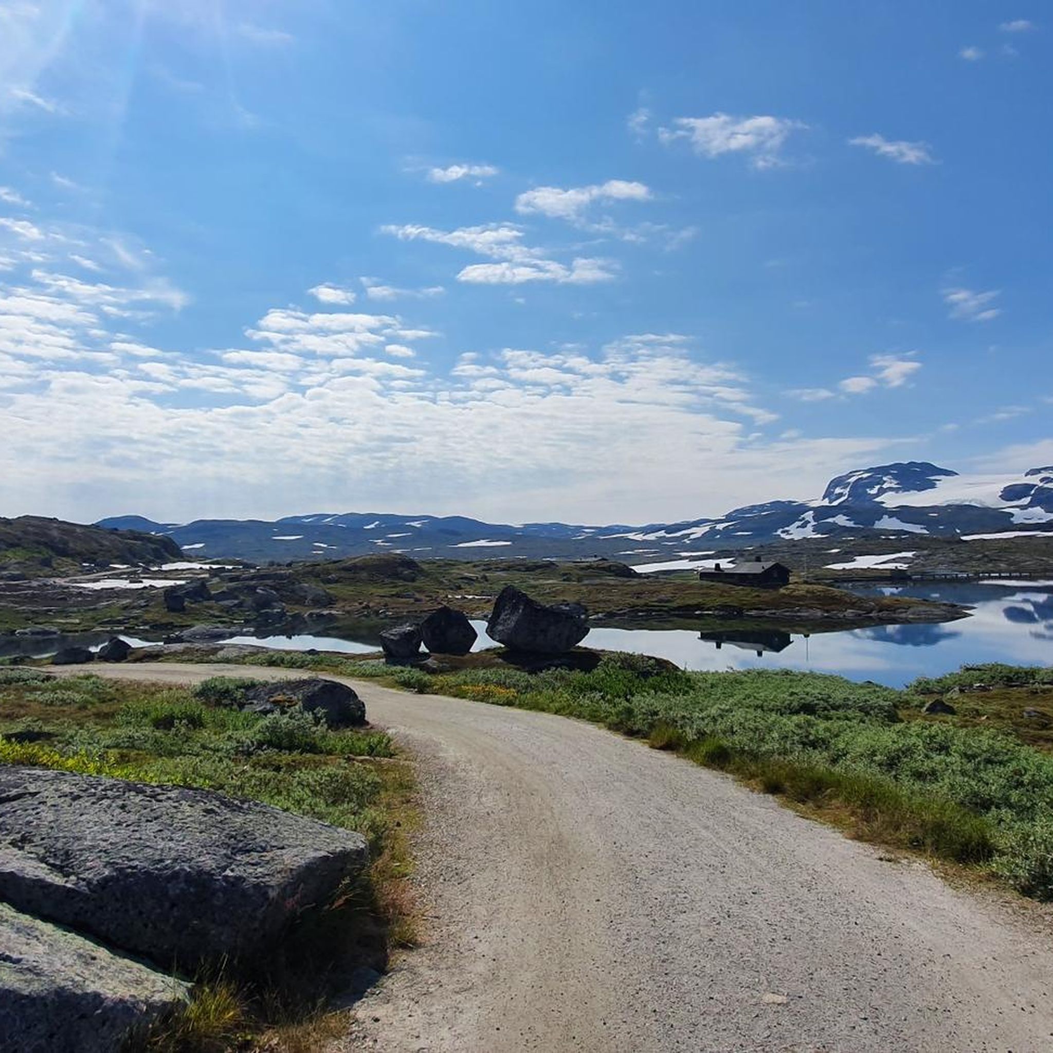
Finsevatnet is a high-altitude lake located right next to the tiny village of Finse, at 1,214 meters above sea level in the heart of southern Norway. From the railway station or nearby trails, you get a sweeping panorama that captures the remote, untouched feel of Norway’s high mountain plateau.
0
0
Finsevatnet is a high-altitude lake located right next to the tiny village of Finse, at 1,214 meters above sea level in the heart of southern Norway. The Bergen Line railway skirts its edge, offering passengers stunning views of this glacial-fed lake framed by snow-dusted peaks and sweeping mountain plateaus.
1
0
Hardangerjøkulen is one of Norway’s largest glaciers, a vast, shimmering ice cap stretching across the rugged Hardangervidda plateau. Surrounded by barren highlands and dramatic peaks, the glacier’s white expanse creates a striking contrast against the deep blues of nearby lakes and the muted tones of the alpine terrain. Its accessible location near Finse makes it a popular destination for hikers and glacier tours alike.
1
0
Frequently Asked Questions
How many hiking trails are there around Finsevatnet?
The Finsevatnet area offers a variety of hiking experiences with over 15 routes available on komoot. These trails range from easy strolls to challenging alpine treks, catering to different skill levels.
What kind of terrain can I expect on hikes around Finsevatnet?
Hikes around Finsevatnet feature a high-alpine environment with rugged mountains, glacial landscapes, and the vast Hardangervidda plateau. Trails can vary from well-maintained paths, like sections of the Rallarvegen, to more demanding, rocky terrain, especially on ascents to peaks or towards the glacier. Be prepared for varying conditions and potentially exposed areas.
Are there any family-friendly hiking options near Finsevatnet?
While many routes in Finsevatnet are moderate to difficult, there are options suitable for families. The region offers leisurely strolls along serene lakeshores. For specific family-friendly recommendations, it's best to check individual route descriptions on komoot for details on distance and elevation.
Can I bring my dog on the hiking trails around Finsevatnet?
Generally, dogs are welcome on hiking trails in Norway, but it's crucial to keep them on a leash, especially during the bird nesting season (April 1 to August 20) and in areas with grazing livestock. Always check local regulations and respect wildlife. Ensure your dog is capable of handling the terrain and weather conditions.
What are the best ways to get to Finsevatnet for hiking?
Finse is highly accessible by train, as it hosts the highest railway station in Northern Europe. You can reach Finse directly from major cities like Oslo and Bergen. Once in Finse, many trails are within walking distance. Parking options are limited, making public transport the most convenient way to arrive.
Are there any circular hiking routes in the Finsevatnet area?
Yes, there are circular hiking routes available. For example, the Loop hike to Store Finsenut (1559 m.) is a moderate 8.5 km trail that takes you through high-mountain terrain, offering panoramic views. You can find more circular options by filtering tours on komoot.
What unique natural features or landmarks can I see while hiking?
The Finsevatnet region is rich in natural landmarks. You can hike towards the impressive Hardangerjøkulen Glacier, one of Norway's largest. Other notable features include the dramatic high-mountain scenery around Kyrkjedøri, and the historic Rallarvegen, which offers scenic views of the lake and surrounding mountains.
What is the best time of year to go hiking around Finsevatnet?
The best time for hiking around Finsevatnet is typically during the summer months, from late June to September, when the snow has largely melted and the weather is milder. This period offers the most accessible trails and pleasant conditions for exploring the high-alpine environment. Outside of summer, conditions can be challenging due to snow and ice.
Are there places to stay or eat near the hiking trails?
Yes, Finse offers amenities for hikers. The Finsehytta mountain hut, located on the shore of Lake Finsevatnet, serves as an excellent starting point for tours and provides accommodation and meals. The small Finse Mountain Village also has facilities, including the historic Finse 1222 hotel, offering places to eat and stay.
What do other hikers say about the trails around Finsevatnet?
The trails in Finsevatnet are highly rated by the komoot community, with an average score of 4.5 stars from nearly 100 reviews. Hikers often praise the breathtaking scenery, the unique glacial landscapes, and the sense of wilderness. Many appreciate the diverse options, from challenging glacier routes to scenic sections of the Rallarvegen.
Is it possible to hike around Finsevatnet in winter?
Winter hiking in Finsevatnet is possible but requires significant experience, proper equipment (such as skis or snowshoes), and careful planning due to harsh weather conditions, deep snow, and avalanche risk. Many trails become inaccessible or require specialized winter navigation skills. It's generally recommended for experienced winter adventurers.
Are there any permits required for hiking in the Finsevatnet region?
Generally, no specific permits are required for hiking on established trails in the Finsevatnet region. However, always respect local regulations, especially concerning protected areas within the Hardangervidda National Park, and adhere to rules regarding camping, fires, and waste disposal.
Can I go wild swimming in Finsevatnet?
While Finsevatnet's glacial waters are stunning, they are also extremely cold, even in summer. Wild swimming is technically possible, but it is only recommended for experienced cold-water swimmers and with extreme caution due to the low water temperatures and potential for rapid weather changes. Always prioritize safety.
Most popular routes around Finsevatnet
Most popular attractions around Finsevatnet

Get inspired with the komoot mobile app


Explore more
Browse the best Hikes in other regions.
