The best walks and hikes around Sandvinvatnet
4.5
(1209)
6,219
hikers
59
hikes
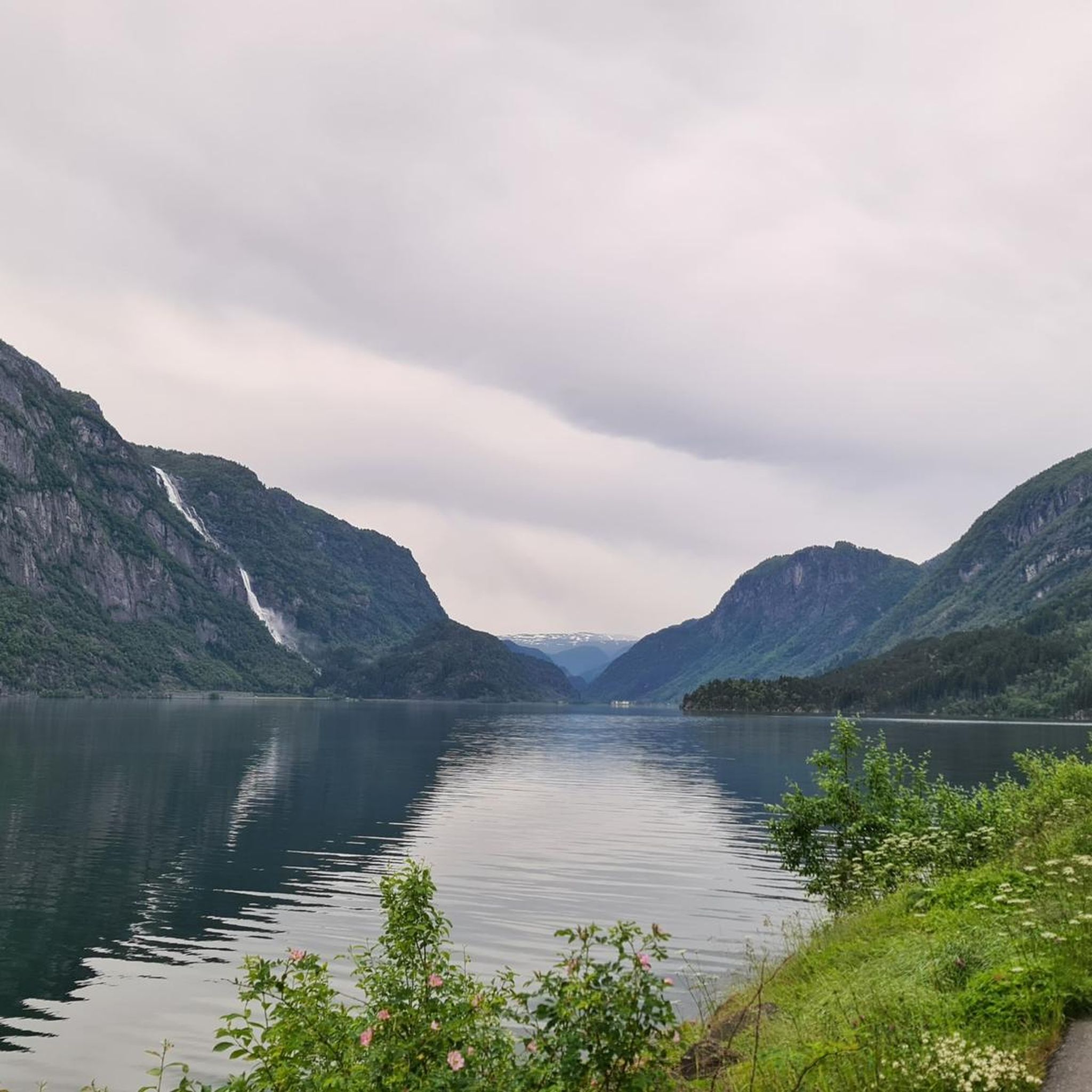
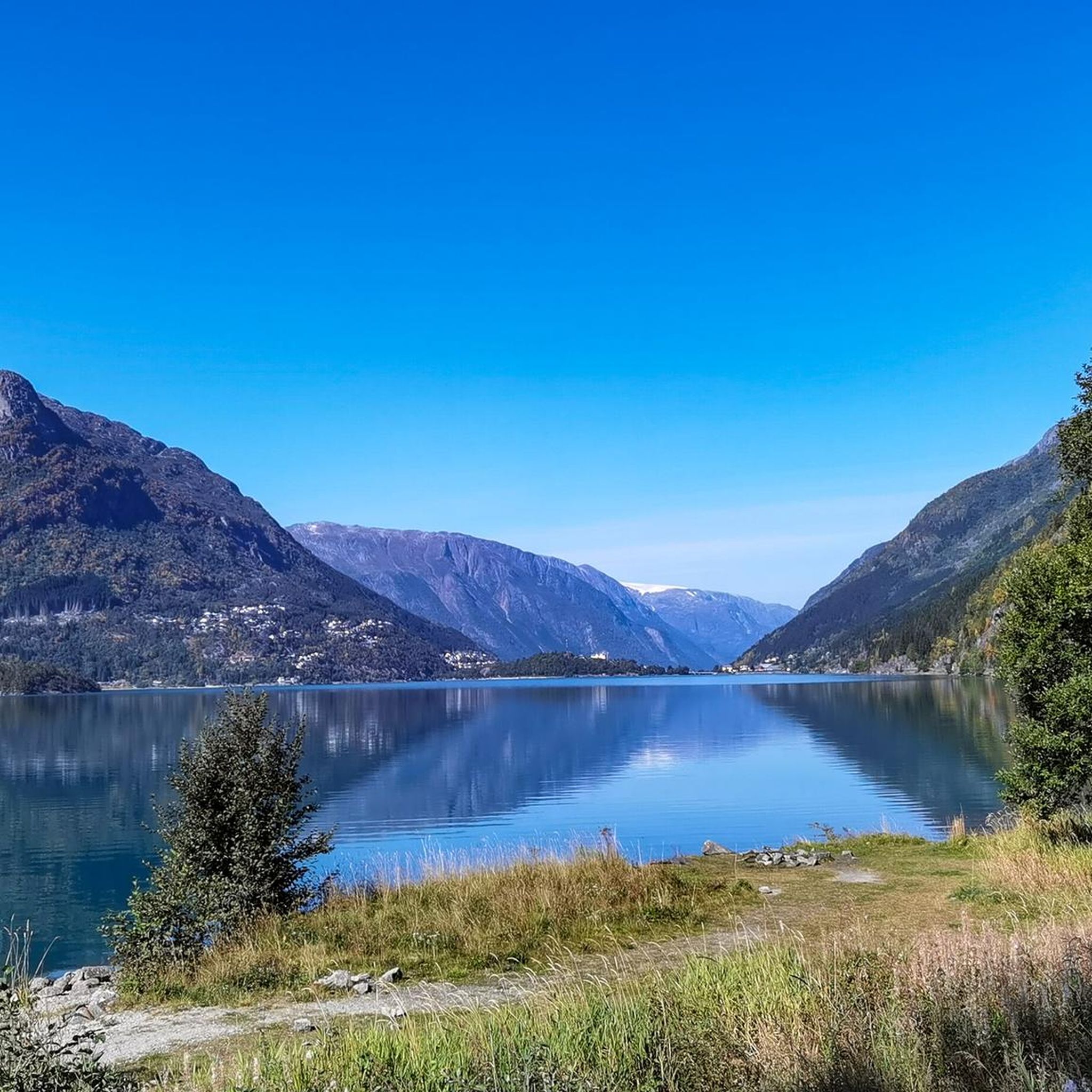
Hiking trails around Sandvinvatnet offer diverse landscapes centered around the lake in Hordaland. The region features a mix of valley paths, riverside routes, and trails leading to waterfalls. Hikers can explore the area's natural beauty, including views of the Sørfjorden and the Opo River. The terrain varies from gentle lakeside strolls to more challenging ascents into the surrounding hills.
Best hiking trails around Sandvinvatnet
- The most popular hiking route is From Odda to Sandvin, a 7.1 miles (11.4 km)…
Last updated: May 23, 2026
4.5
(11)
42
hikers
11.4km
03:23
320m
320m
Moderate hike. Good fitness required. Easily-accessible paths. Suitable for all skill levels.
4.4
(49)
122
hikers
6.41km
01:48
130m
130m
Easy hike. Great for any fitness level. Easily-accessible paths. Suitable for all skill levels.

Sign up for free
4.9
(17)
75
hikers
4.88km
01:24
110m
110m
Easy hike. Great for any fitness level. Easily-accessible paths. Suitable for all skill levels.
4.4
(25)
120
hikers
10.3km
03:08
330m
330m
Moderate hike. Good fitness required. Easily-accessible paths. Suitable for all skill levels.
3.6
(5)
24
hikers
12.2km
03:23
210m
220m
Moderate hike. Good fitness required. Easily-accessible paths. Suitable for all skill levels.
Get access to more routes and recommendations from other explorers.
Sign up for free
Already have an account?
Our route recommendations are based on thousands of hikes, rides, and runs completed by other people on komoot.
Start today with a free account
Your next adventure awaits.
Login or Signup
Popular around Sandvinvatnet
Tips from the Community

It costs money, but it's worth its weight in gold
0
0

Hut with food and dinks, perfect after the walk.
2
0

easy but very beautiful route
0
0

In Odda lies Norway's largest stone, which was left behind when the glacier retreated in the Odda Valley around 10,000 years ago.
2
0

The Opo flows steeply down to the fjord. A beautiful footpath leads along the roaring river.
1
0
There are a few huge boulders at the campsite.
3
0

Where brute force is useless, they also dismantle huge stones
2
1
A large white wooden church from 1870. Unfortunately, it was not possible to visit the interior as it was closed.
2
0
Frequently Asked Questions
How many hiking trails are available around Sandvinvatnet?
There are over 50 hiking trails around Sandvinvatnet, offering a diverse range of experiences. This includes 23 easy routes, 26 moderate routes, and 10 more challenging options, ensuring something for every skill level.
Are there any easy or beginner-friendly hikes near Sandvinvatnet?
Yes, Sandvinvatnet offers many easy hikes suitable for beginners. An excellent option is the View of Sørfjorden at Odda – Opo River Rapids in Odda loop from Odda, an easy 3.9-mile (6.3 km) circular path providing scenic views without significant elevation gain. Another easy choice is the Furebergfossen – Strandsfossen Waterfall loop from Hildal naturreservat, which is 3.0 miles (4.9 km) and leads to impressive waterfalls.
What kind of viewpoints can I expect to find along the trails?
Hikers can enjoy various stunning viewpoints around Sandvinvatnet. Many trails offer panoramic views of the lake itself, the Sørfjorden, and the surrounding valleys. A notable highlight is the View of Sandvevatnet Lake and Old Boathouses, which provides a picturesque scene of the water and traditional structures.
Are there any circular hiking routes in the Sandvinvatnet area?
Yes, there are several circular routes available. A popular choice is the View of Sørfjorden at Odda – Opo River Rapids in Odda loop from Odda, which is an easy 3.9-mile (6.3 km) loop. Another option is the Trolltunga Camping – Buarbreen Parking Area loop from Eide, a moderate 6.7-mile (10.7 km) trail.
What natural attractions or landmarks can be seen while hiking?
The Sandvinvatnet area is rich in natural beauty. You can discover impressive waterfalls like Strandsfossen Waterfall and Espelandsfossen Waterfall. There's also the unique Norway's Largest Boulder (Norges Største Stein), and the scenic Glacial River Cascade Near Sandvinvatnet.
What is the best time of year to hike around Sandvinvatnet?
The best time to hike around Sandvinvatnet is typically during the late spring, summer, and early autumn months (May to September). During this period, the weather is generally milder, trails are clear of snow, and the natural landscape is at its most vibrant. Summer offers the longest daylight hours and the most stable conditions.
What are the typical hiking conditions in summer around Sandvinvatnet?
In summer, hiking conditions around Sandvinvatnet are generally favorable. Trails are usually dry, though some areas, especially near waterfalls or rivers, can be damp. Temperatures are pleasant, but it's always wise to be prepared for sudden weather changes, including rain. The terrain varies from well-maintained paths to more rugged, rocky sections, particularly on moderate to difficult routes.
What should I wear for hiking in Sandvinvatnet?
For hiking in Sandvinvatnet, especially during summer, it's recommended to wear layers. This includes moisture-wicking base layers, a warm mid-layer, and a waterproof and windproof outer shell. Sturdy hiking boots with good ankle support are essential, as is a hat, gloves, and sun protection. Always pack extra warm clothing, even on sunny days, as mountain weather can change quickly.
Is there public transport available to reach the trailheads around Sandvinvatnet?
Public transport options to trailheads around Sandvinvatnet can be limited, especially for more remote starting points. However, some routes, like the popular From Odda to Sandvin, are accessible from towns like Odda, which have bus connections. It's advisable to check local bus schedules in advance for specific routes.
Are there parking facilities available for hikers?
Yes, parking facilities are generally available near popular trailheads and attractions around Sandvinvatnet. For example, routes starting from Odda or Hildal naturreservat will have designated parking areas. Some more remote trails might have smaller, less formal parking spots. Always check specific route information for parking details and potential fees.
What do other hikers enjoy most about hiking in Sandvinvatnet?
The Sandvinvatnet area is highly rated by the komoot community, with an average score of 4.6 stars from over 1200 reviews. Hikers frequently praise the stunning lake views, the impressive waterfalls, and the diverse terrain that offers options for both leisurely strolls and more challenging ascents. The natural beauty and varied landscapes are consistently highlighted as key attractions.
Are there any family-friendly hiking options around Sandvinvatnet?
Absolutely. Many of the easy trails around Sandvinvatnet are suitable for families. The Furebergfossen – Strandsfossen Waterfall loop from Hildal naturreservat is a great family-friendly option, offering a relatively short 3.0-mile (4.9 km) walk through a natural reserve to beautiful waterfalls, making it engaging for children.
Most popular attractions around Sandvinvatnet

Get inspired with the komoot mobile app


Explore more
Browse the best Hikes in other regions.
