The best walks and hikes around Selbusjøen
3.8
(6)
66
hikers
10
hikes
Hiking around Selbusjøen offers diverse terrain characterized by mountainous areas and rolling hills surrounding the 17th largest lake in Norway. The region features extensive networks of trails winding through dense woodlands and past impressive waterfalls like Storfossen. Hikers can explore varied landscapes, from the shores of Lake Selbusjøen to higher elevations offering vistas of the Norwegian countryside.
Best hiking trails around Selbusjøen
- The most popular hiking route is Svendalstjenna loop from Høgda, a 5.3 miles (8.6 km) trail that…
Last updated: May 14, 2026
4.0
(1)
12
hikers
8.60km
02:34
280m
280m
Moderate hike. Good fitness required. Easily-accessible paths. Suitable for all skill levels.
4.0
(1)
6
hikers
9.17km
02:47
310m
310m
Moderate hike. Good fitness required. Easily-accessible paths. Suitable for all skill levels.

Sign up for free
4.0
(1)
6
hikers
9.17km
02:47
310m
310m
Moderate hike. Good fitness required. Easily-accessible paths. Suitable for all skill levels.
2.0
(1)
4
hikers
5.09km
01:39
220m
220m
Easy hike. Great for any fitness level. Easily-accessible paths. Suitable for all skill levels.
5
hikers
3.85km
01:04
70m
70m
Easy hike. Great for any fitness level. Easily-accessible paths. Suitable for all skill levels.
Get access to more routes and recommendations from other explorers.
Sign up for free
Already have an account?
Our route recommendations are based on thousands of hikes, rides, and runs completed by other people on komoot.
Start today with a free account
Your next adventure awaits.
Login or Signup
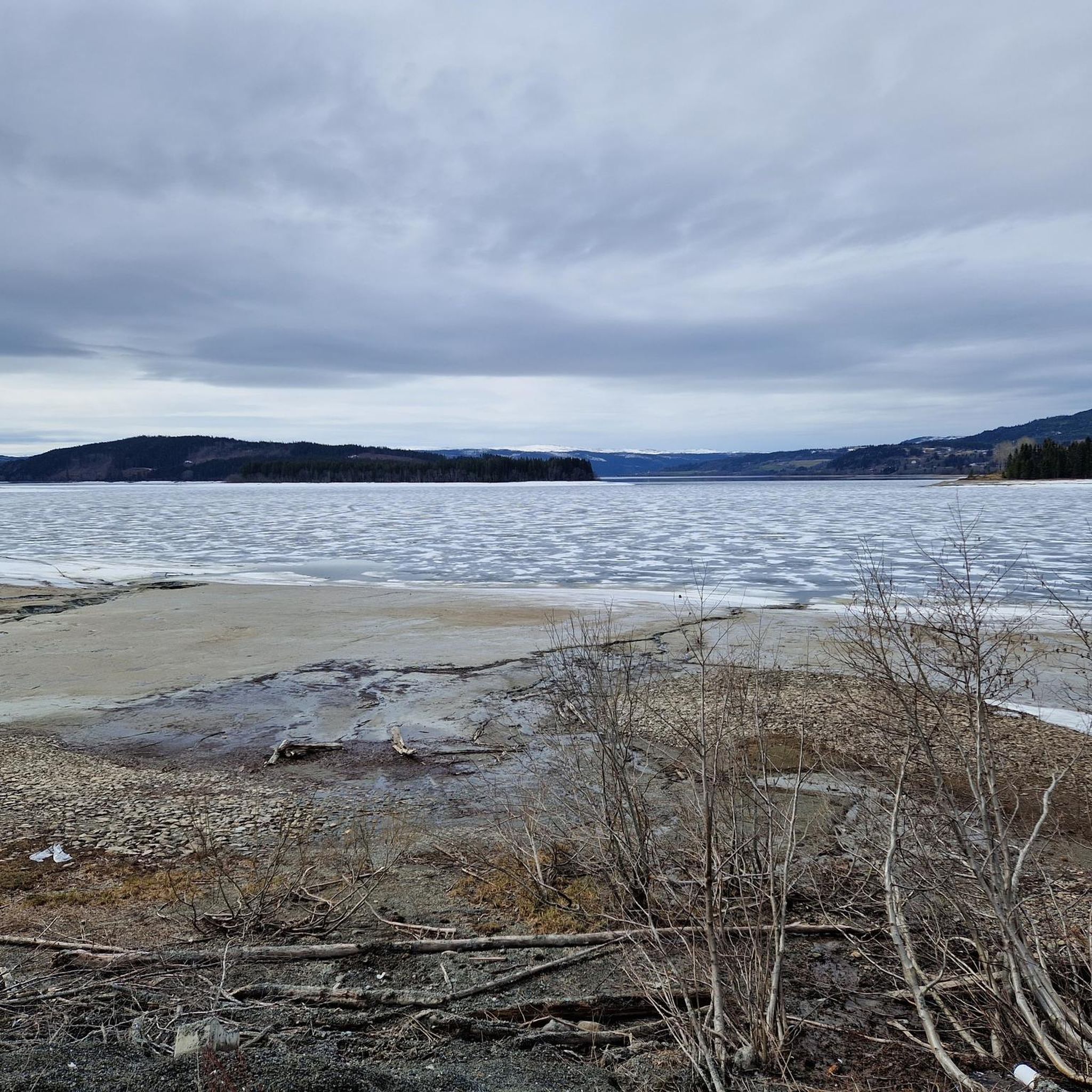
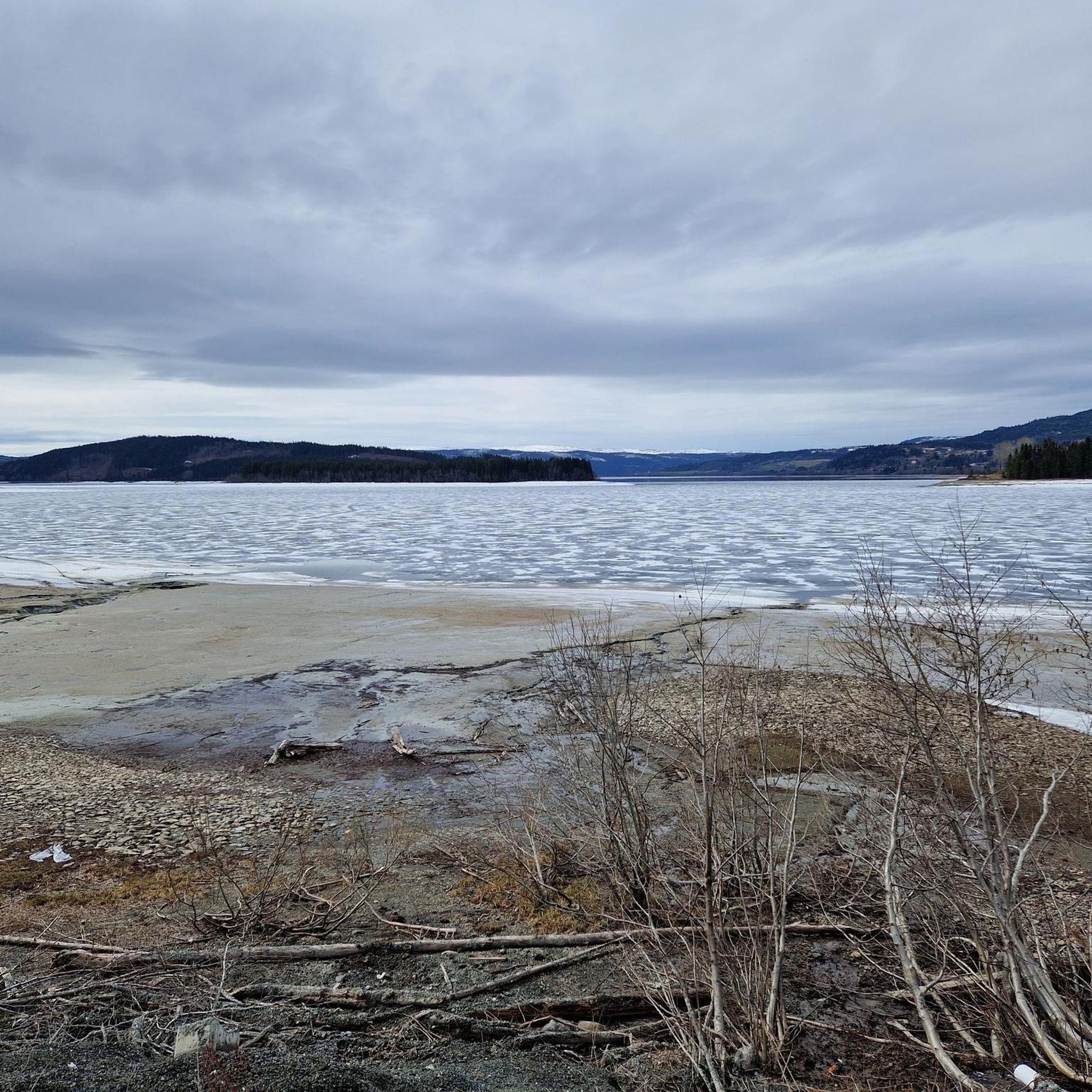

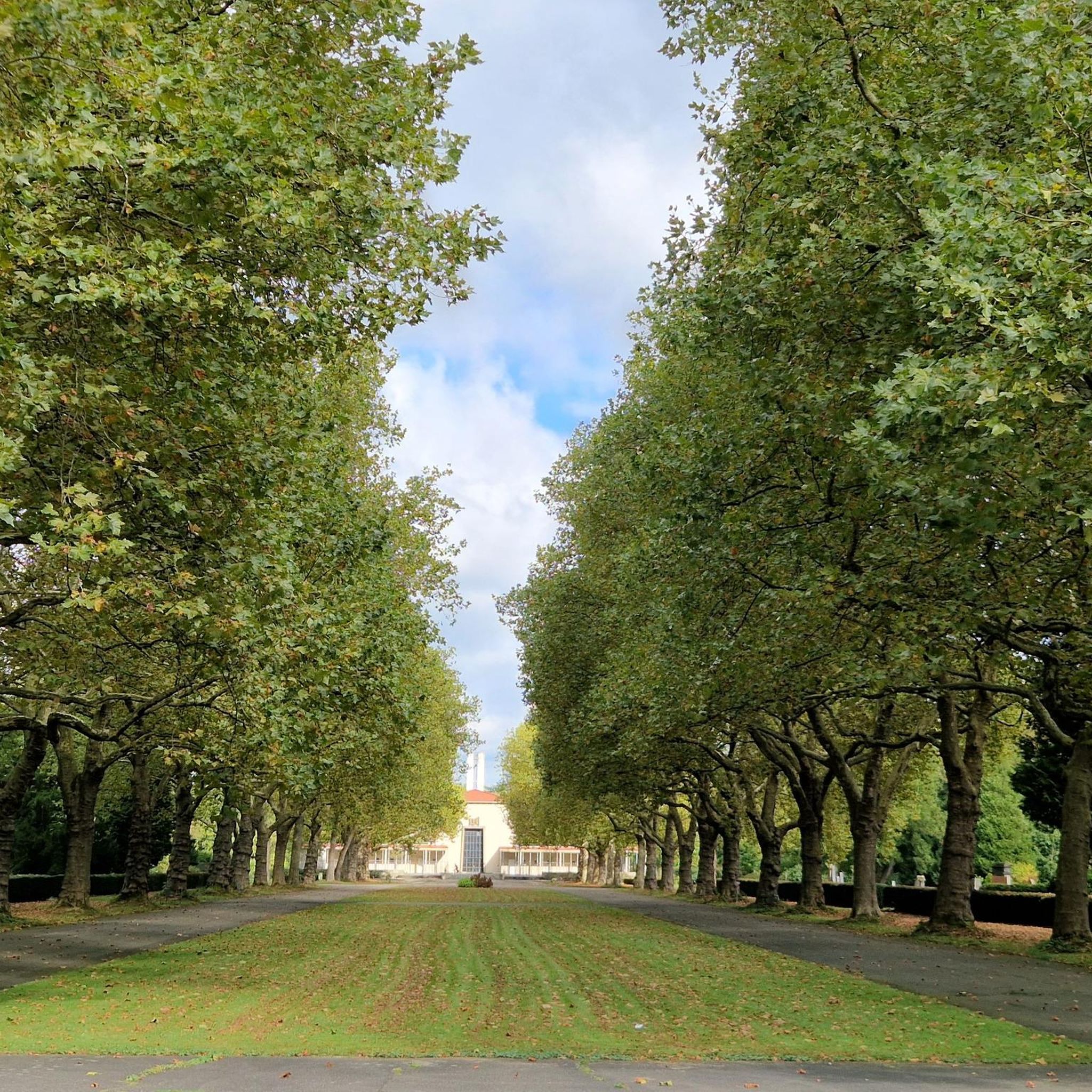
Tips from the Community

A beautiful trail that winds through the woods. The path isn't a dirt forest trail; it's more like a wide, compact gravel path. It's a very pleasant spot for a peaceful stroll.
0
0
Heinfjordstua is a secluded cabin nestled in the woods, just a short walk from the lake’s shore. There are two cabins and a flat outdoor area where you can pitch a tent. If you’re looking for an authentic Nordic experience, you’ve come to the right place.
0
0


A 697m high summit in the municipality of Selbu with radar station and great views of the Trondheim fjord and Trollheimen
1
0
Frequently Asked Questions
What kind of hiking trails can I expect around Selbusjøen?
The Selbusjøen region offers a diverse range of hiking trails, from easy walks along the lake shores to more challenging mountain treks. You'll find paths winding through dense woodlands, across rolling hills, and up to mountainous terrain, providing varied elevation changes and stunning views of the Norwegian countryside. The area is known for its well-marked routes suitable for all skill levels.
Are there any easy or family-friendly hiking options in Selbusjøen?
Yes, Selbusjøen has several easy and family-friendly hiking options. Many trails around the shores of Lake Selbusjøen offer gentle walks with beautiful lake views. For example, the Finnpålstuggu loop from Saksvikvollen is an easy route that takes about 1 hour 40 minutes to complete, making it suitable for shorter outings.
Where can I find trails with impressive waterfalls in the Selbusjøen area?
Selbusjøen is home to several impressive waterfalls. Storfossen, with its 40-meter drop, is one of Trøndelag's most spectacular. Other notable waterfalls include Mettifossen and Dølanfossen. Many hikes leading to these waterfalls traverse the beautiful Homla Nature Reserve. You can find more information about Storfossen on Visit Trondheim's website.
Are there any challenging hikes for experienced trekkers?
For more experienced hikers, Selbusjøen offers routes with greater challenges and elevation gains. While specific challenging routes are not detailed in the guide, the region's mountainous terrain, including areas near Mount Gullsteinen and Mount Storheia, provides opportunities for longer and more strenuous treks. The Åltjørnryin – Bakliin loop from Vennberg is a moderate route that covers nearly 10 km with significant elevation, offering a good workout.
What are the best trails for panoramic views in Selbusjøen?
Many trails in Selbusjøen offer spectacular panoramic views. The mountainous terrain and rolling hills provide numerous vantage points overlooking Lake Selbusjøen and the surrounding Norwegian countryside. The Jervfjellet Summit – Jervfjellet loop from Saksvikvollen is a popular choice, specifically offering views from Jervfjellet Summit.
Can I find circular hiking routes around Selbusjøen?
Yes, circular routes are a popular option in the Selbusjøen area, allowing you to start and end your hike at the same point. The Svendalstjenna loop from Høgda is a well-liked circular trail covering about 8.6 km. Another excellent option is the View from Gråberga – Jervfjellet Summit loop from Saksvikvollen, which also forms a loop.
What do other hikers say about the trails in Selbusjøen?
The hiking routes in Selbusjøen are highly rated by the komoot community, with an average score of 3.8 stars from 6 reviews. Hikers often praise the varied terrain, the beautiful lake and mountain views, and the opportunity to explore dense forests and impressive waterfalls. Over 50 hikers have used komoot to discover the diverse landscapes of Selbusjøen.
Are there any nature reserves or national parks accessible for hiking near Selbusjøen?
Yes, parts of the Skarvan and Roltdalen National Park are accessible for hiking through routes like the Ramsjøen out and back trail. Additionally, large sections of hiking paths, particularly those leading to the region's waterfalls, traverse the Homla Nature Reserve, showcasing the area's commitment to preserving its natural heritage.
What is the typical duration for hikes in Selbusjøen?
The duration of hikes in Selbusjøen varies depending on the route's length and difficulty. Easy walks can take less than two hours, while moderate trails typically range from 2 to 3 hours. For instance, the Svendalstjenna loop from Høgda takes approximately 2 hours 34 minutes, while the View from Gråberga – Jervfjellet Summit loop from Saksvikvollen is often completed in about 2 hours 47 minutes.
Is it possible to hike in Selbusjøen during winter?
While the guide focuses on general hiking, the region's mountainous terrain and potential for snow mean that winter hiking conditions can be challenging. It's advisable to check local weather forecasts and trail conditions before attempting winter hikes and to be prepared with appropriate gear for snow and ice.
Are there any specific landmarks or points of interest along the trails?
Beyond the natural beauty of Lake Selbusjøen, its surrounding mountains, and waterfalls, some trails may lead past historical or cultural points of interest. For example, the Gullsteinen Loop Trail is noted for passing ancient ruins. The Royal Circuit Trail also circles famous landmarks, including Royal Peak, offering a blend of nature and heritage.

Get inspired with the komoot mobile app


Explore more
Browse the best Hikes in other regions.
