The best cycling routes in Licking County
4.8
(36)
202
riders
16
rides
Touring cycling in Licking County offers a network of trails primarily following river valleys and former railway lines, providing varied terrain for cyclists. The region features a landscape of rolling hills, open countryside, and natural areas like gorges and lake shores. These routes often utilize paved paths, making them suitable for different types of touring bikes.
Best touring cycling routes in Licking County
- The most popular touring cycling route is Thomas J. Evans Trail, a 27.9 miles (45.0 km)…
Last updated: July 7, 2026
3.0
(4)
29
riders
45.0km
02:35
110m
110m
Moderate bike ride. Good fitness required. Mostly paved surfaces. Suitable for all skill levels.
5.0
(11)
17
riders
13.0km
00:46
10m
10m
Easy bike ride. Great for any fitness level. Mostly paved surfaces. Suitable for all skill levels.

Sign up for free
4.5
(2)
10
riders
14.6km
00:54
110m
110m
Easy bike ride. Great for any fitness level. Mostly paved surfaces. Suitable for all skill levels.
21.7km
01:17
80m
80m
Easy bike ride. Great for any fitness level. Mostly paved surfaces. Suitable for all skill levels.
5.0
(1)
7
riders
24.9km
01:27
70m
70m
Easy bike ride. Great for any fitness level. Mostly paved surfaces. Suitable for all skill levels.
5.0
(1)
11
riders
28.1km
01:36
70m
70m
Easy bike ride. Great for any fitness level. Mostly paved surfaces. Suitable for all skill levels.
5.0
(1)
9
riders
23.3km
01:28
90m
90m
Easy bike ride. Great for any fitness level. Mostly paved surfaces. Suitable for all skill levels.
8
riders
20.6km
01:13
80m
80m
Easy bike ride. Great for any fitness level. Mostly paved surfaces. Suitable for all skill levels.
5.0
(1)
5
riders
75.3km
04:28
260m
260m
Moderate bike ride. Good fitness required. Mostly paved surfaces. Suitable for all skill levels.
4
riders
40.5km
02:22
120m
120m
Moderate bike ride. Good fitness required. Mostly paved surfaces. Suitable for all skill levels.
Get access to more routes and recommendations from other explorers.
Sign up for free
Already have an account?
Our route recommendations are based on thousands of hikes, rides, and runs completed by other people on komoot.
Start today with a free account
Your next adventure awaits.
Login or Signup


Tips from the Community

Take a moment at the trailhead to top up your water and have a look at the historic locomotives.
0
0
The historic stone arch was built in 1874 as a bridge over the old Cleveland, Mt. Vernon, and Delaware Railroad line. If you look closely you can see the signatures left by the masons who shaped the stones and built the bridge.
1
0

Blacklick Creek Trail is a 26-mile paved path that winds through parks, forests, and suburban areas. It offers smooth surfaces ideal and connects to other major trails like the Alum Creek Trail, making it perfect for extended rides.
0
0

This 92-acre park has a rain garden, picnic tables, athletic fields and some woods. It also serves as the trailhead for the Blacklick Creek Trail.
0
0

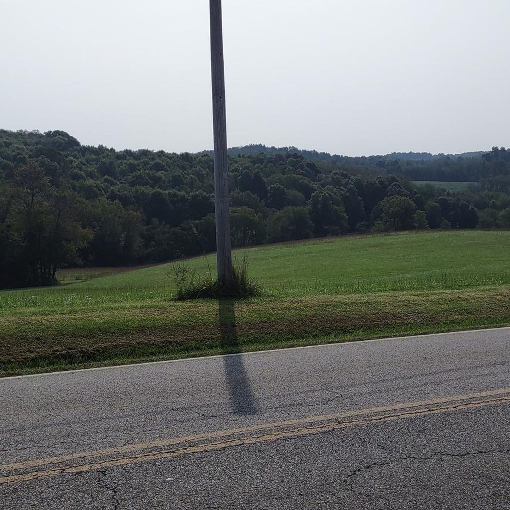
The Heart of Ohio Trail crosses US 36 about 2 miles northeast of Centerburg, where a monument marks the highest point on the trail at 1,285 feet—also the highest point along the entire Ohio to Erie Trail. The monument, shaped as an obelisk that marks this point, is about 5 feet high. This 15.7-mile trail starts in Mount Vernon and heads southwest through Mount Liberty and Centerburg, ending at Huffman Road. For much of its route, the trail runs parallel to US-36 between Mount Vernon and Sunbury.
0
0

East Canal Street was an important area in the history of Newark. The canal that used to be in this area was one of the main factors in the prosperity of Newark in the past. There are still some historic buildings in this area, along with some murals and photos showing how the area used to look.
1
0
The Newark Panhandle Trail runs from Newark to Hanover. It is an almost 10-mile long paved trail that is popular with walkers and cyclists. Although the trial runs alongside the train line, it still takes you through some beautiful green scenery.
1
0
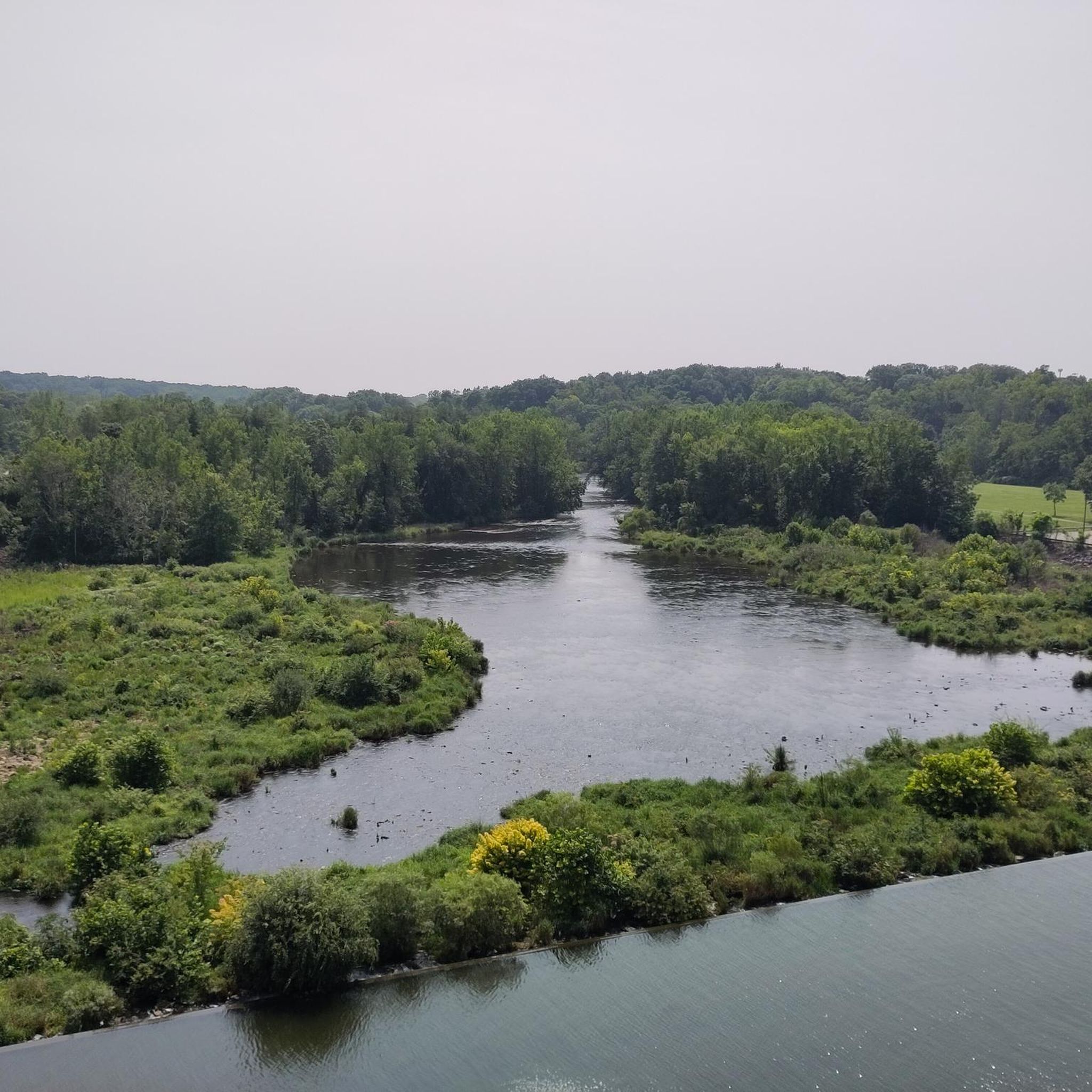
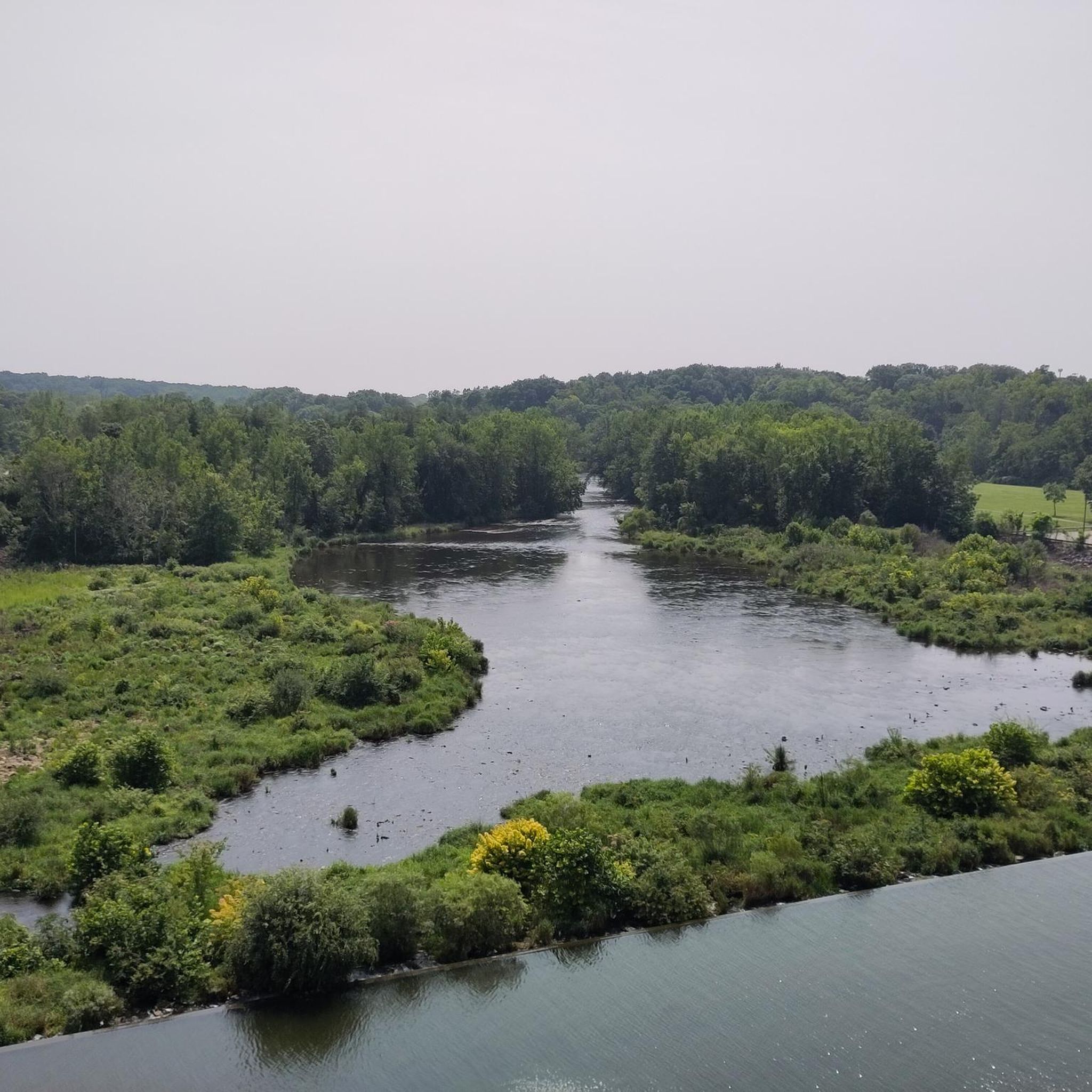
Black Hand Gorge State Nature Preserve is a 4-mile-long sandstone gorge. It is a historic site for Ohio transportation as it had canal boats, steam railroads, and automobiles pass through it.
0
0
Frequently Asked Questions
Are there easy touring cycling routes suitable for beginners or families in Licking County?
Yes, Licking County offers several easy touring cycling routes perfect for beginners and families. The Buckeye Lake Trail is an excellent choice, providing a flat 8.1-mile (13.0 km) path along the lake shore. Another option is the Blackhand Gorge Trail, an easy 9.1-mile (14.6 km) route through a scenic gorge.
What kind of scenery can I expect on touring cycling routes in Licking County?
Licking County's touring cycling routes primarily follow river valleys and former railway lines, offering diverse scenery. You can expect to ride through rolling hills, open countryside, and natural areas such as gorges and lake shores. The Blackhand Gorge Trail, for instance, leads through a particularly scenic gorge.
Are there any longer touring cycling routes for more extended rides in Licking County?
For those seeking longer rides, Licking County has several moderate routes. The Thomas J. Evans Trail is a popular choice, stretching 27.9 miles (45.0 km) and typically taking around 2 hours 35 minutes to complete. Another substantial option is the Start/End of Sandel Legacy Trail – The Coffee Vault loop from Mount Liberty Cemetery, which covers over 32 miles (52 km).
What are some notable landmarks or attractions along the touring cycling routes in Licking County?
Along the touring cycling routes in Licking County, you can explore several interesting points. The Thomas J. Evans Trail itself is a significant attraction. You might also encounter the historic East Canal Street - Historic Downtown, or the natural beauty of Black Hand Gorge State Nature Preserve, accessible via the Blackhand Gorge Paved Path.
When is the best time of year for touring cycling in Licking County?
While specific weather conditions can vary, spring and fall generally offer the most pleasant temperatures for touring cycling in Licking County. These seasons provide comfortable riding conditions and beautiful natural scenery as the landscape changes. Summer can also be enjoyable, though it's advisable to ride earlier in the morning or later in the afternoon to avoid the midday heat.
Are there any circular touring cycling routes available in Licking County?
Yes, Licking County features several circular touring cycling routes. Examples include the Thomas J. Evans Trail loop from Newark, a 15.5-mile (24.8 km) ride, and the Thomas J. Evans Trail loop from Alexandria, which is about 17.4 miles (28 km) long. These loops offer convenient starting and ending points.
What do other touring cyclists enjoy most about Licking County?
The touring cycling routes in Licking County are highly rated by the komoot community, with an average score of 4.6 stars from over 30 reviews. Cyclists often praise the varied terrain, which includes river valleys, lake shores, and natural gorges, as well as the well-maintained paved paths that make the routes suitable for different types of touring bikes.
What is the typical elevation gain on touring cycling routes in Licking County?
The elevation gain on touring cycling routes in Licking County varies depending on the specific trail. Many routes, especially those following former railway lines or lake shores, feature relatively gentle gradients. For example, the Buckeye Lake Trail has minimal elevation change. Longer, moderate routes like the Kokosing Gap Trailhead loop from Hilliar Township, which is over 46 miles (75 km), can have more significant climbs, reaching around 850 feet (260 meters) of ascent.
Are there routes that specifically follow former railway lines or river valleys in Licking County?
Many of Licking County's touring cycling routes are designed to utilize former railway lines and river valleys, providing relatively flat and scenic paths. The T.J. Evans Panhandle Trail is a prime example, offering a smooth ride along a converted rail corridor. These types of routes are characteristic of the region's cycling network.
How many touring cycling routes are available in Licking County?
Licking County offers a good selection of touring cycling routes. There are over a dozen routes documented, with a mix of easy and moderate options to suit various skill levels and preferences.
Is it possible to cycle in Licking County during the winter months?
While some trails may remain accessible, winter cycling in Licking County can be challenging due to colder temperatures, potential snow, or ice. It's advisable to check local weather conditions and trail reports before heading out. Paved paths might be cleared faster than unpaved sections. Always prioritize safety and dress appropriately for the conditions.
Most popular attractions in Licking County

Get inspired with the komoot mobile app


Didn’t find what you were looking for?
Check out more Cycling routes throughout Licking County below and find the perfect route in your destination.
Explore more
Browse the best Cycling routes in other regions.
