The best walks and hikes in Livingston County
4.8
(65)
677
hikers
17
hikes
If you've ever tried to plan hiking in Livingston County, you know how quickly the options can feel overwhelming. With so many trails, it's tough to figure out which ones are genuinely worth your time and effort, and which are just filler. We get it – you want the highlights, not the guesswork. That's where komoot comes in. Our community has mapped, walked, and reviewed countless routes here, and we've distilled that collective wisdom into a curated shortlist of the very best, saving you the endless scrolling.
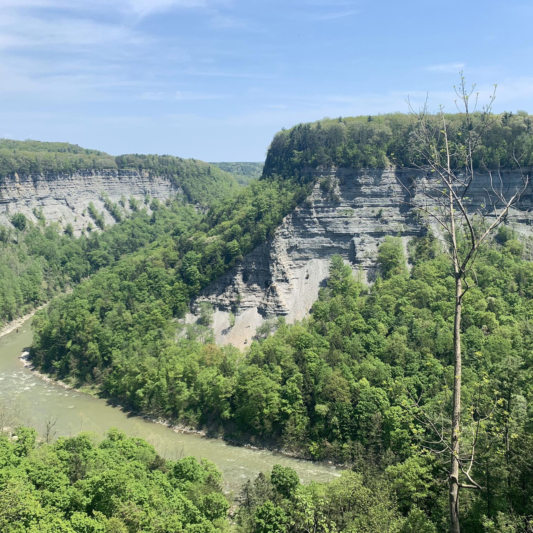
Hiking in Livingston County is all about dramatic river gorges, multiple waterfalls, and the serene, forested lakeshores of the Finger Lakes region. The landscape is dominated by the deep gorge carved by the Genesee River within Letchworth State Park, offering everything from accessible lakeside paths to more challenging routes along the gorge rim. Expect a real mix of terrain, from easy strolls to demanding climbs, all set against a backdrop of dense forests and stunning natural features.
If you only do one hike, make it the Letchworth Trail, a moderate 8.4-mile (13.5 km) route that offers a fantastic overview of the park's iconic gorge views and waterfalls – it’s a classic for a reason. For something a little shorter but still packed with scenery, the moderate Highbanks Trail to Hogsback Overlook, at 6.9 miles (11.0 km), delivers incredible vistas into the gorge from the eastern side. Ready to lace up your boots? There are more than 600 komoot hikers who have already explored these trails, and we're confident you'll find your next favorite route here.
Last updated: May 10, 2026
5.0
(2)
8
hikers
4.10km
01:10
70m
130m
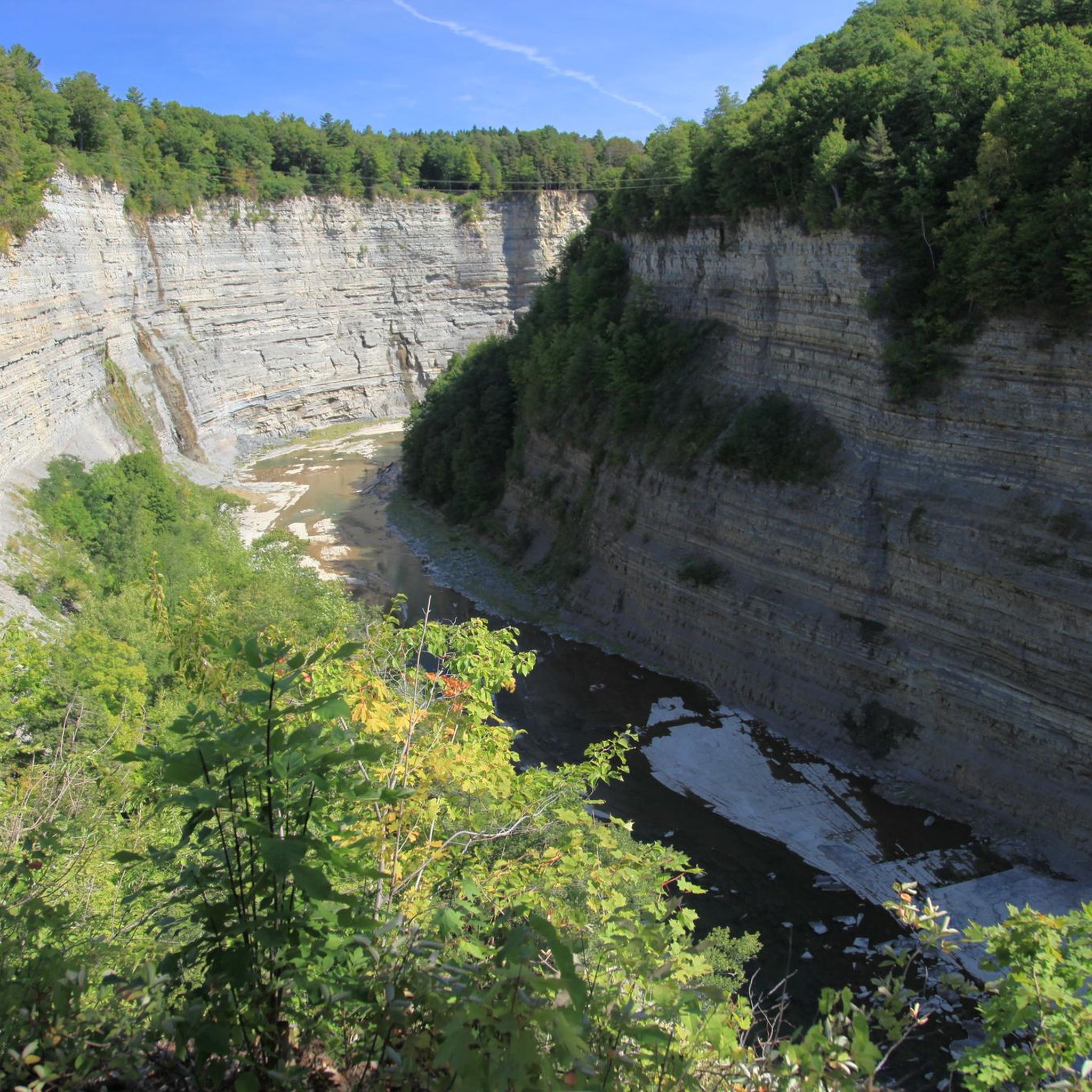
The Gorge Trail in Letchworth State Park offers an intimate encounter with the power and beauty of water sculpting rock over time, making it a truly unique experience. You'll find yourself walking alongside the Genesee River Gorge, with dramatic rock formations and the roar of three main waterfalls accompanying you. Keep an eye out for the impressive Lower Falls and the panoramic View of the Upper and Middle Falls from Inspiration Point, which are definite highlights along the way.
Accessing the Gorge Trail is straightforward, with multiple parking areas available within Letchworth State Park. While the trail is generally open, it's always wise to check for seasonal closures, particularly in winter when conditions can be icy. This easy 2.5-mile (4.1 km) hike, with only 221 feet (67 metres) of elevation gain, typically takes just over an hour, making it a fantastic option for a quick, scenic outing.
Letchworth State Park, often called the "Grand Canyon of the East," is renowned for its deep gorge and numerous waterfalls, setting this particular Gorge Trail apart. The intricate stonework integrated into the natural landscape, a legacy of the Civilian Conservation Corps, adds to the picturesque views. It's a family-friendly route that provides a taste of the park's geological wonders without demanding a full day's commitment.
1
hikers
1.64km
00:25
10m
10m
The Letchworth Wildlife Trail Loop offers a delightful, easy stroll through the natural beauty of Letchworth State Park. This 1.0-mile (1.6 km) route, with a gentle 21 feet (6 metres) of elevation gain, is perfect for those seeking a quick immersion in nature, perhaps reminiscent of the park's Autism Nature Trail with its sensory-engaging features like a Reflection Knoll or music circle. Expect to wander through lush, wooded areas, keeping an eye out for local wildlife such as deer and various bird species.
Planning your visit to this easy 25-minute hike is straightforward, though it's always wise to check the Letchworth State Park website for any specific advisories or seasonal changes. Parking is generally available within the park, but arriving earlier in the day, especially on weekends, can help ensure a smoother start to your adventure. This trail is particularly well-suited for families or anyone looking for a relaxing, accessible outdoor experience.
Letchworth State Park, often called the "Grand Canyon of the East," is a haven for wildlife, making any trail here a potential wildlife viewing opportunity. The park is a certified bird conservation area, home to bald eagles, cerulean warblers, and numerous songbirds. This loop provides a taste of the park's rich biodiversity in a manageable, family-friendly format, offering a chance to connect with nature without committing to a longer, more strenuous hike.

Sign up for free
1
hikers
5.66km
01:26
10m
10m
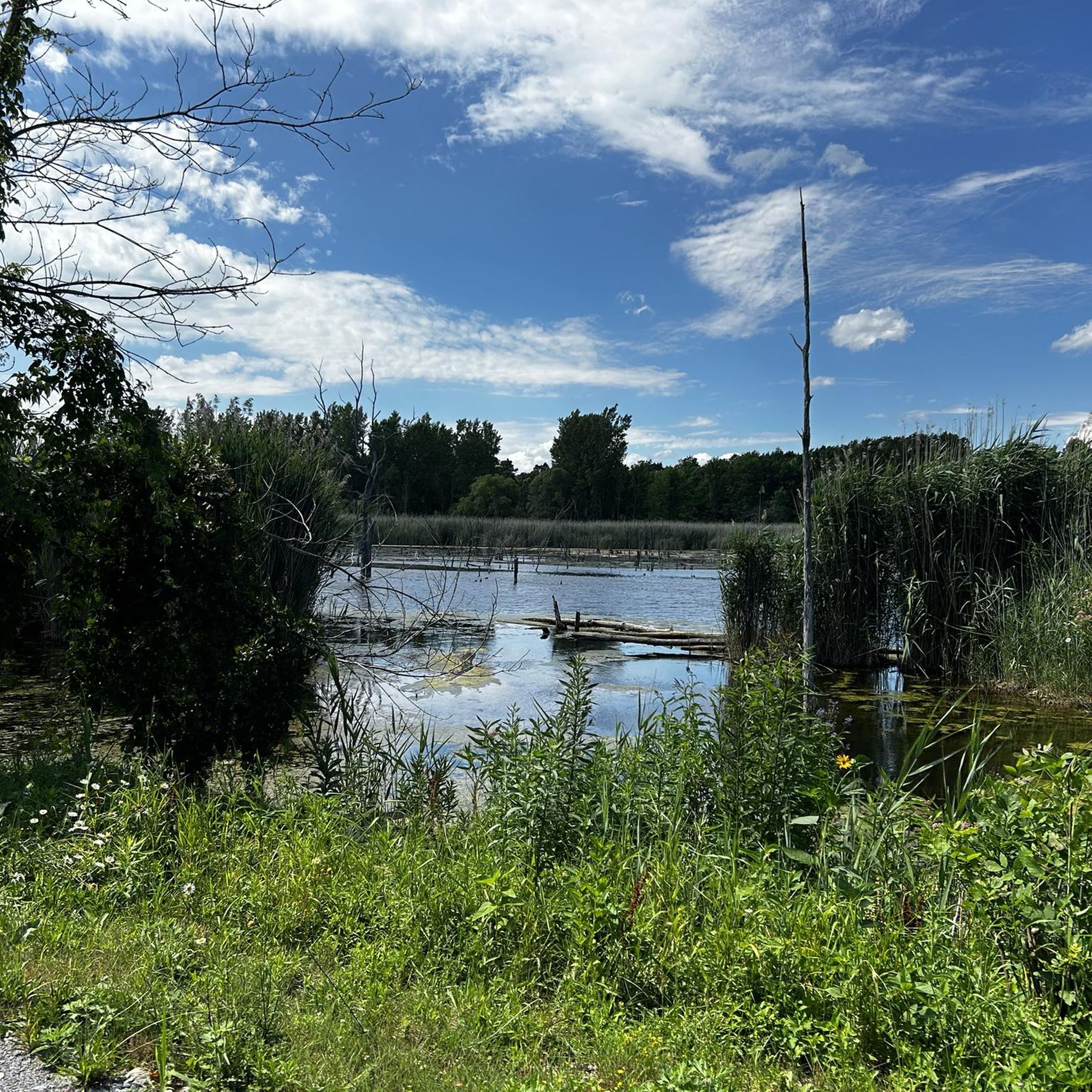
The Conesus Lake Inlet Trail offers a delightful journey through a vibrant wetland ecosystem, perfect for a relaxed nature walk. You'll wander along level paths, traversing boardwalks over cattail marshes and through shaded hardwood stands, with the trail eventually opening up to scenic views of Conesus Lake itself. It's a fantastic spot for wildlife watching, where you might spot waterfowl, herons, and even bald eagles, making it one of the most popular trails near Conesus Lake for nature lovers.
Planning your visit is straightforward; the trail is largely flat and easy to navigate, making it a great option for family friendly hikes. While there's no mention of permits or fees, it's wise to bring bug spray and wear appropriate footwear, as conditions can be muddy and buggy depending on the season. For a truly unique experience, aim for mid-March to mid-April to witness the impressive annual fish migration.
This easy 3.5-mile (5.7 km) hiking route, with a minimal 40 feet (12 metres) of elevation gain, takes about 1 hour and 26 minutes to complete. The Conesus Inlet Wildlife Management Area is renowned for its rich biodiversity, serving as a crucial stopover for migratory birds. The highlight, however, is the annual springtime spawning of northern pike and walleyes, which you can observe from dedicated observation platforms, making it a truly special natural feature.
2.60km
00:42
10m
90m
The Highbanks Trail offers a delightful, easy hike, perfect for a quick nature break. This 1.6-mile (2.6 km) route, with a minimal 27 feet (8 metres) of elevation gain, can be completed in about 42 minutes, making it an ideal choice for a leisurely stroll. You'll find yourself on a pleasant path leading to the scenic Lower Falls, Genesee Valley Greenway, providing a lovely natural highlight for your short adventure.
Planning your visit to the Highbanks Trail is simple; it's a great option for a spontaneous outing. The trailhead is easily accessible, and given its short length and easy difficulty, you won't need to worry about extensive preparation. It's suitable for hikers of all levels, and you can enjoy it throughout the year, though a quick check of the local weather is always recommended.
This trail is a fantastic example of a family-friendly hike, offering a gentle introduction to the outdoors without demanding much time or effort. Its location within Livingston County makes it a convenient escape, providing a peaceful natural setting for a brief but rewarding experience. It's a hidden gem for those seeking an accessible and enjoyable walk.
1.76km
00:30
40m
40m
The Indian Fort Nature Preserve Loop Trail offers a delightful and accessible hike through a landscape rich in natural beauty and history. As you follow this easy 1.1-mile (1.8 km) route, which takes about 30 minutes to complete, you'll wander through diverse ecosystems, from dense hardwood forests to open meadows and unique glacially carved gullies. Keep an eye out for exposed shale cliffs and small, seasonal waterfalls, especially after a good rain, adding to the scenic charm of this trail.
Planning your visit to the Indian Fort Nature Preserve is straightforward, as the trails are well-marked and generally easy to navigate. While the overall difficulty is easy with only 132 feet (40 metres) of elevation gain, be prepared for potentially muddy sections in the gullies, particularly during spring or after wet weather. This makes it a great spot for a quick, family-friendly outing, but always check conditions if you're heading out after a downpour.
What truly sets this trail apart is its deep historical and geological significance; it's listed on the National Register of Historic Places. The preserve was once the site of a 15th-century Seneca fortification, protected by natural deep ravines, and interpretive signs along the route shed light on these ancient earthworks and the area's unique geological formations. It's a fantastic opportunity for wildlife viewing and birding, and even offers access to the Genesee River, making it a truly special place for nature lovers and history buffs alike.
92.8km
25:17
1,340m
1,410m
The Letchworth Trail offers an immersive journey along the eastern rim of Letchworth State Park's famous gorge, providing a distinct hiking experience away from the usual crowds. You'll traverse varied terrain, from younger forests to dense old-growth sections, with rolling hills and occasional rough, steep paths near the canyon's edge. Expect unique perspectives of the gorge, including views of the Upper and Middle Falls from side trails, and the impressive Genesee Arch Bridge. This difficult route covers 57.7 miles (92.8 km) with 4402 feet (1342 metres) of elevation gain, typically taking around 25 hours and 17 minutes to complete.
Planning your visit means preparing for a significant undertaking if you aim for the full length, which is considered strenuous. However, numerous access points along the trail allow for shorter, more manageable day-hike opportunities, making it accessible for different skill levels. If you're considering an overnight trip, remember that the two shelters along the route require a permit from NY State Parks, so plan ahead.
What makes the Letchworth Trail truly special is its location on the park's eastern side, offering a quieter, more isolated experience compared to the more popular western trails. It's a significant part of the Finger Lakes Trail System and is often highlighted as a must-do backpacking trail in New York. You'll discover seldom-seen natural wonders, including the seasonal Inspiration Falls, a 300-foot waterfall that many park visitors never get to witness.
2.15km
00:33
0m
0m
The Erie Attica Trail offers a delightful, easygoing hike along a historic railroad bed, perfect for a quick nature fix. You'll wander through peaceful woodlands and open fields, with the path underfoot shifting between packed earth, gravel, and even a short paved section. The standout feature is undoubtedly the 220-foot truss bridge spanning the Genesee River, providing picturesque views of the water and surrounding landscape.
Planning your visit is straightforward, as the trail is generally accessible and family-friendly. It's a multi-use path, so you might share it with cyclists or equestrians, and it's even open to snowmobilers in winter if conditions allow. Pets are welcome, but remember to keep dogs on a short leash. Parking is typically available at trailheads, making it an easy destination for a spontaneous outing.
This trail is notable for its historical significance, converting a 19th-century railroad route into a recreational path. It connects to the larger Genesee Valley Greenway State Park, offering opportunities for longer excursions if you're looking to extend your adventure beyond the 1.3-mile (2.1 km) easy section. With only 11 feet (3 metres) of elevation gain, it's a gentle 32-minute walk that provides a glimpse into the region's past and natural beauty.
4
hikers
13.5km
03:33
110m
110m
The Letchworth Trail on the eastern side of Letchworth State Park offers a refreshing escape into dense woodlands and along an old railroad bed, providing a sense of solitude often missing from the park's more popular routes. You'll discover unique perspectives of the Genesee River gorge, with opportunities to spot the Upper and Middle Falls from less-traveled side trails, especially around points like Owls Fork Ravine. This moderate hiking route spans 8.4 miles (13.5 km) with 366 feet (111 metres) of elevation gain, making for a rewarding journey that typically takes around 3 hours and 32 minutes.
To make the most of your visit, plan your hike for late fall or early to mid-spring; this is when the leaves are off the trees, revealing the best views of the gorge and seasonal Inspiration Falls. While the trail is generally moderate, be prepared for some small sloped areas. This eastern side of the park is known for its quiet atmosphere, so it's an excellent choice if you're looking to avoid crowds and enjoy a more peaceful connection with nature.
What truly sets the Letchworth Trail apart is its ability to offer distinct views of the 'Grand Canyon of the East' that many park visitors never experience. It's a segment of the much longer Finger Lakes Trail System, appealing to those who appreciate extensive hiking opportunities and a deeper immersion into the park's natural beauty. The varied terrain, from wooded paths to open detours, showcases diverse rock formations and a landscape that transforms beautifully with the seasons.
3
hikers
11.0km
03:03
190m
190m
The Highbanks Trail to Hogsback Overlook is a fantastic way to experience the dramatic landscapes of Letchworth State Park, often called the "Grand Canyon of the East." You'll hike along the rim of the Highbanks Canyon, with the Genesee River winding far below, culminating in spectacular views from the Hogsback Overlook. The route blends standard hiking paths with grassy and paved sections, offering a diverse experience as you take in the natural features of the gorge.
This moderate 6.9-mile (11.0 km) hike involves 619 feet (189 metres) of elevation gain and typically takes about 3 hours and 2 minutes. There are multiple parking and access points along the Highbanks Trail, making it easy to start your adventure. For the best views and comfortable hiking conditions, plan your visit between May and October, with early spring or late fall providing stunning, unobstructed vistas or vibrant autumn colors.
While the full trail offers a good workout, a specific 2-mile section between the Mount Morris Dam Overlook and Hogsback Overlook is notably easy and flat, perfect for a shorter, less challenging outing. The trail is well-maintained and marked with bright green blazes, ensuring a clear path. Remember that cell service can be unreliable in the park, so download your maps beforehand and inform someone of your plans.
1
hikers
6.53km
01:41
30m
30m
The Southern Hemlock Lake Trail offers a wonderfully tranquil hiking experience along the undeveloped southeastern shore of Hemlock Lake. You'll wander through peaceful forested sections, enjoying constant lake views and abundant birdlife, particularly from the Hemlock Lake View highlight. The trail's surface is mostly dirt and grass, making for an easy and pleasant walk through a landscape largely free of modern development.
This easy 4.1-mile (6.5 km) route, with a minimal 112 feet (34 metres) of elevation gain, typically takes around 1 hour and 41 minutes to complete. The parking area is conveniently located near a boat launch. It's an excellent choice for quiet mornings or relaxed afternoons, and the fall season brings particularly stunning reflections on the water.
What makes this trail stand out in the Hemlock-Canadice State Forest is the remarkably undeveloped shoreline of Hemlock Lake, which serves as a drinking water source for Rochester. This preserves a rare, wild Finger Lake landscape, offering a unique opportunity to feel truly immersed in nature without the usual distractions of lakeside homes.
Get access to more routes and recommendations from other explorers.
Sign up for free
Already have an account?
Our route recommendations are based on thousands of hikes, rides, and runs completed by other people on komoot.
Start today with a free account
Your next adventure awaits.
Login or Signup





Other adventures in Livingston County

Tips from the Community


The Letchworth Finger Lakes Trail, on the eastern side of Letchworth State Park, is part of the 900-mile Finger Lakes Trail System. It passes near the Mt. Morris Dam, where the Finger Lakes Trail Conference headquarters is located. Some sections run close to the canyon’s edge, so it may not be suitable for everyone.
0
0
At Hogsback Overlook, enjoy sweeping views of the Genesee River as it gracefully curves around the bend, framed by the stunning surrounding gorge. It’s an ideal spot for a break.
0
0
Often referred to as Letchworth State Park’s “Gorge Trail of the North,” the Highbanks Trail (Trail #20) stands out as one of the park’s most scenic hiking routes, showcasing stunning views of the Highbanks Canyon.
0
0
As you cross the bridge, a small stream forms a cascading waterfall that flows into the Genesee River.
0
0
As you follow the trail, enjoy panoramic views of the Middle Falls. This is one of the best vantage points in the park. You can hear the sound of cascading water from miles away!
1
0

This is the only place in Letchworth State Park where you can see both the upper and middle falls of the Genesee River at the same time. You also get some grand views of the river canyon itself.
0
0
Frequently Asked Questions
Are there many hiking trails in Livingston County?
Yes, there are over 50 marked hiking routes in Livingston County. The trails range from easy lakeside paths to more challenging routes along the gorge rim in Letchworth State Park, catering to various skill levels.
What do other hikers think of the trails in Livingston County?
The trails in this area are highly regarded by the komoot community, with an average rating of 4.8 out of 5 stars. Hikers frequently praise the stunning gorge views within Letchworth State Park and the serene, undeveloped shorelines around Hemlock and Canadice Lakes.
Are there any easy, family-friendly hikes in the area?
Absolutely. For a shorter, accessible walk, the Hiking loop from Lower Falls Parking Lot is a great option. It's a relatively flat 1.5-mile (2.5 km) trail within Letchworth State Park that offers rewarding views without a major time commitment.
Can I bring my dog on the trails in Livingston County?
Dogs are generally welcome on trails in New York State Parks, including Letchworth and Genesee Valley Greenway, provided they are on a leash no longer than six feet. Always check specific park regulations before you go and be prepared to clean up after your pet.
Where can I find hikes with waterfalls?
Letchworth State Park is famous for its three major waterfalls along the Genesee River. The Hiking loop from Middle Falls is a 3.2-mile (5.1 km) trail that provides excellent views of the park's iconic cascades. Stony Brook State Park, in the southern part of the county, is another fantastic destination for waterfall hikes.
Are there any circular or loop trails available?
Yes, there are many loop trails. A good moderate option is the Hiking loop from Castile, which is a 6.9-mile (11 km) circuit offering varied scenery and views within Letchworth State Park.
What are some options for longer, more challenging hikes?
For a more demanding trek, consider the Humphrey's Overlook – Archery Field Overlook loop. This 10.7-mile (17.3 km) route involves significant elevation gain and provides extensive views of the Genesee River gorge.
What is the Genesee Valley Greenway State Park?
The Genesee Valley Greenway is a 90-mile open-space corridor that passes through Livingston County. It follows the path of a former canal and railway, offering a relatively flat and accessible trail that is ideal for hiking, biking, and cross-country skiing.
How difficult are the hiking trails in Livingston County?
The difficulty varies widely. Of the 51 trails in the area, most are rated as easy (29) or moderate (18), with only a few (4) considered difficult. You can find everything from gentle walks along Conesus Lake to strenuous climbs along the gorge in Letchworth.
Are there trails with good views that aren't too crowded?
For a quieter experience with beautiful scenery, explore Hemlock-Canadice State Forest. The trails here, such as the South Hemlock Lake trail, run along the pristine, undeveloped shorelines of two of the Finger Lakes, offering a peaceful escape into nature.
Is there an entrance fee for hiking in Letchworth State Park?
Yes, Letchworth State Park typically charges a vehicle entrance fee during the peak season, from May to October. Hiking is free outside of these times or if you enter on foot or by bicycle. Fees are used for park maintenance and services.
What kind of terrain should I expect on the trails?
The terrain is diverse. Expect dramatic gorges and steep paths in Letchworth State Park, often called the "Grand Canyon of the East." In contrast, trails in Hemlock-Canadice State Forest feature dense woodlands and serene lakeshores, while the Genesee Valley Greenway offers a flat, linear path.
Most popular routes in Livingston County
Most popular attractions in Livingston County

Get inspired with the komoot mobile app


Didn’t find what you were looking for?
Check out more Hikes throughout Livingston County below and find the perfect route in your destination.
Explore more
Browse the best Hikes in other regions.
