The best running trails in Cheatham County
4.0
(1)
112
runners
5
runs
Jogging routes in Cheatham County traverse a landscape characterized by the Cumberland River, its tributaries, and extensive natural areas. The region features a mix of upland forests, open fields, and riverine environments, offering varied terrain for runners. Dedicated trail systems, including greenways, provide accessible paths, while larger natural areas like Cheatham Wildlife Management Area offer more rugged running experiences. The topography includes gentle river valleys and some areas with more significant elevation changes, providing options for different fitness levels.
Best…
Last updated: August 18, 2026
19
runners
19.7km
02:31
380m
380m
Hard run. Very good fitness required. Mostly paved surfaces. Suitable for all skill levels.
18
runners
11.7km
01:29
210m
210m
Moderate run. Good fitness required. Mostly paved surfaces. Suitable for all skill levels.

Sign up for free
16
runners
24.4km
02:33
130m
130m
Hard run. Very good fitness required. Mostly paved surfaces. Suitable for all skill levels.
4.0
(1)
12
runners
Hard run. Very good fitness required. Mostly paved surfaces. Suitable for all skill levels.
10
runners
12.8km
01:20
20m
20m
Moderate run. Good fitness required. Mostly paved surfaces. Suitable for all skill levels.
9
runners
15.4km
01:37
110m
110m
Hard run. Very good fitness required. Mostly paved surfaces. Suitable for all skill levels.
10
runners
10.6km
01:06
20m
20m
Moderate run. Good fitness required. Mostly paved surfaces. Suitable for all skill levels.
5
runners
6.51km
00:40
10m
10m
Moderate run. Good fitness required. Mostly paved surfaces. Suitable for all skill levels.
7
runners
10.5km
01:18
120m
120m
Moderate run. Good fitness required. Mostly paved surfaces. Suitable for all skill levels.
1
runners
11.3km
01:11
110m
110m
Moderate run. Good fitness required. Mostly paved surfaces. Suitable for all skill levels.
Our route recommendations are based on thousands of hikes, rides, and runs completed by other people on komoot.
Start today with a free account
Your next adventure awaits.
Login or Signup

Tips from the Community

You will hike along the trail following the creek for a little while. The creek is a habitat for various aquatic life and contributes to the overall ecological balance of the park. There are various points with beautiful mini cascades and calm parts that add to the experience.
0
0
This park features three lakes for swimming, boating, and fishing. Visitors can explore nearly 19 miles of hiking trails or play a round of golf on the 18-hole course. The park also offers camping, cabins, and a lodge for overnight stays. Additionally, Montgomery Bell has a rich history as a significant iron industry center in Middle Tennessee.
0
0
In this part of the park you can enjoy great views of the lake. If you like, you can enjoy boating on the lake, with kayaks, canoes, and pedal boats available for rent on the other end of the lake. Fishing is also popular, with a variety of fish species inhabiting the waters.
0
0
The trailhead at Marks Creek includes parking, restrooms, and trail signage. The route passes through varied landscapes, including forests, wetlands, and river views.
0
0
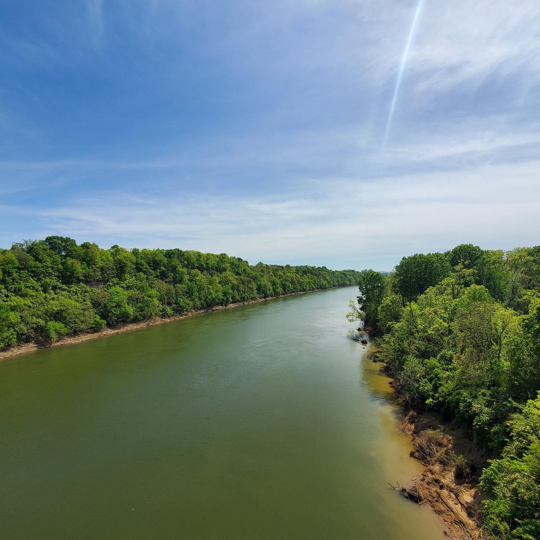
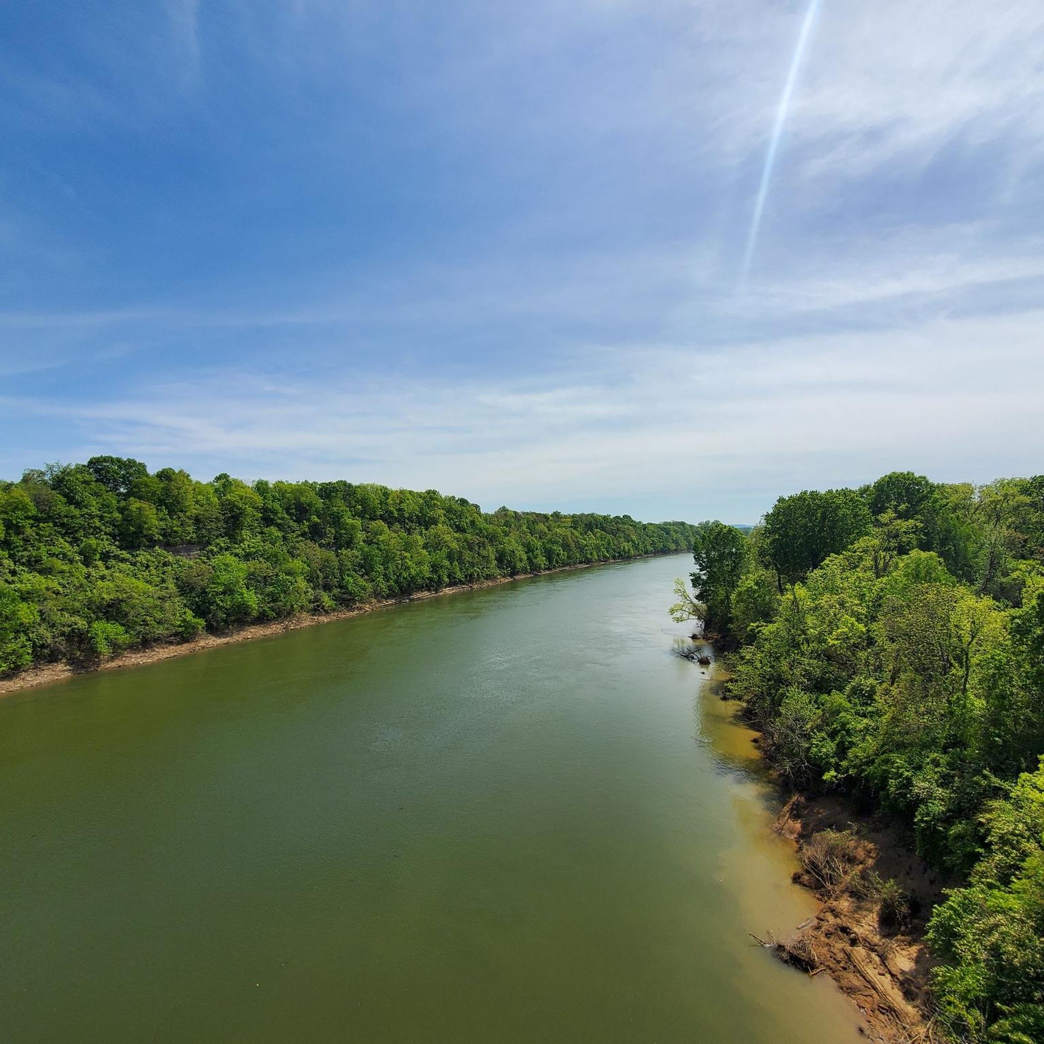
This bridge spans a tributary of the Cumberland River, offering a scenic vantage point on the trail. Its sturdy construction ensures safe passage for visitors while providing a striking visual element to the overall trail experience.
1
0

This is one of many bridges on the Harpeth River Greenway. This one is a little longer than the others and provides open views up and down the Harpeth River. Be careful on the bridges early in the morning and after recent rains because they can get kind of slick.
0
0

This is the full 12 mile loop of the Laurel Woods Trail. For the smaller, 6 mile loop, use the Laurel Woods Shortcut Connector Loop trail. This is a wonderful way to see the hilltop views and low-valley creeks. This loop is filled with great views, steep climbs, and technical downhill descents. Watch your pace, and be friendly to the locals and hikers.
0
0
Hillwood Highschool has closed but the track and field remains in good condition
0
0
Frequently Asked Questions
How many running routes are available in Cheatham County?
Komoot features over 5 dedicated running routes in Cheatham County, catering to various fitness levels and preferences. These routes traverse diverse landscapes, from river valleys to upland forests.
What types of terrain can I expect on running trails in Cheatham County?
Running routes in Cheatham County offer a mix of terrain. You'll find dedicated greenways with both paved and gravel surfaces, such as the Bicentennial Trail Bridge loop. Other trails, like the Laurel Woods Trail Loop, provide more rugged experiences with steep climbs and descents through forests.
Are there running routes suitable for beginners in Cheatham County?
Yes, Cheatham County offers routes suitable for beginners. Many of the greenways provide accessible paths with minimal elevation changes, perfect for an easy jog. For example, the Little Harpeth River Greenway loop is a moderate option that is relatively flat.
What are some more challenging running trails in the area?
For a more challenging run, consider the Laurel Woods Trail Loop loop from Beaman Park. This difficult 12.3-mile route features significant elevation changes with steep climbs and technical descents, offering a true trail running experience and hilltop views.
Are there any loop running trails in Cheatham County?
Yes, many of the popular running routes in Cheatham County are loops, providing a convenient way to explore without retracing your steps. Examples include the Laurel Woods Trail Loop, the Bicentennial Trail Bridge loop, and the Upper Lake – Lake Anna loop.
Can I find running routes with scenic views in Cheatham County?
Absolutely. Cheatham County is known for its natural beauty. Routes along the Cumberland River, such as the Bicentennial Trail Bridge loop, offer picturesque riverside views. Trails like the Laurel Woods Trail Loop provide stunning hilltop vistas and low-valley creeks.
Are the running trails in Cheatham County dog-friendly?
While specific regulations vary by park and trail, many natural areas and greenways in Cheatham County are generally dog-friendly. It's always recommended to check the specific rules for each trail or park beforehand, and always keep your dog on a leash and clean up after them.
Are there family-friendly jogging paths in Cheatham County?
Yes, Cheatham County offers several family-friendly options, particularly along its greenways. These paths, often paved or well-maintained gravel, provide a safe and enjoyable environment for families to jog or walk together. The Little Harpeth River Greenway loop is a good example of a moderate, accessible route.
Where can I find parking for running trails in Cheatham County?
Many popular trailheads and parks in Cheatham County offer designated parking areas. For instance, routes like the Laurel Woods Trail Loop are accessible from Beaman Park, which typically has parking facilities. The Bicentennial Trail Bridge loop in Ashland City also has accessible parking.
What kind of wildlife might I spot while running in Cheatham County?
Cheatham County's diverse natural environment, including the Cheatham Wildlife Management Area and areas around the Harpeth and Cumberland Rivers, means you might encounter various wildlife. Keep an eye out for deer, various bird species, and smaller mammals. Early mornings or late afternoons are often the best times for wildlife spotting.
What's the best time of year to go running in Cheatham County?
Spring and autumn are generally considered the best times for running in Cheatham County. The weather is milder, and the natural scenery is particularly vibrant with spring blooms or fall foliage. Summer can be hot and humid, while winter can bring colder temperatures, but trails are accessible year-round for those prepared for the conditions.
Are there any amenities or places to rest along the running routes?
Some routes, especially those within state parks or developed greenways, may offer amenities like picnic spots, benches, or restrooms. Areas around Cheatham Dam and Lake, for example, provide picnic spots. For specific amenities, it's best to check the details of the individual route or park you plan to visit.
Are there running routes along the Cumberland River?
Yes, the Cumberland River is a prominent feature in Cheatham County, and you can find excellent running routes along its banks. The Bicentennial Trail Bridge loop from Ashland City is a prime example, offering a dedicated path with varied surfaces right along the Cumberland River.
Most popular routes in Cheatham County

Get inspired with the komoot mobile app


Didn’t find what you were looking for?
Check out more Running Trails & Routes throughout Cheatham County below and find the perfect route in your destination.
Explore more
Browse the best Running Trails & Routes in other regions.
