The best walks and hikes around Kalandsvatnet
4.3
(361)
3,353
hikers
129
hikes
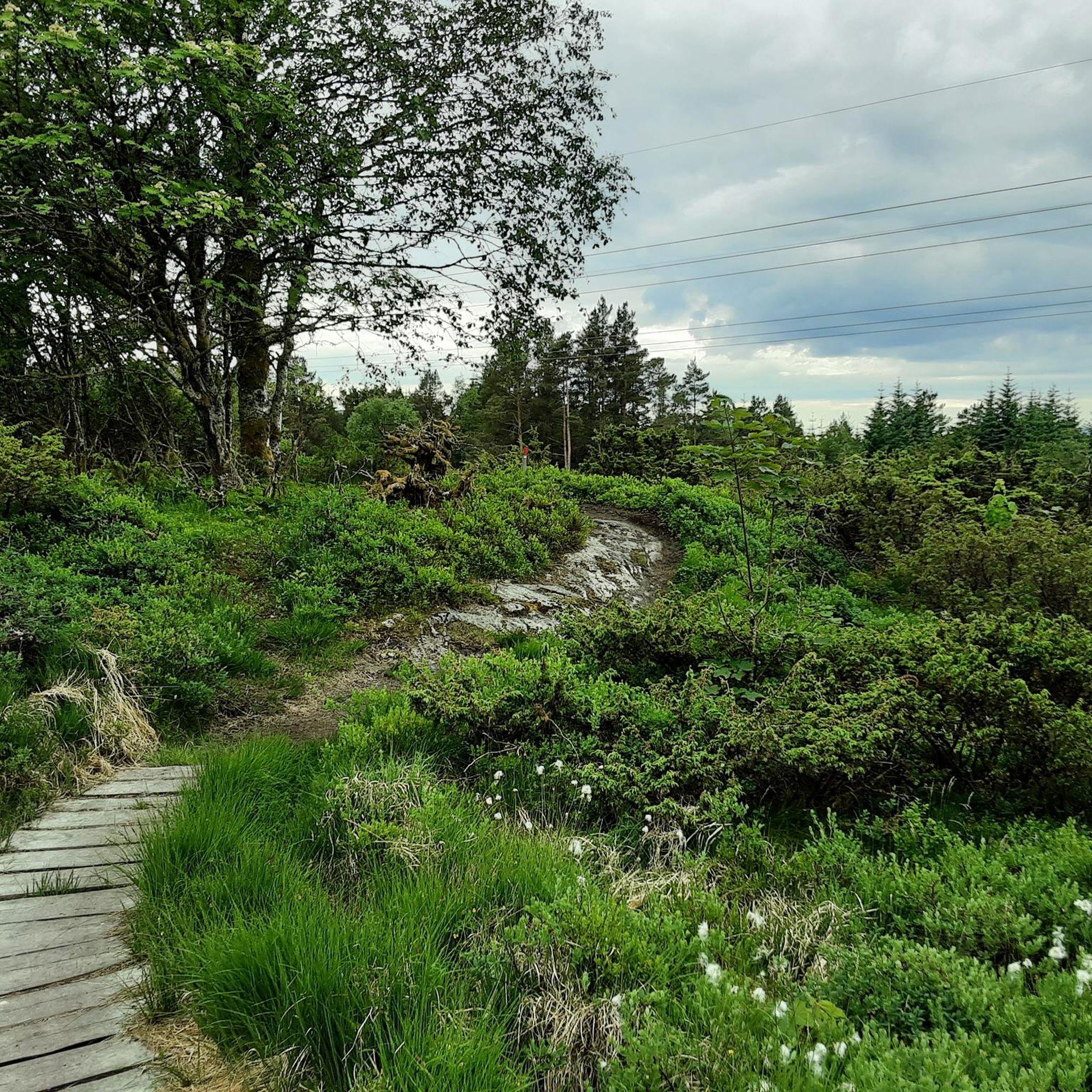
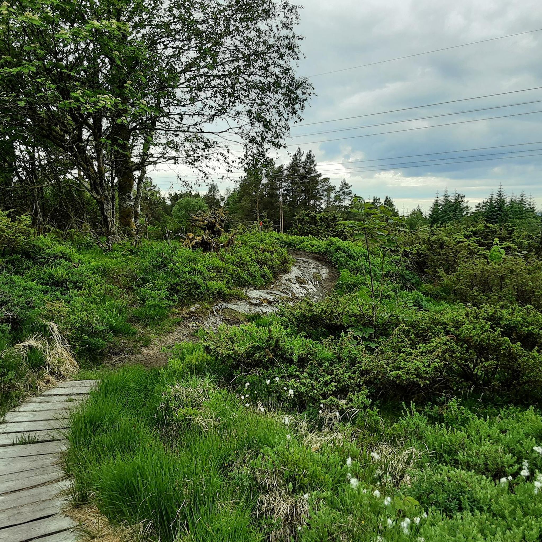
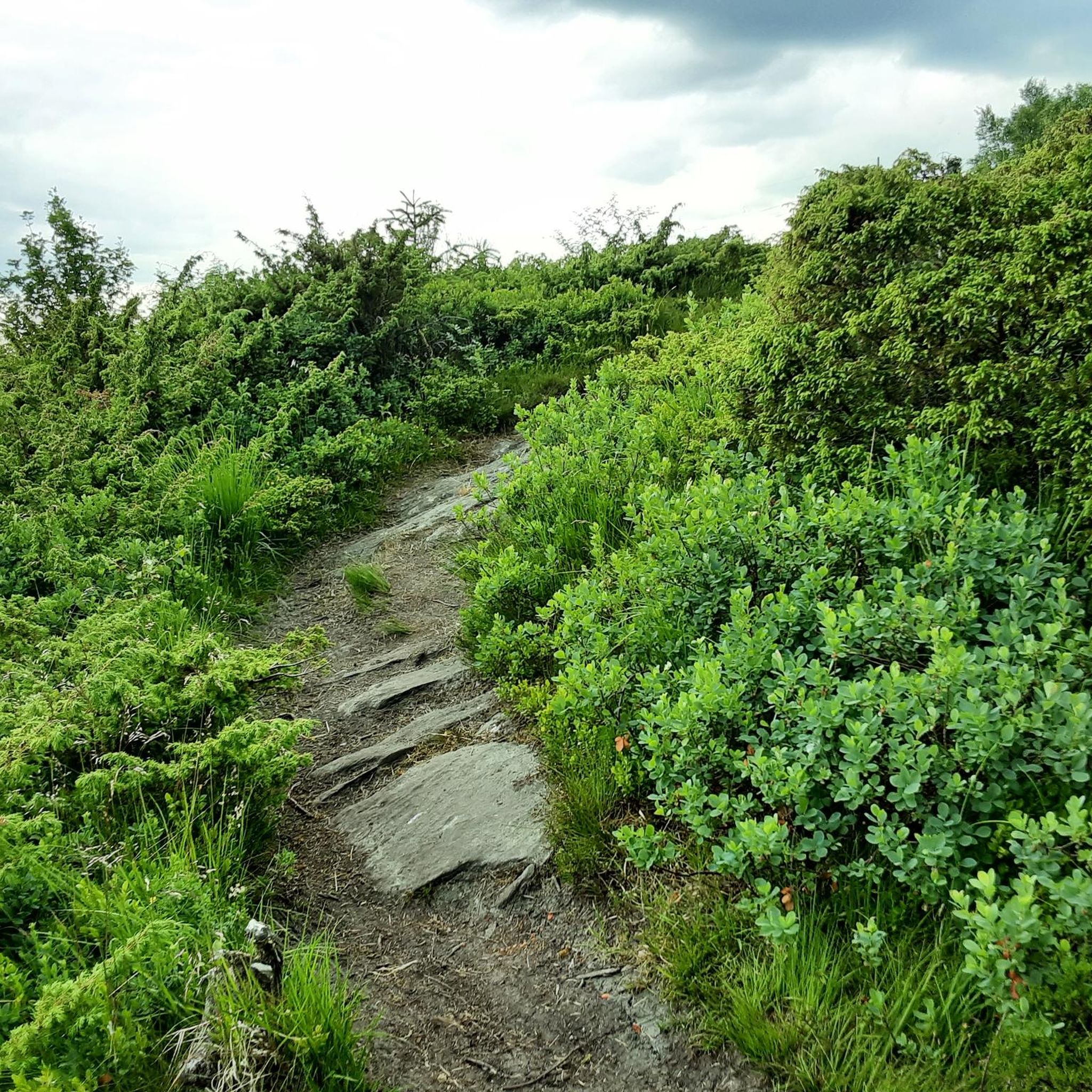
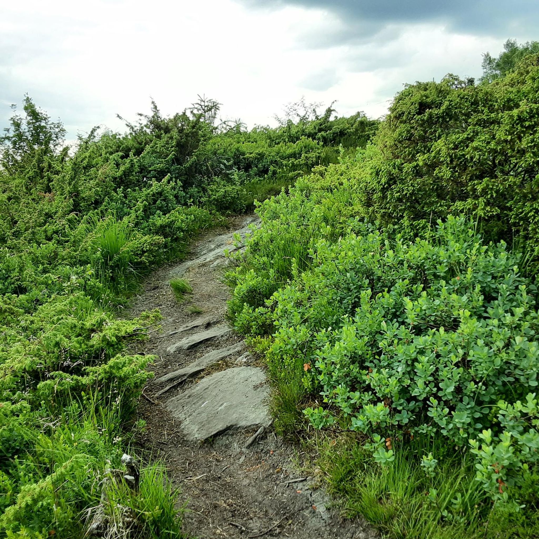
Hiking around Kalandsvatnet offers diverse terrain in Bergen Municipality, Norway, centered around its largest lake. The region is characterized by rugged mountain paths and serene forest walks, typical of the broader Vestland county. Hikers can expect varied landscapes, including hills and natural features shaped by glacial erosion. The area provides a network of trails suitable for different skill levels.
Best hiking trails around Kalandsvatnet
- The most popular hiking route is Kjerringaskaret – Solbakkafjellet loop from Kaland, a 5.7 miles (9.1 km) trail that takes 2 hours 50 minutes to complete, offering varied terrain and elevation.
- Another top favourite among local hikers is Ljosvollsvarden loop from Vallaheiane, an easy 3.0 miles (4.8 km) path. This route provides accessible forest paths and views.
- Local hikers also love the Troll Hut and Owl Sculpture – Picnic Area at Bjørnevatnet loop from Vallaheiane, a 4.5 miles (7.3 km) trail leading through woodlands and past unique features, often completed in about 2 hours 5 minutes.
- Hiking around Kalandsvatnet is defined by rugged mountain paths, serene forest walks, and diverse landscapes. The network offers options for easy strolls to more challenging routes, catering to different ability levels.
- The routes in Kalandsvatnet are highly rated by the komoot community with an average score of 4.4 stars from over 300 reviews. More than 3000 hikers have used komoot to explore Kalandsvatnet's varied terrain.
Last updated: August 20, 2026
4.5
(2)
21
hikers
9.12km
02:53
370m
370m
Moderate hike. Good fitness required. Easily-accessible paths. Suitable for all skill levels.
3
hikers
4.83km
01:31
170m
170m
Easy hike. Great for any fitness level. Easily-accessible paths. Suitable for all skill levels.

Sign up for free
3.0
(1)
2
hikers
7.46km
02:10
180m
180m
Moderate hike. Good fitness required. Easily-accessible paths. Suitable for all skill levels.
4.8
(4)
35
hikers
4.58km
01:20
120m
120m
Hike an easy 2.8-mile route on Fanafjellet from the Horda Museum, gaining 409 feet with forest views and cultural insights.
1
hikers
4.12km
01:10
100m
90m
Easy hike. Great for any fitness level. Easily-accessible paths. Suitable for all skill levels.
Get access to more routes and recommendations from other explorers.
Sign up for free
Already have an account?
Our route recommendations are based on thousands of hikes, rides, and runs completed by other people on komoot.
Start today with a free account
Your next adventure awaits.
Login or Signup
Tips from the Community

Søre Sædalen's bus stop is a good launch base for some pretty hikes in the region, such as Lyseskarfjellet to the west. The road here is part of Norway's National Cycle Route 1, also known as the Coastal Route.
0
0
The little lake of Nordvikvatnet is a fine sight for Fanafjellsvegen through Sædalen. There are trails on both its western and eastern shore. The eastern trails link to Storakvitefjellet and Geithaugen above Ulvvatnet.
0
0

The trail to the summit and viewpoint is a challenging one, with some steps and ladders, but the views are definitely worth it!
0
0
This modest peak (300 m) is reachable by hiking path, close to parking and bus stops. Enjoy the views of the rugged landscape from here!
0
0

Up the hill of Kirkebirkeland neighborhood, you can enjoy a nice view of Bergen.
1
0

Nice green places around Bjørnevatnet. There's a fire place and even wood to prepare the fire.
0
0
Frequently Asked Questions
How many hiking trails are available around Kalandsvatnet?
There are over 125 hiking trails around Kalandsvatnet, offering a wide variety of options for different skill levels. This includes 50 easy routes, 59 moderate routes, and 16 more challenging trails.
What kind of terrain can I expect on the hikes around Kalandsvatnet?
The terrain around Kalandsvatnet is diverse, featuring rugged mountain paths and serene forest walks. You can expect varied landscapes shaped by glacial erosion. Some areas may be wet, rocky, and slippery, so appropriate footwear is recommended.
Are there easy hikes suitable for beginners or families?
Yes, there are plenty of easy hikes. For example, the Ljosvollsvarden loop from Vallaheiane is an easy 3.0-mile (4.8 km) path that offers accessible forest paths and views. Another good option is the Myrdalsvatnet loop from Elvenes, which is 4.2 km and also considered easy.
What should I wear or bring for hiking in Kalandsvatnet?
Due to potentially wet, rocky, and slippery terrain, it's advisable to wear water-resistant hiking boots with good ankle support. Layered clothing is also highly recommended because weather conditions in the area can change quickly. Starting your hike in the morning can help maximize daylight and avoid afternoon fog or showers.
Are there any circular routes around Kalandsvatnet?
Yes, many routes are designed as loops. Popular circular options include the moderate Kjerringaskaret – Solbakkafjellet loop from Kaland, which is 9.1 km, and the Troll Hut and Owl Sculpture – Picnic Area at Bjørnevatnet loop from Vallaheiane, a 7.3 km moderate trail.
What do other hikers enjoy most about the trails in Kalandsvatnet?
The area is highly rated by the komoot community, with an average score of 4.4 stars from over 300 reviews. Hikers often praise the diverse landscapes, from rugged mountain paths to serene forest walks, and the variety of trails catering to different ability levels.
Are there any unique natural features or landmarks to see?
While the region is known for its dramatic natural beauty, including fjords, mountains, and cascading waterfalls in the broader Vestland county, Kalandsvatnet itself has a notable geological history as one of the first lakes to form after the last ice age. On trails like the Troll Hut and Owl Sculpture – Picnic Area at Bjørnevatnet loop from Vallaheiane, you can find unique features like the Troll Hut and an Owl Sculpture.
Is Kalandsvatnet suitable for dog-friendly hikes?
Generally, Norway is very dog-friendly, and many trails around Kalandsvatnet are suitable for hiking with dogs. However, it's always best to keep your dog on a leash, especially in areas with livestock or wildlife, and to check local regulations for specific trails.
What is the best time of year to hike around Kalandsvatnet?
The region experiences quickly changing weather conditions, so spring to early autumn generally offers the most favorable hiking weather. However, the diverse landscape can be enjoyed year-round, with proper preparation for winter conditions if hiking outside of the warmer months.
Are there challenging hikes for experienced hikers?
Yes, for those seeking more challenge, there are 16 difficult routes available around Kalandsvatnet. These trails typically involve greater elevation gains and more rugged terrain, offering a rewarding experience for experienced hikers.
Is public transport available to reach hiking areas around Kalandsvatnet?
While specific routes vary, Bergen has a public transport network that can connect you to areas near Kalandsvatnet. It's advisable to check local bus schedules and routes from Bergen to the specific trailheads you plan to visit.
Are there parking facilities near the trailheads?
Parking availability can vary by trailhead. Many popular starting points for hikes around Kalandsvatnet will have designated parking areas, though some smaller or more remote trails might require roadside parking. It's recommended to research specific trailheads for parking information before your visit.
Most popular routes around Kalandsvatnet

Get inspired with the komoot mobile app


Explore more
Browse the best Hikes in other regions.
