The best running trails in Wood County
5.0
(1)
308
runners
42
runs
Jogging routes in Wood County offer diverse landscapes and extensive trail systems, providing a refreshing environment for runners. The region is characterized by numerous parks, such as Side Cut Metropark and Farnsworth Metropark, and scenic waterways like the Maumee River. Many trails feature accessible paths with minimal elevation gain, making them suitable for various fitness levels. These natural features contribute to a varied and engaging running experience across the county.
Best jogging routes in Wood County
- The most popular jogging…
Last updated: June 28, 2026
16
runners
12.7km
01:23
30m
30m
Moderate run. Good fitness required. Mostly paved surfaces. Suitable for all skill levels.
13
runners
Moderate run. Good fitness required. Mostly paved surfaces. Suitable for all skill levels.

Sign up for free
10
runners
11.3km
01:11
30m
30m
Moderate run. Good fitness required. Mostly paved surfaces. Suitable for all skill levels.
16
runners
27.7km
02:57
70m
70m
Hard run. Very good fitness required. Mostly paved surfaces. Suitable for all skill levels.
6
runners
23.7km
02:26
70m
70m
Hard run. Very good fitness required. Mostly paved surfaces. Suitable for all skill levels.
3
runners
5.55km
00:34
10m
10m
Moderate run. Good fitness required. Mostly paved surfaces. Suitable for all skill levels.
5
runners
4.96km
00:32
10m
10m
Easy run. Great for any fitness level. Mostly paved surfaces. Suitable for all skill levels.
7
runners
10.0km
01:03
30m
30m
Moderate run. Good fitness required. Mostly paved surfaces. Suitable for all skill levels.
Get access to more routes and recommendations from other explorers.
Sign up for free
Already have an account?
Our route recommendations are based on thousands of hikes, rides, and runs completed by other people on komoot.
Start today with a free account
Your next adventure awaits.
Login or Signup






Tips from the Community

Waterville is a small town on the banks of the Maumee River. The Buckeye Trail runs directly through it before crossing over the river and continuing to the east. There are lots of good resupply options and restaurants here, making it a great town to spend some time in for a break in a thru-hike.
0
0

The Maumee River starts at the confluence of the St. Joseph and St. Mary's rivers in Fort Wayne, Indiana, and empties into Maumee Bay at Lake Erie, covering over 6,500 square miles. It is the largest drainage basin in the Great Lakes Watershed and was named an Ohio State Scenic River on July 18, 1974. During springtime, the largest migrations of river-bound walleyes east of the Mississippi make their way up the river, attracting thousands of anglers from all over the country.
0
0

Monclova is a small town on the outskirts of Toledo, Ohio. It is home to the Fallen Timbers Battlefield Metropark, and is the meeting point of the north and south forks of the Wabash Cannonball Trail.
0
0
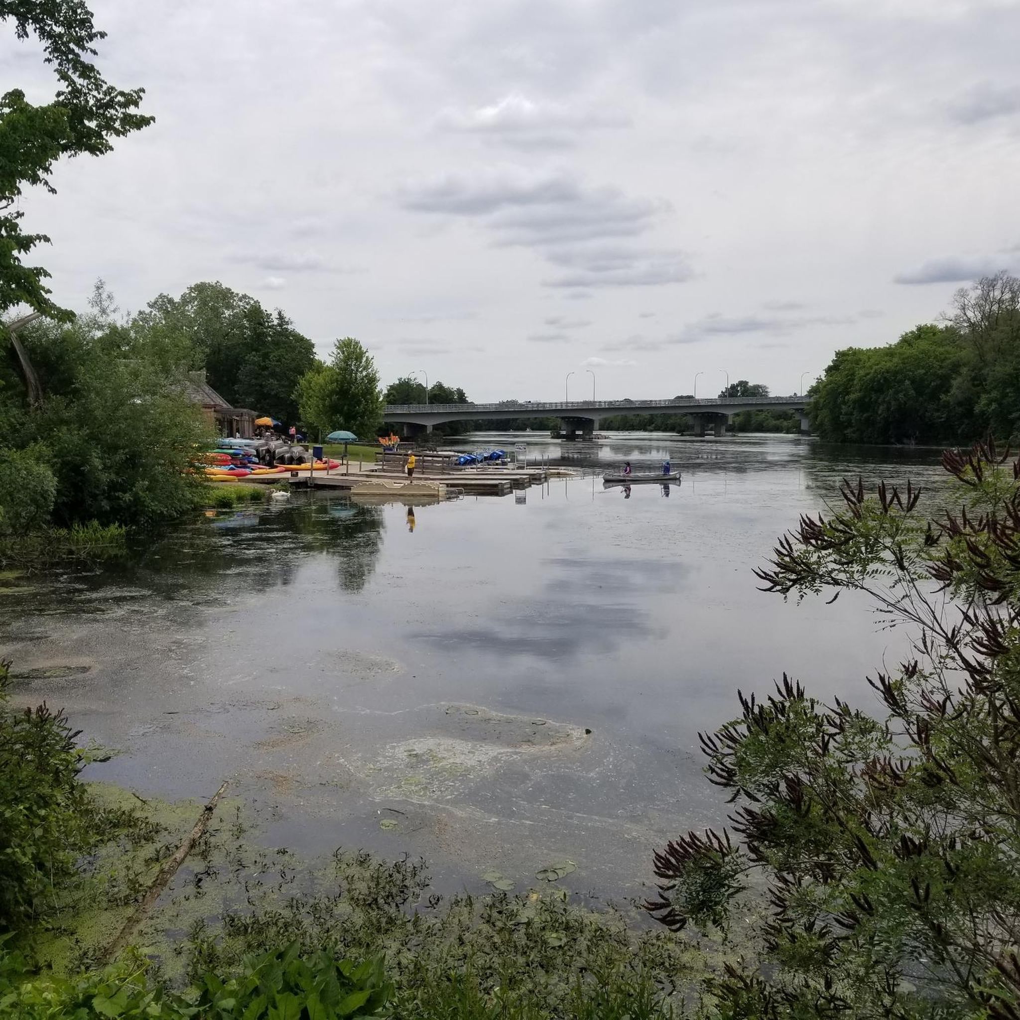
This view of a 90-degree bend in the Maumee River is one of the most scenic spots in Lucas County. Nestled between Farnsworth Park and Providence Park, this location is worth the hike from either direction.
1
0
This narrow park along the Maumee River overlooks the Missionary, Butler, and Indian islands. There is plenty of parking, restrooms, a playground, and several benches along the pathway. Here, you get a fantastic view of the ruins of the Interurban Bridge which crosses the river. It's a favored subject of painters and photographers, and worthy of taking some photos for yourself.
0
0
The Towpath Trail is a paved multi-use path from South River Road near Missionary Island to Providence Metropark. The views of the Maumee River are beautiful, with several picnic areas, parks, restrooms, and water fountains along the path, for plenty of options for a short or extended hike.
0
0
The Maumee River starts at the confluence of the St. Joseph and St. Mary's rivers in Fort Wayne, Indiana, and empties into Maumee Bay at Lake Erie, covering over 6,500 square miles. It is the largest drainage basin in the Great Lakes Watershed and was named an Ohio State Scenic River on July 18, 1974. During springtime, the largest migrations of river-bound walleyes east of the Mississippi make their way up the river, attracting thousands of anglers from all over the country.
0
0
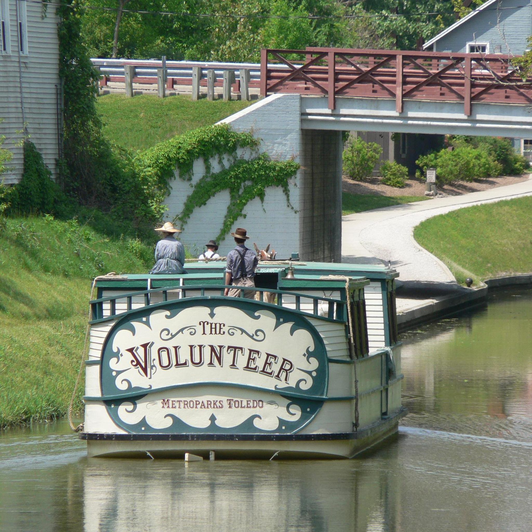
Side Cut Metropark, situated along the Maumee River, is one of a series of the city's riverfront parks, and a long-time local favorite destination. Several multi-use trails run along the river, canal locks, and through a pine plantation, offering several options for a short or extended hike to explore, including restrooms, picnic tables, and a playground close to the parking area. It's a fantastic place for birdwatching, and you'll likely see plenty of deer while you explore this beautiful park.
0
0
Frequently Asked Questions
How many running routes are available in Wood County?
Wood County offers a wide array of options for runners, with over 40 routes available. These routes cater to various fitness levels, from easy loops to more challenging long-distance runs, ensuring a diverse and engaging experience for everyone.
Are there easy or beginner-friendly running trails in Wood County?
Yes, Wood County has several easy and beginner-friendly running trails. There are 7 routes specifically categorized as easy, often featuring accessible paths and minimal elevation gain. A great option is the St. John's Nature Preserve loop from Bowling Green, which is just over 3 miles long and offers a pleasant, gentle run.
Can I find long-distance running routes in Wood County?
Absolutely. For those looking for a longer run, Wood County provides several routes that stretch over considerable distances. For example, the Maumee River – Side Cut Metropark loop from Perrysburg covers over 15 miles, offering a challenging yet rewarding experience. Another excellent choice is the Farnsworth Metropark – Towpath Trail loop from Waterville, which is nearly 15 miles long.
Are there any circular running routes in Wood County?
Many of the running routes in Wood County are designed as loops, providing convenient circular paths for runners. Examples include the popular Side Cut Metropark – Maumee River loop from Maumee, which is 8.2 miles, and the Maumee River – Side Cut Metropark loop from Maumee, a moderate 5.2-mile option. These loops allow you to start and finish at the same point, often offering varied scenery along the way.
What kind of scenery can I expect on jogging routes in Wood County?
Wood County's jogging routes boast diverse and picturesque scenery. You can expect views of the Maumee River, especially along trails like the View of the Maumee River Bend – Towpath Trail loop from Missionary Island State Wildlife Area. Many routes pass through extensive park systems such as Side Cut Metropark and Farnsworth Metropark, offering a mix of natural landscapes, forests, and open fields. Parks like South Wood County Park feature beautiful lake views around Lake Wazeecha, while North Wood County Park offers unique scenery with its pedestrian 'swinging bridge' over the Yellow River.
Are there any running trails suitable for families in Wood County?
Yes, Wood County offers several trails that are suitable for families. Many of the multi-use trails within the county's diverse park systems are described as easy to moderate with minimal elevation gain, making them accessible for various ages and fitness levels. Parks like North Wood County Park and South Wood County Park, with their well-maintained paths and amenities, are excellent choices for a family outing.
Are Wood County's running trails dog-friendly?
Many of Wood County's extensive multi-use trails and park systems are dog-friendly, allowing leashed dogs to accompany runners. It's always a good idea to check specific park regulations before heading out, but generally, the natural settings and open spaces provide a great environment for you and your canine companion to enjoy a run together.
Are there paved running paths in Wood County?
Yes, Wood County features paved running paths, particularly within its diverse park systems. For instance, South Wood County Park, centered around Lake Wazeecha, offers a four-mile paved trail that is perfect for running, walking, or biking, providing smooth surfaces and beautiful lake views.
What are some notable parks or natural areas for running in Wood County?
Wood County is rich in parks and natural areas ideal for running. Key locations include Side Cut Metropark and Farnsworth Metropark, both offering scenic river views and well-maintained trails. Other significant parks include North Wood County Park with its unique swinging bridge, South Wood County Park featuring a paved trail around Lake Wazeecha, and Dexter County Park, the largest park with extensive wild lands and trails around Lake Dexter. Powers Bluff County Park also offers multi-use trails and is known for being the highest point in the county.
Are there historical sites or unique landmarks along any running routes?
Yes, some running routes in Wood County offer a glimpse into the region's history and unique features. The Towpath Trail, for example, often passes by historical sites such as Fort Meigs, adding a cultural dimension to your run. North Wood County Park features a distinctive 225-foot pedestrian 'swinging bridge' over the Yellow River, providing a memorable landmark during your jog. The landscape itself, with remnants from the last Ice Age and areas that were once part of the Great Black Swamp, tells a geological story.
How can I access running trails in Wood County, regarding parking or public transport?
Access to running trails in Wood County is generally convenient, with many parks and trailheads offering dedicated parking facilities. For instance, routes originating from Maumee or Perrysburg often have accessible parking near the metroparks. While public transport options may vary by specific location, the extensive network of parks and trails typically provides ample parking for visitors arriving by car.
What do other runners say about the jogging experience in Wood County?
The running experience in Wood County is highly regarded by the komoot community, with an impressive average score of 5.0 stars from over 1 review. Runners frequently praise the diverse landscapes, the refreshing environment provided by the extensive trail systems, and the scenic views along the Maumee River and through the various metroparks. The variety of routes, catering to different ability levels, is also a common highlight.
Are there options for winter running in Wood County?
While specific winter running conditions can vary, Wood County's extensive multi-use trails and park systems often remain accessible for winter activities, including running. Many trails are well-maintained, and the natural beauty of the forests and frozen waterways can offer a unique and serene running experience during the colder months. It's advisable to check local park conditions for any specific closures or recommendations during winter.

Get inspired with the komoot mobile app


Didn’t find what you were looking for?
Check out more Running Trails & Routes throughout Wood County below and find the perfect route in your destination.
Explore more
Browse the best Running Trails & Routes in other regions.
