The best road cycling routes around Limavatnet
5.0
(1)
200
riders
16
rides
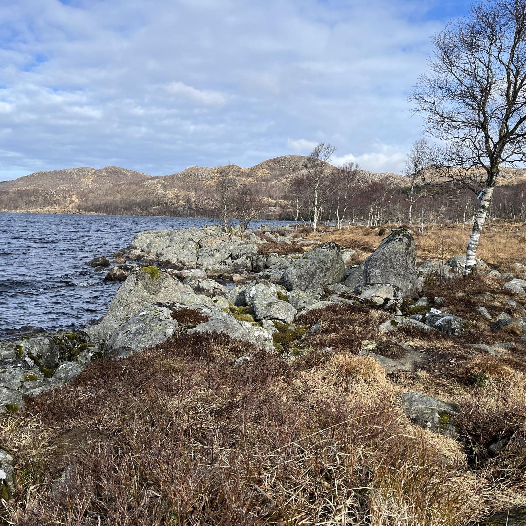
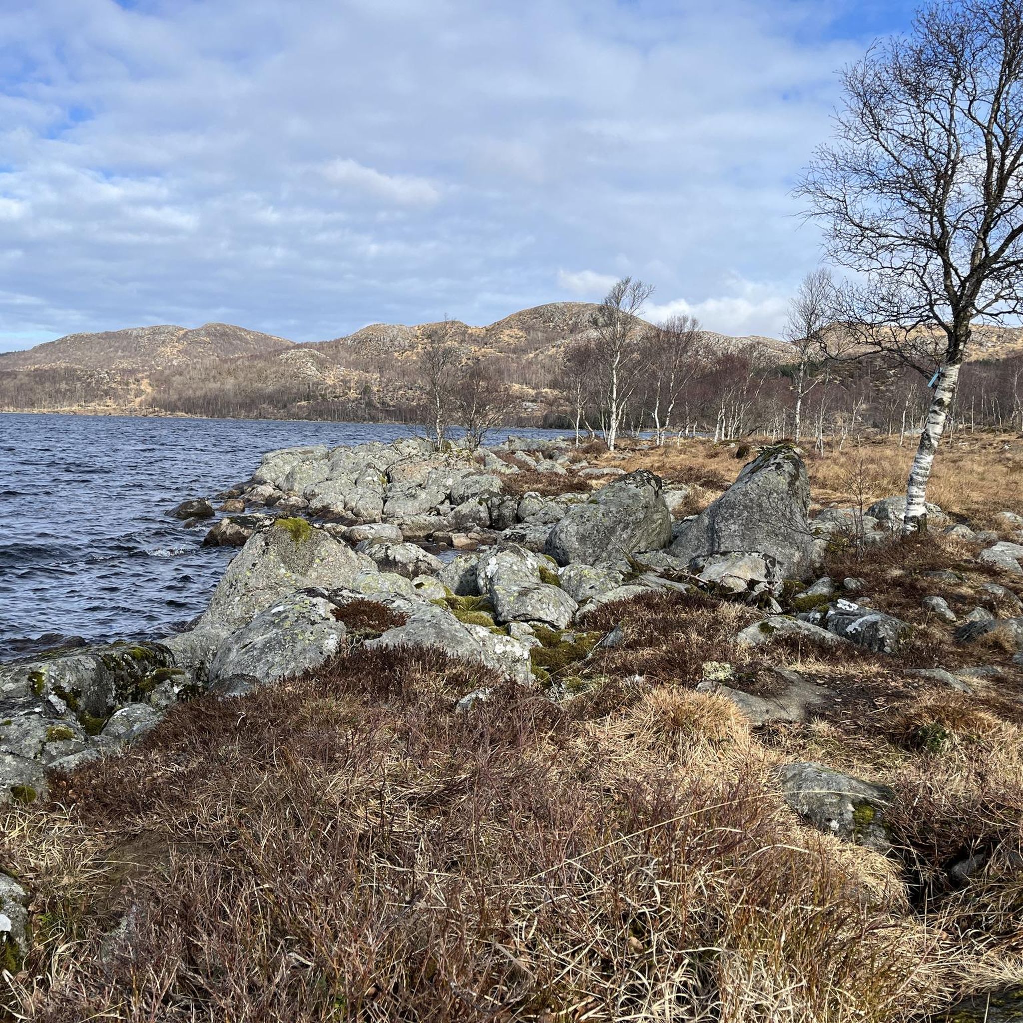
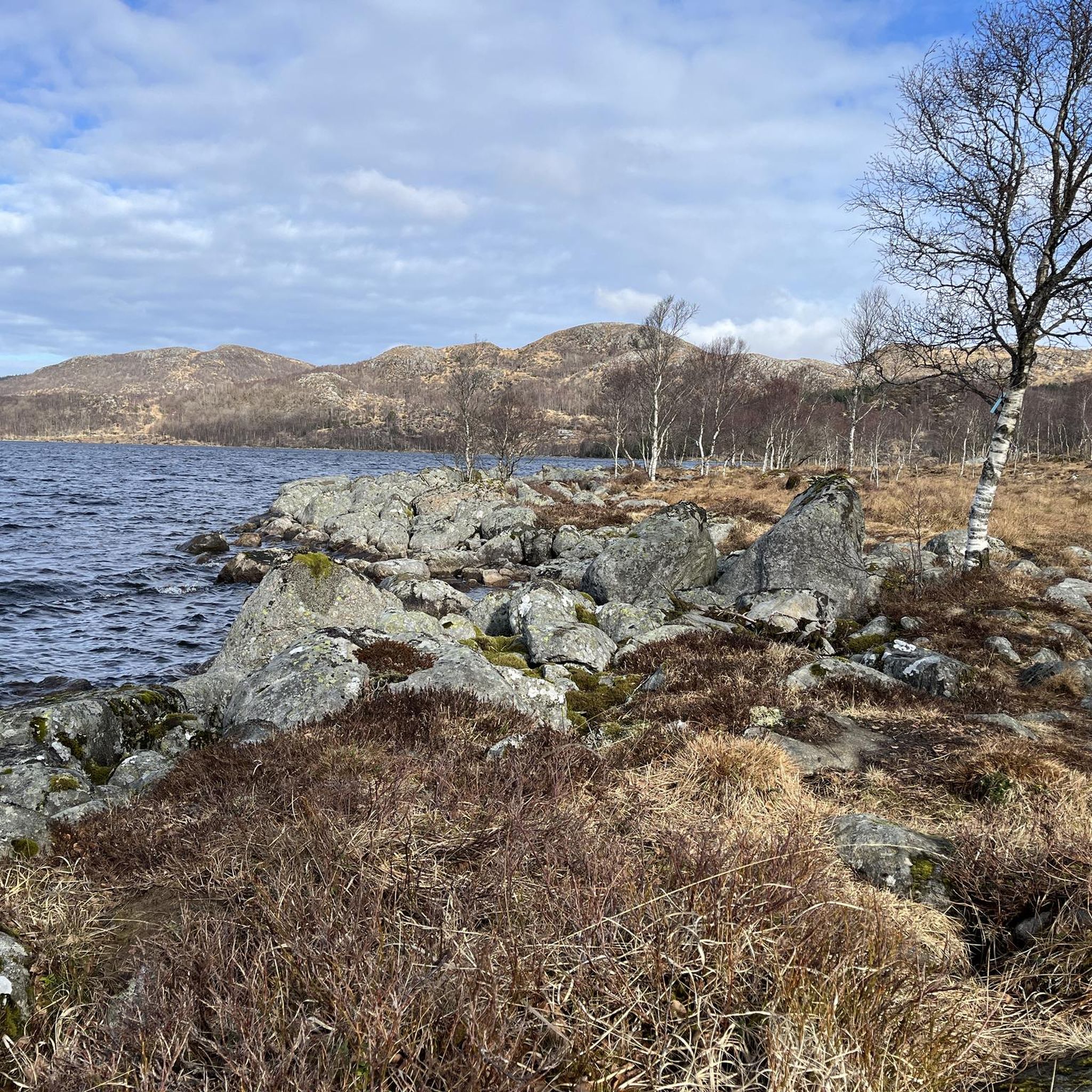
Road cycling routes around Limavatnet traverse a landscape characterized by a 6.2-mile (10 km) long lake, surrounded by towering mountains, lush forests, and steep hillsides. The region features well-maintained county roads, such as County Road 45 along the north side and County Road 286 on the south, providing accessible paths for cyclists. These routes offer diverse terrain, from lakeside stretches to areas with coniferous trees and rocky outcrops. The geographical setting includes natural barriers against harsh winds, contributing to varied…
Last updated: June 29, 2026
18
riders
35.3km
01:52
350m
350m
Moderate road ride. Good fitness required. Some segments of this route may be unpaved and difficult to ride.
10
riders
48.0km
02:16
480m
480m
Moderate road ride. Good fitness required. Some segments of this route may be unpaved and difficult to ride.

Sign up for free
7
riders
55.9km
02:35
640m
640m
Moderate road ride. Good fitness required. Mostly well-paved surfaces and easy to ride.
6
riders
80.3km
03:50
760m
760m
Moderate road ride. Good fitness required. Some segments of this route may be unpaved and difficult to ride.
4
riders
56.3km
02:30
490m
490m
Moderate road ride. Good fitness required. Mostly well-paved surfaces and easy to ride.
Get access to more routes and recommendations from other explorers.
Sign up for free
Already have an account?
Our route recommendations are based on thousands of hikes, rides, and runs completed by other people on komoot.
Start today with a free account
Your next adventure awaits.
Login or Signup
Popular around Limavatnet
Tips from the Community

From the bridges spanning the Figgjo River, you often have a beautiful view of the interesting river landscape. Carpets of water lilies, green reeds and many other aquatic plants provide plenty of variety.
0
0

Stokkelandsvatnet is a lake located in Ganddal, Sandnes. The loop the water shore is about 4 kilometers long on a flat, well-maintained gravel path, making it perfect for walking, running, or cycling. The area is known for its rich birdlife, often visible from the trail. It connects seamlessly to the end of Sandvedparken, allowing you to extend your route from the city center.
0
0
Planetstien turns your hike through Sandvedparken into a journey through the solar system. Stretching along the Storåna river, this 1:1 billion scale model starts with the Sun near Sandnes center and ends with Pluto towards Ganddal. It is a flat, easy gravel path suitable for cycling and walking. As you travel the green corridor, you pass sculptures representing each planet at their relative distances.
0
0

Ålgård is the largest town and administrative centre of Gjesdal municipality. Historically known for its wool and textile industry driven by the Figgjo River, it has evolved into a modern center that was once awarded Norway's prestigious National Prize for Architecture. Today, Ålgård is perhaps best known as the home of Kongeparken, the largest amusement park in Western Norway.
0
0
Here you will find a bench overlooking the river, ideal for a rest stop. At the edge of the terrace, you can see the fast-flowing waters of the Figgjo River, while all around, the trees are painted in the typical colors of the season; the paved path is comfortable for walking.
0
0

A busy little harbour with a few good coffee stop options nearby. A great place to start or end a ride around Sandnes.
0
0
A nice place to stop for a rest or a swim if the weather is nice. There is plenty of wildlife to spot and some refreshment options in the nearby town.
0
0

Nicely arranged with seating and restaurants in the area. Close to train station. Car free.
0
0
Frequently Asked Questions
What kind of terrain can I expect on road cycling routes around Limavatnet?
The Limavatnet region offers diverse terrain for road cyclists. You'll find well-maintained county roads, such as County Road 45 along the north side and County Road 286 on the south. These routes traverse a landscape characterized by a picturesque lake, towering mountains, lush forests, steep hillsides adorned with coniferous trees, and rocky outcrops. The area's geographical setting also provides natural barriers against harsh winds, contributing to varied cycling conditions.
Are there road cycling routes suitable for beginners or those looking for an easier ride?
Yes, Limavatnet caters to various experience levels. While many routes offer moderate challenges, there are 3 easy road cycling routes available. The diverse terrain ensures options for both leisurely rides and more demanding ascents.
What are some scenic viewpoints or landmarks to look out for while cycling around Limavatnet?
The area around Limavatnet is rich in natural beauty. You'll encounter stunning views of the 10-kilometer-long lake itself, surrounded by mountains and forests. Keep an eye out for picturesque stretches with coniferous trees and rocky outcrops. A notable cultural landmark is Limagarden, a local museum featuring a farm complex, which offers a glimpse into the region's history amidst the natural scenery.
Are there any circular road cycling routes around Limavatnet?
Yes, many of the road cycling routes around Limavatnet are designed as loops, allowing you to start and finish in the same location. For example, the Lauvveien 2, Ålgård loop from Fiskebekk is a popular circular route that takes you through the local area.
What is the best time of year for road cycling in Limavatnet?
The warmer months are generally ideal for road cycling around Limavatnet, offering pleasant conditions to enjoy the crystal-clear waters of the lake and the surrounding lush landscapes. The natural barriers against harsh winds can make for a more comfortable ride during these times.
Where can I find parking for road cycling routes near Limavatnet?
Parking options are available in the villages surrounding Limavatnet, such as Ålgård and Gjesdal, which serve as common starting points for many routes. For specific routes, you can often find parking near the designated starting points, like Fiskebekk for the Lauvveien 2, Ålgård loop.
Are there cafes or places to stop for refreshments along the road cycling routes?
While the routes themselves traverse natural landscapes, the nearby villages of Ålgård and Gjesdal offer various amenities, including cafes, pubs, and accommodation options where you can refuel and relax before or after your ride.
How long does it typically take to complete a road cycling route around Limavatnet?
The duration varies depending on the route's length and your pace. For instance, the Lauvveien 2, Ålgård loop from Fiskebekk, which is 33.7 km, typically takes around 1 hour and 47 minutes. Longer routes, like the View of the Figgjo River – Mærliskaret loop from Ålgård (55.7 km), can take about 2 hours and 35 minutes.
What do other road cyclists say about the routes in Limavatnet?
The road cycling routes in Limavatnet are highly regarded by the komoot community, holding an average rating of 5.0 stars. Over 200 road cyclists have explored the varied terrain, often praising the picturesque lake views, surrounding mountains, and the well-maintained county roads that make for an enjoyable cycling experience.
Are there any challenging road cycling routes for experienced riders?
Yes, for experienced riders seeking a challenge, Limavatnet offers routes with significant elevation gain. There is at least one difficult-grade route, and several moderate routes, such as the View of Stavanger – Solastranden Beach loop from Ålgård, which features over 800 meters of elevation gain over 83.3 km.
Can I reach the Limavatnet cycling trails using public transport?
The villages of Ålgård and Gjesdal, which are key access points for the Limavatnet area, are connected by public transport. You can plan your journey to these villages and then access the various road cycling routes from there.
What is the longest road cycling route available in the Limavatnet area?
Among the available routes, the View of Stavanger – Solastranden Beach loop from Ålgård stands out as one of the longest, covering 83.3 kilometers. This route offers extensive riding and significant elevation changes.

Get inspired with the komoot mobile app


Explore more
Browse the best Road cycling routes in other regions.
