The best road cycling routes in Chattooga County
68
riders
6
rides
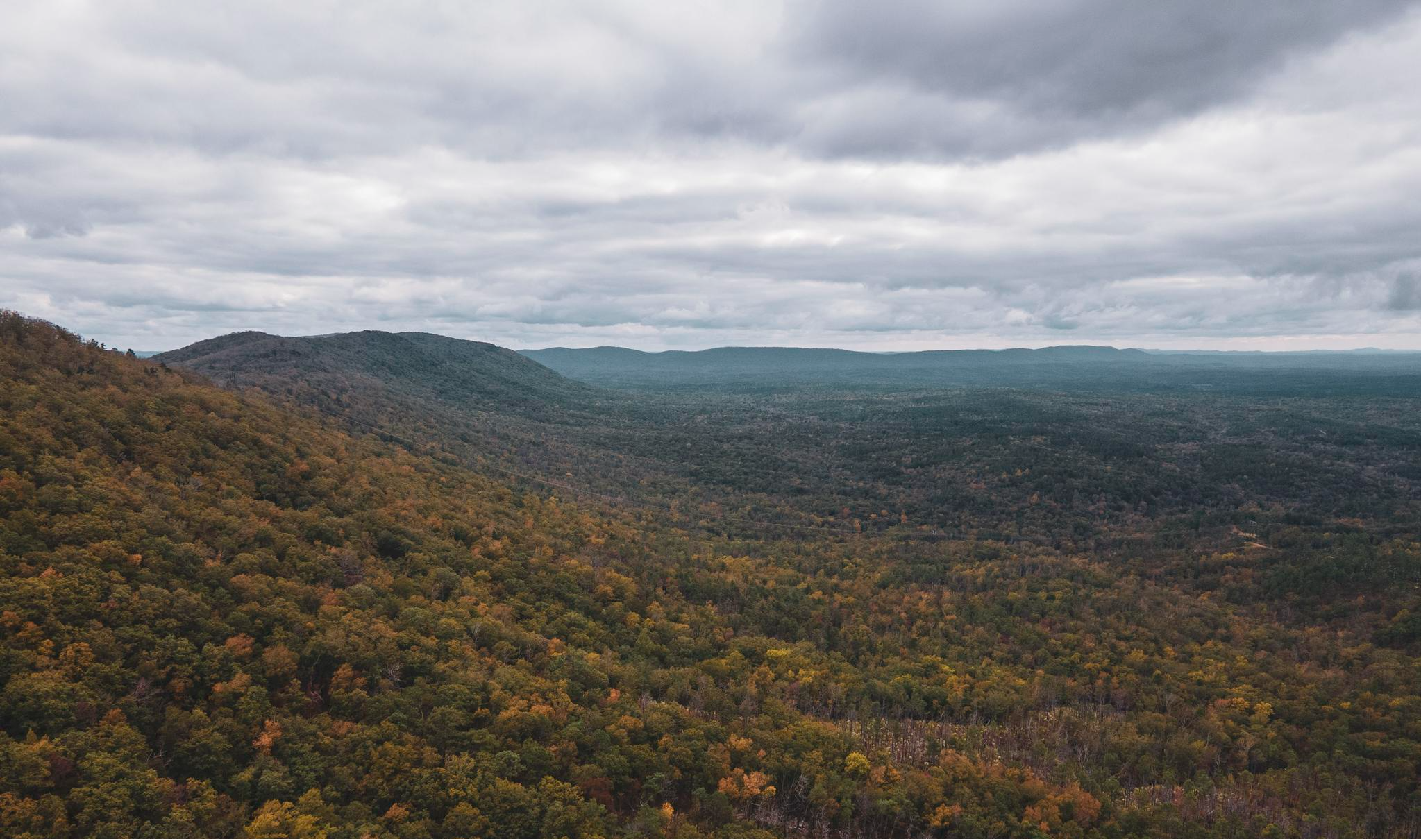
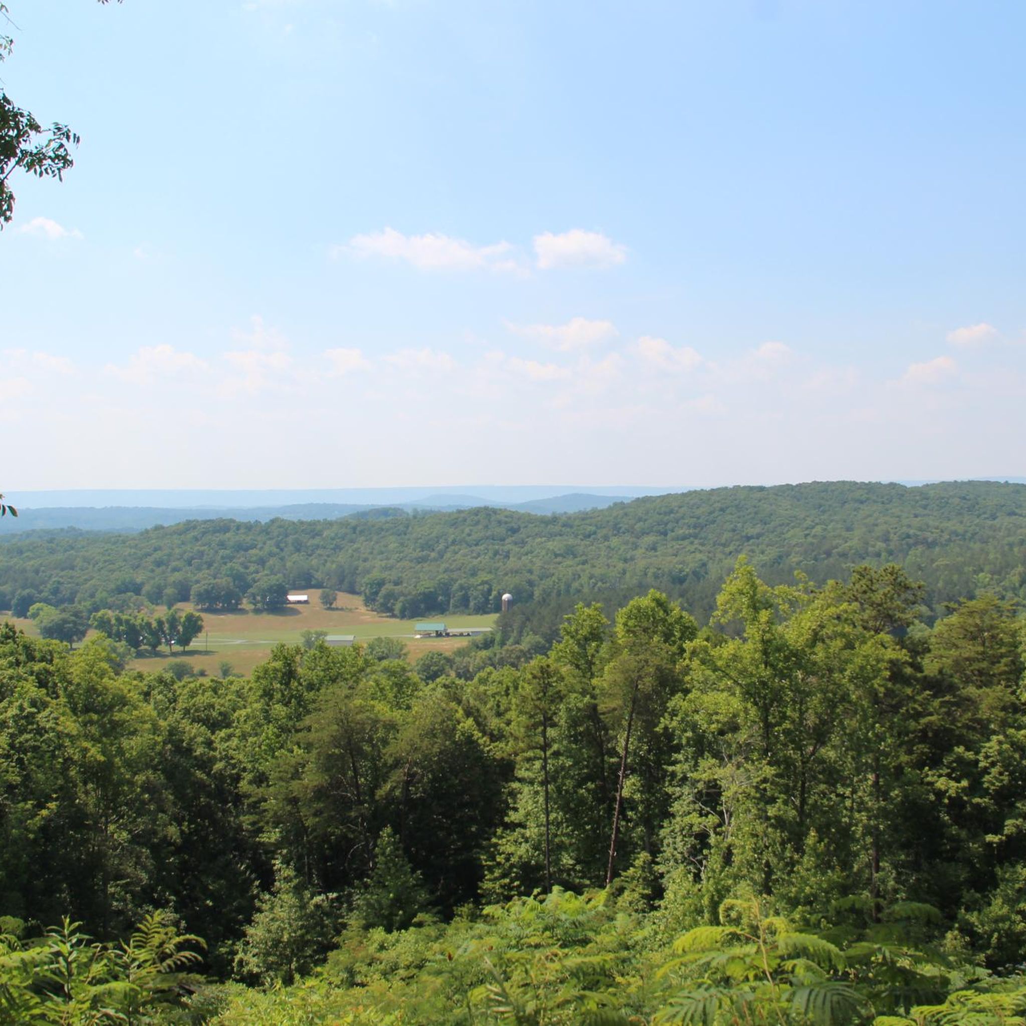
Road cycling in Chattooga County, Georgia, offers diverse landscapes characterized by rolling hills and rural roads. The region features a mix of well-paved surfaces and varied terrain suitable for different fitness levels. Cyclists can experience pastoral landscapes with working farms and explore numerous green spaces and parks. The county's geography provides routes with significant elevation gains, alongside easier options.
Best road cycling routes in Chattooga County
- The most popular road cycling route is East Armuchee Road loop from Fairfield Inn…
Last updated: June 29, 2026
12
riders
177km
08:10
1,260m
1,260m
Hard road ride. Very good fitness required. Some segments of this route may be unpaved and difficult to ride.
5
riders
29.8km
01:34
300m
300m
Easy road ride. Great for any fitness level. Mostly well-paved surfaces and easy to ride.

Sign up for free
6
riders
75.2km
03:44
700m
700m
Moderate road ride. Good fitness required. Mostly well-paved surfaces and easy to ride.
5
riders
43.2km
02:10
260m
260m
Moderate road ride. Good fitness required. Mostly well-paved surfaces and easy to ride.
3
riders
95.9km
04:28
640m
640m
Moderate road ride. Good fitness required. Mostly well-paved surfaces and easy to ride.
4
riders
110km
05:04
750m
750m
Hard road ride. Very good fitness required. Mostly well-paved surfaces and easy to ride.
Our route recommendations are based on thousands of hikes, rides, and runs completed by other people on komoot.
Start today with a free account
Your next adventure awaits.
Login or Signup
Popular around Chattooga County

Other adventures in Chattooga County

Tips from the Community

East Armuchee Road is a paved road that crosses the Pinhoti Trail. There's room for about two cars at the trailhead. The trailhead and East Armuchee Road are relatively quiet.
0
0
Mack White Gap has a small parking area and is a junction of the Pinhoti Trail with the Math Berry Highway, which is only four miles from Sumerville. Heading 0.3 miles west on Martha Berry Highway leads to a fantastic viewpoint called Lookout on Taylor's Ridge.
0
0
The Lyerly Spur from the Pinhoti Trail leads 3 miles one way into the small town of Lyerly. There are not many amenities for hikers in Lyerly, except for a few places to eat and a Dollar General.
0
0
Big Cedar Creek is a great spot for paddling and fishing. The creek has calm, clear water flowing over a limestone bottom, lined with cedar trees, and is an excellent spot for both beginners and experienced paddlers.
0
0

A store within DeSoto State Park that offers park information and has food, beverages, and a small assortment of camping supplies. In the adjoining building, there are small exhibitions of local flora and fauna.
0
0
A small museum dedicated to the Civilian Conservation Corps, which was a government funded program that helped to build a lot of DeSoto State Park and other outdoor parks around the country.
0
0
Frequently Asked Questions
How many road cycling routes are available in Chattooga County?
Chattooga County offers a selection of road cycling routes catering to various skill levels. There are currently 9 routes documented on komoot, ranging from easy to difficult, allowing cyclists to choose based on their experience.
What kind of terrain can I expect on road cycling routes in Chattooga County?
The terrain in Chattooga County is characterized by rolling hills and rural roads, providing picturesque backdrops. You'll find a mix of mostly well-paved surfaces, with some routes featuring significant elevation gains and others offering easier, flatter sections.
Are there easy road cycling routes suitable for beginners or families?
Yes, Chattooga County has easier options. For instance, the CCC Museum loop from Holly Spring Cemetery is an easy 18.5-mile route with moderate elevation, and the Swan Lake loop from Pilgrim Hall is an even shorter, easy 11.3-mile ride, both suitable for less experienced riders or families.
What are some challenging road cycling routes for experienced riders?
For experienced cyclists seeking a challenge, the Mack White Gap – Lyerly Spur Junction loop from Burdick pond is a difficult 110.1-mile path with over 4,100 feet of elevation gain. Another demanding option is the DeSoto Falls loop from Fort Payne, a difficult 54.9-mile route with substantial climbing.
What natural features or attractions can I see while cycling in Chattooga County?
Road cycling routes often traverse pastoral landscapes with working farms and offer views of the region's green spaces. You might pass by local parks like J.R. "Dick" Dowdy Park or Willow Spring Park in Summerville. The broader area also includes James H. "Sloppy" Floyd State Park, known for its natural beauty and trail access.
Are there circular road cycling routes in Chattooga County?
Many of the road cycling routes in Chattooga County are designed as loops, allowing you to start and end at the same point. Examples include the East Armuchee Road loop from Fairfield Inn & Suites and the Lumpkin Hill loop from Mount Berry Square Mall.
When is the best time of year for road cycling in Chattooga County?
While specific seasonal trail conditions are not detailed, Chattooga County's climate generally allows for pleasant cycling during spring and fall when temperatures are milder. Summer can be warm and humid, while winter might bring colder weather, though snow is less common.
Where can I find information about public parks and green spaces in Chattooga County?
Chattooga County is dedicated to providing public green spaces. You can find more information about local parks and green spaces, including facilities and activities, on the official county website: chattoogacounty.gov/Public-Parks-Greenspace.
What do other road cyclists enjoy most about cycling in Chattooga County?
The komoot community frequently praises the diverse landscapes, rolling hills, and rural roads that define road cycling in Chattooga County. Cyclists appreciate the mix of well-paved surfaces and varied terrain, offering options for different fitness levels and scenic rides through pastoral settings.
Are there accommodation options for cyclists in Chattooga County?
Yes, for those looking to extend their stay, James H. "Sloppy" Floyd State Park within the county offers cabins, providing an opportunity for longer visits amidst nature. Other local accommodations may also be available in towns like Summerville.
How much elevation gain can I expect on road cycling routes in Chattooga County?
Elevation gain varies significantly across routes. Some routes, like the Mack White Gap – Lyerly Spur Junction loop, feature over 4,100 feet of elevation gain. Others, such as the CCC Museum loop, have a more modest 976 feet of climbing, catering to different fitness levels.
Where can I find parking for road cycling routes in Chattooga County?
While specific parking locations for each route are not detailed, many routes start from accessible points like Fairfield Inn & Suites or Burdick pond, suggesting parking is available at or near these starting points. For general information on local amenities, you might check the county's official tourism resources.

Get inspired with the komoot mobile app


Explore more
Browse the best Road cycling routes in other regions.
