The best road cycling routes around Mylla
3.7
(3)
56
riders
10
rides
Road cycling routes around Mylla are situated in the forested Nordmarka region north of Oslo, Norway, centered around Mylla Lake. The terrain is characterized by varied landscapes, including rolling hills and dense pine forests, offering both ascents and descents. This area, part of Innlandet county, provides a diverse environment for road cyclists, with routes traversing serene lakefronts and through wooded areas. The topography includes both gentle and steeper sections, suitable for different cycling preferences.
Best road cycling routes around Mylla
…Last updated: June 29, 2026
3.0
(1)
7
riders
28.4km
01:28
420m
420m
Moderate road ride. Good fitness required. Mostly well-paved surfaces and easy to ride.
3.0
(1)
7
riders
29.3km
01:23
360m
360m
Moderate road ride. Good fitness required. Mostly well-paved surfaces and easy to ride.

Sign up for free
5.0
(1)
6
riders
48.0km
02:23
680m
680m
Moderate road ride. Good fitness required. Some segments of this route may be unpaved and difficult to ride.
5
riders
71.6km
03:27
960m
960m
Hard road ride. Very good fitness required. Some segments of this route may be unpaved and difficult to ride.
10
riders
83.9km
03:55
920m
920m
Hard road ride. Very good fitness required. Some segments of this route may be unpaved and difficult to ride.
Get access to more routes and recommendations from other explorers.
Sign up for free
Already have an account?
Our route recommendations are based on thousands of hikes, rides, and runs completed by other people on komoot.
Start today with a free account
Your next adventure awaits.
Login or Signup
Tips from the Community

Fun gravel section downhill, but keep aware of traffic if need be :)
0
0


Frequently Asked Questions
How many road cycling routes are available around Mylla?
Mylla offers a diverse selection of over 10 road cycling routes, catering to various skill levels. These routes traverse the scenic Nordmarka region, providing options from moderate to difficult rides.
What kind of terrain can I expect when road cycling around Mylla?
The terrain around Mylla is characterized by varied landscapes, including rolling hills and dense pine forests. You'll encounter both gentle stretches and steeper ascents, typical of the Norwegian countryside, offering an engaging experience for road cyclists.
What is the best time of year for road cycling in Mylla?
The best time for road cycling in Mylla is typically during the snow-free seasons, from late spring through early autumn. During these months, the weather is generally milder, and the routes are clear of snow, allowing for optimal riding conditions through the forests and along the lake.
Are there road cycling routes suitable for beginners or families in Mylla?
While Mylla's routes include moderate and difficult options, the varied terrain does offer sections that can be enjoyed by less experienced cyclists or families. For a moderate ride, consider the Velofoss loop from Jevnaker, which covers about 29 km with manageable elevation changes.
Are there challenging road cycling routes in Mylla for experienced riders?
Yes, Mylla offers challenging routes for experienced road cyclists. A demanding option is the Velofoss – Jørnsbrannshaugen loop from Toso, a difficult 72 km path with significant elevation gain, providing a strenuous workout and rewarding views.
What are some scenic viewpoints or natural features to look out for along Mylla's cycling routes?
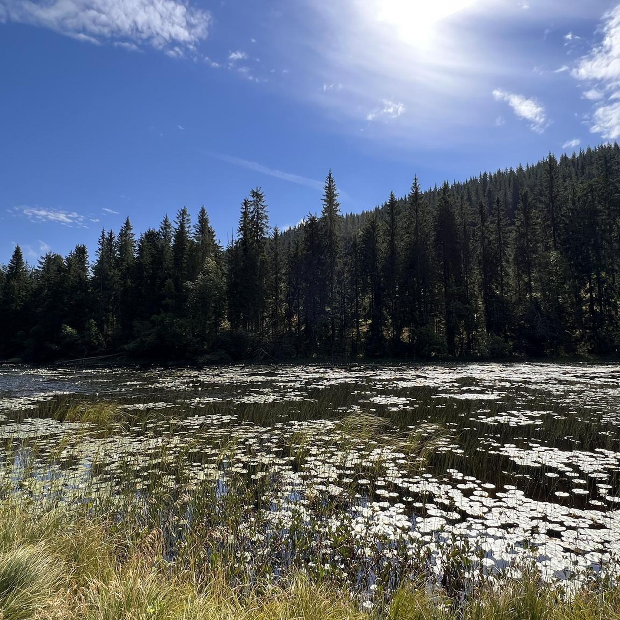
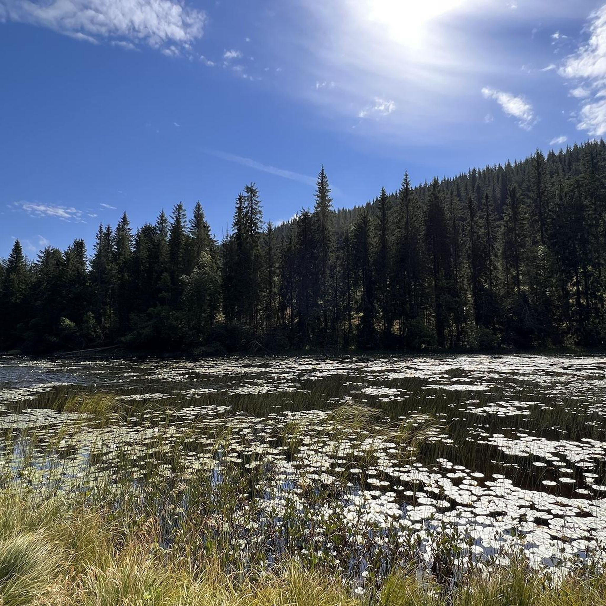
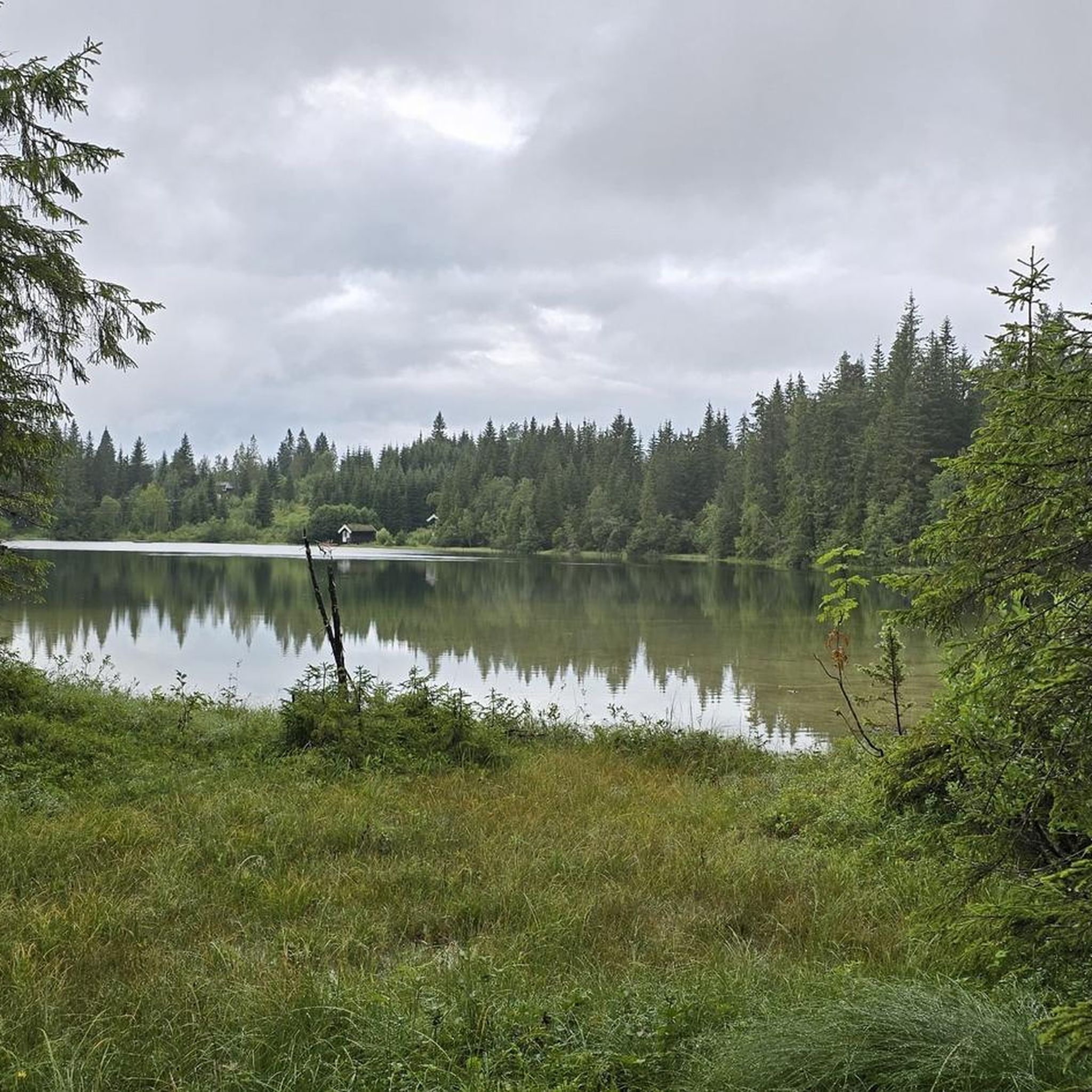
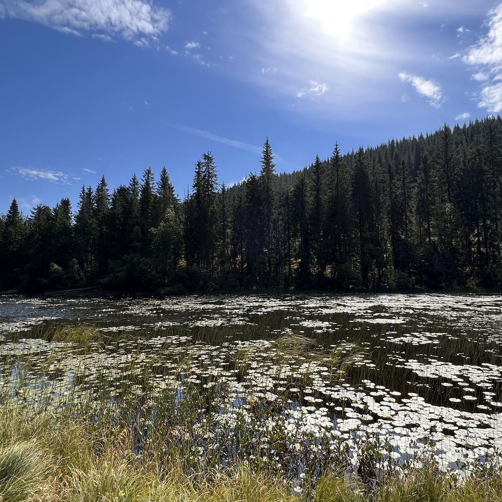
Road cycling routes around Mylla are rich with natural beauty. You'll enjoy serene lake views of Mylla Lake itself, and ride through dense pine forests that define the Nordmarka area. The varied topography also offers glimpses of rolling hills and picturesque Norwegian landscapes.
Are there circular road cycling routes around Mylla?
Yes, many of the road cycling routes around Mylla are designed as loops, allowing you to start and end at the same point. For example, the Velofoss loop from Lunner is a popular circular route that offers a scenic journey through the local countryside.
Is parking available for cyclists near Mylla Lake?
Parking is generally available at common starting points for outdoor activities around Mylla Lake. While specific parking lots for cyclists aren't detailed, areas popular for hiking and cross-country skiing often provide parking facilities that cyclists can utilize.
Can I reach Mylla by public transport for cycling?
Mylla is located north of Oslo, and while public transport options might be limited directly to the lake, it is accessible. For example, the Randsfjord Ferry loop from Jevnaker stasjon suggests that train stations in nearby towns like Jevnaker can serve as access points, from which you can cycle to Mylla.
Are there cafes or places to stop for refreshments along the road cycling routes?
While the immediate area around Mylla Lake is primarily natural, nearby towns and villages accessible via the cycling routes may offer cafes and refreshment stops. It's advisable to carry sufficient water and snacks, especially on longer routes, as services might be spread out.
What are the accommodation options near Mylla Lake?
Accommodation near Mylla Lake ranges from cabins to guesthouses in the surrounding area. The notable Mylla Cabin, designed by Fjord Arkitekter, offers striking views and blends sustainably with the natural terrain, providing a unique stay option.
Are road cycling routes around Mylla dog-friendly?
While the focus is on road cycling, the broader Nordmarka region is generally welcoming to dogs on trails, provided they are kept on a leash. For road cycling, dogs would need to be able to keep pace safely or be transported. Always check local regulations for specific routes.
What do other road cyclists say about their experience in Mylla?
The road cycling routes around Mylla are highly rated by the komoot community, with an average score of 3.7 stars from 3 reviews. Cyclists often praise the serene lake views, dense pine forests, and the varied terrain that offers both challenging climbs and enjoyable stretches.
Most popular routes around Mylla

Get inspired with the komoot mobile app


Explore more
Browse the best Road cycling routes in other regions.
