The best road cycling routes in Madison County
4.6
(13)
349
riders
22
rides
Road cycling in Madison County, Ohio, features a landscape of gently rolling terrain, agricultural fields, and river valleys. The region offers routes that traverse open countryside and pass through local metro parks. Cyclists can expect varied surfaces, from paved roads to dedicated bike paths, often following waterways like the Scioto and Olentangy Rivers. The elevation changes are generally gradual, making it accessible for various skill levels.
Best road cycling routes in Madison County
- The most popular road cycling route is…
Last updated: June 28, 2026
3
riders
82.1km
03:17
210m
210m
Moderate road ride. Good fitness required. Mostly well-paved surfaces and easy to ride.
52
riders
47.6km
02:19
100m
100m
Moderate road ride. Good fitness required. Mostly well-paved surfaces and easy to ride.

Sign up for free
5.0
(4)
45
riders
Easy road ride. Great for any fitness level. Mostly well-paved surfaces and easy to ride.
5.0
(2)
36
riders
57.2km
02:19
170m
170m
Moderate road ride. Good fitness required. Mostly well-paved surfaces and easy to ride.
19
riders
Easy road ride. Great for any fitness level. Mostly well-paved surfaces and easy to ride.
5.0
(1)
17
riders
70.3km
03:35
120m
120m
Moderate road ride. Good fitness required. Mostly well-paved surfaces and easy to ride.
5.0
(1)
15
riders
Moderate road ride. Great for any fitness level. Some segments of this route may be unpaved and difficult to ride.
5
riders
47.9km
02:05
110m
110m
Moderate road ride. Good fitness required. Some segments of this route may be unpaved and difficult to ride.
4.0
(2)
8
riders
30.5km
01:12
110m
110m
Easy road ride. Great for any fitness level. Mostly well-paved surfaces and easy to ride.
6
riders
Moderate road ride. Good fitness required. Mostly well-paved surfaces and easy to ride.
Get access to more routes and recommendations from other explorers.
Sign up for free
Already have an account?
Our route recommendations are based on thousands of hikes, rides, and runs completed by other people on komoot.
Start today with a free account
Your next adventure awaits.
Login or Signup



Tips from the Community

Tucked off the Heritage Rail Trail, this small park features playgrounds, a water fountain, toilets, lakes, a water park, and even a Conrail caboose—all set within a natural woodland setting with walking and biking trails.
0
0
Glacier Ridge Metro Park has a nice recreation area, with picnic tables, playgrounds and overlook platforms; it also features restrooms and a water fountain.
0
0
Glacier Ridge Metro Park Trail is a smooth, paved path through wetlands and open fields. The trail is flat and well-maintained, with a few connectors to extend your ride. Restrooms and parking are available at trailheads.
0
0

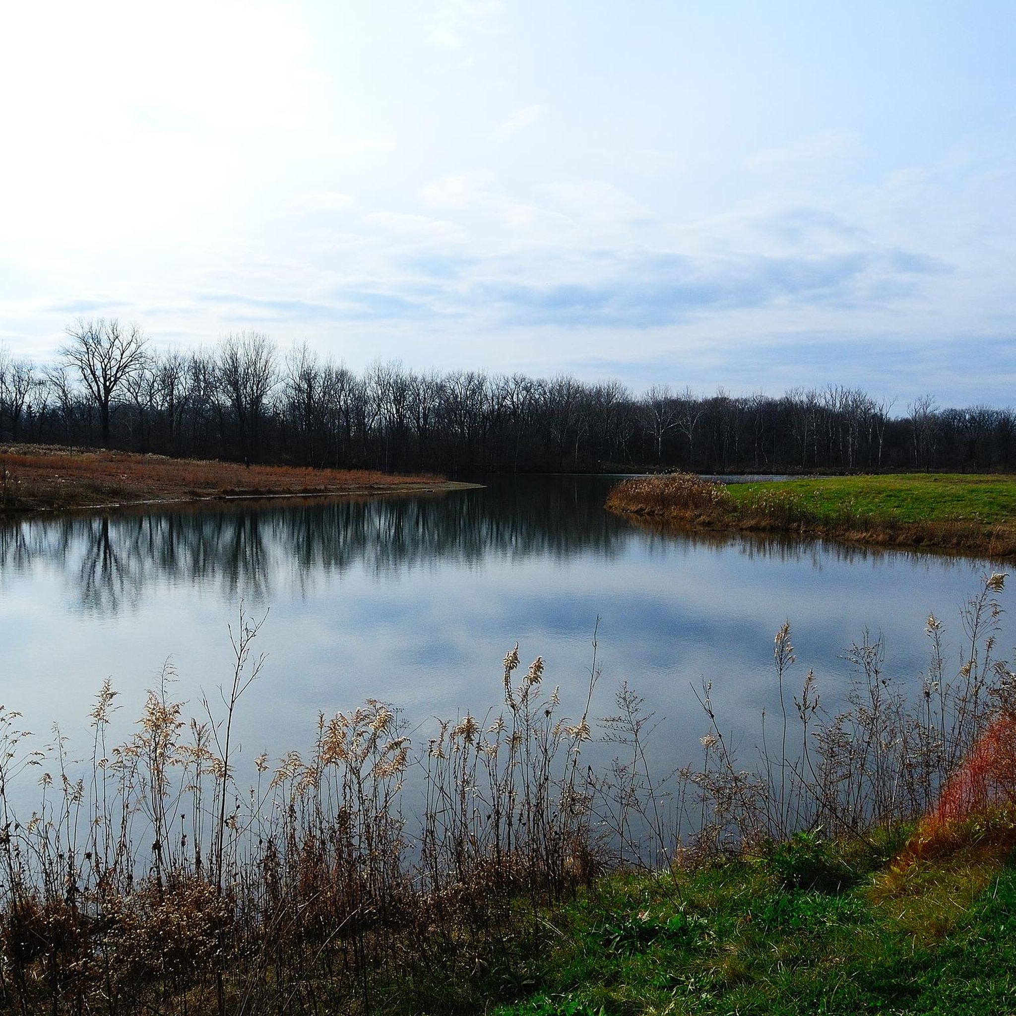
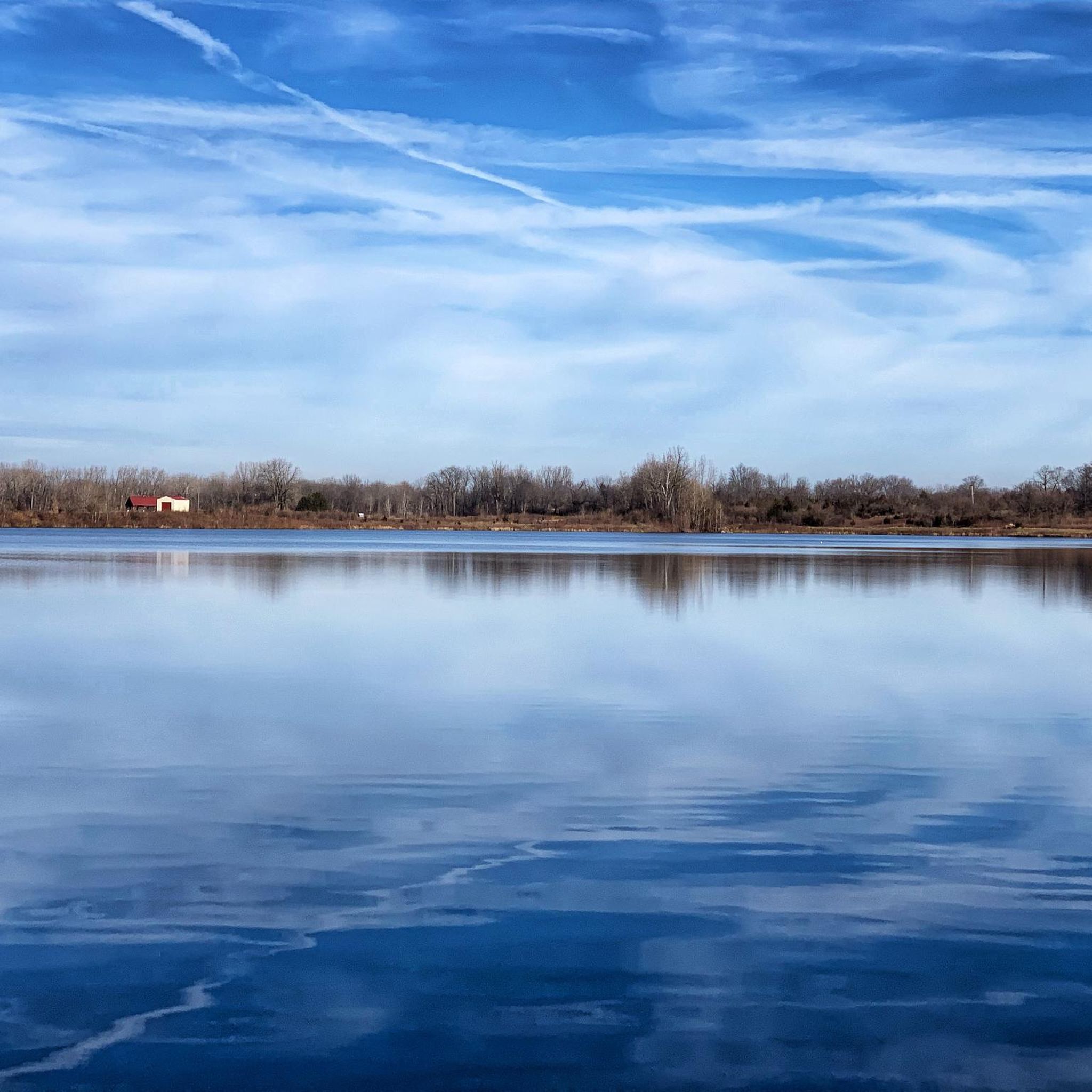
Darby Bend Lakes is a collection of three small lakes that are very close together. They get their name from their proximity to a sharp bend in Big Darby Creek. They are known for ample fishing and birding opportunities.
0
0
Big Darby Creek, not to be confused with Little Darby Creek, is a scenic river. It is one of the most biologically diverse rivers in the Midwest. It is 84 miles long and empties into the Scioto River.
0
0

The Olentangy River reaches 97 miles from Morrow County through Delaware County to Columbus, where it meets the Scioto at Confluence Park. Originally called "Keenhongsheconsepung," meaning "sharp tool river," settlers renamed it "Whetstone River" before a legislative mix-up in 1833 assigned it the name "Olentangy." The river serves as a drinking water source for Delaware County, while the Delaware State Park Reservoir is used for flood control. Restoration efforts, including dam removals, have reduced the river’s width and improved ecology.
0
0

The Camp Chase rail trail cuts close to wide, placid Darby Creek here. If you follow the trail north it'll actually cross the creek on a bridge, then continue to the west.
0
0

Frequently Asked Questions
How many road cycling routes are available in Madison County?
Madison County offers a diverse network of over 15 road cycling routes, catering to various skill levels and preferences. These routes explore the region's open countryside, river valleys, and metro parks.
Are there easy or beginner-friendly road cycling routes in Madison County?
Yes, Madison County has several easy routes perfect for beginners or those seeking a relaxed ride. For instance, the Glacier Ridge Metro Park – Glacier Ridge Metro Park Trail loop from Saint Brigid Of Kildare is a 13.7-mile trail that can be completed in under an hour, leading through Glacier Ridge Metro Park. Another easy option is the Roadbike loop from Hilliard, which is about 8 miles long.
What are some longer, more challenging road cycling routes in Madison County?
For cyclists looking for a greater challenge, Madison County offers moderate routes that cover longer distances. The Hilliard to Harrisburg loop via Prairie Oaks Metro Park is a substantial 51-mile route, exploring open countryside. Another option is the Cedarville loop from London, which spans over 43 miles.
Can I find circular road cycling routes in Madison County?
Many of Madison County's road cycling routes are designed as loops, allowing you to start and finish at the same point without retracing your path. Examples include the Big Darby Creek loop from London and the Olentangy River – Scioto River Bridge loop from Lincoln Village.
What kind of scenery can I expect on road cycling routes in Madison County?
Road cycling in Madison County is characterized by open farmlands, scenic river corridors, and trails through local metro parks. You'll encounter gently rolling terrain, agricultural fields, and views along waterways like the Scioto and Olentangy Rivers. The region's natural beauty provides a pleasant backdrop for rides.
Are there family-friendly road cycling options in Madison County?
Yes, the metro parks in Madison County offer excellent family-friendly cycling opportunities. Routes like the Glacier Ridge Metro Park – Glacier Ridge Metro Park Trail loop from Saint Brigid Of Kildare are relatively short and have gradual elevation changes, making them suitable for families with children or those preferring an easier pace.
What do other cyclists say about road cycling in Madison County?
The road cycling routes in Madison County are highly rated by the komoot community, with an average score of 4.0 stars from over 2 reviews. Cyclists often praise the varied terrain, from open farmlands to river corridors and well-maintained metro park trails, which offer options for different ability levels.
Are there any routes that pass through metro parks or natural areas?
Absolutely. Several routes are specifically designed to take you through or near metro parks. The Hilliard to Harrisburg loop connects to Prairie Oaks Metro Park, while the Glacier Ridge Metro Park – Glacier Ridge Metro Park Trail loop from Dublin leads directly through Glacier Ridge Metro Park, offering access to natural settings.
What is the best time of year to go road cycling in Madison County?
The best time for road cycling in Madison County is typically during spring, summer, and fall when the weather is mild and the scenery is vibrant. The region's gently rolling terrain makes it enjoyable across these seasons, with autumn offering particularly picturesque views of changing foliage.
Are there options for road cycling near water features like rivers or lakes?
Yes, Madison County's road cycling routes often follow waterways. The Big Darby Creek loop from London offers scenic views along the Big Darby Creek. Additionally, routes like the Olentangy River – Scioto River Bridge loop from Lincoln Village provide opportunities to cycle alongside the Scioto and Olentangy Rivers.
How long do road cycling routes typically take in Madison County?
Route durations vary significantly based on distance and your cycling speed. Easy routes, such as the Glacier Ridge Metro Park loop (13.7 miles), can take less than an hour. Moderate routes, like the 51-mile Hilliard to Harrisburg loop, typically require around 3 hours and 15 minutes to complete.
Are there any hidden gem routes for road cycling in Madison County?
While many routes are well-known, exploring the less-trafficked sections of the metro park trails or the quiet country roads can reveal hidden gems. For example, the Glacier Ridge Metro Park Trail – Wetland Education Center loop from Dublin Jerome High School offers a pleasant ride through natural areas that might feel more secluded.

Get inspired with the komoot mobile app


Didn’t find what you were looking for?
Check out more Road cycling routes throughout Madison County below and find the perfect route in your destination.
Explore more
Browse the best Road cycling routes in other regions.
