4.7
(741)
17,064
riders
452
rides
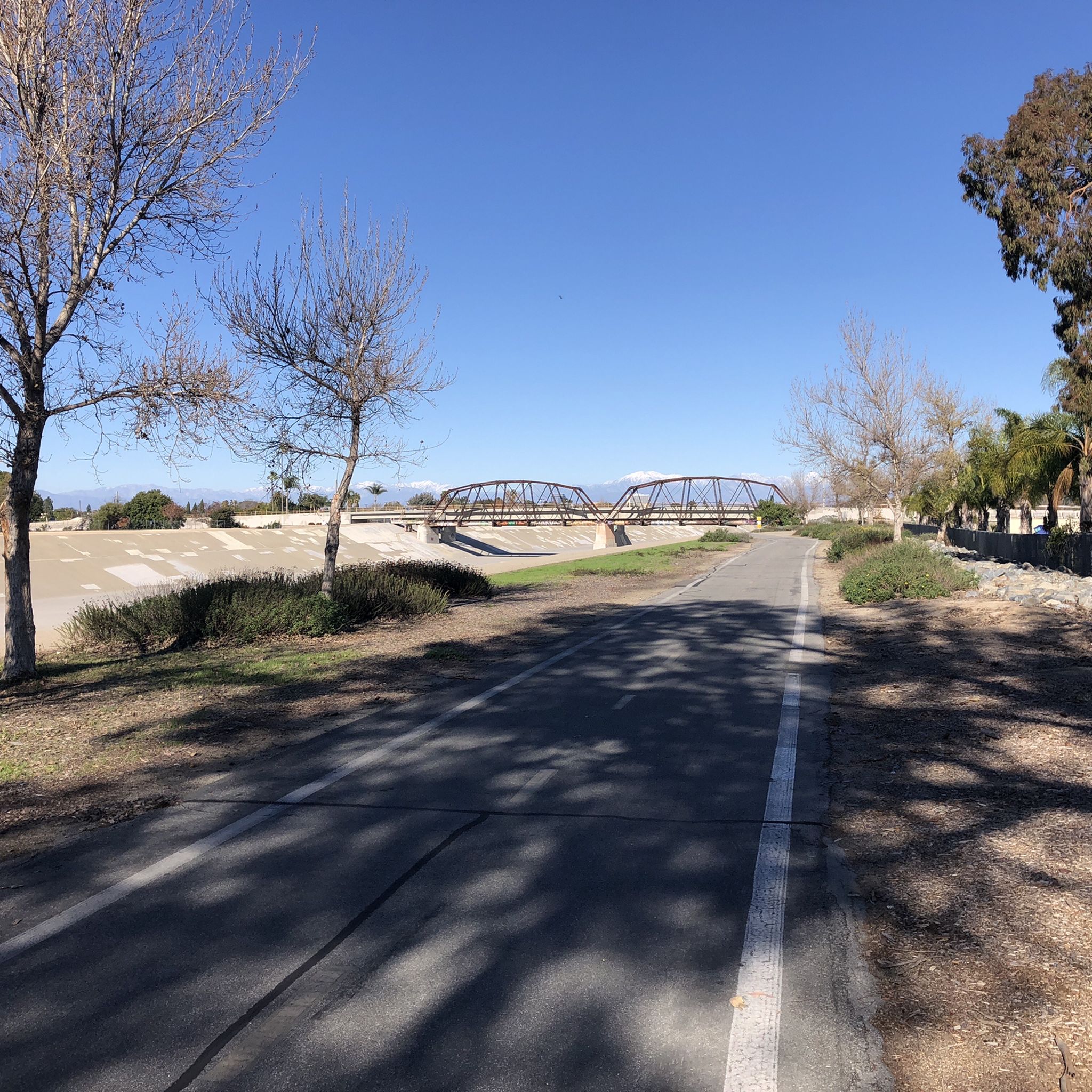
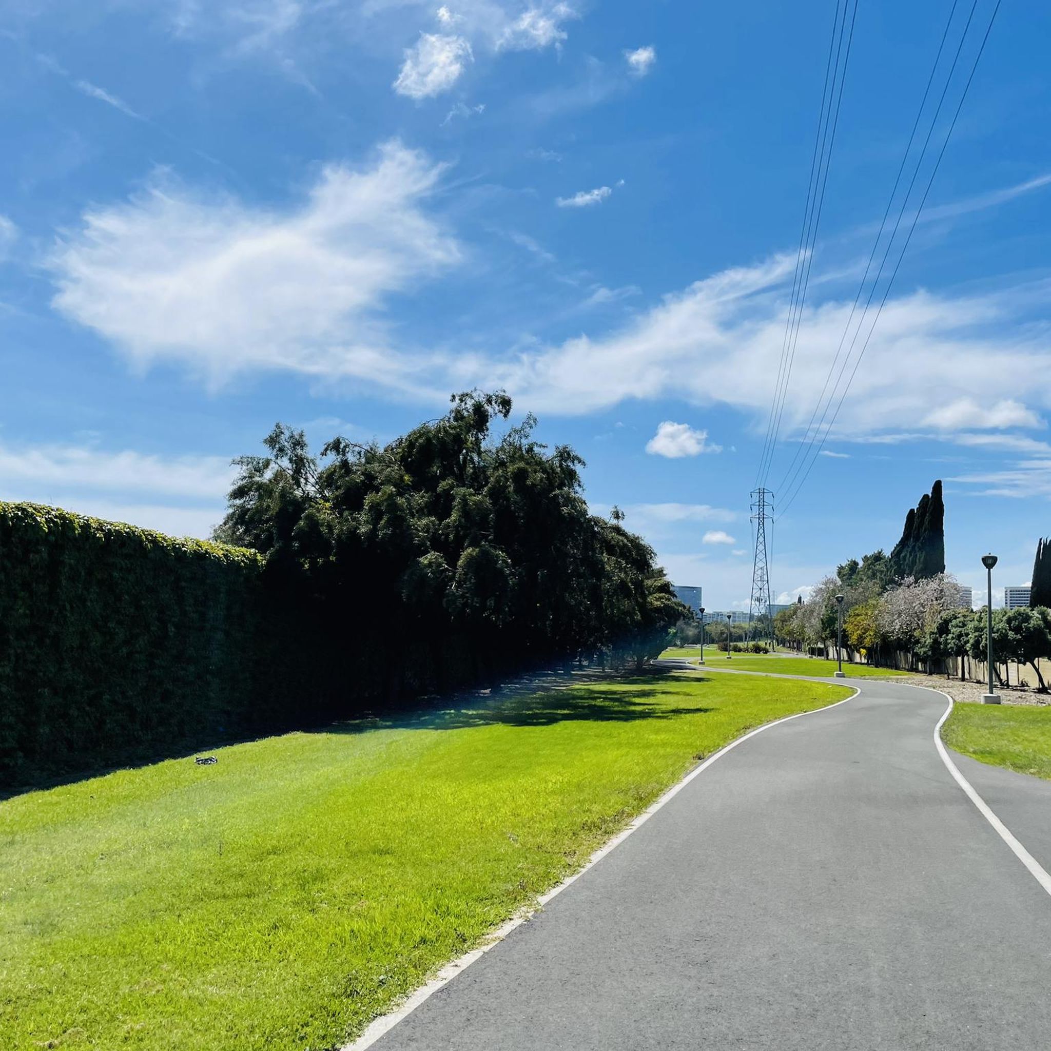
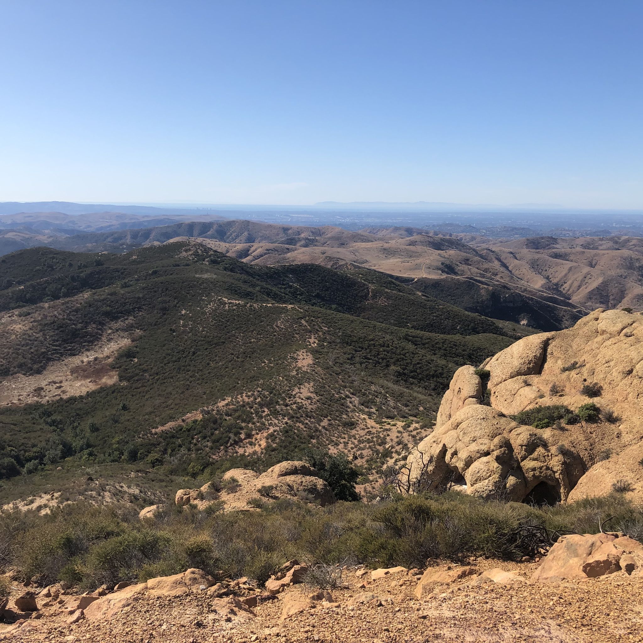
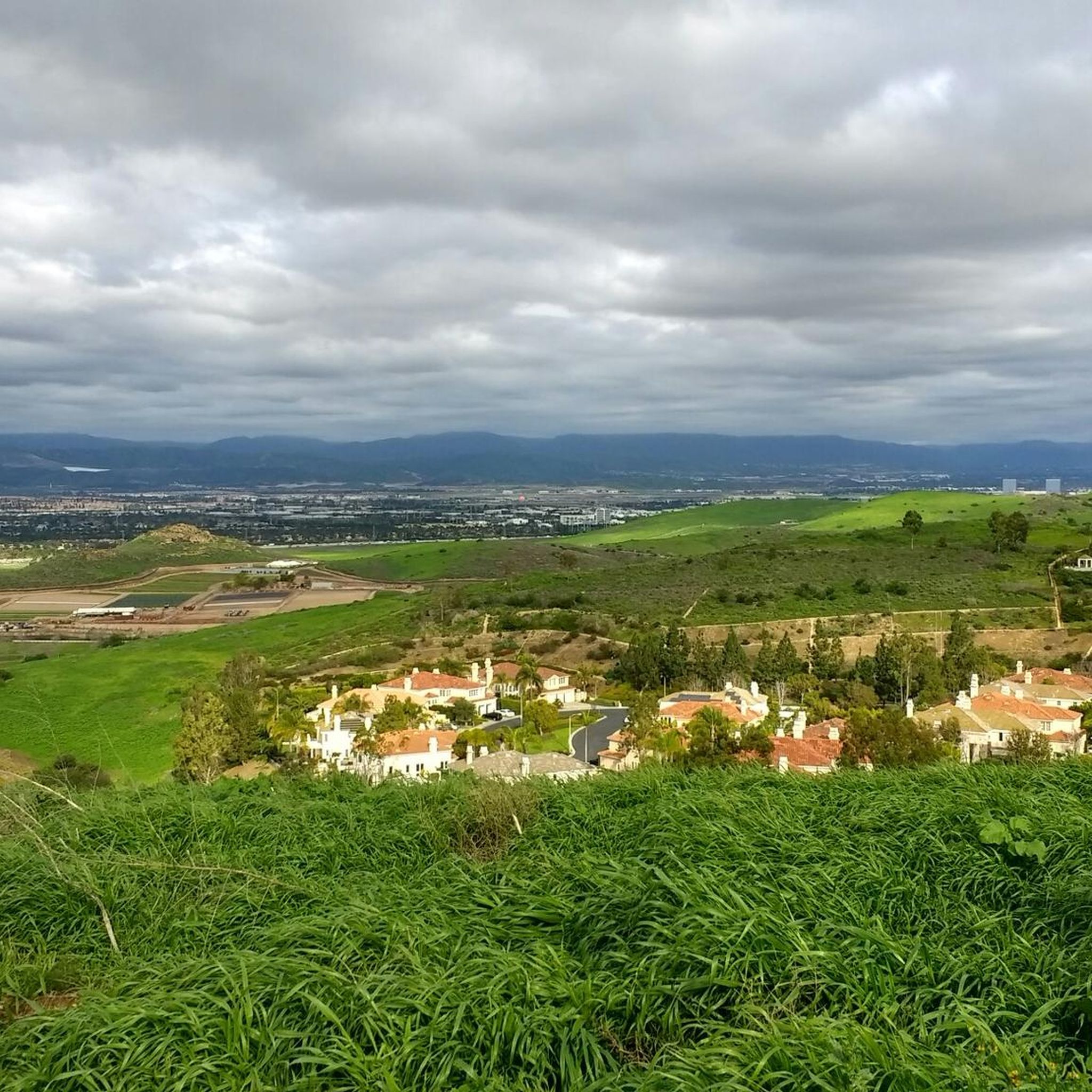
Road cycling in Orange County offers diverse terrain, from extensive river paths to coastal routes and challenging hills. The region features a network of dedicated bike paths and lanes, providing varied scenery for cyclists. Landscapes include picturesque coastlines, winding riverbanks, and rolling hills that lead into the Santa Ana Mountains. This combination of natural features creates a dynamic environment for road cycling.
Last updated: June 23, 2026
4.0
(5)
482
riders
75.5km
03:34
130m
130m
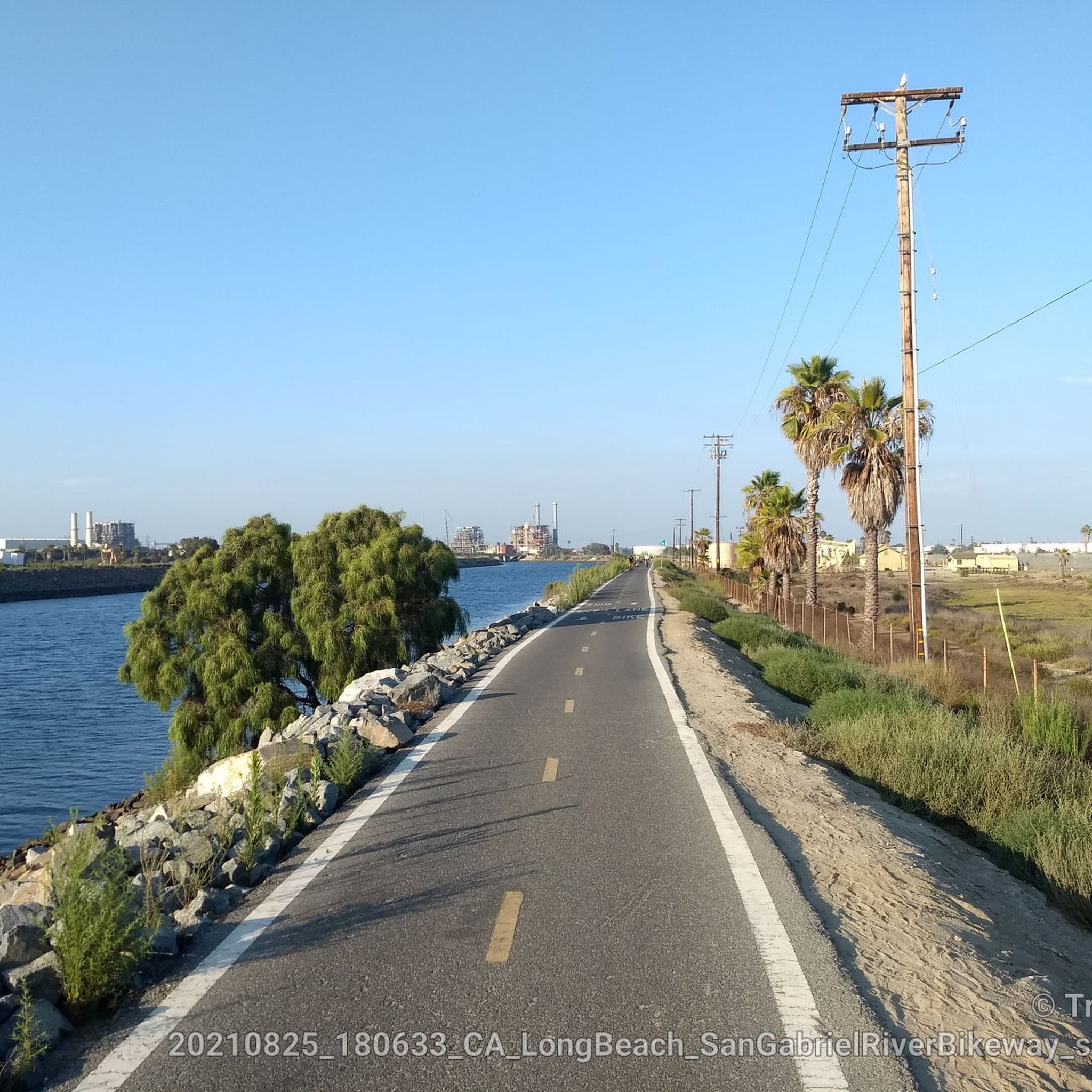
The Santa Ana River Bicycle Path offers a unique road cycling experience, transitioning from serene natural river channels with mountain views to bustling urban centers and finally to the Pacific coast. You'll ride on a well-maintained, wide asphalt path, enjoying varied scenery that includes shaded sections, glimpses of the San Gabriel Mountains, and iconic landmarks like Angel Stadium before reaching the beautiful Huntington State Beach.
This moderate 46.9-mile (75.5 km) route, with a gentle 415 feet (126 metres) of elevation gain, typically takes around 3 hours and 33 minutes. It's highly accessible with many starting points, making it easy to plan a ride that suits your fitness level. While largely flat, expect moderate climbs if you're heading inland, especially on the return journey.
Known as a "bicycle freeway" for its grade-separated intersections, this trail is a significant multi-use facility in Southern California. It was designated a National Recreation Trail in 1977, highlighting its importance and the diverse environments it connects, from riverbanks to cityscapes and coastal views.
4.5
(15)
326
riders
40.7km
01:55
220m
220m
Embark on the Mountains to Sea and Back Bay Loop, an easy racebike route that guides you through a diverse landscape in Orange County, California. You will cycle 25.3 miles (40.7 km), gaining 726 feet (221 metres) in elevation, with an estimated duration of 1 hour and 54 minutes. Experience the transition from the rugged, oak-filled terrain of Weir Canyon to the expansive coastal wetlands of Upper Newport Bay, offering picturesque views and a refreshing ride.
This accessible route features multiple entry points, making it convenient to start your journey. As you ride the Back Bay Loop section, you will find amenities such as restrooms and water fountains available along the way. The two main sections, the Mountains to Sea Trail and the Back Bay Loop Trail, connect seamlessly, allowing for a continuous and enjoyable cycling experience.
The route takes you through the 50,000-acre Irvine Ranch Land Reserve, a designated Natural Landmark known for its conservation efforts. Along the Upper Newport Bay Nature Preserve and Ecological Reserve, you can observe coastal wetlands and enjoy opportunities for birdwatching, particularly at Castaways Park. This trail offers a unique blend of urban bikeways and significant natural reserves.

Sign up for free
5.0
(1)
264
riders
85.0km
04:11
130m
130m
The Los Angeles and San Gabriel Rivers Loop offers a unique perspective on Southern California's urban and natural environments, blending two major river trails into one dynamic road cycling experience. You'll pedal past the Santa Fe Dam Recreation Area, through El Dorado East Regional Park, and along the Los Angeles River Bikeway, enjoying views of the San Gabriel Mountains to the north and glimpses of the Pacific Ocean as you approach Long Beach. The terrain is almost entirely paved, providing a smooth ride, though some short, steep sections near the Santa Fe Dam add a bit of challenge.
Planning your ride on this popular route is straightforward, with many entry points and amenities like restrooms and water fountains available. Parking is convenient at locations such as the Whittier Narrows Nature Center and the Santa Fe Dam. To make the most of your ride and avoid the strongest sun and potential onshore headwinds, an early morning start is highly recommended. Be aware that some riders advise caution when cycling alone in certain northern sections.
This moderate 52.8-mile (85.0 km) loop, with a gentle 417 feet (127 metres) of elevation gain, typically takes around 4 hours and 10 minutes to complete. It's an excellent choice for logging miles and enjoying a diverse landscape that transitions from urban stretches to natural riparian vegetation, offering a chance to spot various water birds. The route is largely traffic-free, making it a favorite for those seeking a consistent workout or a long, scenic tour.
5.0
(1)
259
riders
82.8km
04:15
110m
110m
Embark on the San Gabriel, Rio Hondo & Los Angeles River Loop for a moderate racebike adventure spanning 51.5 miles (82.8 km). You'll experience a diverse ride, cycling through urban areas, alongside concrete channels, and into unexpected green spaces. The route offers glimpses of parks and recreational areas, with opportunities for birdwatching, particularly near the Rio Hondo Spreading Grounds. As you pedal, you'll find segments shaded by eucalyptus trees and riparian vegetation. With a gentle elevation gain of 367 feet (112 metres), this loop typically takes about 4 hours and 14 minutes to complete. On clear days, the northern sections of the San Gabriel River Trail provide scenic views of the majestic San Gabriel Mountains in the distance.
Planning your ride is straightforward, as the trails are largely flat and well-maintained, making them suitable for most racebike riders. You will find numerous access points along all three river trails, which allows you to join or leave the loop at various locations, offering flexibility for shorter excursions. Many parks situated along the route provide convenient amenities such as restrooms, water fountains, and picnic areas, ensuring you have everything you need for a comfortable journey. Consider starting early to enjoy cooler temperatures and fewer crowds on this popular route.
This extensive loop offers a unique way to explore a significant portion of Los Angeles County on two wheels, connecting three major river systems. The route highlights the transformation of urban waterways into accessible recreational corridors, showcasing how green infrastructure integrates with city life. You will observe a blend of engineered landscapes and surprising pockets of natural habitat, providing a distinct perspective on the region's environment. It's a testament to urban planning that provides a continuous path for active transportation and outdoor enjoyment.
4.6
(5)
237
riders
54.3km
02:27
350m
350m
The Mountains to Sea & Back Bay Loop offers a varied road cycling experience, transitioning from urban edges to serene coastal landscapes. You'll navigate a moderate 33.7-mile (54.3 km) route, gaining 1137 feet (346 metres) in elevation, typically completed in about 2 hours and 27 minutes. The ride provides expansive views of Upper Newport Bay, where you can observe coastal wetlands and marshes, particularly around the Peter and Mary Muth Interpretive Center.
Planning your ride on the Mountains to Sea & Back Bay Loop is straightforward, as the route is clearly marked and has several entry points. You will find practical amenities along the Back Bay Loop section, including restrooms and picnic tables, making it easy to take breaks. Consider starting your ride in the morning to enjoy cooler temperatures and less crowded paths, especially during peak seasons.
This route stands out for its unique blend of environments, connecting a regional trail with a loop around a vital ecological preserve. The Upper Newport Bay is a significant estuary in Southern California, serving as a crucial habitat for numerous bird species, such as great blue herons and ospreys. The interpretive signs along the way offer insights into the area's natural importance and wildlife.
4.7
(3)
178
riders
59.2km
02:51
710m
710m
Embark on the Peters Canyon and Walnut Bikeway Loop for a moderate road cycling adventure spanning 36.8 miles (59.2 km). This route offers a diverse experience, blending urban bikeways with natural landscapes. You will gain 2318 feet (707 metres) in elevation over an estimated 2 hours and 51 minutes, making it a good challenge. As you cycle, enjoy views of the shimmering Lower Peters Canyon Reservoir and pass through green spaces along the Walnut Trail. The route also winds through rolling, golden hills near Peters Canyon Regional Park, where you might even spot local wildlife.
You will find multiple convenient access points to begin your ride on the Peters Canyon and Walnut Bikeway Loop. Parking is readily available at several parks along the route, including Valencia Park, Citrus Ranch Park, and Peters Canyon Regional Park. Be aware that Peters Canyon Regional Park may charge a parking fee. Many of these parks also offer useful amenities such as drinking fountains, restrooms, and picnic shelters for your convenience.
This loop provides a unique blend of urban cycling infrastructure and natural beauty, making it a standout option in the region. It seamlessly connects the landscaped Peters Canyon Bikeway with the greener Walnut Trail, offering a dynamic backdrop for your ride. The opportunity to cycle past parks like Cedar Grove Park and experience the open, golden hills adds to its distinct character. This route is ideal if you are looking for a varied road cycling experience that combines accessibility with scenic views.
4.3
(4)
191
riders
49.0km
02:10
290m
290m
Embark on the Mountains to Sea Trail for a moderate road cycling adventure through Orange County. This route spans 30.4 miles (49.0 km) and includes a manageable 940 feet (286 metres) of elevation gain, typically taking about 2 hours and 9 minutes to complete. You will enjoy a pleasant ride primarily on dedicated bike paths, cycling alongside the scenic San Diego Creek Trail and passing the tranquil Lower Peters Canyon Reservoir, which offers a refreshing break from urban surroundings.
Planning your ride on the Mountains to Sea Trail is straightforward as the route is generally accessible. You will find parking available at various points along the trail, particularly near parks and trailheads. Always remember to check local signage for specific parking regulations before you leave your vehicle. Fortunately, no special permits or fees are typically required to enjoy cycling this public route.
This trail stands out for its unique ability to connect you with the natural landscape of Orange County on two wheels. By following the San Diego Creek Trail, you get to experience diverse views and a peaceful atmosphere. The inclusion of the Lower Peters Canyon Reservoir as a landmark further enhances the journey, providing a distinct visual element that sets this route apart in the region.
5.0
(2)
168
riders
18.1km
00:54
140m
140m
Embark on an easy road cycling adventure around the Upper Newport Bay Nature Preserve. The Back Bay Loop Trail offers 11.2 miles (18.1 km) of paved paths, with a gentle elevation gain of 449 feet (137 metres), making it suitable for all skill levels. You can expect to complete this scenic route in about 54 minutes, enjoying continuous views of the wetlands and the bay, with opportunities to spot diverse birdlife.
Planning your visit is straightforward, as the trail provides multiple access points and convenient amenities. You will find benches, picnic tables, and restrooms at various locations, including the Peter and Mary Muth Interpretive Center. Parking is available at several points around the loop, with some options offering free parking, allowing you to start your ride with ease.
This route is a prime spot for birdwatching, as the Upper Newport Bay is a significant ecological reserve. As you cycle, keep an eye out for herons, egrets, and ospreys that frequent the area. Informative signs along the way explain the local flora and fauna, enriching your ride with insights into this vibrant coastal ecosystem.
5.0
(1)
105
riders
45.4km
01:55
80m
80m
The San Gabriel River & Bolsa Chica Loop offers a delightful road cycling experience, blending urban river views with refreshing coastal scenery. You'll cruise along the San Gabriel River Trail, where you might spot water birds among the riparian vegetation, before reaching the Pacific Ocean for classic beachside vistas near Seal Beach and the Bolsa Chica Ecological Reserve. This easy 28.2-mile (45.4 km) loop, with only 256 feet (78 metres) of elevation gain, is perfect for a relaxed ride, taking about 1 hour and 55 minutes to complete.
Access to the loop is convenient, with many entry points along the San Gabriel River Trail. The route is largely off-street, meaning fewer interruptions from traffic, though some sections of the paved path can have cracks and potholes, so keep an eye on the surface. As a popular route, it's a good idea to be aware of other cyclists, especially during peak times.
This loop stands out for its diverse environment, transitioning smoothly from urban and natural river settings to the open coast. While bikes aren't permitted inside the Bolsa Chica Ecological Reserve itself, the surrounding bike path still provides excellent views and opportunities for wildlife spotting from a distance. It's a great option if you're looking for a varied and accessible ride in Orange County.
5.0
(1)
73
riders
66.6km
03:02
730m
730m
Embark on a scenic road cycling journey from San Juan Capistrano to Newport Bay, a moderate route spanning 41.4 miles (66.6 km). You will experience a diverse Southern California landscape, gaining 2383 feet (726 metres) in elevation over approximately 3 hours and 2 minutes. As you cycle, you'll be treated to abundant coastal and ocean views, especially when passing through Crystal Cove State Park, known for its rugged bluffs and pristine beaches.
For your ride, parking is conveniently available in the San Juan Capistrano area, which serves as an ideal starting point. The route is generally well-maintained with mostly paved surfaces, ensuring a smooth experience. While the wider Crystal Cove area features some challenging fire roads, this specific route keeps you on smoother paths, perfect for your racebike.
This route stands out for its direct passage through Crystal Cove State Park, offering expansive panoramic ocean views. On clear days, you might even catch a glimpse of Catalina Island in the distance. A particular highlight is the paved bluff-top path within the park, providing continuous stunning vistas, and you will also enjoy views of Treasure Island Park as you pass through Laguna Beach.
Get access to more routes and recommendations from other explorers.
Sign up for free
Already have an account?
Our route recommendations are based on thousands of hikes, rides, and runs completed by other people on komoot.
Start today with a free account
Your next adventure awaits.
Login or Signup
Popular around Orange County
Road Cycling Routes around Tustin
Road Cycling Routes around Newport Beach
Road Cycling Routes around Anaheim
Road Cycling Routes around Rossmoor
Road Cycling Routes around Seal Beach
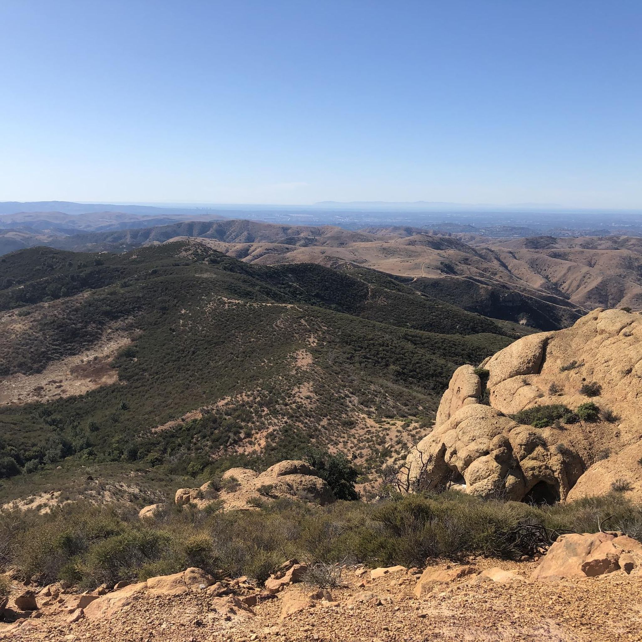
Road Cycling Routes in the Santa Ana Mountains
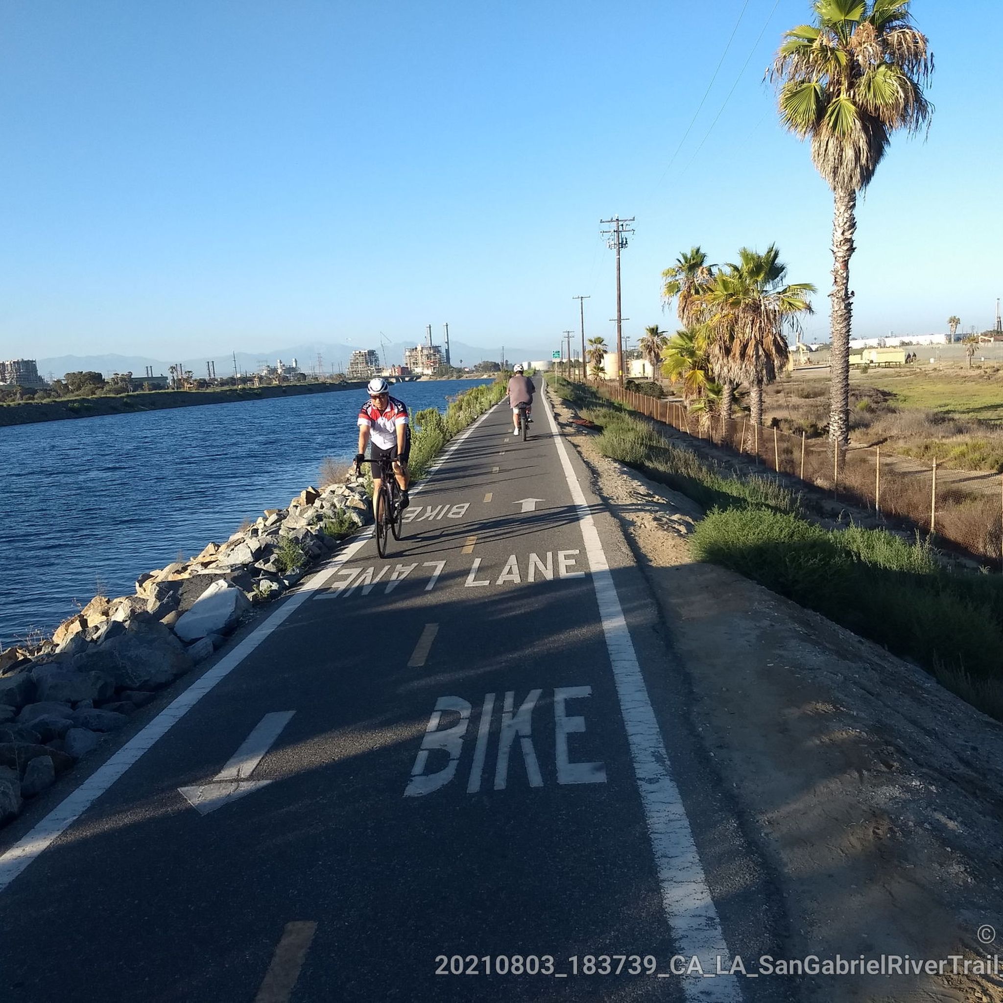
Road Cycling Routes in Seal Beach National Wildlife Refuge
Road Cycling Routes around Cypress
Road Cycling Routes around Irvine
Road Cycling Routes around Los Alamitos
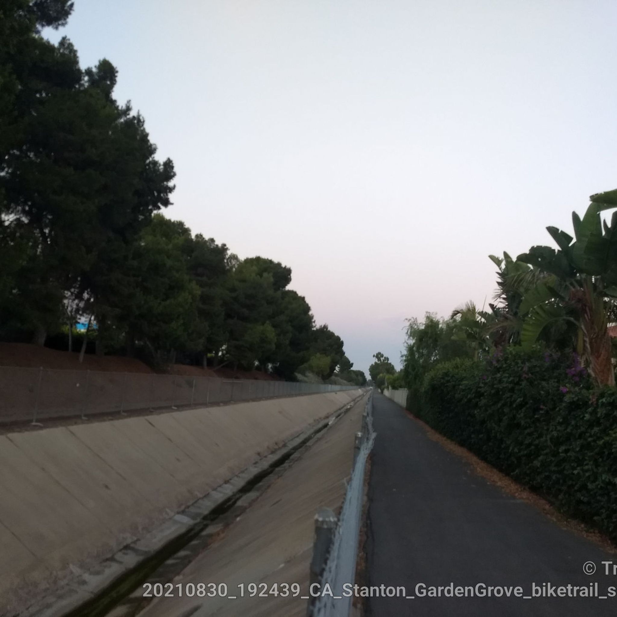
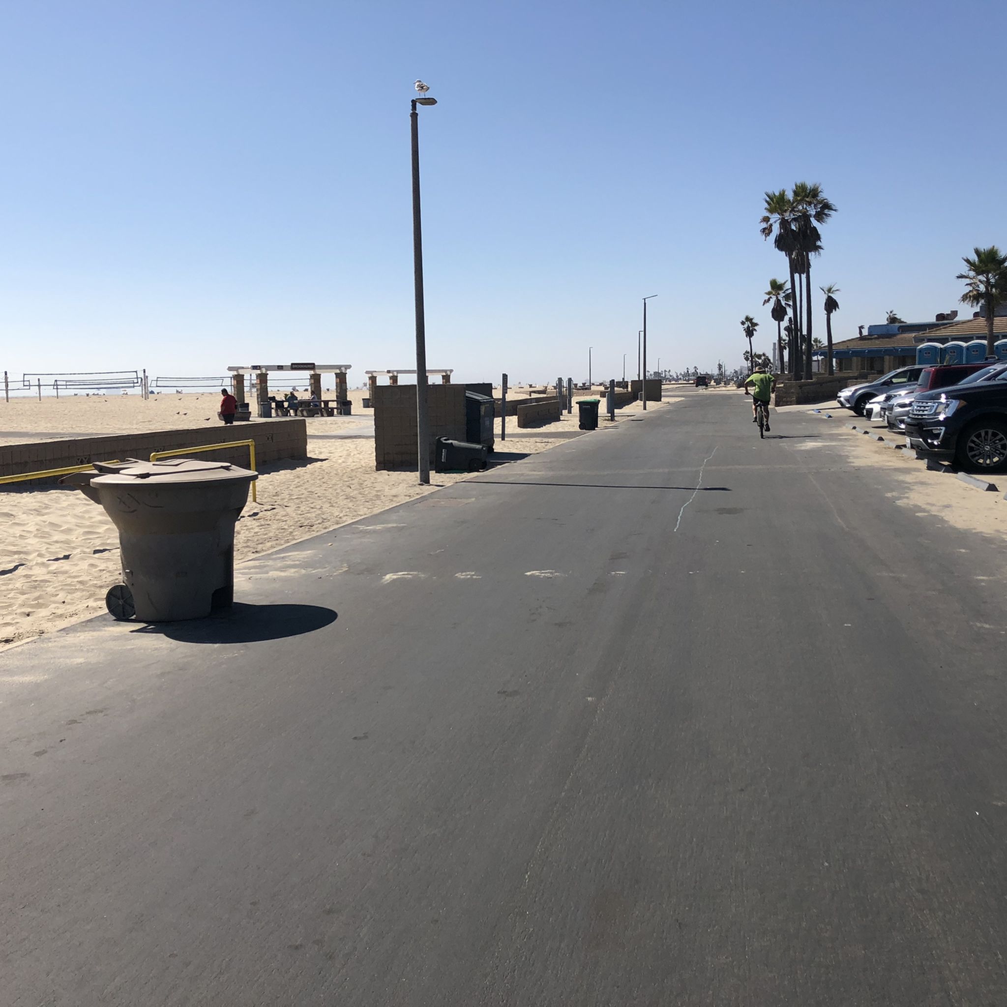
Limited cars use the roads so it is nice to get away from traffic
0
0
Not a bad trail. Super smooth and free of cars and gravel
0
0
There is a parking lot and restroom here at the trailhead, which provides access to a large network of paved and packed dirt trails along the beautiful Rio Hondo. The trailhead closes at sunset.
0
0
This is a smooth paved section of the Back Bay Loop Trail, approximately 2 miles (3.2k) in length along the north side of the Upper Newport Bay Nature Preserve. Running between Irvine Ave and Jamboree Road, this route takes you away from the busy roads and offers the best views.
0
0
Orange County offers a wide variety of road cycling experiences, with over 450 routes available. These routes cater to all skill levels, from easy, flat rides to challenging ascents through hills and canyons.
Orange County's road cycling routes feature diverse terrain. You can find extensive river paths, scenic coastal routes with ocean views, and challenging rides through rolling hills and into the Santa Ana Mountains. The region offers a mix of dedicated bike paths, striped bike lanes, and shared routes.
Yes, Orange County has many easy and beginner-friendly road cycling routes. For example, the Mountains to Sea and Back Bay Loop is an easy 25.3-mile path that traverses urban areas to coastal wetlands. Another great option is the Back Bay Loop Trail, a mostly flat 10.5-mile route through wetlands, suitable for all skill levels.
For experienced riders seeking a challenge, Orange County offers routes with significant elevation gains. Areas like Santiago Canyon are known for their challenging climbs and impressive mountain views. The Peters Canyon and Walnut Bikeway Loop, for instance, includes over 700 meters of elevation gain, providing a strenuous ride.
Orange County boasts stunning coastal road cycling routes. The Pacific Coast Highway offers panoramic ocean views, passing iconic landmarks like the Huntington Beach Pier and Newport Beach's Balboa Island. The scenic coastal road from Huntington Beach to Laguna Beach also provides breathtaking vistas of the Pacific. The San Juan Capistrano to Newport Bay via Crystal Cove State Park route offers incredible ocean views as well.
Yes, Orange County features several excellent road cycling routes along river paths. The Santa Ana River Bicycle Path is a significant multi-use trail stretching over 45 miles, offering diverse scenery from Yorba Linda to Huntington State Beach. Another option is the Los Angeles and San Gabriel Rivers Loop, which leads through river paths and urban green spaces.
Many road cycling routes in Orange County are designed as loops, offering varied scenery without retracing your path. Popular examples include the Mountains to Sea and Back Bay Loop and the Los Angeles and San Gabriel Rivers Loop. The Back Bay Loop Trail is also a well-known circular route.
Orange County's road cycling routes often pass by beautiful natural attractions. You might encounter features like the coastal wetlands of Newport's Back Bay, the lush greenery of Peters Canyon, or the scenic canyons of Wood Canyons Wilderness Park. Some routes also offer views of the Santa Ana Mountains. For specific natural highlights, you can explore areas like Black Star Falls or Holy Jim Falls, which are accessible via nearby trails.
The road cycling routes in Orange County are highly rated by the komoot community, with an average score of 4.6 stars from over 500 reviews. More than 14,000 road cyclists have used komoot to explore the region's varied terrain, often praising the diverse landscapes, well-maintained paths, and the combination of coastal, river, and hilly routes.
Yes, Orange County offers several family-friendly road cycling options, particularly on its dedicated bike paths. Routes like the Santa Ana River Bicycle Path and the Back Bay Loop Trail are generally flat and well-maintained, making them suitable for families with children or those looking for a more relaxed ride.
Orange County benefits from pleasant weather year-round, making it an appealing destination for road cycling in any season. The mild climate ensures comfortable riding conditions for most of the year, though summer months can be warmer, especially inland. Coastal routes often offer cooler temperatures and refreshing ocean breezes.
The length of road cycling routes in Orange County varies significantly to accommodate different preferences and fitness levels. You can find shorter loops like the Back Bay Loop Trail at about 10.5 miles, to longer excursions such as the Los Angeles and San Gabriel Rivers Loop, which spans over 52 miles.


Check out more Road cycling routes throughout Orange County below and find the perfect route in your destination.
Browse the best Road cycling routes in other regions.