The best MTB trails around Midtsjøvannet
4.0
(3)
54
riders
22
rides
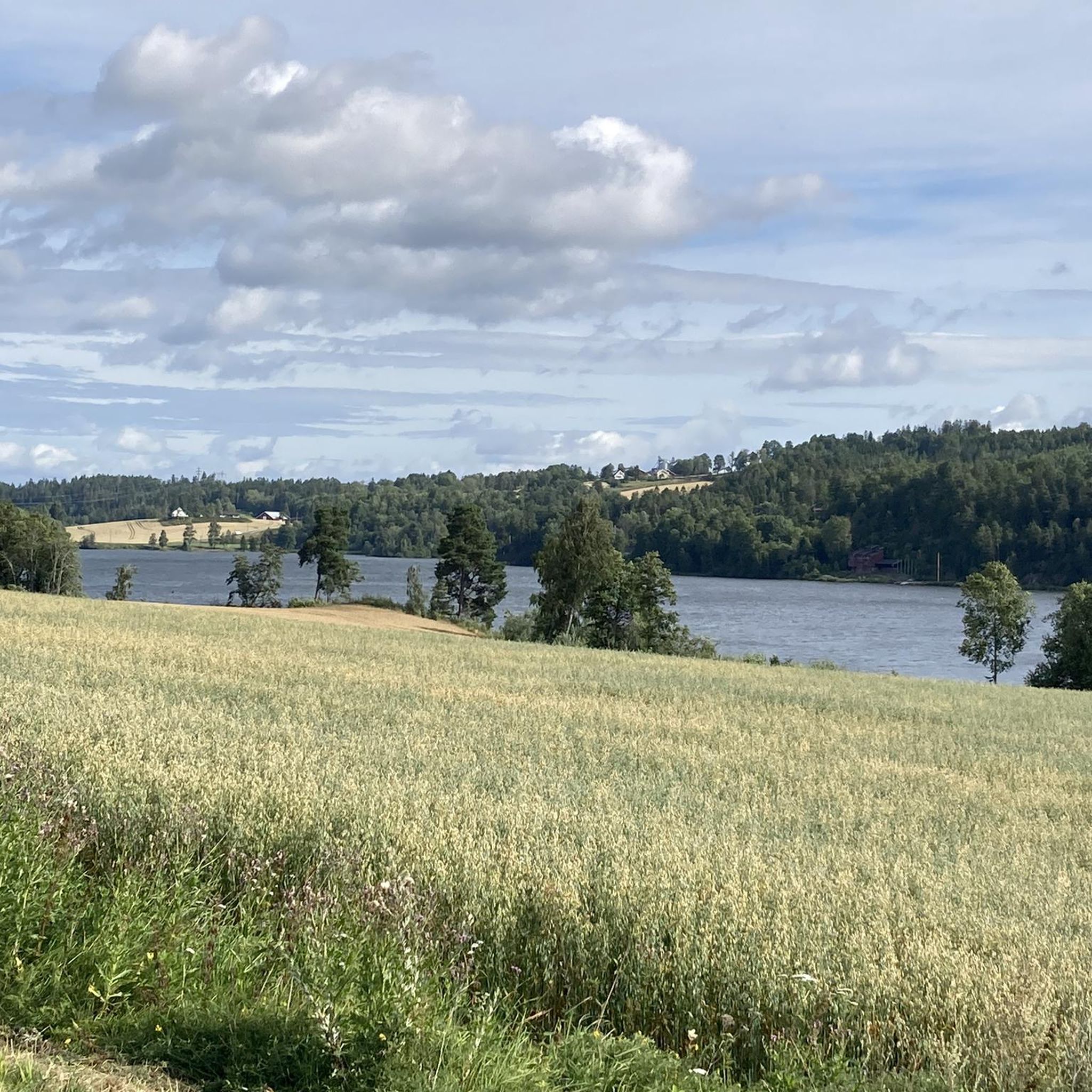
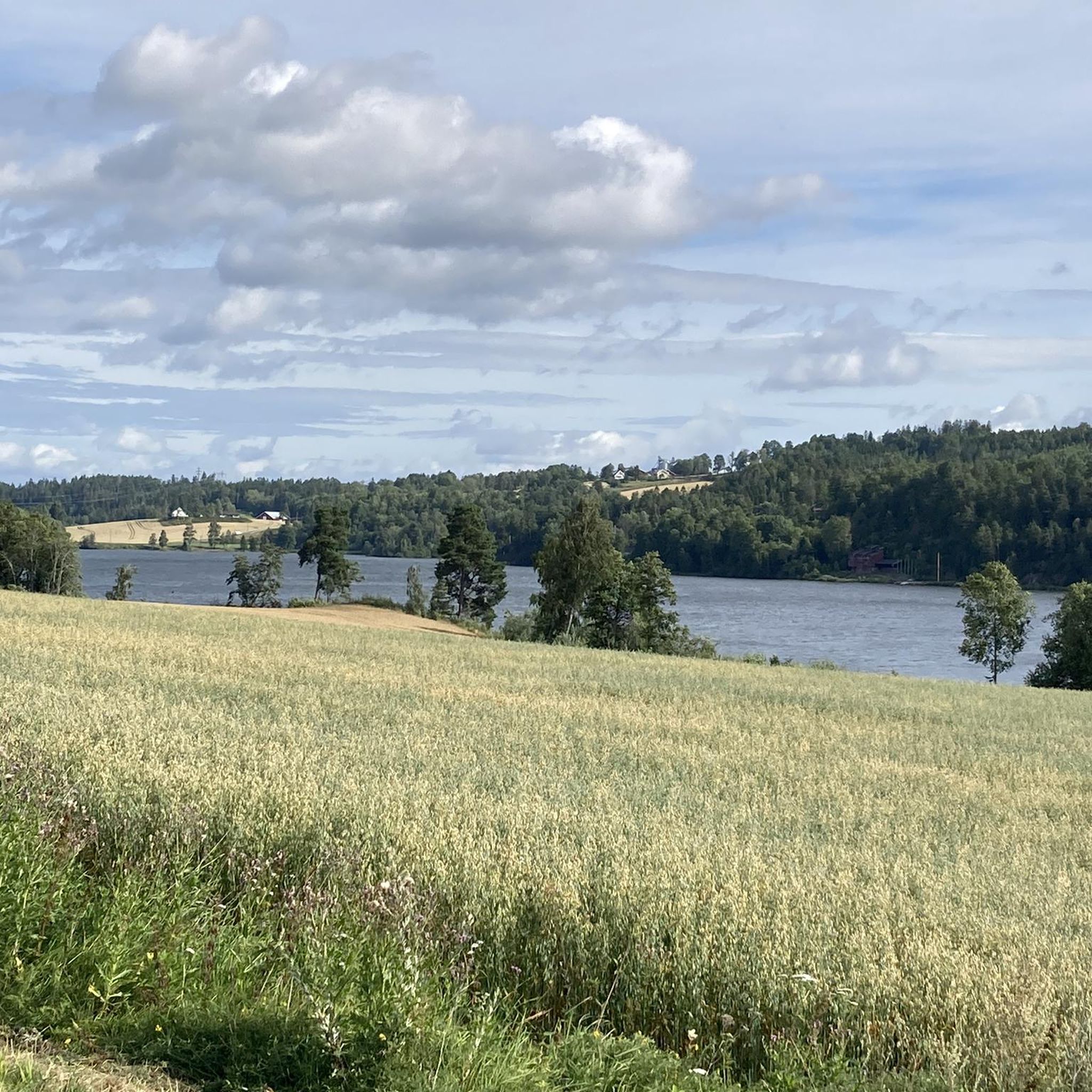
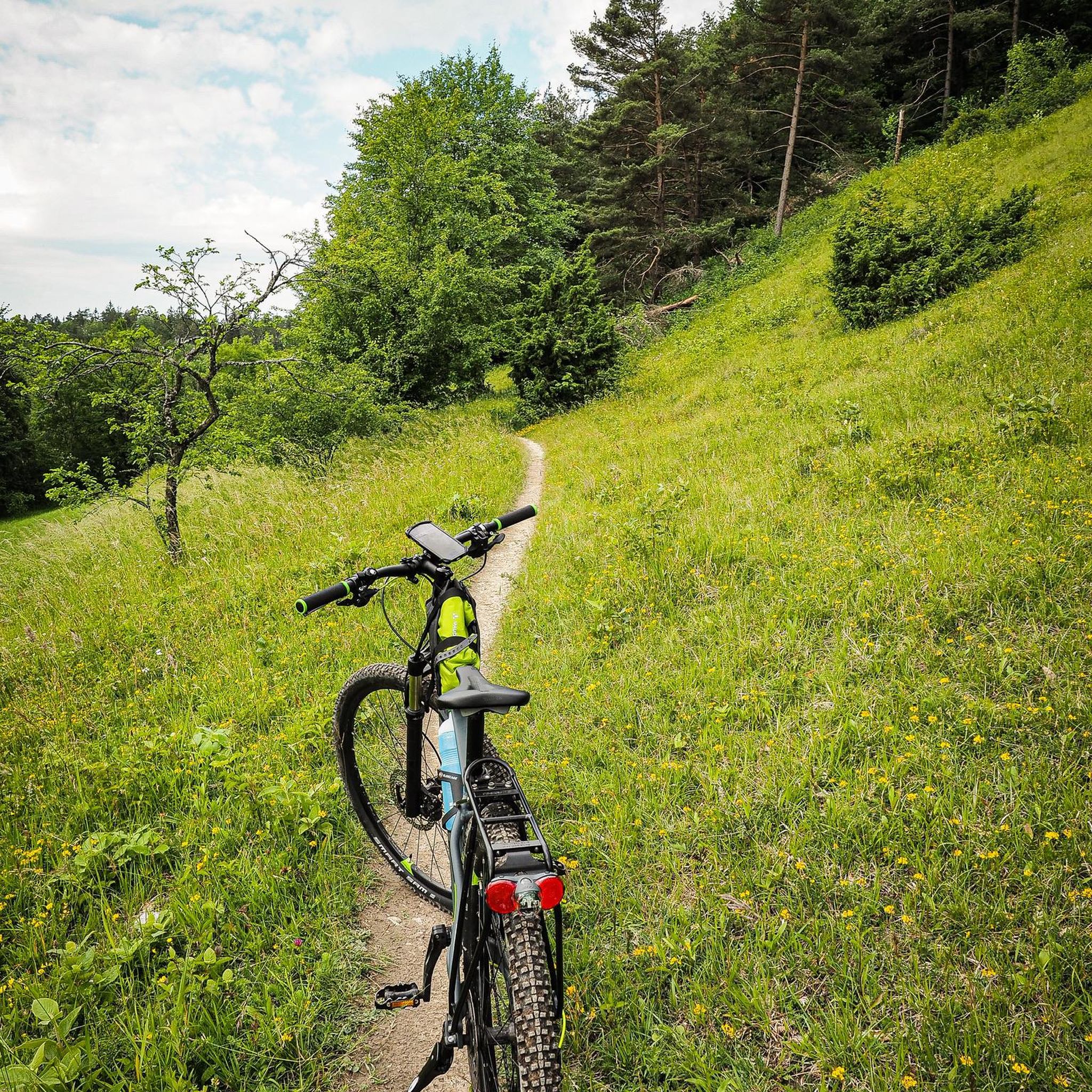
Mountain biking around Midtsjøvannet features diverse terrain within the Akershus region of Norway. The area is characterized by a mix of lush forests, open rocky expanses, and tranquil lakes. Trails often include significant elevation changes, traversing both dense woodlands and more exposed sections. This landscape provides varied and engaging experiences for mountain bikers.
Best mountain bike trails around Midtsjøvannet
- The most popular mountain bike trail is Grønnliåsen loop, a 21.5 miles (34.6 km) trail that takes 3 hours 10…
Last updated: June 26, 2026
3
riders
34.6km
03:10
510m
510m
Hard mountain bike ride. Good fitness required. Advanced riding skills necessary. Some portions of the route may require you to push your bike.
2
riders
39.1km
02:22
380m
380m
Moderate mountain bike ride. Good fitness required. Suitable for all skill levels.

Sign up for free
1
riders
29.3km
02:19
470m
470m
Hard mountain bike ride. Good fitness required. Advanced riding skills necessary. Some portions of the route may require you to push your bike.
4
riders
32.1km
03:04
540m
540m
Hard mountain bike ride. Good fitness required. Advanced riding skills necessary. Some portions of the route may require you to push your bike.
4.0
(1)
4
riders
29.0km
02:21
340m
340m
Moderate mountain bike ride. Good fitness required. Advanced riding skills necessary.
Get access to more routes and recommendations from other explorers.
Sign up for free
Already have an account?
Our route recommendations are based on thousands of hikes, rides, and runs completed by other people on komoot.
Start today with a free account
Your next adventure awaits.
Login or Signup
Tips from the Community

This section offers a brief escape into a small patch of forest surrounding the ski resort. It’s a pleasant trail that lets you enjoy a bit of nature right on the outskirts of town.
0
0

Situated in the heart of Østmarka, Vangen Ski Lodge serves as a central hub for hikers and skiers exploring the surrounding wilderness. The lodge overlooks the tranquil waters of Lake Mosjøen and is renowned for its traditional wooden architecture and welcoming atmosphere.
0
0

Majestic woodland views. There’s also an outlook post up ahead if you feel like getting a bird’s-eye view of it all.
0
0
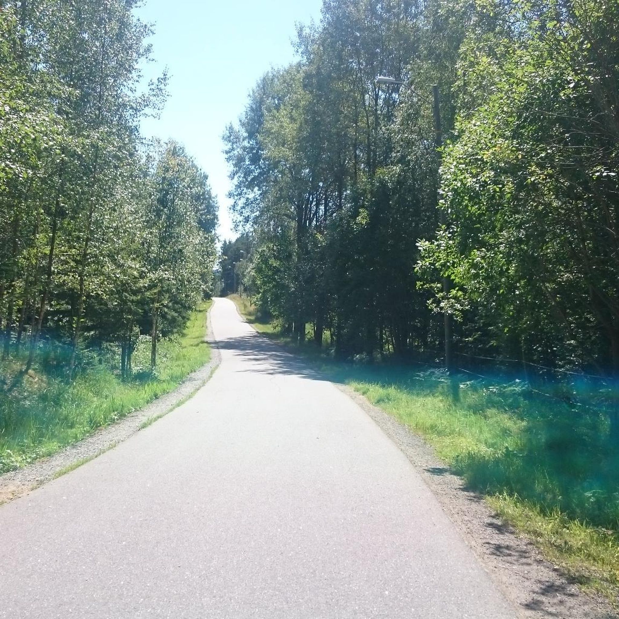
Very nice gravel hard pack, best consumed on a gravel rig but also enjoyable on a mountain bike.
0
0

A rewarding stop along a well-maintained forest path, offering stunning views over the Oslofjord. The stone steps make the climb easier, and the mix of open rock, pine trees, and wide water vistas makes this section of trail one to remember. A perfect spot to pause and enjoy the landscape.
0
0
A quiet bay with a small marina, where sailboats and wooden piers add to the charm of this peaceful corner of the Oslofjord. The calm shoreline is perfect for a break, with space to sit, watch the boats, or enjoy a snack by the water.
0
0
This beautiful white wooden church, built in 1904, sits peacefully among old oak trees and gravestones. Located right next to the main car park, it's a great starting point for exploring the forest trails around Svartskog. A quiet, atmospheric place to begin or end your hike.
0
0
A welcoming DNT cabin set in a beautiful open space near the Oslofjord, perfect for families, hikers, and day-trippers. With picnic areas, info boards, and access to nearby trails and swimming spots, Breivoll is a great base for exploring the surrounding coastline and forest paths.
0
0
Frequently Asked Questions
How many mountain bike trails are available around Midtsjøvannet?
There are over 20 mountain bike trails around Midtsjøvannet. These routes offer a diverse range of experiences, from moderate to difficult, traversing lush forests, rocky expanses, and tranquil lakes.
What is the general difficulty level of mountain bike trails in Midtsjøvannet?
The mountain bike trails around Midtsjøvannet primarily range from moderate to difficult. There are 11 moderate trails and 9 difficult trails, with a couple of easier options also available. This variety ensures that both experienced riders and those looking for a challenge will find suitable routes.
What kind of terrain can I expect on mountain bike trails around Midtsjøvannet?
You can expect a diverse terrain featuring a mix of lush forests, open rocky expanses, and tranquil lakes. Trails often include significant elevation changes, providing an engaging experience through both dense woodlands and more exposed sections.
Are there mountain bike trails suitable for beginners in Midtsjøvannet?
While many trails are moderate to difficult, there are a couple of easier mountain bike routes available around Midtsjøvannet. These trails are generally shorter and have less demanding elevation changes, making them suitable for those new to mountain biking or looking for a more relaxed ride.
Where can I find challenging mountain bike trails near Midtsjøvannet?
For challenging rides, consider trails like Grønnliåsen loop, which is 21.5 miles (34.6 km) long with significant elevation, or Lake in Østmarka – Forest Path in Østmarka loop from Blixtunnelen, a 32 km route with over 500 meters of ascent. These routes offer demanding terrain and are rated as difficult.
Are there any circular mountain bike routes around Midtsjøvannet?
Yes, many of the mountain bike routes around Midtsjøvannet are circular. Examples include the popular Grønnliåsen loop and the Flowy Descent Section loop from Kråkstad, allowing you to start and finish at the same point.
Can I find trails that offer scenic views or viewpoints?
The region around Midtsjøvannet is known for its picturesque landscape. While specific viewpoints are not detailed, the trails often traverse varied terrain including open rocky expanses and offer views of tranquil lakes and lush forests, providing many scenic moments during your ride.
What are the parking options for mountain biking in Midtsjøvannet?
Parking availability varies by trailhead. Many trailheads in the broader Akershus region, where Midtsjøvannet is located, offer designated parking areas. It is advisable to check specific route details on komoot for information on parking at the start of your chosen trail.
Is public transport an option to reach mountain bike trailheads?
Public transport options to reach trailheads around Midtsjøvannet may be limited, as many routes start in more natural or rural areas. However, some routes might be accessible from towns like Ski or Kråkstad, which have public transport connections. We recommend checking local bus or train schedules for specific access points.
When is the best time of year to go mountain biking in Midtsjøvannet?
The best time for mountain biking in Midtsjøvannet is typically during the warmer months, from late spring to early autumn (May to October), when trails are dry and free of snow and ice. During winter, conditions can be challenging due to snow and freezing temperatures.
Are there family-friendly mountain bike trails in Midtsjøvannet?
While many trails are moderate to difficult, there are a few easier routes that could be suitable for families with some mountain biking experience. These trails generally have less steep climbs and descents. Always check the difficulty grade and distance of a route before heading out with family.
Are dogs allowed on the mountain bike trails around Midtsjøvannet?
Norway's 'allemannsretten' (right to roam) generally allows public access to nature. This means dogs are often permitted on trails, but they must be kept on a leash, especially during certain times of the year (e.g., nesting season for birds, or when livestock are present). Always ensure your dog is under control and that you clean up after them.
What do other mountain bikers say about the trails in Midtsjøvannet?
The mountain bike routes in Midtsjøvannet are highly rated by the komoot community, with an average score of 4.0 stars from more than 3 reviews. Riders often praise the diverse terrain, the engaging mix of forests and open sections, and the overall quality of the riding experience in the Akershus region.
Most popular routes around Midtsjøvannet

Get inspired with the komoot mobile app


Explore more
Browse the best MTB trails in other regions.
