The best walks and hikes around Vestre Fyllingen
4.5
(12)
332
hikers
15
hikes
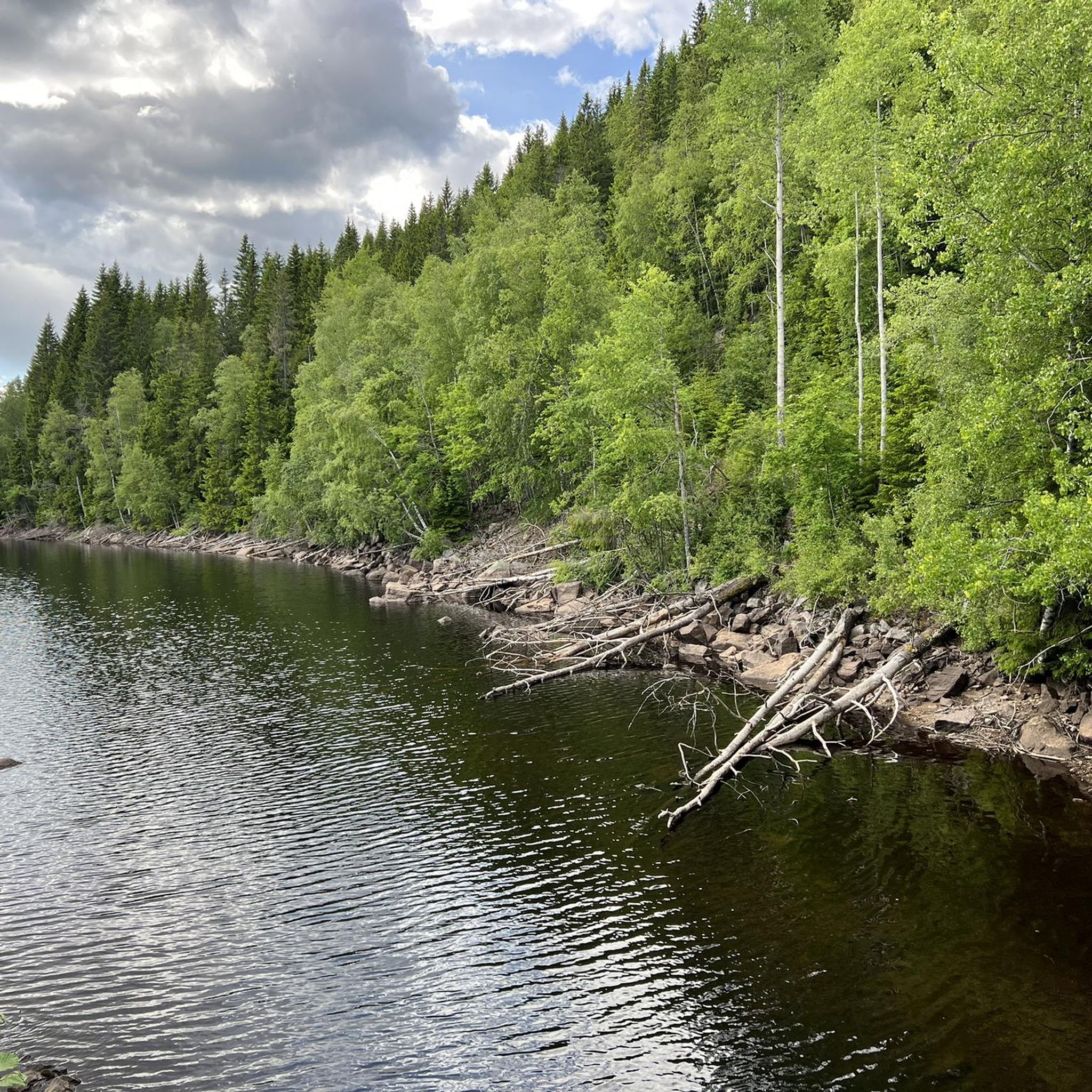
Hiking around Vestre Fyllingen offers a network of trails within the expansive Nordmarka forest region, north of Oslo. The area is characterized by lush evergreen forests, small hills, and varied terrain, with Vestre Fyllingen itself being a lake situated 349 meters above sea level. This location provides a classic Scandinavian woodland hiking experience, connecting to a comprehensive trail system. The landscape includes picturesque waterside views and opportunities to encounter diverse flora and fauna.
Best hiking trails around Vestre Fyllingen
- The…
Last updated: July 12, 2026
3.0
(1)
103
hikers
9.43km
02:48
280m
280m
Moderate hike. Good fitness required. Easily-accessible paths. Suitable for all skill levels.
5.0
(1)
17
hikers
20.4km
05:50
480m
480m
Hard hike. Very good fitness required. Easily-accessible paths. Suitable for all skill levels.

Sign up for free
16
hikers
6.58km
01:56
200m
200m
Easy hike. Great for any fitness level. Easily-accessible paths. Suitable for all skill levels.
13
hikers
12.9km
03:45
340m
340m
Moderate hike. Good fitness required. Easily-accessible paths. Suitable for all skill levels.
7
hikers
19.3km
05:29
420m
420m
Hard hike. Very good fitness required. Easily-accessible paths. Suitable for all skill levels.
Get access to more routes and recommendations from other explorers.
Sign up for free
Already have an account?
Our route recommendations are based on thousands of hikes, rides, and runs completed by other people on komoot.
Start today with a free account
Your next adventure awaits.
Login or Signup
Popular around Vestre Fyllingen

Tips from the Community

Friendly staff, good food, just a very nice place to rest after a ride. Includes a splash in the lake or sauna inhouse. Staying a night or two makes totally sense since Nordmarka is an endless gravel paradise
0
0

Well-known and very nice sports hall in Nordmarka
0
0

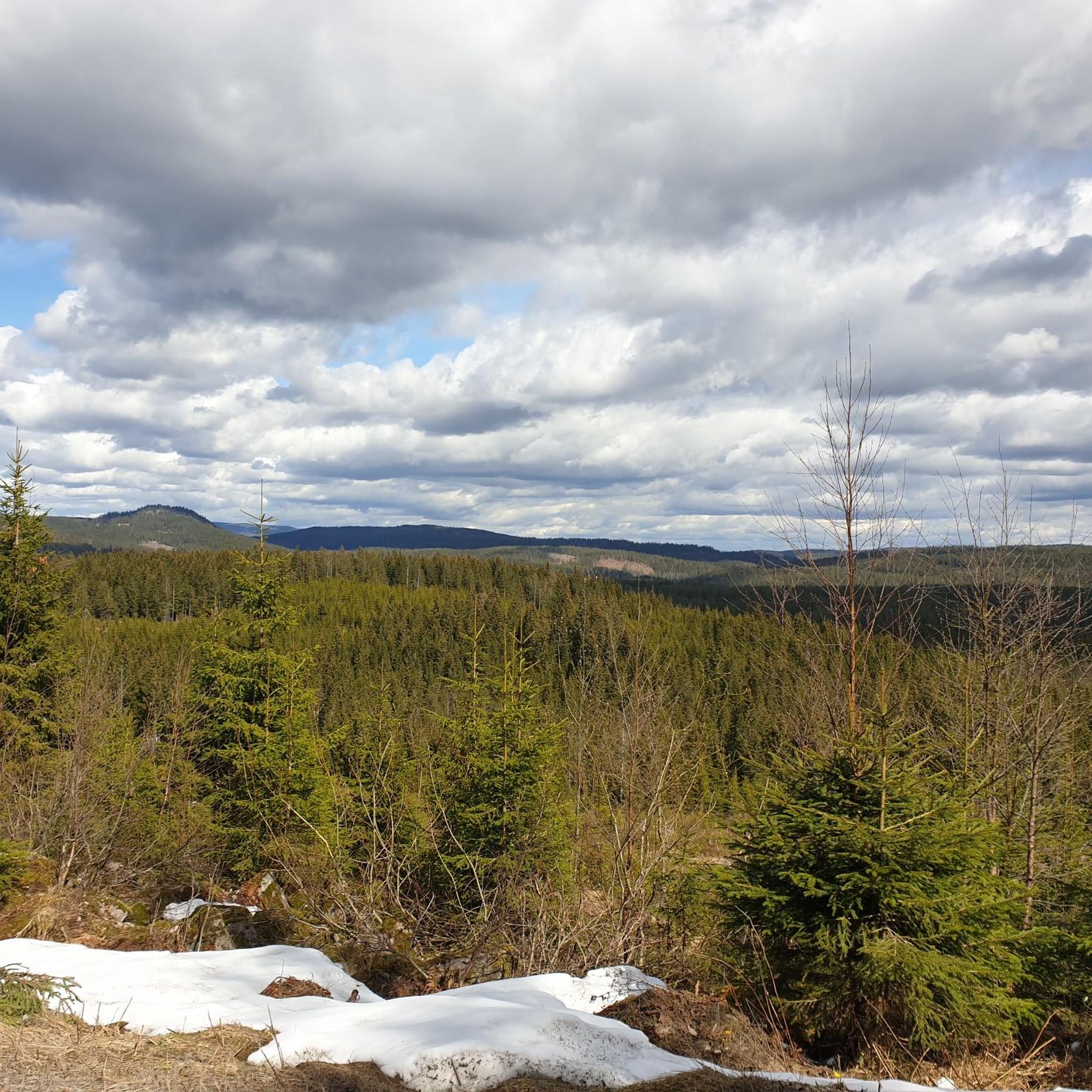
Enjoy the view of the forests and rolling hills from here.
0
0


If the café is closed, there is usually coffee and buns for sale in the self-service room to the right of the entrance.
0
0

a place with a beautiful landscape where we find a corner to eat and sleep.
0
0
Frequently Asked Questions
What kind of terrain can I expect when hiking around Vestre Fyllingen?
The trails around Vestre Fyllingen are characterized by lush evergreen forests, small hills, and varied terrain. You'll find picturesque waterside views around the lake itself, and the wider Nordmarka region offers a classic Scandinavian woodland hiking experience with opportunities to encounter diverse flora and fauna.
Are there easy hiking options suitable for beginners or casual walkers?
Yes, Vestre Fyllingen offers trails for various ability levels. For an easier option, consider the Finnerud Farm loop from Sørkedalen, which is 4.1 miles (6.6 km) and leads through varied woodland, typically completed in under two hours.
Are there any circular hiking routes around Vestre Fyllingen?
Many of the trails in the area are designed as loops, allowing you to start and end at the same point. Examples include the popular Kobberhaughytta loop from Sørkedalen, a moderate 5.8-mile (9.4 km) trail, and the longer Kikutstua – Kikutstua Café loop from Sørkedalen, which is a difficult 12.6-mile (20.4 km) path.
Are the hiking trails around Vestre Fyllingen suitable for families with children?
Yes, the extensive trail network includes options suitable for families. While some routes feature significant elevation gain, there are also more gentle and fairly flat routes, particularly the shorter loops through the woodlands, that can be enjoyed by children.
Can I bring my dog on the trails around Vestre Fyllingen?
The Nordmarka region, where Vestre Fyllingen is located, generally welcomes dogs on trails. However, it's always recommended to keep dogs on a leash, especially during nesting seasons or when encountering wildlife, and to check local regulations for any specific restrictions.
Are there places to rest or get refreshments along the trails?
Yes, Vestre Fyllingen itself features a designated resting place. Additionally, the area is in proximity to Kikutstua, a well-known cabin centrally located by Bjørnsjøen. Kikutstua offers food, drinks, and warmth from a fireplace, making it an excellent resting spot for hikers. Routes like the Kikutstua – Kikutstua Café loop from Sørkedalen connect directly to this amenity.
What is the best time of year to hike around Vestre Fyllingen?
The hiking season typically runs from spring through autumn, offering lush green forests and pleasant temperatures. The area is also popular in winter for cross-country skiing, but hiking conditions will depend on snow and ice. For the best hiking experience, aim for late spring to early autumn.
How can I get to the Vestre Fyllingen hiking trails by public transport?
Vestre Fyllingen is part of the Nordmarka forest region north of Oslo. While specific public transport connections directly to Vestre Fyllingen might be limited, many routes start from areas like Sørkedalen, which can be accessed by bus from Oslo. From Sørkedalen, you can connect to the extensive trail network leading towards Vestre Fyllingen.
Is there parking available for hikers near Vestre Fyllingen?
Many popular trailheads in the Nordmarka region, including those leading towards Vestre Fyllingen from areas like Sørkedalen, offer parking facilities. It's advisable to check specific starting points for parking availability and any potential fees before your hike.
What do other hikers say about the trails around Vestre Fyllingen?
The trails around Vestre Fyllingen are highly rated by the komoot community, with an average score of 3.7 stars from 8 reviews. Hikers often praise the serene lake environment, the extensive and well-maintained trail system, and the diverse routes available within the natural beauty of Nordmarka.
Are there any viewpoints or notable natural features along the trails?
While Vestre Fyllingen itself offers picturesque waterside views, the wider Nordmarka area is known for its breathtaking panoramic views from higher points. Routes like the Kobberhaughytta – View of Bjørnsjøen loop from Sørkedalen may offer opportunities for scenic overlooks as you ascend through the varied terrain.
How many hiking trails are available around Vestre Fyllingen?
There are over 15 hiking trails available around Vestre Fyllingen, offering a wide range of options from easy walks to more challenging ascents. This extensive network ensures there's a suitable route for almost every hiker.
Is Vestre Fyllingen suitable for winter hiking or other winter activities?
While primarily known for hiking in warmer months, the Nordmarka region transforms into a popular destination for cross-country skiing in winter. Some trails may be suitable for winter hiking depending on snow conditions, but proper winter gear and awareness of conditions are essential.
What should I wear or bring for hiking in Vestre Fyllingen?
Given the varied terrain and potential for changing weather in the Nordmarka forest, it's advisable to wear layers of comfortable, moisture-wicking clothing. Sturdy hiking boots are recommended. Always bring water, snacks, a map or GPS device, and rain gear, especially for longer routes like the Kobberhaughytta – Fire Pit at Kopperhaugene loop from Sørkedalen.
Most popular routes around Vestre Fyllingen

Get inspired with the komoot mobile app


Explore more
Browse the best Hikes in other regions.
