The best road cycling routes in Luzerne County
5.0
(13)
219
riders
37
rides
Road cycling in Luzerne County offers a diverse landscape characterized by river valleys, former railroad beds, and extensive state park lands. The region features a network of paved multi-use trails and scenic road routes, many following the Susquehanna River or winding through forests and wetlands. This varied terrain provides options for road cyclists of all skill levels, from relatively flat paths to routes with significant elevation changes.
Best road cycling routes in Luzerne County
- The most popular road cycling route is Harveys Lake loop, a 16.6 miles (26.7 km) trail that takes 1 hour 16 minutes to complete. This easy route circles the scenic Harveys Lake.
- Another top favourite among local road cyclists is Nescopeck State Park loop, a moderate 19.7 miles (31.8 km) path. This route offers views of forests, wetlands, and Lake Frances within the state park.
- Local road cyclists also love the Ricketts Glen and Worlds End State Park metric century loop, a 65.9 miles (106.1 km) trail leading through varied state park terrain, often completed in about 5 hours 13 minutes.
- Road cycling in Luzerne County is defined by scenic river views, former railroad beds, and diverse state park landscapes. The network offers options for different ability levels, from easy loops to challenging long-distance rides.
- The guide includes highly-rated routes that showcase the best of the region's landscape. More than 100 road cyclists have used komoot to explore Luzerne County's varied terrain.
Last updated: September 27, 2026
10
riders
26.7km
01:16
230m
230m
You can enjoy a relaxed road cycling experience on the Harveys Lake loop, an easy route spanning 16.6 miles (26.7 km). This ride offers panoramic lakefront views of Harveys Lake, the largest natural lake in Northeastern Pennsylvania. You will gain 750 feet (228 metres) in elevation over an estimated 1 hour and 16 minutes, making it accessible for many riders. The well-paved surfaces ensure a smooth journey, allowing you to soak in the blend of natural beauty and the friendly, small-town atmosphere.
Planning your visit is straightforward, as parking is typically available in the Harveys Lake area, making it convenient to start your ride. The route's mostly well-paved surfaces contribute to its easy difficulty rating, suitable for most cyclists. Consider visiting during autumn to witness the beautiful fall foliage that surrounds the lake, adding another layer of scenic charm to your outing.
This loop is a popular choice for outdoor recreation in Luzerne County, drawing visitors who appreciate its scenic beauty and gentle challenge. The presence of Harveys Lake, as the region's largest natural lake, makes this route a distinctive feature of the local landscape. It offers a perfect escape for those seeking a peaceful ride with consistent lakeside vistas.
4
riders
33.4km
01:30
370m
370m
Cycle the BicyclePA Route L Loop, a moderate 20.7-mile road cycling route in Pinchot State Forest with 1214 feet of gain.

2
riders
48.3km
02:43
330m
330m
The Susquehanna and Lackawanna Rivers loop offers a unique road cycling experience, weaving through river valleys, forests, and urban landscapes. You'll ride along the scenic Lackawanna River, passing historic railbeds and industrial landmarks that tell the story of the region's past. The route features diverse terrain, from smooth paved sections to crushed stone, providing a varied and engaging ride for those who enjoy a mix of surfaces.
This moderate 30.0-mile (48.3 km) loop involves about 1084 feet (330 metres) of elevation gain and typically takes around 2 hours and 43 minutes to complete. While much of it is suitable for road bikes, be aware that some segments, particularly those integrated with the broader Lackawanna River Heritage Trail, might be unpaved. It's a great option for cyclists of various fitness levels looking for a substantial ride with interesting features.
Part of a larger trail system, this loop showcases the blend of natural beauty and rich industrial heritage found in Pennsylvania. You'll find opportunities to explore historic sites and enjoy river views, making it more than just a ride. The extensive Lackawanna River Heritage Trail, which forms sections of this loop, connects numerous communities and offers a valuable community asset for outdoor activities.
2
riders
31.8km
01:43
410m
400m
The Nescopeck State Park loop offers a scenic road cycling experience, taking you through a diverse landscape of dense woodlands and rolling hills. As you ride, you'll get comprehensive views of the park's varied scenery, including wetlands, rich forests, and glimpses of Lake Frances, all while nestled between Mount Yeager and Nescopeck Mountain. The route provides a great way to appreciate the natural beauty of Luzerne County from the saddle.
This moderate 19.7 miles (31.8 km) road cycling route features 1333 feet (406 metres) of elevation gain, typically taking about 1 hour and 43 minutes to complete. While largely well-paved, be prepared for some unpaved segments that add to the adventure. It's crucial to remember that this loop uses public roads around the park, as biking is not permitted on the internal trails of Nescopeck State Park itself.
This route stands out as an excellent option for road cyclists seeking a rewarding ride in the Nescopeck State Park area, offering a different perspective than the park's internal hiking trails. It's a popular choice for those looking for Nescopeck State Park bike routes that showcase the region's natural features and scenic views without venturing onto dedicated park trails.
2
riders
62.7km
02:42
430m
430m
The Wilkes-Barre to Scranton loop offers a fascinating road cycling journey through northeastern Pennsylvania, blending natural river views with urban landscapes. You'll trace the paths alongside the Susquehanna and Lackawanna Rivers, experiencing the changing scenery from river valleys to the heart of Scranton. This route provides a unique perspective on the region's character, making it a great option for those who enjoy varied terrain and a mix of environments on their bike.
Planning your ride on this 38.9-mile (62.7 km) loop, which involves 1399 feet (426 metres) of elevation gain and takes about 2 hours and 42 minutes, means preparing for a moderate challenge. The trail is mostly well-paved, but expect rolling hills that will test your endurance. While specific parking isn't detailed, you can typically find access points in either Wilkes-Barre or Scranton; starting early is advisable to make the most of your day.
This loop stands out as one of the best road cycling routes connecting these two significant cities, offering a defined moderate experience. It's a great way to explore the cycling infrastructure of the wider area, including sections like the Luzerne County Levee Trail. For cyclists looking for a substantial ride that combines natural beauty with a taste of urban exploration, this route provides a rewarding experience.
1
riders
25.7km
01:12
240m
240m
Enjoy an easy 16.0-mile road cycling loop from White Haven to the Frances Walter Dam, offering scenic views of the Poconos and the reservoir
106km
05:14
1,520m
1,520m
This difficult 66.0 miles (106.1 km) road cycling loop through Ricketts Glen and Worlds End State Parks offers challenging climbs and stunni
1
riders
33.4km
02:13
410m
410m
This road cycling route offers a delightful journey through the rolling hills and river valleys surrounding Wilkes-Barre, culminating in the tranquil beauty of Frances Slocum State Park. You'll pass through forested areas and enjoy views of the park's distinctive horseshoe-shaped lake, a serene 165-acre body of water. The varied terrain provides a dynamic ride, blending natural landscapes with a sense of exploration.
Planning your visit is straightforward, as the park is easily accessible from Wilkes-Barre. The route's road surfaces are generally well-maintained, suitable for road bikes. This moderate 20.8-mile (33.4 km) loop, with its 1361 feet (415 metres) of elevation gain, typically takes around 2 hours and 12 minutes to complete. It's an ideal choice for cyclists seeking a scenic workout without requiring an entire day.
What makes this Wilkes-Barre to Frances Slocum State Park cycling route particularly appealing is its blend of challenging segments and picturesque natural beauty. The area is known for its numerous state parks and lakes, offering a rich backdrop for outdoor activities. This specific loop provides a great opportunity to experience the region's diverse landscapes and enjoy a rewarding ride, combining physical activity with access to a beautiful natural landmark.
62.9km
03:01
700m
690m
The Hazleton to White Haven and Lehigh Gorge State Park loop offers a dynamic road cycling experience through the Pocono Mountains. You'll navigate rolling hills and dense forests on paved roads, then transition to the historic Lehigh Gorge Trail, where the scenery opens up to reveal the Lehigh River, dramatic rock cliffs, and even waterfalls like Buttermilk Falls. The route's 39.1 miles (62.9 km) and 2282 feet (695 metres) of elevation gain make it a moderate challenge, perfect for a rewarding day out.
Planning your ride, you should know that while much of the route is paved, sections within Lehigh Gorge State Park are hard-packed crushed gravel, sometimes with rougher or sandy spots, especially past Rockport. Wider tires are a good idea for these segments. The trail is particularly stunning in autumn when the fall foliage creates a vibrant display. Allow about 3 hours and 1 minute for this loop, and consider starting early to make the most of the daylight.
This loop is notable for its blend of road cycling and rail-trail adventure, following a historic corridor rich with remnants of coal mining and canal structures. The Lehigh Gorge Trail itself is part of the larger 165-mile Delaware & Lehigh (D&L) Trail system, offering options for extended exploration. You might even spot a scenic train running alongside the active railway for part of the ride, adding a unique touch to your journey.
68.9km
02:58
500m
500m
The Susquehanna Warrior Trail Loop offers a delightful road cycling experience, tracing the west bank of the Susquehanna River through a mix of quiet woods, green meadows, and riparian forests. You'll find yourself on a hard-packed crushed stone surface for much of the way, enjoying picturesque river views and glimpses of surrounding mountain peaks. Keep an eye out for local wildlife, including bald eagles and herons, as you pedal through shaded sections that offer a welcome reprieve on warmer days.
Planning your visit is straightforward, with several access points available. Susquehanna Riverlands Park is a popular starting point, offering amenities like picnic tables. This moderate 42.8-mile (68.9 km) route, with its 1630 feet (497 metres) of elevation gain, takes approximately 2 hours and 58 minutes, making it a substantial but rewarding ride. Leashed pets are welcome, so it's a great option for a family outing.
This trail is built on a reclaimed Delaware, Lackawanna and Western Railroad corridor, blending natural beauty with historical significance. Beyond the extensive riverside recreation, you can explore historical elements like the old North Branch Canal. The route also passes near local attractions such as the Garden Drive-In in Hunlock Creek and offers opportunities for food in the town of Shickshinny, making it a well-rounded adventure for road cycling enthusiasts.
Get access to more routes and recommendations from other explorers.
Already have an account?
Our route recommendations are based on thousands of hikes, rides, and runs completed by other people on komoot.
Start today with a free account
Your next adventure awaits.
Popular around Luzerne County

Road Cycling Routes around West Wyoming

Road Cycling Routes around Swoyersville
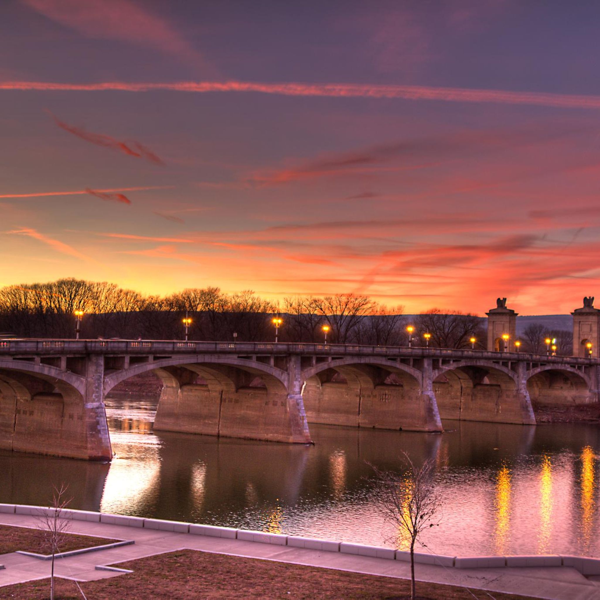
Road Cycling Routes around Wyoming
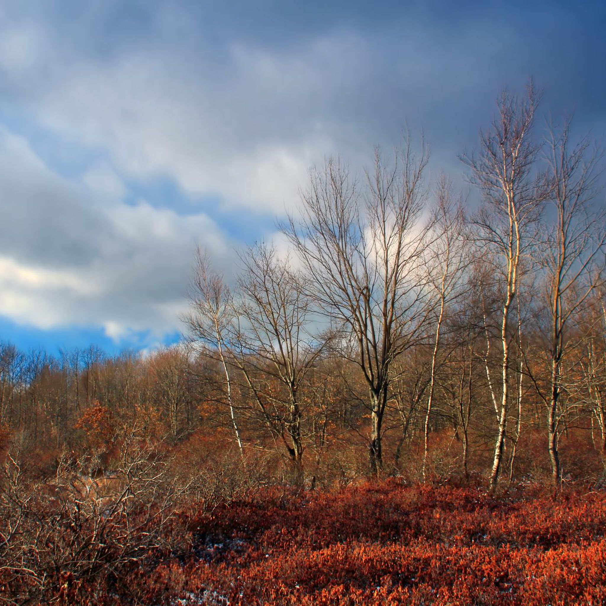
Road Cycling Routes in Pinchot State Forest
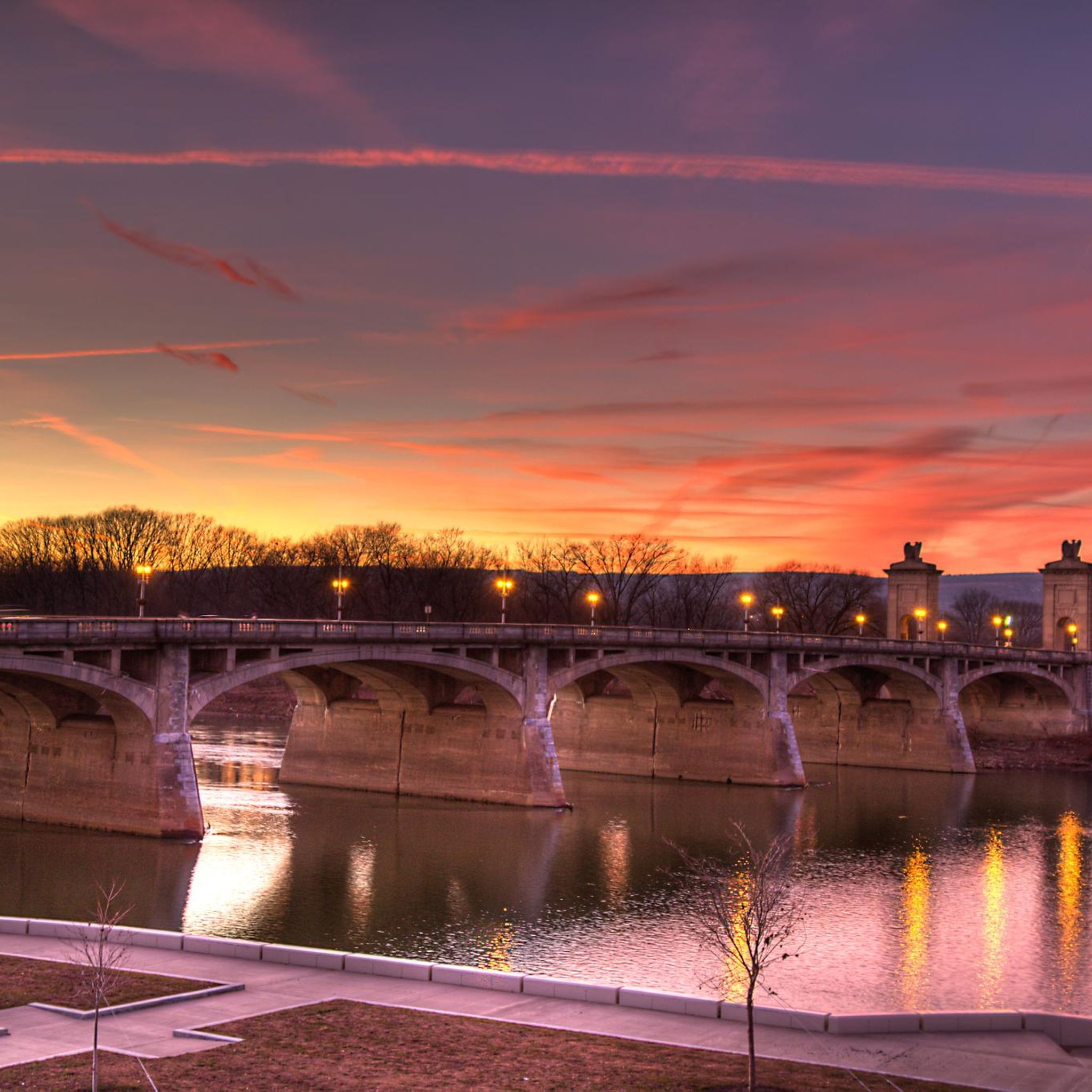
Road Cycling Routes around Forty Fort

Road Cycling Routes around Hilldale

Road Cycling Routes around Hudson

Road Cycling Routes around Laflin

Road Cycling Routes around Plains

Road Cycling Routes around Inkerman
Tips from the Community

This charming town is the northernmost starting point for Lehigh Gorge State Park. It is a popular destination due to its access to hiking and biking trails converted from former railway lines along the beautiful Lehigh River. There are several great local restaurants close to the trails, making it the perfect place to start and finish a hike through the breathtaking Lehigh Gorge.
0
0

Natural Lands' Bear Creek Preserve is nearly 4,000 acres of woodlands and stream valleys. It's home to a wide array of wildlife including black bear, gray foxes, and the endangered Northern flying squirrel. A dizzying array of birds makes the Preserve home, or a welcome stop along their migratory routes.
0
0
The nearby town of Falls gets its name from this set of waterfalls on the aptly named Buttermilk Falls Creek. Though quiet now, the area was once a bustling industrial area and a lot of that was due to the mills that were powered by the falls. You can access the lower falls, but the trail down can be very slippery so exercise caution.
1
0
Frances Slocum State Park is centered around a lake of the same name. The park is located in Luzerne County and offers visitors the chance to go fishing, kayaking, hiking, and mountain biking. There's also a large day use & picnic area.
1
0
Rockport serves as the central gateway to Lehigh Gorge State Park. The trail that runs through the gorge is beautiful and can be ridden on most bikes, as it's made up of well packed gravel/crushed rock. Even if you don't have the time or equipment to tackle the trail it's worth a short stop and walk to the two closest water falls, Buttermilk and Luke's Falls.
1
0
White Haven is named after Josiah White, who was instrumental in the transport of all the coal and lumber that was produced here in the early to mid 1800s. These days it's a quiet town by the Lehigh River and is a popular place to begin or end a journey through the Lehigh Gorge. Though the trail through the gorge isn't paved it's generally in decent shape and can be ridden on most bikes.
0
0
The Susquehanna River is major river in the Eastern United States. At 444 miles long it is the longest river along the East Coast and it has the 16th largest watershed of any river in the country. Throughout its course the river runs through wilderness and city areas, and there is plenty of opportunities for the public to enjoy the various recreational activities it offers.
1
0
Shickshinny Lake is a nice place to visit if you can gain access. It's a private lake for homeowners and their guests only. However, the road is a nice, quiet place to ride.
1
0
Frequently Asked Questions
How many road cycling routes are available in Luzerne County?
Luzerne County offers a wide variety of road cycling experiences, with over 35 routes available on komoot. These routes cater to all skill levels, from easy loops around lakes to challenging metric centuries through state parks.
What is the best time of year for road cycling in Luzerne County?
The spring, summer, and fall months are ideal for road cycling in Luzerne County. Fall is particularly scenic, with vibrant foliage transforming the landscapes of parks like Ricketts Glen and Nescopeck State Park into stunning backdrops for your ride.
Are there road cycling routes suitable for beginners or families?
Yes, Luzerne County has several excellent options for beginners and families. The Harveys Lake loop is an easy 16.6-mile route circling the scenic lake. Other multi-use trails like the Luzerne County Levee Trail and the Susquehanna Warrior Trail offer relatively flat, paved paths, perfect for a relaxed family outing.
Are there challenging road cycling routes for experienced riders?
Absolutely. For experienced riders seeking a challenge, the Ricketts Glen and Worlds End State Park metric century loop is a demanding 65.9-mile route with significant elevation changes through varied state park terrain. Routes like the Wilkes-Barre to Harvey's Lake and Frances Slocum State Park loop also offer substantial distances and climbs.
What scenic views or natural features can I expect on road cycling routes in Luzerne County?
Road cycling in Luzerne County offers diverse scenery, from river views along the Susquehanna to lush forests and wetlands within state parks. You can expect to see natural features like the deep gorge of Lehigh Gorge State Park, the unique Boulder Field in Hickory Run State Park, and the tranquil waters of Lake Frances in Nescopeck State Park.
Can I see waterfalls while road cycling in Luzerne County?
While most road cycling routes don't go directly through waterfall trails, several routes pass near areas known for waterfalls. Ricketts Glen State Park, famous for its 21 named waterfalls including Ganoga Falls, is accessible via the Ricketts Glen and Worlds End State Park metric century loop. You can also find waterfalls in Lehigh Gorge State Park and Bear Creek Preserve. Consider exploring the Waterfalls in Luzerne County guide for more details.
Are there any lakes or state parks accessible by road bike?
Yes, many road cycling routes in Luzerne County feature lakes and state parks. The Harveys Lake loop is a prime example. Other routes, like the Nescopeck State Park loop, offer views of Lake Frances. Frances Slocum State Park, centered around a horseshoe-shaped lake, is also featured on routes such as the Wilkes-Barre to Harvey's Lake and Frances Slocum State Park loop. For more information on lakes, refer to the Lakes in Luzerne County guide.
Where can I find parking for road cycling routes in Luzerne County?
Many of the multi-use trails and state parks in Luzerne County offer designated parking areas. For instance, the Luzerne County Levee Trail has various access points with parking in communities along the Susquehanna River. State parks like Nescopeck and Frances Slocum also provide visitor parking. Specific parking details for individual routes can often be found on their respective komoot tour pages.
Are there any multi-use trails suitable for road bikes in the region?
Luzerne County is home to several excellent multi-use trails perfect for road bikes. The Luzerne County Levee Trail (Susquehanna River Commons) offers 12 miles of paved path along the Susquehanna River. The Susquehanna Warrior Trail is another 12.5-mile paved and crushed stone path following an old railroad bed. Portions of the extensive D&L Trail are also suitable for road cycling, providing scenic river views and historical sites.
What kind of terrain can I expect on road cycling routes in Luzerne County?
The terrain for road cycling in Luzerne County is quite varied. You'll find relatively flat, paved paths along river levees and former railroad beds, ideal for leisurely rides. Other routes venture into rolling hills and more significant climbs, especially when traversing state parks and forested areas, offering challenges for more advanced cyclists. Expect a mix of smooth pavement and occasionally some well-maintained crushed stone sections on multi-use trails.
Are there any dog-friendly road cycling options?
While specific road cycling routes might have restrictions, many multi-use trails in Luzerne County are dog-friendly, provided your dog is on a leash. Trails like the Luzerne County Levee Trail and the Susquehanna Warrior Trail are popular for walking and cycling with leashed pets. Always check local regulations for specific trails or state parks before bringing your dog.
Where can I find cafes or amenities near road cycling routes?
Many road cycling routes in Luzerne County pass through or near towns and communities where you can find cafes, restaurants, and other amenities. Routes along the Susquehanna River, for example, often connect urban centers like Wilkes-Barre and Scranton, offering numerous options for refreshments. State parks typically have visitor centers with facilities, and some smaller towns along routes may have local eateries.
How long do road cycling routes typically take in Luzerne County?
The duration of road cycling routes in Luzerne County varies significantly based on distance and difficulty. Easy routes like the Harveys Lake loop (16.6 miles) can take around 1 hour 16 minutes. Moderate routes, such as the Susquehanna Warrior Trail Loop (42.8 miles), might take over 2 hours. Longer, more challenging routes like the Ricketts Glen and Worlds End State Park metric century loop (65.9 miles) can take over 5 hours to complete.
Most popular routes in Luzerne County
Most popular attractions in Luzerne County

Get inspired with the komoot mobile app


Didn’t find what you were looking for?
Check out more Road cycling routes throughout Luzerne County below and find the perfect route in your destination.
Explore more
Browse the best Road cycling routes in other regions.
