The best walks and hikes in Cumberland County
4.7
(117)
694
hikers
63
hikes
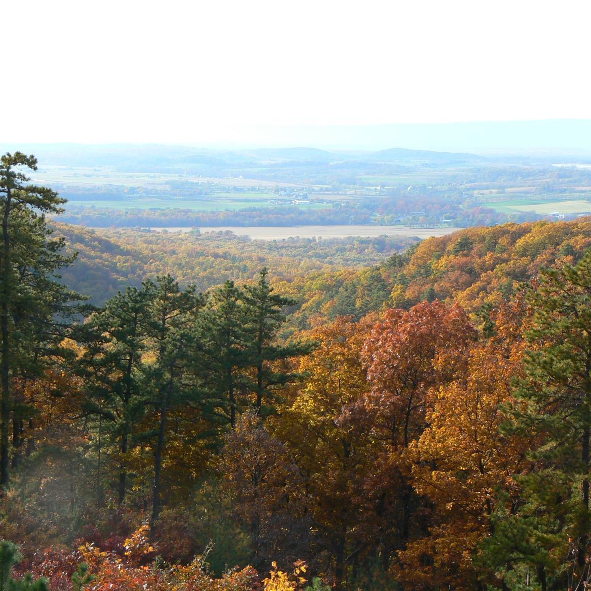
Hiking in Cumberland County, Pennsylvania, explores a landscape framed by the parallel ridges of South Mountain and Blue Mountain. The terrain is characterized by extensive forested areas, sections of the Appalachian Trail, and numerous state parks. The region features a mix of moderate climbs to rock outcroppings offering valley views, alongside flatter paths along former railway lines and creeks. This diverse topography provides varied hiking experiences across the county.
Best hiking trails in Cumberland County
- The most popular hiking route…
Last updated: September 27, 2026
19
hikers
3.90km
01:22
270m
130m
If you're seeking a rewarding hike with diverse terrain and stunning scenery, the Pole Steeple Trail delivers. This 2.4-mile (3.9 km) route, with its 880 feet (268 metres) of elevation…
14
hikers
3.15km
00:48
10m
0m
The Vincent DiFilippo Nature Preserve Loop offers a wonderfully accessible and easy 2.0-mile (3.1 km) hike, with a negligible 18 feet (5 metres) of elevation gain, making it a perfect…

5.0
(2)
8
hikers
12.3km
03:34
320m
320m
The Sunset Rocks and Appalachian Trail Loop is a moderate 7.6-mile (12.3 km) hike that delivers a true taste of Pennsylvania's rocky terrain, including a challenging rock scramble along Little…
5.0
(1)
9
hikers
10.7km
02:47
80m
80m
Embark on the Angler's Access Trail for a moderate hike that circles the scenic Opossum Lake, offering continuous water views. You will encounter varied terrain, from smooth paths to sections…
6
hikers
22.8km
06:11
380m
140m
This section of the Appalachian Trail from Boiling Springs to Route 850 offers a fascinating mix of Pennsylvania's rural beauty and rugged trail. You'll begin in the charming town of…
3
hikers
10.6km
03:01
240m
240m
Embark on the Lamb's Gap Trail, a moderate 6.6-mile (10.6 km) hike that takes you through a varied landscape. You will encounter rocky and rooty singletrack sections, as well as…
4
hikers
2.34km
00:36
10m
10m
Spring Meadows Park offers a wonderfully accessible and scenic escape, perfect for a leisurely outing. The main Spring Meadows Trail is a 1.5-mile (2.3 km) loop that winds through lush…
3
hikers
3.79km
01:09
200m
0m
Embark on an easy hike along the Cumberland Valley Overlook via Appalachian Trail, a 2.4-mile (3.8 km) out-and-back route that offers a rewarding experience. You will gain 641 feet (195…
3
hikers
4.11km
01:28
360m
50m
Embark on the Flat Rock Trail for a moderate hiking experience that takes you through a lush forest. This 2.6-mile (4.1 km) route involves a continuous uphill climb, gaining 1182…
3
hikers
7.56km
02:07
70m
290m
Embark on a moderate hike along the Appalachian Trail, stretching 4.7 miles (7.6 km) from Big Flat Tower to Tom's Run Shelter. You'll experience a gentle ascent, gaining 215 feet…
Get access to more routes and recommendations from other explorers.
Already have an account?
Our route recommendations are based on thousands of hikes, rides, and runs completed by other people on komoot.
Start today with a free account
Your next adventure awaits.
Popular around Cumberland County






Other adventures in Cumberland County

Tips from the Community

Nice spot to take a break and enjoy the view. You need to climb up onto the top of the rock, which is not very tall, to get the view, so make sure you are physically able to before attempting to get on the rock.
1
0
Great viewpoint from the Appalachian Trail. It gives you a wonderful vista of the Cumberland Valley.
0
0

Visitors to the museum can check out displays chronicling the trail's origins, development, and significance. There is information about historical hikers as well as the Appalachian Trail's natural surroundings. This Appalachian Trail museum is located almost exactly at the halfway point of the trail between Georgia and Maine.
0
0
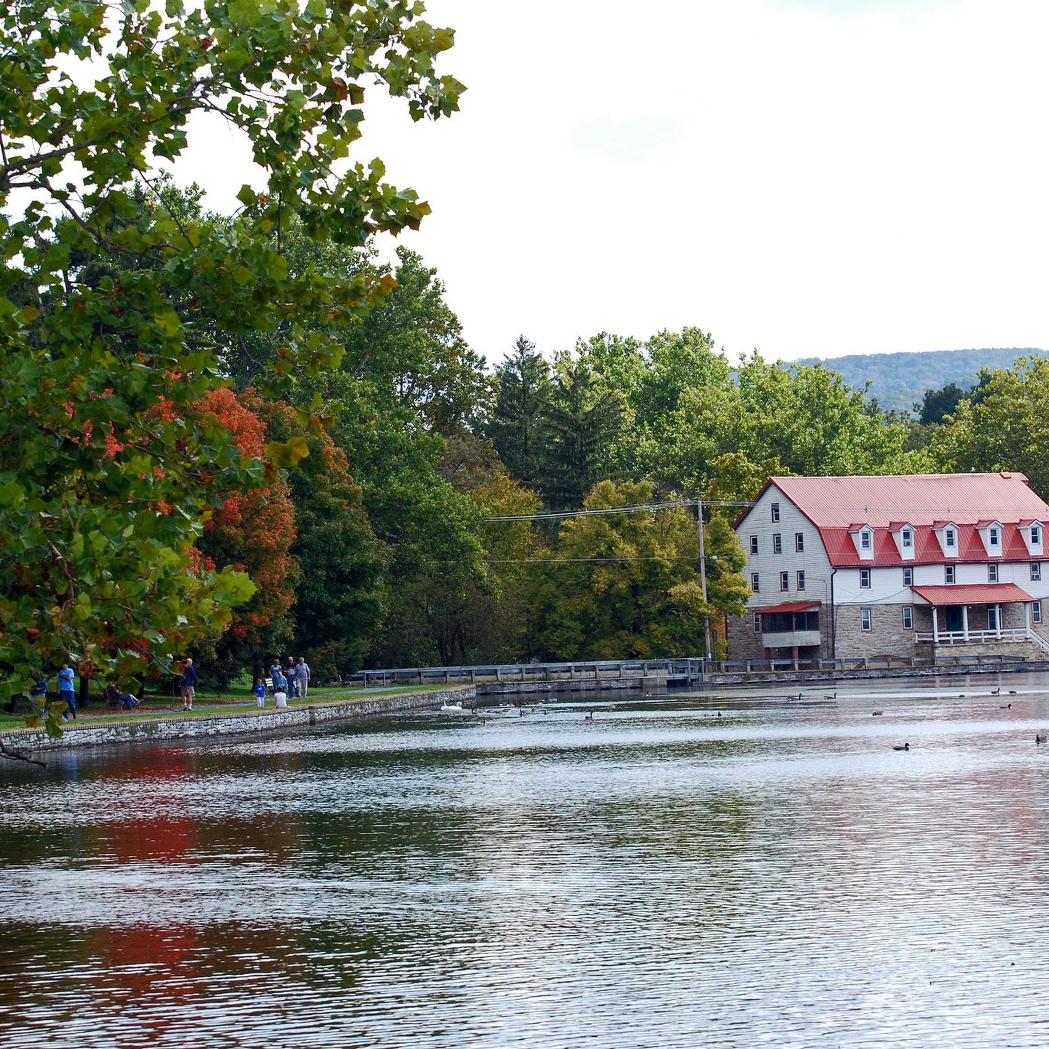
Children's Lake is a 7-acre man-made lake next to the edge of the town of Boiling Springs. It has a gazebo and benches, so it is a great place for a break.
0
0
Children's Lake is a 7-acre man made lake next on the edge of the town of Boiling Springs. It has a gazebo and benches, so it is a great place for a break.
1
0
Children's Lake is a 7-acre man made lake next on the edge of the town of Boiling Springs. It has a gazebo and benches, so it is a great place for a break.
0
0

Nice open overnight cabin on the Appalachian Trail.
0
0
At this point you have walked exactly half of the Appalachian Trail, 1090.5 miles to the south and the same number of miles to the north.
1
0
Frequently Asked Questions
Are there any easy, family-friendly hikes in Cumberland County?
Yes, the region offers several gentler options. A great choice is the Cumberland Valley Rail Trail — Shippensburg. It's a flat, wide path on a former railway line, making it perfect for a relaxed walk with the family.
What are the best hikes for scenic overlooks in the valley?
Cumberland County is famous for its rewarding viewpoints. For a spectacular 180-degree view of the valley, the Flat Rock loop via Flat Rock Trail is a local favorite that involves a steady, rocky climb. Another excellent option is the hike to Sunset Rocks via the Appalachian Trail, which provides beautiful vistas, especially later in the day.
Are dogs allowed on the hiking trails?
Generally, dogs are welcome on many trails in Cumberland County's state parks and forests, provided they are on a leash. However, policies can vary, especially in designated natural areas or on specific trails. It's always best to check the official park regulations for your chosen destination before you go.
What is the Appalachian Trail section like in Cumberland County?
The portion of the Appalachian Trail in this area is known for being relatively flat and less rocky compared to other sections in Pennsylvania, often described as a 'thru-hiker's dream.' You can experience a pleasant part of it on the walk to the charming trail town of Boiling Springs, which follows the trail with minimal elevation change.
I'm looking for a challenging day hike. What do you recommend?
For a more strenuous outing, consider the hike to Kings Gap Environmental Education Center via Buck Ridge Trail. At over 11 miles (18 km) with significant elevation gain, it's a demanding route that rewards you with access to the center's panoramic views from the historic mansion's patio.
How difficult is the Pole Steeple Trail?
The climb to Pole Steeple is short but very steep and rocky, requiring a bit of a scramble near the top. While challenging, it's a popular hike because the panoramic view of Laurel Lake and Pine Grove Furnace State Park is well worth the effort. You can tackle it as part of the Appalachian Trail Museum – Pole Steeple loop.
Are there any circular walks or loop trails available?
Yes, there are several excellent loop trails so you don't have to retrace your steps. A great example is the Kings Gap Environmental Education Center loop via Boundary Trail, which offers a varied, long-distance hike through the forest on the slopes of South Mountain.
What do other hikers think of the trails in Cumberland County?
The trails are highly regarded by the komoot community, with an average rating of 4.8 stars. Hikers frequently praise the well-maintained paths, the beautiful forested ridges, and the rewarding climbs to scenic rock outcroppings with expansive valley views.
Are there any long-distance hiking options in the area?
Absolutely. For those wanting to spend more time on the trail, the hike to the shelter at Tom's Run is a great out-and-back option covering over 9 miles (15 km). Another long route is the Appalachian Trail to Cumberland Valley Overlook, which is over 10 miles (16 km) and offers great views as a reward.
Can I get to the trailheads using public transport?
Most trailheads, especially those within state parks and state forests like Pine Grove Furnace and Kings Gap, are in rural locations and are not serviced by public transportation. To access the majority of hiking trails in Cumberland County, traveling by car is necessary.
Are there any waterfall hikes in Cumberland County?
While the region's creeks and lakes are beautiful, Cumberland County is more known for its forested mountain ridges and rocky overlooks than for significant waterfalls. Hikes here typically focus on gaining elevation for panoramic views of the valley rather than leading to waterfalls.
Most popular routes in Cumberland County
Most popular attractions in Cumberland County

Get inspired with the komoot mobile app


Didn’t find what you were looking for?
Check out more Hikes throughout Cumberland County below and find the perfect route in your destination.
Explore more
Browse the best Hikes in other regions.
