The best MTB trails around Vassbygdivatne
4.5
(186)
918
riders
3
rides
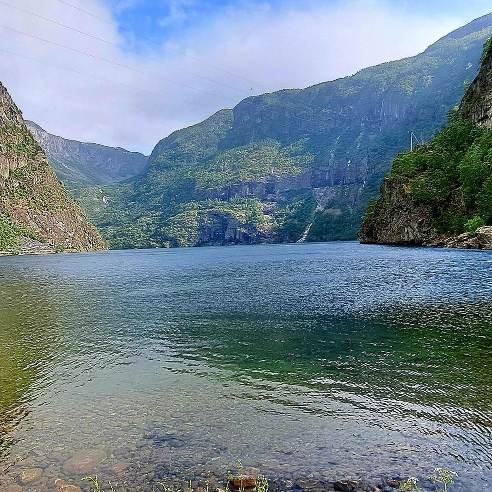
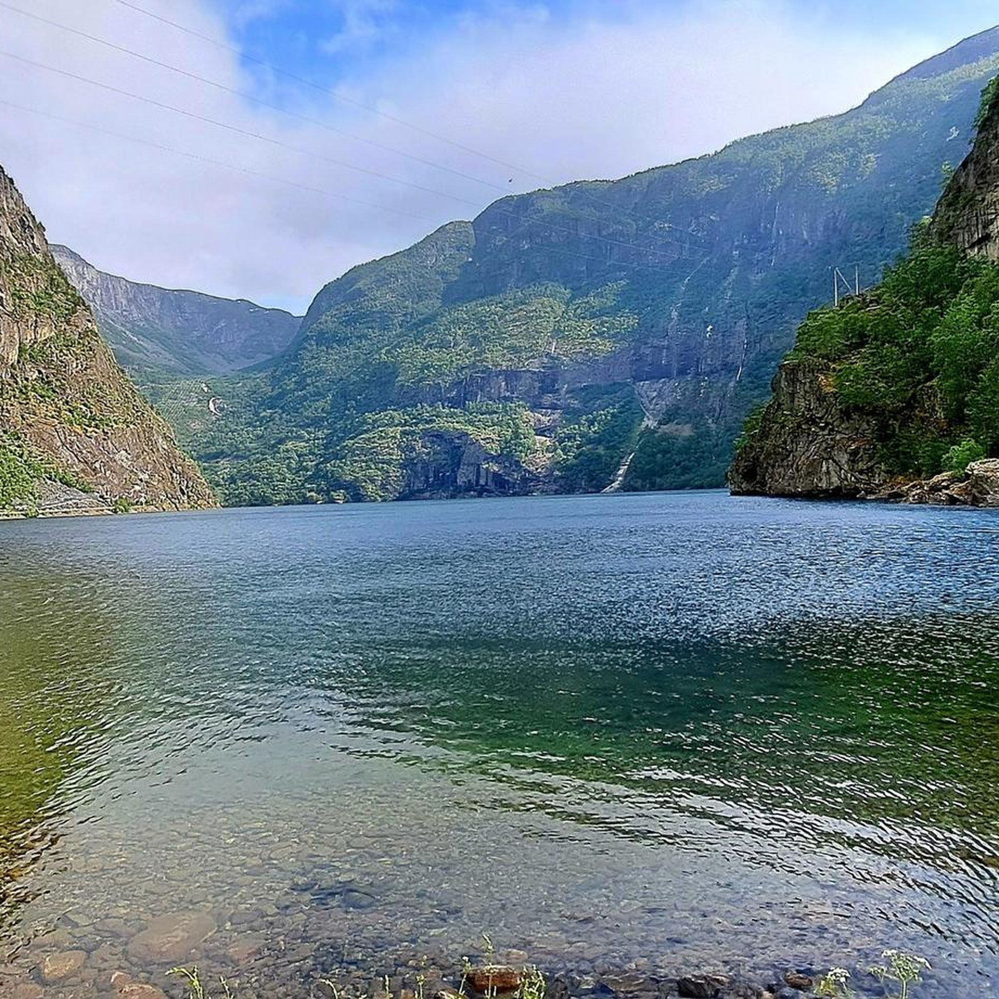
Mountain biking around Vassbygdivatne offers diverse terrain in the Sogn and Fjordane region of Norway. The area features a landscape characterized by fjords, dramatic waterfalls, and the Flåm River, providing varied backdrops for rides. Mountain bike trails in Vassbygdivatne include routes with significant elevation gains and descents, as well as flatter paths around the lake. The region's mountainous environment ensures panoramic vistas and challenging climbs.
Best mountain bike trails around Vassbygdivatne
- The most popular mountain bike trail is View of…
Last updated: June 26, 2026
4.8
(59)
238
riders
55.1km
04:28
1,370m
1,370m
Hard mountain bike ride. Very good fitness required. Suitable for all skill levels.
4.0
(2)
12
riders
Moderate mountain bike ride. Good fitness required. Suitable for all skill levels.

Sign up for free
12
riders
15.6km
00:53
120m
120m
Easy mountain bike ride. Great for any fitness level. Suitable for all skill levels.
4.8
(115)
582
riders
30.8km
02:52
990m
990m
Hard mountain bike ride. Very good fitness required. Suitable for all skill levels.
5.0
(3)
23
riders
17.2km
01:13
320m
320m
Moderate mountain bike ride. Good fitness required. Suitable for all skill levels.
Our route recommendations are based on thousands of hikes, rides, and runs completed by other people on komoot.
Start today with a free account
Your next adventure awaits.
Login or Signup
Tips from the Community

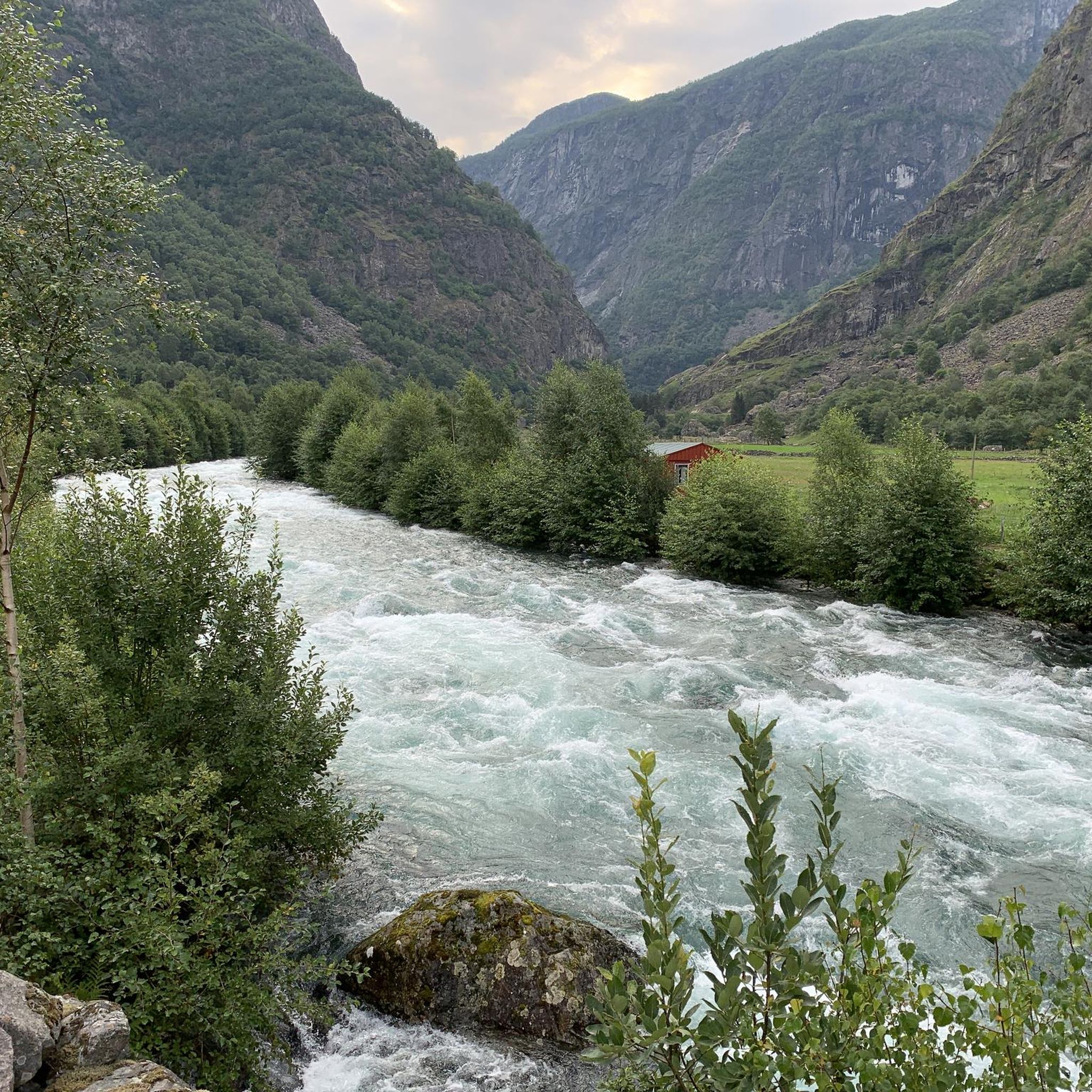
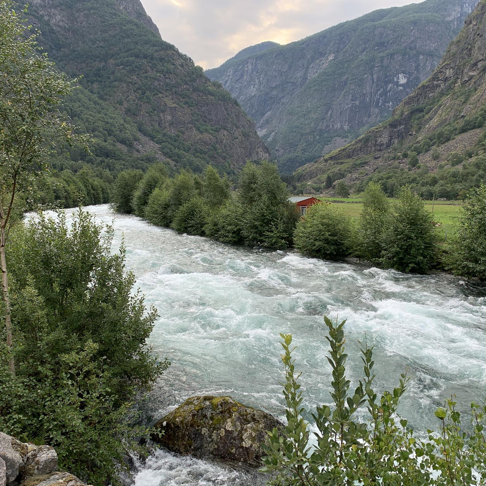
Here, too, one can see the enormous power of water.
0
0

very Nice place, but to many busses and tourists on the road up and down to Aurlandsvangen.
0
0

Mega view of the Aurlandfjord, especially a reward if you have hiked up here
0
0

End and start station of the Flam Railway. The museum is open daily from 11:00 am. The train ride is worth it. You can also take a ride and then hike back.
1
0
Located right on the side of the road.
0
0
Small church with an adjacent cemetery. Easily accessible from the fjord.
0
0

The front part of this locomotive belongs to the "Flam Railway Museum" and invites you to visit.
1
0
typical Norwegian chapel with "god's acre"
2
0
Frequently Asked Questions
What kind of terrain can I expect on mountain bike trails around Vassbygdivatne?
The terrain around Vassbygdivatne is highly varied, characterized by Norway's dramatic fjords, waterfalls, and mountainous landscapes. You'll find everything from flatter paths around the lake to routes with significant elevation gains and descents, offering panoramic vistas. Some of the more challenging routes may even require pushing your bike on steeper sections.
Are there mountain bike trails suitable for beginners or those looking for an easy ride?
Yes, there are accessible trails perfect for a quick and scenic ride. For an easier option, consider the Flåm Harbor – View of Flåm loop from Aurlandsvangen, which is about 15.6 km long with minimal elevation gain.
Where can I find mountain bike trails with significant climbs and rewarding views?
For a moderate challenge with expansive fjord views, the Stegastein, Aurlandsfjellet – Stegastein Viewpoint loop from Aurland IV (Vangen) kraftverk is an excellent choice. This 20.4 km route includes substantial climbing towards the famous Stegastein viewpoint.
Are there any long and challenging mountain bike routes for experienced riders?
Experienced riders looking for a demanding adventure can tackle routes like the View of Waterfall – Rapids of the Flåm River loop from Aurlandsvangen. This difficult 55 km trail features over 1300 meters of elevation gain and offers views of the Flåm River rapids. Another challenging option is the 65.2 km Flåm Church – Rapids of the Flåm River loop from Lunden, which includes over 1700 meters of climbing.
What natural features or landmarks can I expect to see along the mountain bike trails?
The trails around Vassbygdivatne are rich in natural beauty. You can expect to see dramatic waterfalls, the rapids of the Flåm River, and the stunning Aurlandsfjord. Many routes offer panoramic vistas from elevated points like the Stegastein viewpoint, showcasing the majestic mountains and deep valleys characteristic of the Sogn and Fjordane region.
What do other mountain bikers say about the trails in Vassbygdivatne?
The mountain biking routes in Vassbygdivatne are highly rated by the komoot community, with an average score of 4.8 stars from over 170 reviews. Users frequently praise the diverse terrain, stunning natural scenery, and the variety of options available for different skill levels.
Are there any circular mountain bike routes around Vassbygdivatne?
Yes, many of the mountain bike routes in the area are designed as loops, allowing you to start and finish at the same point. Examples include the Flåm Harbor – View of Flåm loop and the Stegastein, Aurlandsfjellet – Stegastein Viewpoint loop.
What is the typical duration for mountain bike tours in this region?
The duration varies significantly based on the trail's difficulty and length. An easy ride like the Flåm Harbor – View of Flåm loop can be completed in under an hour, while more demanding routes such as the 55 km View of Waterfall – Rapids of the Flåm River loop typically take over 4 hours.
How many mountain bike trails are documented around Vassbygdivatne?
There are several mountain bike trails documented around Vassbygdivatne, offering a range of experiences from easy to difficult. The komoot community has explored these routes extensively, with over 800 mountain bikers using komoot to navigate the varied terrain.
What kind of elevation changes should I expect on the trails?
Elevation changes vary greatly. Easy trails might have around 120 meters of ascent, while moderate routes can involve over 800 meters of climbing. The most challenging trails feature significant elevation gains, exceeding 1300 meters, providing strenuous climbs and exhilarating descents.
Are there any routes that pass by the Flåm River or its rapids?
Yes, several routes offer views of the Flåm River and its rapids. The View of Waterfall – Rapids of the Flåm River loop from Aurlandsvangen is specifically named for this feature, providing a scenic and challenging ride along the river.
Most popular routes around Vassbygdivatne

Get inspired with the komoot mobile app


Explore more
Browse the best MTB trails in other regions.
