The best running trails in Stanislaus County
5.0
(1)
73
runners
18
runs
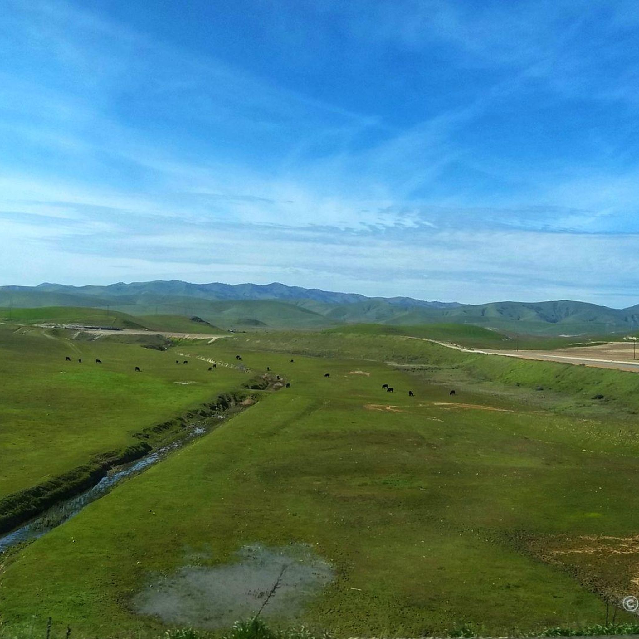
Jogging in Stanislaus County offers a diverse range of landscapes, from the flat riverside paths of the Central Valley to the rolling hills and forested areas of the Sierra Nevada foothills. The region is characterized by its riparian woodlands along the Stanislaus and Tuolumne Rivers, expansive grasslands, and oak-dotted terrain. These varied environments provide numerous opportunities for runners of all abilities to explore the natural beauty of the area.
Best jogging routes in Stanislaus County
- The most popular jogging route is Wagon Road and Tule Pond Trail Loop, a 3.1 miles (5.0 km) trail that takes 39 minutes to complete. This moderate route offers scenic views within Henry W. Coe State Park.
- Another top favourite among local runners is Mississippi Lake and Willow Ridge Road Loop, a moderate 3.2 miles (5.1 km) path. This trail winds through varied terrain, including lake views and woodlands.
- Local runners also love the Coit Lake Loop, a 1.8 miles (2.9 km) trail leading through serene lakeshores and woodlands, often completed in about 20 minutes.
- Jogging in Stanislaus County is defined by riverside paths, rolling grasslands, and oak-dotted landscapes. The network offers options for easy, moderate, and difficult routes catering to different ability levels.
- The guide includes highly-rated routes that showcase the best of the region's landscape. More than 40 runners have used komoot to explore Stanislaus County's varied terrain.
Last updated: November 7, 2026
5.14km
00:35
60m
50m
Lace up your shoes for the Mississippi Lake and Willow Ridge Road Loop, a moderate jogging route spanning 3.2 miles (5.1 km) with an elevation gain of 184 feet (56 metres). You can complete this loop in about 35 minutes, enjoying a mix of mixed forests, grassy meadows, and chaparral. As you jog, you will find large oak trees providing some shade and impressive panoramic views from Willow Ridge, offering wide vistas of the surrounding landscape.
When planning your visit to Henry W. Coe State Park, be mindful of the summer heat; temperatures can often exceed 90 degrees Fahrenheit. It is best to jog this route in the early morning or late evening to avoid heat exhaustion. Water sources are limited and seasonal in some parts of the park, so planning for proper hydration is crucial. Consider using trekking poles if you prefer to alleviate stress on your knees during any steep descents.
This route offers a chance to experience the park's natural beauty, including Mississippi Lake, which is the largest lake in the area. Keep an eye out for local wildlife as you pass by the lake. The trail provides a good option for a quick, challenging run while immersing you in diverse ecosystems.
13
runners
21.2km
02:14
50m
50m
Hard run. Very good fitness required. Mostly paved surfaces.

8
runners
7.07km
00:44
10m
10m
Moderate run. Good fitness required. Mostly paved surfaces.
7
runners
4.82km
00:30
20m
20m
Easy run. Mostly paved surfaces.
4
runners
7.31km
00:45
10m
10m
Moderate run. Good fitness required. Mostly paved surfaces.
6
runners
8.25km
00:51
30m
30m
Moderate run. Good fitness required. Mostly paved surfaces.
8
runners
Moderate run. Good fitness required. Mostly paved surfaces.
Get access to more routes and recommendations from other explorers.
Already have an account?
Our route recommendations are based on thousands of hikes, rides, and runs completed by other people on komoot.
Start today with a free account
Your next adventure awaits.






Tips from the Community

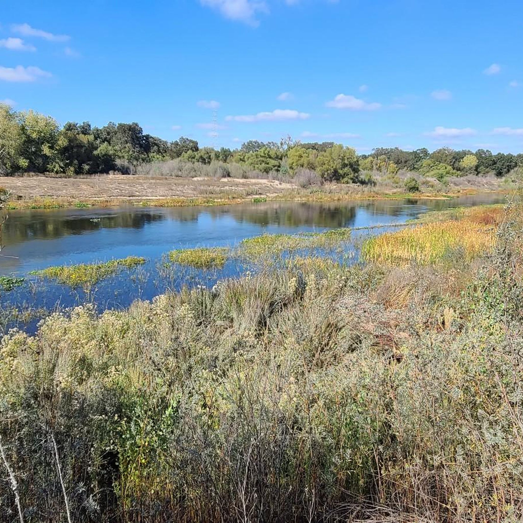
Mississippi Lake is a reservoir created by damming the Mississippi Creek. It's another remote lake in the Henry Coe State Park and a great destination for a ride. You can camp on the lake shore and there are Vault toilets at the south and northwest ends of the lake.
0
0
Mississippi Lake is a reservoir created by damming the Mississippi Creek. It's another remote lake in the Henry Coe State Park and a great destination for a run. You can camp on the lake shore and there are Vault toilets at the south and northwest ends of the lake.
0
0
Mississippi Lake is a reservoir created by damming the Mississippi Creek. It's another remote lake in the Henry Coe State Park and a great destination for a ride. You can camp on the lake shore and there are Vault toilets at the south and northwest ends of the lake.
0
0
Frequently Asked Questions
How many running routes are available in Stanislaus County?
Komoot features over 10 running routes in Stanislaus County, catering to various preferences and fitness levels. These include a mix of easy, moderate, and difficult trails.
What types of terrain can I expect on running trails in Stanislaus County?
Stanislaus County offers a diverse range of terrains for runners. You'll find flat riverside paths along the Stanislaus and Tuolumne Rivers, rolling grasslands, and oak-dotted landscapes in the Sierra Nevada foothills. Some routes also venture into forested areas and protected wildlife refuges.
Are there easy running routes suitable for beginners or casual joggers?
Yes, Stanislaus County has several easy running routes. For a serene experience, consider the Coit Lake Loop, which is 1.8 miles (2.9 km) through lakeshores and woodlands. Another accessible option is the Running loop from California State University, Stanislaus, which is a shorter, flatter route.
Where can I find more challenging running routes in the county?
For experienced runners seeking a challenge, Stanislaus County offers routes with significant elevation changes. The Center Flats Road route is a difficult 25 km (15.5 miles) trail with substantial climbs. Another demanding option is the North Fork, Mack's Corral, and Tie Down Trail Loop, which covers 4.5 miles (7.2 km) with notable elevation gains.
Are there any running routes with scenic views or landmarks?
Absolutely! Many routes offer beautiful scenery. The Stanislaus River Parks provide trails with views of riparian woodlands. For landmarks, you might encounter historical sites like the Knights Ferry Covered Bridge near some river trails. Henry W. Coe State Park routes, such as the Wagon Road and Tule Pond Trail Loop, offer scenic views of rolling hills and diverse landscapes.
Can I find loop running trails in Stanislaus County?
Yes, many of the running routes in Stanislaus County are designed as loops, perfect for a continuous run. Popular loop options include the Wagon Road and Tule Pond Trail Loop, the Mississippi Lake and Willow Ridge Road Loop, and the Coit Lake Loop, all within Henry W. Coe State Park.
Are there any long-distance running options in the area?
For those looking for longer runs, Stanislaus County offers extensive trails. The Center Flats Road route is a significant 25 km (15.5 miles) option. Additionally, the Stanislaus National Forest, while not directly within the county, is nearby and features over 1,000 miles of trails for very long-distance trail running.
Are the running trails in Stanislaus County dog-friendly?
Many parks and trails in Stanislaus County are dog-friendly, but it's always best to check specific park regulations before heading out. Generally, dogs are welcome on leash in most regional parks and open spaces. Henry W. Coe State Park, for example, allows dogs on paved roads and in developed areas, but often not on backcountry trails.
What are some good running routes for families?
Family-friendly running routes often feature easier terrain and shorter distances. The Coit Lake Loop is an excellent choice, offering a relatively flat 1.8-mile path through pleasant woodlands. Riverside trails within the Stanislaus River Parks, such as those at Orange Blossom or Valley Oak, also provide easy, scenic options suitable for families.
Are there running trails accessible by public transport?
While many of the more extensive trail systems in Stanislaus County, particularly those in state parks or foothills, are best accessed by car, some urban and community parks within cities like Modesto and Turlock may be reachable via local public transport. For specific routes, checking local transit schedules and park access points is recommended.
Where can I find parking for running trails in Stanislaus County?
Most regional parks and trailheads in Stanislaus County, including those in Henry W. Coe State Park and the Stanislaus River Parks, offer designated parking areas. For example, trails around Modesto and Woodward Reservoirs also provide parking facilities. It's advisable to check the specific route details on komoot or the park's official website for precise parking information.
What do other runners enjoy most about jogging in Stanislaus County?
Runners often praise the variety of landscapes available, from peaceful riverside paths to challenging foothill trails. The opportunity to explore diverse environments like riparian woodlands, rolling grasslands, and oak-dotted terrain is frequently highlighted. The region's vibrant running community and events like the Modesto Marathon also contribute to a positive experience.
Most popular attractions in Stanislaus County

Get inspired with the komoot mobile app


Didn’t find what you were looking for?
Check out more Running Trails & Routes throughout Stanislaus County below and find the perfect route in your destination.
Explore more
Browse the best Running Trails & Routes in other regions.
