The best road cycling routes around Hovsfjorden
52
riders
1
ride
Road cycling routes around Hovsfjorden traverse a landscape characterized by varied terrain, including significant elevation changes. The region features roads that wind through forested areas and open mountain plateaus, offering diverse cycling experiences. Routes often start from nearby towns like Geilo, leading cyclists through the surrounding natural environment. The area provides opportunities for both moderate and challenging road cycling, with routes featuring notable climbs and descents.
Best road cycling routes around Hovsfjorden
- The most popular road cycling route is Slåttahølen…
Last updated: July 1, 2026
15
riders
23.9km
01:46
340m
340m
Moderate road ride. Good fitness required. Some segments of this route may be unpaved and difficult to ride.
26
riders
111km
05:05
1,120m
1,120m
Hard road ride. Very good fitness required. Mostly well-paved surfaces and easy to ride.

Sign up for free
9
riders
124km
06:43
2,480m
2,480m
Hard road ride. Very good fitness required. Mostly well-paved surfaces and easy to ride.
Our route recommendations are based on thousands of hikes, rides, and runs completed by other people on komoot.
Start today with a free account
Your next adventure awaits.
Login or Signup
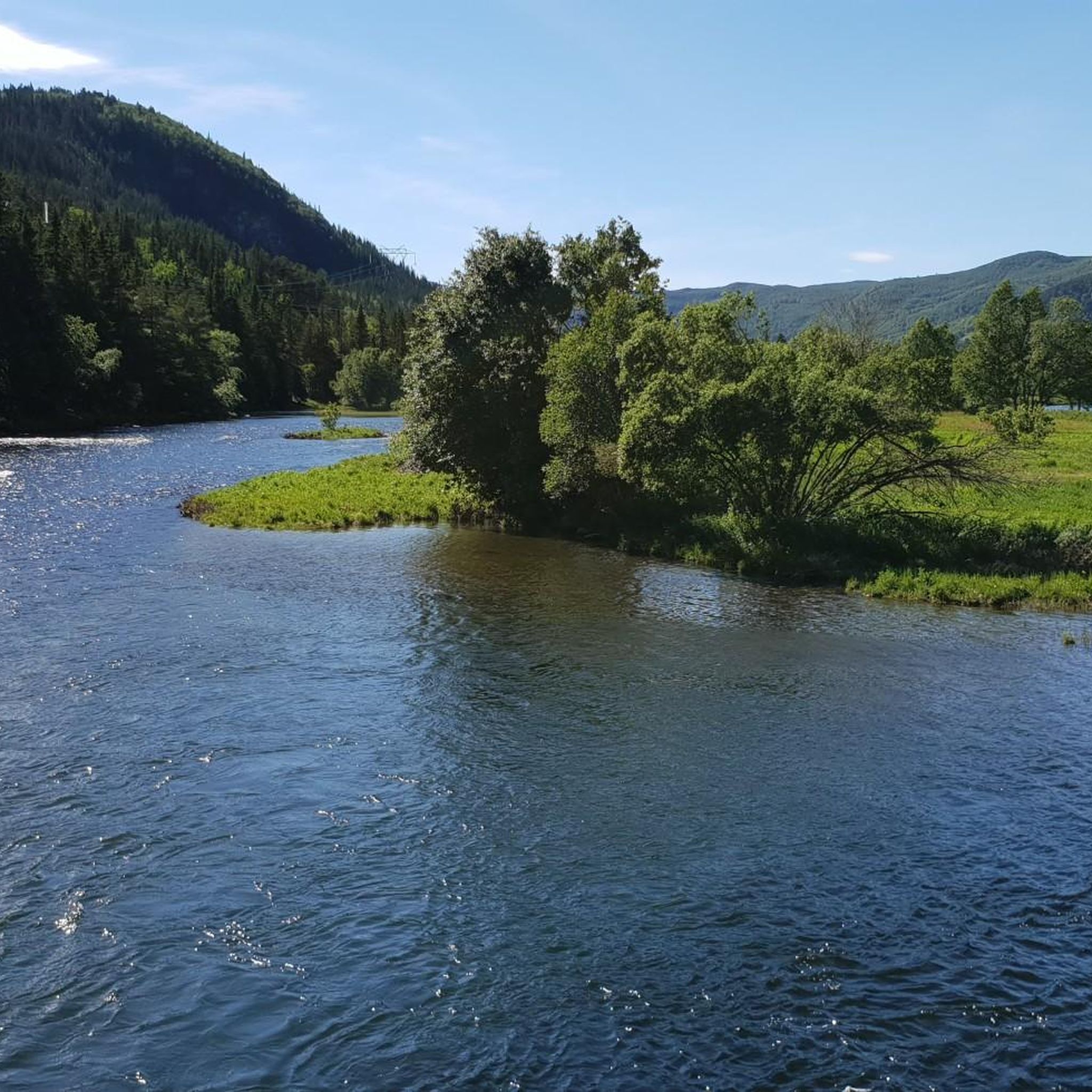
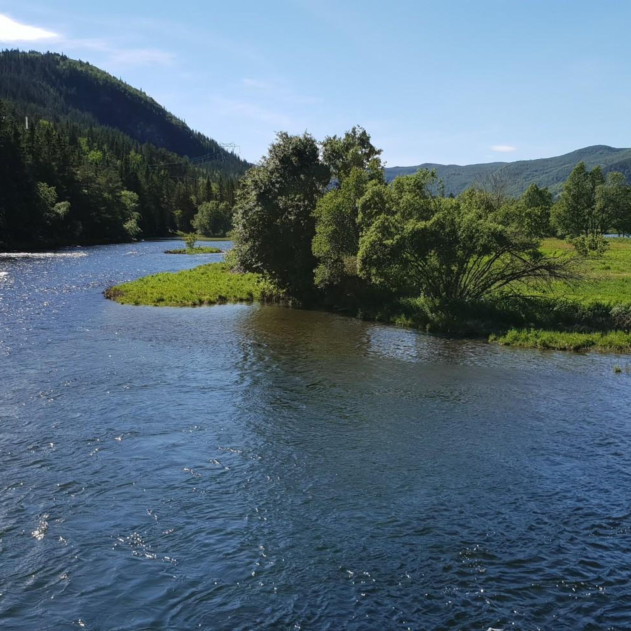
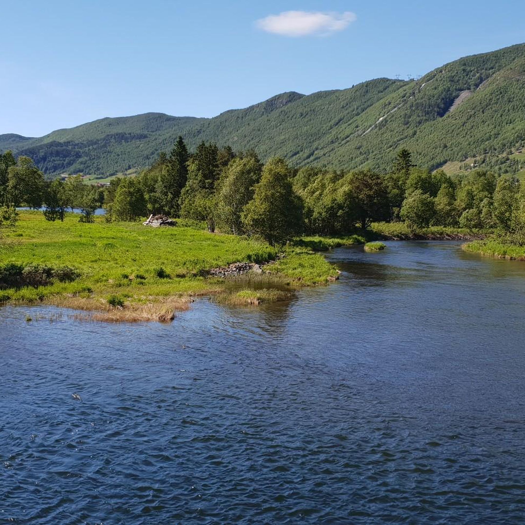
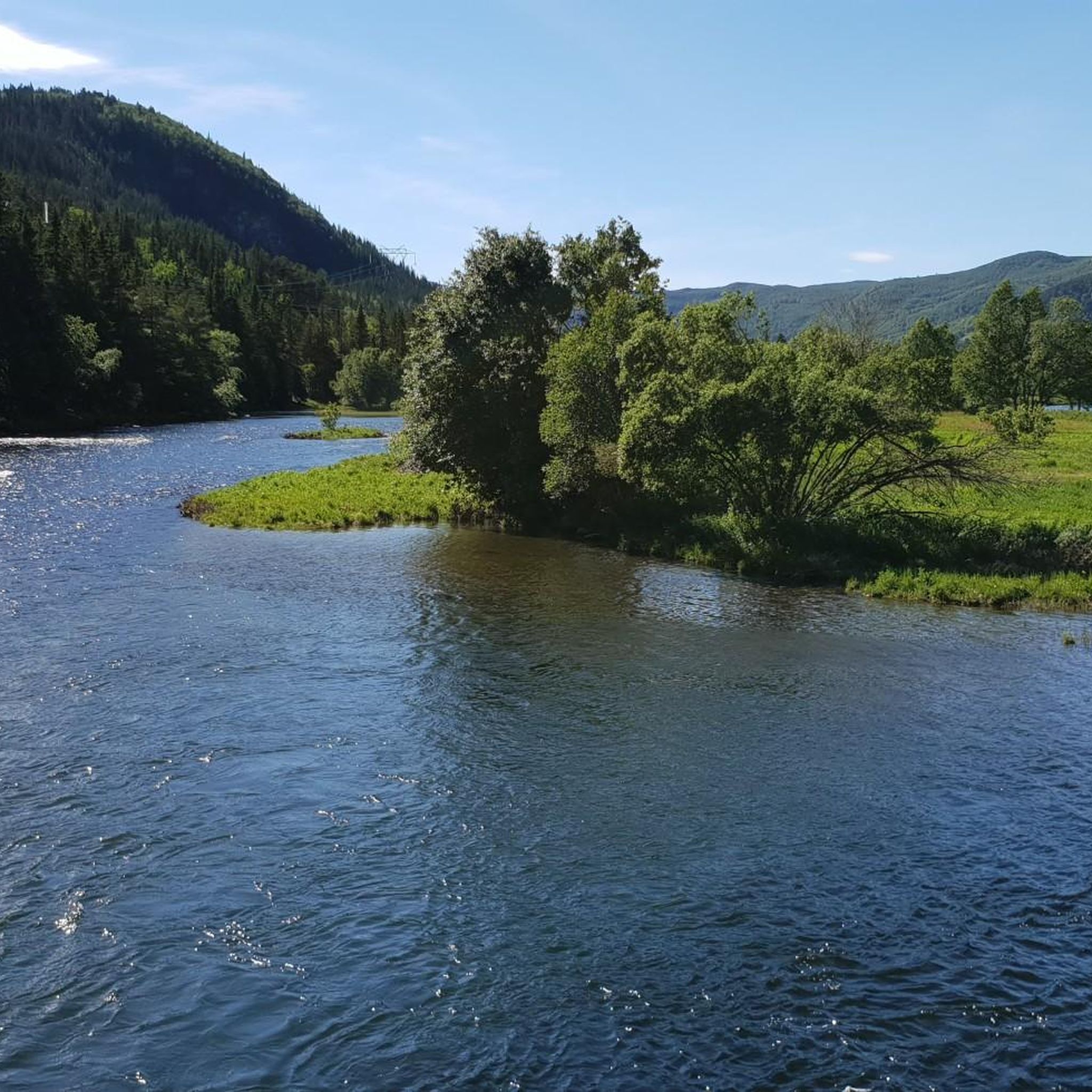
Tips from the Community

Train station in Geilo. The Bergen / Oslo train runs here. Stops en route: Sandvika, Asker, Drammen, Hokksund, Vikersund, Hønefoss, Nesbyen, Gol, Ål, Ustaoset, Haugastøl, Finse, Hallingskeid, Myrdal (transfer option to the Flåm Railway), Upsete, Mjølfjell and Voss.
0
0


Sønstevatn is a large reservoir situated high in the mountains. The road runs along part of its edge, providing expansive views across the water and the open, stark, mountain landscape.
0
0
Starting from the Stølo area, the road climbs steadily towards Sønstevatn lake. This ascent takes you into higher mountain terrain, requiring a consistent effort to get up. The reward is reaching the expansive landscape around the lake, which offers wide views.
0
0

Great for gravel cycling from Oslo to Geilo (or opposite direction). Away from traffice, goes through fantastic woods).
0
0
Geilo is a nice mountain commune with shops, restaurants and camping
0
0

Pasta only from 1200. Before that cardamom knute with cappuccino!
1
0

Between Brufoll and Fagerli there is a beautiful, remote off-road gravel route on the other side of the Skurdalsfjorden.
2
0
Frequently Asked Questions
Are there easy road cycling routes suitable for beginners around Hovsfjorden?
While the region is known for varied terrain and significant elevation changes, there are moderate options. For a good introduction, consider the Slåttahølen – Huldreskogen loop from Geilomoen, which is 15.7 miles (25.3 km) with moderate elevation gain.
What are some challenging road cycling routes in the Hovsfjorden area?
Hovsfjorden offers several challenging routes with substantial climbs. The Halne – Dyranut Fjellstova loop from Geilo is a difficult 68.8 miles (110.7 km) path with over 3,636 feet (1,109 meters) of ascent across open mountain landscapes. Another demanding option is the Ismalfossen – Highland Bakery loop from Geilo, a 77.4 miles (124.5 km) trail with significant climbs.
What is the typical length and duration of road cycling routes around Hovsfjorden?
Route lengths vary significantly. You can find shorter, moderate loops like the Slåttahølen – Huldreskogen loop from Geilomoen, which is 15.7 miles (25.3 km) and takes about 1 hour 45 minutes. Longer, more challenging routes, such as the Ismalfossen – Highland Bakery loop from Geilo, can extend to 77.4 miles (124.5 km) and take nearly 7 hours to complete.
Are there any circular road cycling routes available in Hovsfjorden?
Yes, many of the routes around Hovsfjorden are designed as loops, allowing you to start and finish in the same location. Examples include the Slåttahølen – Huldreskogen loop from Geilomoen and the longer Halne – Dyranut Fjellstova loop from Geilo.
Where are common starting points for road cycling routes in Hovsfjorden?
Many road cycling routes in the Hovsfjorden area, including those highlighted in this guide, commonly start from the nearby town of Geilo. This provides convenient access to the surrounding natural environment and varied terrain.
What is the best time of year for road biking in Hovsfjorden?
The summer months typically offer the most favorable conditions for road cycling in Hovsfjorden, with warmer temperatures and longer daylight hours. However, always check local weather forecasts as mountain weather can be unpredictable.
Are there family-friendly road bike trails around Hovsfjorden?
While the region features significant elevation changes, moderate routes like the Slåttahølen – Huldreskogen loop from Geilomoen could be suitable for families with some cycling experience. It's advisable to assess the elevation profile and distance to match your family's ability.
What kind of terrain can I expect on road cycling routes in Hovsfjorden?
Road cycling around Hovsfjorden is characterized by a diverse landscape. You'll encounter roads winding through forested sections, open mountain plateaus, and routes with notable climbs and descents, offering a varied cycling experience.
Are there any scenic viewpoints along the road cycling routes in Hovsfjorden?
The routes often traverse open mountain landscapes and high plateaus, providing numerous opportunities for scenic views of the surrounding natural environment. The region's varied terrain ensures picturesque vistas throughout your ride.
How many road cycling routes are available for Hovsfjorden on komoot?
Komoot features a selection of highly-rated road cycling routes around Hovsfjorden, showcasing the best of the region's landscape. Over 50 road cyclists have already used komoot to explore this area.
Are there any amenities like cafes or bakeries along the road cycling routes?
Some routes, such as the Ismalfossen – Highland Bakery loop from Geilo, pass by establishments like Highland Bakery, offering opportunities for refreshments. It's always a good idea to check the route details for specific points of interest and services.
What is the elevation gain like on road cycling routes in Hovsfjorden?
Road cycling in Hovsfjorden often involves significant elevation changes. Moderate routes might have around 1,197 feet (365 meters) of elevation gain, while more difficult routes can feature over 3,636 feet (1,109 meters) of ascent, or even close to 8,200 feet (2,500 meters) on longer trails.
Most popular routes around Hovsfjorden

Get inspired with the komoot mobile app


Explore more
Browse the best Road cycling routes in other regions.
