The best walks and hikes around Skjærsjøen
4.5
(1008)
8,793
hikers
308
hikes
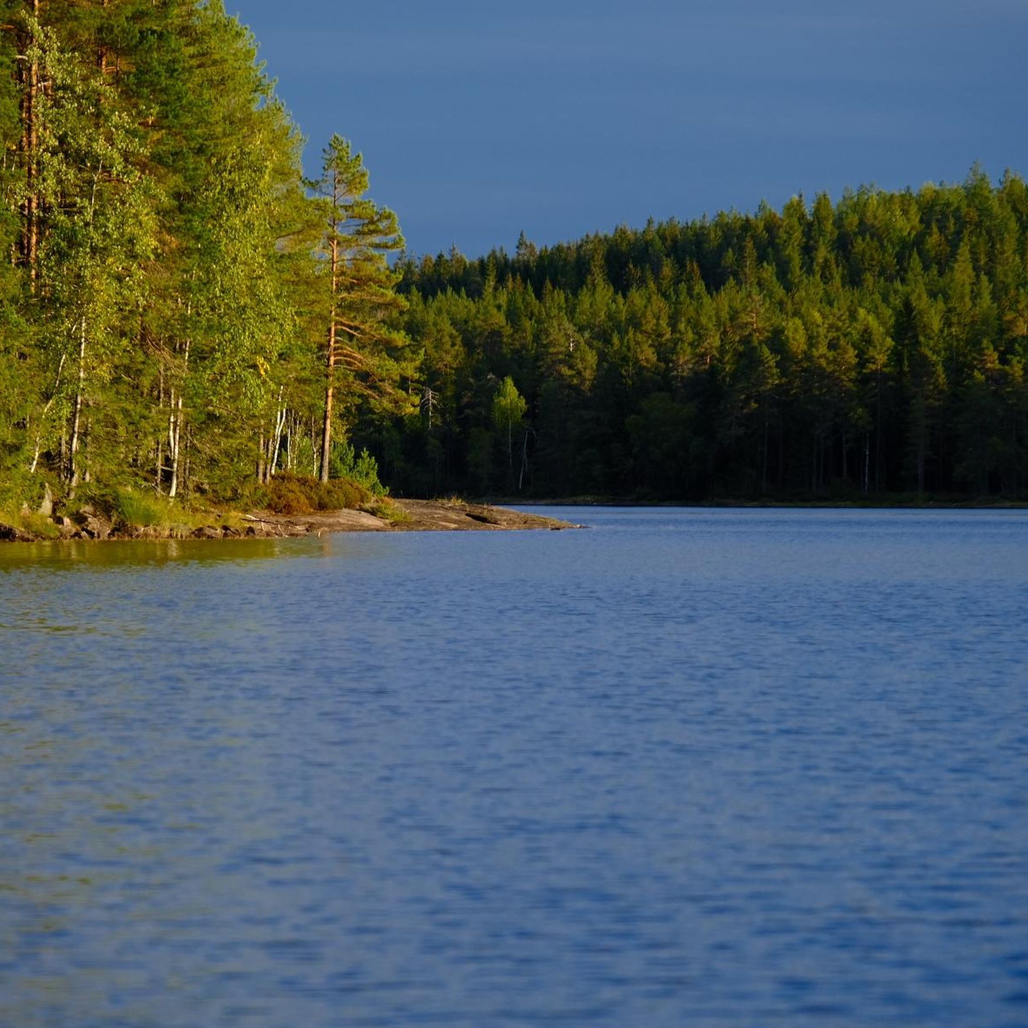
Hiking around Skjærsjøen offers diverse trails through varied natural landscapes. The region is characterized by the central Skjærsjøen Lake, surrounded by dense and diverse forest scenery. Hikers can explore rocky forest paths and encounter features like the Skjærsjøen Bridge and the Bjørnsjøhelvete Suspension Bridge. These elements combine to provide a range of hiking experiences for different fitness levels.
Best hiking trails around Skjærsjøen
- The most popular hiking route is Skjærsjøen Lake – Ullevålseter loop from Voksentoppen, a 5.8 miles…
Last updated: May 14, 2026
8
hikers
9.26km
02:36
180m
180m
Moderate hike. Good fitness required. Mostly accessible paths. Sure-footedness required.
4.0
(1)
7
hikers
3.89km
01:05
70m
70m
Easy hike. Great for any fitness level. Easily-accessible paths. Suitable for all skill levels.

Sign up for free
1
hikers
5.82km
01:40
40m
300m
Easy hike. Great for any fitness level. Easily-accessible paths. Suitable for all skill levels.
4.3
(46)
158
hikers
15.2km
04:20
340m
340m
Moderate hike. Good fitness required. Mostly accessible paths. Sure-footedness required.
33
hikers
8.13km
02:18
180m
180m
Moderate hike. Good fitness required. Easily-accessible paths. Suitable for all skill levels.
Get access to more routes and recommendations from other explorers.
Sign up for free
Already have an account?
Our route recommendations are based on thousands of hikes, rides, and runs completed by other people on komoot.
Start today with a free account
Your next adventure awaits.
Login or Signup
Tips from the Community

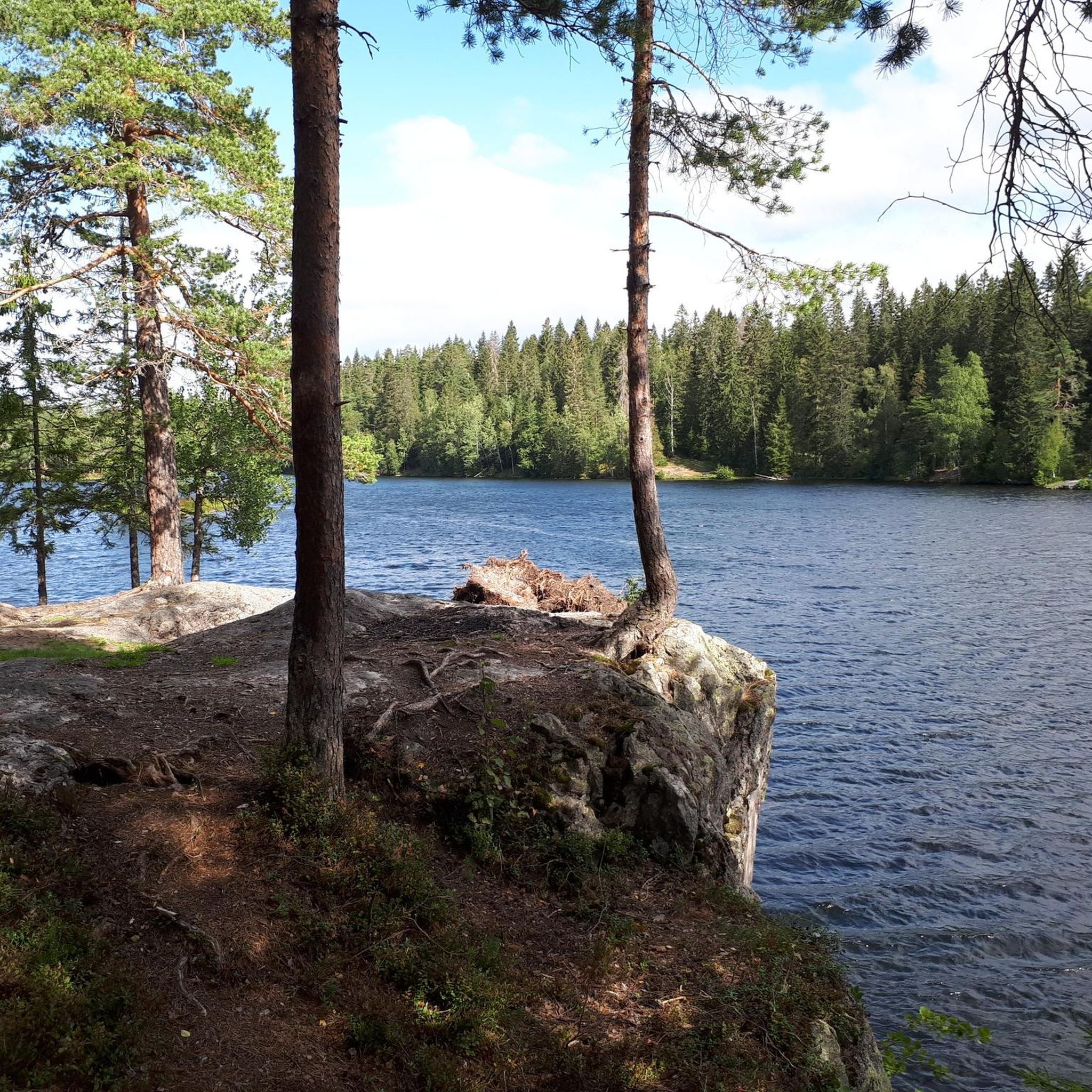
With the dense trees and ferns on the ground, it is as if you are walking through a green 'bubble'. A beautiful hiking trail.
0
0
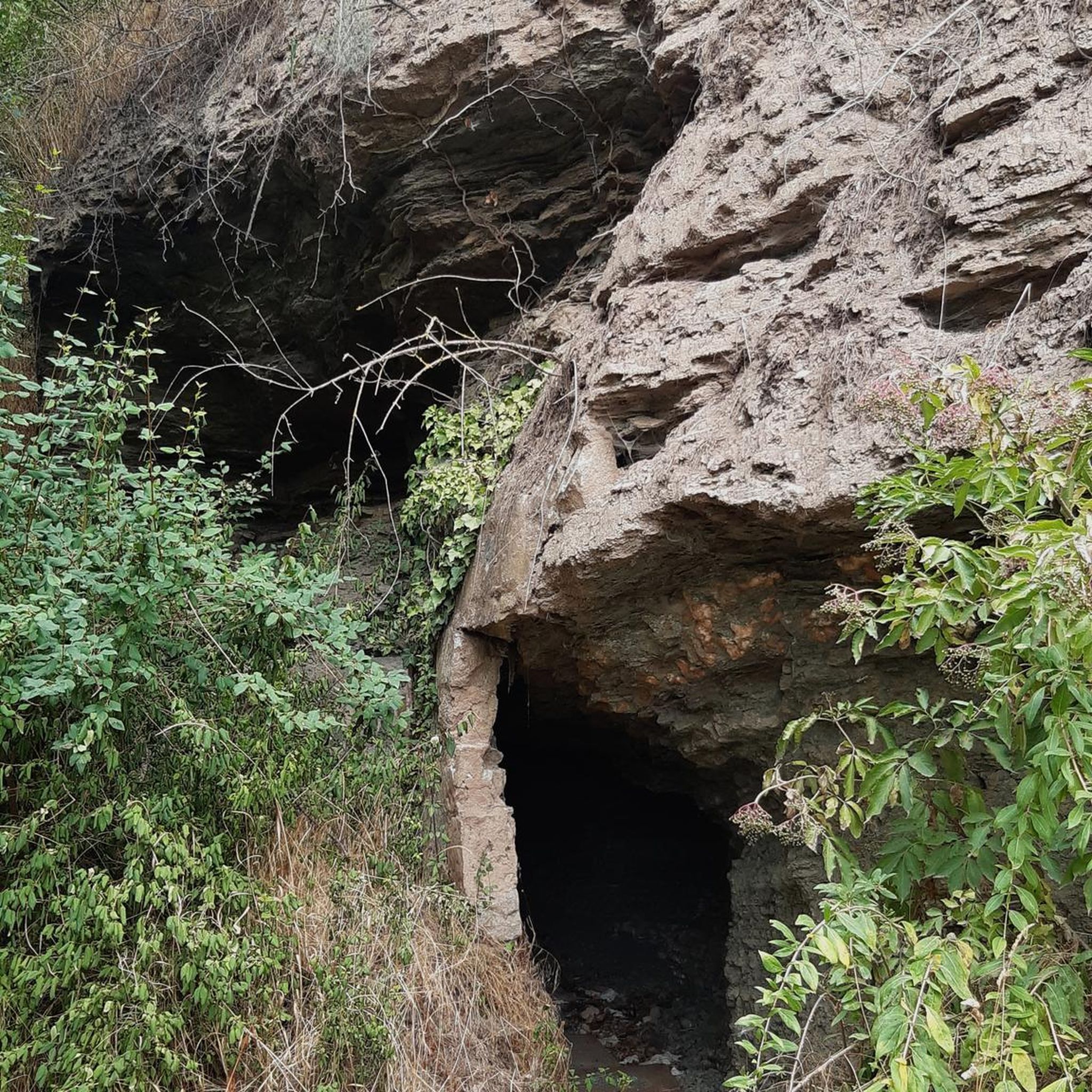
A modest peak surrounded by forests, which makes for an ideal break spot.
0
0
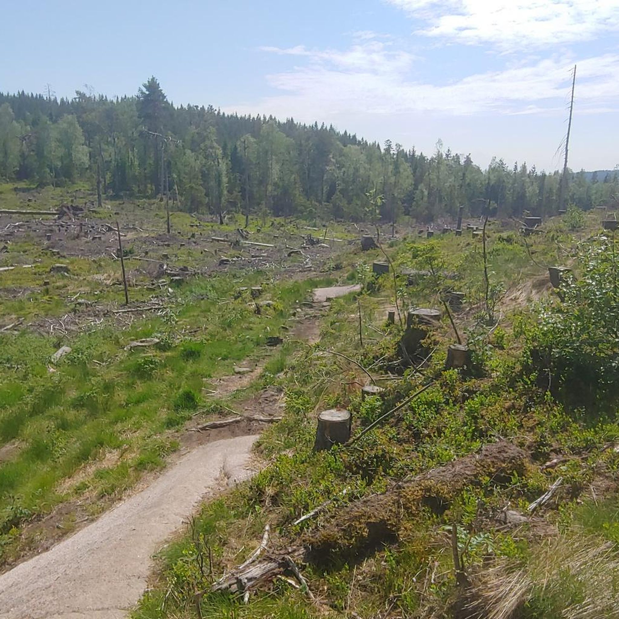
This rocky forest trail, full of roots, makes for a challenging but ultimately rewarding hiking experience.
0
0


A worthwhile stopover… even in (late) summer
0
0


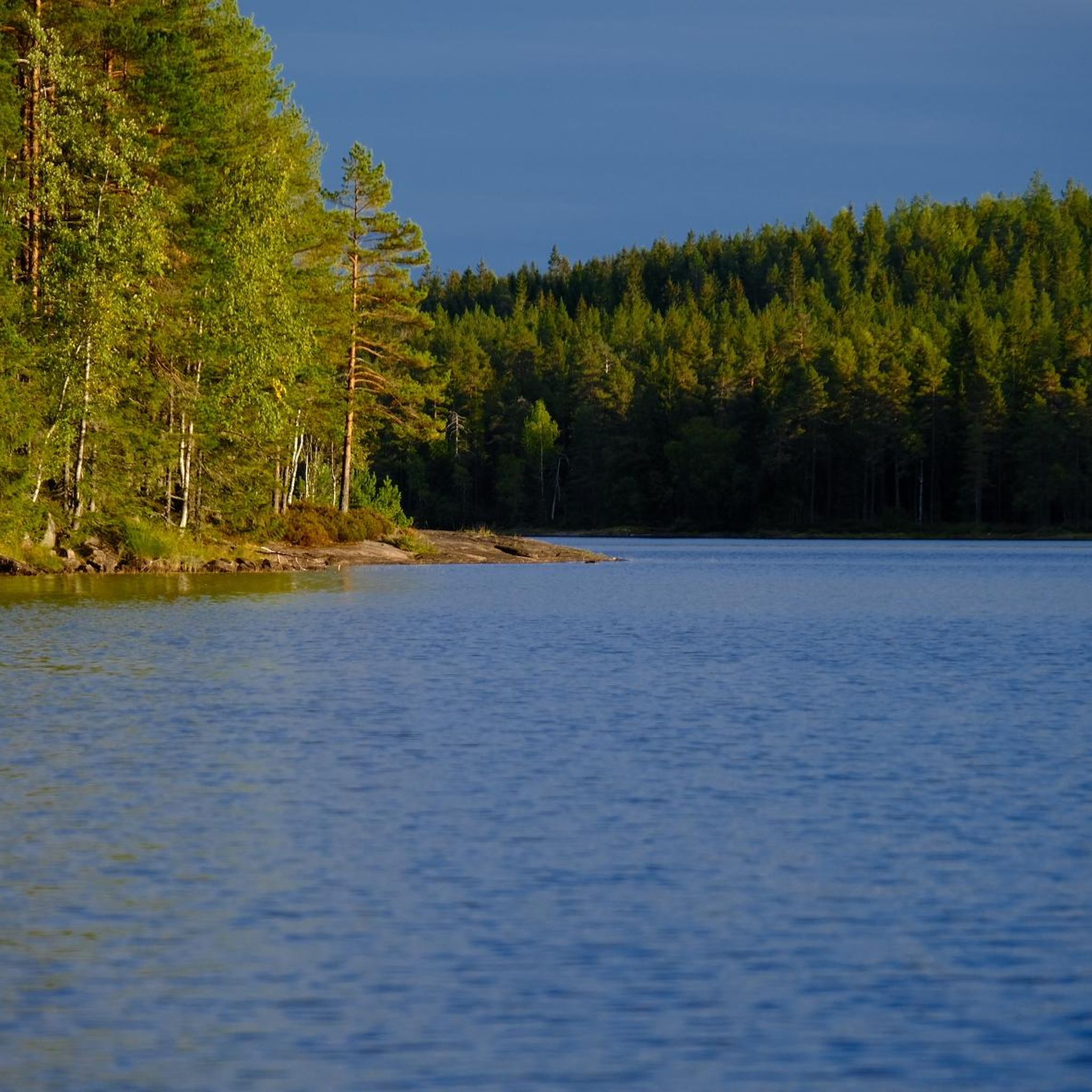
A quiet bridge with a splendid view over the still waters of Lake Skjærsjøen. From here, you can admire the peaceful lake framed by dense forest, with the red boathouse adding a touch of charm.
0
1
A thrilling suspension bridge hidden deep in Nordmarka, just above the roaring waters of Bjørnsjøhelvete gorge. The crossing is short but impressive, surrounded by dense pine forest and echoing with the sound of the river far below.
0
0
Frequently Asked Questions
How many hiking trails are available around Skjærsjøen?
There are over 290 hiking trails around Skjærsjøen, offering a wide variety of experiences. These range from easy strolls to more challenging routes through rocky forest terrain, ensuring options for different fitness levels.
What are the typical difficulty levels for hikes in Skjærsjøen?
The trails around Skjærsjøen offer a mix of difficulty levels. You'll find approximately 125 easy routes, 149 moderate routes, and 22 more difficult options. This variety allows hikers to choose paths that match their experience and fitness.
Are there any family-friendly hiking options around Skjærsjøen?
Yes, Skjærsjøen offers several family-friendly routes. For an easier walk through diverse woodlands, consider the Gamle Skjennungsvei Trail, which is about 2.4 miles (3.9 km) long and takes just over an hour to complete. Many of the easy-rated trails are suitable for families.
What interesting natural features or landmarks can I see while hiking in Skjærsjøen?
Hikers can discover several notable features. The tranquil Skjærsjøen Lake itself is a central attraction, with the Skjærsjøen Bridge offering splendid views. For a more thrilling experience, the Bjørnsjøhelvete Loop Trail includes the impressive Bjørnsjøhelvete Suspension Bridge, situated above a roaring gorge in Nordmarka's pine forest. You'll also encounter diverse forest scenery and rocky paths throughout the region.
Are there any circular hiking routes around Skjærsjøen?
Yes, there are several circular routes. A popular moderate option is the Skjærsjøen Lake – Ullevålseter loop from Voksentoppen, which is about 5.8 miles (9.3 km) and takes around 2 hours 35 minutes. Another moderate loop is the Skjærsjøen Bridge – Skjærsjøen Lake loop from Maridalen landskapsvernområde, covering about 9 miles (14.5 km).
What do other hikers enjoy most about the trails in Skjærsjøen?
The trails in Skjærsjøen are highly rated by the komoot community, with an average score of 4.6 stars from over 900 reviews. Hikers often praise the tranquil lake views, the diverse and dreamy forest scenery, and the well-maintained paths that offer a range of experiences from easy walks to more challenging rocky sections.
What is the best time of year to go hiking in Skjærsjøen?
Skjærsjøen offers beautiful hiking experiences throughout much of the year. Spring and summer provide lush greenery and pleasant temperatures, while autumn transforms the forests with vibrant colors. Winter hiking is also possible, but conditions can vary, so it's advisable to check local reports for snow and ice.
Are there any cafes or places to get refreshments near the hiking trails?
While specific cafes directly on every trail are not listed, the region is part of Nordmarka, which is known for its 'markastuer' (lodge cafes). These often provide refreshments and are popular stops for hikers. It's recommended to check local maps or guides for current operating hours and locations of these lodges.
Can I reach the Skjærsjøen hiking trails using public transport?
Yes, many areas of Nordmarka, including those around Skjærsjøen, are accessible by public transport from Oslo. Specific bus or tram lines can take you to starting points for various trails. It's best to consult local public transport schedules for the most up-to-date information on routes and stops near your desired trailhead.
Are there options for parking near the Skjærsjøen hiking areas?
Parking is generally available at common entry points to the Nordmarka forest, which encompasses Skjærsjøen. Popular starting points like Voksentoppen or areas around Maridalen often have designated parking facilities. However, availability can vary, especially during peak hiking seasons, so arriving early is advisable.
What kind of terrain can I expect on the more challenging trails in Skjærsjøen?
For those seeking a more challenging experience, trails in Skjærsjøen can feature rocky, root-filled paths and steeper ascents. These routes often lead through dense pine forests and offer rewarding views, requiring sure-footedness and good physical fitness.
Are dogs allowed on the hiking trails around Skjærsjøen?
Generally, dogs are welcome on hiking trails in Norway, including those around Skjærsjøen, provided they are kept on a leash, especially during certain times of the year to protect wildlife. Always ensure to clean up after your dog and respect local regulations regarding pets in natural areas.
Most popular routes around Skjærsjøen

Get inspired with the komoot mobile app


Explore more
Browse the best Hikes in other regions.
